Article

Developing an Enhanced Ecological Evaluation Index (EEEI) Based on Remotely Sensed Data and Assessing Spatiotemporal Ecological Quality in Guangdong–Hong Kong–Macau Greater Bay Area, China

1
Institute of Agricultural Economics and Information, Guangdong Academy of Agricultural Sciences, Guangzhou 510640, China
2
Key Laboratory of Urban Agriculture in South China, Ministry of Agriculture and Rural Affairs, Guangzhou 510640, China
3
School of Geography, South China Normal University, Guangzhou 510631, China
4
Joint Laboratory of Plateau Surface Remote Sensing, Tibet University, Lhasa 850000, China
*
Author to whom correspondence should be addressed.
Remote Sens. 2022, 14(12), 2852; https://doi.org/10.3390/rs14122852
Submission received: 11 May 2022 / Revised: 2 June 2022 / Accepted: 8 June 2022 / Published: 14 June 2022
(This article belongs to the Special Issue Feature Paper Special Issue on Ecological Remote Sensing)

Abstract

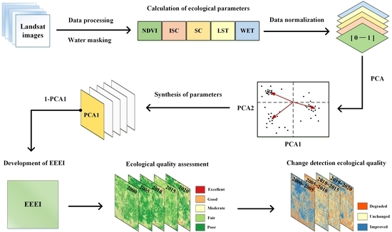
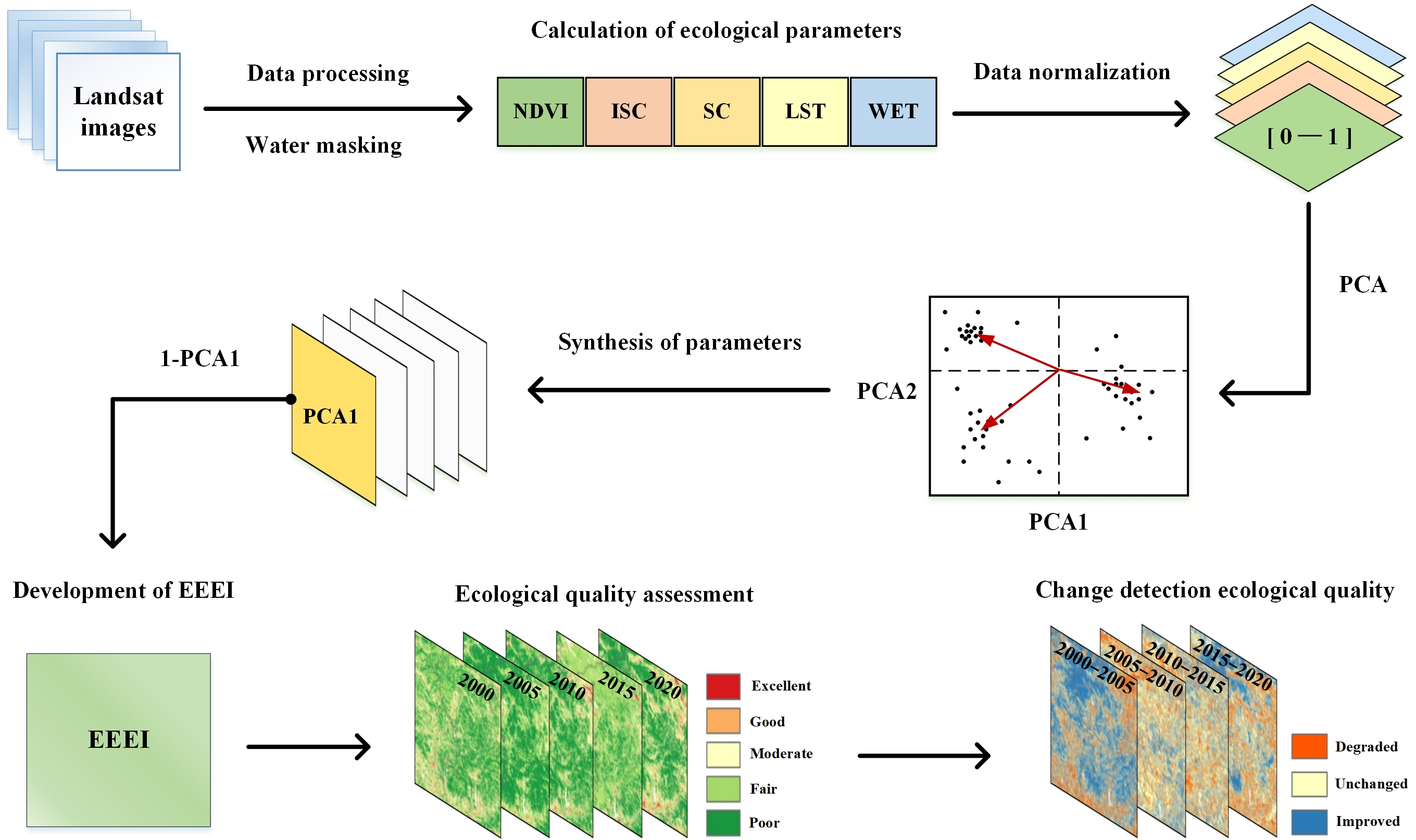
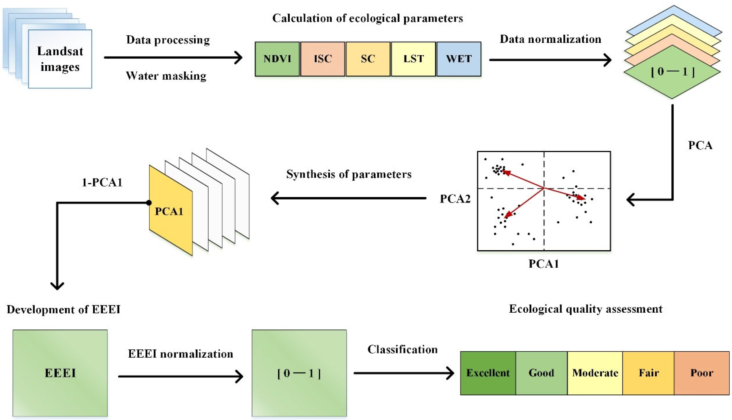
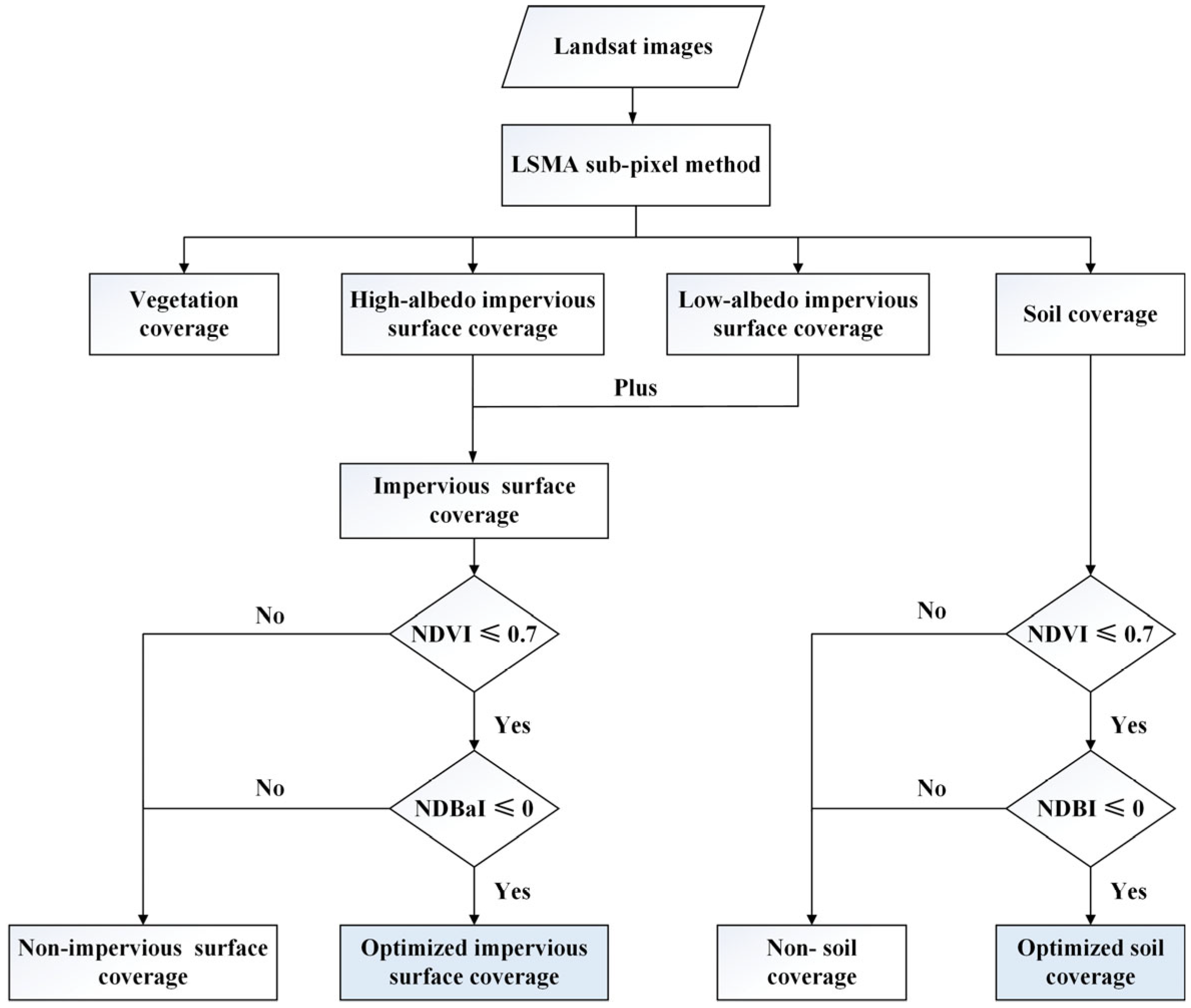
Ecological changes affected by increasing human activities have highlighted the importance of ecological quality assessments. An appropriate and efficient selection of ecological parameters is fundamental for ecological quality assessments. On the basis of remote sensing data and methods, this study developed an enhanced ecological evaluation index (EEEI) with five integrated ecological parameters by containing pixel and sub-pixel information: normalized difference vegetation index, impervious surface coverage, soil coverage, land surface temperature, and wetness component of tasseled cap transformation. Significantly, the EEEI simultaneously considered the five aspects of land surface ecological conditions (i.e., greenness, human activities, dryness, heat, and moisture), which provided an effective guide for the systematic selection of ecological parameters. The EEEI has a clear theoretical framework, and all the parameters can be obtained quickly on the basis of the remote sensing datasets and methods, which is suitable for the promotion and application of ecological quality assessments to various areas and scales. Furthermore, the EEEI was applied to assess and detect the ecological quality of the Guangdong–Hong Kong–Macau Greater Bay Area (GBA) of China. Assessment results indicated that the ecological quality of the GBA is currently facing great challenges with a degradation trend from 2000 to 2020, which emphasizes the significance and urgency for eco-environmental protection of the GBA. This provided evidence that the EEEI can be used as an effective index for scientific, objective, quantitative, and comprehensive ecological quality assessment, which can also aid regional environmental management and ecological protection.
Keywords: remote sensing; ecological quality; ecological index; environmental management; Guangdong–Hong Kong–Macau Greater Bay Area (GBA) remote sensing; ecological quality; ecological index; environmental management; Guangdong–Hong Kong–Macau Greater Bay Area (GBA)
Graphical Abstract