Article

A Bayesian Network Approach to Evaluating the Effectiveness of Modern Mine Hunting
by
Tim R. Hammond
1,*,
Øivind Midtgaard
2 and
Warren A. Connors
1
1
Defence Research and Development Canada—Atlantic Research Centre, 9 Grove St., Dartmouth, NS B3A 3C5, Canada
2
Norwegian Defence Research Establishment (FFI), P.O. Box 25, NO-2027 Kjeller, Norway
*
Author to whom correspondence should be addressed.
Remote Sens. 2021, 13(21), 4359; https://doi.org/10.3390/rs13214359
Submission received: 21 September 2021 / Revised: 22 October 2021 / Accepted: 26 October 2021 / Published: 29 October 2021

Abstract

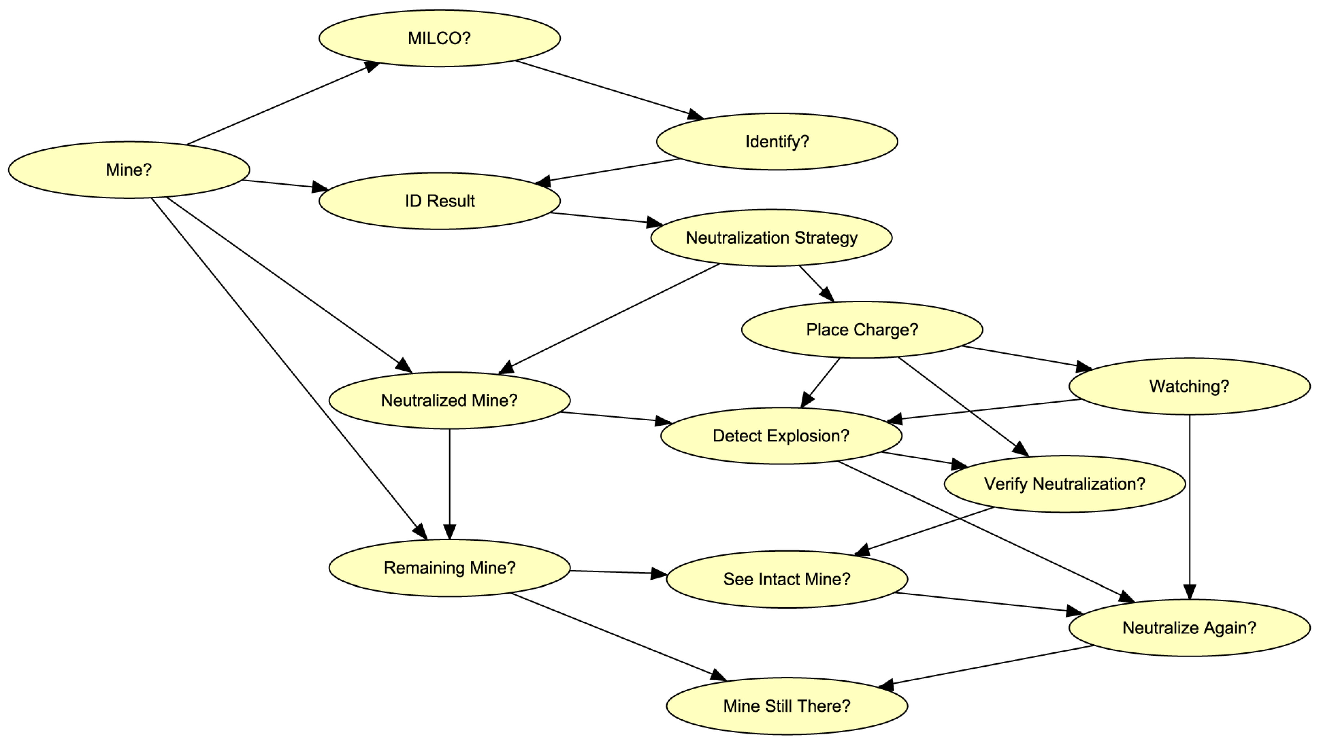
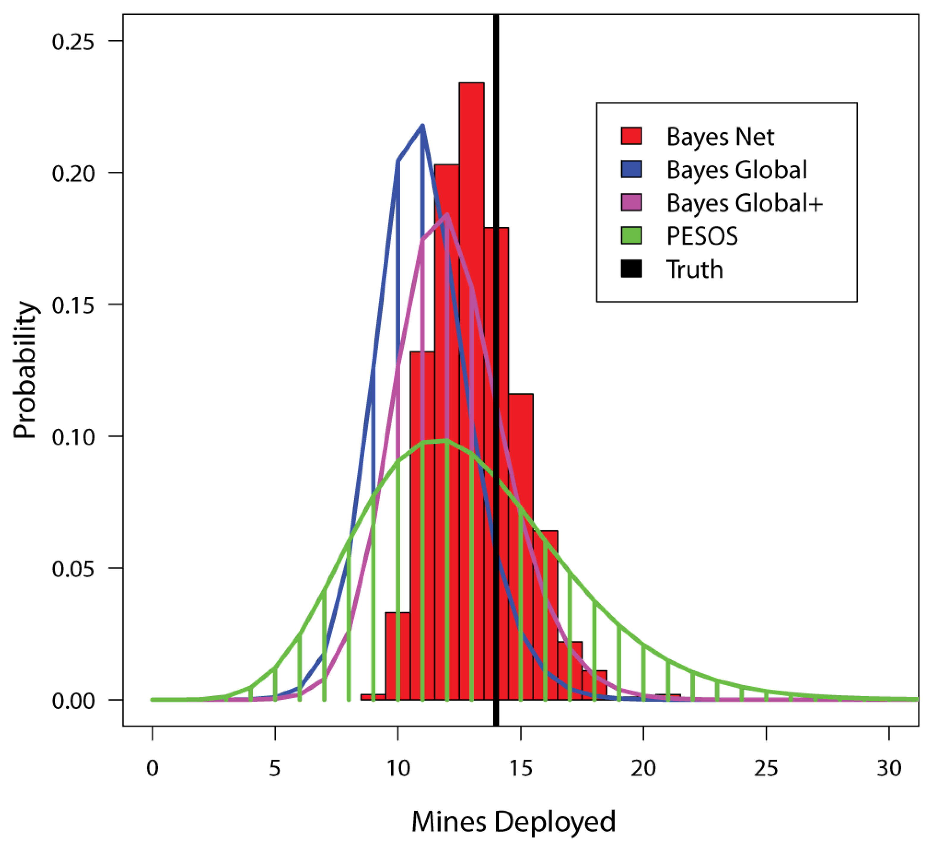
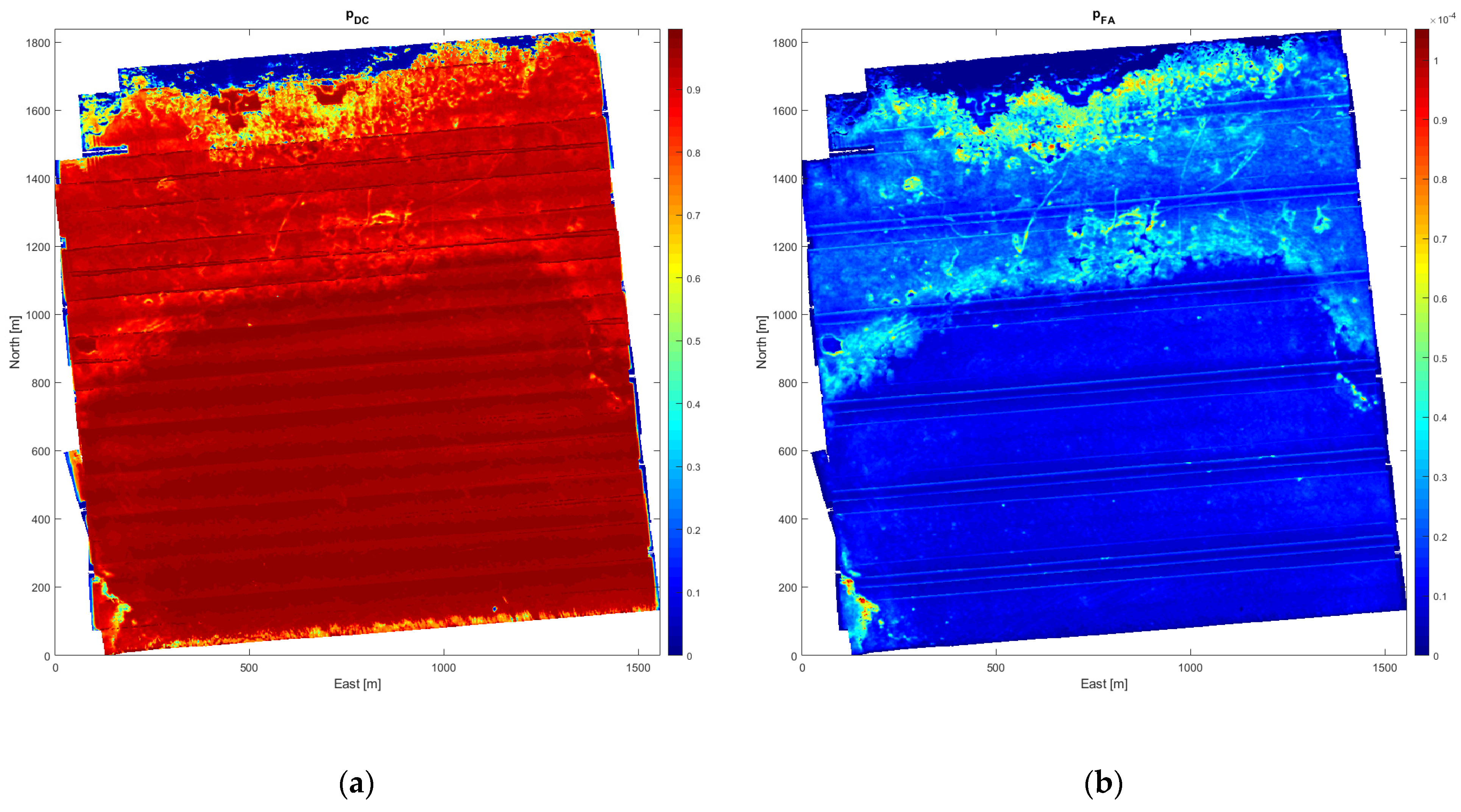
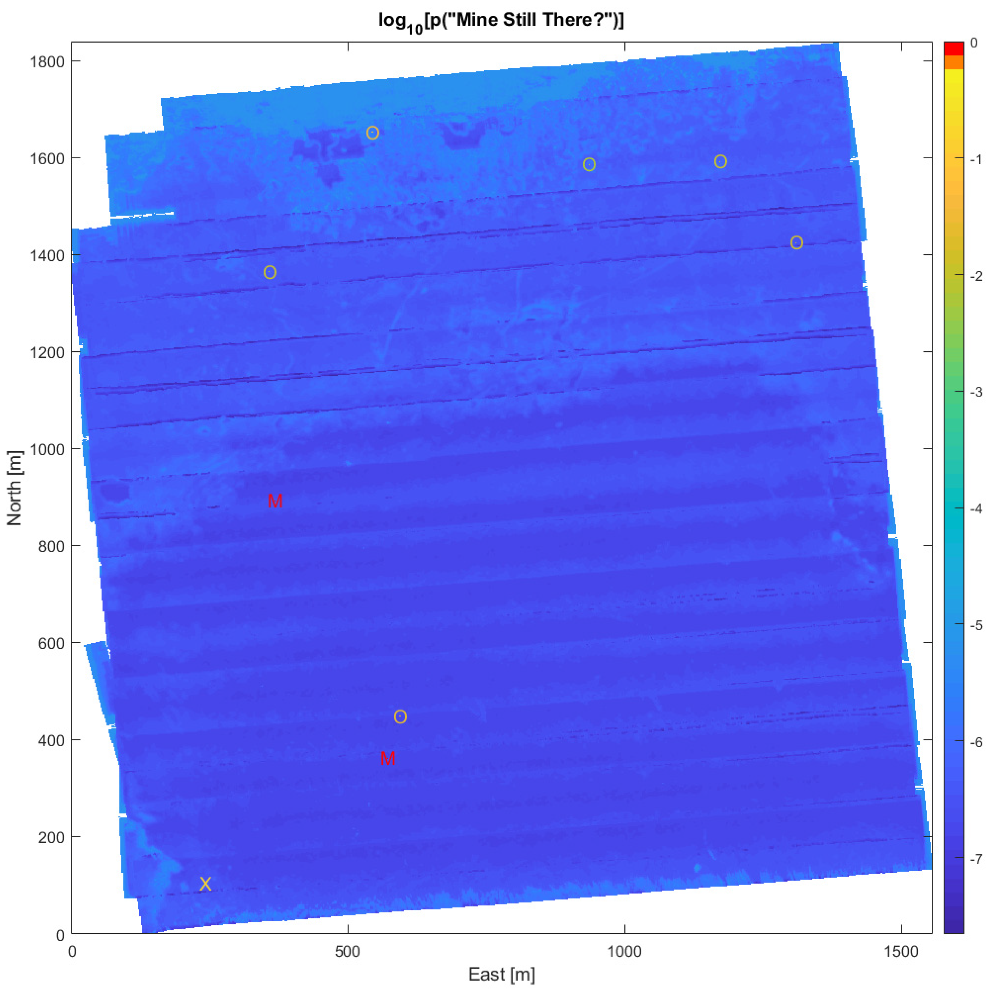
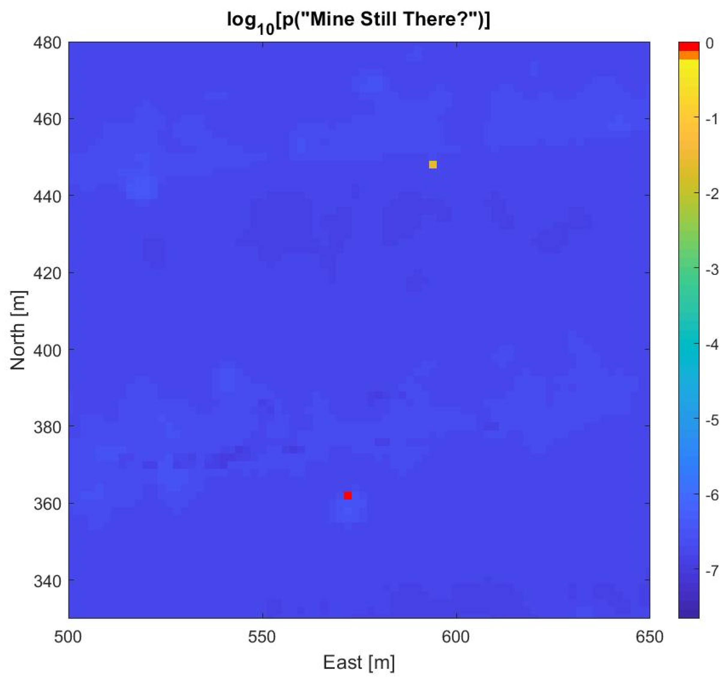
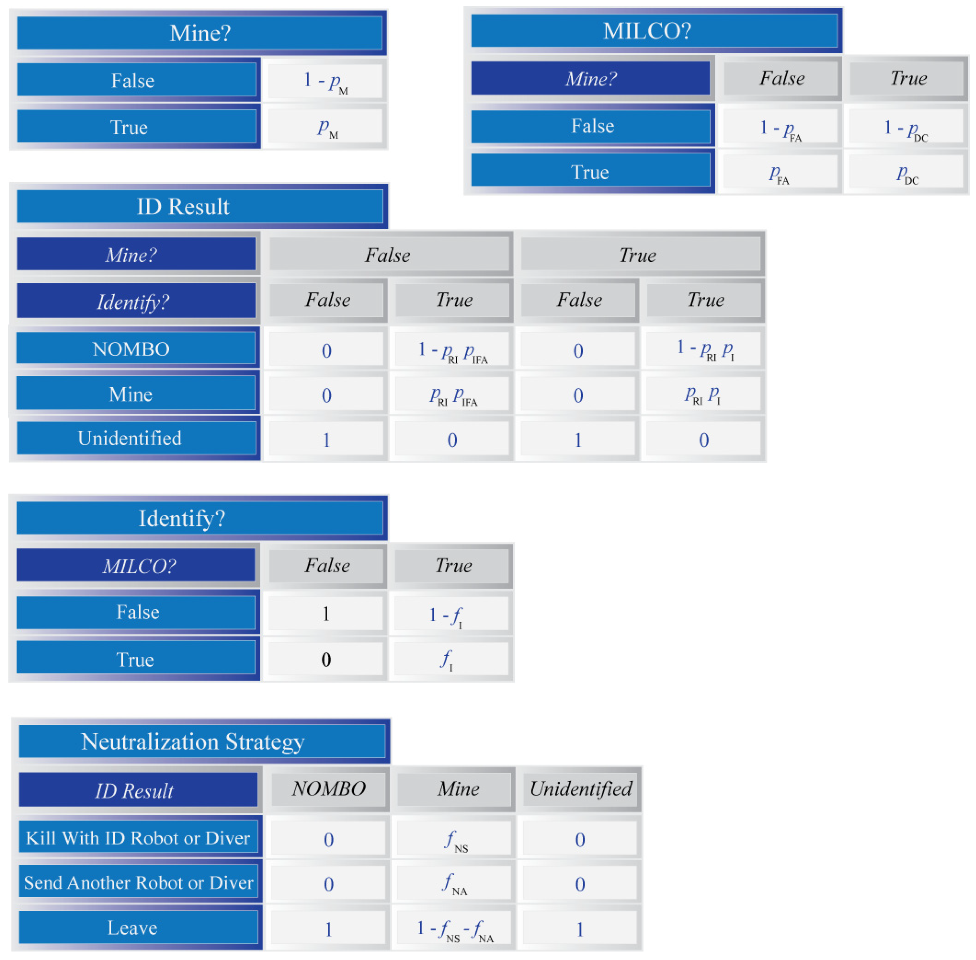
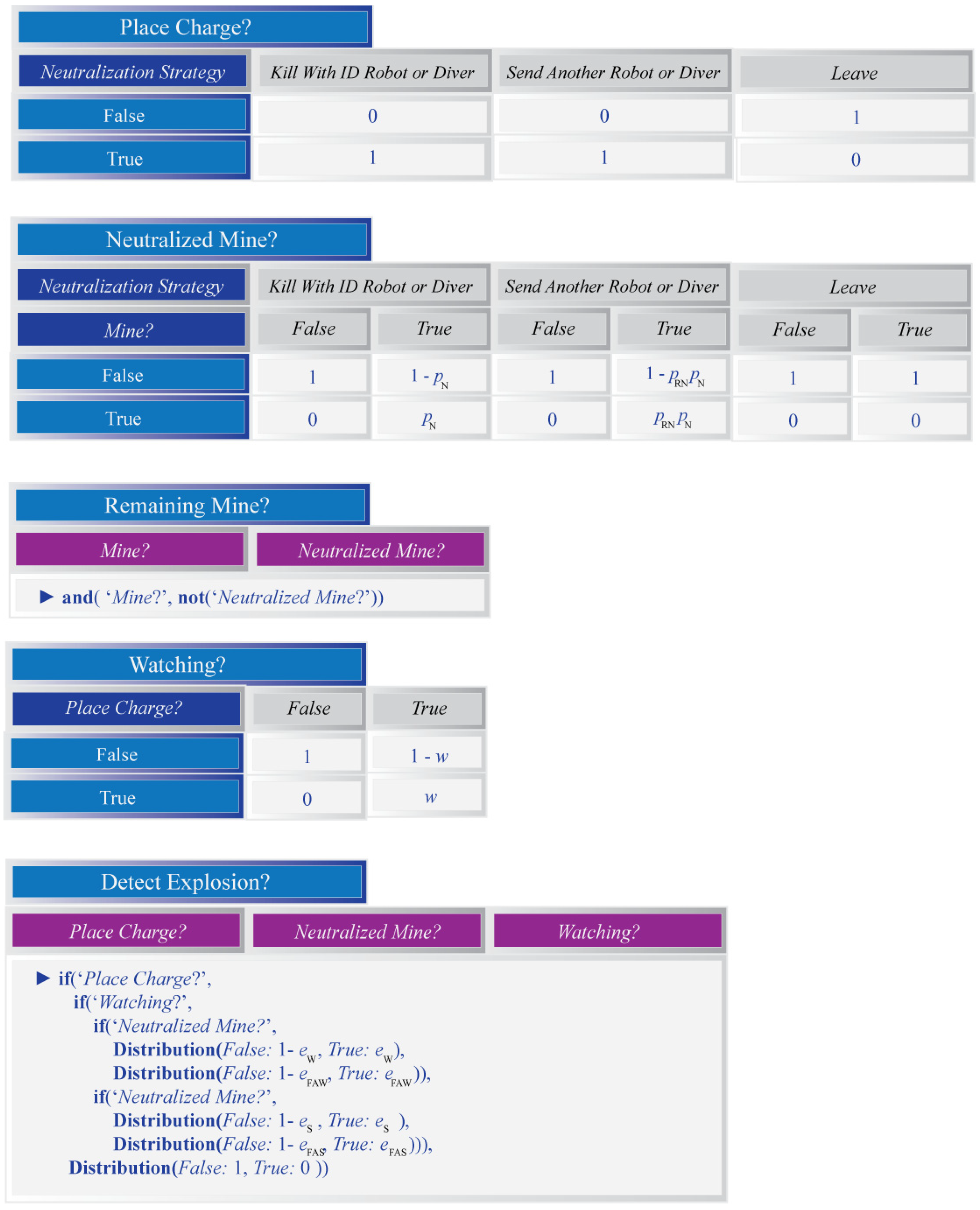
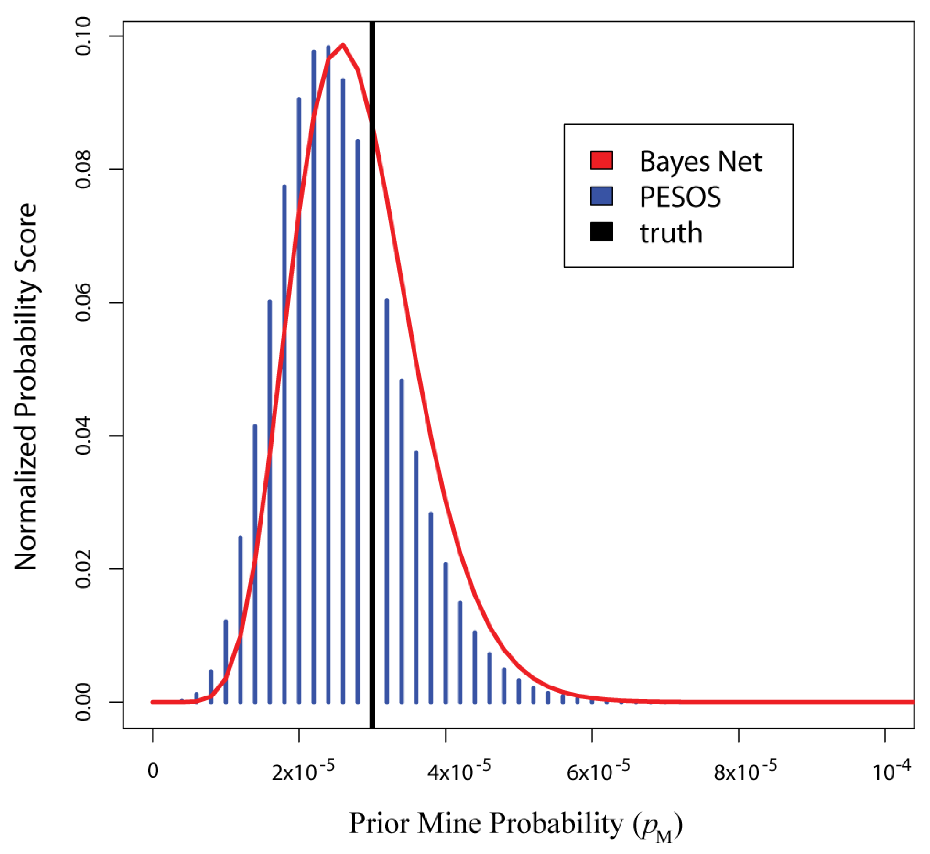
This paper describes a novel technique for estimating how many mines remain after a full or partial underwater mine hunting operation. The technique applies Bayesian fusion of all evidence from the heterogeneous sensor systems used for detection, classification, and identification of mines. It relies on through-the-sensor (TTS) assessment, by which the sensors’ performances can be measured in situ through processing of their recorded data, yielding the local mine recognition probability, and false alarm rate. The method constructs a risk map of the minefield area composed of small grid cells (~4 m2) that are colour coded according to the remaining mine probability. The new approach can produce this map using the available evidence whenever decision support is needed during the mine hunting operation, e.g., for replanning purposes. What distinguishes the new technique from other recent TTS methods is its use of Bayesian networks that facilitate more complex reasoning within each grid cell. These networks thus allow for the incorporation of two types of evidence not previously considered in evaluation: the explosions that typically result from mine neutralization and verification of mine destruction by visual/sonar inspection. A simulation study illustrates how these additional pieces of evidence lead to the improved estimation of the number of deployed mines (M), compared to results from two recent TTS evaluation approaches that do not use them. Estimation performance was assessed using the mean squared error (MSE) in estimates of M.
Keywords: bayesian network; naval mine countermeasures; risk; through-the-sensor evaluation bayesian network; naval mine countermeasures; risk; through-the-sensor evaluation
Graphical Abstract