Article

Ocean Currents Reconstruction from a Combination of Altimeter and Ocean Colour Data: A Feasibility Study


by
Daniele Ciani
1,*,
Elodie Charles
2,
Bruno Buongiorno Nardelli
3,
Marie-Hélène Rio
4 and
Rosalia Santoleri
1
1
Consiglio Nazionale delle Ricerche, Istituto di Scienze Marine (CNR-ISMAR), 00133 Rome, Italy
2
Collecte Localisation Satellites (CLS), 31520 Ramonville St-Agne, France
3
Consiglio Nazionale delle Ricerche, Istituto di Scienze Marine (CNR-ISMAR), 80133 Naples, Italy
4
European Space Agency, European Space Research Institute (ESA-ESRIN), 00044 Frascati, Italy
*
Author to whom correspondence should be addressed.
Remote Sens. 2021, 13(12), 2389; https://doi.org/10.3390/rs13122389
Submission received: 14 May 2021 / Revised: 10 June 2021 / Accepted: 14 June 2021 / Published: 18 June 2021

Abstract

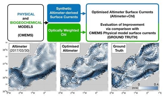
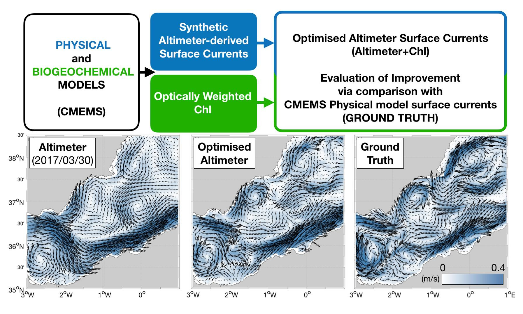
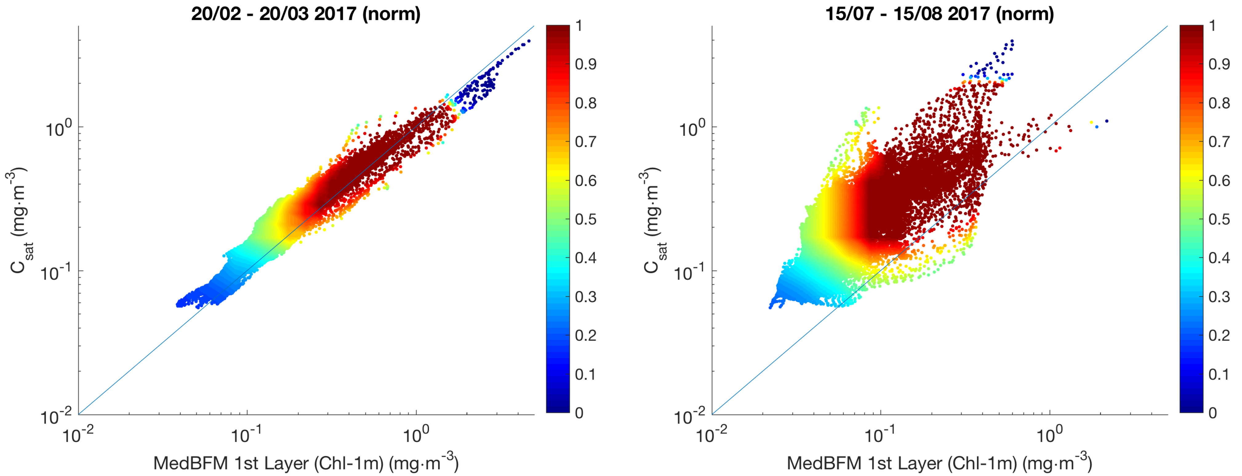
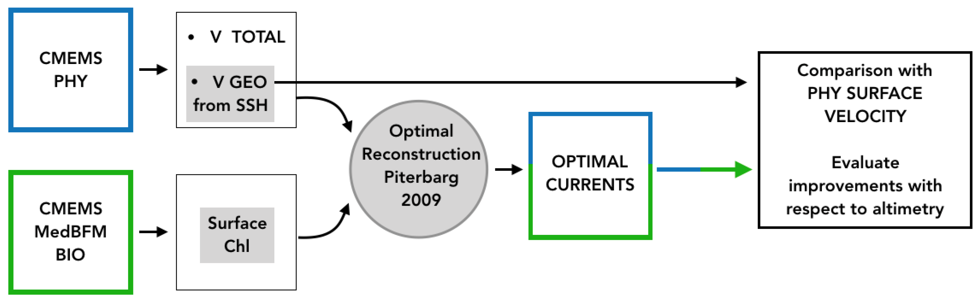
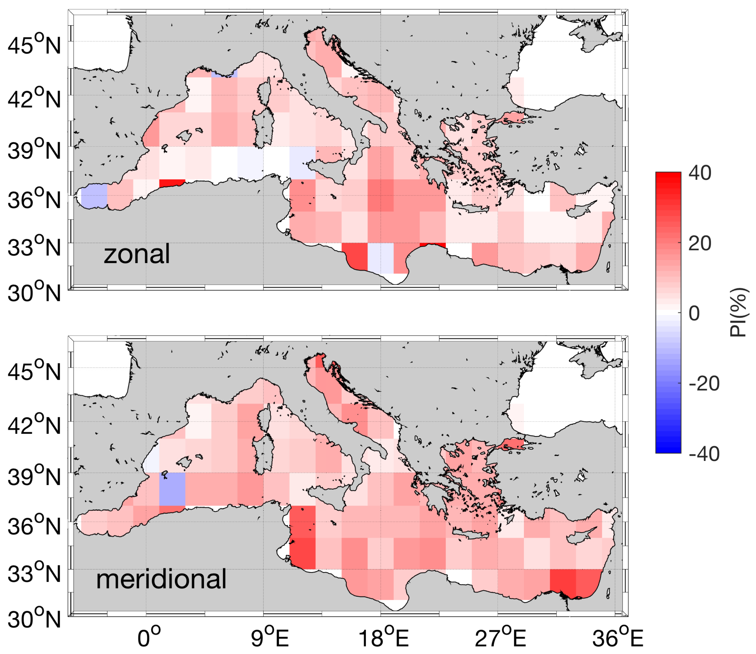
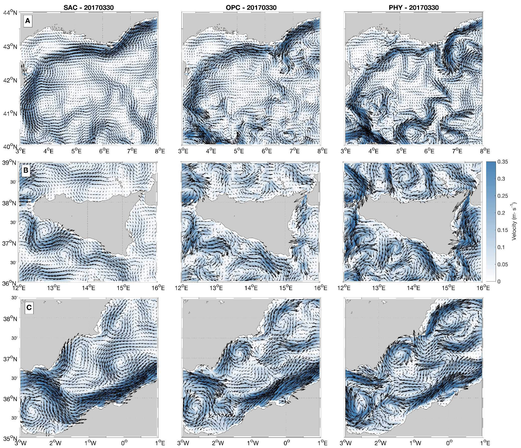
Measuring the ocean surface currents at high spatio-temporal resolutions is crucial for scientific and socio-economic applications. Since the early 1990s, the synoptic and global-scale monitoring of the ocean surface currents has been provided by constellations of radar altimeters. By construction, altimeter constellations provide only the geostrophic component of the marine surface currents. In addition, given the effective spatial-temporal resolution of the altimeter-derived products (O (100 km) and O (10 days), respectively), only the largest ocean mesoscale features can be resolved. In order to enhance the altimeter system capabilities, we propose a synergistic use of high resolution sea surface Chlorophyll observations (Chl) and altimeter-derived currents’ estimates. The study is focused on the Mediterranean Sea, where the most energetic signals are found at spatio-temporal scales up to 10 km and a few days. The proposed method allows for inferring the marine surface currents from the evolution of the Chl field, relying on altimeter-derived currents as a first-guess estimate. The feasibility of this approach is tested through an Observing System Simulation Experiment, starting from biogeochemical model outputs distributed by the European Copernicus Marine Service. Statistical analyses based on the 2017 daily data showed that our approach can improve the altimeter-derived currents accuracy up to 50%, also enhancing their effective spatial resolution up to 30 km. Moreover, the retrieved currents exhibit larger temporal variability than the altimeter estimates over annual to weekly timescales. Our method is mainly limited to areas/time periods where/when Chl gradients are larger and are modulated by the marine currents’ advection. Its application is thus more efficient when the surface Chl evolution is not dominated by the biological activity, mostly occurring in the mid-February to mid-March time window in the Mediterranean Sea. Preliminary tests on the method applicability to satellite-derived data are also presented and discussed.
Keywords: ocean currents; altimetry; earth observations synergy; ocean colour ocean currents; altimetry; earth observations synergy; ocean colour
Graphical Abstract