Review

Remote Sensing Support for the Gain-Loss Approach for Greenhouse Gas Inventories

by
Ronald E. McRoberts
1,2,*,
Erik Næsset
3,
Christophe Sannier
4,
Stephen V. Stehman
5 and
Erkki O. Tomppo
6,7
1
Department of Forest Resources, University of Minnesota, Saint Paul, MN 55108, USA
2
Raspberry Ridge Analytics, 15111 Elmcrest Avenue North, Hugo, MN 55038, USA
3
Faculty of Environmental Sciences and Natural Resource Management, Norwegian University of Life Sciences, P.O. Box 5003, NO-1432 Ås, Norway
4
Systèmes d’Information à Référence Spatiale, Parc de la Cimaise, 59650 Villeneuve d’Ascq, France
5
Department of Sustainable Resources Management, State University of New York, College of Environmental Science and Forestry, Syracuse, NY 13210, USA
6
Department of Electronics and Nanoengineering, School of Electrical Engineering, Aalto University, P.O. Box 11000, 00076 Aalto, Finland
7
Department of Forest Sciences, University of Helsinki, Latokartanonkaari 7, P.O. Box 27, FI-00014 Helsinki, Finland
*
Author to whom correspondence should be addressed.
Remote Sens. 2020, 12(11), 1891; https://doi.org/10.3390/rs12111891
Submission received: 21 April 2020 / Revised: 6 June 2020 / Accepted: 8 June 2020 / Published: 11 June 2020
(This article belongs to the Special Issue Advances in Remote Sensing for Global Forest Monitoring)

Abstract

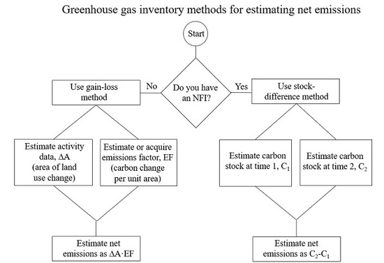
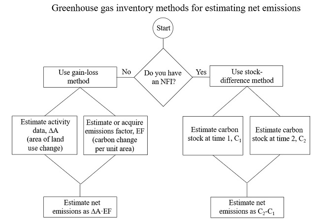
For tropical countries that do not have extensive ground sampling programs such as national forest inventories, the gain-loss approach for greenhouse gas inventories is often used. With the gain-loss approach, emissions and removals are estimated as the product of activity data defined as the areas of human-caused emissions and removals and emissions factors defined as the per unit area responses of carbon stocks for those activities. Remotely sensed imagery and remote sensing-based land use and land use change maps have emerged as crucial information sources for facilitating the statistically rigorous estimation of activity data. Similarly, remote sensing-based biomass maps have been used as sources of auxiliary data for enhancing estimates of emissions and removals factors and as sources of biomass data for remote and inaccessible regions. The current status of statistically rigorous methods for combining ground and remotely sensed data that comply with the good practice guidelines for greenhouse gas inventories of the Intergovernmental Panel on Climate Change is reviewed.
Keywords: statistical estimator; IPCC good practice guidelines; activity data; emissions factor; removals factor statistical estimator; IPCC good practice guidelines; activity data; emissions factor; removals factor
Graphical Abstract