

Geomatics, Volume 5, Issue 2 (June 2025) – 11 articles
Cover Story (view full-size image):
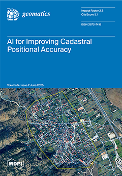
Accurate geospatial data are fundamental for secure land rights and effective land administration. However, many systems struggle with spatial inaccuracies, especially when integrating diverse data sources such as modern surveys and historical maps. This study introduces a novel, AI-driven method using unsupervised clustering to automatically detect these complex errors. Analyzing two real-world Greek datasets, our approach successfully identified and characterized distinct error patterns: a systematic error across a large, ring-shaped area in the first and localized gross errors from historical map digitization in the second. This automated identification provides actionable insights for targeted, cost-effective cadastral renewal, offering a powerful tool for building smarter, more efficient systems aligned with fit-for-purpose principles. View this paper
- Issues are regarded as officially published after their release is announced to the table of contents alert mailing list.
- You may sign up for e-mail alerts to receive table of contents of newly released issues.
- PDF is the official format for papers published in both, html and pdf forms. To view the papers in pdf format, click on the "PDF Full-text" link, and use the free Adobe Reader to open them.
Previous Issue
Next Issue