Article

Earthwork Volume Calculation, 3D Model Generation, and Comparative Evaluation Using Vertical and High-Oblique Images Acquired by Unmanned Aerial Vehicles


1
Department of Spatial Information, Kyungpook National University, Daegu 41566, Korea
2
Department of Convergence and Fusion System Engineering, Kyungpook National University, Sangju 37224, Korea
*
Author to whom correspondence should be addressed.
Aerospace 2022, 9(10), 606; https://doi.org/10.3390/aerospace9100606

Submission received: 23 August 2022 / Revised: 3 October 2022 / Accepted: 12 October 2022 / Published: 15 October 2022
(This article belongs to the Special Issue Applications of Drones)

Abstract

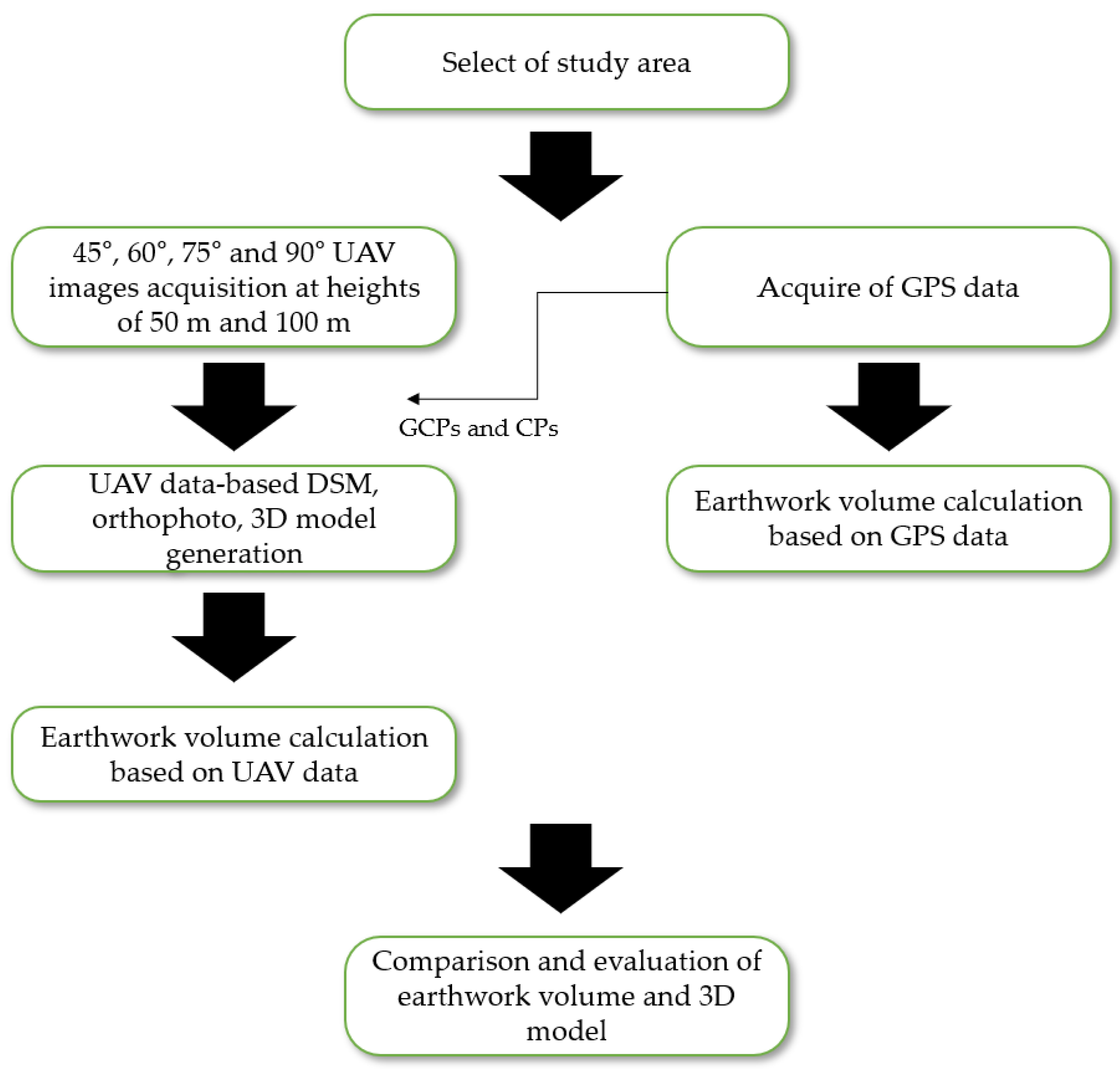
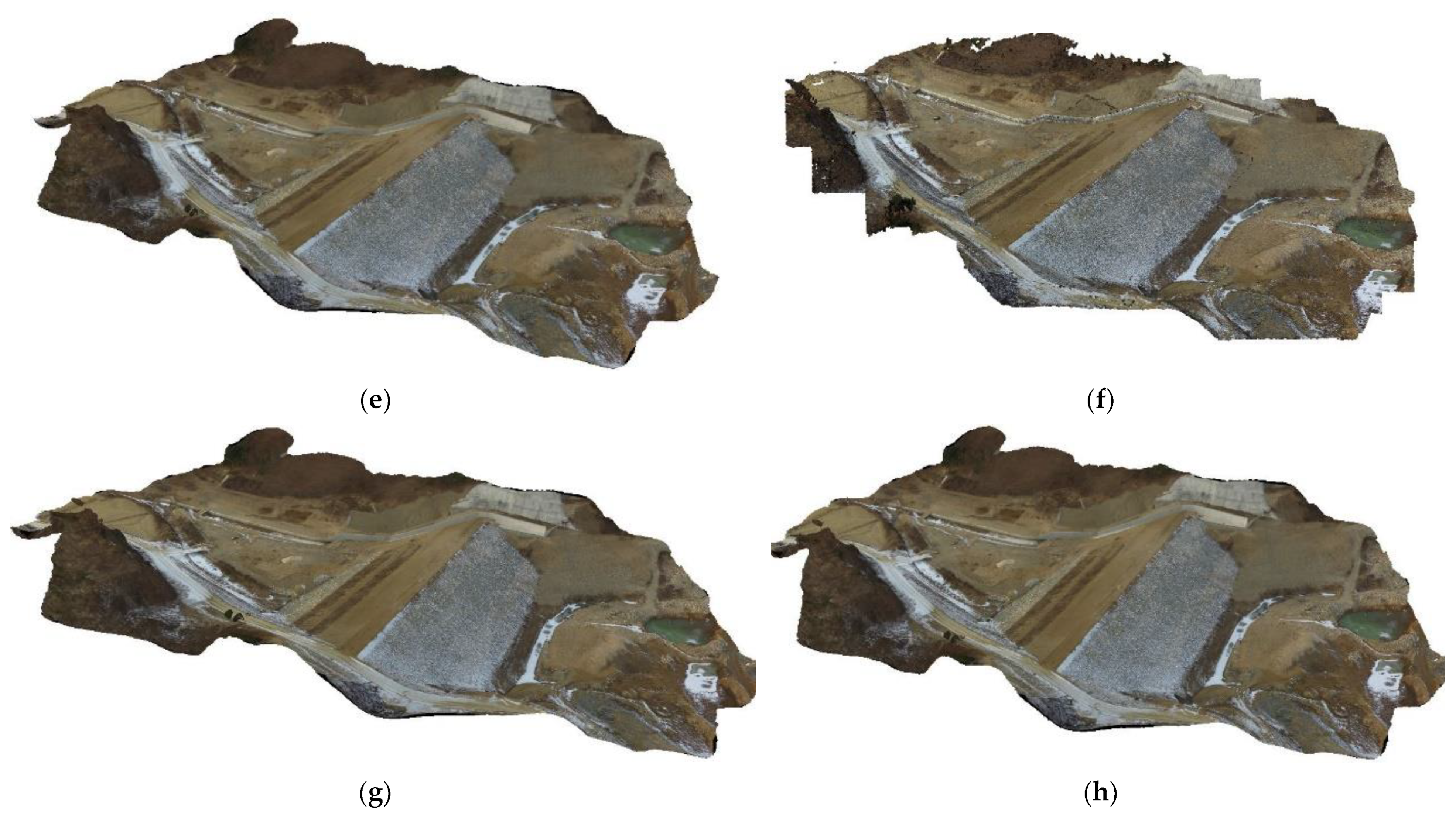
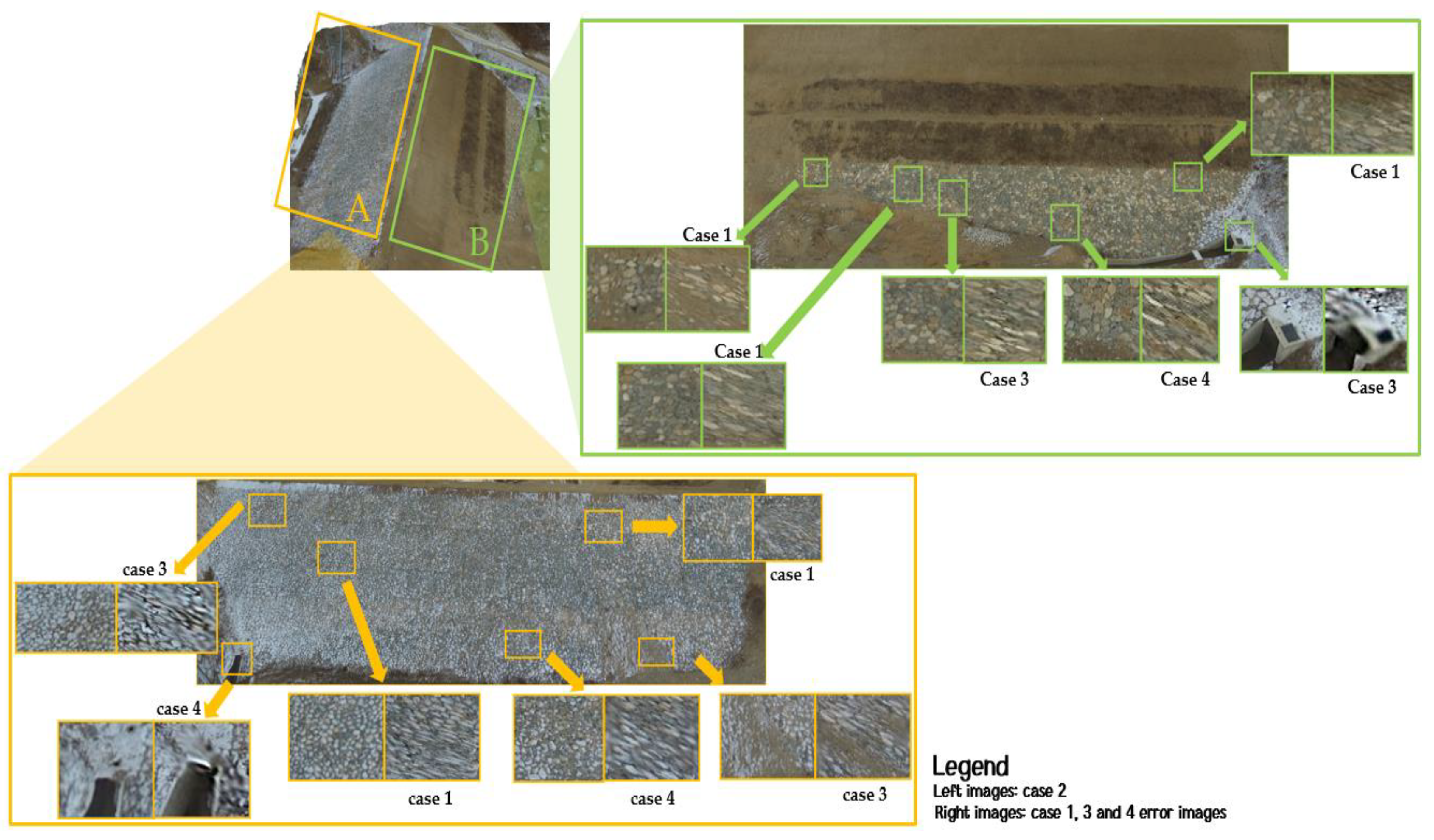
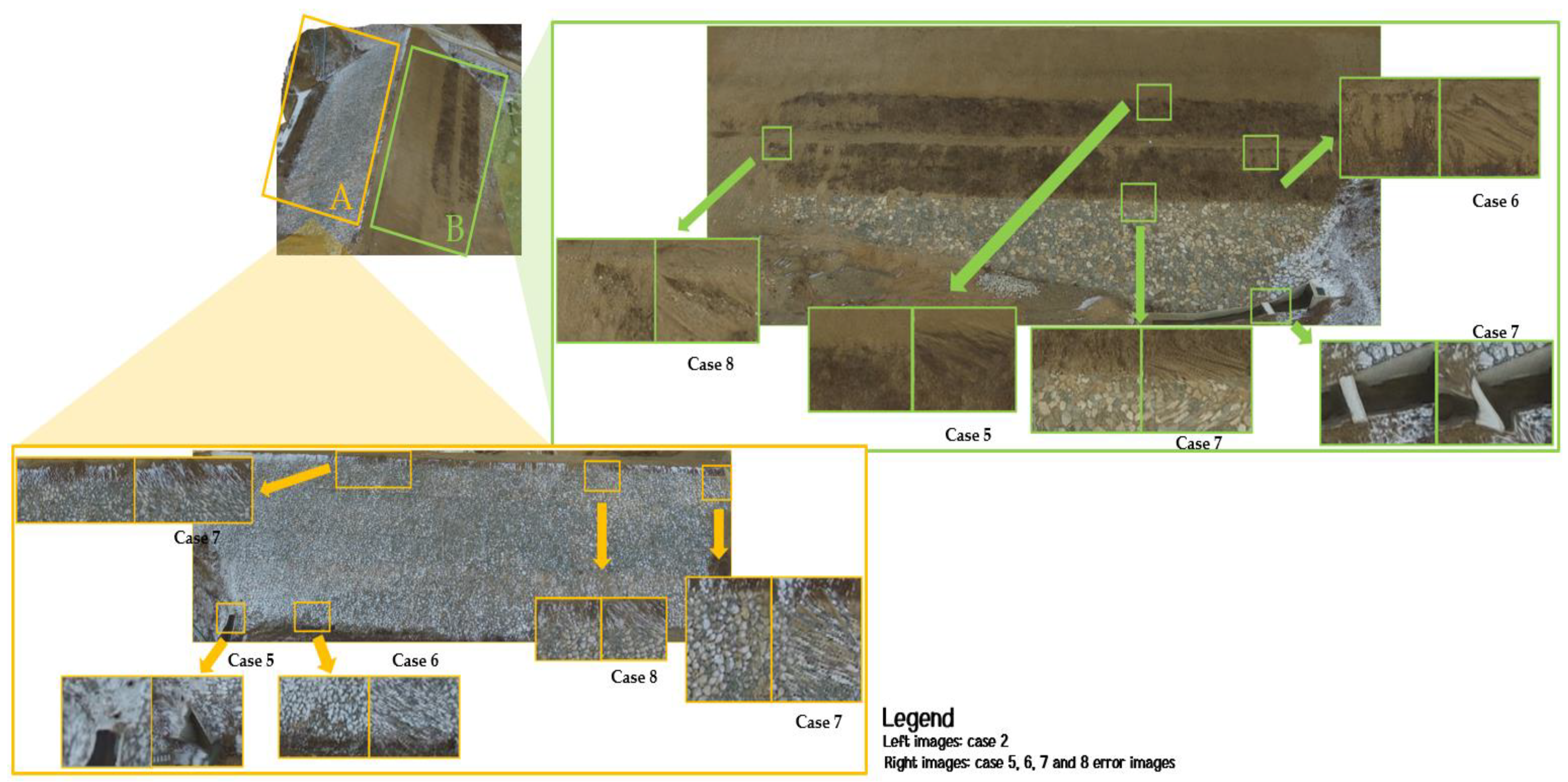
In civil engineering and building construction, the earthwork volume calculation is one of the most important factors in the design and construction stages; therefore, an accurate calculation is necessary. Moreover, because managing earthworks is highly important, in this study, a three-dimensional (3D) model for earthwork calculation and management was performed using an unmanned aerial vehicle (UAV) and an RGB camera. Vertical and high-oblique images (45°, 60°, and 75°) were acquired at 50 and 100 m heights for accurate earthwork calculations and a 3D model, and data were generated by dividing the images into eight cases. Cases 1–4 were images acquired from a height of 50 m, and cases 5–8 were images acquired from a height of 100 m. (case 1: 90°, case 2: 90° + 45°, case 3: 90° + 60°, case 4: 90° + 75°, case 5: 90°, case 6: 90° + 45°, case 7: 90° + 60°, case 8: 90° + 75°). Three evaluations were performed on the data. First, the accuracy was evaluated through checkpoints for the orthophoto; second, the earthwork volumes calculated via a global positioning system and UAV were compared; finally, the 3D model was evaluated. Case 2, which showed the lowest root mean square error in the orthophoto accuracy evaluation, was the most accurate. Case 2 was the most accurate in the earthwork volume evaluation and 3D model compared to other cases. Through this study, the best results were obtained when using a vertical image and a high-oblique image of 40 to 50° when generating a 3D model for earthwork volume calculation and management. In addition, if the UAV is not affected by obstacles, it is better to shoot at about 50 m or less than to shoot the UAV height too high.
Keywords: UAV; earthwork volume; high-oblique image; vertical image; 3D model UAV; earthwork volume; high-oblique image; vertical image; 3D model