Article

Enhancing the Accuracy of Land Cover Classification by Airborne LiDAR Data and WorldView-2 Satellite Imagery


1
School of Defense Science, Chung Cheng Institute of Technology, National Defense University, Taoyuan 33551, Taiwan
2
Department of Environmental Information and Engineering, Chung Cheng Institute of Technology, National Defense University, Taoyuan 33551, Taiwan
3
Department of History and Geography, University of Taipei, Taipei 100234, Taiwan
*
Author to whom correspondence should be addressed.
ISPRS Int. J. Geo-Inf. 2022, 11(7), 391; https://doi.org/10.3390/ijgi11070391
Submission received: 20 April 2022 / Revised: 4 July 2022 / Accepted: 8 July 2022 / Published: 12 July 2022
(This article belongs to the Special Issue Integrating GIS and Remote Sensing in Soil Mapping and Modeling)

Abstract

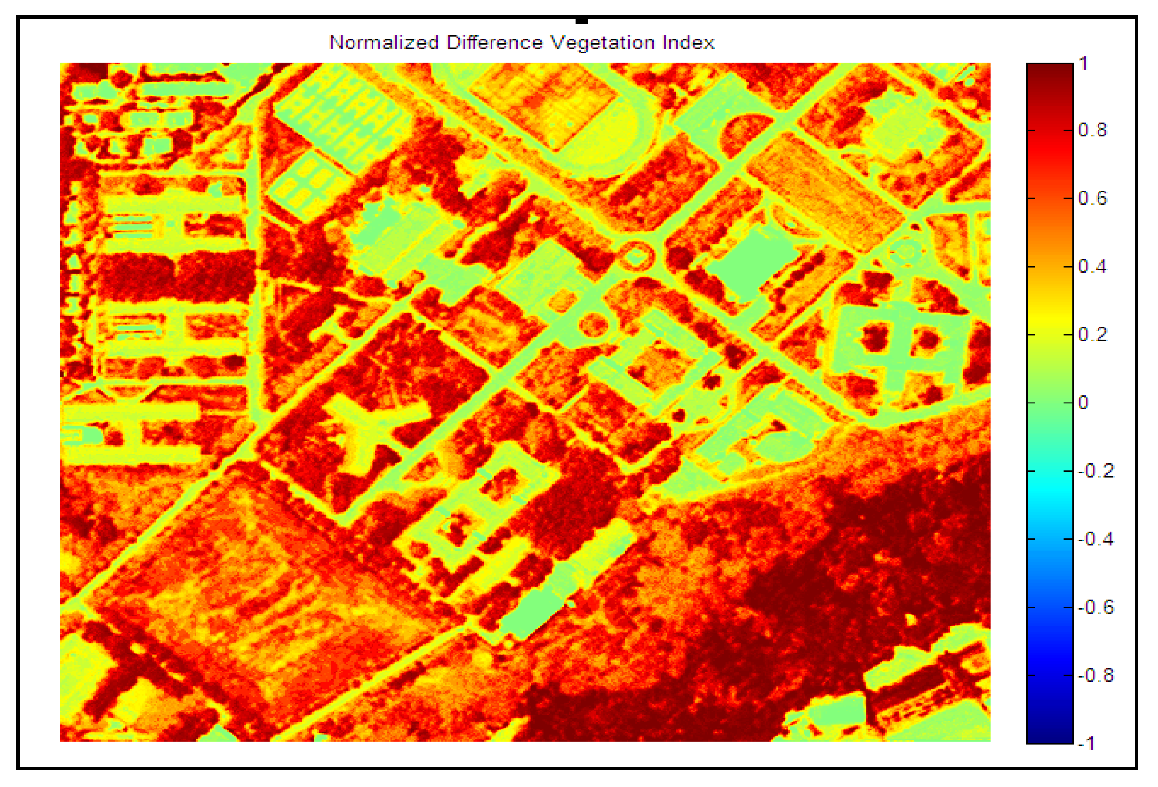
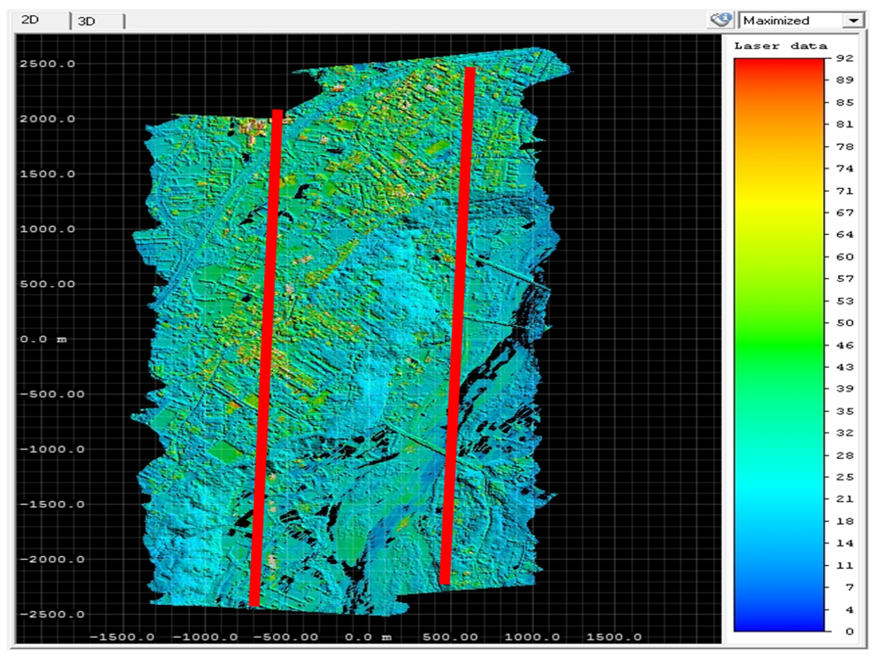
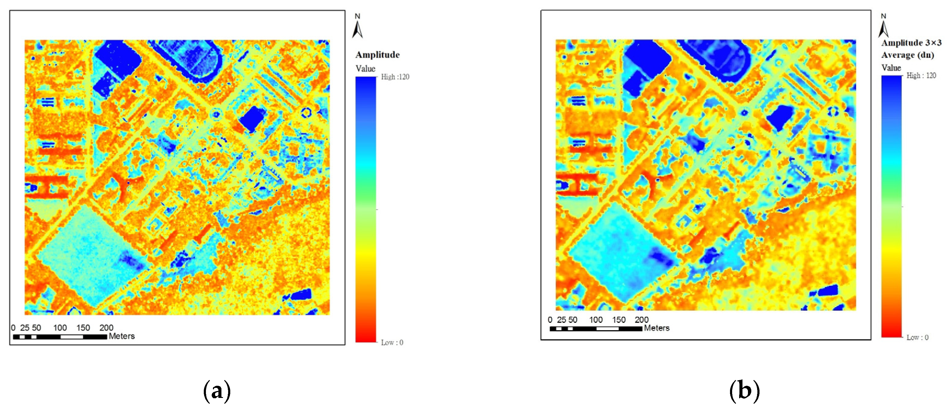
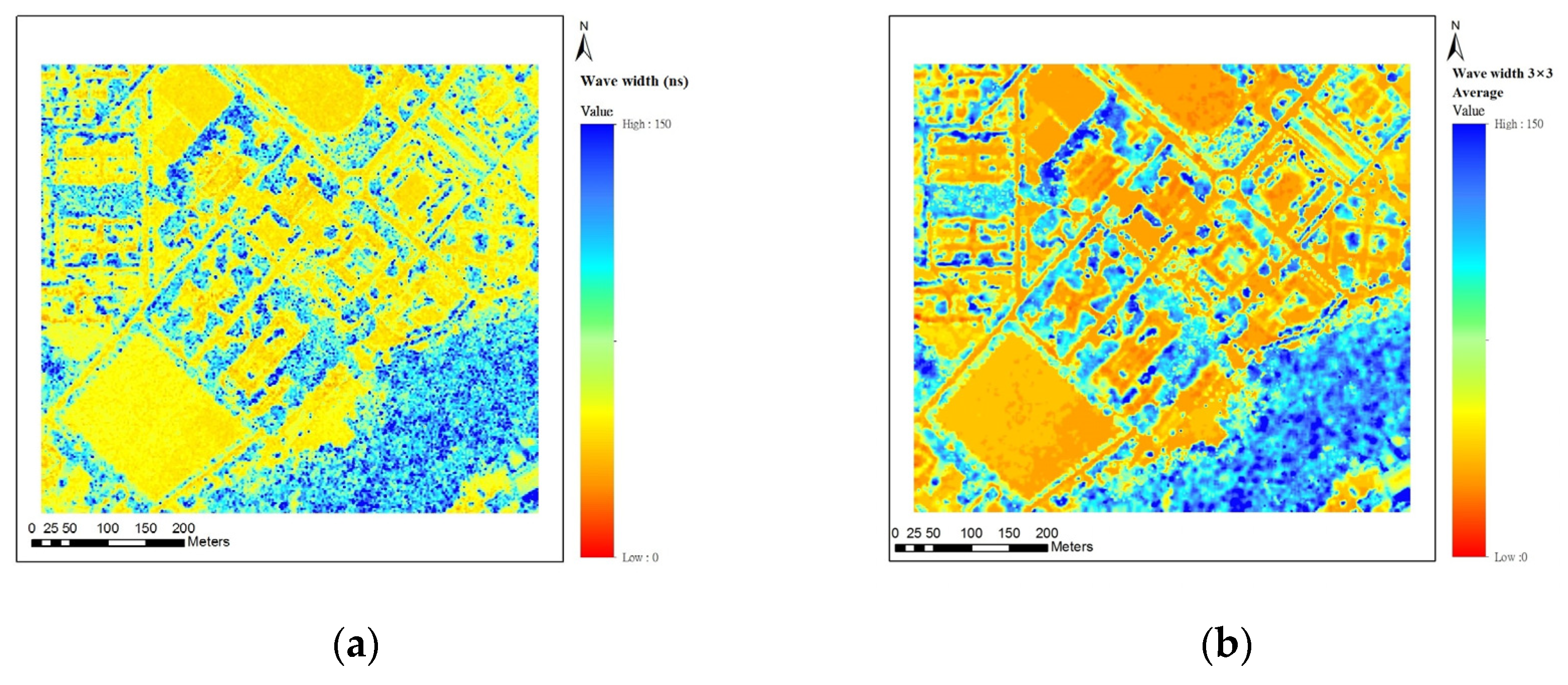
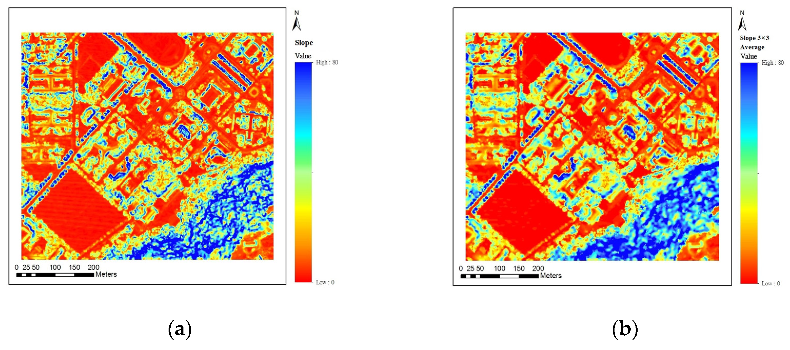
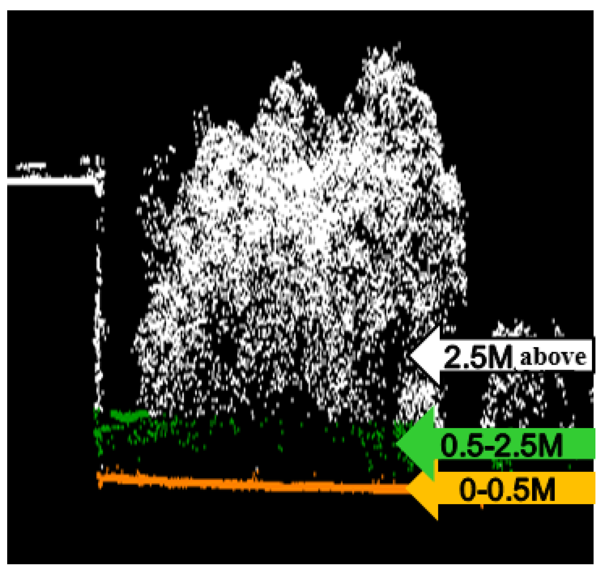
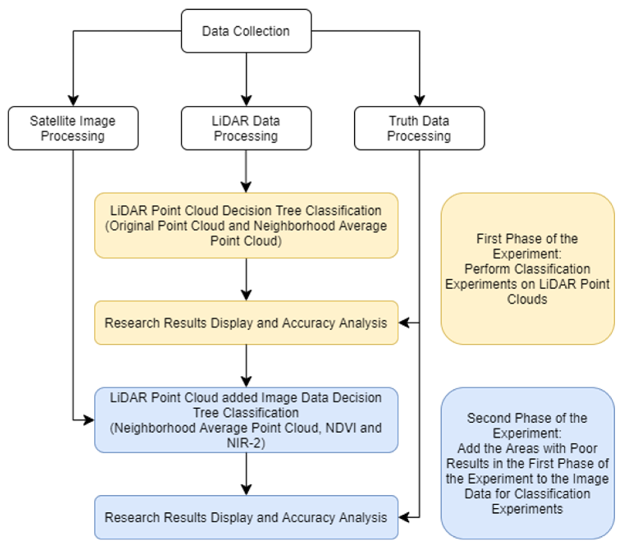
The Full Waveform LiDAR system has been developed and used commercially all over the world. It acts to record the complete time of a laser pulse and has a high-resolution sampling interval compared to the traditional multiple-echo LiDAR, which only provides signals within a single target range. This study area mainly collects data from Riegl LMS-Q680i Full Waveform LiDAR and WorldView-2 satellite imagery, which focuses on buildings, vegetation, grassland, asphalt roads and other ground types as the surface objects. The amplitude and pulse width are selected as waveform basic parameters. The parameter of topography is slope, and the height classification parameters of the test ground are 0–0.5 m, 0.5–2.5 m, and 2.5 m. To eliminate noise, the neighborhood average is applied on the LiDAR parameter values and analyzed as the classification accuracy comparison. This survey uses Decision Tree as the classification method. Comparing the data between neighborhood average and non-neighborhood average, the data classification accuracy improves by 7%, and Kappa improves by 5.92%. NDVI image data are utilized to distinguish the artificial from natural ground. The results show that the neighborhood average with previous data can improve the classification accuracy by 5%, and Kappa improves by 4.25%. By adding NIR-2 of WorldView-2 satellite imagery to the neighborhood average analysis, the overall classification accuracy is improved by 2%, and the Kappa value by 1.21%. This article shows that utilizing the analysis of neighborhood average and image parameters can effectively improve the classification accuracy of land covers.
Keywords: LiDAR; full waveform; decision tree; accuracy LiDAR; full waveform; decision tree; accuracy