Article

Anthropic Action on Historical Shoreline Changes and Future Estimates Using GIS: Guadarmar Del Segura (Spain)


1
Escuela Técnica Superior de Ingenieros de Minas y Energía, Department Ingeniería Geológica y Minera, Universidad Politécnica de Madrid, 28220 Madrid, Spain
2
Euroconsult Nuevas Tecnologías, 28703 Madrid, Spain
3
Escuela Técnica Superior de Ingenieros Informáticos, Universidad Politécnica de Madrid, 28660 Madrid, Spain
4
Department of Environment, Land and Infrastructure Engineering (DIATI), Politecnico di Torino, 10129 Turin, Italy
*
Author to whom correspondence should be addressed.
Appl. Sci. 2023, 13(17), 9792; https://doi.org/10.3390/app13179792
Submission received: 2 August 2023 / Revised: 18 August 2023 / Accepted: 28 August 2023 / Published: 30 August 2023
(This article belongs to the Special Issue Geohazards: Risk Assessment, Mitigation and Prevention)

Abstract

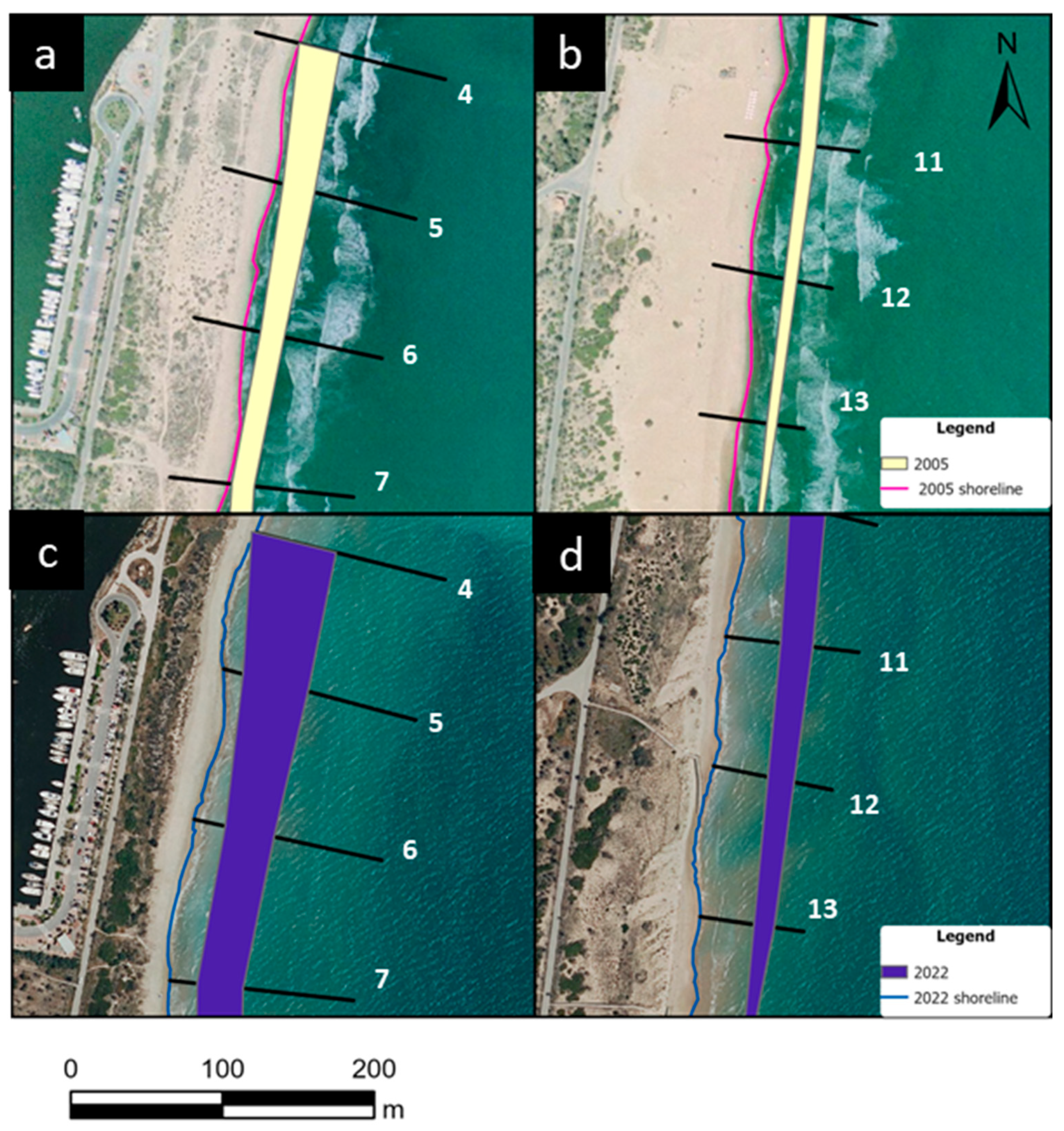
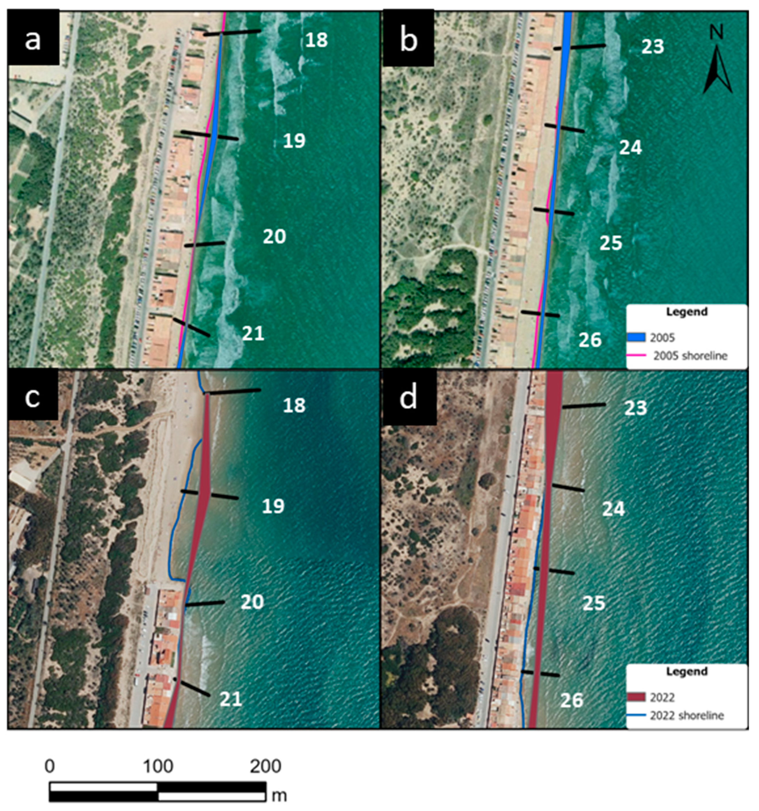
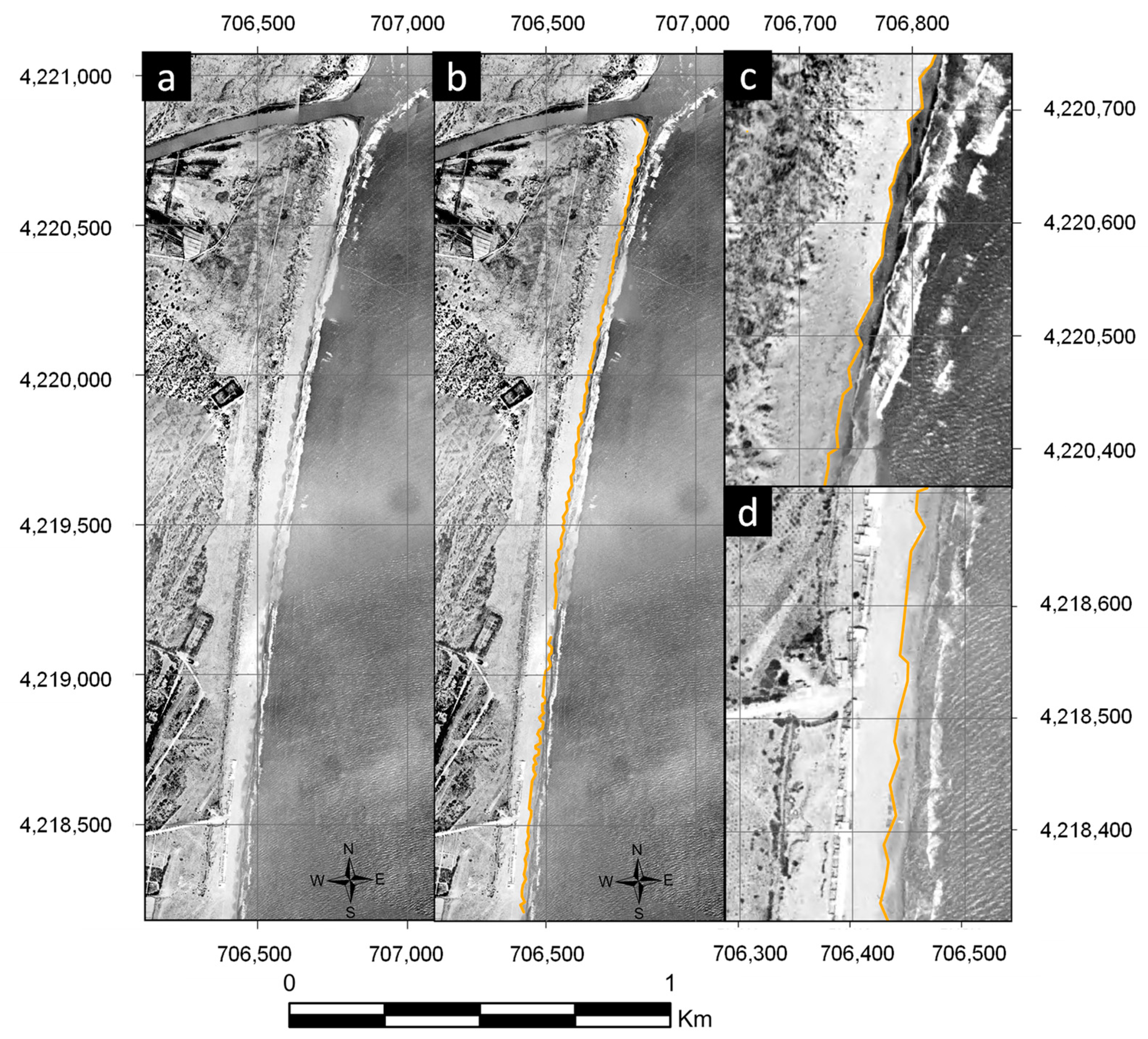
A good understanding of historical change rates is a key requirement for effective coastal zone management and reliable predictions of shoreline evolution. Historical shoreline erosion for the coast of Guardamar del Segura (Alicante, Spain) is analyzed based on aerial photographs dating from 1930 to 2022 using the Digital Shoreline Analysis System (DSAS). This area is of special interest because the construction of a breakwater in the 1990s, which channels the mouth of the Segura River, has caused a change in coastal behavior. The prediction of future shorelines is conducted up to the year 2040 using two models based on data analysis techniques: the extrapolation of historical data (including the uncertainty of the historical measurements) and the Bruun-type model (considering the effect of sea level rises). The extrapolation of the natural erosion of the area up to 1989 is also compared with the reality, already affected by anthropic actions, in the years 2005 and 2022. The construction of the breakwater has accelerated the erosion along the coast downstream of this infrastructure by about 260%, endangering several houses that are located on the beach itself. The estimation models predict transects with erosions ranging from centimeters (±70 cm) to tens of meters (±30 m). However, both models are often overlapping, which gives a band where the shoreline may be thought to be in the future. The extrapolation of erosion up to 1989, and its subsequent comparison, shows that in most of the study areas, anthropic actions have increased erosion, reaching values of more than 35 m of shoreline loss. The effect of anthropic actions on the coast is also analyzed on the housing on the beach of Babilonia, which has lost around 17% of its built-up area in 40 years. This work demonstrates the importance of historical analysis and predictions before making any significant changes in coastal areas to develop sustainable plans for coastal area management.
Keywords: climate change; beach erosion; dune cliff; land management; data analysis climate change; beach erosion; dune cliff; land management; data analysis