Article

Spatiotemporal Variation of Rural Vulnerability and Its Clustering Model in Guizhou Province

1
School of Public Administration, Guizhou University, Guiyang 550025, China
2
Department of ASEAN Research Institute, Guizhou University, Guiyang 550025, China
*
Author to whom correspondence should be addressed.
Land 2023, 12(7), 1354; https://doi.org/10.3390/land12071354
Submission received: 19 May 2023 / Revised: 2 July 2023 / Accepted: 5 July 2023 / Published: 6 July 2023
(This article belongs to the Special Issue Celebrating the 130th Anniversary of Wuhan University on Land Science)

Abstract

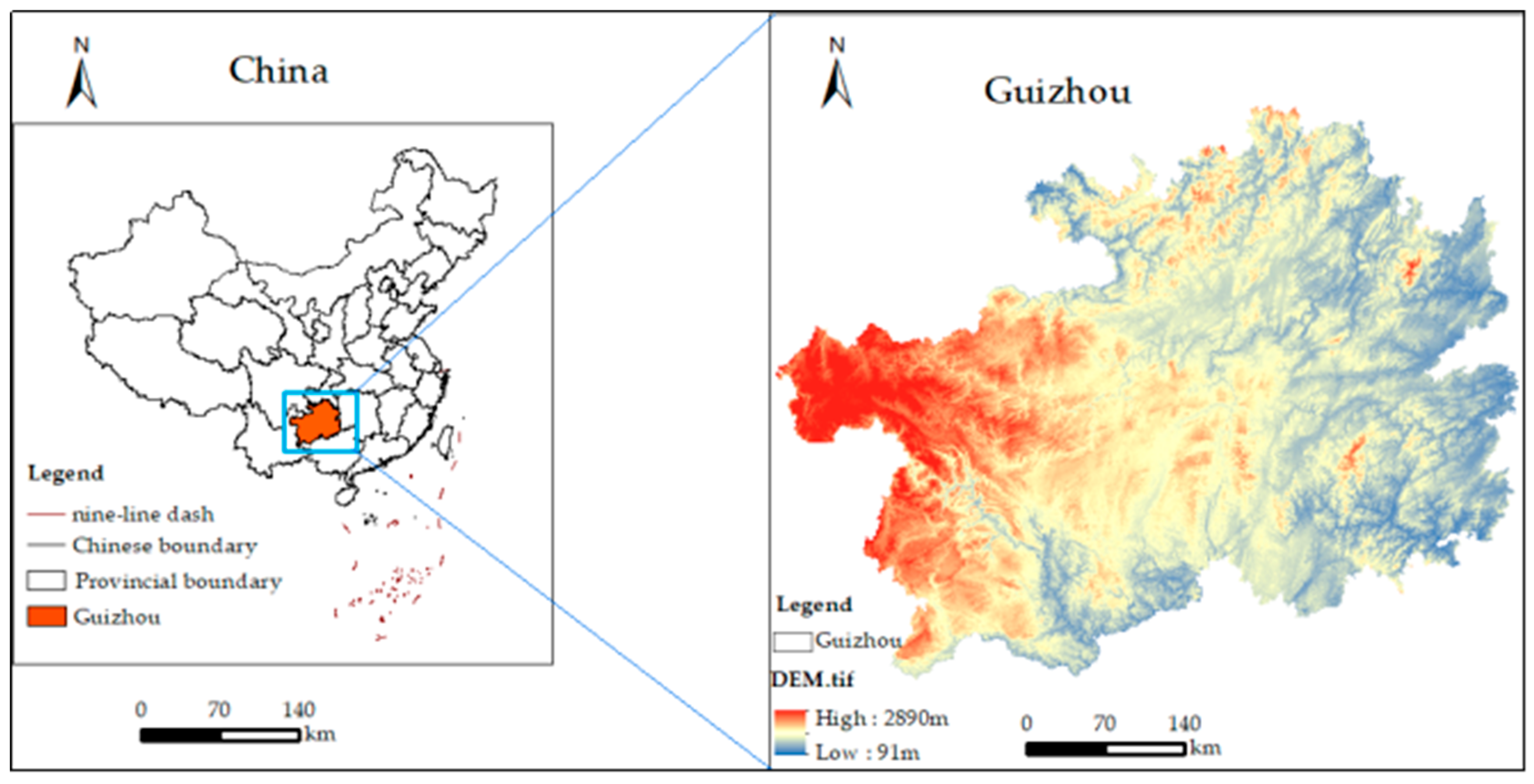
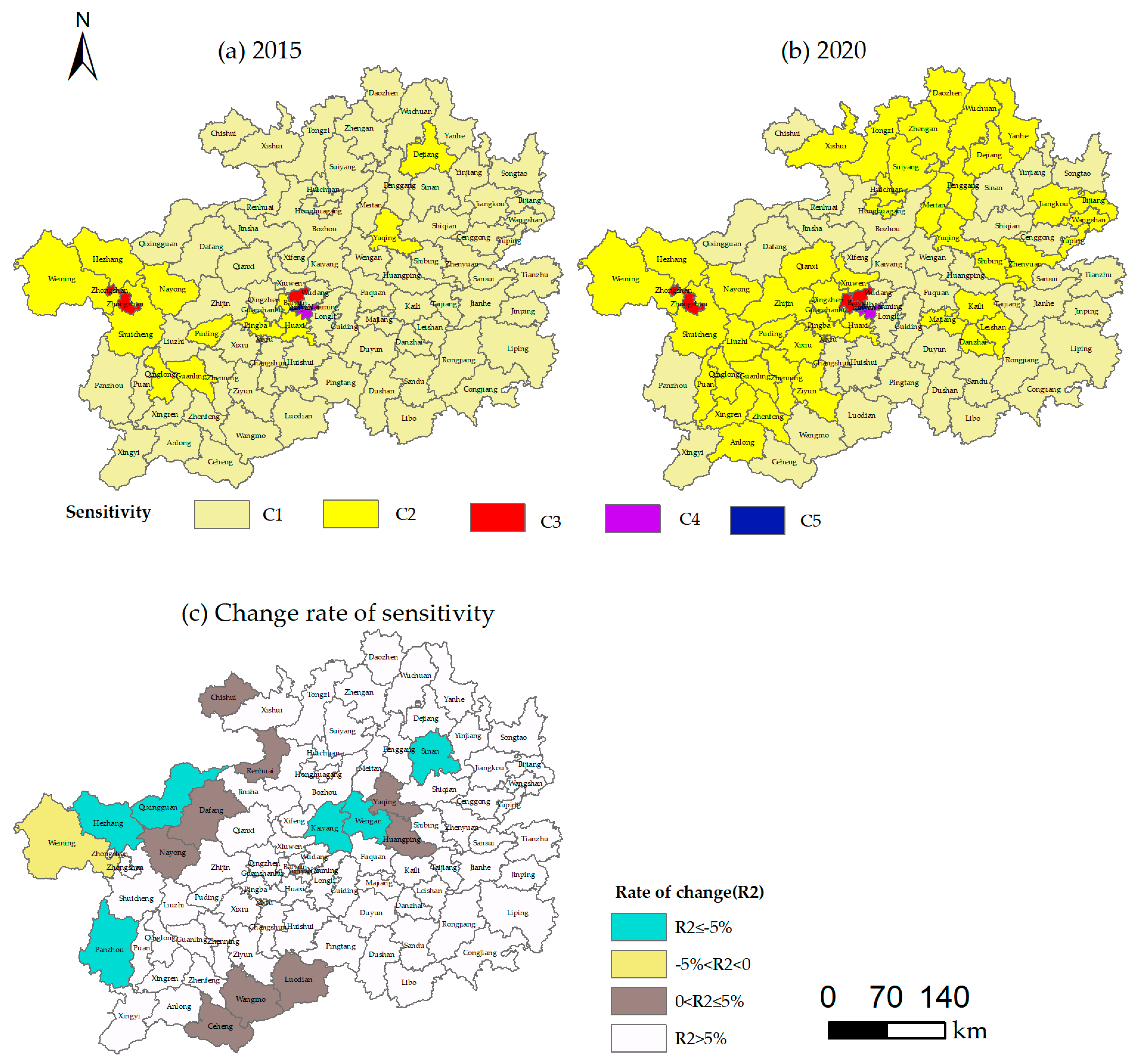
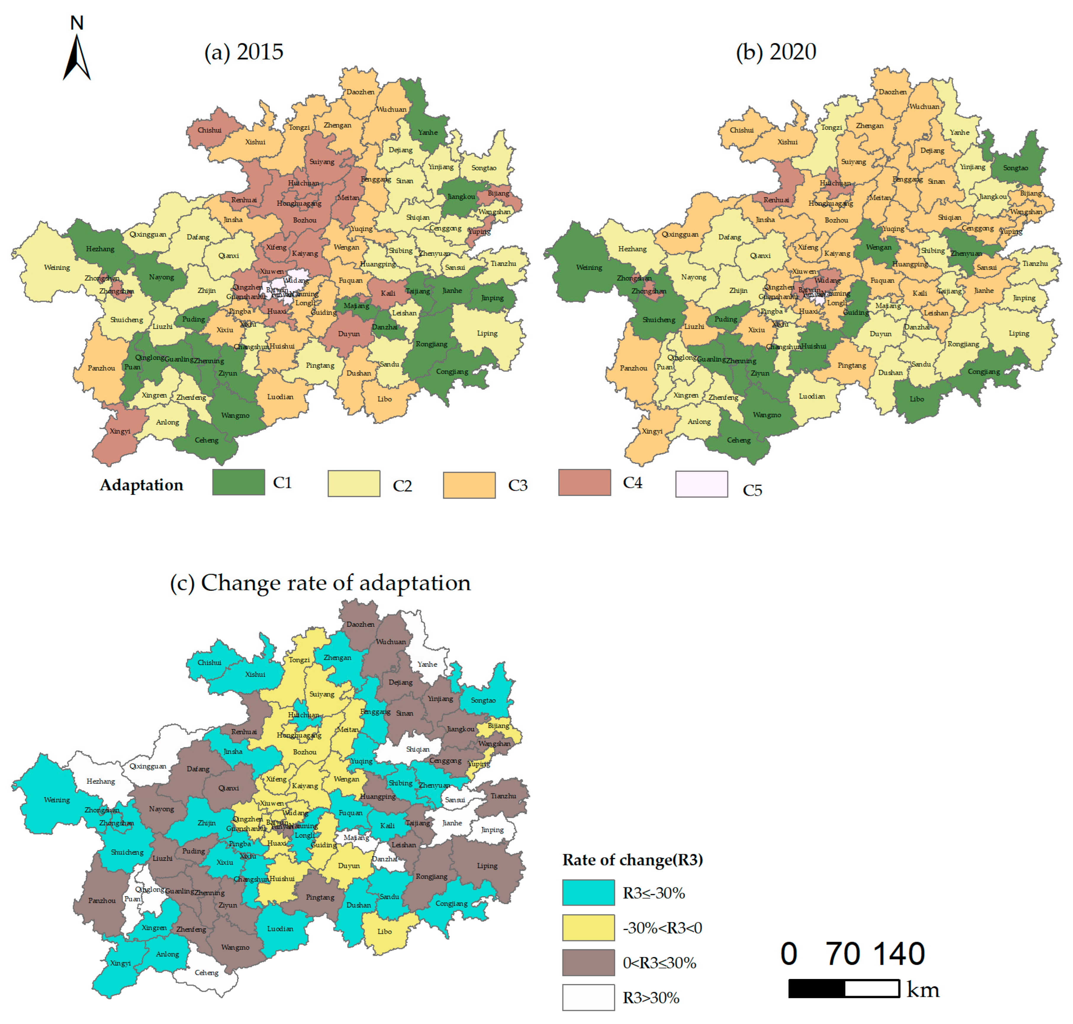
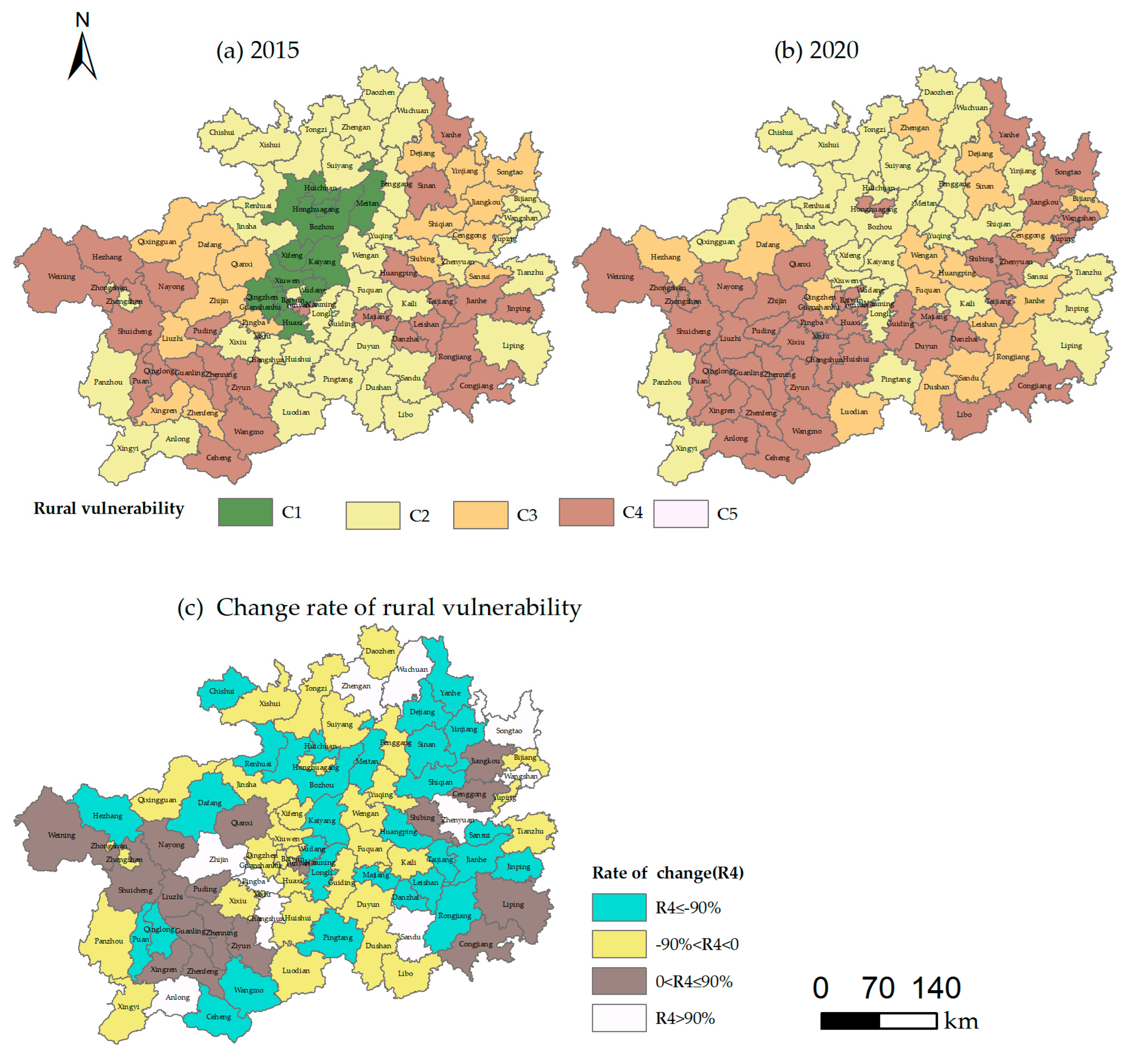
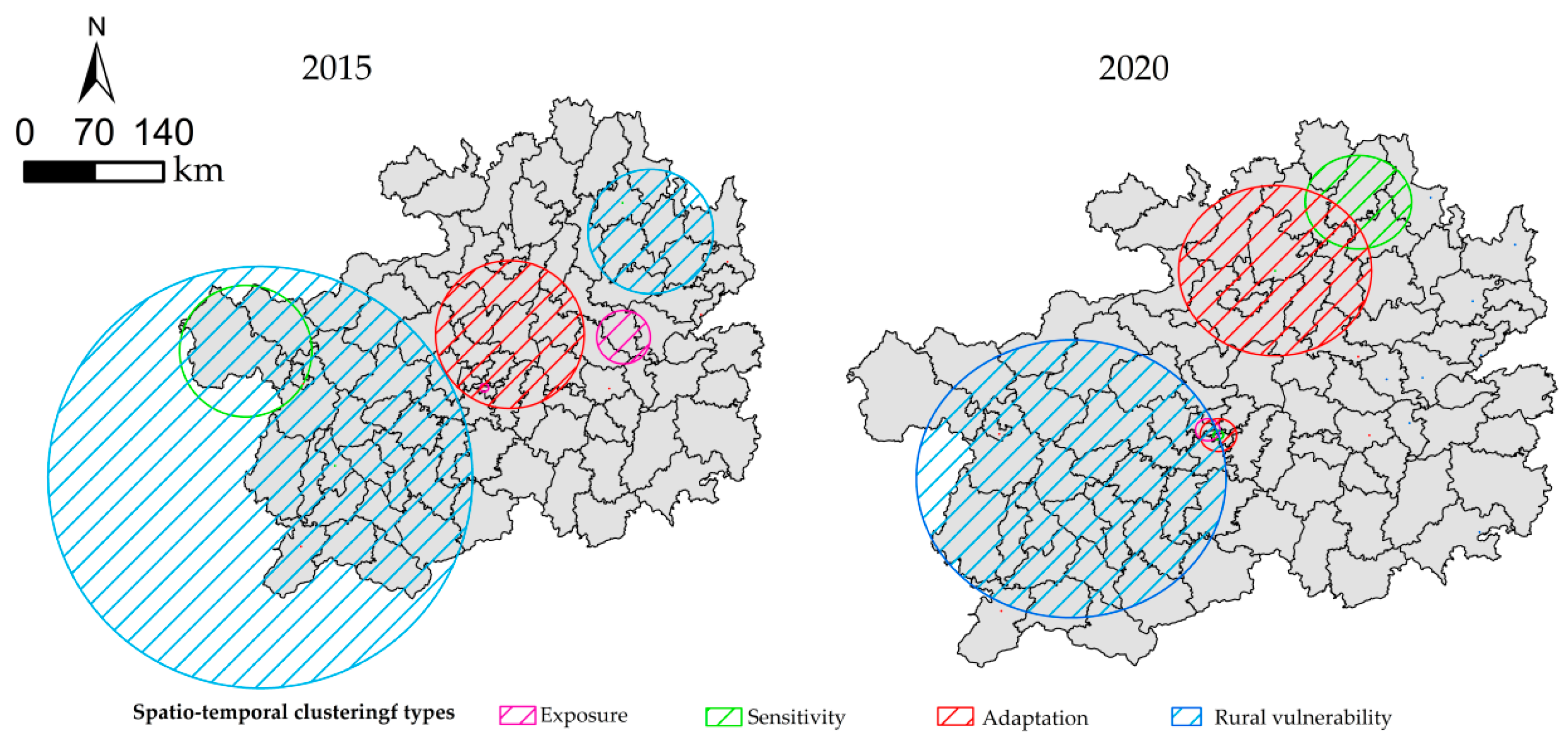
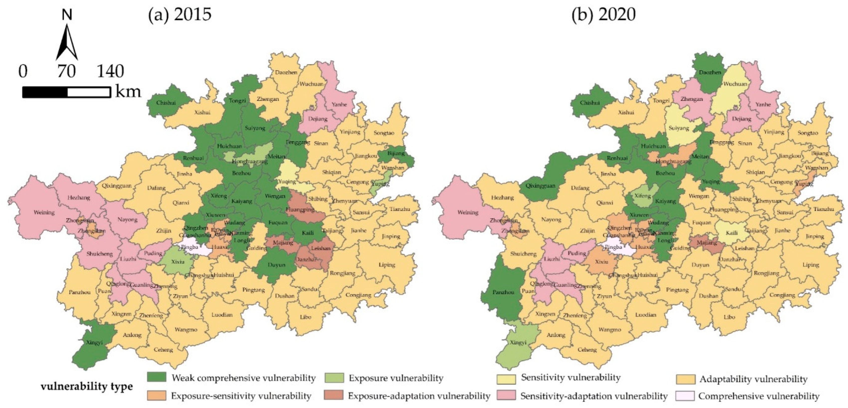
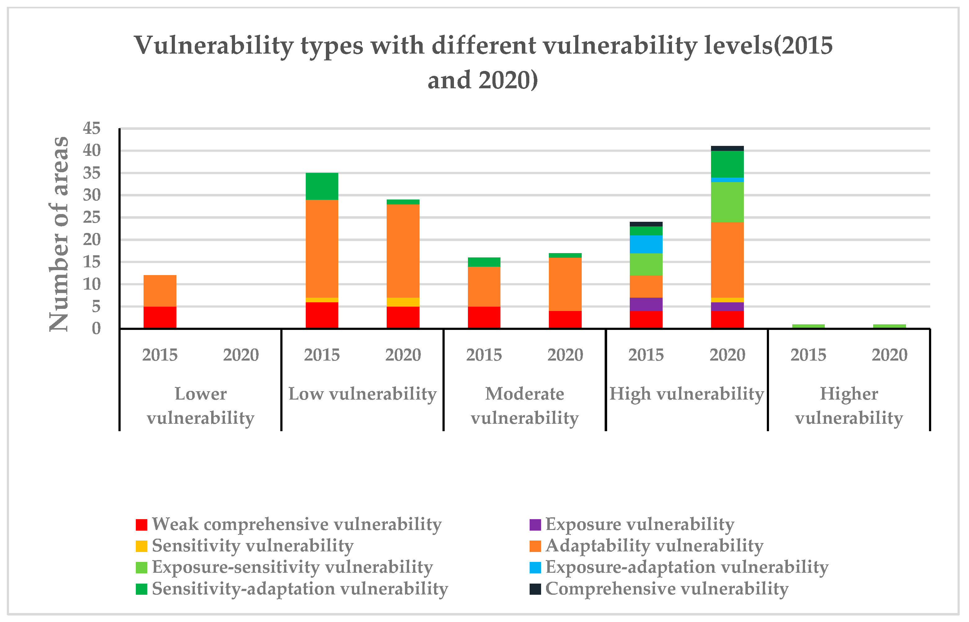
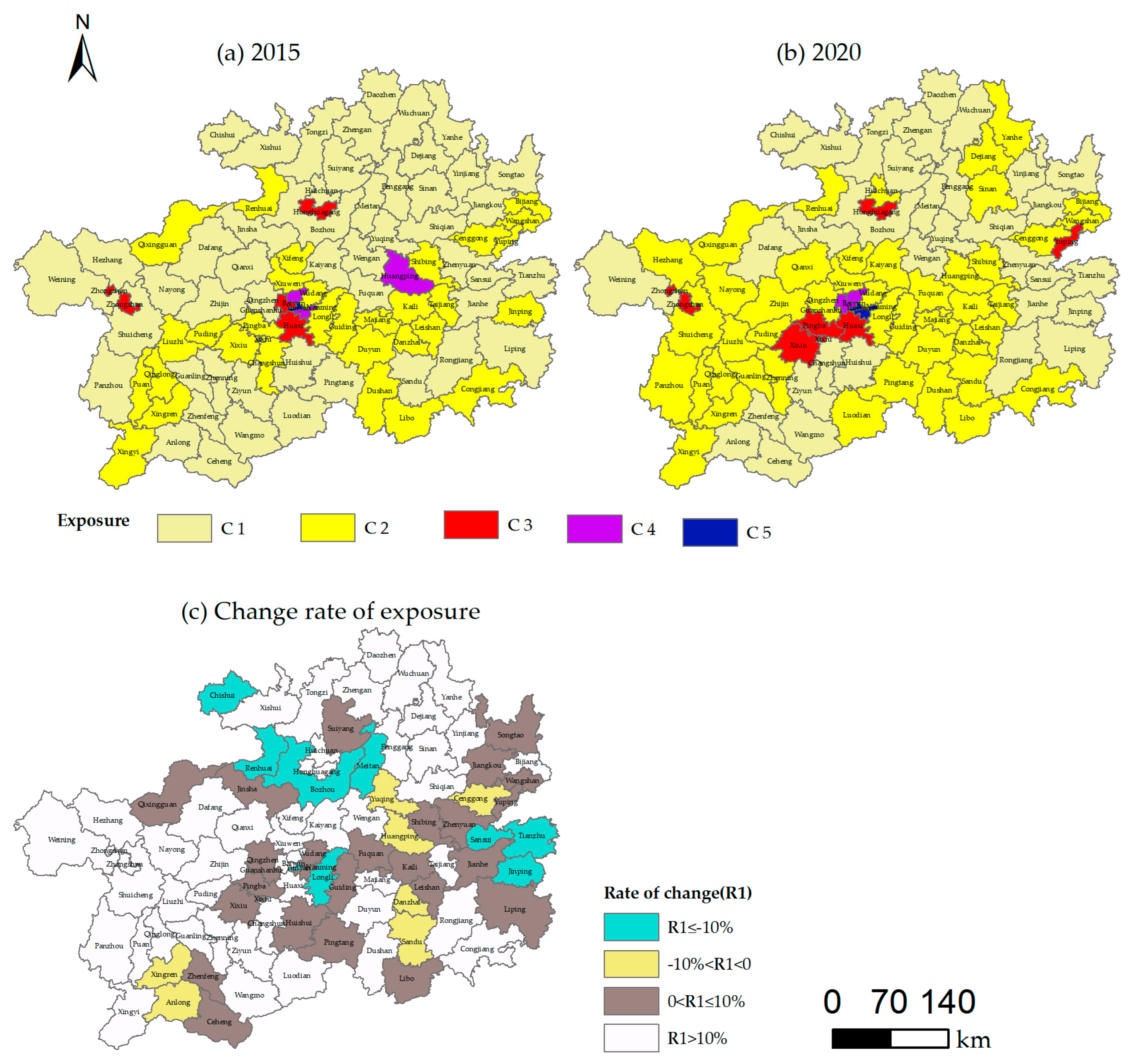
The vulnerability of China’s rural system is becoming increasingly obvious due to the multiple pressures of geological conditions and human interference. This study selected Guizhou Province to measure the degree of vulnerability and determine a rural system’s temporal and spatial characteristics. We select the county as the unit, build the vulnerability assessment of a rural system based on the three dimensions of exposure, sensitivity, and adaptability, and employ the combination weighting method. The final development indicator of the rural vulnerability measurement model was obtained using the Technique for Order Preference by Similarity to the Ideal Solution method. Further, SatScan v10.1 software was used for spatiotemporal scanning statistical analysis, and its clustering pattern was analyzed. Finally, visual analysis was conducted using ArcGIS 10.7 software. The results showed that exposure and sensitivity have an increasing fluctuation trend, while adaptability has a decreasing trend. The combined effect resulted in an increasing trend of vulnerability. The mean values of exposure, sensitivity, adaptation, and rural vulnerability in Yunyan are 0.906, 0.894, 0.772, and 1.028 higher than those in Nanming, i.e., 0.417, 0.426, 0.687, and 0.262, respectively. The vulnerability of the rural system shows a spatial pattern of “low in the middle and high on both sides,” with spatial clustering, and Guiyang and Zunyi are the cluster centers.
Keywords: rural vulnerability; space-time evolution; spatiotemporal variation rural vulnerability; space-time evolution; spatiotemporal variation