Article

Estimating Chlorophyll-a and Phycocyanin Concentrations in Inland Temperate Lakes across New York State Using Sentinel-2 Images: Application of Google Earth Engine for Efficient Satellite Image Processing


by
Sara Akbarnejad Nesheli
1,
Lindi J. Quackenbush
1,* and
Lewis McCaffrey
2
1
Department of Environmental Resources Engineering, State University of New York College of Environmental Science and Forestry (ESF), Syracuse, NY 13210, USA
2
New York State Department of Environmental Conservation (NYSDEC), Syracuse, NY 13214, USA
*
Author to whom correspondence should be addressed.
Remote Sens. 2024, 16(18), 3504; https://doi.org/10.3390/rs16183504
Submission received: 29 July 2024 / Revised: 9 September 2024 / Accepted: 19 September 2024 / Published: 21 September 2024
(This article belongs to the Section Engineering Remote Sensing)

Abstract

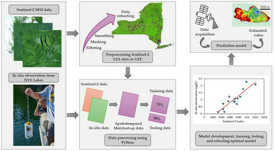
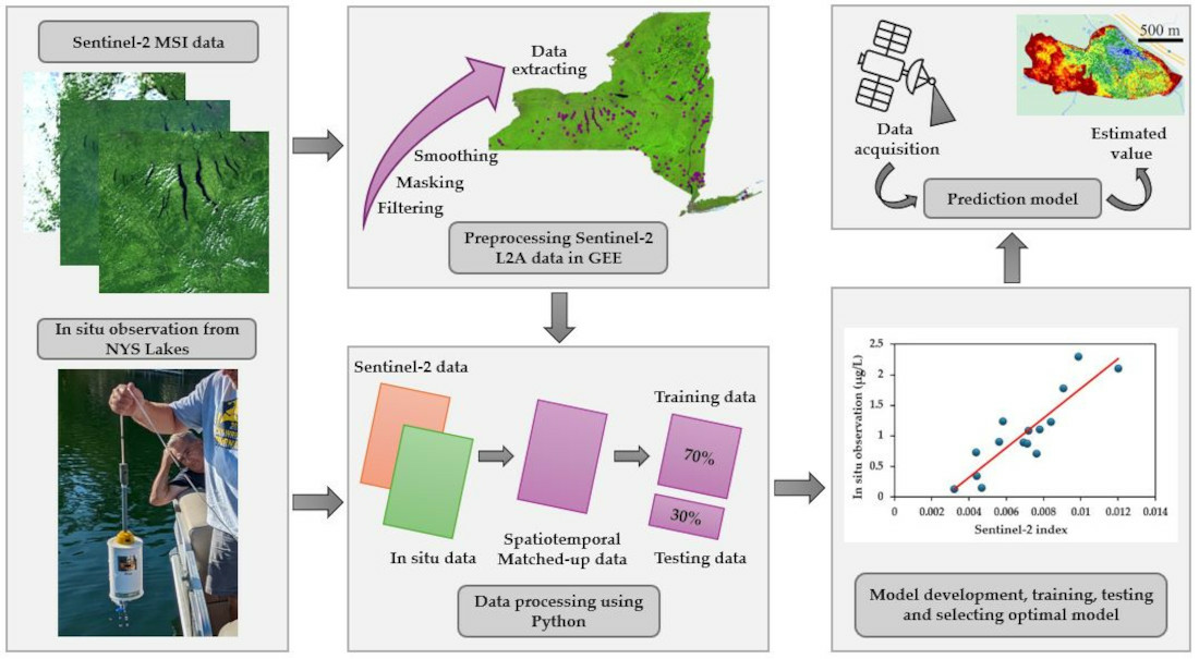
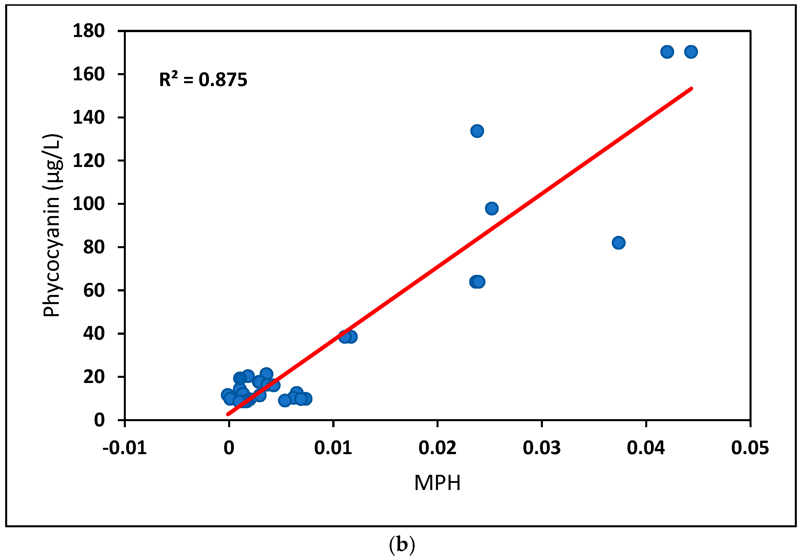
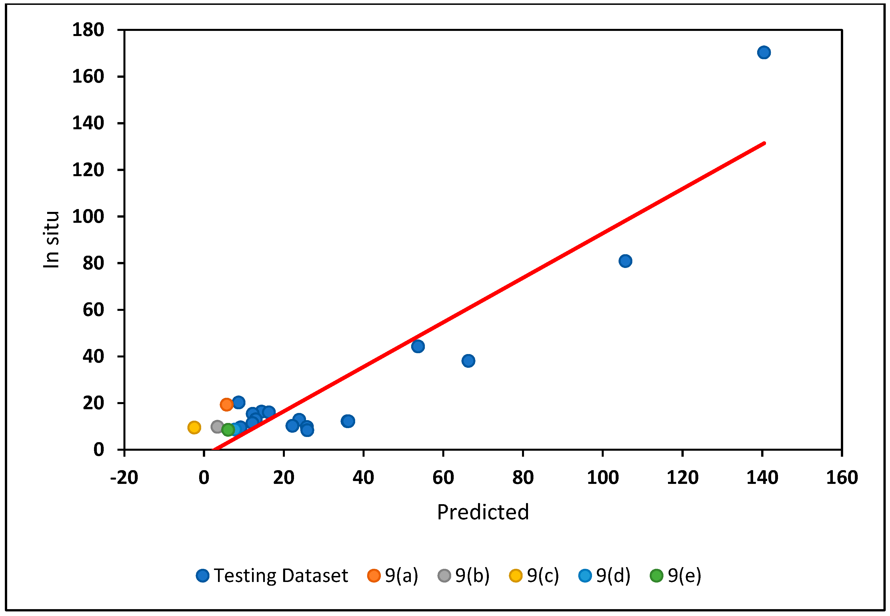
Harmful algae blooms (HABs) have been reported with greater frequency in lakes across New York State (NYS) in recent years. In situ sampling is used to assess water quality, but such observations are time intensive and therefore practically limited in their spatial extent. Previous research has used remote sensing imagery to estimate phytoplankton pigments (typically chlorophyll-a or phycocyanin) as HAB indicators. The primary goal of this study was to validate a remote sensing-based method to estimate cyanobacteria concentrations at high temporal (5 days) and spatial (10–20 m) resolution, to allow identification of lakes across NYS at a significant risk of algal blooms, thereby facilitating targeted field investigations. We used Google Earth Engine (GEE) as a cloud computing platform to develop an efficient methodology to process Sentinel-2 image collections at a large spatial and temporal scale. Our research used linear regression to model the correlation between in situ observations of chlorophyll-a (Chl-a) and phycocyanin and indices derived from Sentinel-2 data to evaluate the potential of remote sensing-derived inputs for estimating cyanobacteria concentrations. We tested the performance of empirical models based on seven remote-sensing-derived indices, two in situ measurements, two cloud mitigation approaches, and three temporal sampling windows across NYS lakes for 2019 and 2020. Our best base model (R2 of 0.63), using concurrent sampling data and the ESA cloud masking—i.e., the QA60 bitmask—approach, related the maximum peak height (MPH) index to phycocyanin concentrations. Expanding the temporal match using a one-day time window increased the available training dataset size and improved the fit of the linear regression model (R2 of 0.71), highlighting the positive impact of increasing the training dataset on model fit. Applying the Cloud Score+ method for filtering cloud and cloud shadows further improved the fit of the phycocyanin estimation model, with an R2 of 0.84, but did not result in substantial improvements in the model’s application. The fit of the Chl-a models was generally poorer, but these models still had good accuracy in detecting moderate and high Chl-a values. Future work will focus on exploring alternative algorithms that can incorporate diverse data sources and lake characteristics, contributing to a deeper understanding of the relationship between remote sensing data and water quality parameters. This research provides a valuable tool for cyanobacteria parameter estimation with confidence quantification to identify lakes at risk of algal blooms.
Keywords: cloud mask; small- and mid-size lakes; maximum peak height (MPH) index cloud mask; small- and mid-size lakes; maximum peak height (MPH) index
Graphical Abstract