Article

Coastal Sea Ice Concentration Derived from Marine Radar Images: A Case Study from Utqiaġvik, Alaska

by
Felix St-Denis
1,*,
L. Bruno Tremblay
1,
Andrew R. Mahoney
2 and
Kitrea Pacifica L. M. Takata-Glushkoff
2
1
Department of Atmospheric and Oceanic Sciences, McGill University, Montreal, QC H3A 0B9, Canada
2
Geophysical Institute, University of Alaska Fairbanks, Fairbanks, AK 99775-7320, USA
*
Author to whom correspondence should be addressed.
Remote Sens. 2024, 16(18), 3357; https://doi.org/10.3390/rs16183357
Submission received: 11 July 2024 / Revised: 5 September 2024 / Accepted: 8 September 2024 / Published: 10 September 2024
(This article belongs to the Section Remote Sensing Image Processing)

Abstract

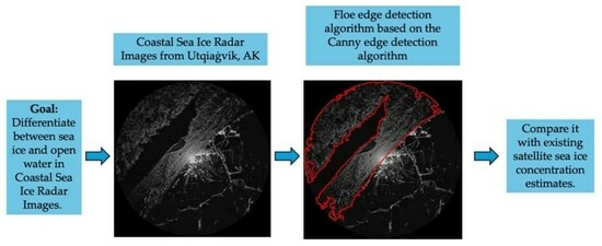
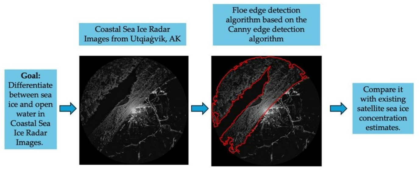
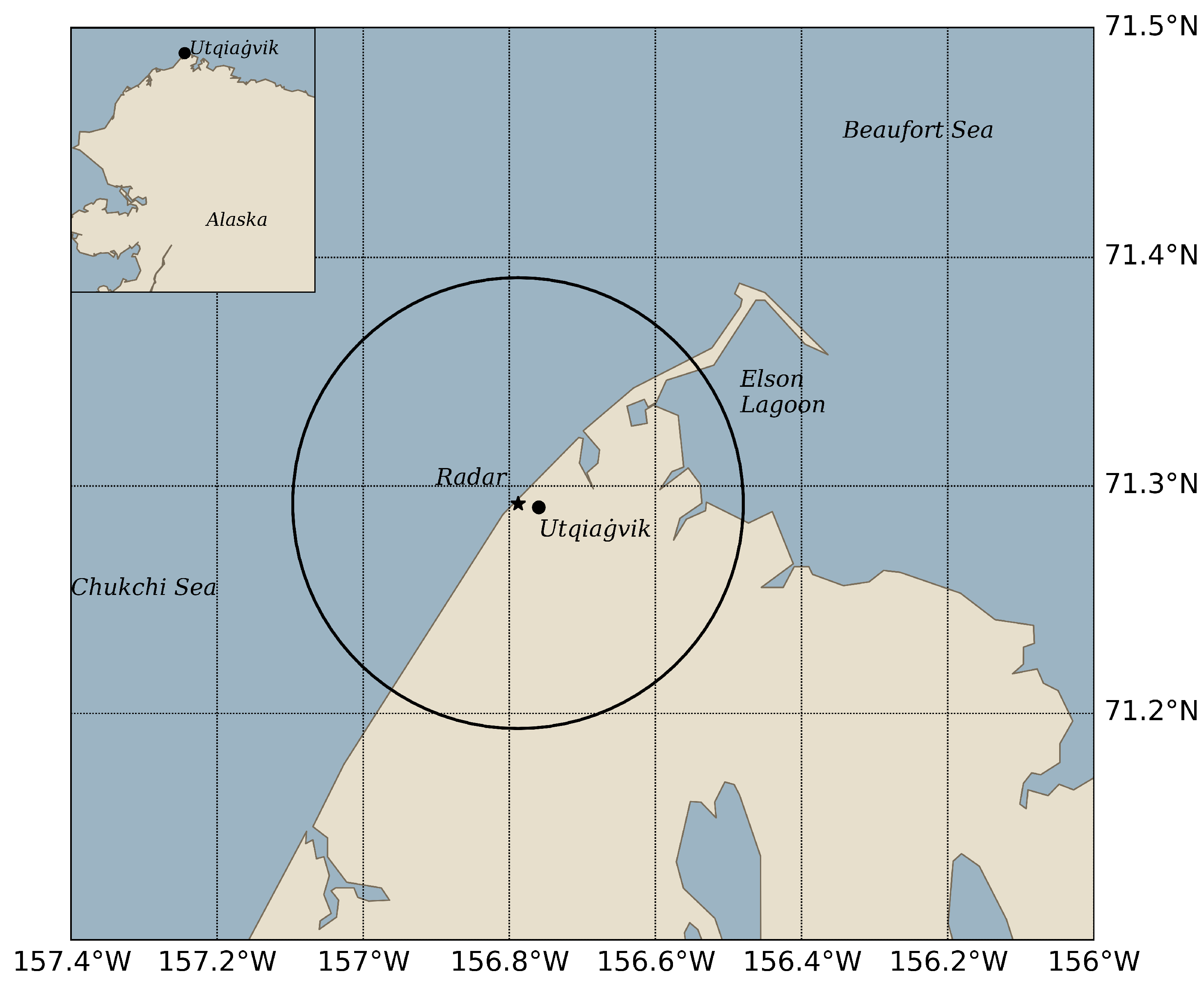
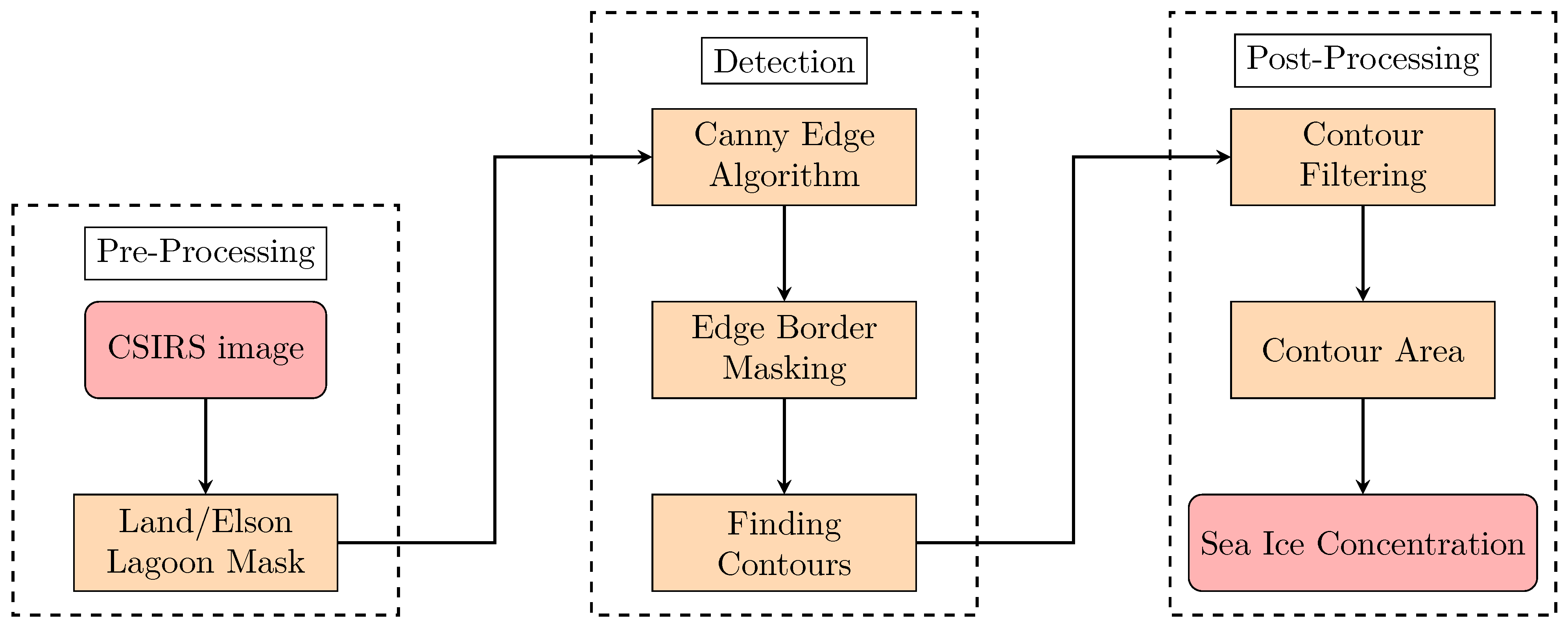
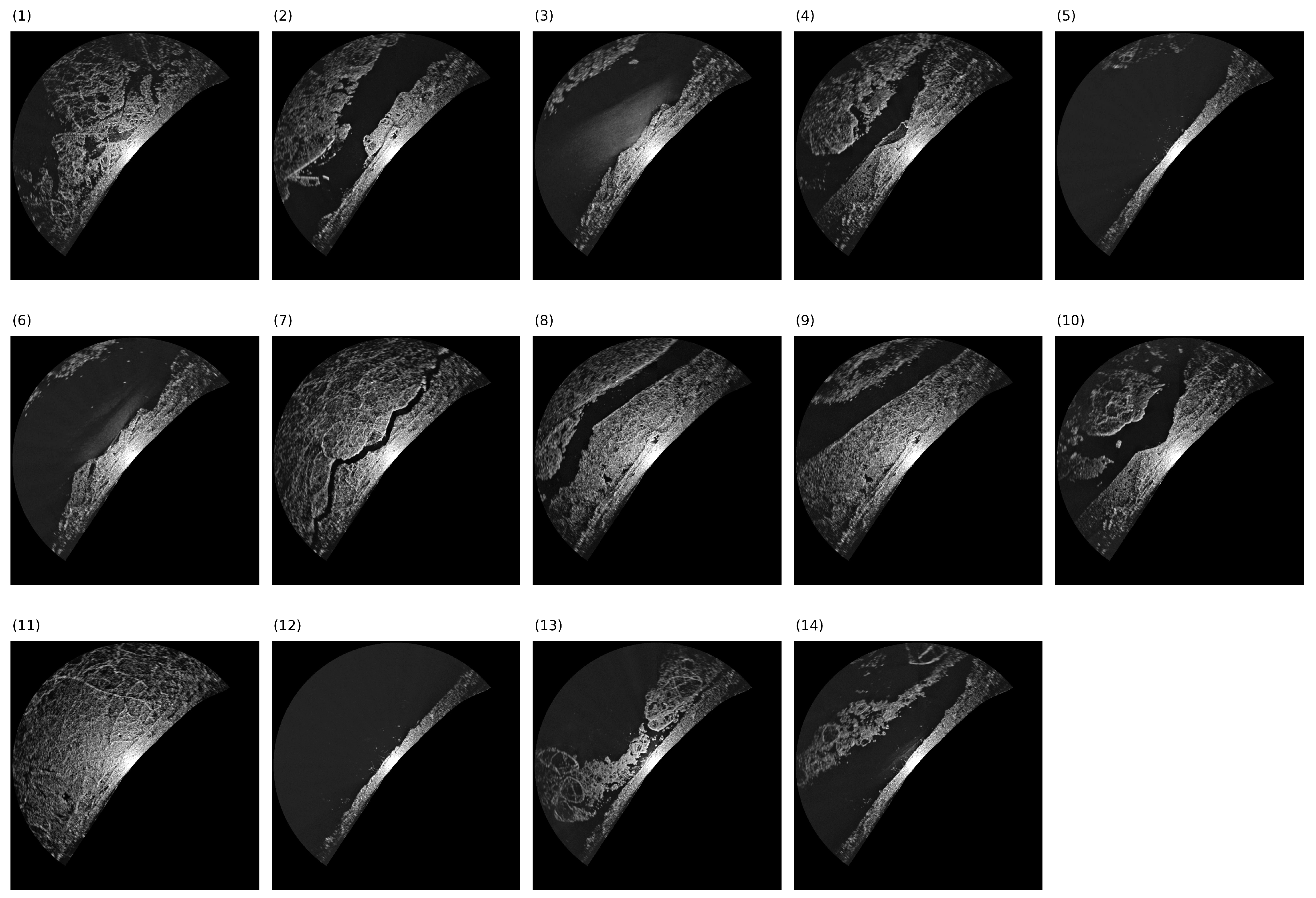
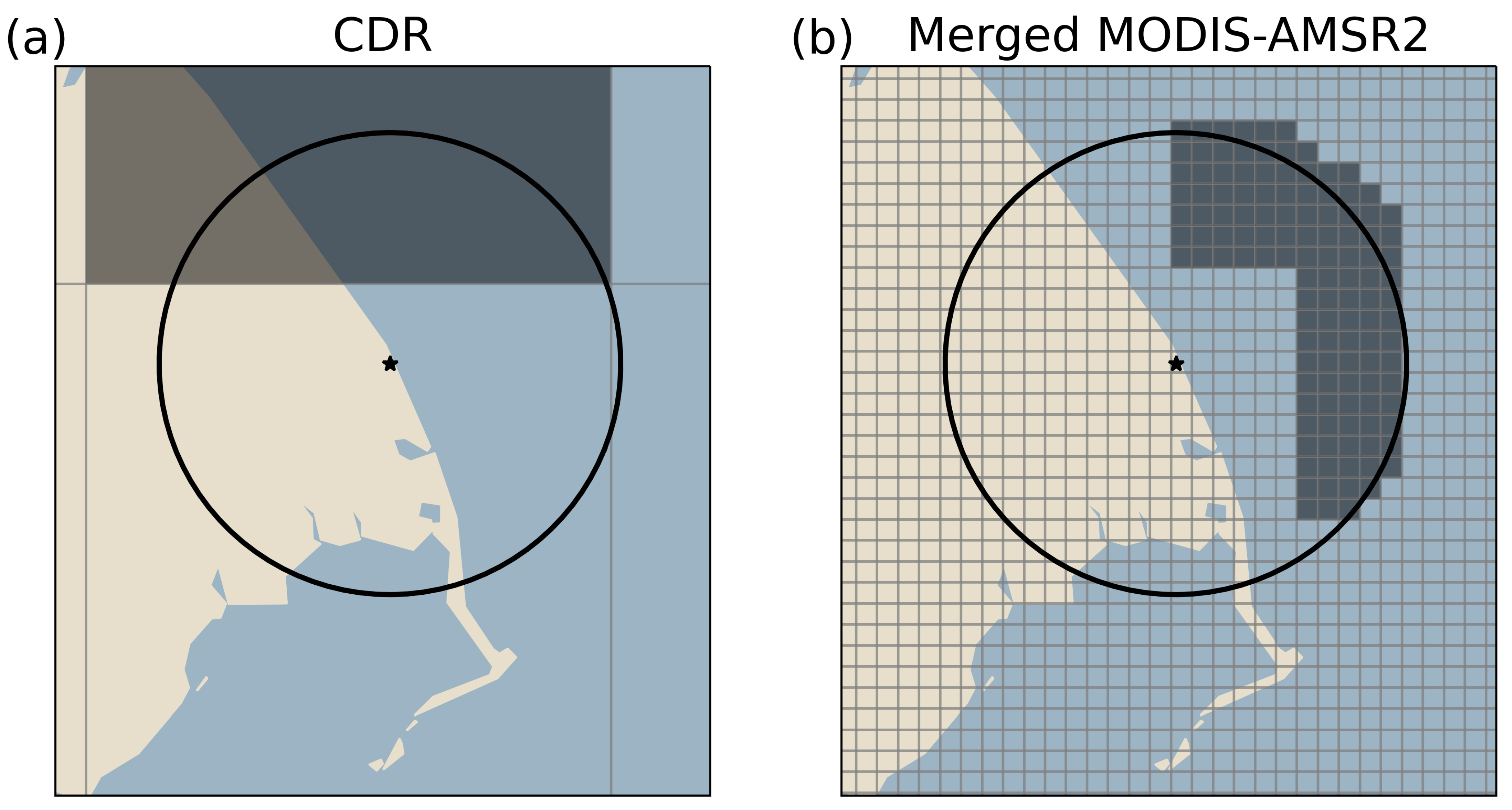
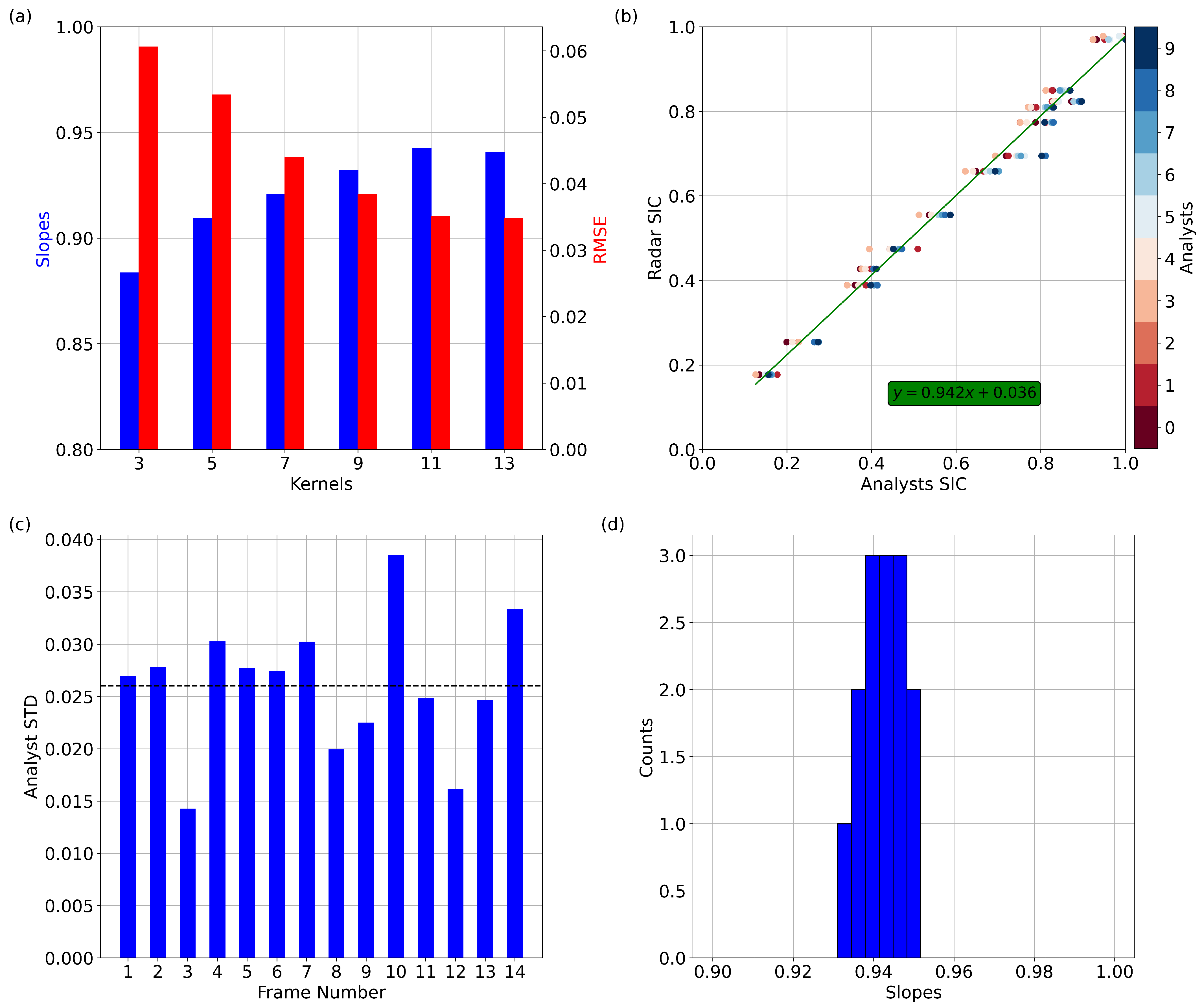
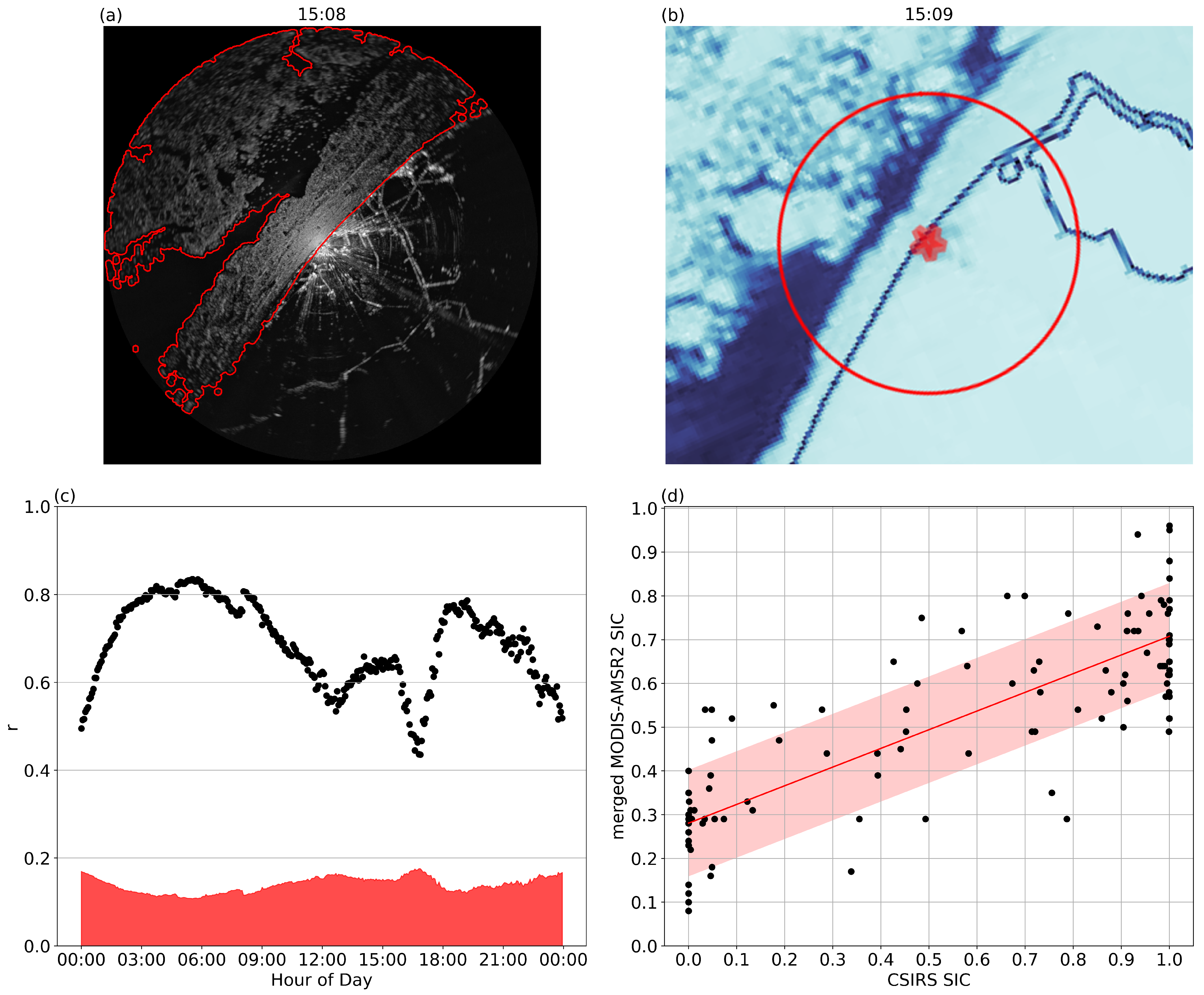
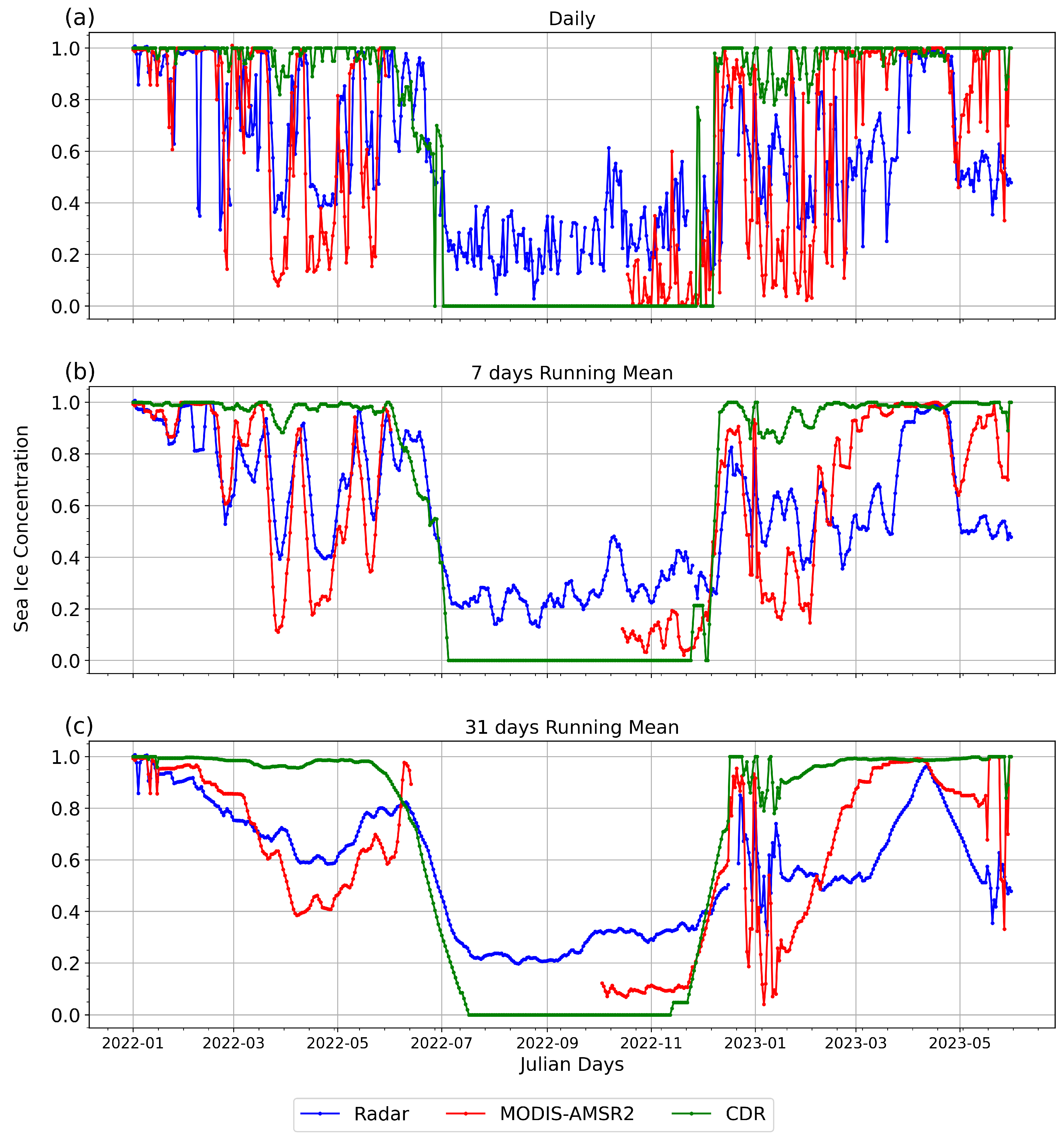
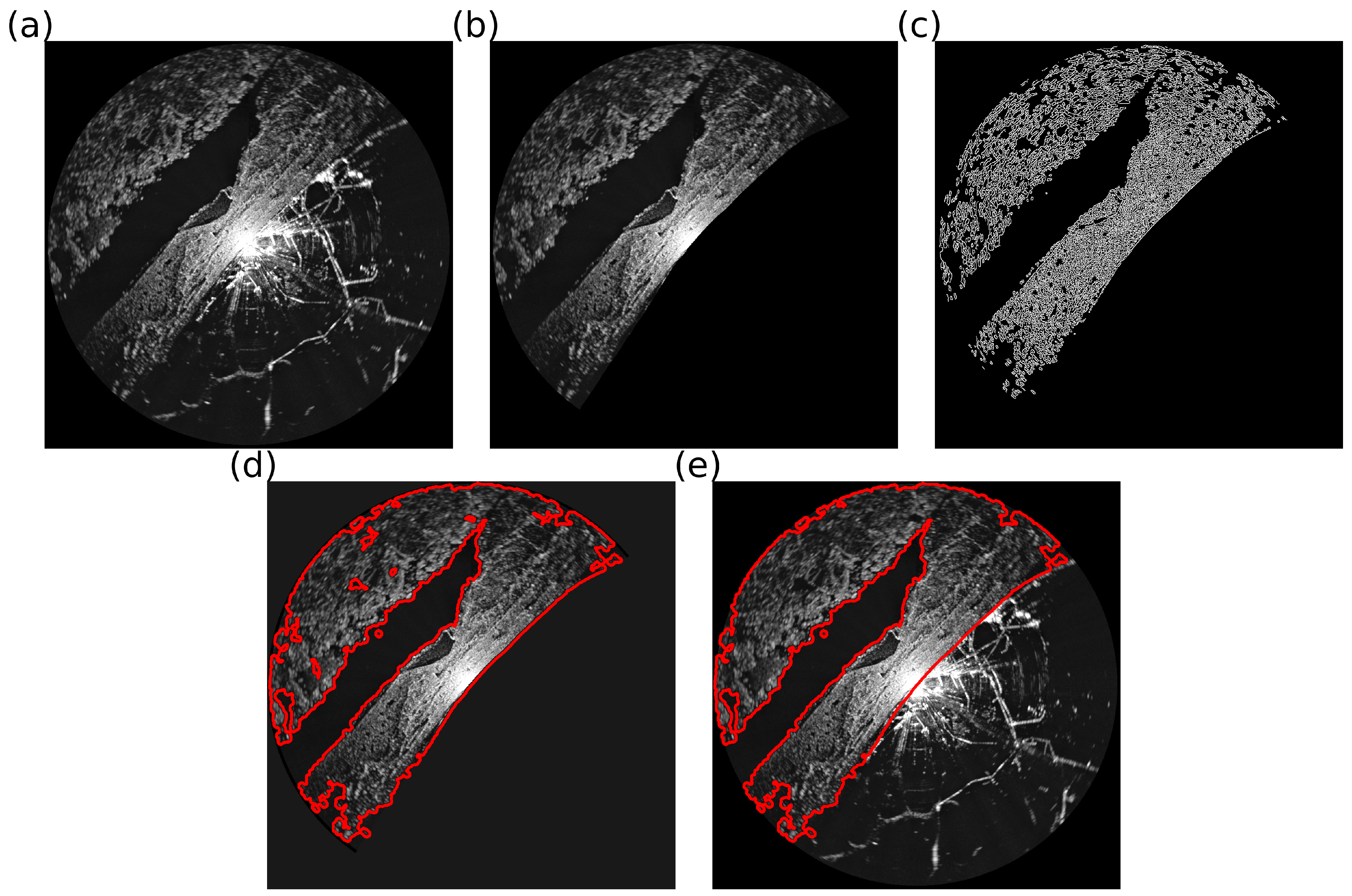
We apply the Canny edge algorithm to imagery from the Utqiaġvik coastal sea ice radar system (CSIRS) to identify regions of open water and sea ice and quantify ice concentration. The radar-derived sea ice concentration (SIC) is compared against the (closest to the radar field of view) 25 km resolution NSIDC Climate Data Record (CDR) and the 1 km merged MODIS-AMSR2 sea ice concentrations within the ∼11 km field of view for the year 2022–2023, when improved image contrast was first implemented. The algorithm was first optimized using sea ice concentration from 14 different images and 10 ice analysts (140 analyses in total) covering a range of ice conditions with landfast ice, drifting ice, and open water. The algorithm is also validated quantitatively against high-resolution MODIS-Terra in the visible range. Results show a correlation coefficient and mean bias error between the optimized algorithm, the CDR and MODIS-AMSR2 daily SIC of 0.18 and 0.54, and ∼−1.0 and 0.7%, respectively, with an averaged inter-analyst error of ±3%. In general, the CDR captures the melt period correctly and overestimates the SIC during the winter and freeze-up period, while the merged MODIS-AMSR2 better captures the punctual break-out events in winter, including those during the freeze-up events (reduction in SIC). Remnant issues with the detection algorithm include the false detection of sea ice in the presence of fog or precipitation (up to 20%), quantified from the summer reconstruction with known open water conditions. The proposed technique allows for the derivation of the SIC from CSIRS data at spatial and temporal scales that coincide with those at which coastal communities members interact with sea ice. Moreover, by measuring the SIC in nearshore waters adjacent to the shoreline, we can quantify the effect of land contamination that detracts from the usefulness of satellite-derived SIC for coastal communities.
Keywords: coastal radar; sea ice concentration; remote sensing; Utqiaġvik; Arctic coastal radar; sea ice concentration; remote sensing; Utqiaġvik; Arctic
Graphical Abstract