Article

Multi-Hazard Tropical Cyclone Risk Assessment for Australia

1
Climate Risk and Early Warning Systems (CREWS), Science and Innovation Group, Bureau of Meteorology, 700 Collins Street, Melbourne, VIC 3008, Australia
2
School of Science, Geospatial Science, Royal Melbourne University of Technology (RMIT) University, 124 La Trobe Street, Melbourne, VIC 3000, Australia
*
Author to whom correspondence should be addressed.
Remote Sens. 2023, 15(3), 795; https://doi.org/10.3390/rs15030795
Submission received: 22 December 2022 / Revised: 27 January 2023 / Accepted: 29 January 2023 / Published: 31 January 2023

Abstract

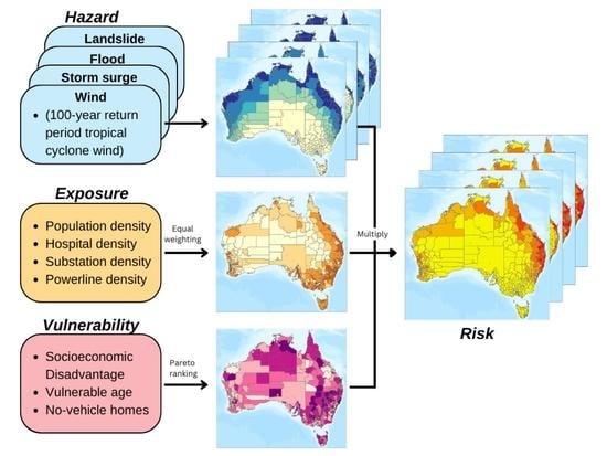
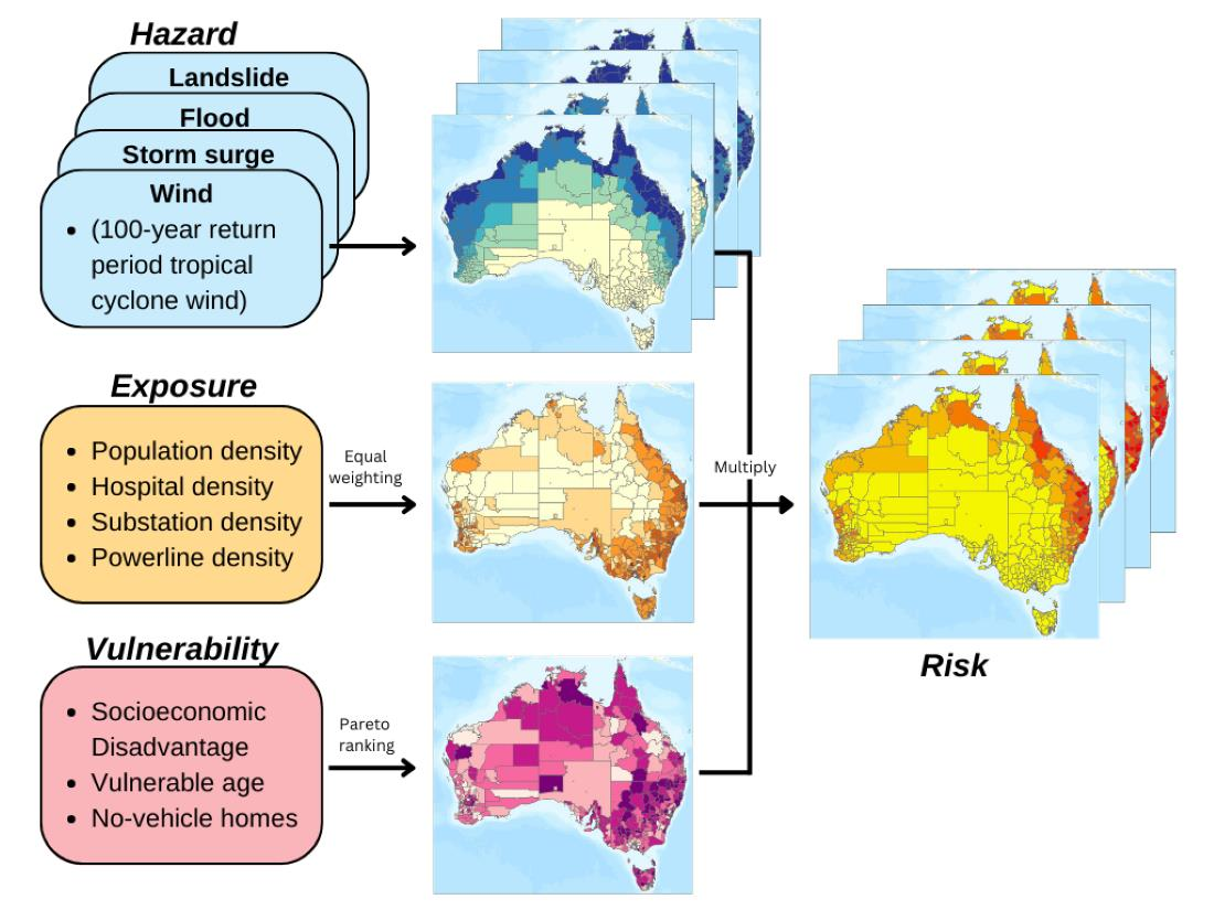
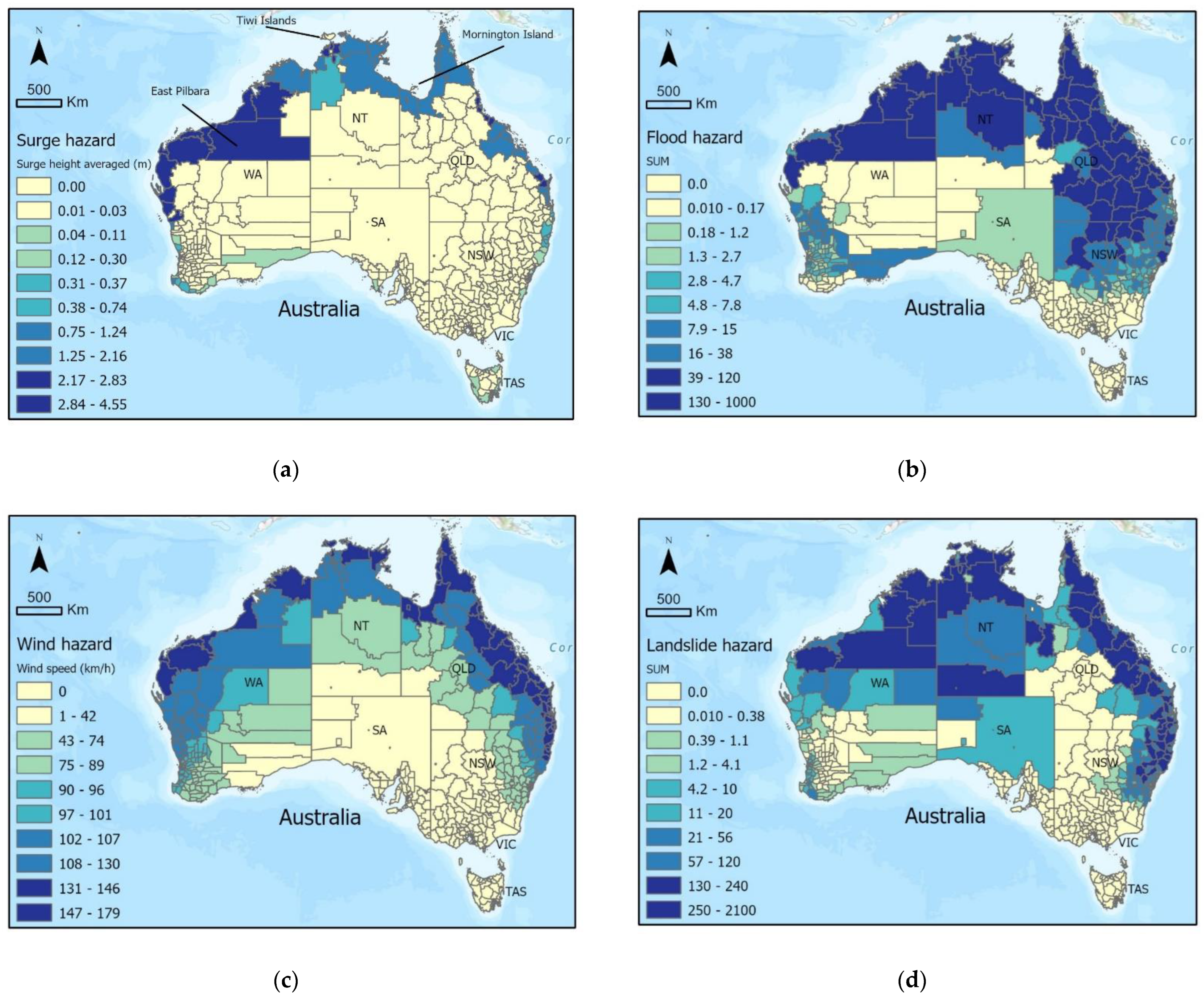
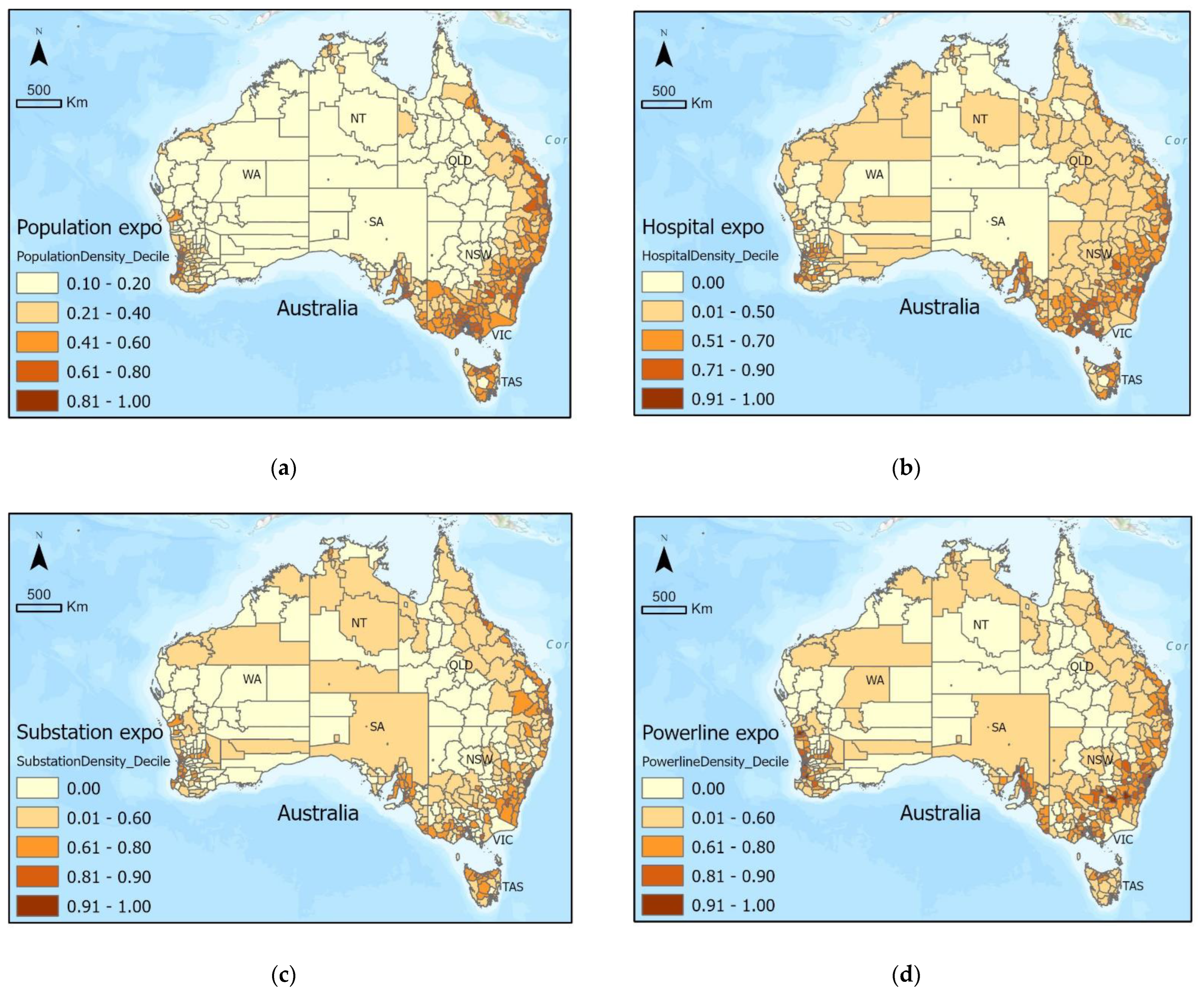
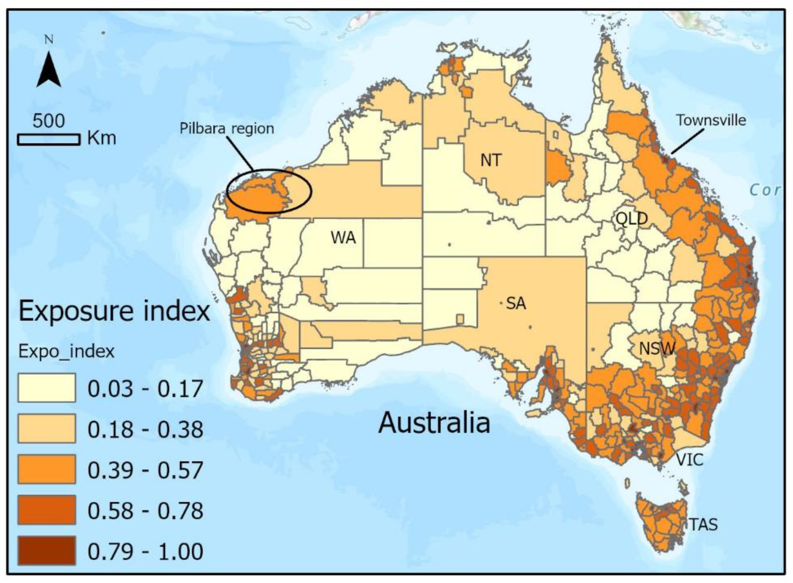
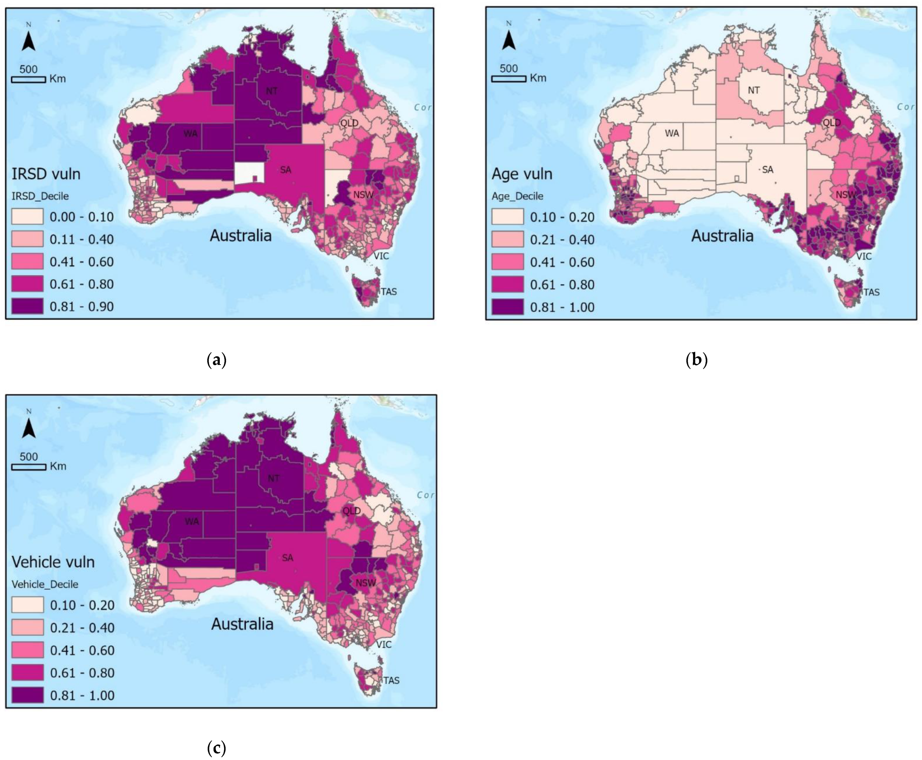
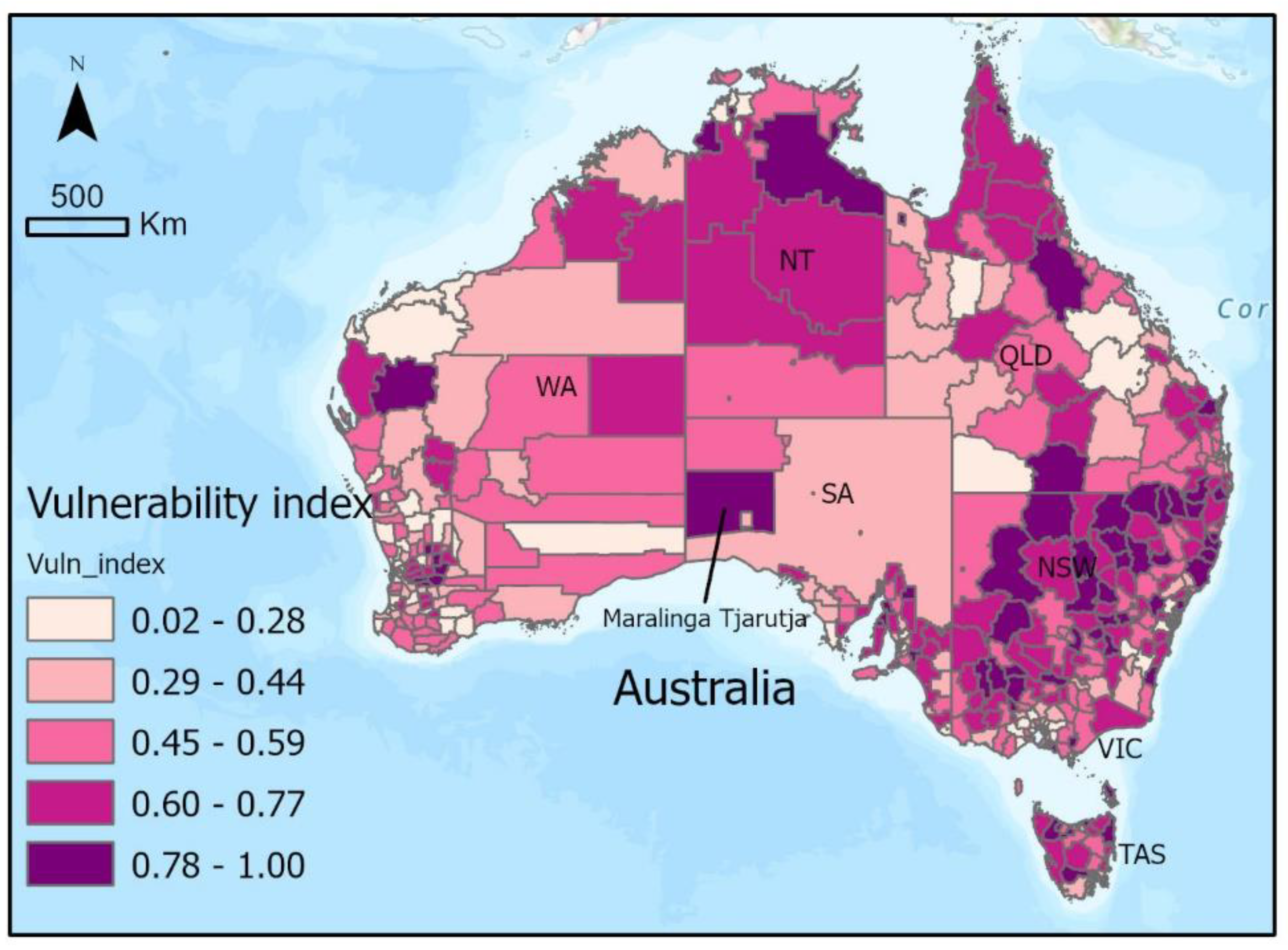
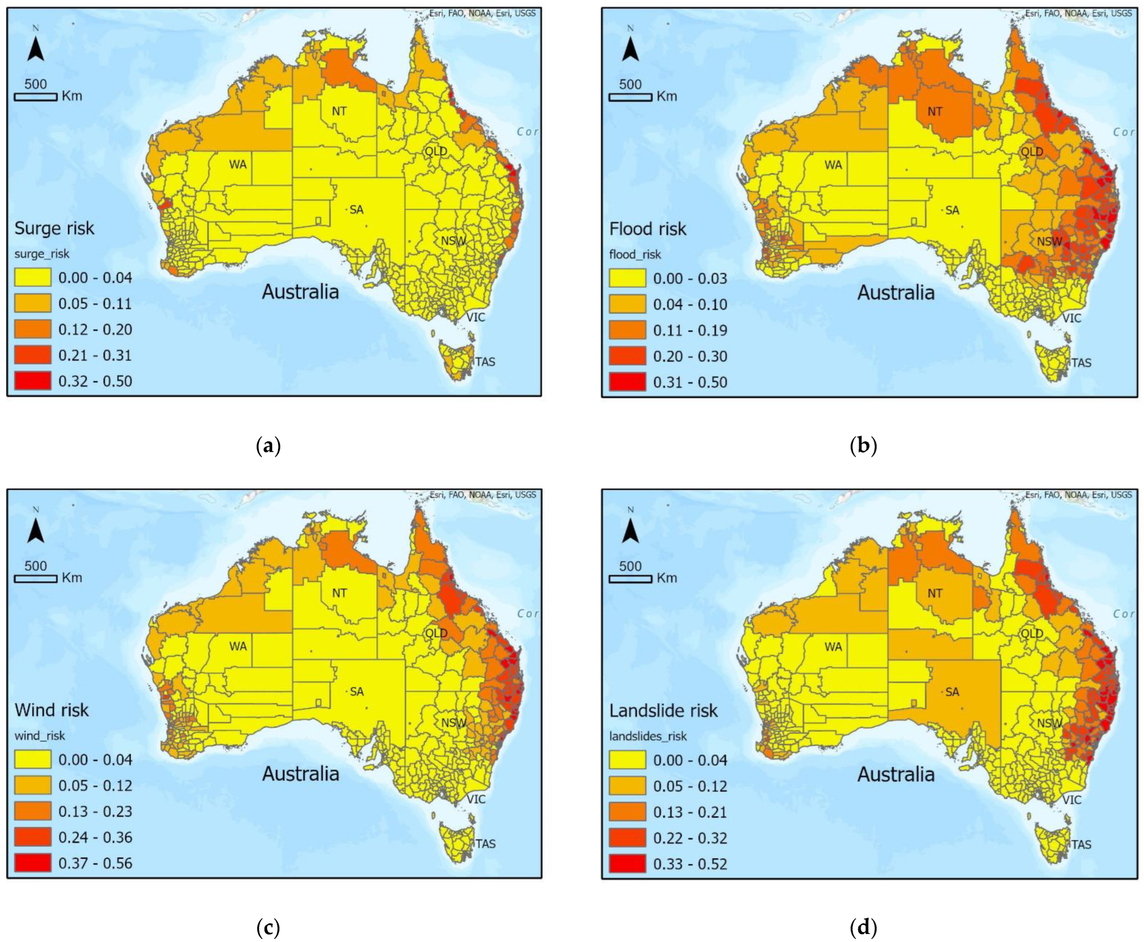
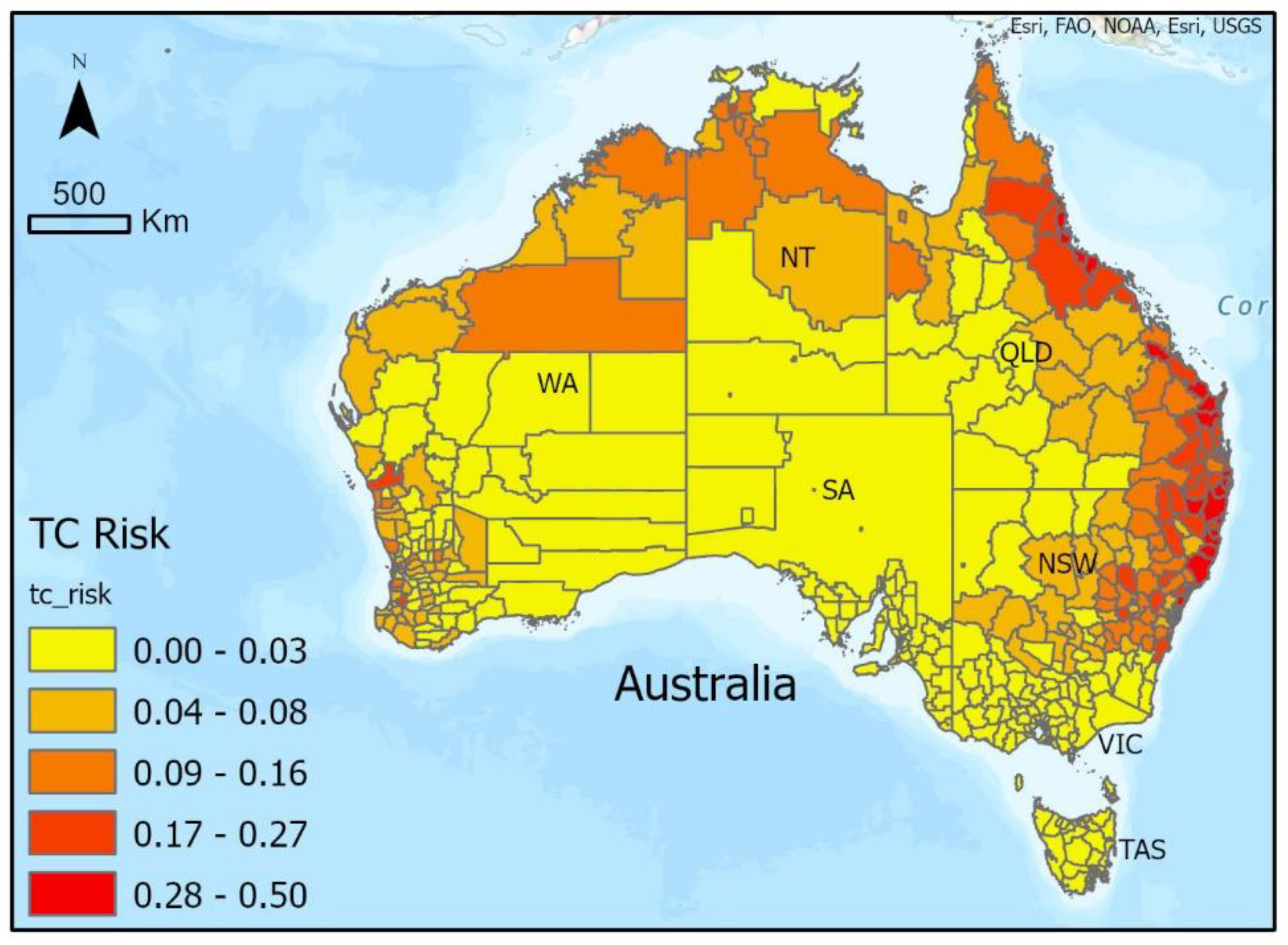
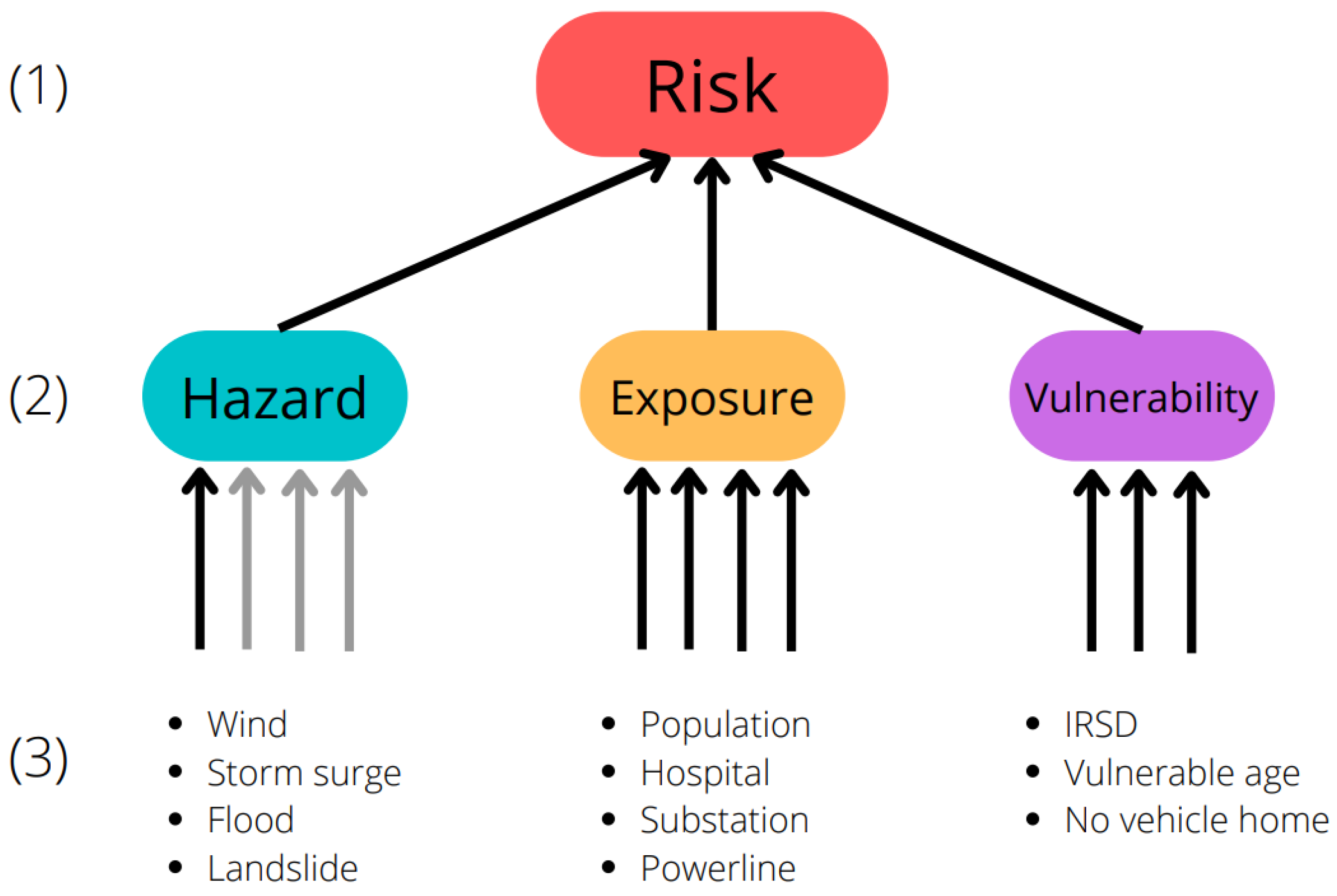
Tropical cyclones (TCs) have long posed a significant threat to Australia’s population, infrastructure, and environment. This threat may grow under climate change as projections indicate continuing rises in sea level and increases in rainfall during TC events. Previous Australian TC risk assessment efforts have focused on the risk from wind, whereas a holistic approach requires multi-hazard risk assessments that also consider impacts of other TC-related hazards. This study assessed and mapped TC risk nationwide, focusing on the impacts on population and infrastructure from the TC-related hazards of wind, storm surges, flooding, and landslides. Risk maps were created at the Local Government Area (LGA) level for all of Australia, using collated data on multiple hazards, exposure, and vulnerability. The results demonstrated that the risk posed by all hazards was highest for coastal LGAs of eastern Queensland and New South Wales, followed by medium risk across Northern Territory and north-western Western Australia. Further enhancement and validation of risk maps developed in this study will provide decision makers with the information needed to reduce TC risk, save lives, and prevent damage to infrastructure.
Keywords: tropical cyclones; risk assessment; Australia tropical cyclones; risk assessment; Australia
Graphical Abstract