Article

Combining Satellite Imagery and a Deep Learning Algorithm to Retrieve the Water Levels of Small Reservoirs

1
Key Laboratory of Agro-Forestry Environmental Processes and Ecological Regulation, School of Ecology and Environment, Hainan University, Haikou 570228, China
2
Key Laboratory of Integrated Regulation and Resource Development on Shallow Lakes, Ministry of Education, College of Environment, Hohai University, Nanjing 210098, China
3
College of Geography and Remote Sensing, Hohai University, Nanjing 210098, China
4
College of Computer and Information, Hohai University, Nanjing 210098, China
5
Department of Civil and Environmental Engineering, University of Auckland, Auckland 1010, New Zealand
6
School of Breeding and Multiplication (Sanya Institute of Breeding and Multiplication), Hainan University, Sanya 572025, China
7
Ministry of Education Key Laboratory for Earth System Modeling, Department of Earth System Science, Tsinghua University, Beijing 100190, China
*
Author to whom correspondence should be addressed.
Remote Sens. 2023, 15(24), 5740; https://doi.org/10.3390/rs15245740
Submission received: 4 October 2023 / Revised: 2 December 2023 / Accepted: 12 December 2023 / Published: 15 December 2023
(This article belongs to the Special Issue Remote Sensing of Land Water Bodies)

Abstract

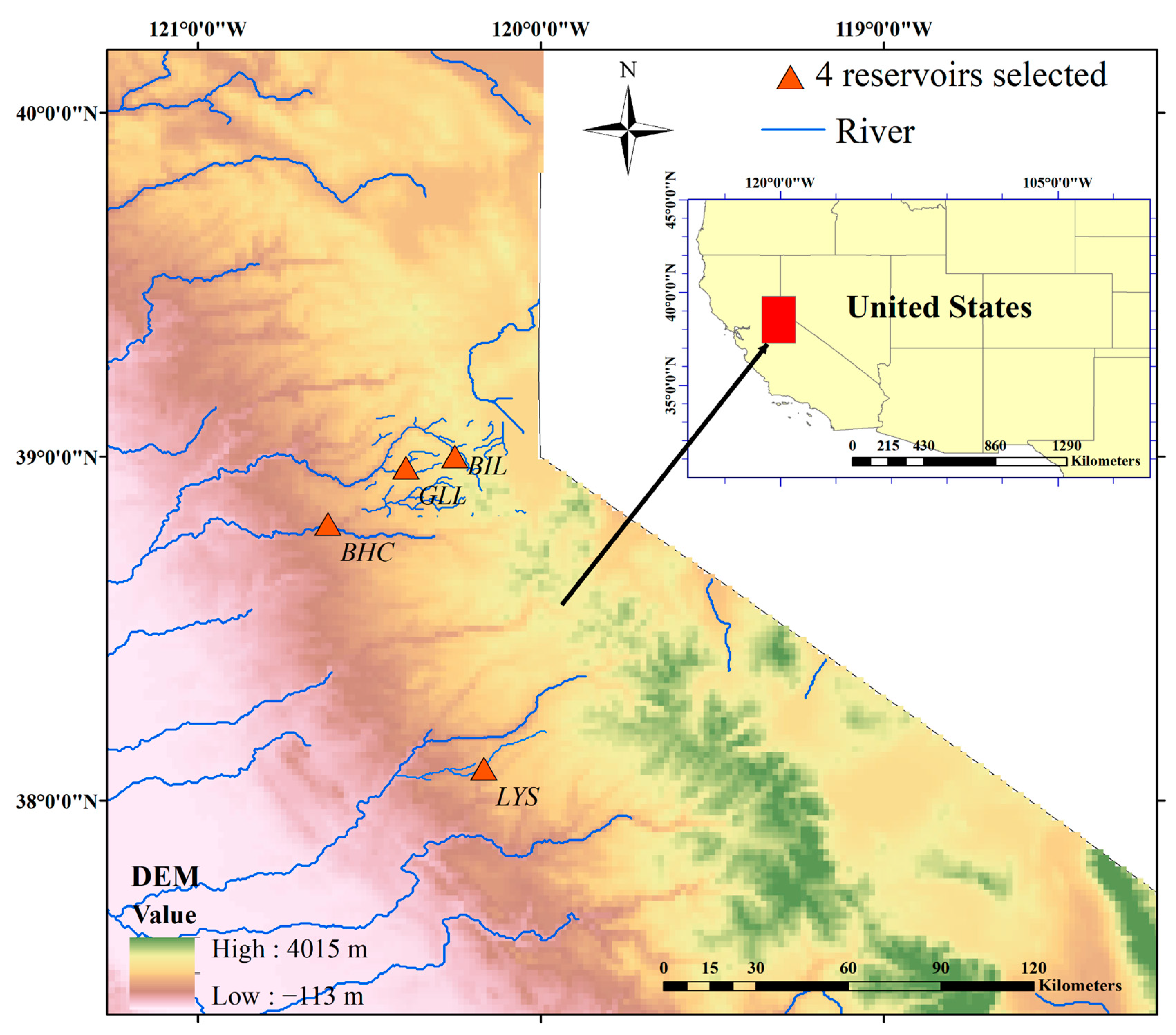
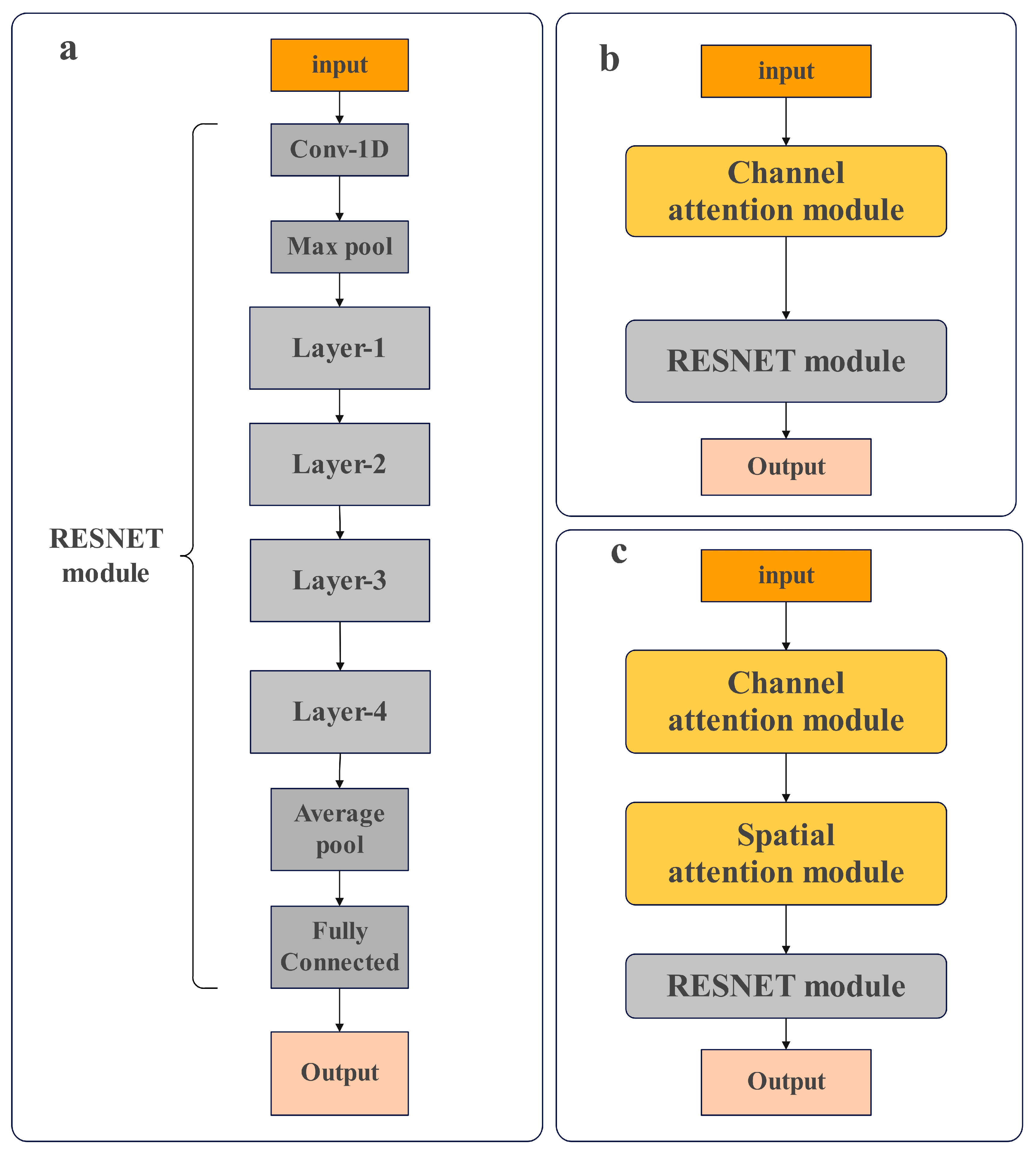
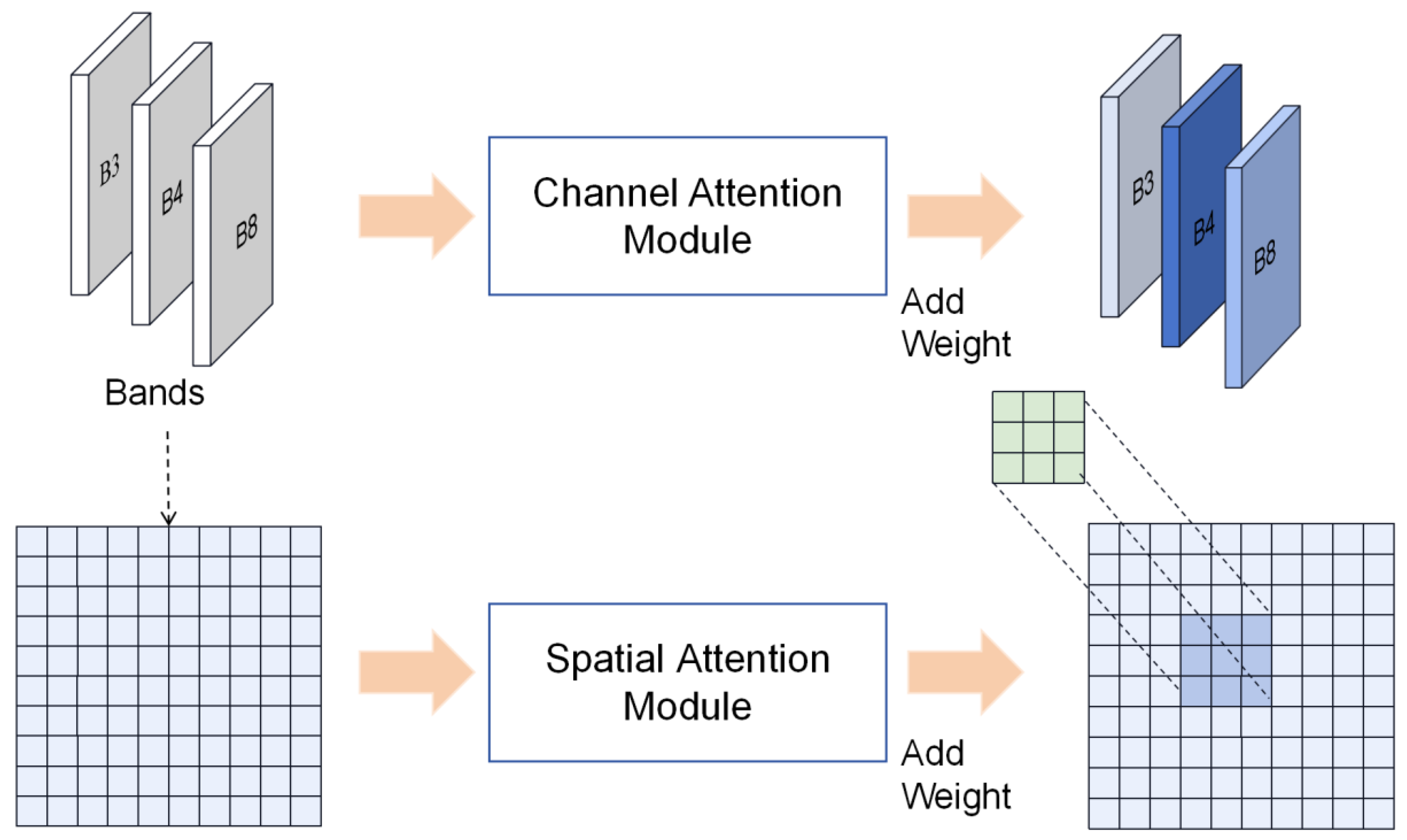
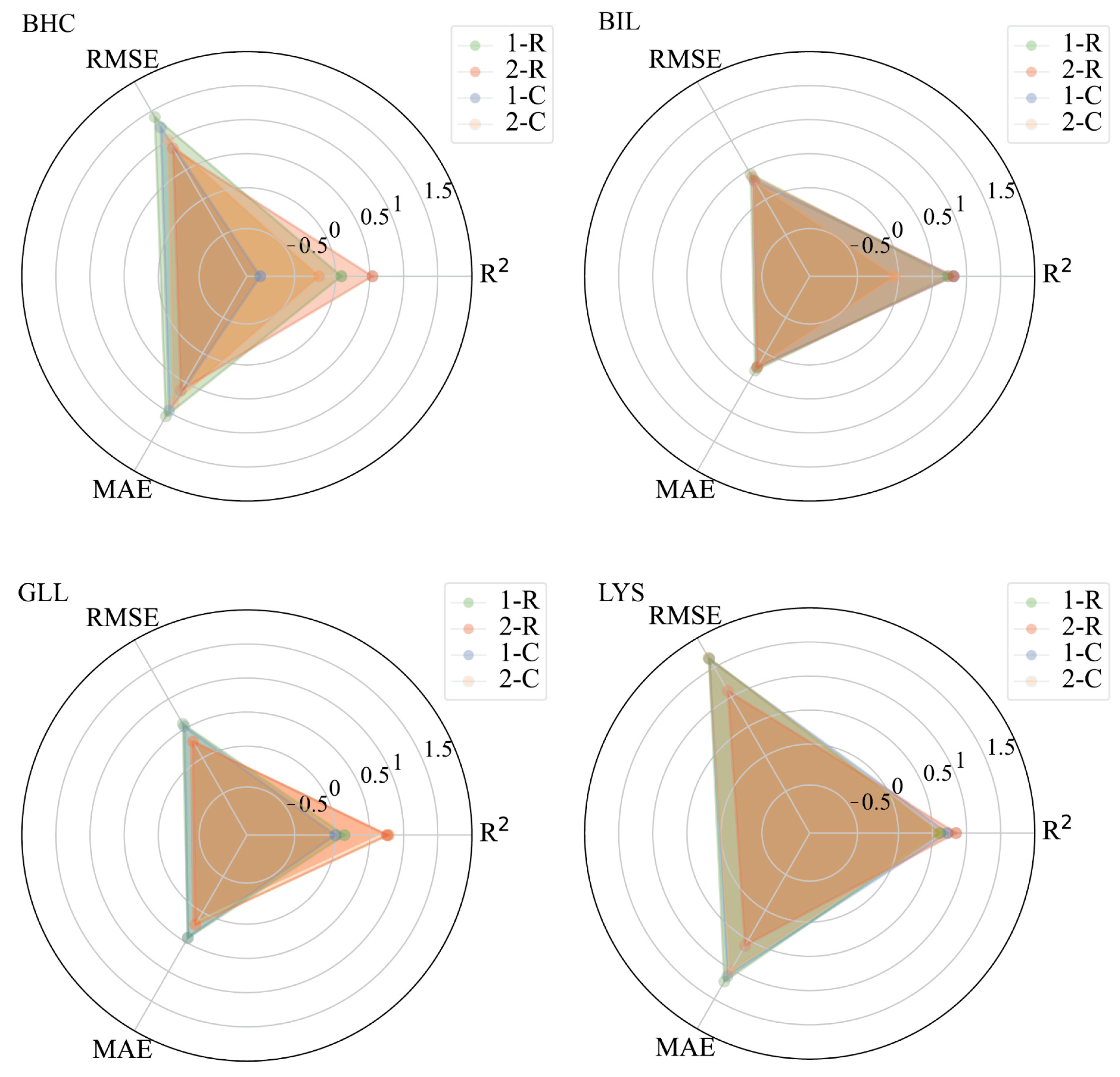
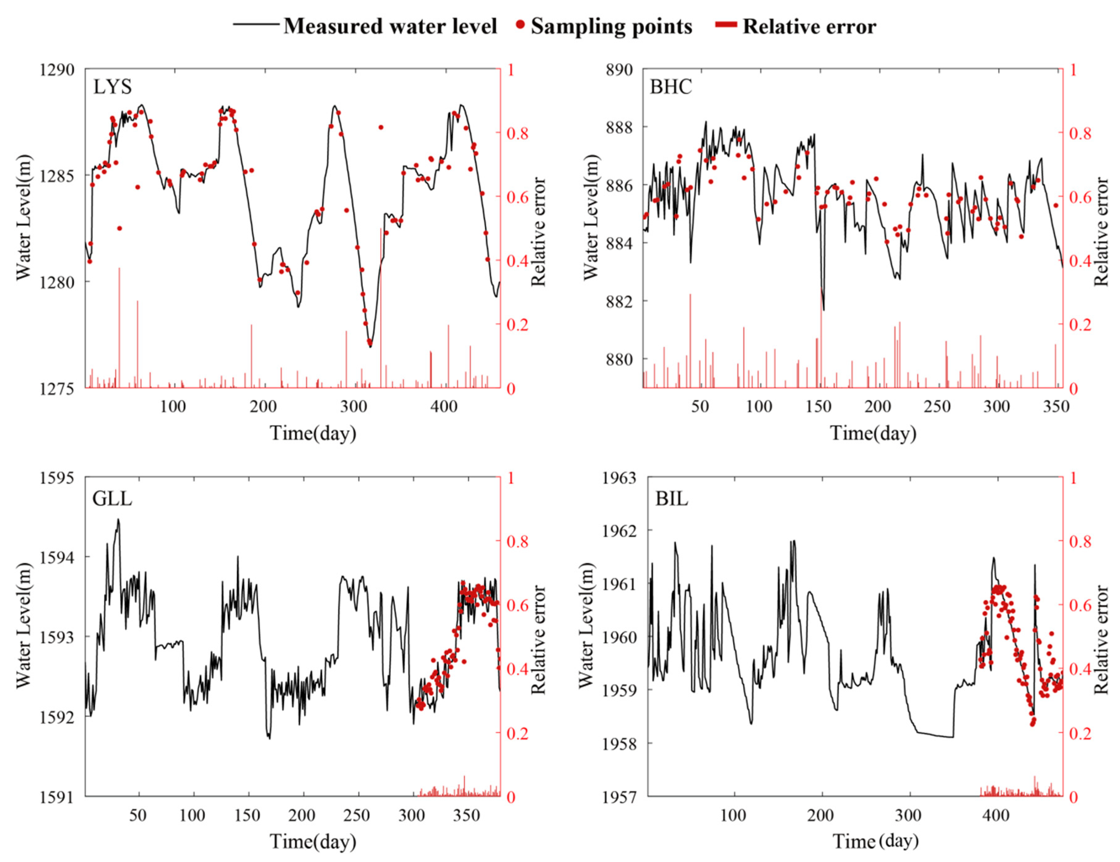
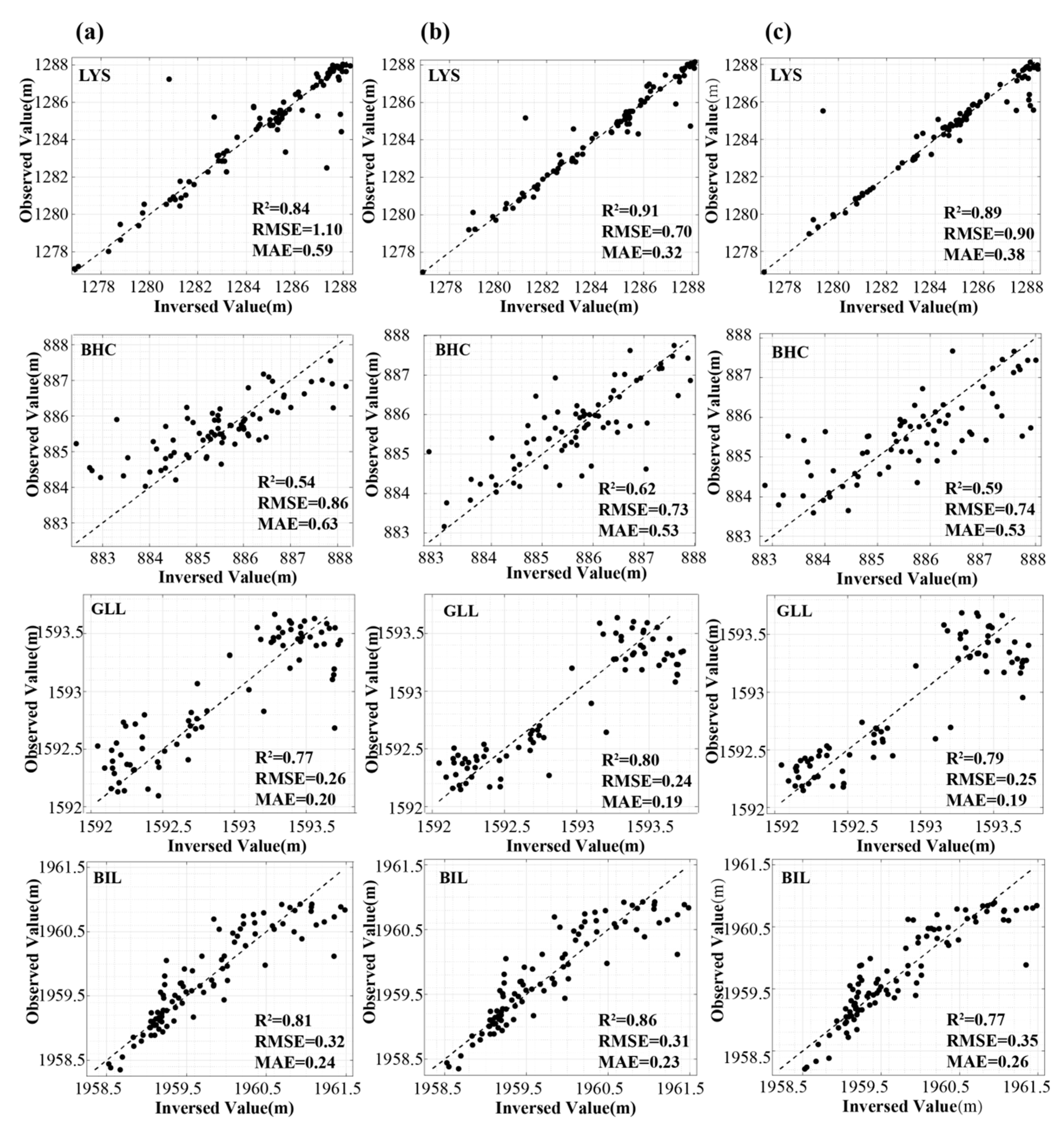
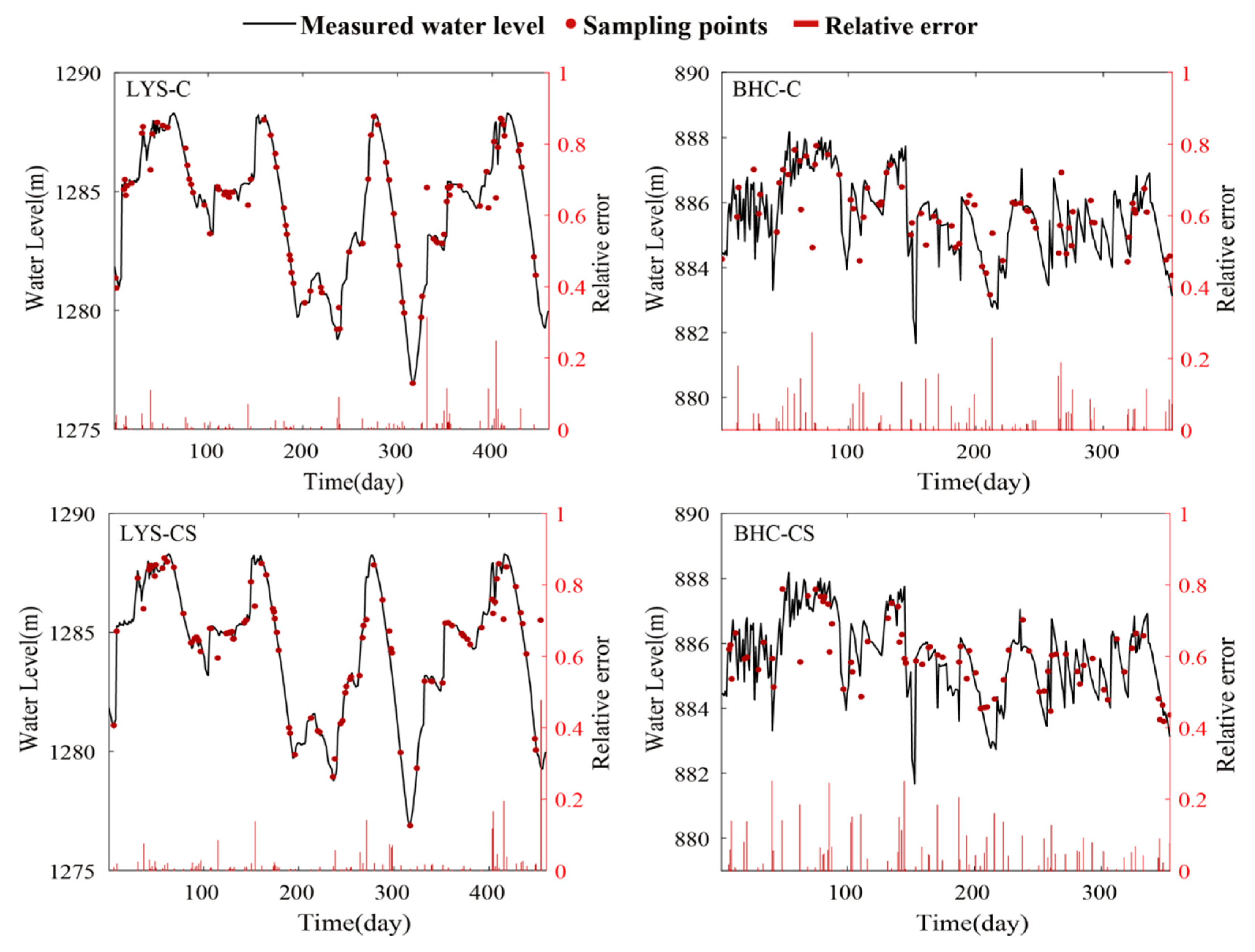
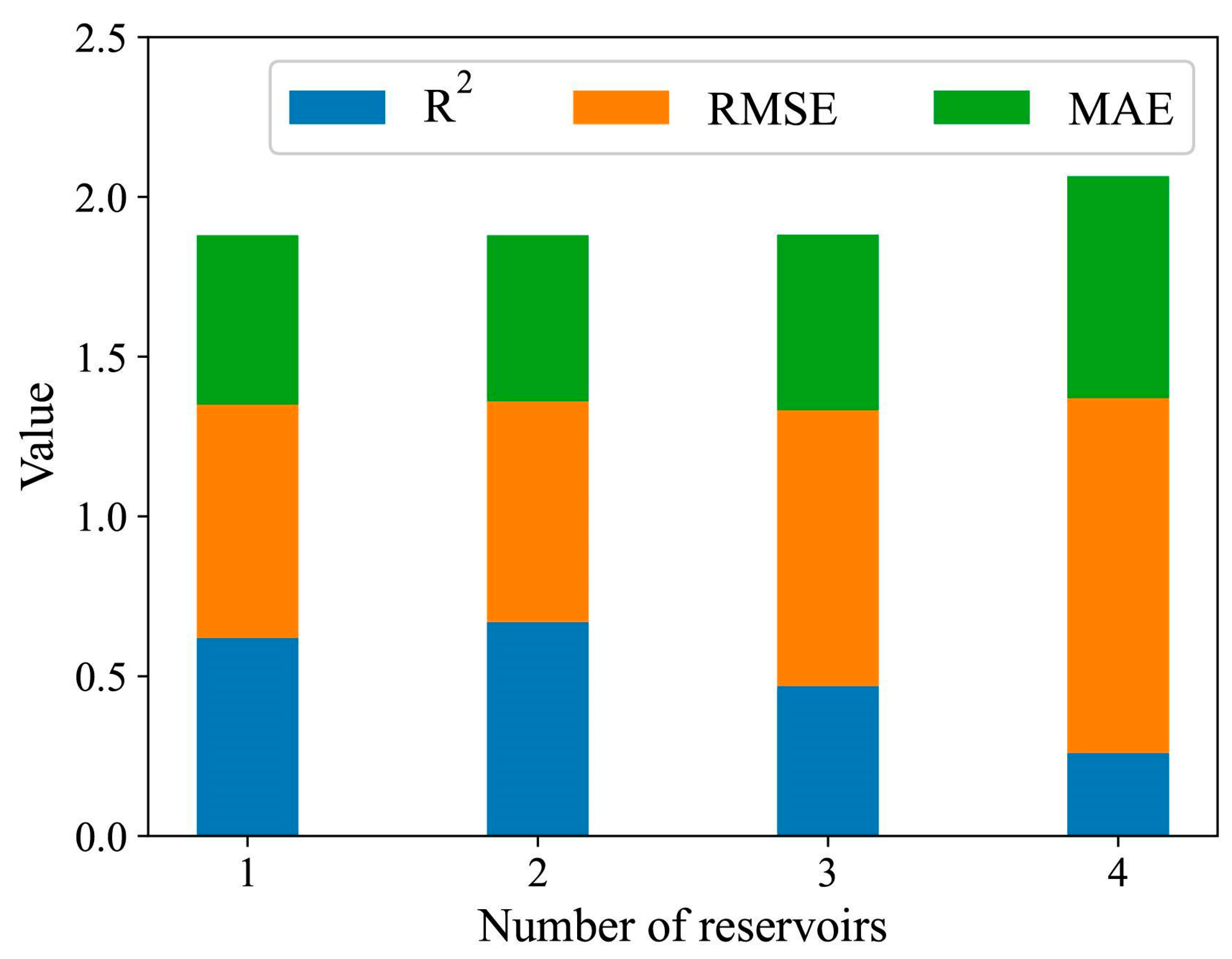
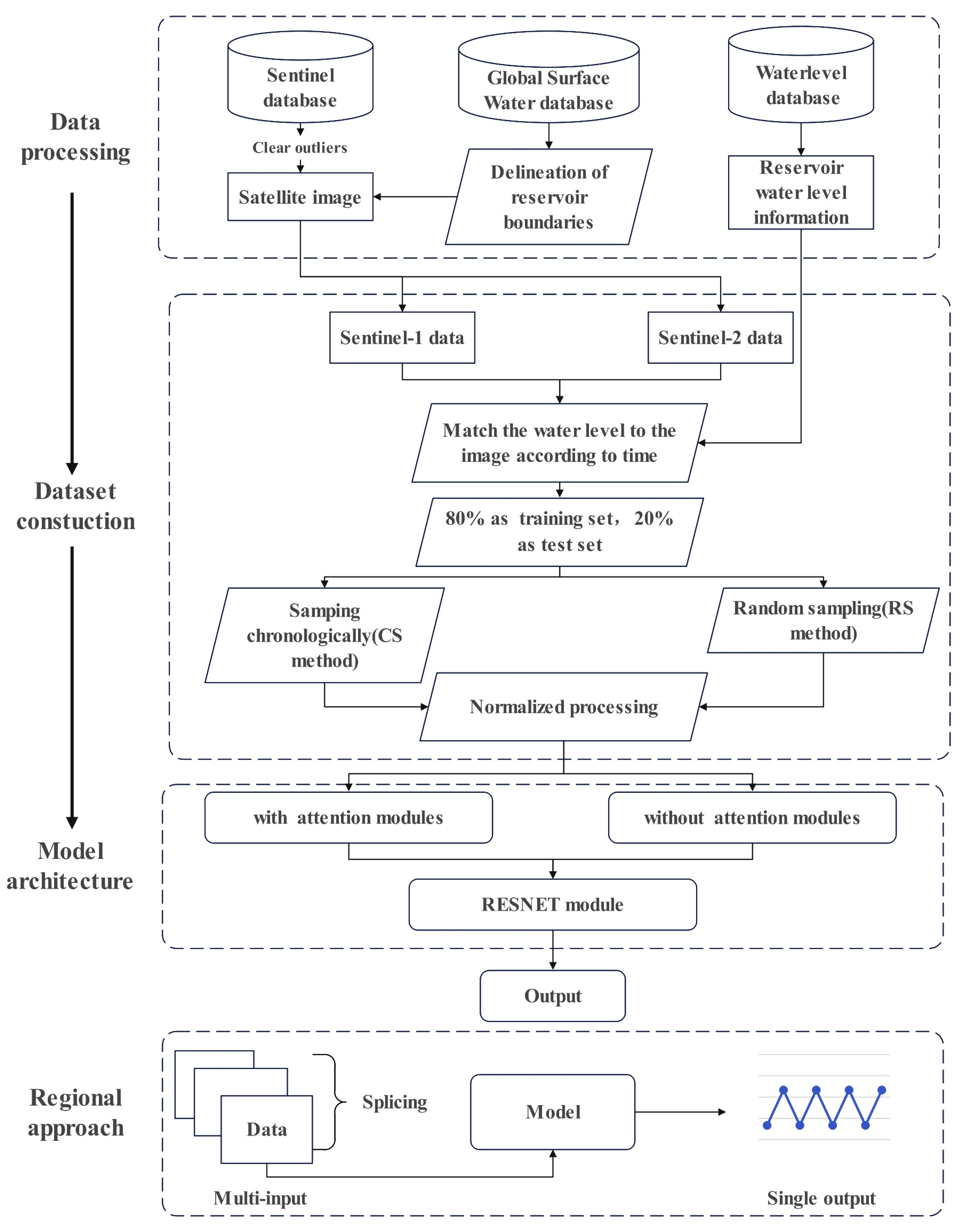
There are an estimated 800,000 small reservoirs globally with a range of uses. Given the collective importance of these reservoirs to water resource management and wider society, it is essential that we can monitor and understand the hydrological dynamics of ungauged reservoirs, particularly in a changing climate. However, unlike large reservoirs, continuous and systematic hydrological observations of small reservoirs are often unavailable. In response, this study has developed a retrieval framework for water levels of small reservoirs using a deep learning algorithm and remotely sensed satellite data. Demonstrated at four reservoirs in California, satellite imagery from both Sentinel-1 and Sentinel-2 along with corresponding water level field measurements was collected. Post-processed images were fed into a water level inversion convolutional neural network model for water level inversion, while different combinations of these satellite images, sampling approaches for training/testing data, and attention modules were used to train the model and evaluated for accuracy. The results show that random sampling of training data coupled with Sentinel-2 satellite imagery was generally the most accurate initially. Performance is improved by incorporating a channel attention mechanism, with the average R2 increasing by 8.6% and the average RMSE and MAE decreasing by 15.5% and 36.4%, respectively. The proposed framework was further validated on three additional reservoirs in different regions. In conclusion, the retrieval framework proposed in this study provides a stable and accurate methodology for water level estimation of small reservoirs and can be a powerful tool for small reservoir monitoring over large spatial scales.
Keywords: small reservoirs; water level; satellite imagery; convolutional neural network; attention mechanism small reservoirs; water level; satellite imagery; convolutional neural network; attention mechanism