Communication

Delineation of Geomorphological Woodland Key Habitats Using Airborne Laser Scanning
by
Hans Ole Ørka
*,
Marie-Claude Jutras-Perreault
,
Jaime Candelas-Bielza
and
Terje Gobakken
Faculty of Environmental Sciences and Natural Resource Management, Norwegian University of Life Sciences, P.O. Box 5003, NO-1432 Ås, Norway
*
Author to whom correspondence should be addressed.
Remote Sens. 2022, 14(5), 1184; https://doi.org/10.3390/rs14051184
Submission received: 1 February 2022 / Revised: 22 February 2022 / Accepted: 25 February 2022 / Published: 27 February 2022
(This article belongs to the Special Issue Feature Paper Special Issue on Ecological Remote Sensing)

Abstract

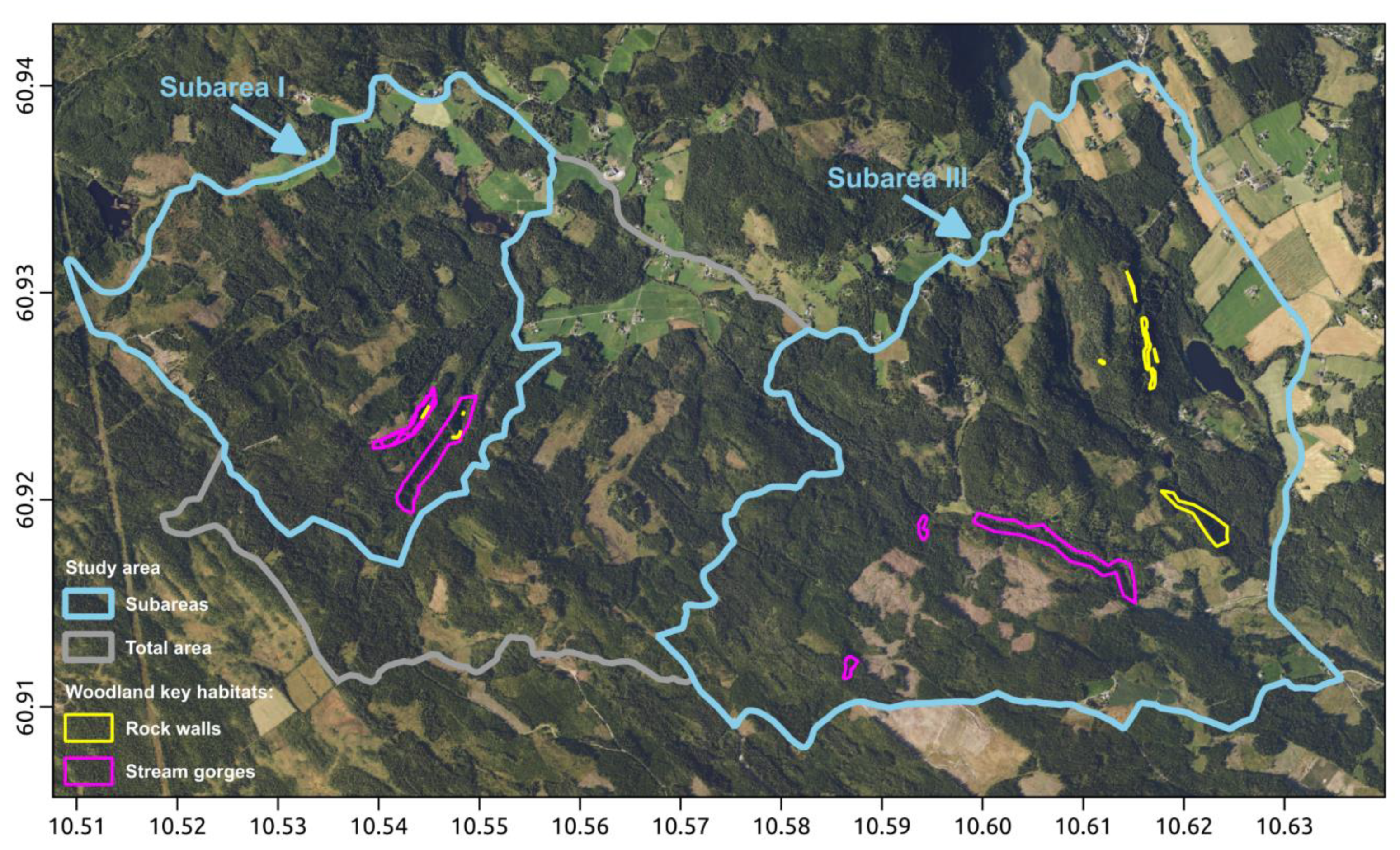
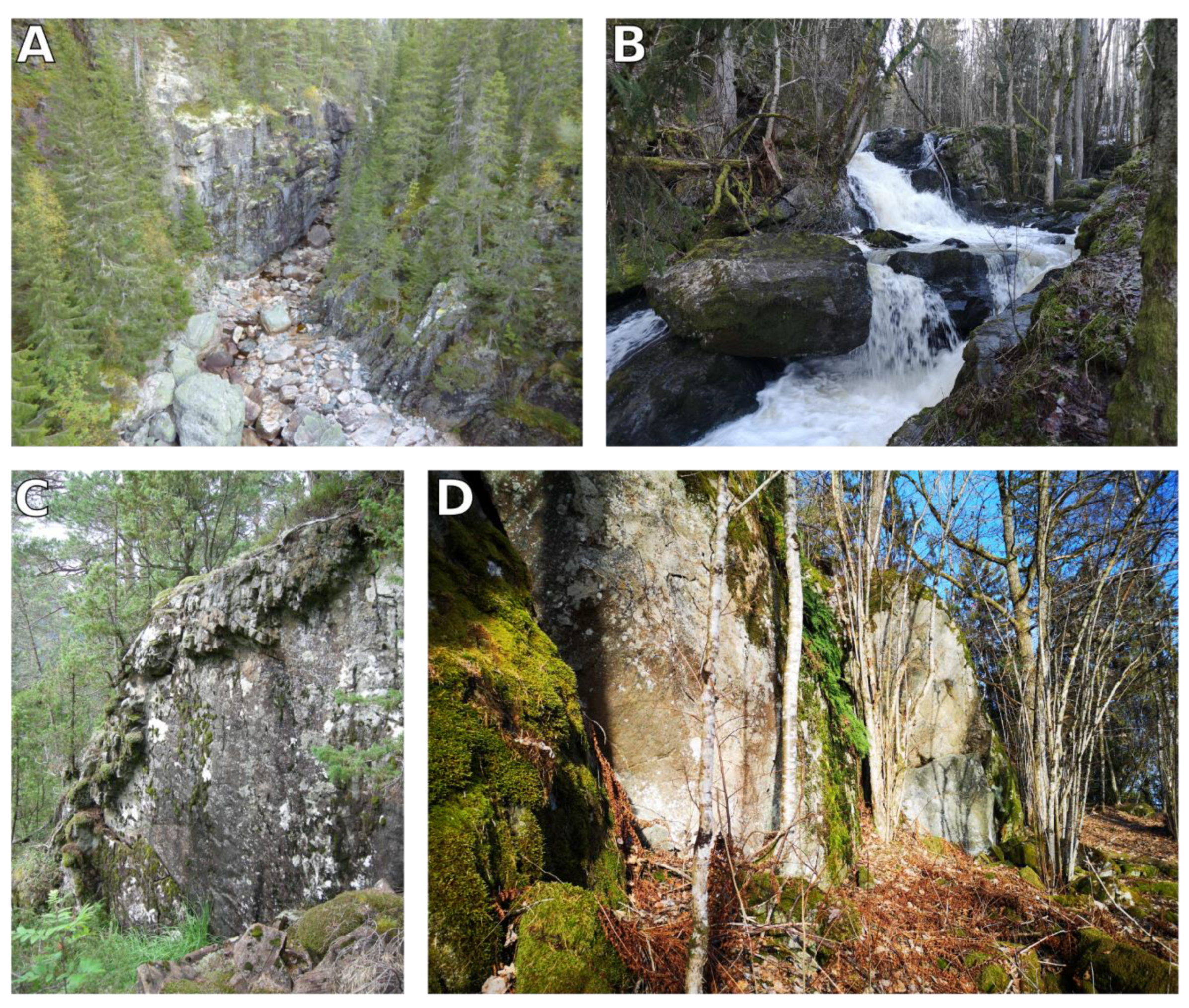
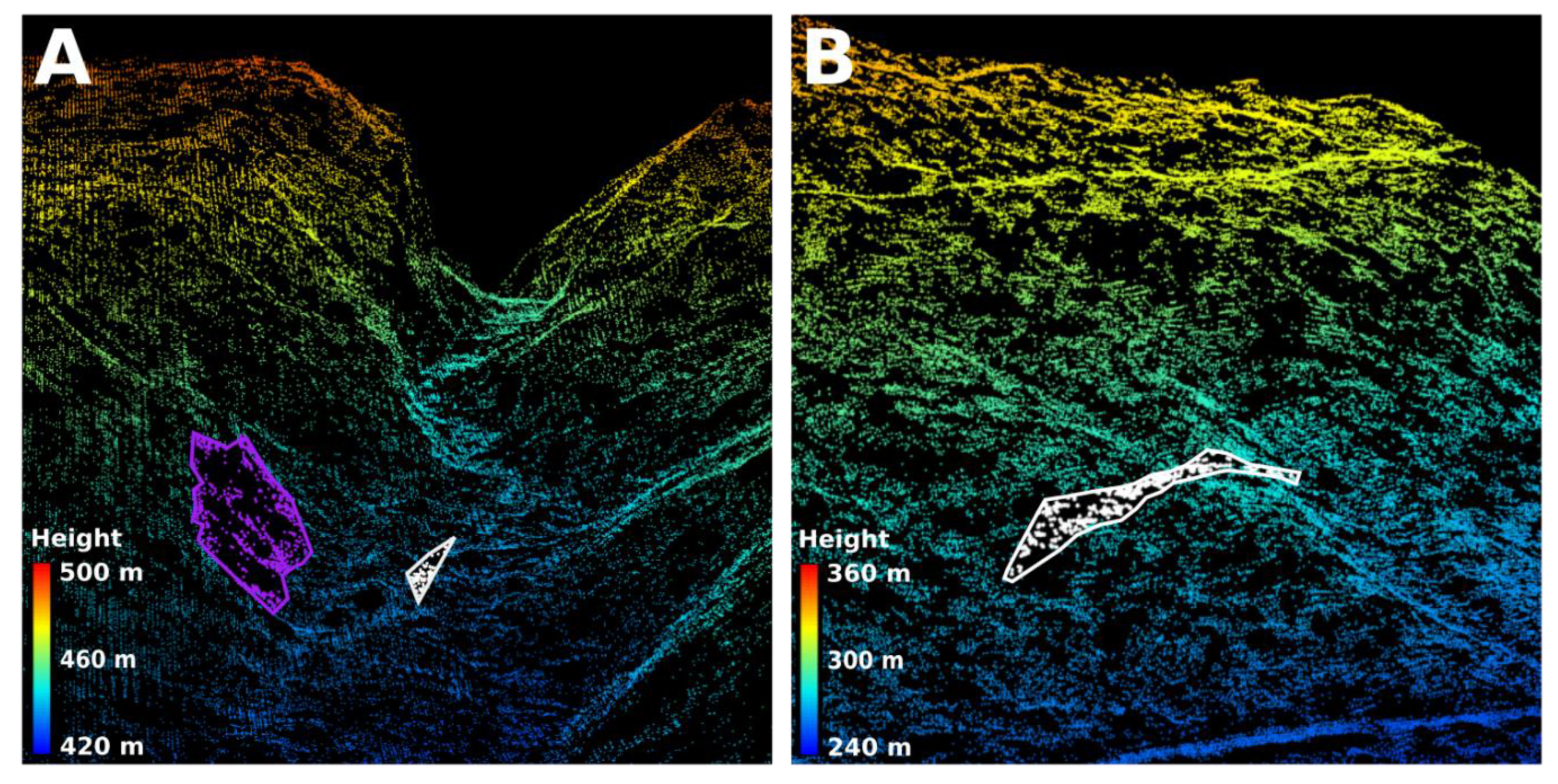
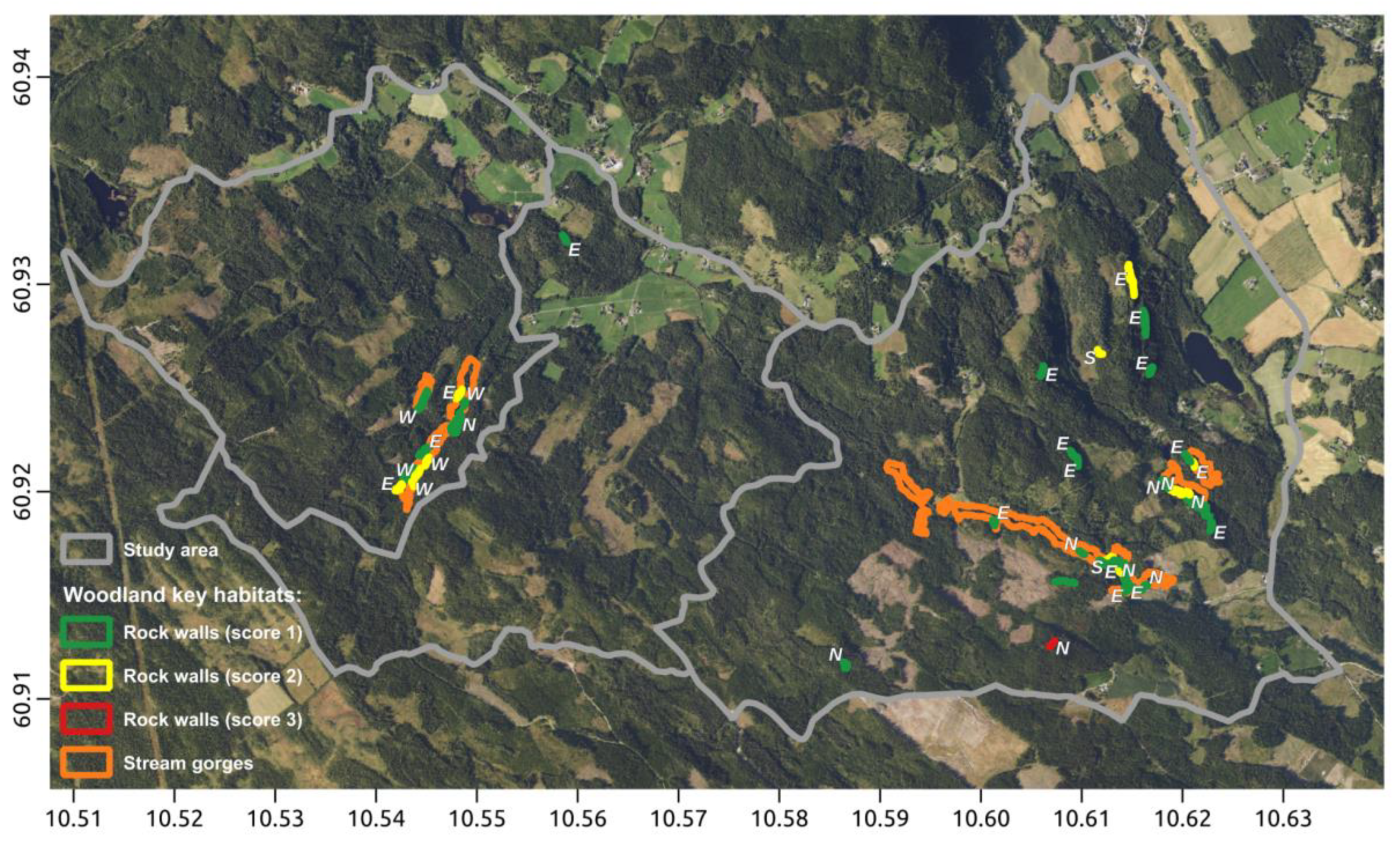
Forest ecosystems provide a range of services and function as habitats for many species. The concept of woodland key habitats (WKH) is important for biodiversity management in forest planning standards and certification schemes. The main idea of the WKH is to preserve biodiversity hotspots in the forest landscape. Current methods used in delineating WKH rely on costly field inventories. Furthermore, it is well known that the surveyor introduces an error because of the subjective assessment. Remote sensing may reduce this error in a cost-efficient way. The current study develops automated methods using airborne laser scanning (ALS) data to delineate geomorphological WKH, i.e., rock walls and stream gorges. The methods were evaluated based on a complete field inventory of WKH in a 1600 ha area in south-eastern Norway. The delineated WKH showed high detection rates, minor omission errors, but high commissions errors. Combining the delineation into a map of potential WKH suitable to guide field surveyors resulted in detecting all field reference WKH, i.e., a detection rate of 100% and a commission error of 25%. It is concluded that a higher degree of automatization might be possible to improve results and increase the efficiency of WKH inventories.
Keywords: remote sensing; airborne laser scanning; three-dimensional data; habitats; biodiversity; geomorphology remote sensing; airborne laser scanning; three-dimensional data; habitats; biodiversity; geomorphology