Article

Quantifying the Effect of River Ice Surface Roughness on Sentinel-1 SAR Backscatter

by
Ross T. Palomaki
1,* and
Eric A. Sproles
1,2
1
Department of Earth Sciences, Montana State University, Bozeman, MT 59717, USA
2
Geospatial Core Facility, Montana State University, Bozeman, MT 59717, USA
*
Author to whom correspondence should be addressed.
Remote Sens. 2022, 14(22), 5644; https://doi.org/10.3390/rs14225644
Submission received: 7 September 2022 / Revised: 28 October 2022 / Accepted: 4 November 2022 / Published: 8 November 2022
(This article belongs to the Special Issue Remote Sensing of the Cryosphere)

Abstract

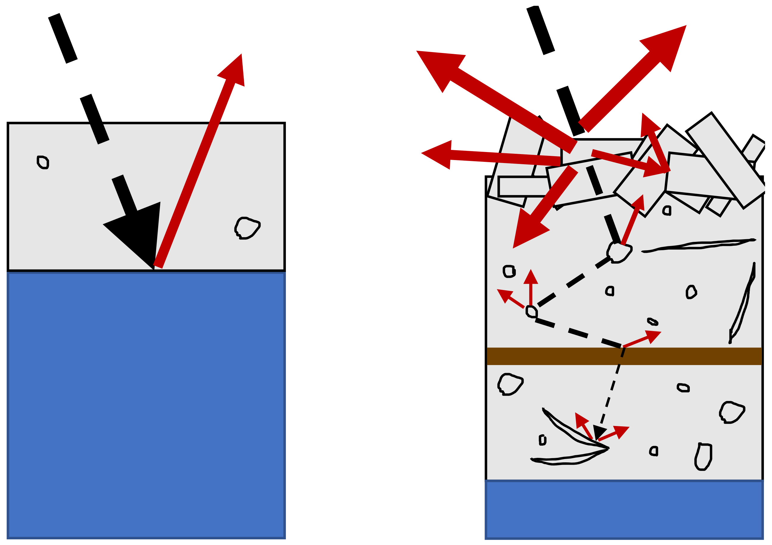
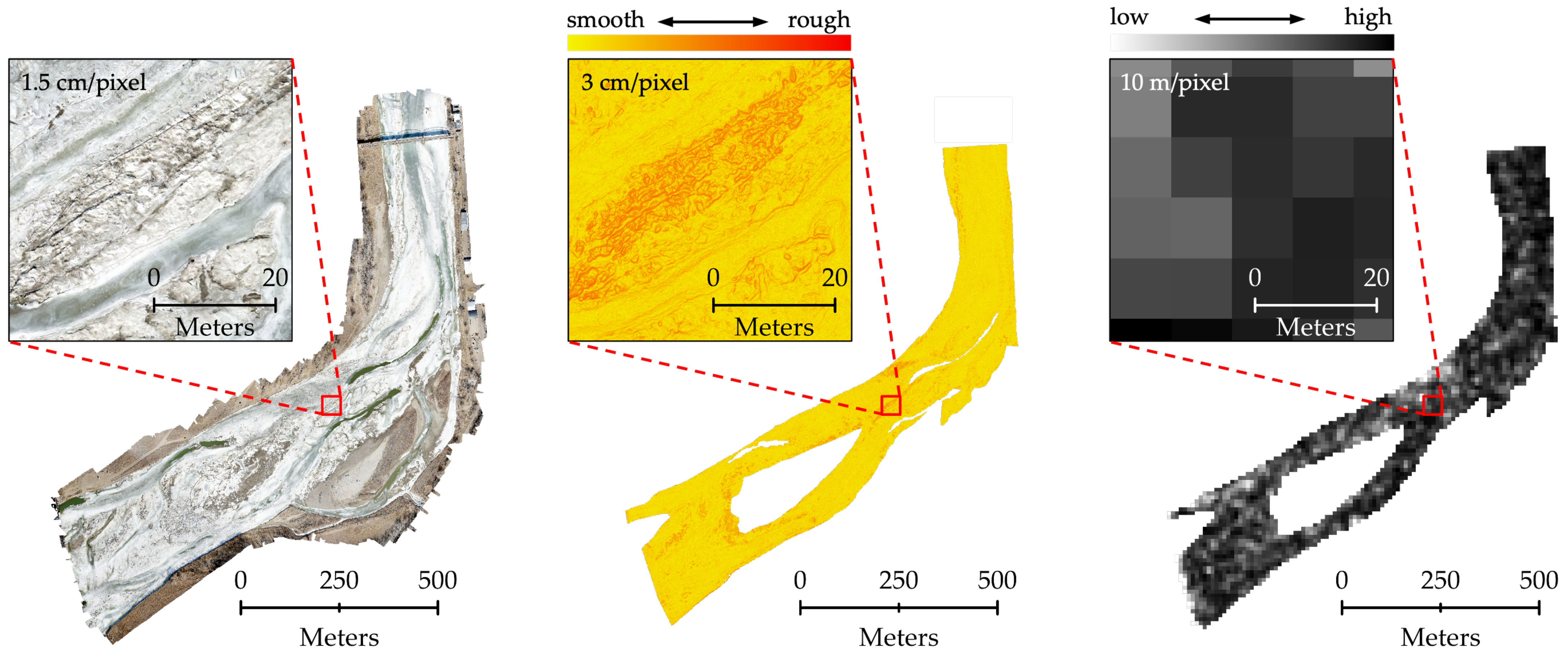
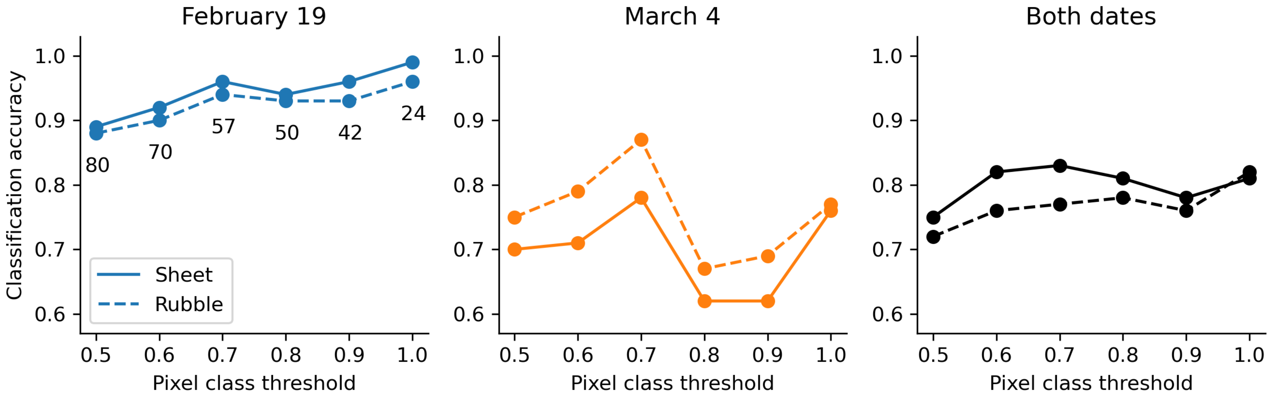
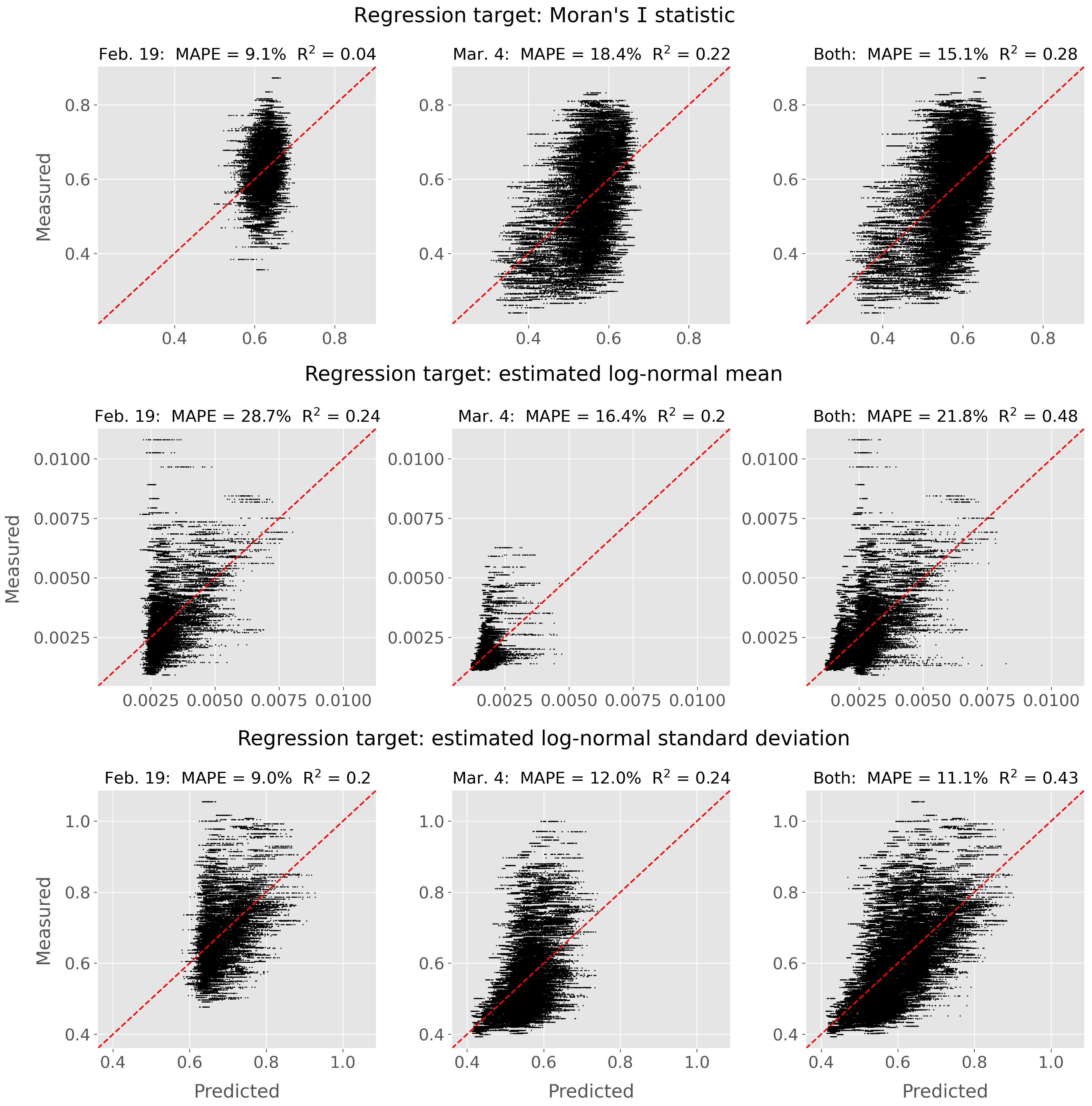
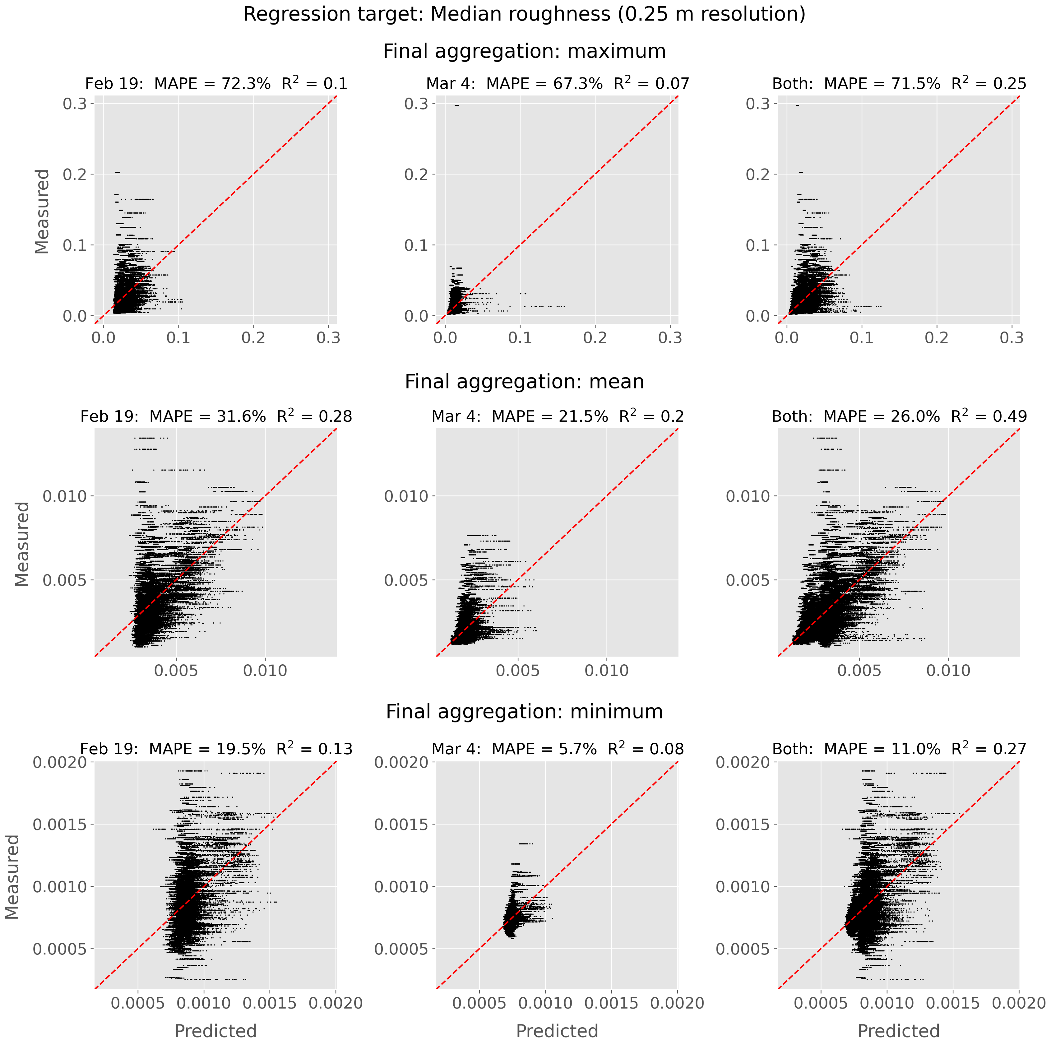
Satellite-based C-band synthetic aperture radar (SAR) imagery is an effective tool to map and monitor river ice on regional scales because the SAR backscatter is affected by various physical properties of the ice, including roughness, thickness, and structure. Validation of SAR-based river ice classification maps is typically performed using expert interpretation of aerial or ground reference images of the river ice surface, using visually apparent changes in surface roughness to delineate different ice classes. Although many studies achieve high classification accuracies using this qualitative technique, it is not possible to determine if the river ice information contained within the SAR backscatter data originates from the changes in surface roughness used to create the validation data, or from some other ice property that may be more relevant for ice jam forecasting. In this study, we present the first systematic, quantitative investigation of the effect of river ice surface roughness on C-band Sentinel-1 backscatter. We use uncrewed aerial vehicle-based Structure from Motion photogrammetry to generate high-resolution (0.03 m) digital elevation models of river ice surfaces, from which we derive measurements of surface roughness. We employ Random Forest models first to repeat previous ice classification studies, and then as regression models to explore quantitative relationships between ice surface roughness and Sentinel-1 backscatter. Classification accuracies are similar to those reported in previous studies (77–96%) but poor regression performance for many surface roughness metrics (5–113% mean absolute percentage errors) indicates a weak relationship between river ice surface roughness and Sentinel-1 backscatter. Additional work is necessary to determine which physical ice properties are strong controls on C-band SAR backscatter.
Keywords: river ice; synthetic aperture radar; Sentinel-1; structure from motion; surface roughness river ice; synthetic aperture radar; Sentinel-1; structure from motion; surface roughness