Article

Airborne Radiometric Surveys and Machine Learning Algorithms for Revealing Soil Texture
by
Andrea Maino
1,2,*,
Matteo Alberi
1,2,
Emiliano Anceschi
3,
Enrico Chiarelli
1,2,
Luca Cicala
4,
Tommaso Colonna
5,
Mario De Cesare
4,6,7,
Enrico Guastaldi
5,
Nicola Lopane
1,5,
Fabio Mantovani
1,2,
Maurizio Marcialis
8,
Nicola Martini
9,
Michele Montuschi
1,2,
Silvia Piccioli
9,
Kassandra Giulia Cristina Raptis
1,2,
Antonio Russo
3,
Filippo Semenza
1,2 and
Virginia Strati
1,2
1
Department of Physics and Earth Sciences, University of Ferrara, 44122 Ferrara, Italy
2
INFN Ferrara Section, 44122 Ferrara, Italy
3
Gruppo Filippetti Sede Falconara Marittima, 60015 Falconara Marittima, Ancona, Italy
4
CIRA, Italian Aerospace Research Centre, 81043 Capua, Caserta, Italy
5
GeoExplorer Impresa Sociale s.r.l., 52100 Arezzo, Italy
6
Department of Mathematics and Physics, University of Campania “Luigi Vanvitelli”, 81100 Caserta, Italy
7
INFN Napoli Section, Complesso Universitario di Monte S. Angelo, 80126 Napoli, Italy
8
Corso Giuseppe Garibaldi 119, Comacchio, 44022 Ferrara, Italy
9
Le Due Valli s.r.l., Ostellato, 44020 Ferrara, Italy
*
Author to whom correspondence should be addressed.
Remote Sens. 2022, 14(15), 3814; https://doi.org/10.3390/rs14153814
Submission received: 23 June 2022 / Revised: 2 August 2022 / Accepted: 3 August 2022 / Published: 8 August 2022
(This article belongs to the Special Issue Topsoil Characterization by Means of Remote Sensing)

Abstract

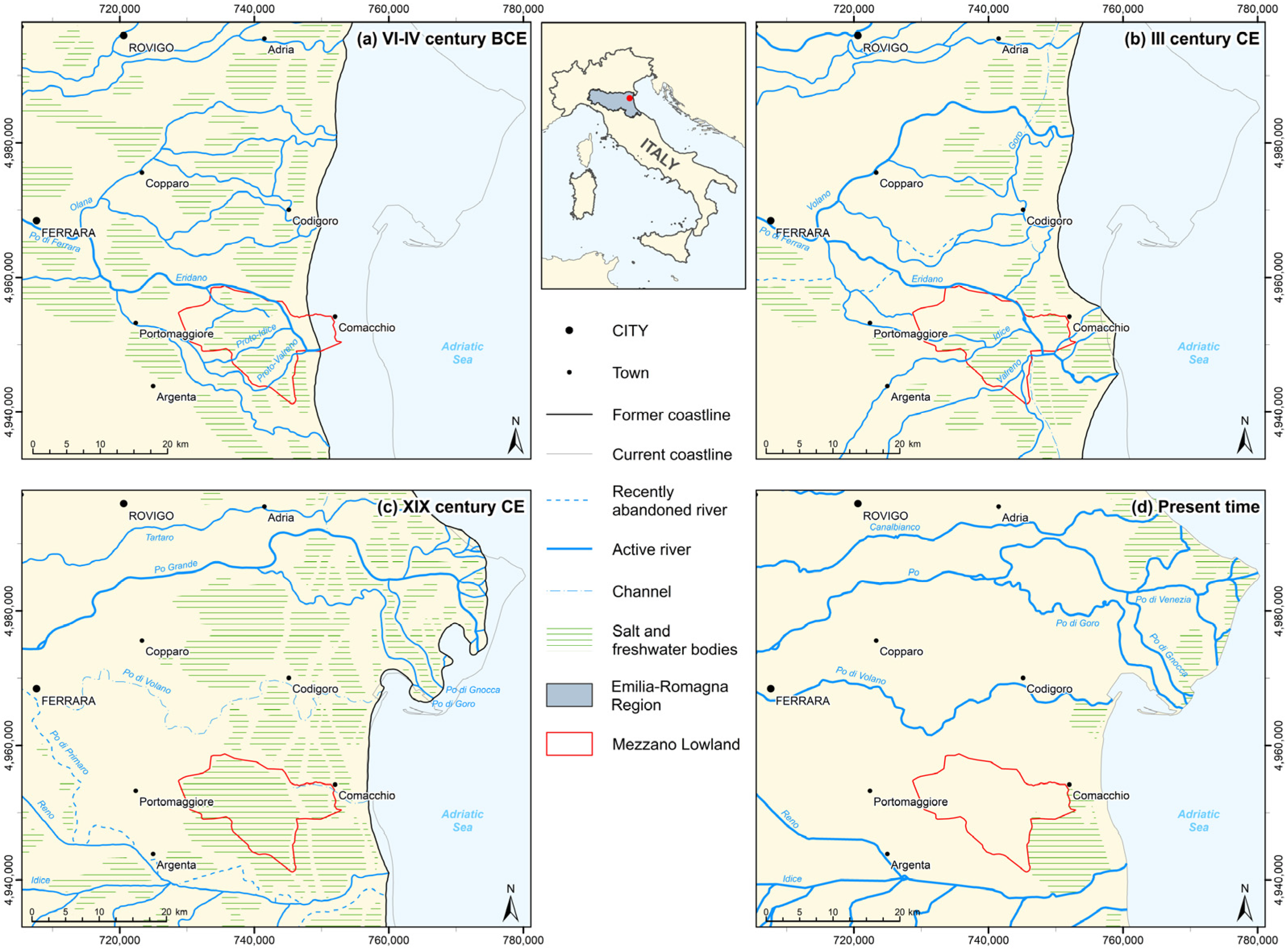
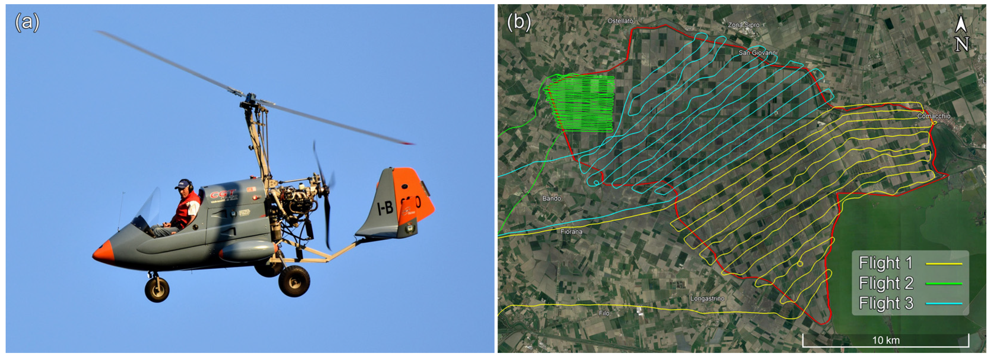
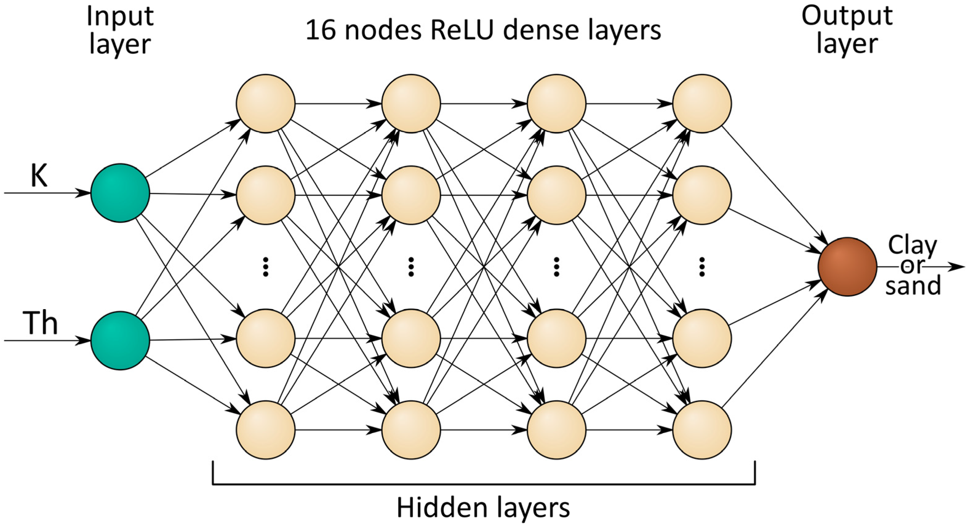
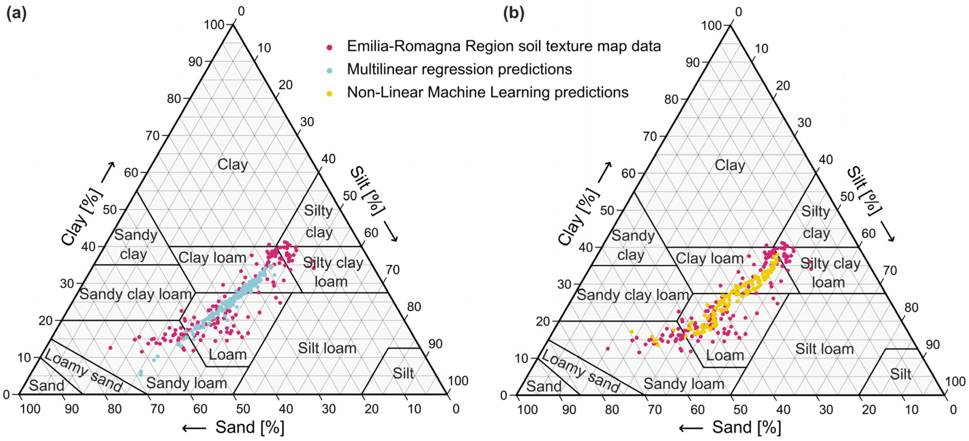
Soil texture is key information in agriculture for improving soil knowledge and crop performance, so the accurate mapping of this crucial feature is imperative for rationally planning cultivations and for targeting interventions. We studied the relationship between radioelements and soil texture in the Mezzano Lowland (Italy), a 189 km2 agricultural plain investigated through a dedicated airborne gamma-ray spectroscopy survey. The K and Th abundances were used to retrieve the clay and sand content by means of a multi-approach method. Linear (simple and multiple) and non-linear (machine learning algorithms with deep neural networks) predictive models were trained and tested adopting a 1:50,000 scale soil texture map. The comparison of these approaches highlighted that the non-linear model introduces significant improvements in the prediction of soil texture fractions. The predicted maps of the clay and of the sand content were compared with the regional soil maps. Although the macro-structures were equally present, the airborne gamma-ray data permits us shedding light on finer features. Map areas with higher clay content were coincident with paleo-channels crossing the Mezzano Lowland in Etruscan and Roman periods, confirmed by the hydrographic setting of historical maps and by the geo-morphological features of the study area.
Keywords: airborne gamma-ray spectroscopy; non-linear machine learning; potassium; clay; thorium; sand; soil texture; paleo-hydrography airborne gamma-ray spectroscopy; non-linear machine learning; potassium; clay; thorium; sand; soil texture; paleo-hydrography