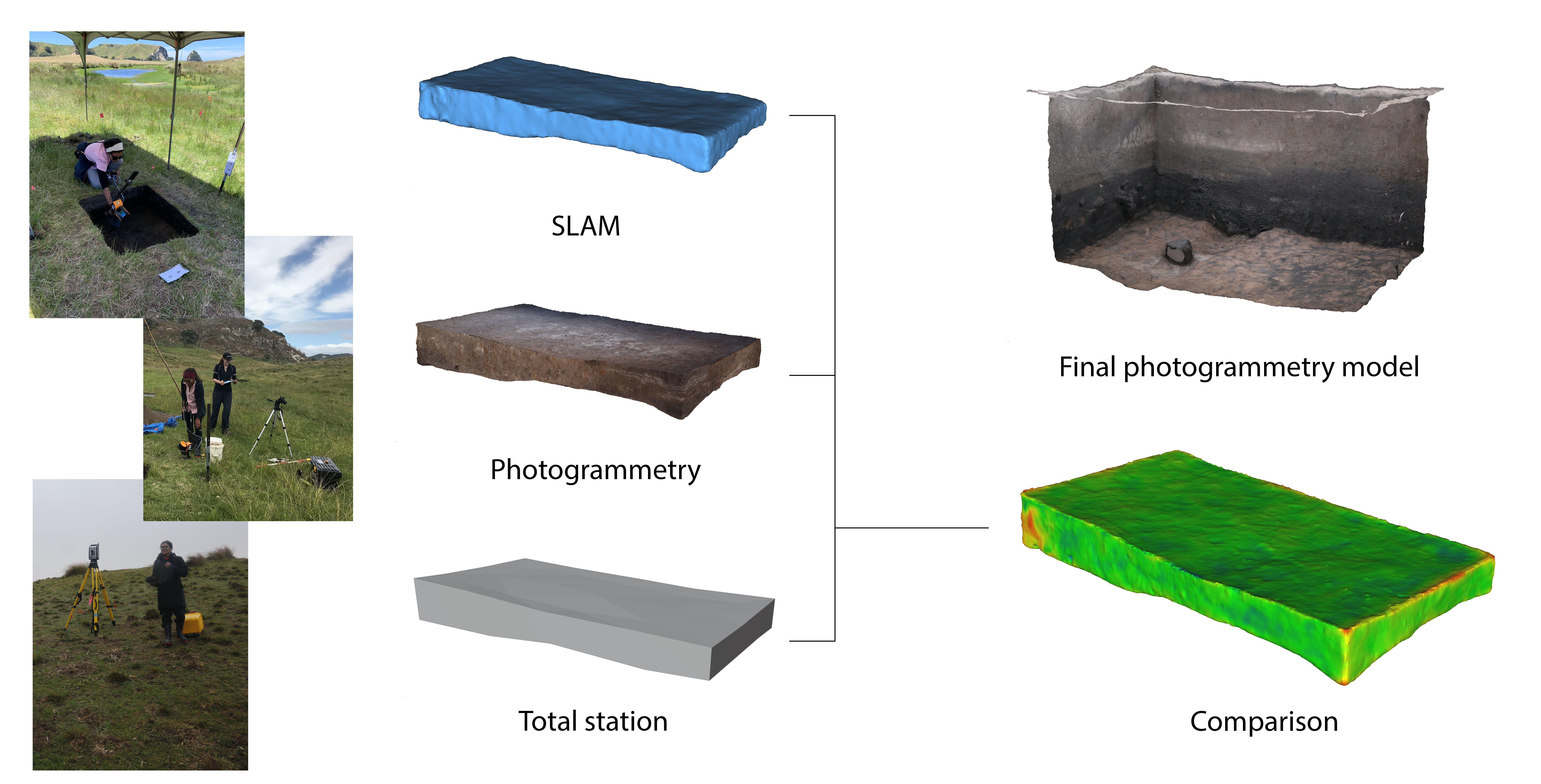
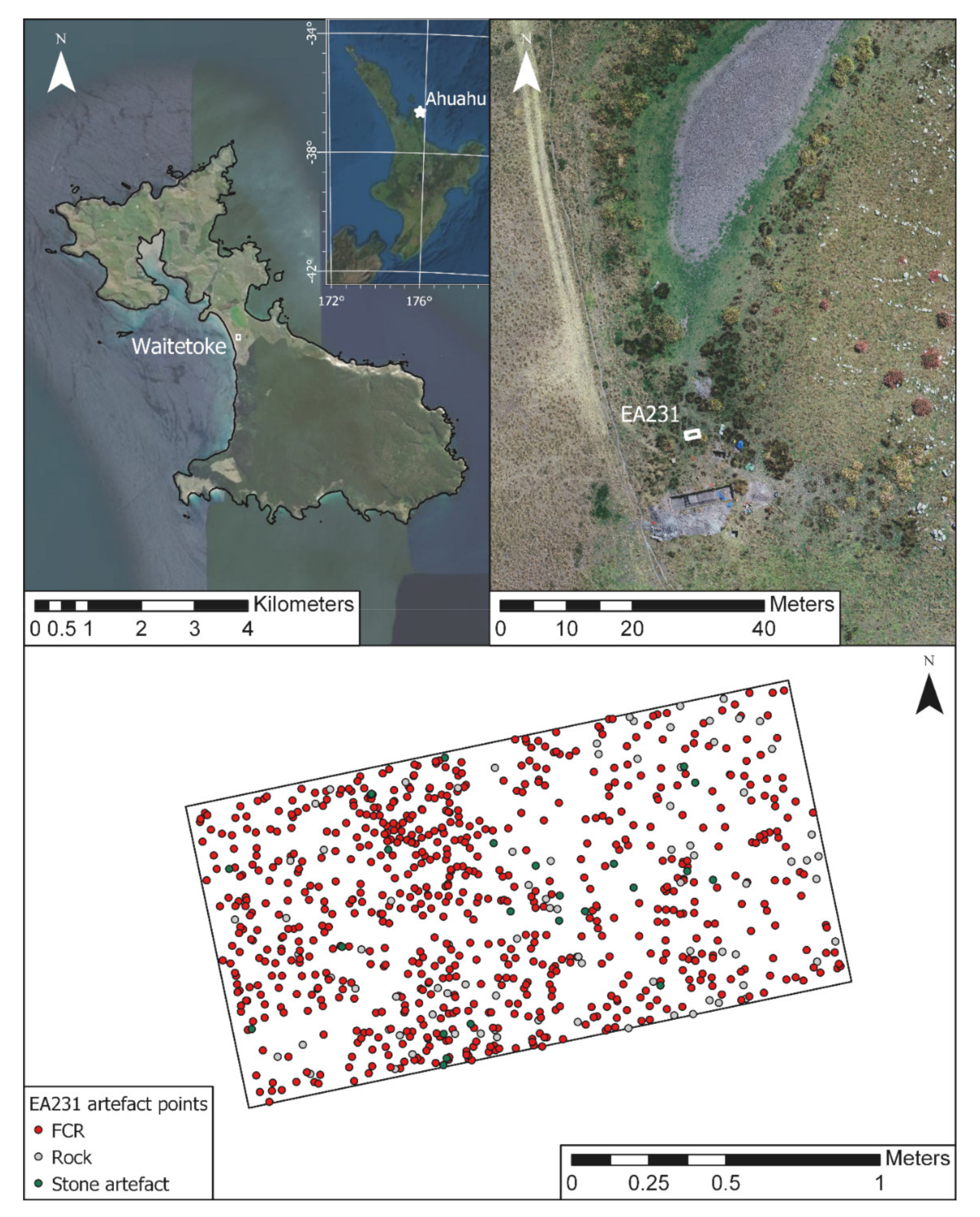
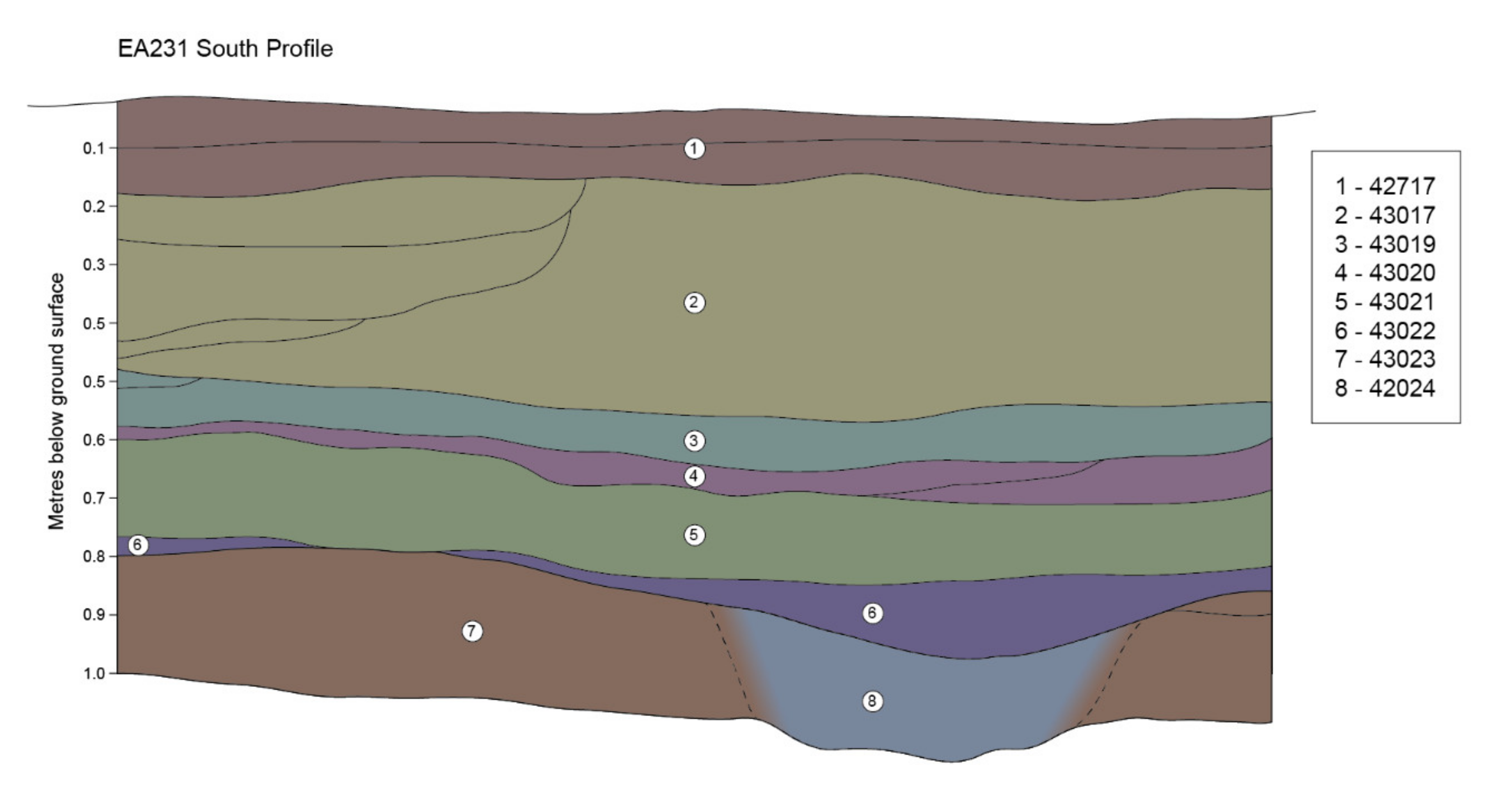
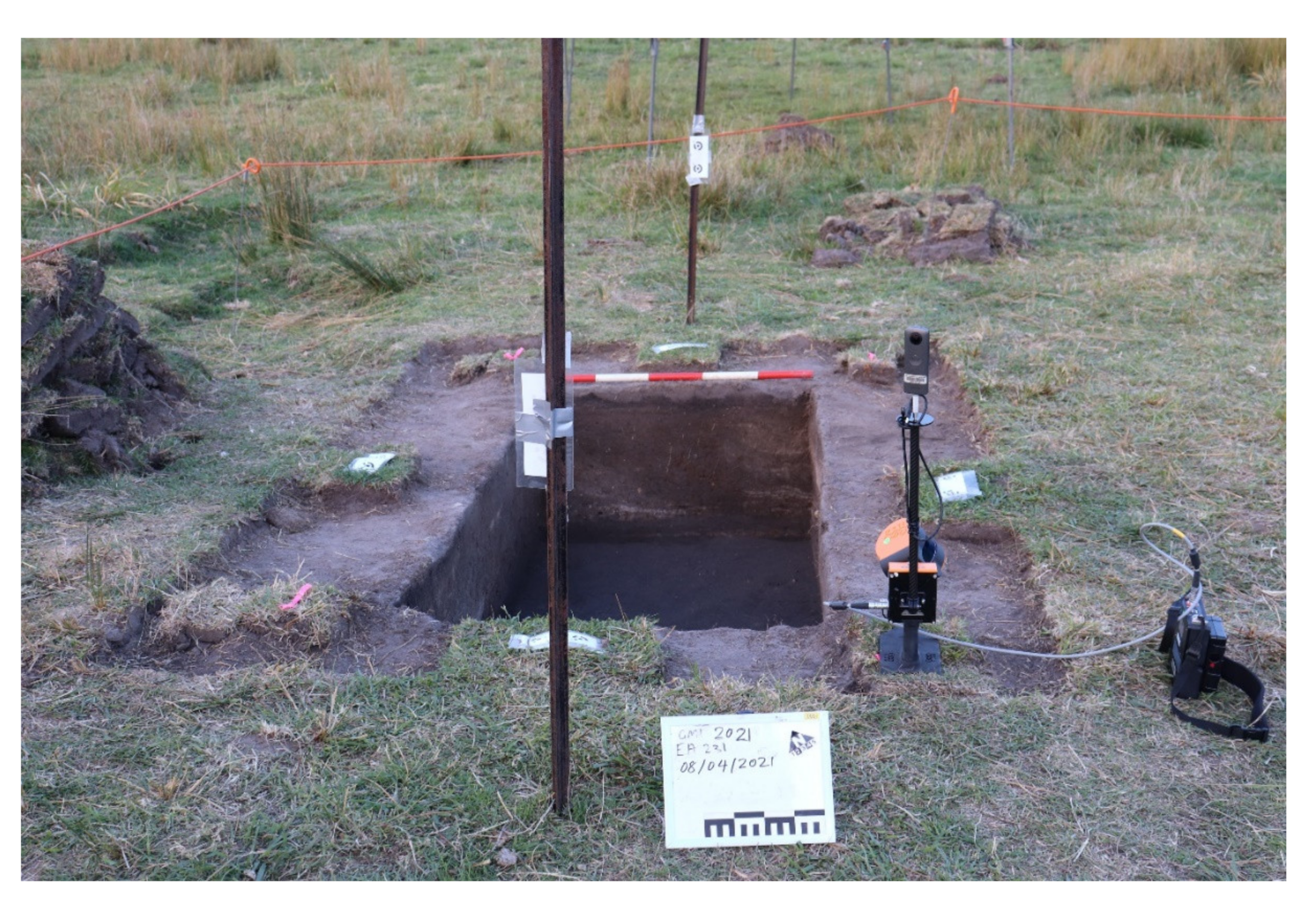
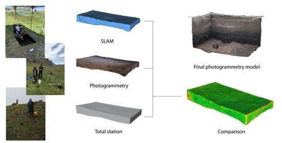
A Comparison of Volumetric Reconstruction Methods of Archaeological Deposits Using Point-Cloud Data from Ahuahu, Aotearoa New Zealand
 , ,
, , Abstract
Share and Cite
Emmitt, J.; Pillay, P.; Barrett, M.; Middleton, S.; Mackrell, T.; Floyd, B.; Ladefoged, T.N. A Comparison of Volumetric Reconstruction Methods of Archaeological Deposits Using Point-Cloud Data from Ahuahu, Aotearoa New Zealand. Remote Sens. 2021, 13, 4015. https://doi.org/10.3390/rs13194015
Emmitt J, Pillay P, Barrett M, Middleton S, Mackrell T, Floyd B, Ladefoged TN. A Comparison of Volumetric Reconstruction Methods of Archaeological Deposits Using Point-Cloud Data from Ahuahu, Aotearoa New Zealand. Remote Sensing. 2021; 13(19):4015. https://doi.org/10.3390/rs13194015
Chicago/Turabian StyleEmmitt, Joshua, Patricia Pillay, Matthew Barrett, Stacey Middleton, Timothy Mackrell, Bruce Floyd, and Thegn N. Ladefoged. 2021. "A Comparison of Volumetric Reconstruction Methods of Archaeological Deposits Using Point-Cloud Data from Ahuahu, Aotearoa New Zealand" Remote Sensing 13, no. 19: 4015. https://doi.org/10.3390/rs13194015
APA StyleEmmitt, J., Pillay, P., Barrett, M., Middleton, S., Mackrell, T., Floyd, B., & Ladefoged, T. N. (2021). A Comparison of Volumetric Reconstruction Methods of Archaeological Deposits Using Point-Cloud Data from Ahuahu, Aotearoa New Zealand. Remote Sensing, 13(19), 4015. https://doi.org/10.3390/rs13194015