Article

Application of a Novel Hybrid Method for Flood Susceptibility Mapping with Satellite Images: A Case Study of Seoul, Korea
Department of Civil Engineering, Chung-Ang University, Seoul 06974, Korea
*
Author to whom correspondence should be addressed.
Remote Sens. 2021, 13(14), 2786; https://doi.org/10.3390/rs13142786
Submission received: 10 June 2021 / Revised: 9 July 2021 / Accepted: 10 July 2021 / Published: 15 July 2021
(This article belongs to the Special Issue Measurement of Hydrologic Variables with Remote Sensing)

Abstract

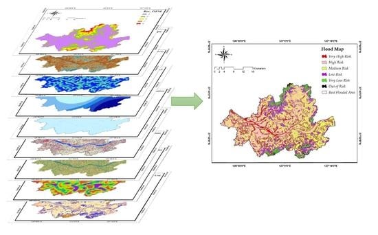
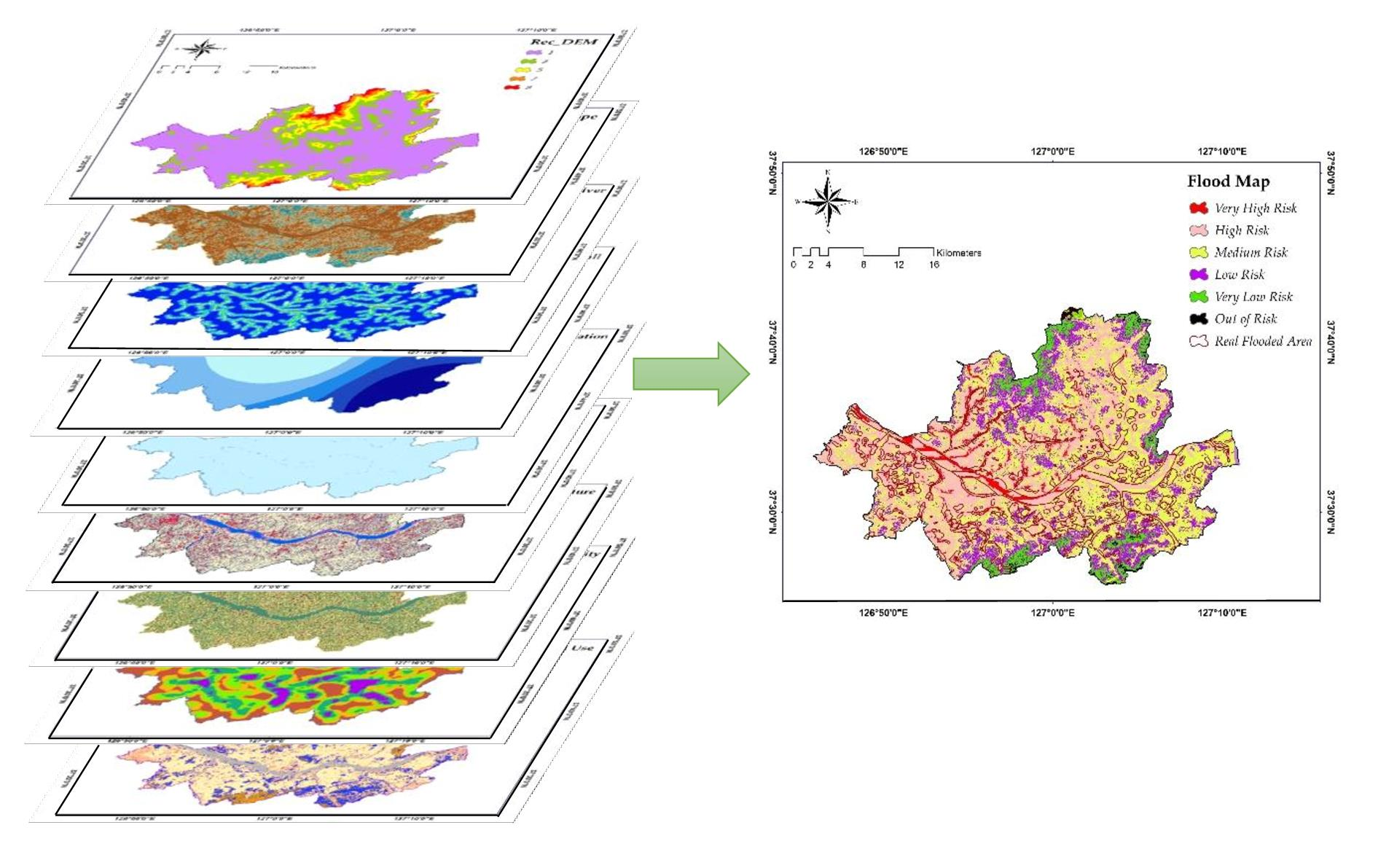
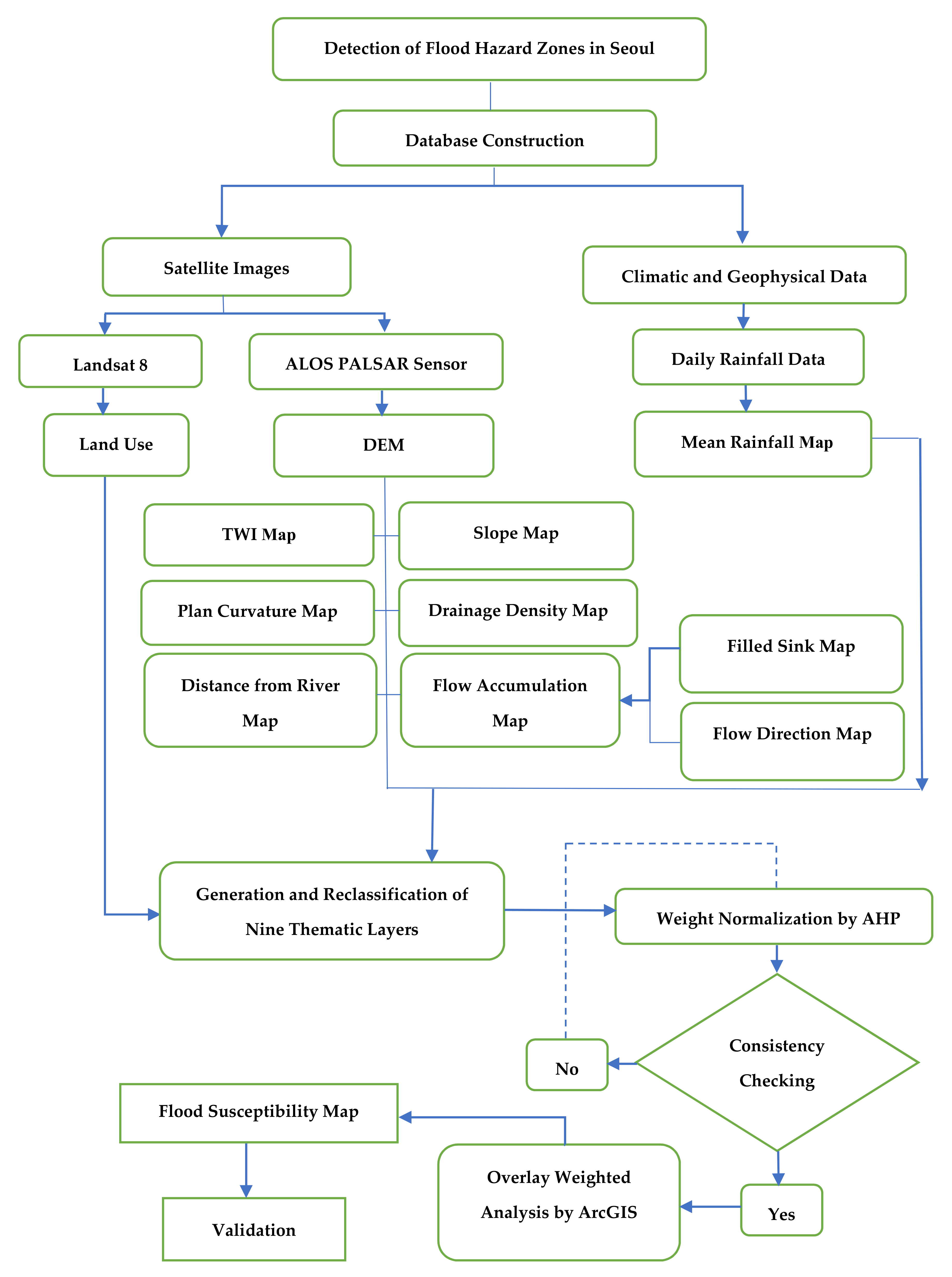
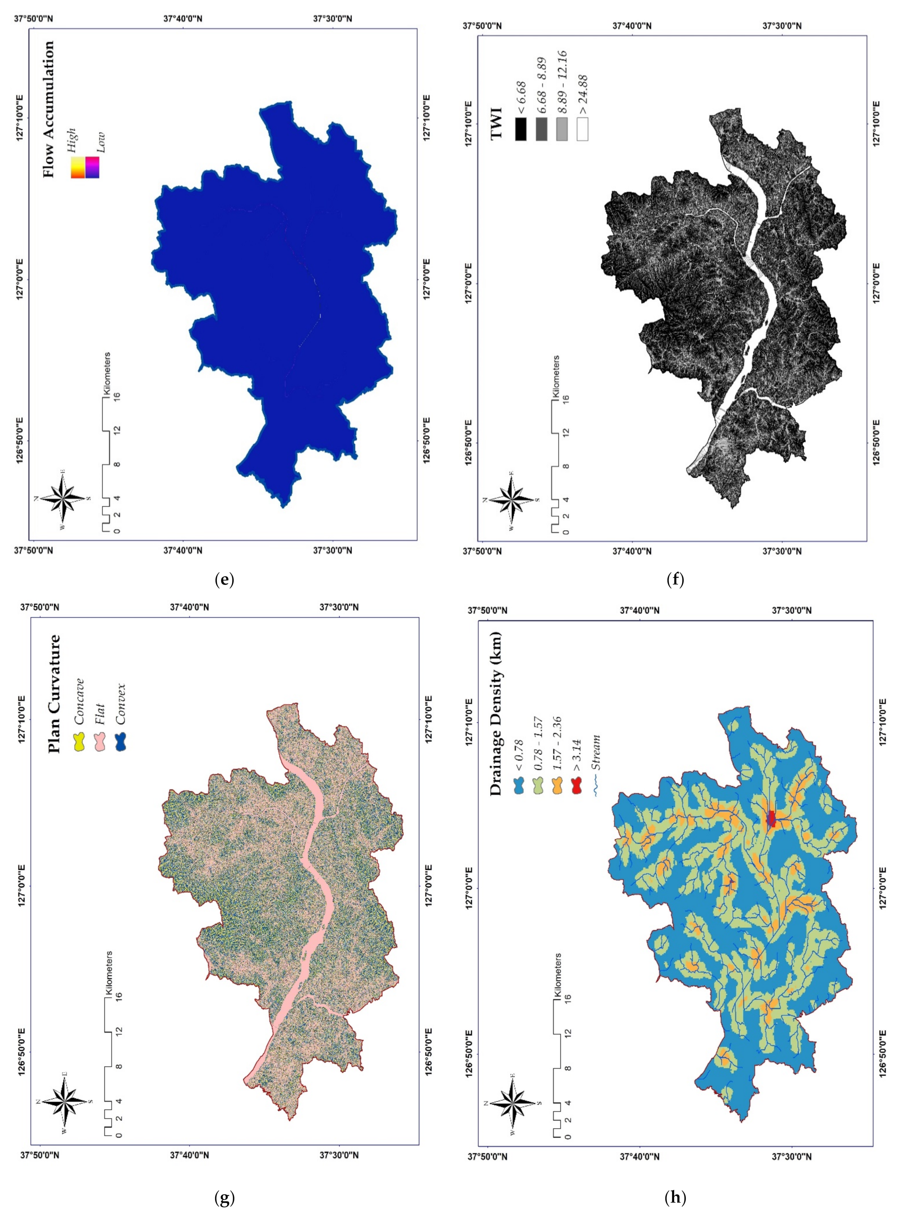
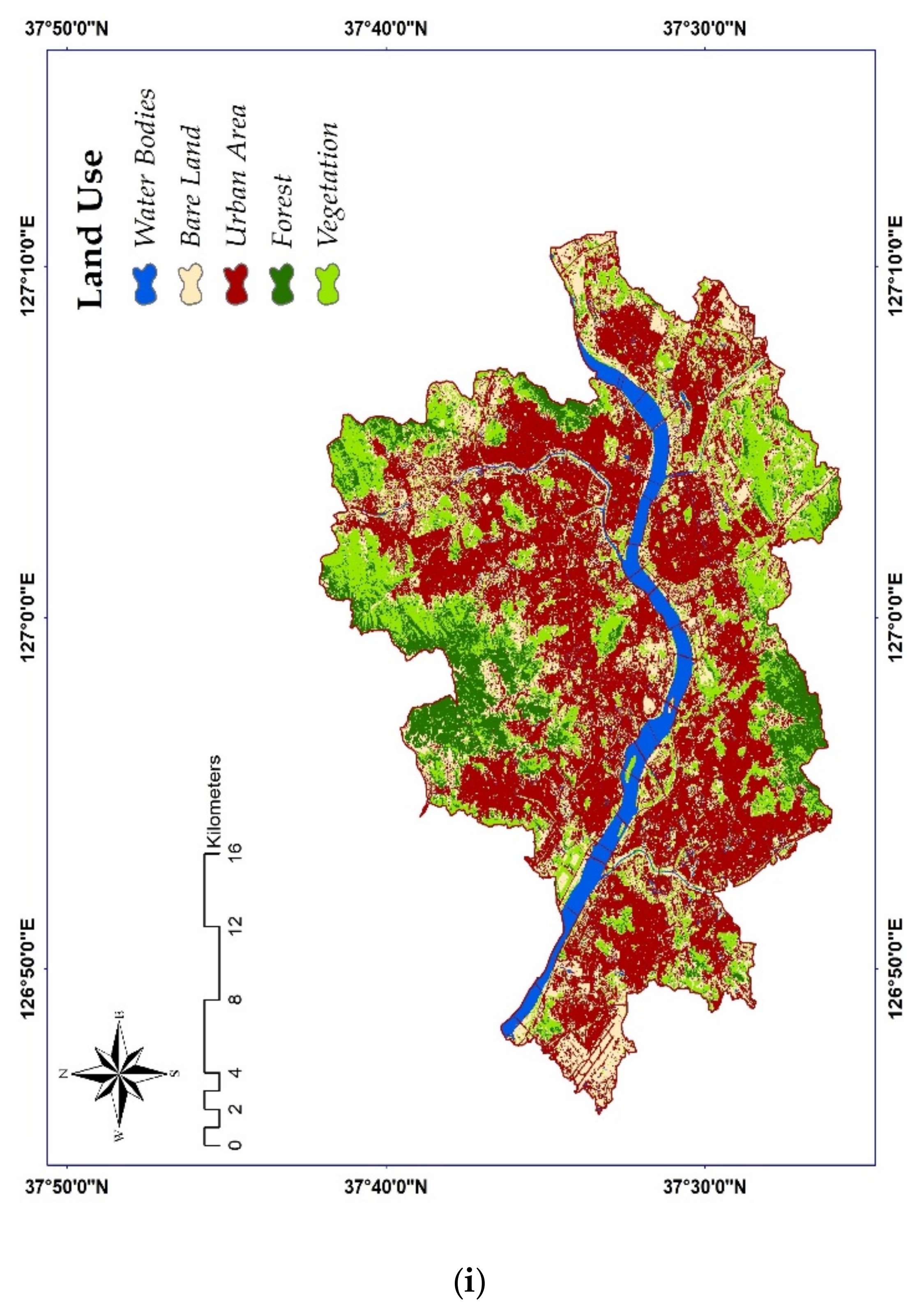
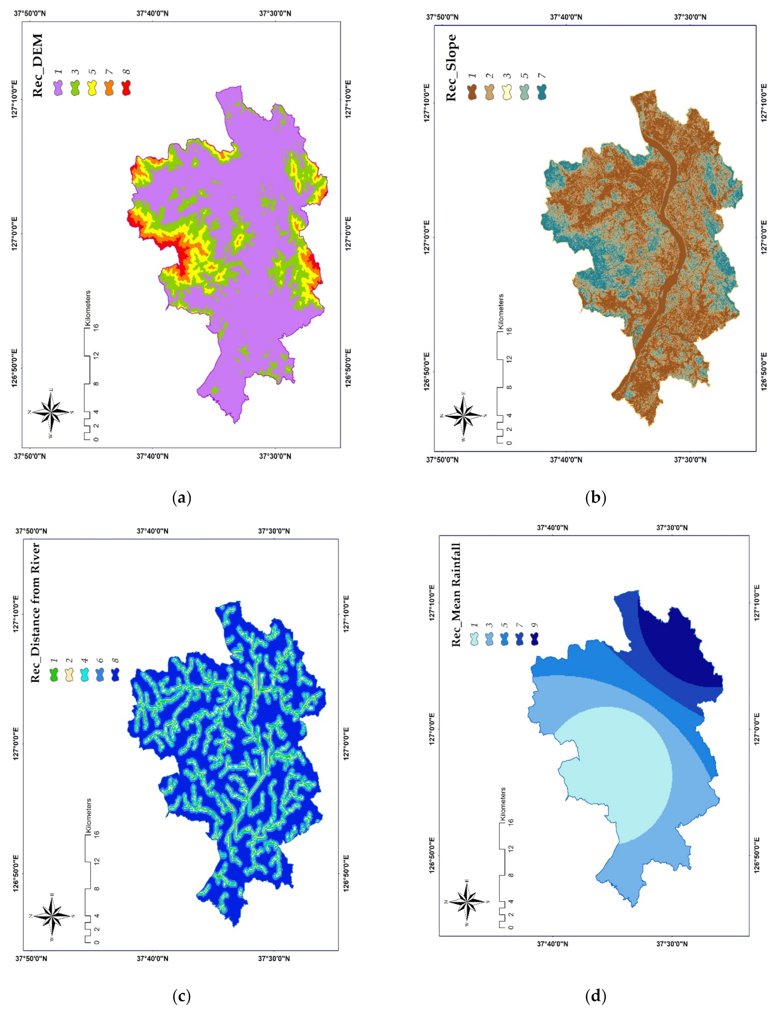
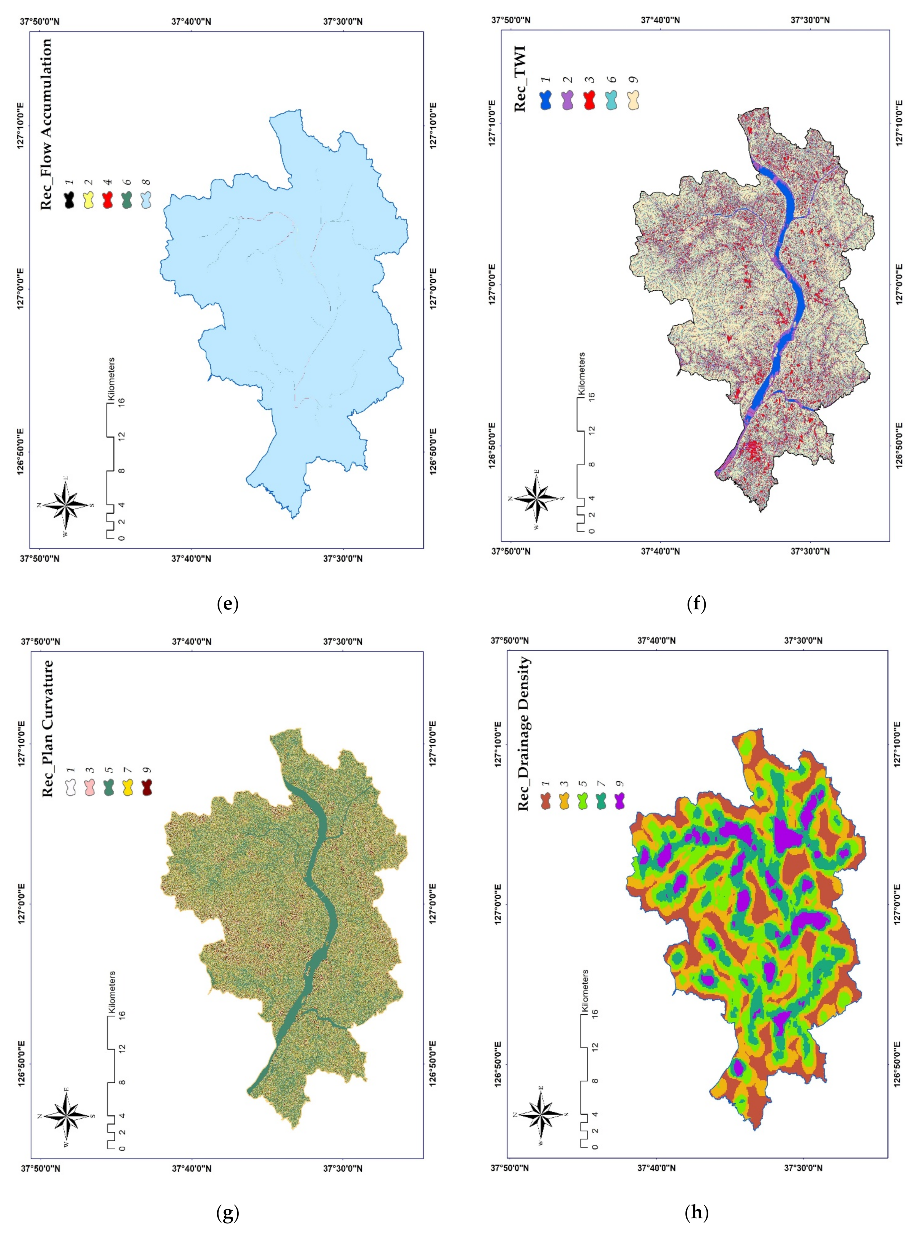
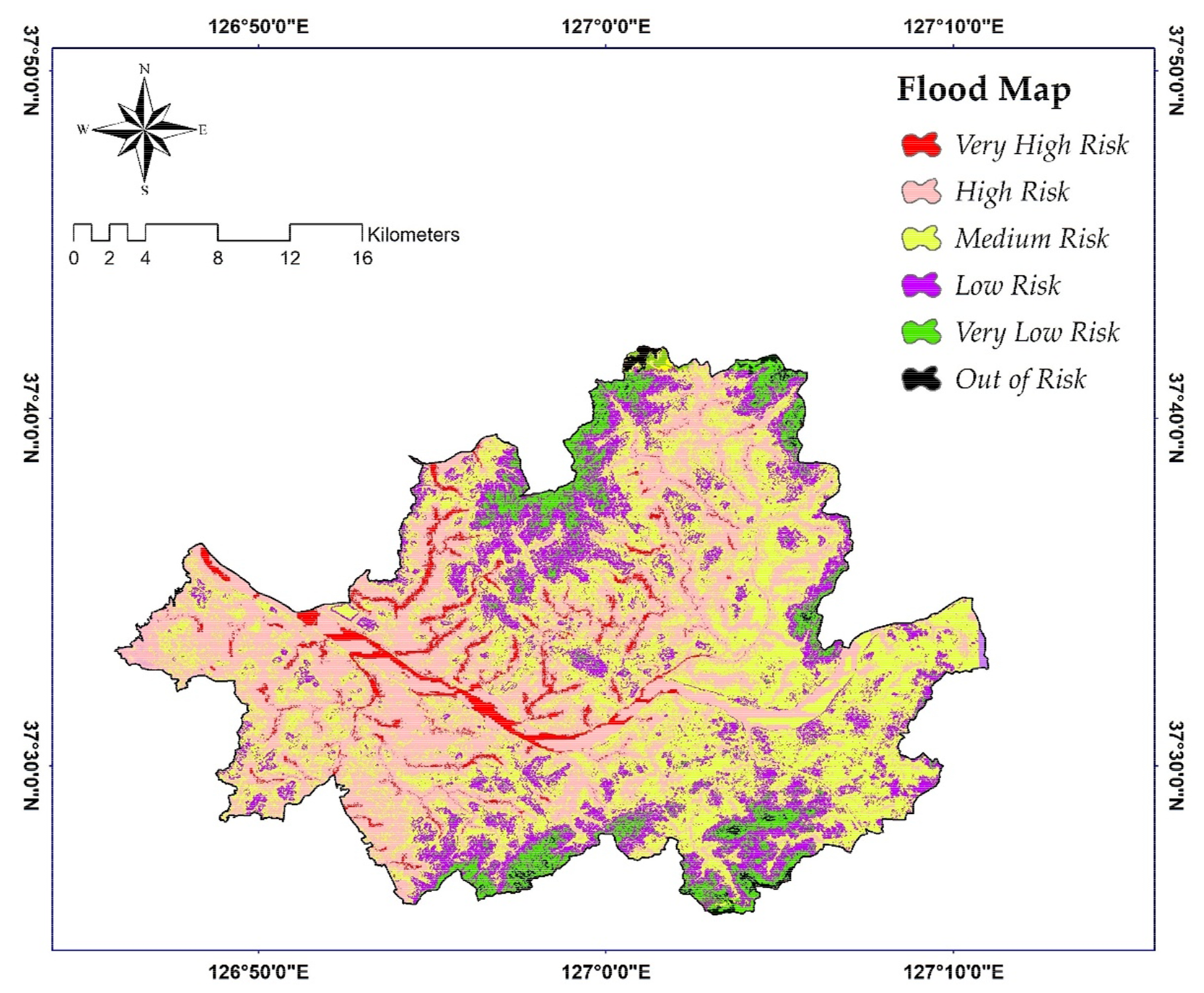
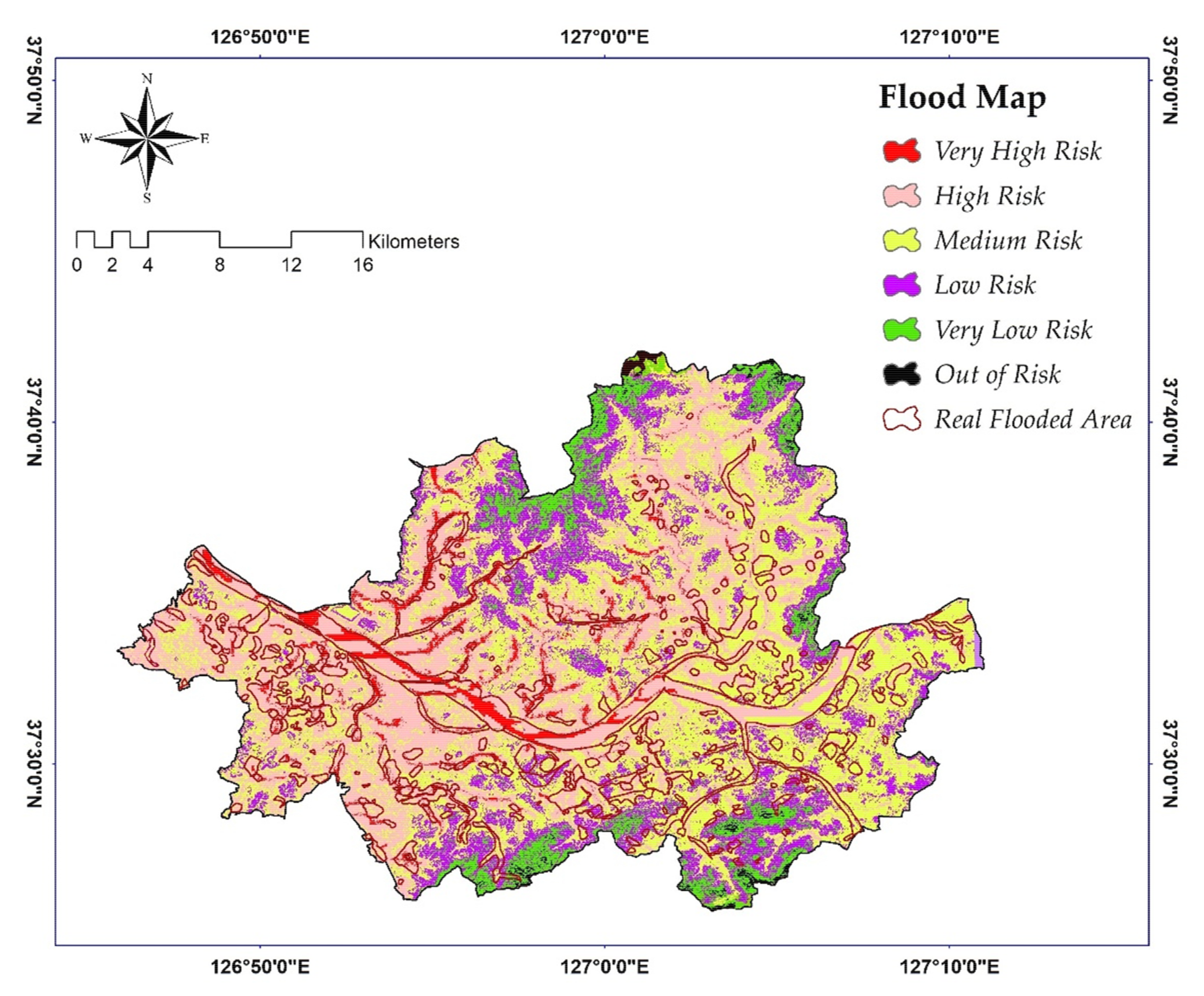
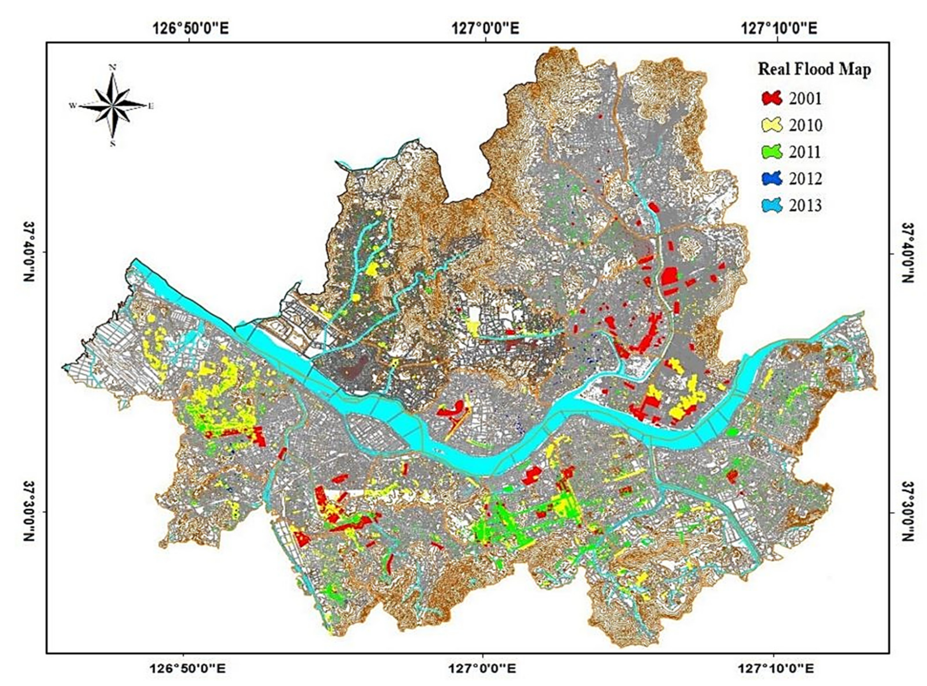
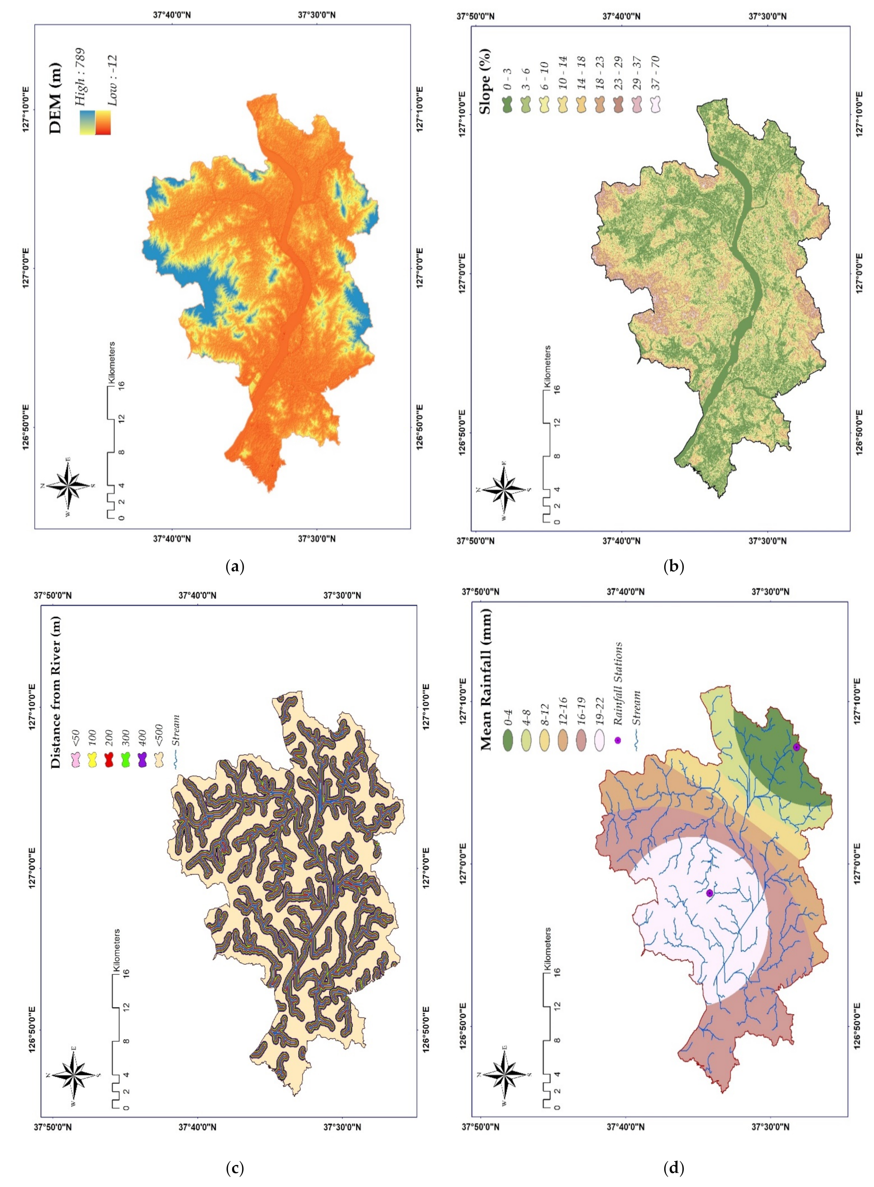
This paper proposes a novel hybrid method for flood susceptibility mapping using a geographic information system (ArcGIS) and satellite images based on the analytical hierarchy process (AHP). Here, the following nine multisource environmental controlling factors influencing flood susceptibility were considered for relative weight estimation in AHP: elevation, land use, slope, topographic wetness index, curvature, river distance, flow accumulation, drainage density, and rainfall. The weight for each factor was determined from AHP and analyzed to investigate critical regions that are more vulnerable to floods using the overlay weighted sum technique to integrate the nine layers. As a case study, the ArcGIS-based framework was applied in Seoul to obtain a flood susceptibility map, which was categorized into six regions (very high risk, high risk, medium risk, low risk, very low risk, and out of risk). Finally, the flood map was verified using real flood maps from the previous five years to test the model’s effectiveness. The flood map indicated that 40% of the area shows high flood risk and thus requires urgent attention, which was confirmed by the validation results. Planners and regulatory bodies can use flood maps to control and mitigate flood incidents along rivers. Even though the methodology used in this study is simple, it has a high level of accuracy and can be applied for flood mapping in most regions where the required datasets are available. This is the first study to apply high-resolution basic maps (12.5 m) to extract the nine controlling factors using only satellite images and ArcGIS to produce a suitable flood map in Seoul for better management in the near future.
Keywords: flood susceptibility mapping; ArcGIS; AHP; satellite image; controlling factor flood susceptibility mapping; ArcGIS; AHP; satellite image; controlling factor
Graphical Abstract