Article

FSRSS-Net: High-Resolution Mapping of Buildings from Middle-Resolution Satellite Images Using a Super-Resolution Semantic Segmentation Network
1
State Key Laboratory of Remote Sensing Science, Faculty of Geographical Science, Beijing Normal University, Beijing 100875, China
2
Chongqing Geographic Information and Remote Sensing Application Center, Chongqing 401121, China
3
Beijing Key Laboratory for Remote Sensing of Environment and Digital Cities, Faculty of Geographical Science, Beijing Normal University, Beijing 100875, China
*
Author to whom correspondence should be addressed.
Remote Sens. 2021, 13(12), 2290; https://doi.org/10.3390/rs13122290
Submission received: 17 May 2021 / Revised: 29 May 2021 / Accepted: 8 June 2021 / Published: 11 June 2021
(This article belongs to the Special Issue Remote Sensing for Urban Development and Sustainability)

Abstract

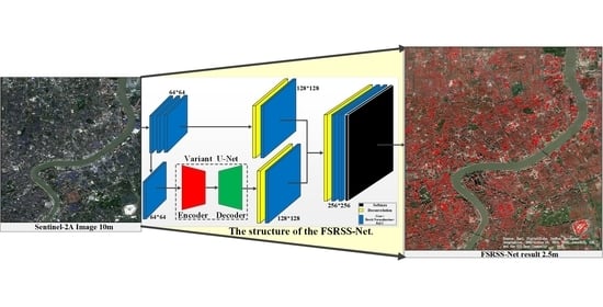
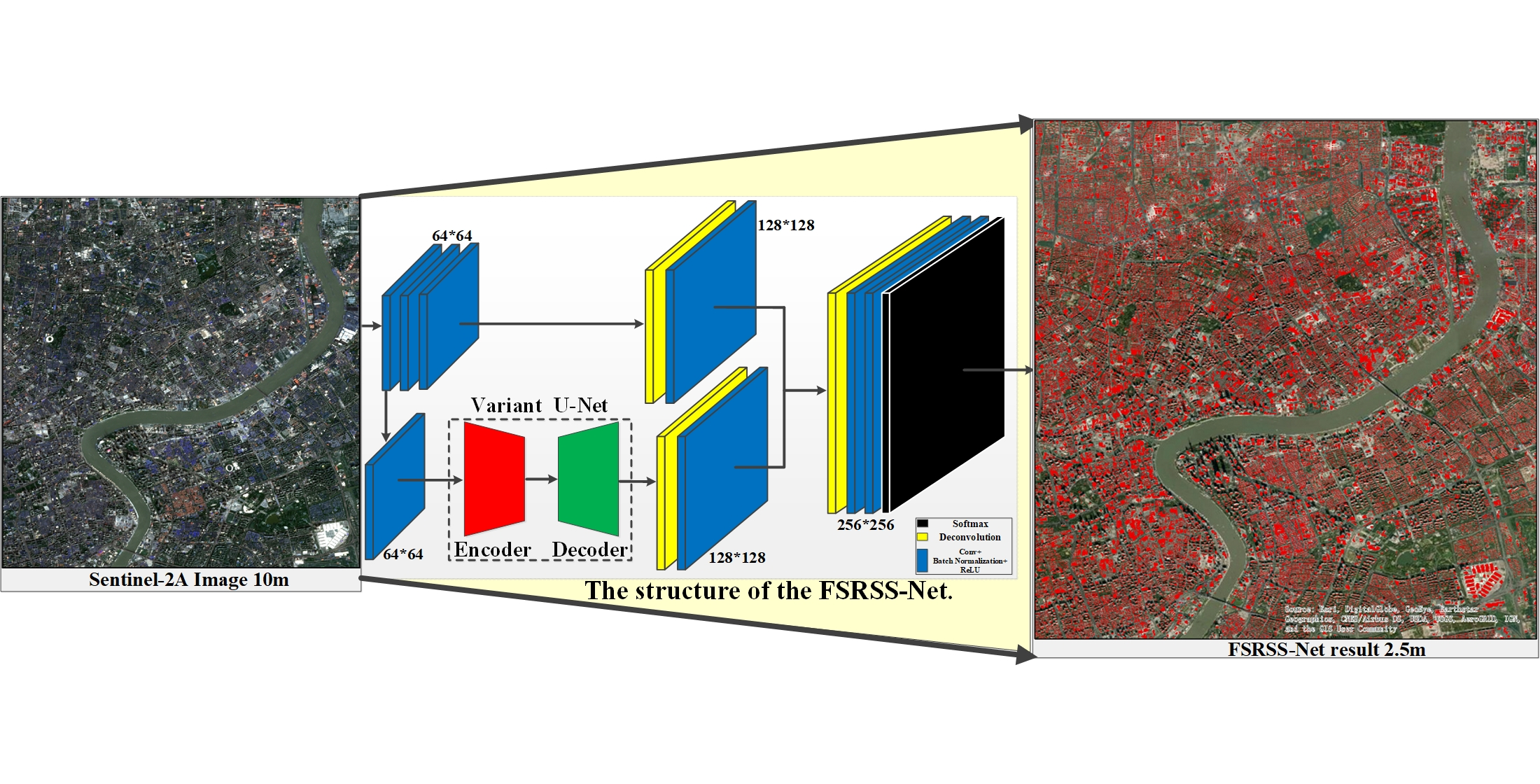
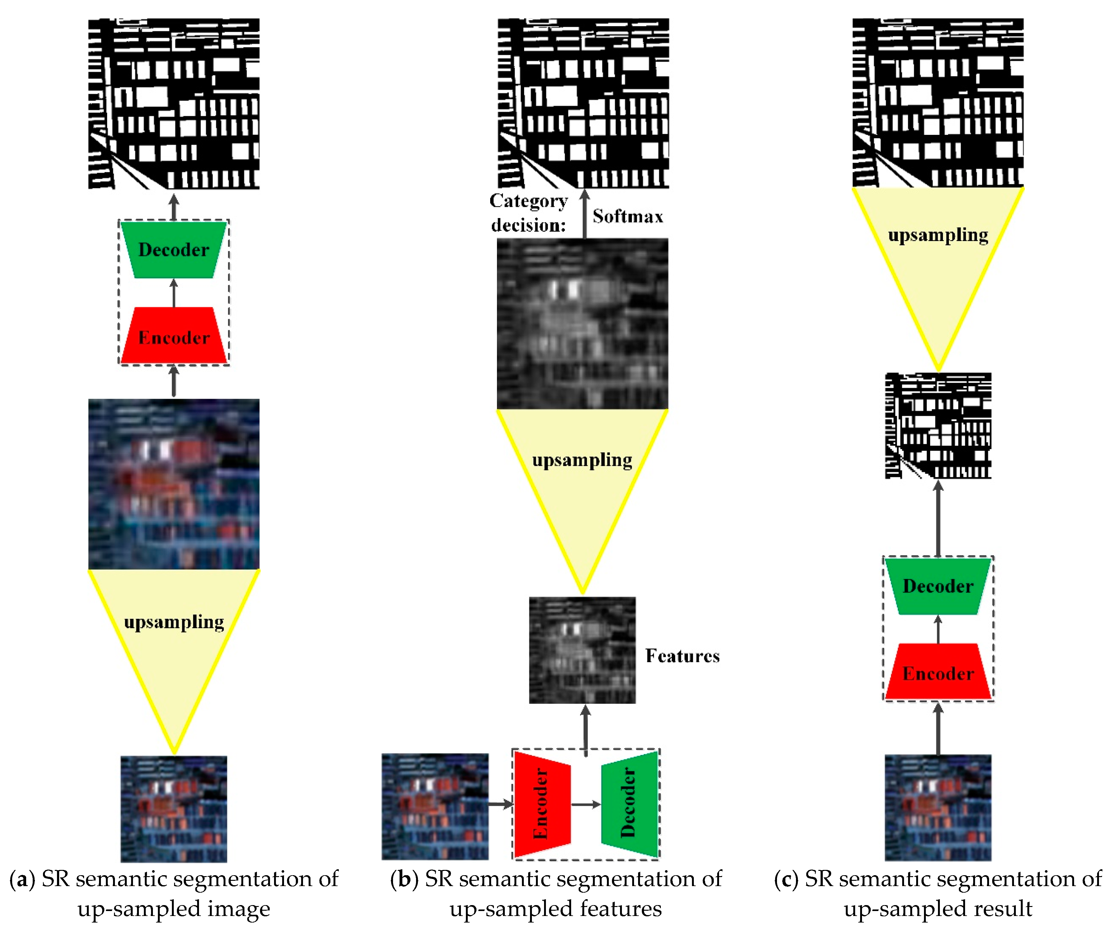
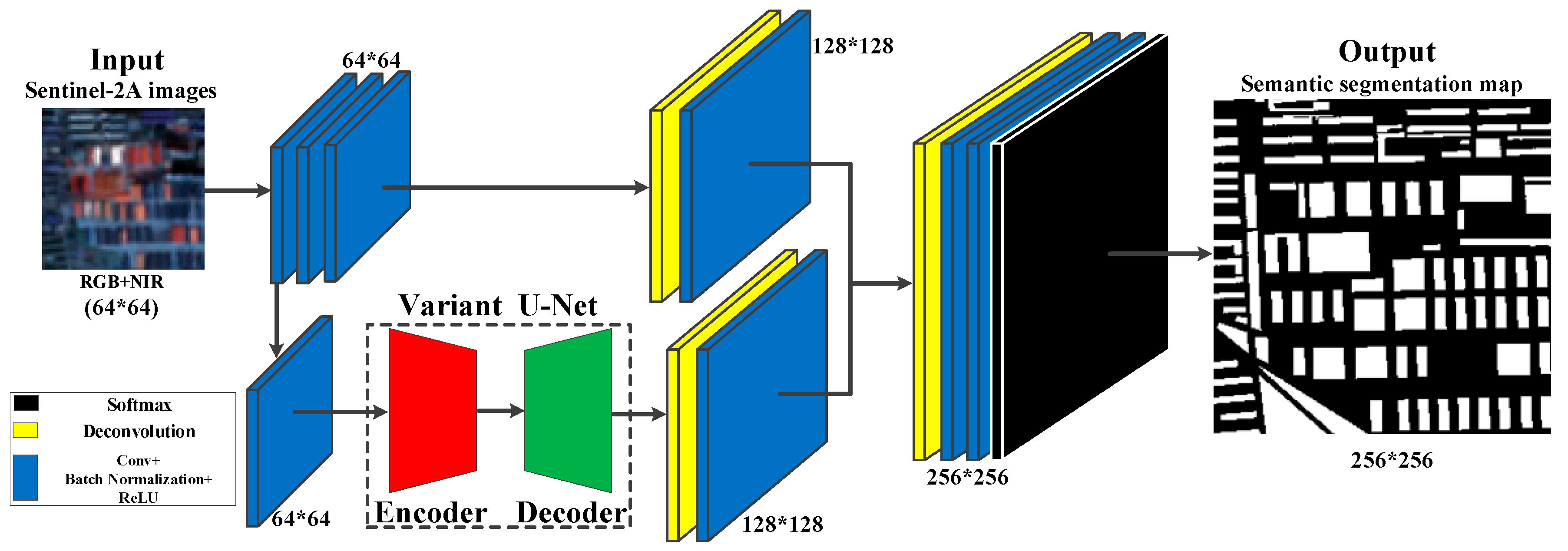
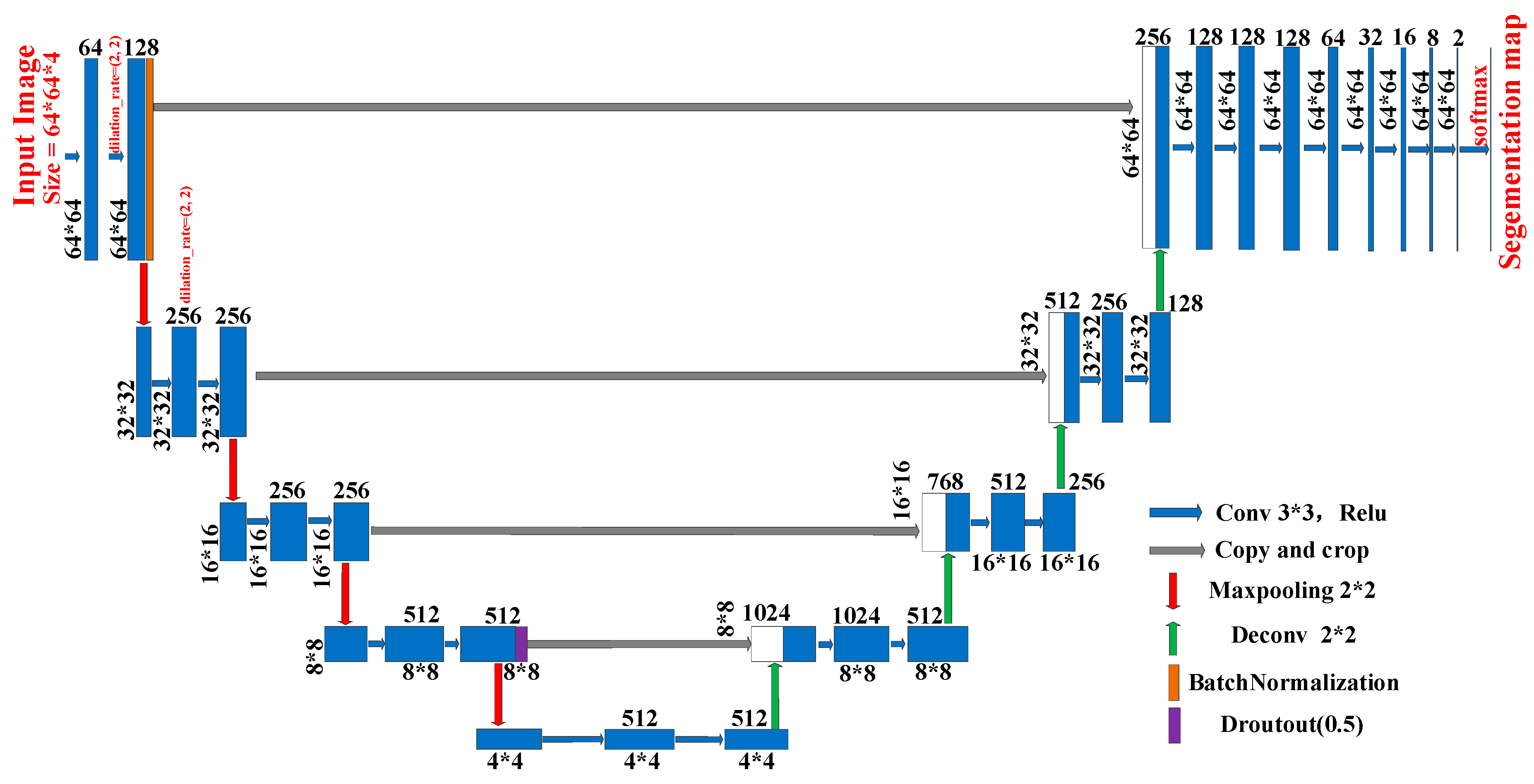
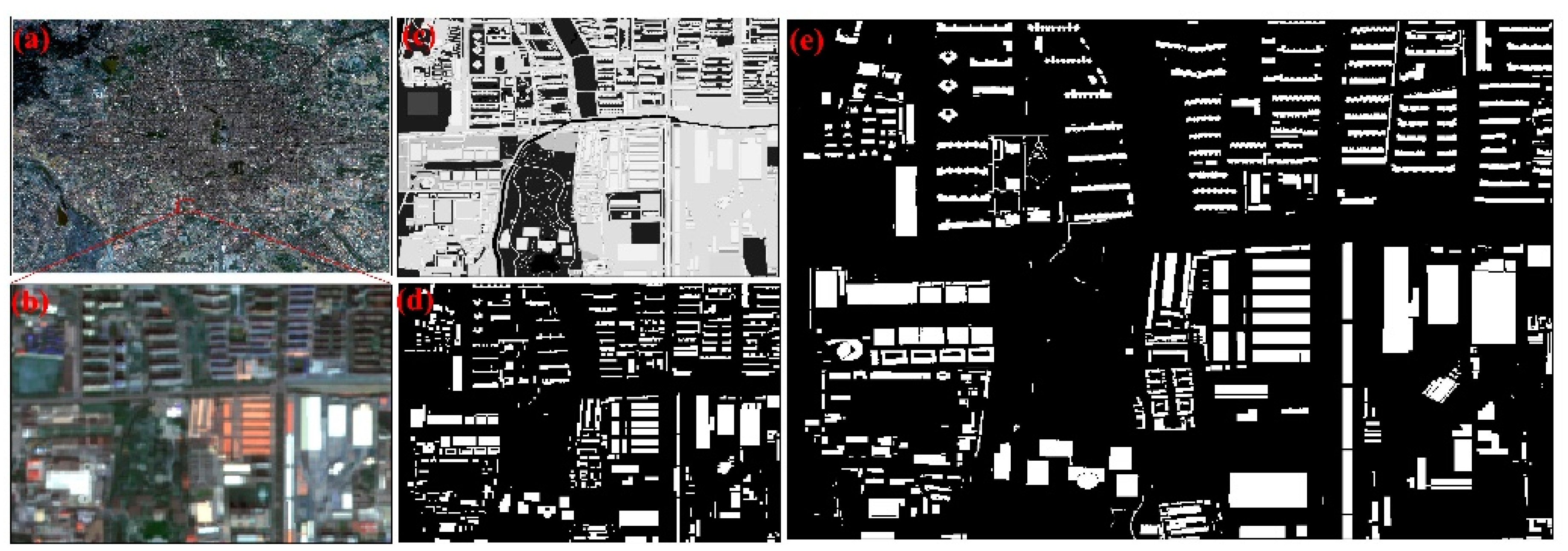
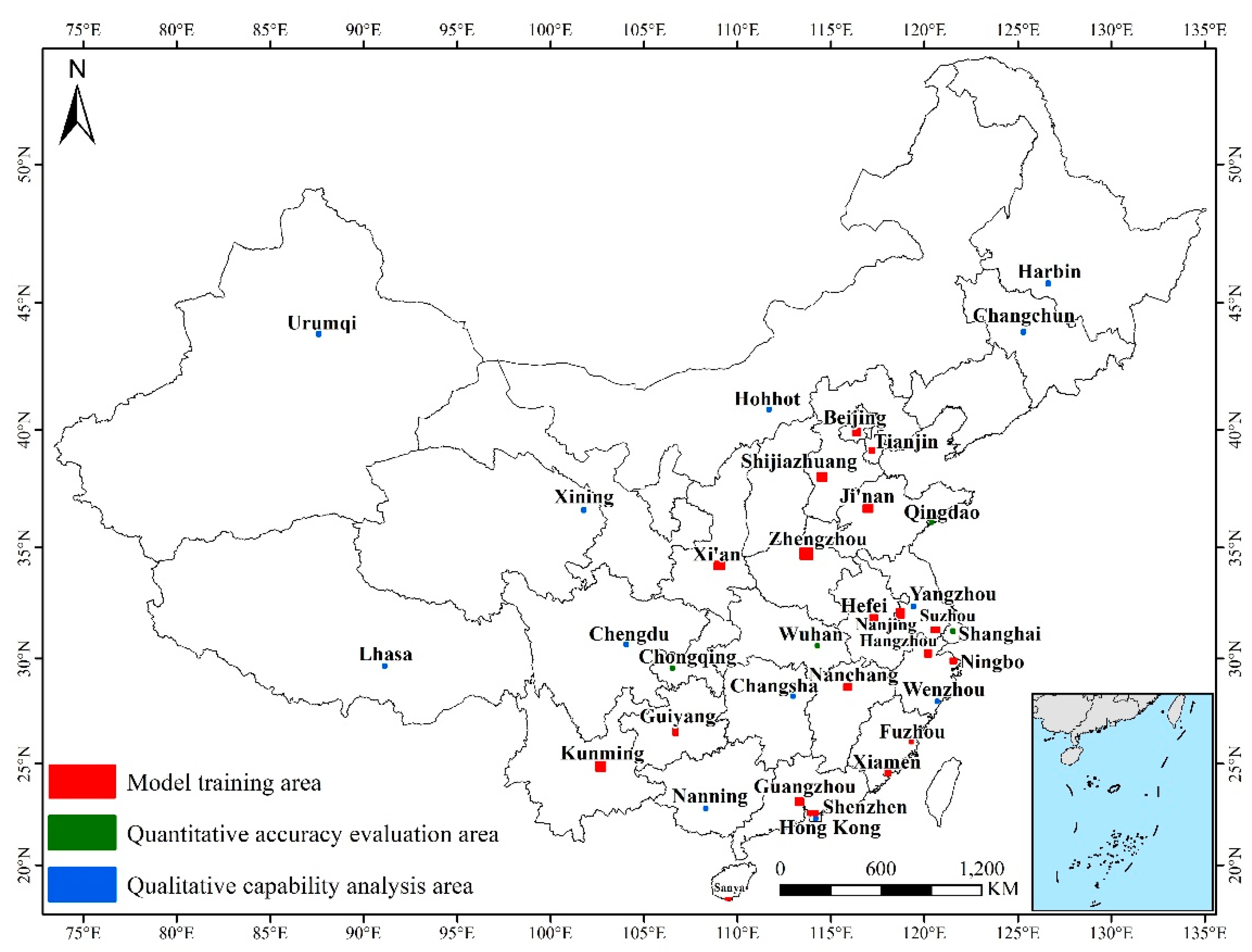
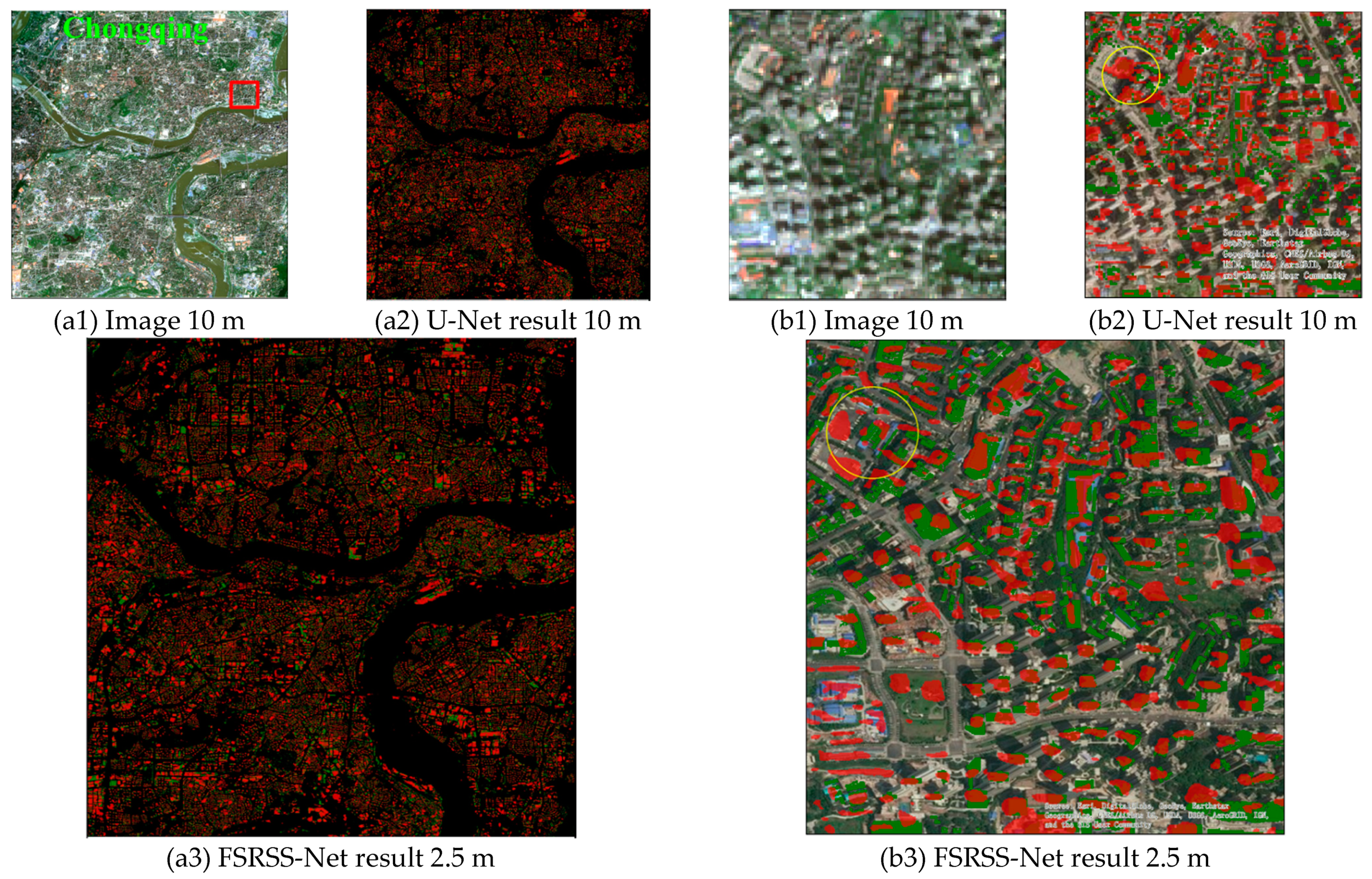
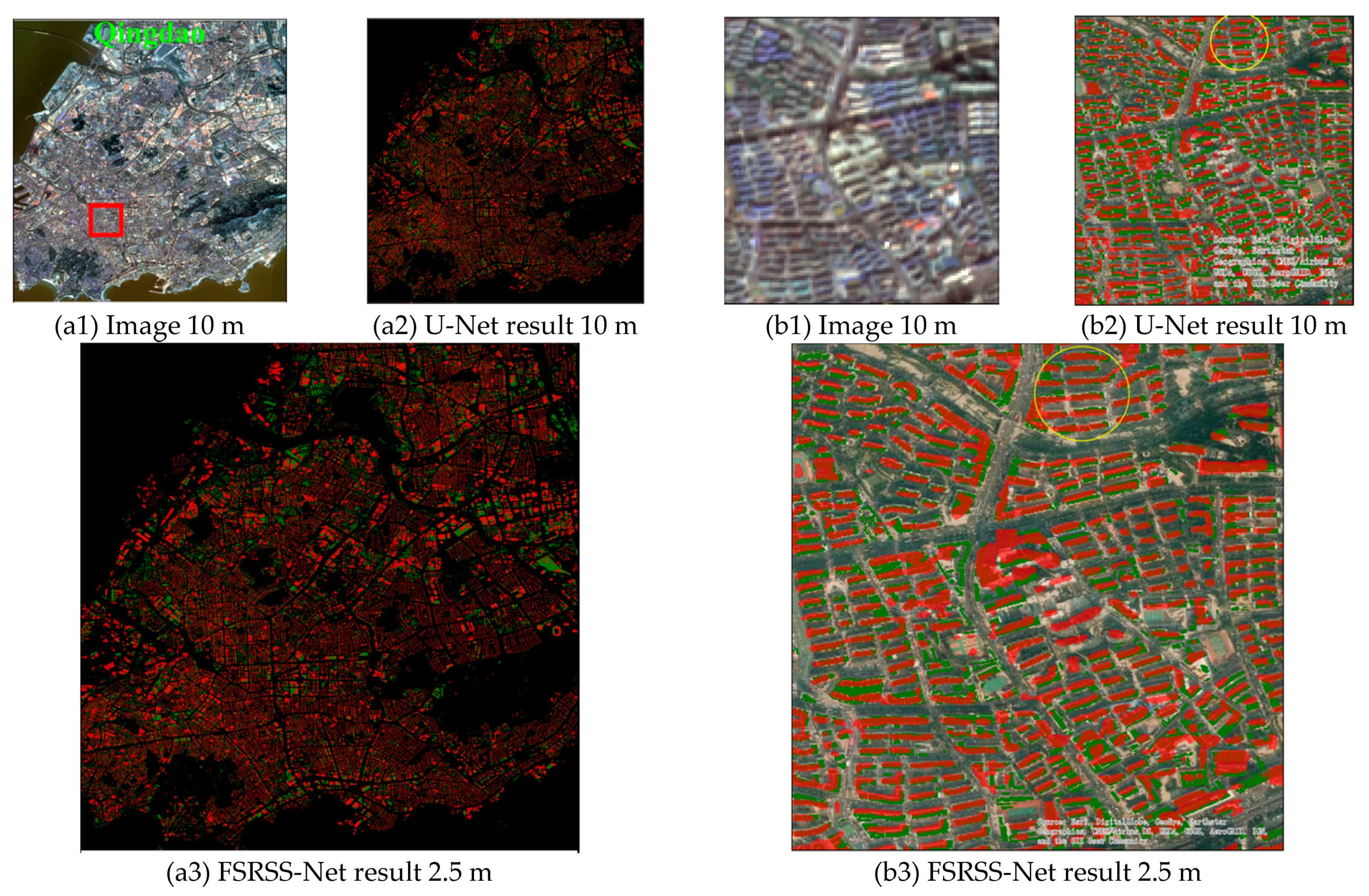
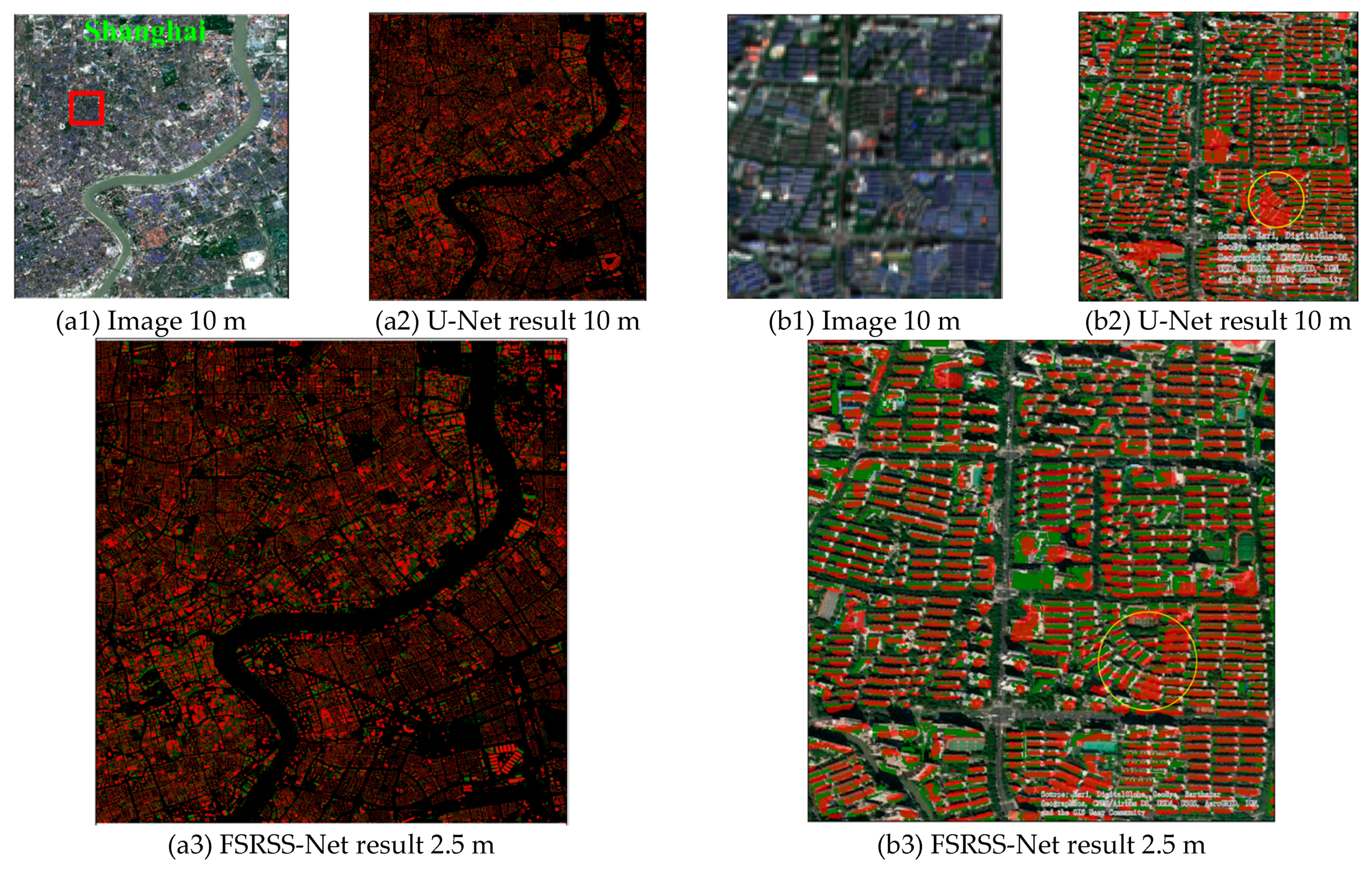
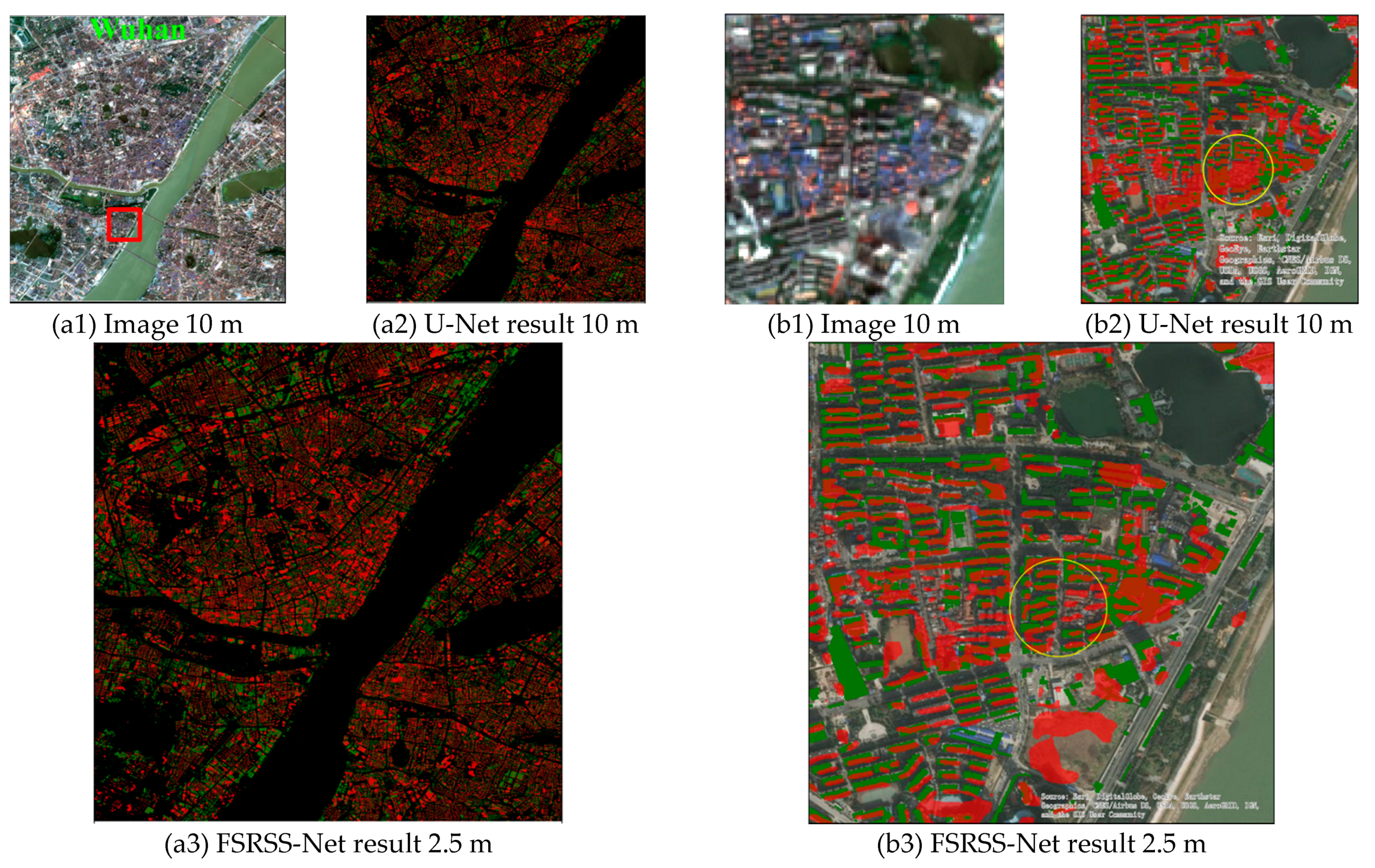
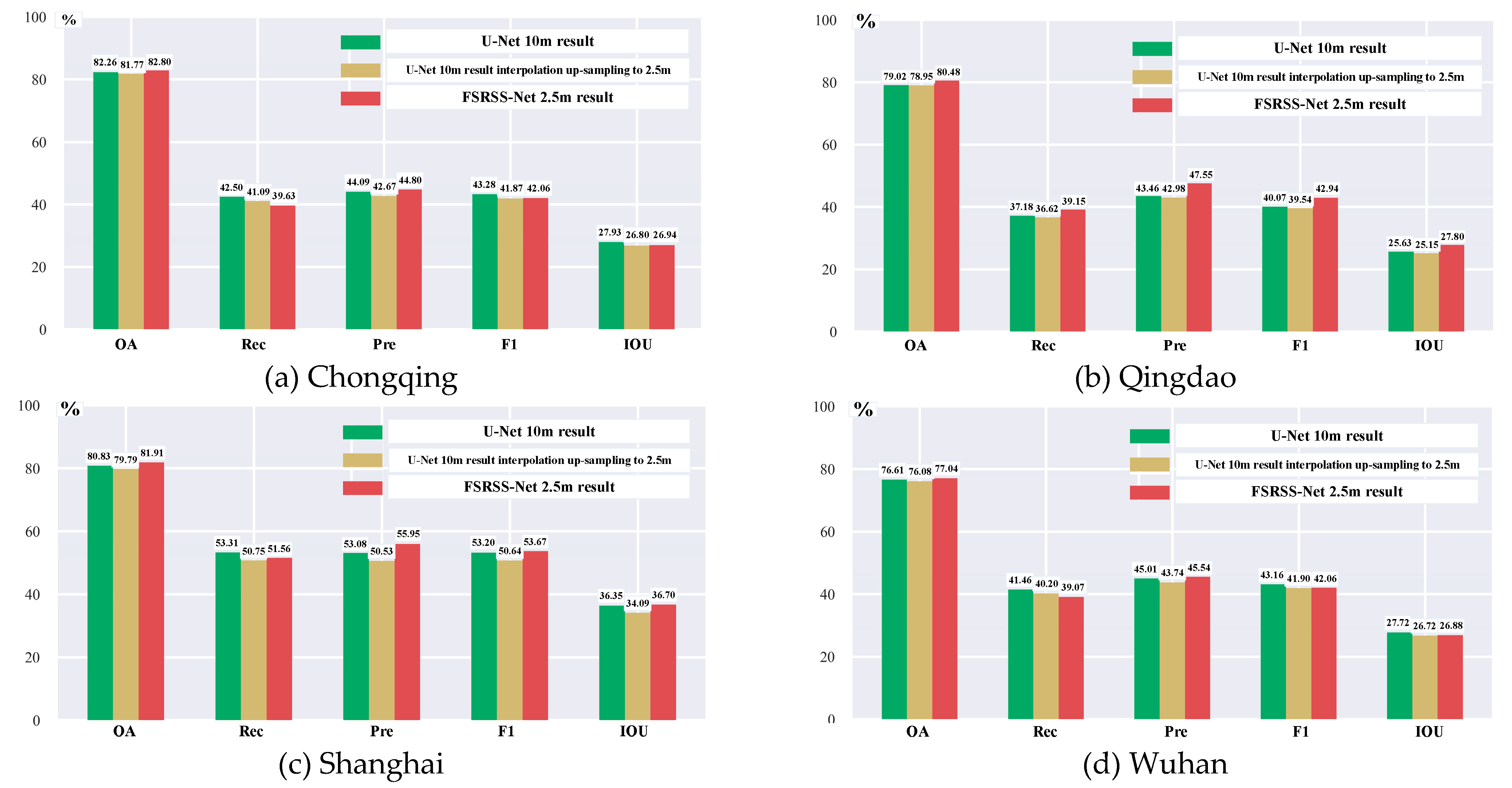
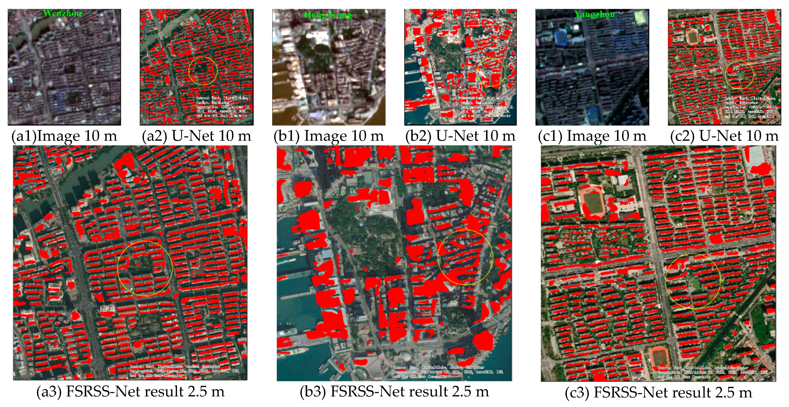
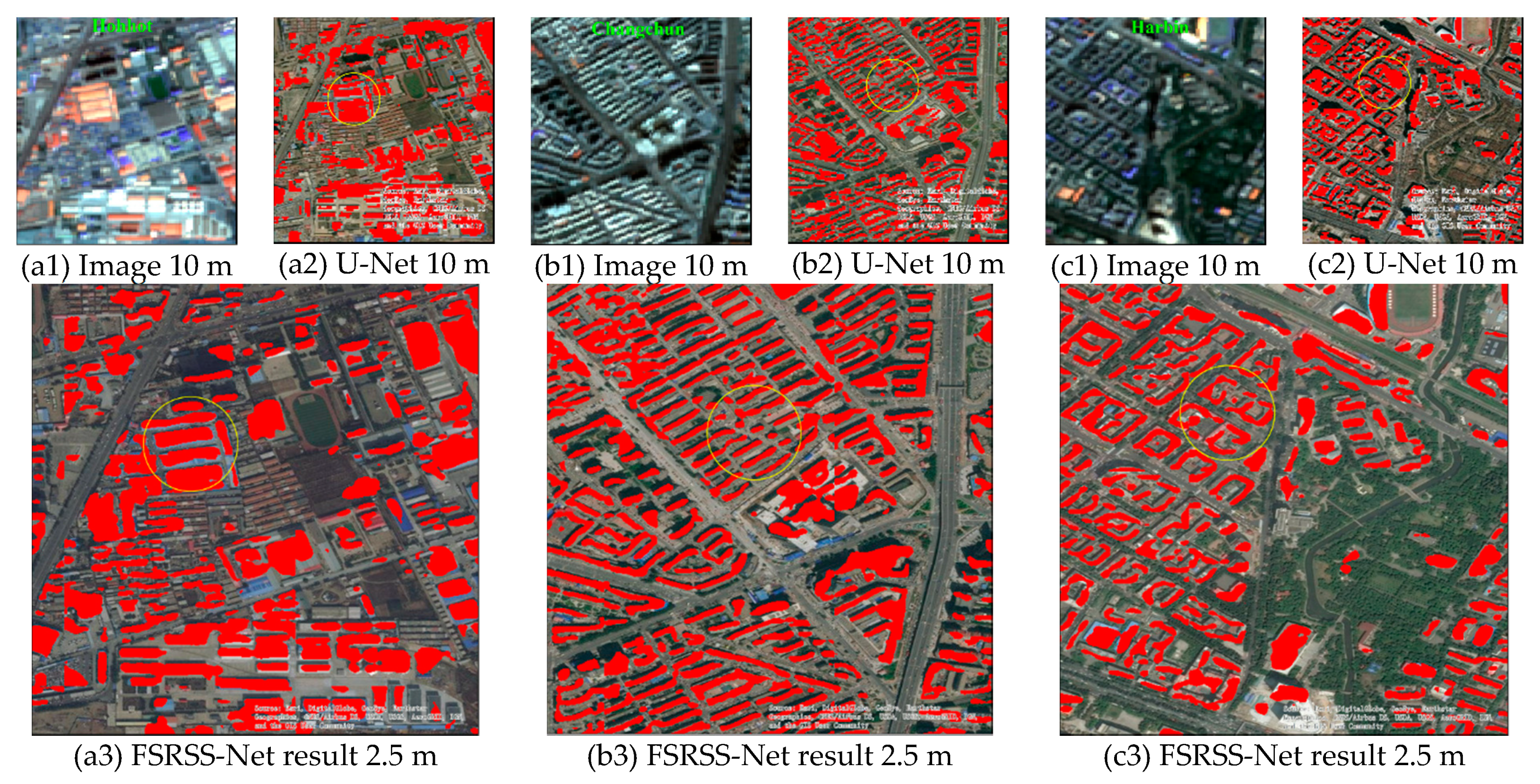
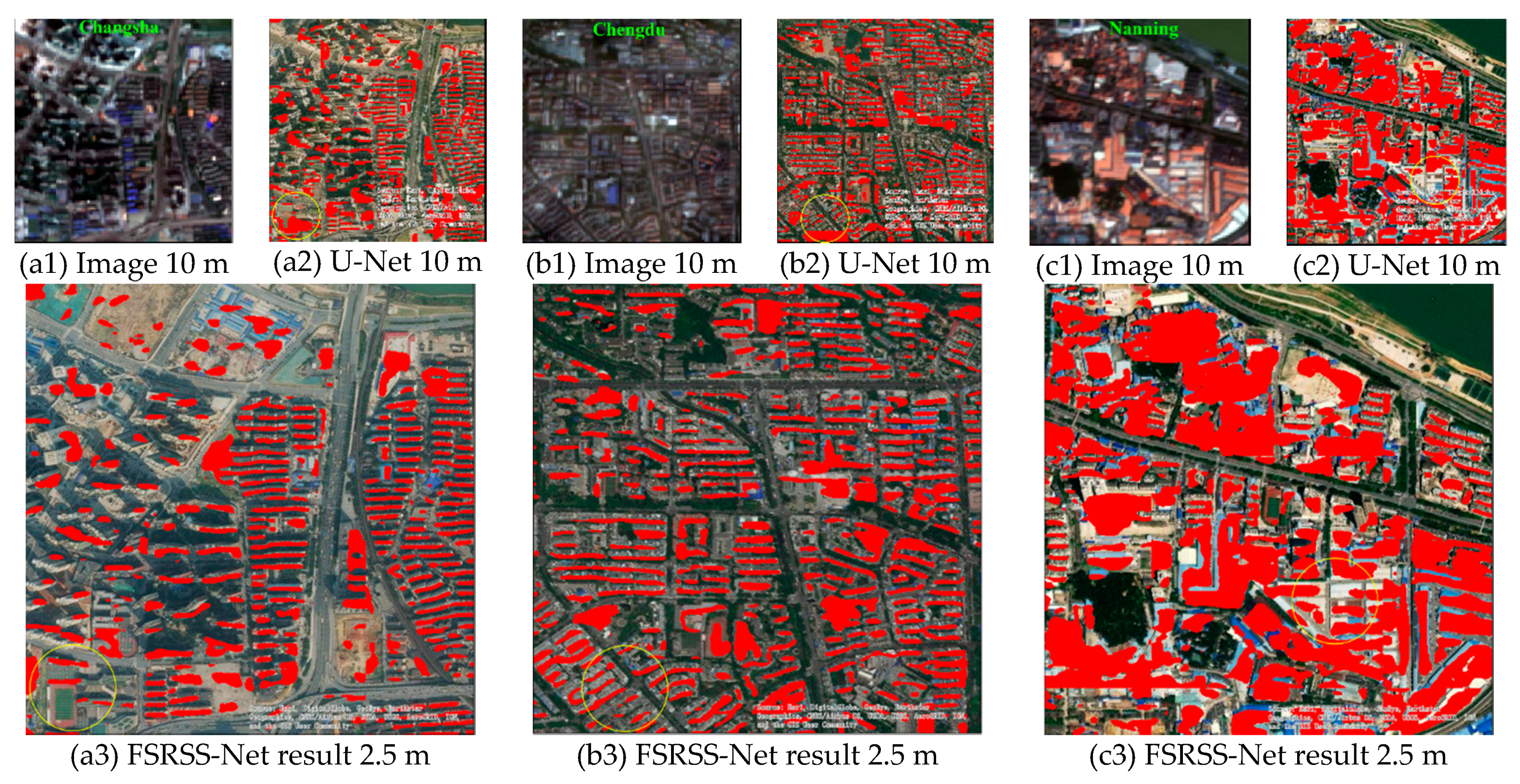
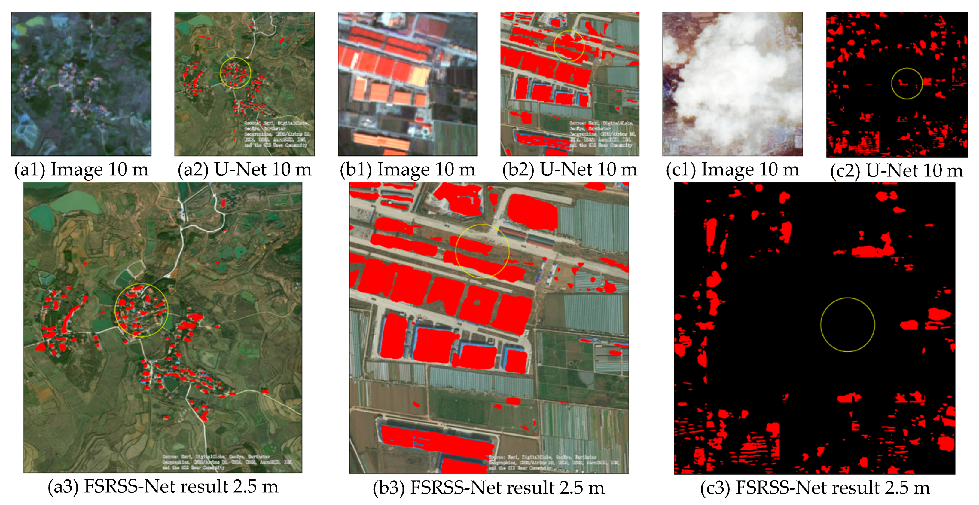
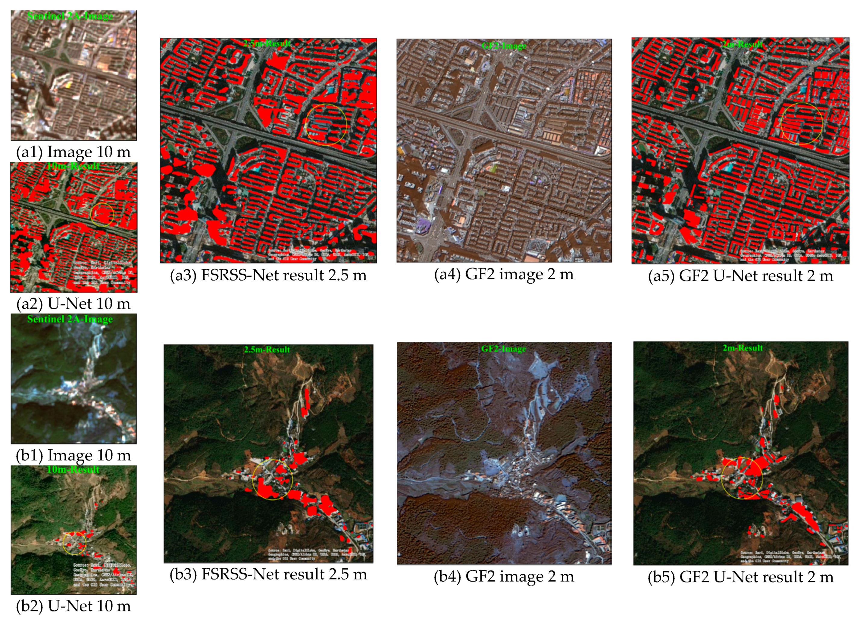
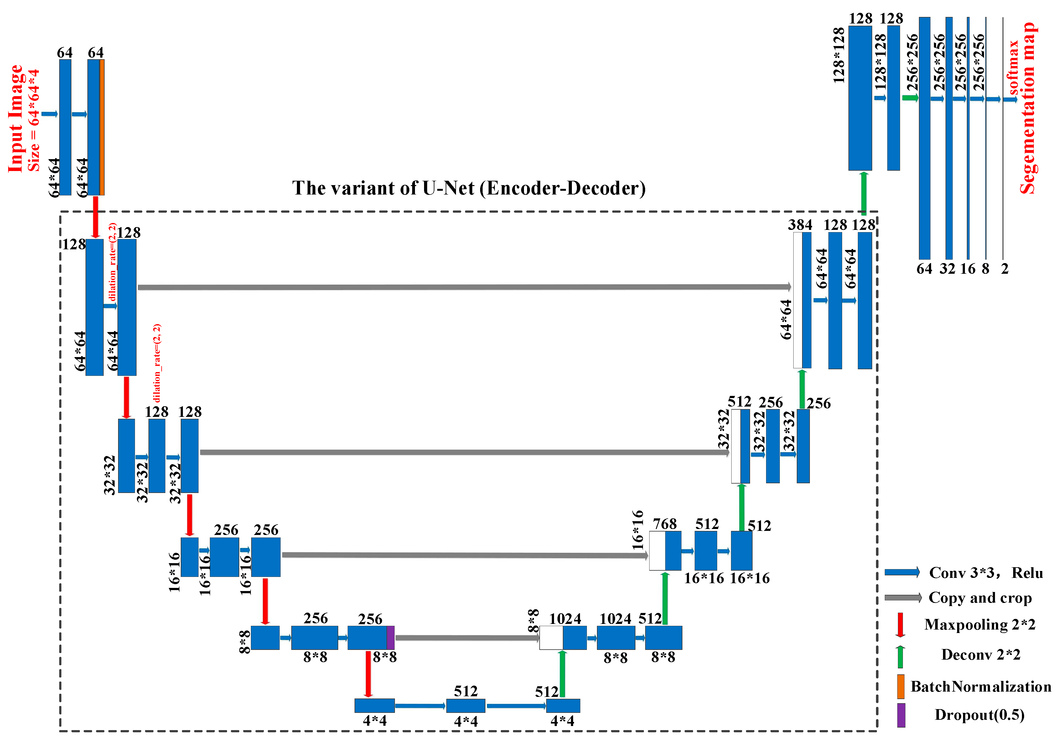
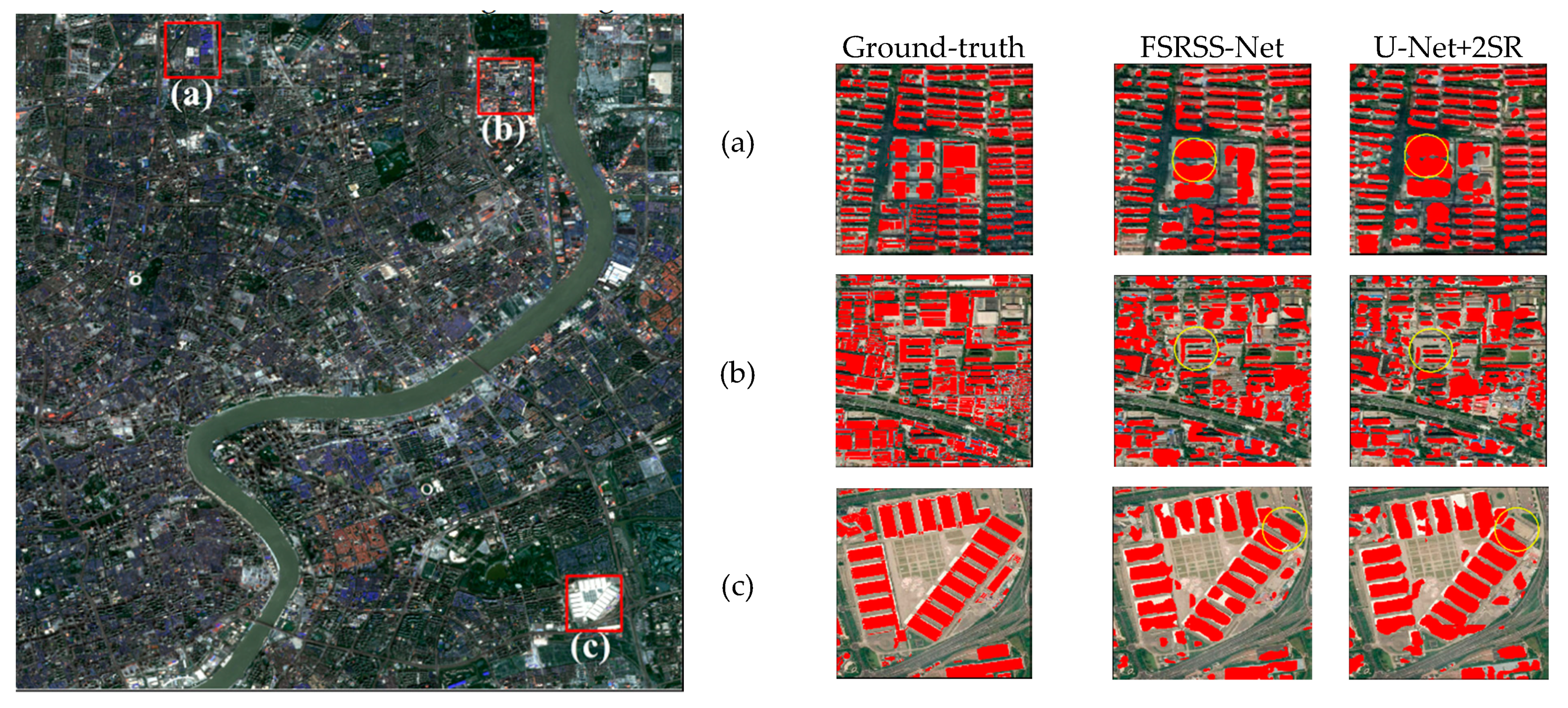
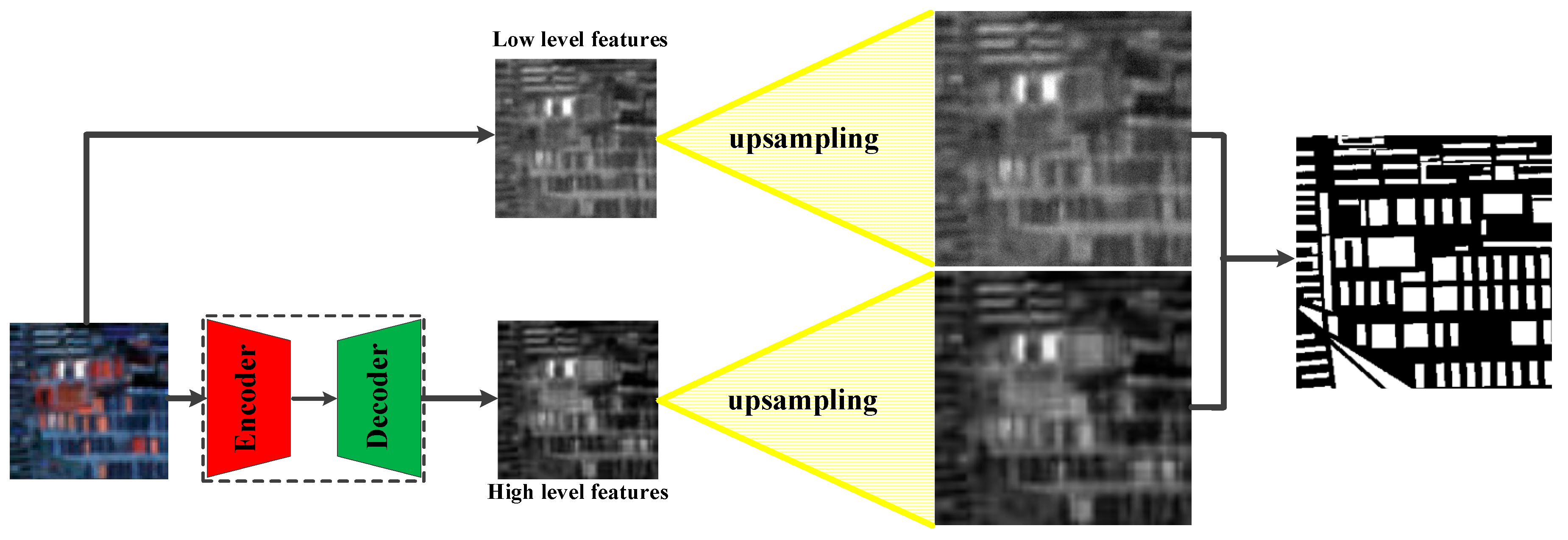
Satellite mapping of buildings and built-up areas used to be delineated from high spatial resolution (e.g., meters or sub-meters) and middle spatial resolution (e.g., tens of meters or hundreds of meters) satellite images, respectively. To the best of our knowledge, it is important to explore a deep-learning approach to delineate high-resolution semantic maps of buildings from middle-resolution satellite images. The approach is termed as super-resolution semantic segmentation in this paper. Specifically, we design a neural network with integrated low-level image features of super-resolution and high-level semantic features of super-resolution, which is trained with Sentinel-2A images (i.e., 10 m) and higher-resolution semantic maps (i.e., 2.5 m). The network, based on super-resolution semantic segmentation features is called FSRSS-Net. In China, the 35 cities are partitioned into three groups, i.e., 19 cities for model training, four cities for quantitative testing and the other 12 cities for qualitative generalization ability analysis of the learned networks. A large-scale sample dataset is created and utilized to train and validate the performance of the FSRSS-Net, which includes 8597 training samples and 766 quantitative accuracy evaluation samples. Quantitative evaluation results show that: (1) based on the 10 m Sentinel-2A image, the FSRSS-Net can achieve super-resolution semantic segmentation and produce 2.5 m building recognition results, and there is little difference between the accuracy of 2.5 m results by FSRSS-Net and 10 m results by U-Net. More importantly, the 2.5 m building recognition results by FSRSS-Net have higher accuracy than the 2.5 m results by U-Net 10 m building recognition results interpolation up-sampling; (2) from the spatial visualization of the results, the building recognition results of 2.5 m are more precise than those of 10 m, and the outline of the building is better depicted. Qualitative analysis shows that: (1) the learned FSRSS-Net can be also well generalized to other cities that are far from training regions; (2) the FSRSS-Net can still achieve comparable results to the U-Net 2 m building recognition results, even when the U-Net is directly trained using both 2-meter resolution GF2 satellite images and corresponding semantic labels.
Keywords: satellite mapping of buildings; Sentinel-2A images; super-resolution semantic segmentation; feature deconvolution satellite mapping of buildings; Sentinel-2A images; super-resolution semantic segmentation; feature deconvolution
Graphical Abstract