Article

Recent Crustal Deformation Based on Interpolation of GNSS Velocity in Continental China

1
College of Surveying and Geo-Informatics, Tongji University, Shanghai 200092, China
2
Key Laboratory of Earthquake Prediction, China Earthquake Administration, Beijing 100036, China
*
Author to whom correspondence should be addressed.
Remote Sens. 2020, 12(22), 3753; https://doi.org/10.3390/rs12223753
Submission received: 19 October 2020 / Revised: 9 November 2020 / Accepted: 13 November 2020 / Published: 14 November 2020
(This article belongs to the Special Issue GNSS for Geosciences)

Abstract

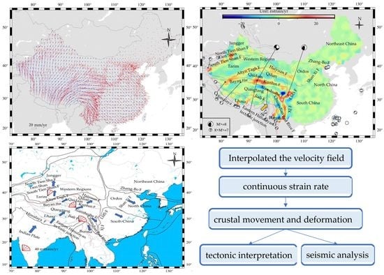
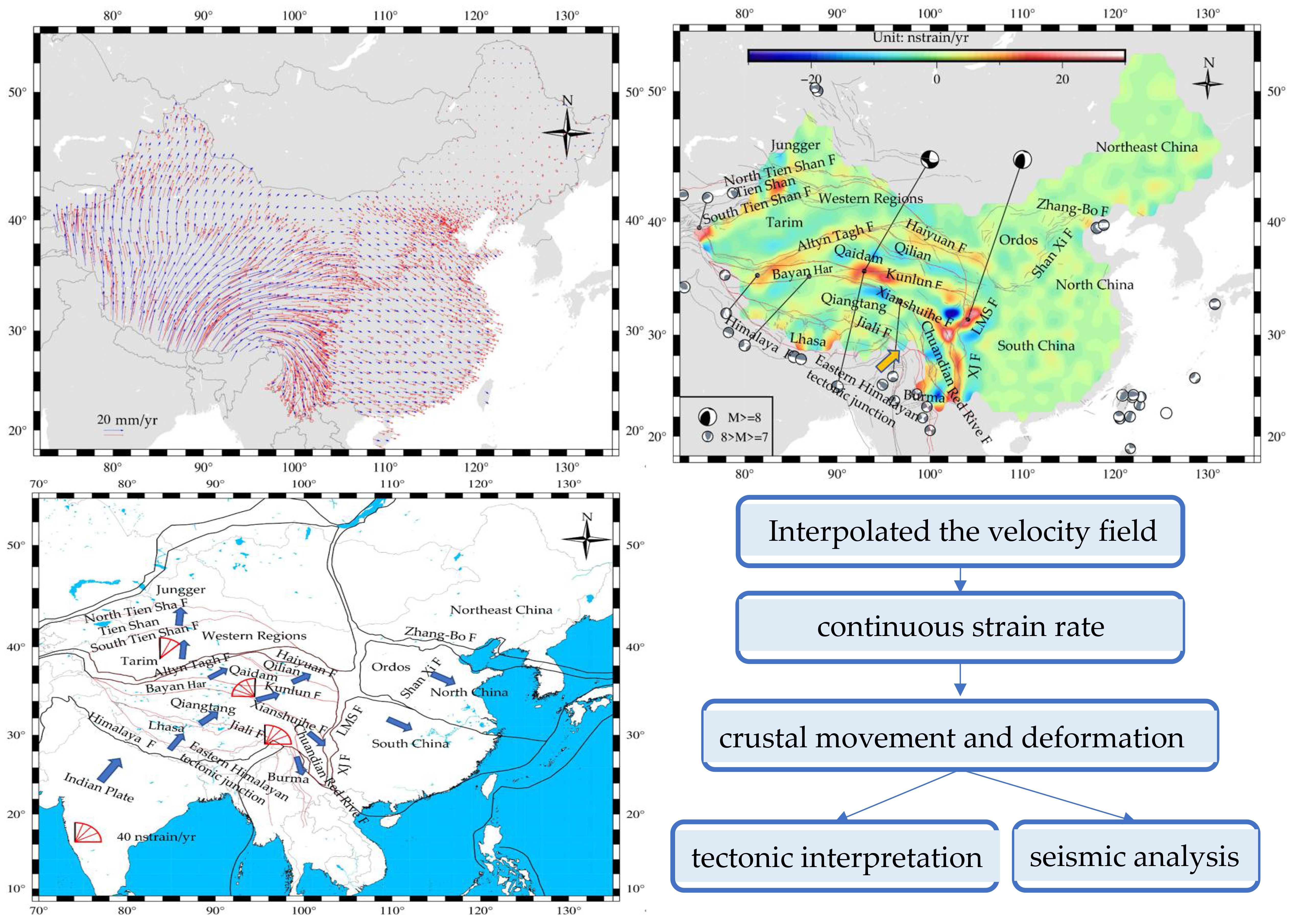
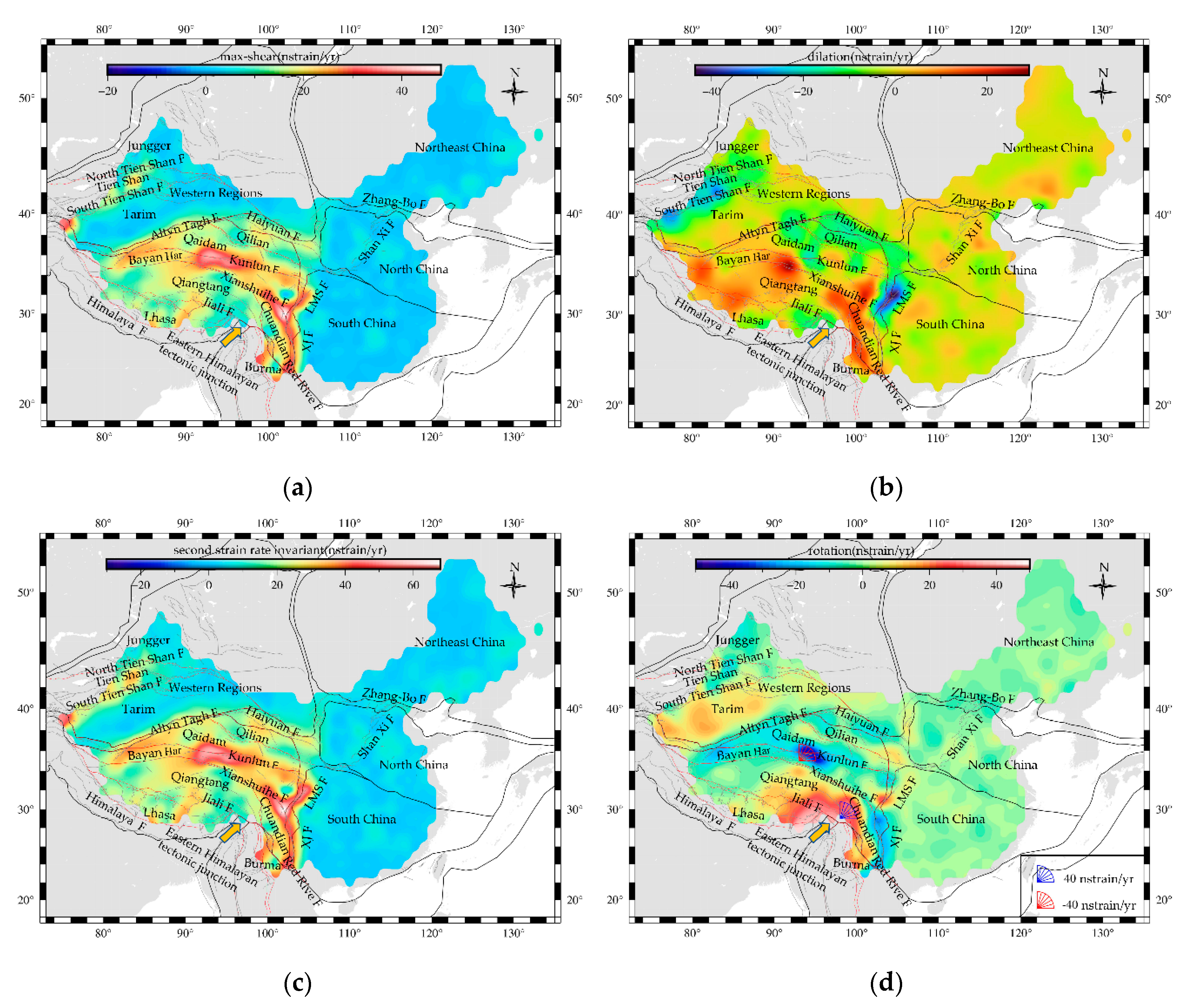
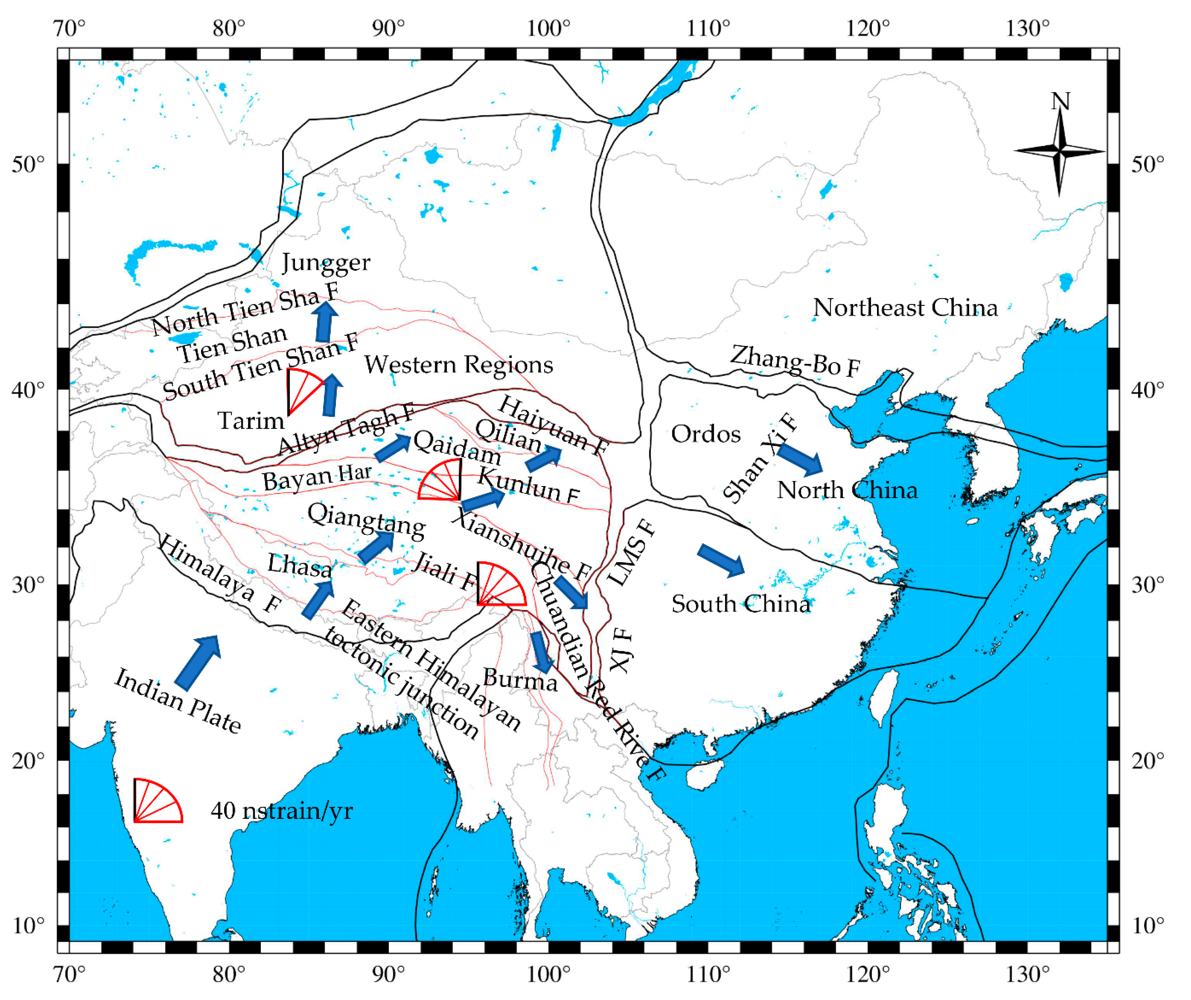
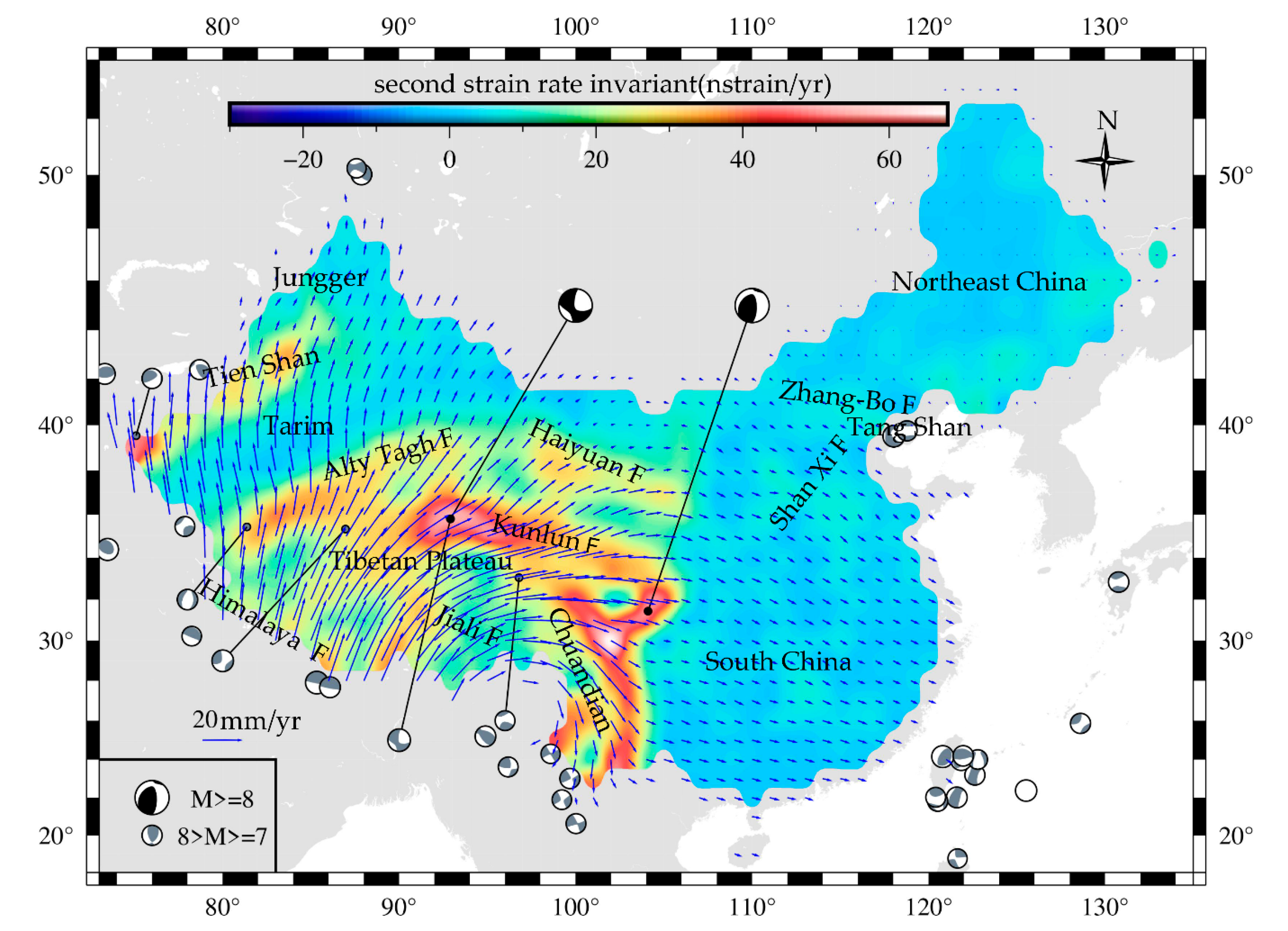
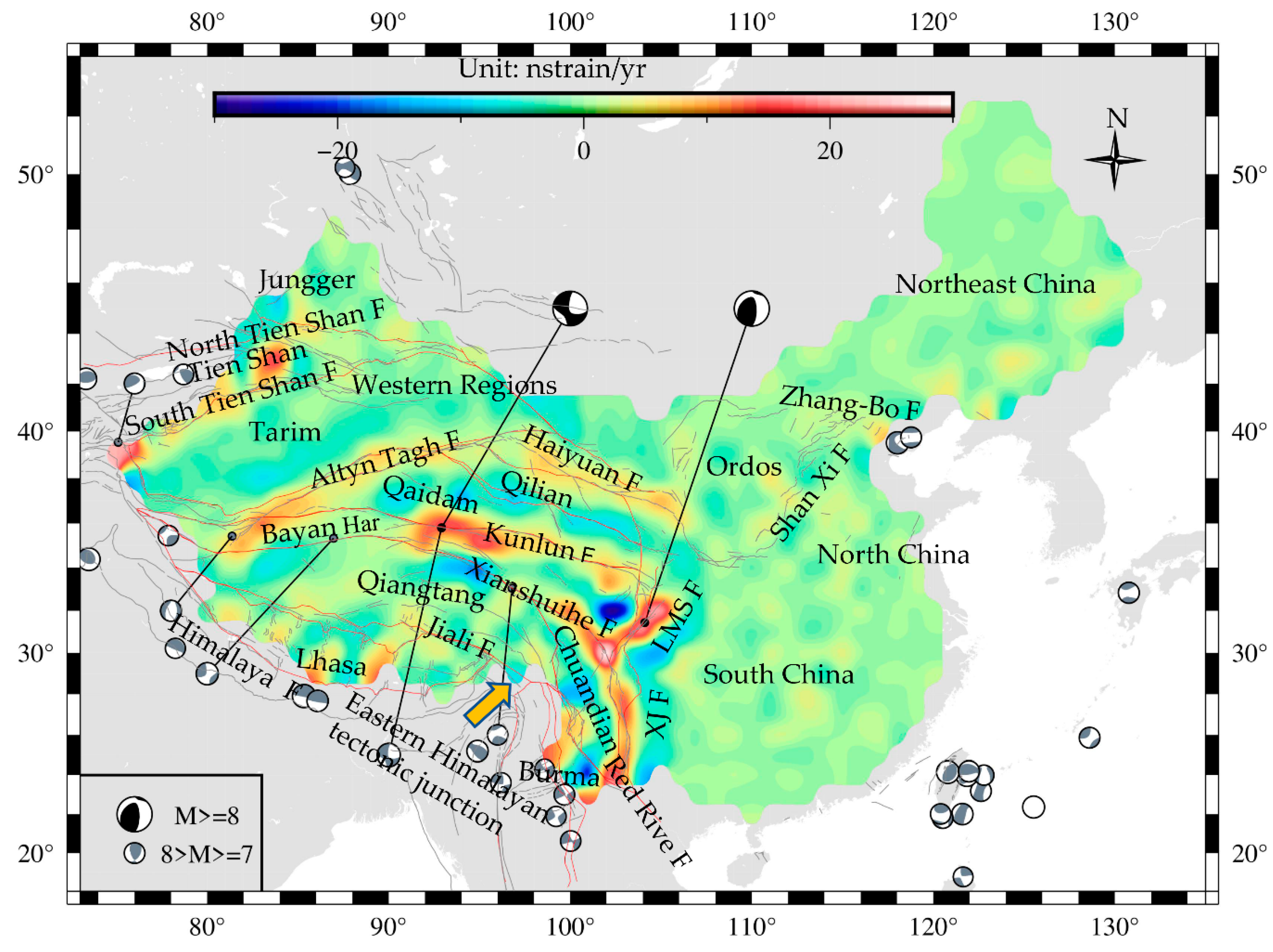
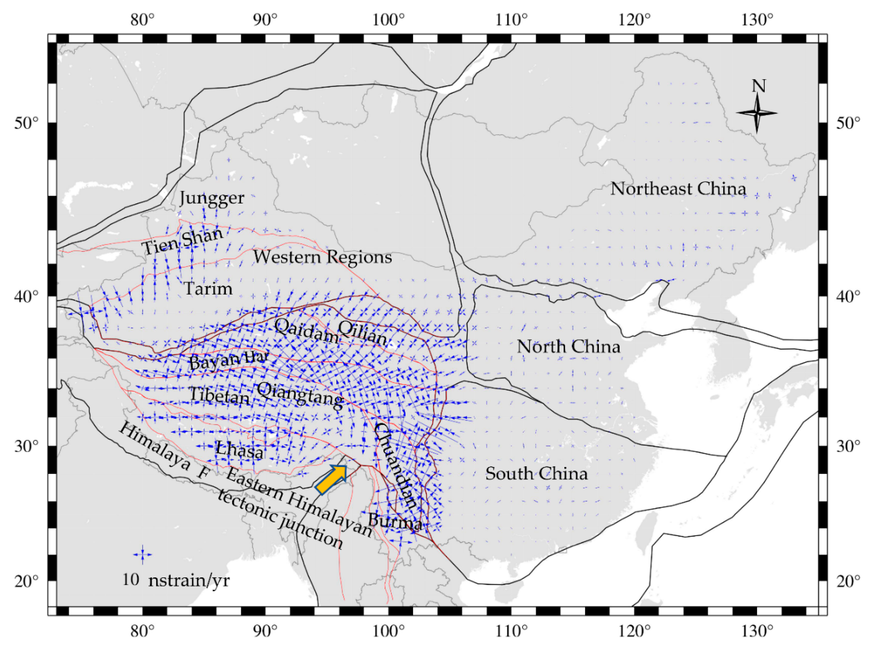
We used the interpolation method of two-dimensional vector velocity field data based on Green’s function to conduct coupled interpolation with a Poisson’s ratio of 0.5 for 1966 horizontal velocity field data from 1999 to 2017 and obtained the uniform velocity field and strain rate field with a grid of 1°. The main results are as follows: the eastern Himalayan structure as the center, the eastern Lhasa block, the eastern Qiangtang block, the Sichuan-Yunnan block, and the Burma block form a strong deformation rate zone of continuous deformation in the fan-shaped region, which has been a strong deformation rate zone for earthquakes of magnitude 7 or higher in continental China since 1963. Besides, the eastward movement of crustal material in the Tibetan Plateau is blocked by the stable South China block. Therefore, the direction of crustal material movement is deflected, which gradually forms a clockwise rotation motion system centered on the eastern Himalayan structure. Finally, our research shows that the influencing factors of strong earthquakes include velocity change, non-uniform strain distribution, accumulation of larger strain, and the difference of the second strain rate invariant. Strong earthquakes are closely related to the difference in energy accumulation in space.
Keywords: crustal motion; velocity field; interpolation; earthquake; tectonics deformation crustal motion; velocity field; interpolation; earthquake; tectonics deformation
Graphical Abstract