Article

Forest Stand Species Mapping Using the Sentinel-2 Time Series


1
Institute of Geography and Spatial Management, Jagiellonian University, Gronostajowa 7, 30387 Kraków, Poland
2
Geography Department, Humboldt Universität zu Berlin, Unter den Linden 6, 10099 Berlin, Germany
3
Integrative Research Institute on Transformations of Human-Environment Systems (IRI THESys), Humboldt Universität zu Berlin, Unter den Linden 6, 10117 Berlin, Germany
*
Author to whom correspondence should be addressed.
Remote Sens. 2019, 11(10), 1197; https://doi.org/10.3390/rs11101197
Submission received: 30 March 2019 / Revised: 10 May 2019 / Accepted: 17 May 2019 / Published: 20 May 2019
(This article belongs to the Special Issue Multitemporal Remote Sensing for Forestry)

Abstract

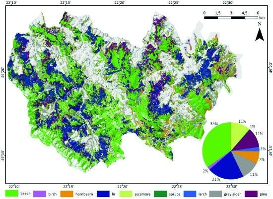
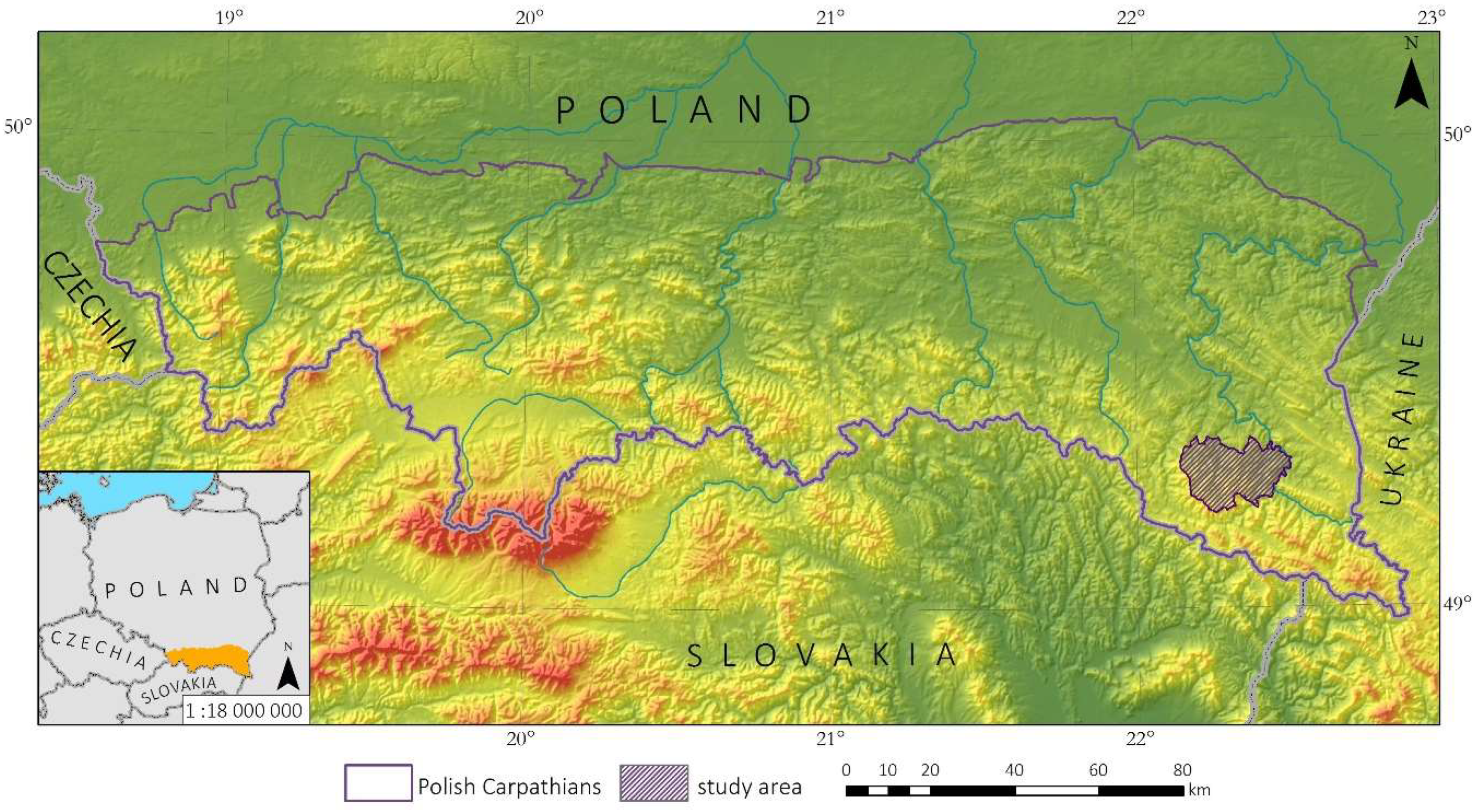
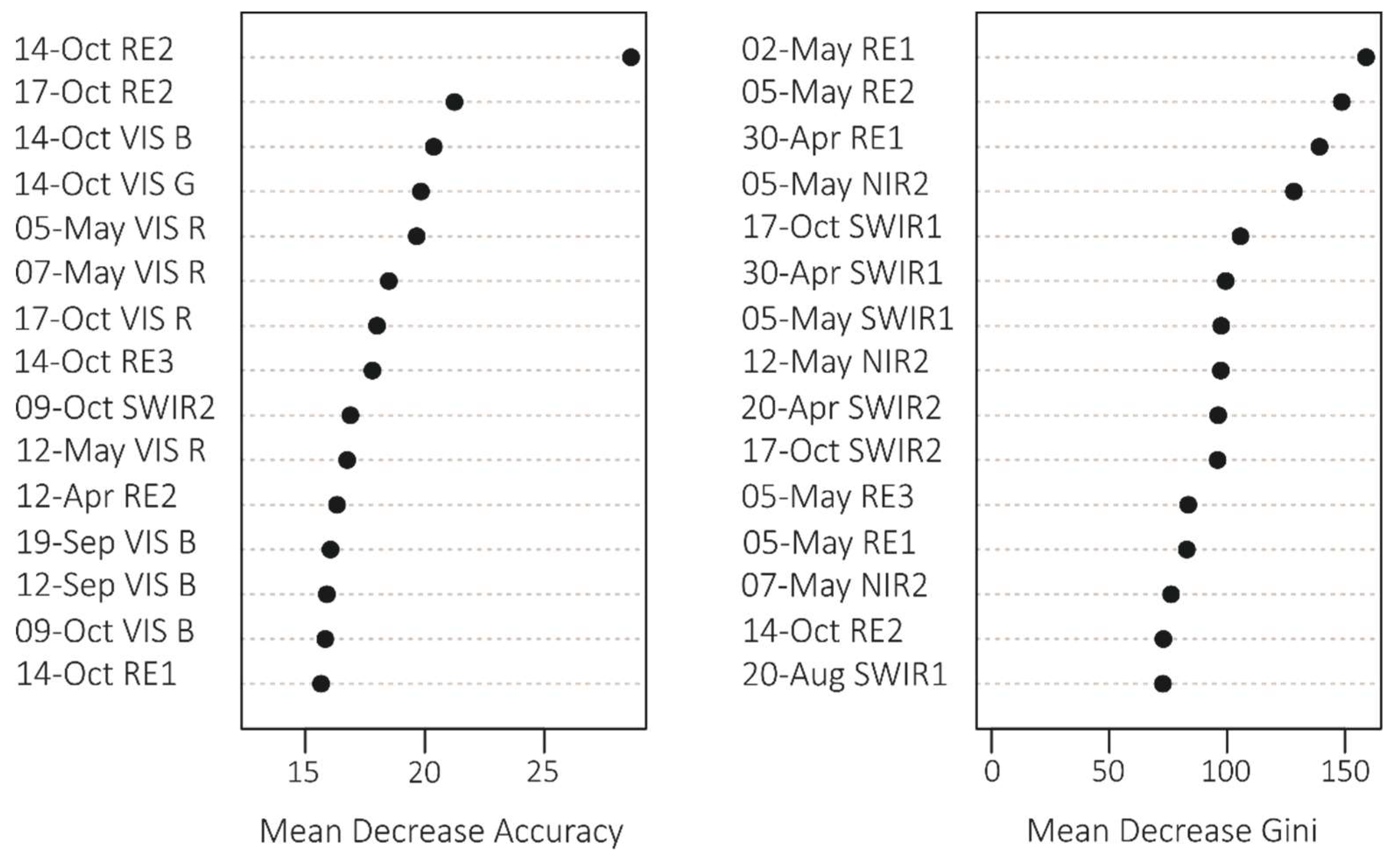
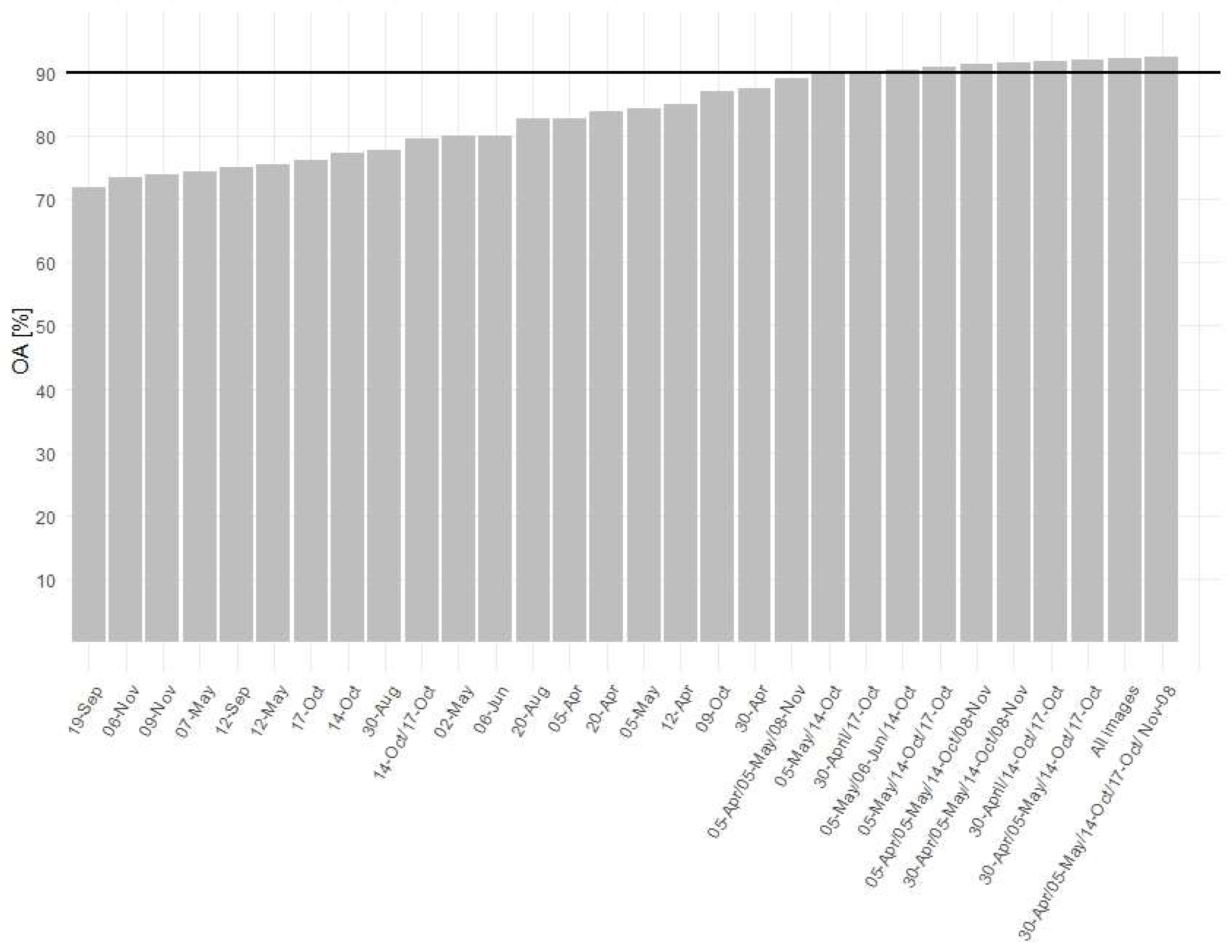
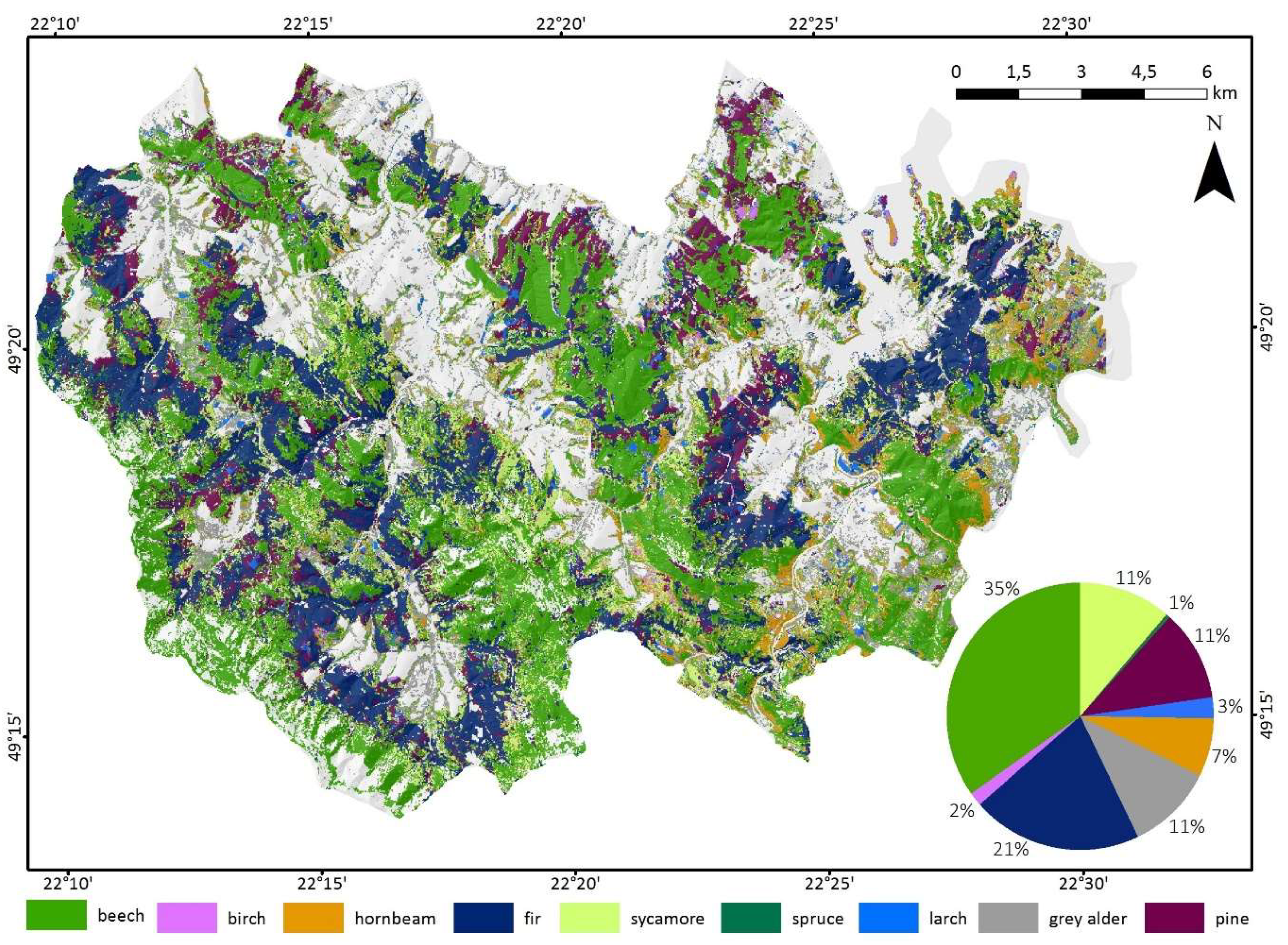
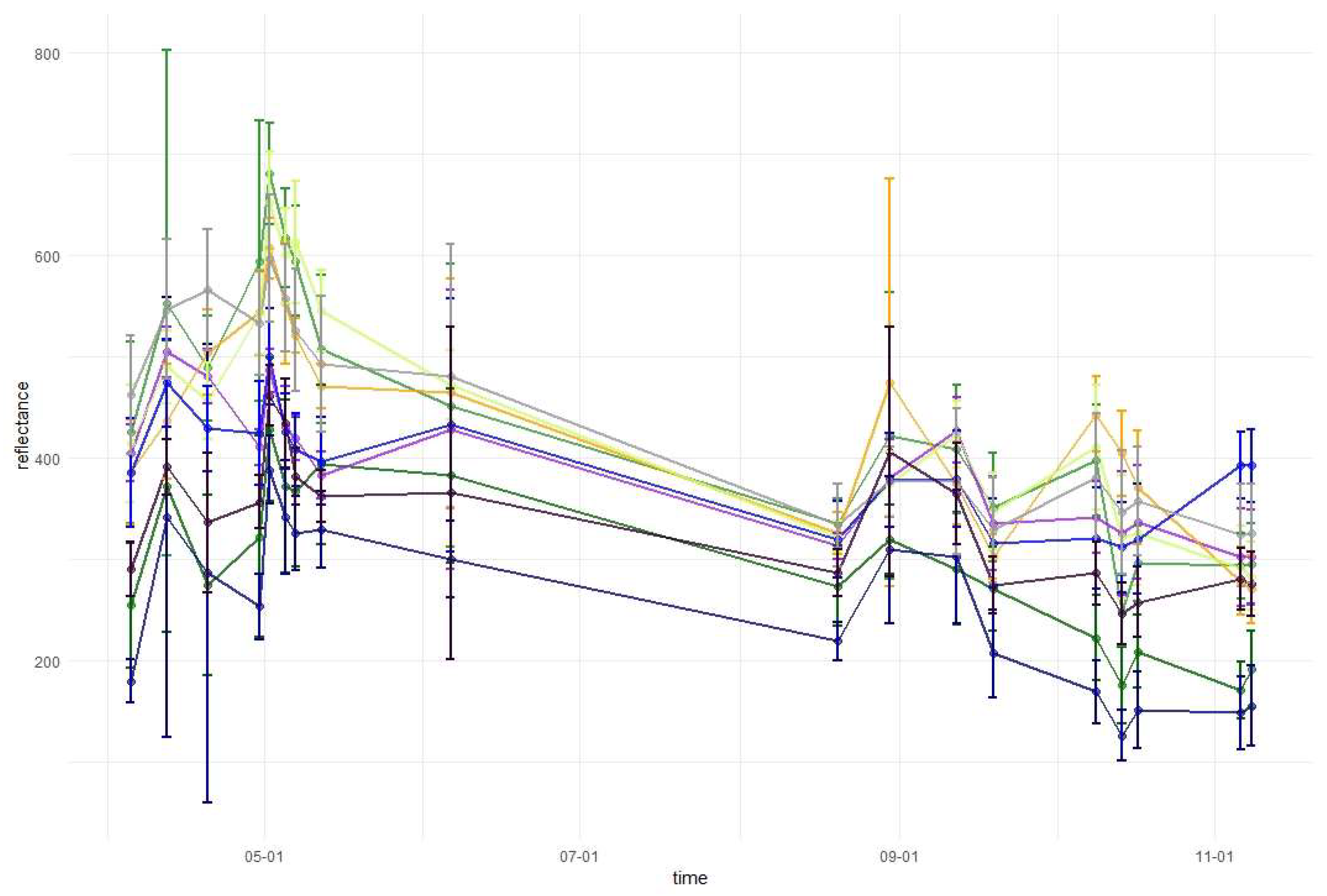
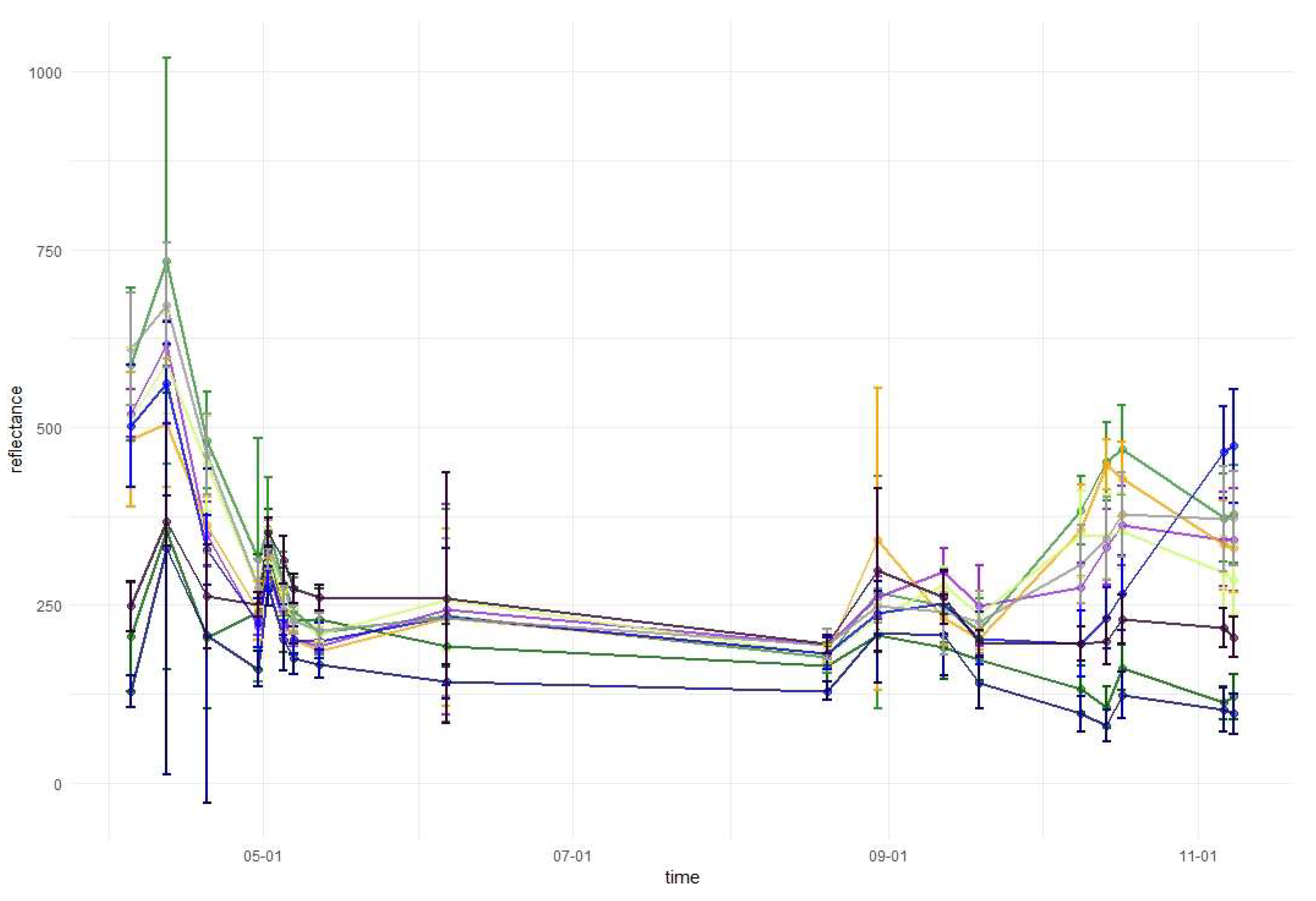
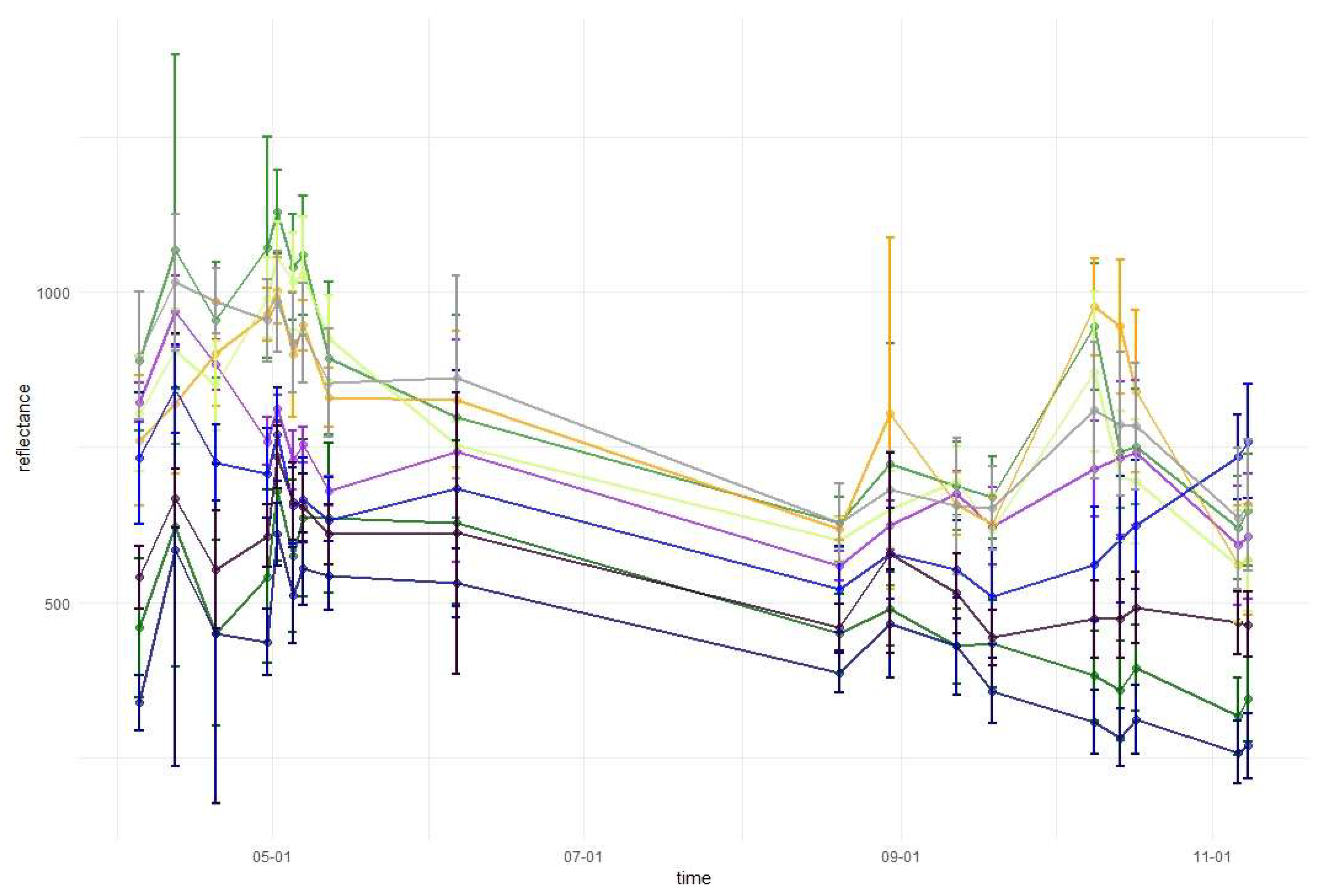
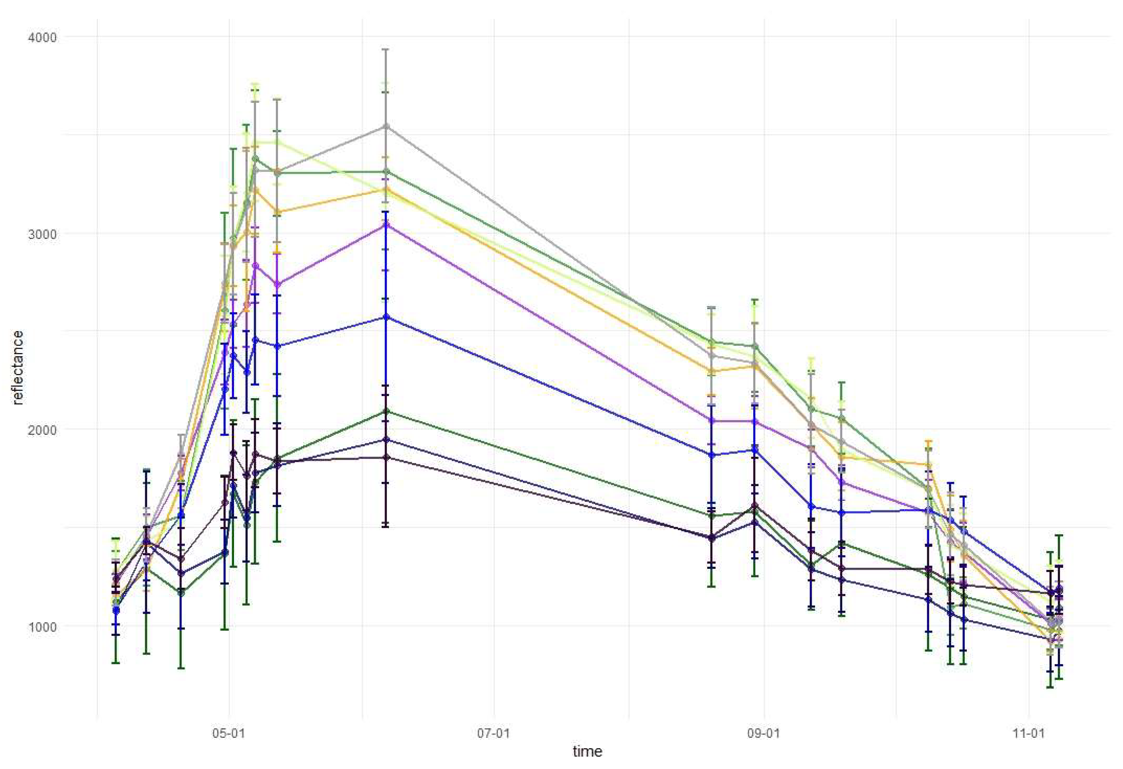
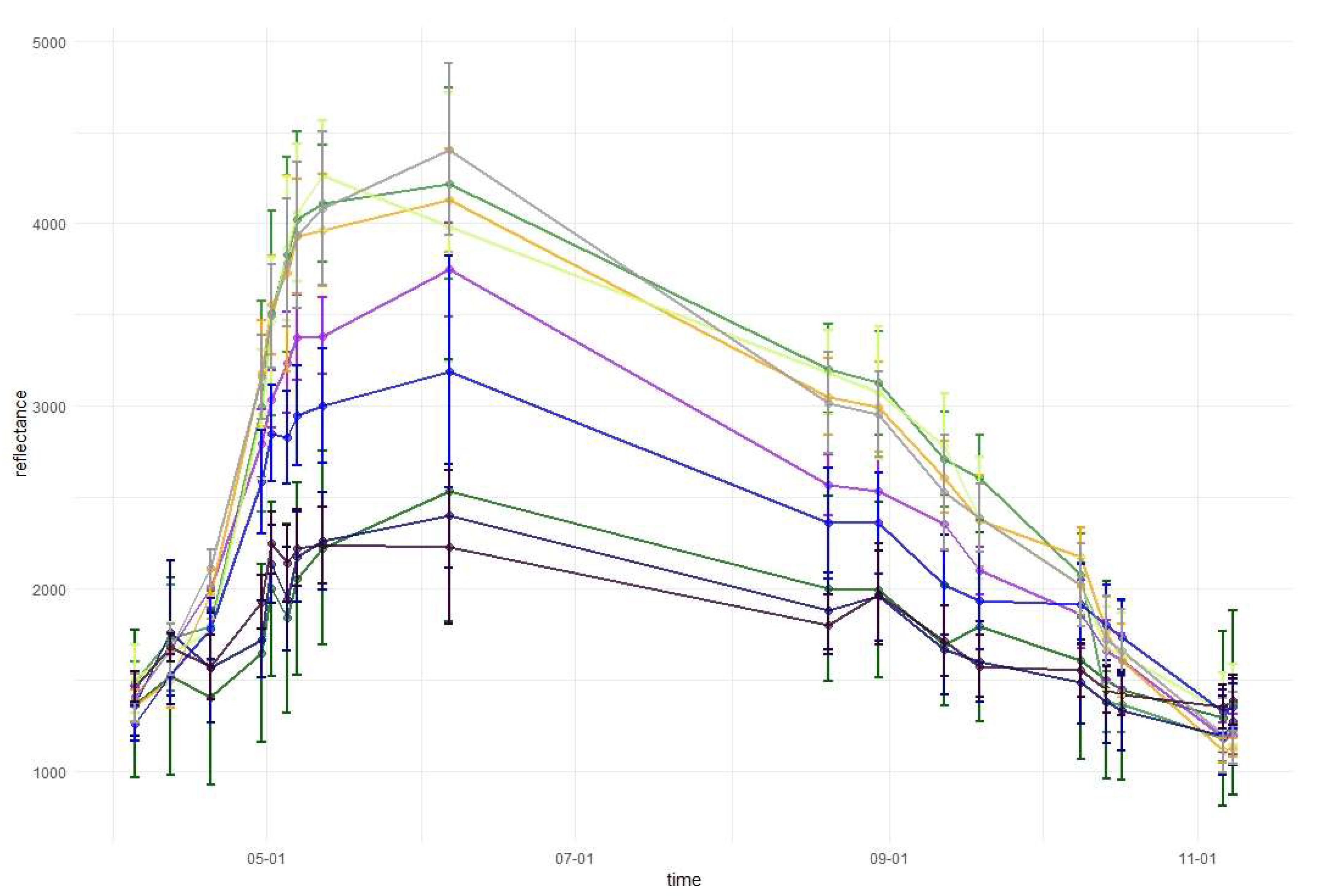
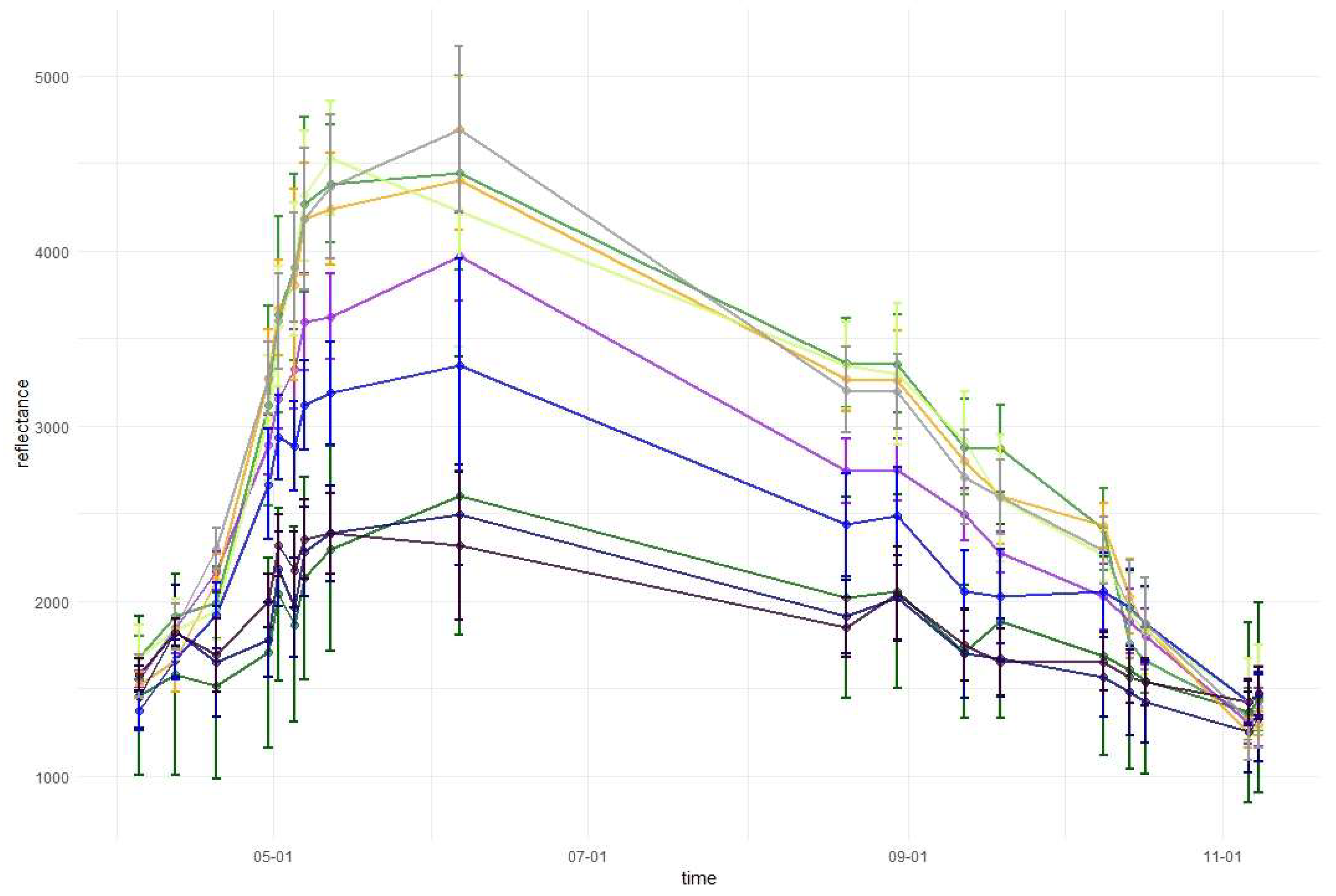
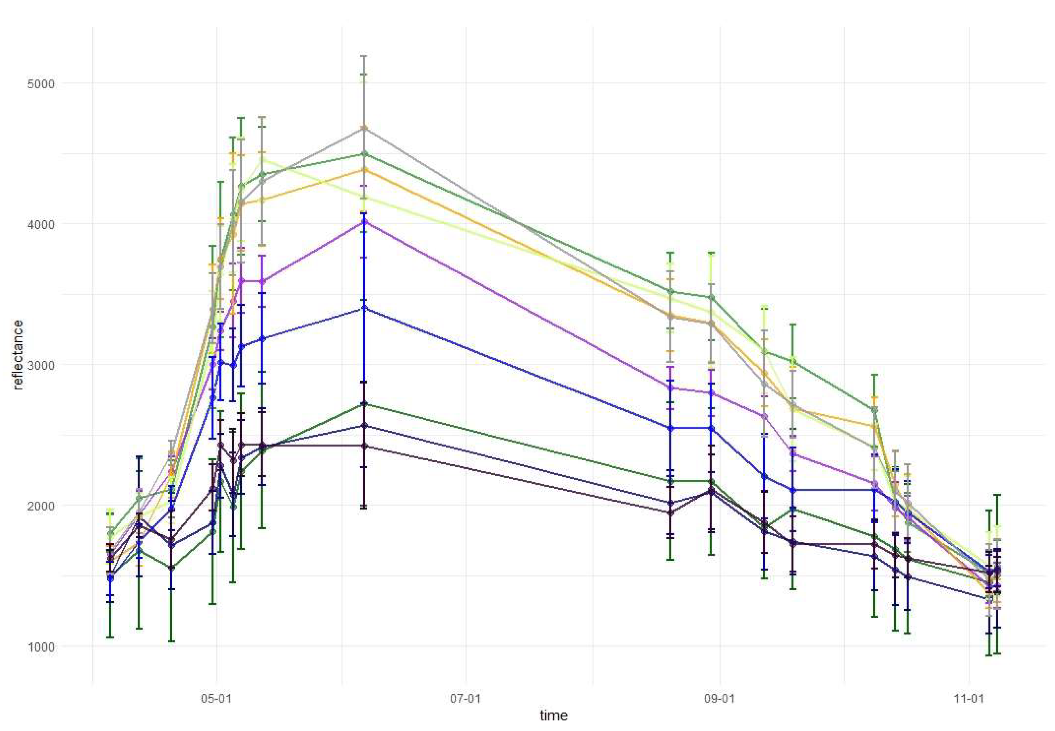
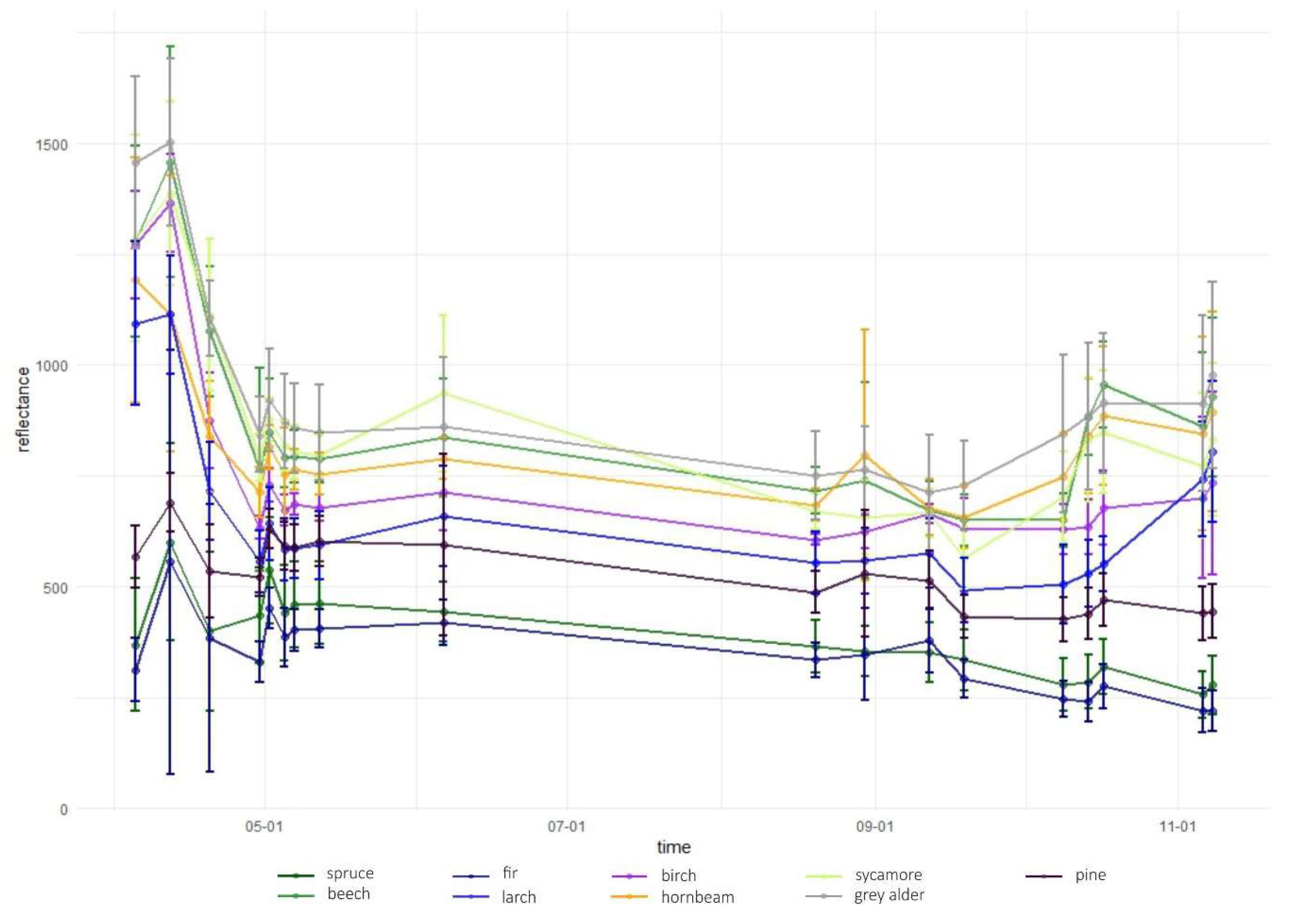
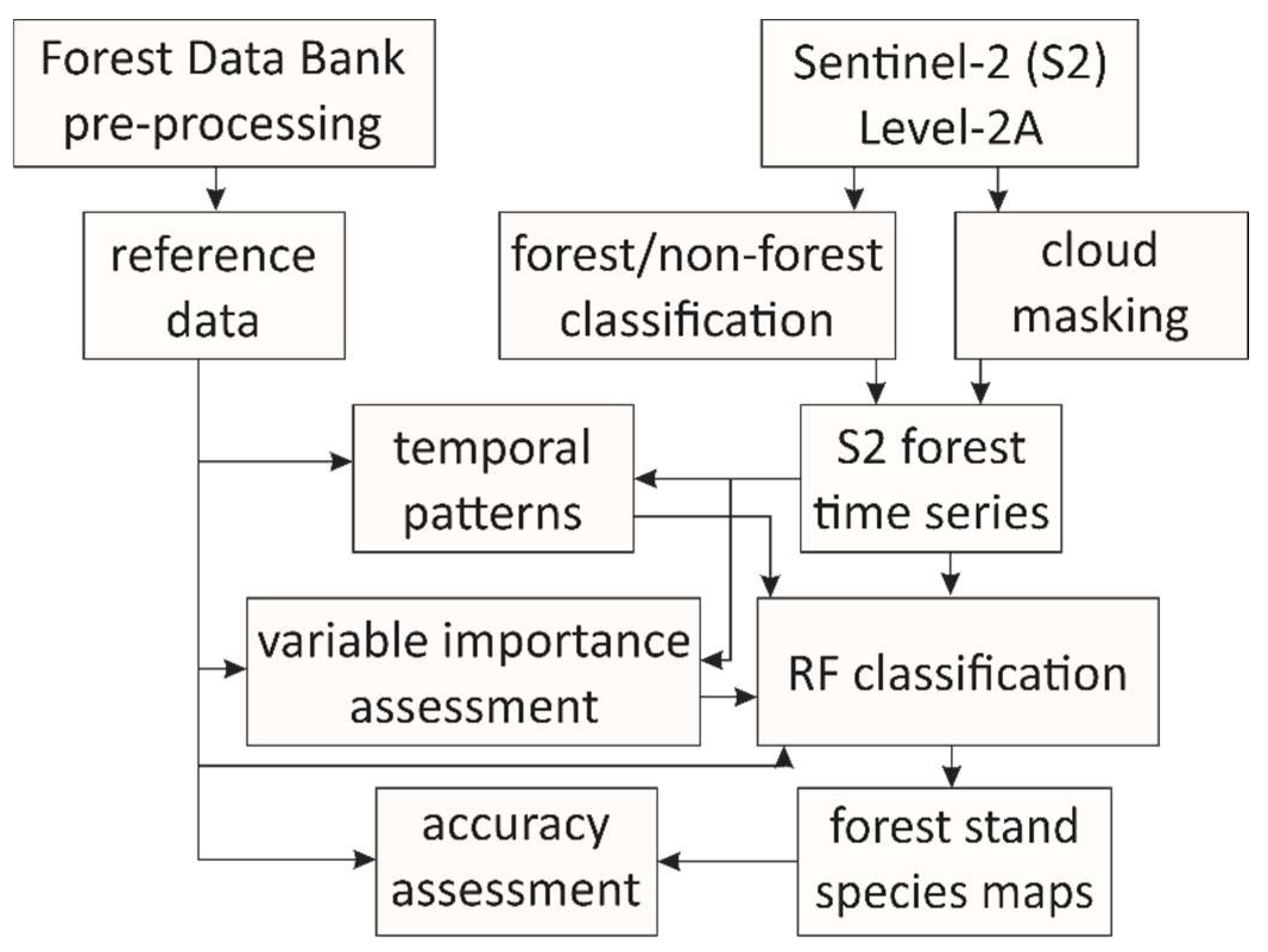
Accurate information regarding forest tree species composition is useful for a wide range of applications, both for forest management and scientific research. Remote sensing is an efficient tool for collecting spatially explicit information on forest attributes. With the launch of the Sentinel-2 mission, new opportunities have arisen for mapping tree species owing to its spatial, spectral, and temporal resolution. The short revisit cycle (five days) is crucial in vegetation mapping because of the reflectance changes caused by phenological phases. In our study, we evaluated the utility of the Sentinel-2 time series for mapping tree species in the complex, mixed forests of the Polish Carpathian Mountains. We mapped the following nine tree species: common beech, silver birch, common hornbeam, silver fir, sycamore maple, European larch, grey alder, Scots pine, and Norway spruce. We used the Sentinel-2 time series from 2018, with 18 images included in the study. Different combinations of Sentinel-2 imagery were selected based on mean decrease accuracy (MDA) and mean decrease Gini (MDG) measures, in addition to temporal phonological pattern analysis. Tree species discrimination was performed using the Random Forest classification algorithm. Our results showed that the use of the Sentinel-2 time series instead of single date imagery significantly improved forest tree species mapping, by approximately 5–10% of overall accuracy. In particular, combining images from spring and autumn resulted in better species discrimination.
Keywords: Sentinel-2; forest; time series; Random Forest; Polish Carpathians Sentinel-2; forest; time series; Random Forest; Polish Carpathians
Graphical Abstract