Article

Aerosol Optical Depth Retrieval over East Asia Using Himawari-8/AHI Data


1
Institute of Remote Sensing and Digital Earth, Chinese Academy of Sciences, Beijing 100101, China
2
Earth System Science Interdisciplinary Center, University of Maryland, College Park, MD 20742, USA
*
Author to whom correspondence should be addressed.
Remote Sens. 2018, 10(1), 137; https://doi.org/10.3390/rs10010137
Submission received: 6 December 2017 / Revised: 15 January 2018 / Accepted: 16 January 2018 / Published: 19 January 2018
(This article belongs to the Special Issue Aerosol Remote Sensing)

Abstract

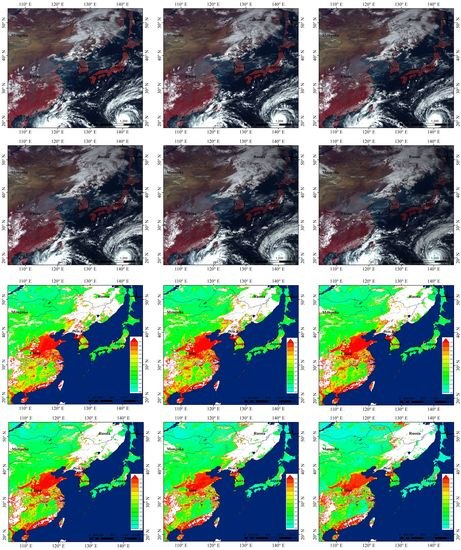
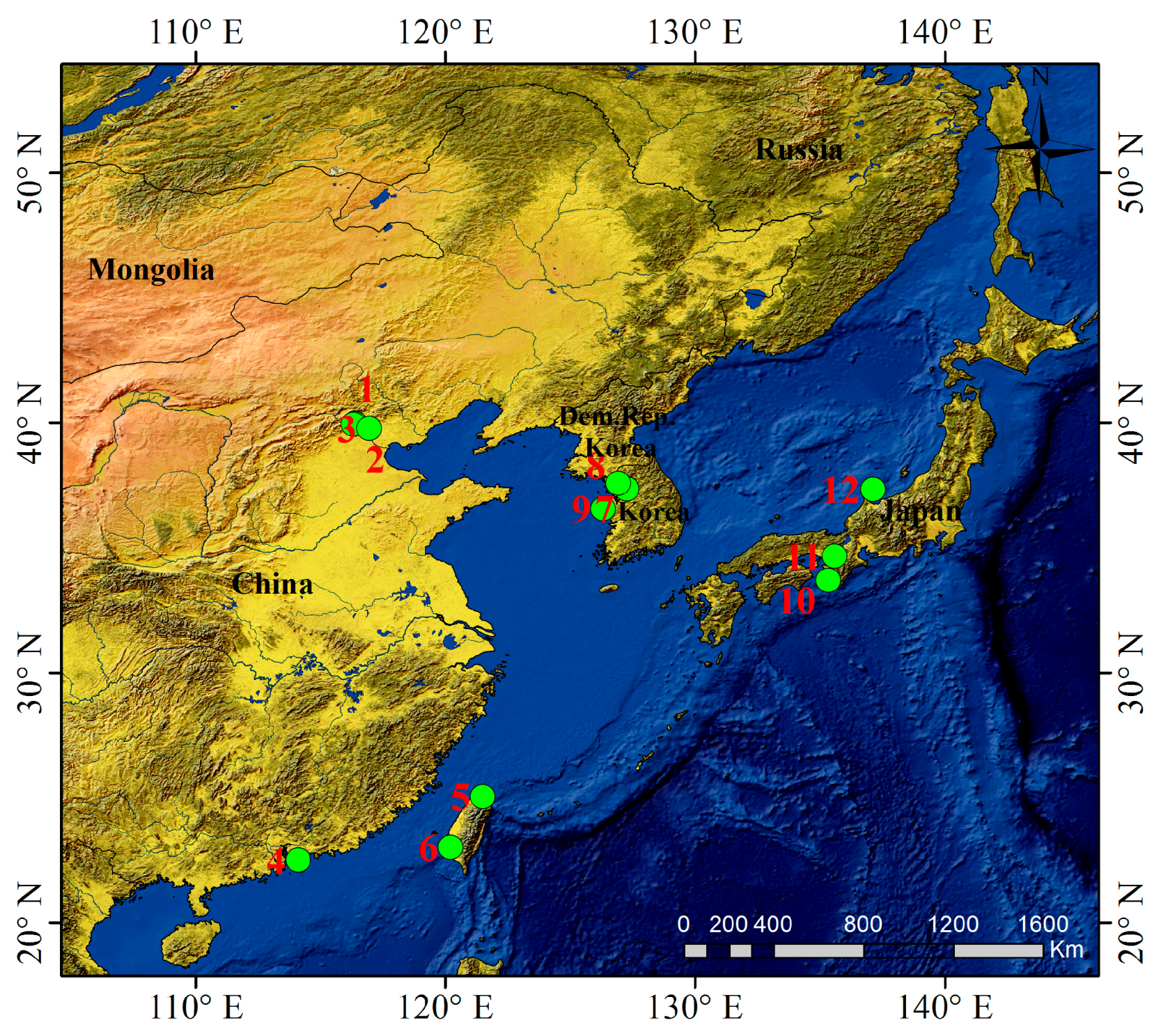
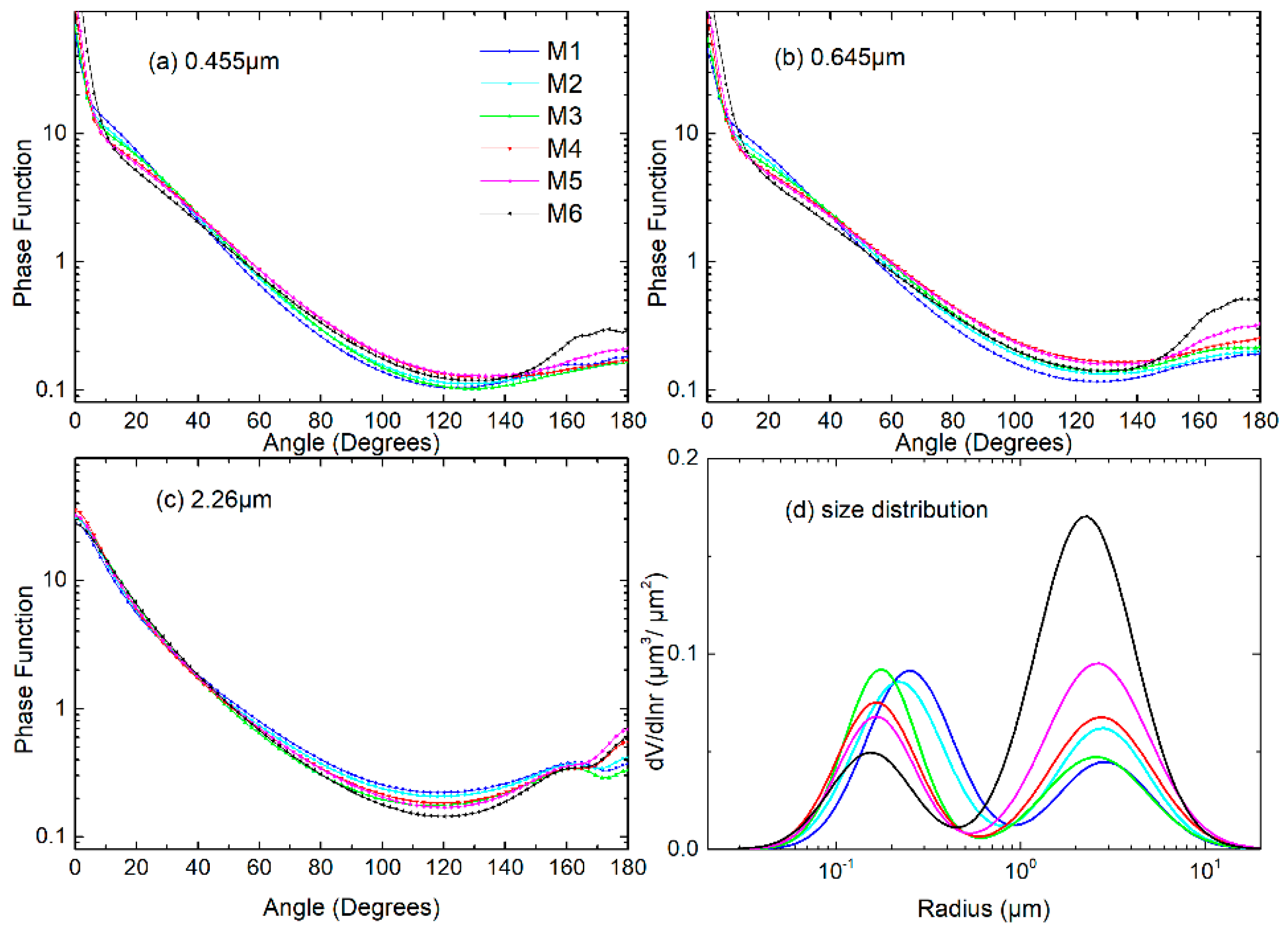
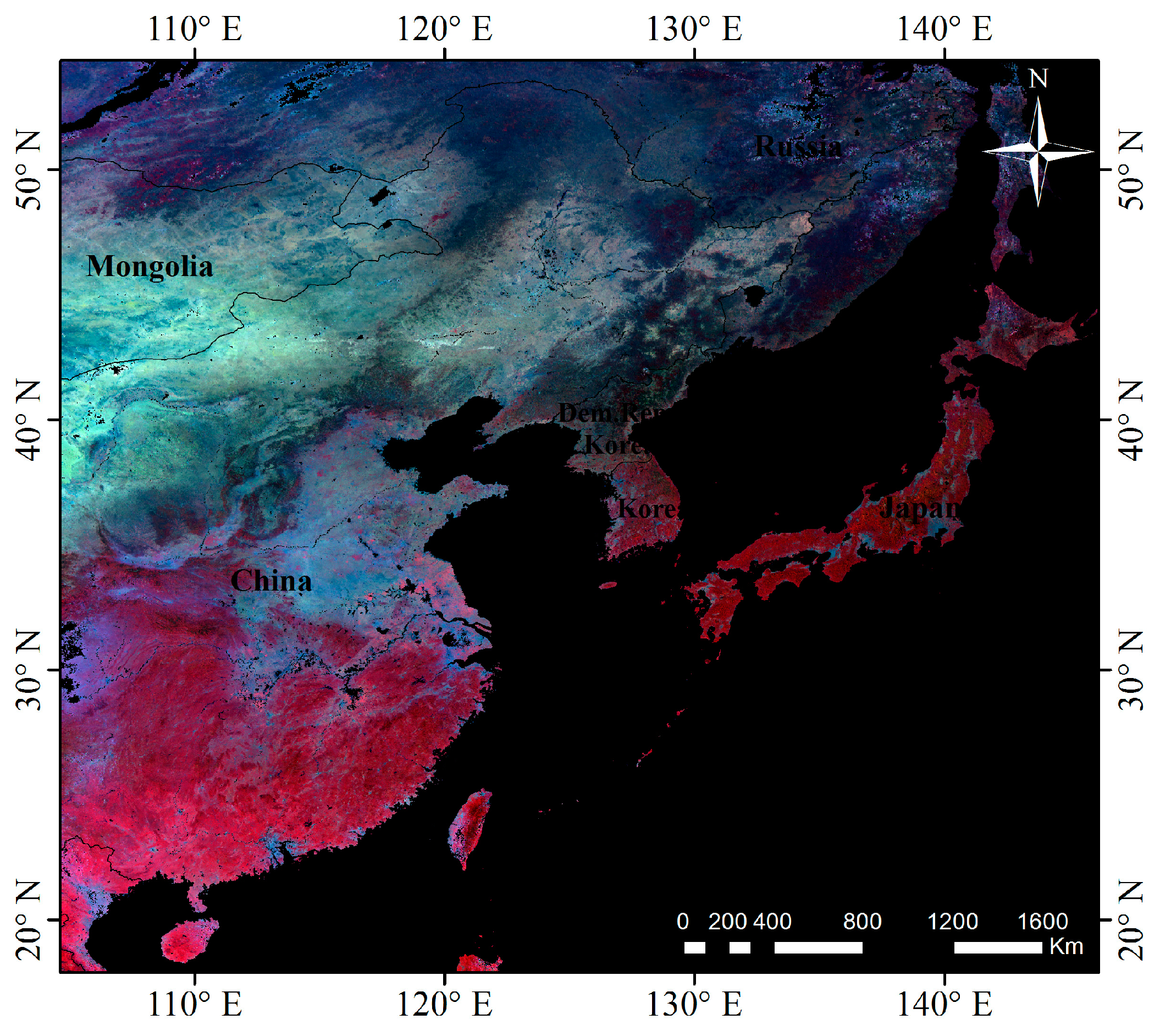
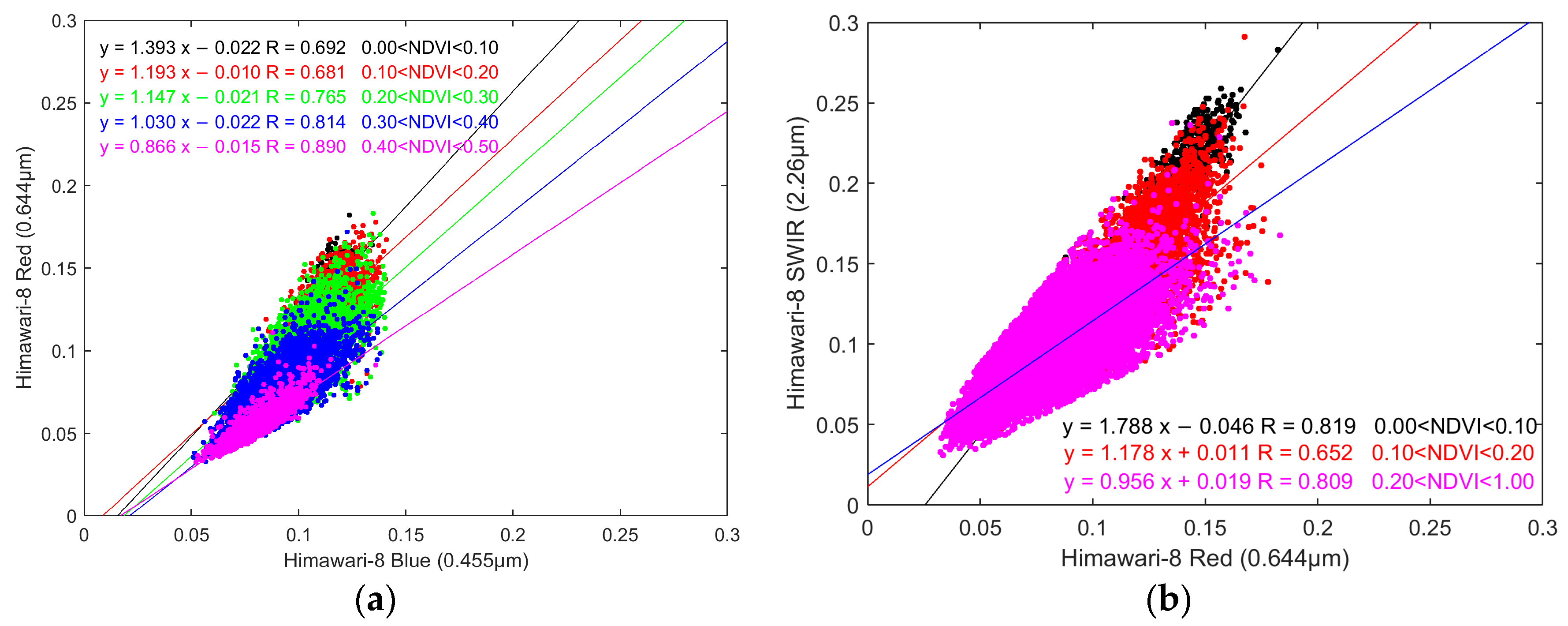
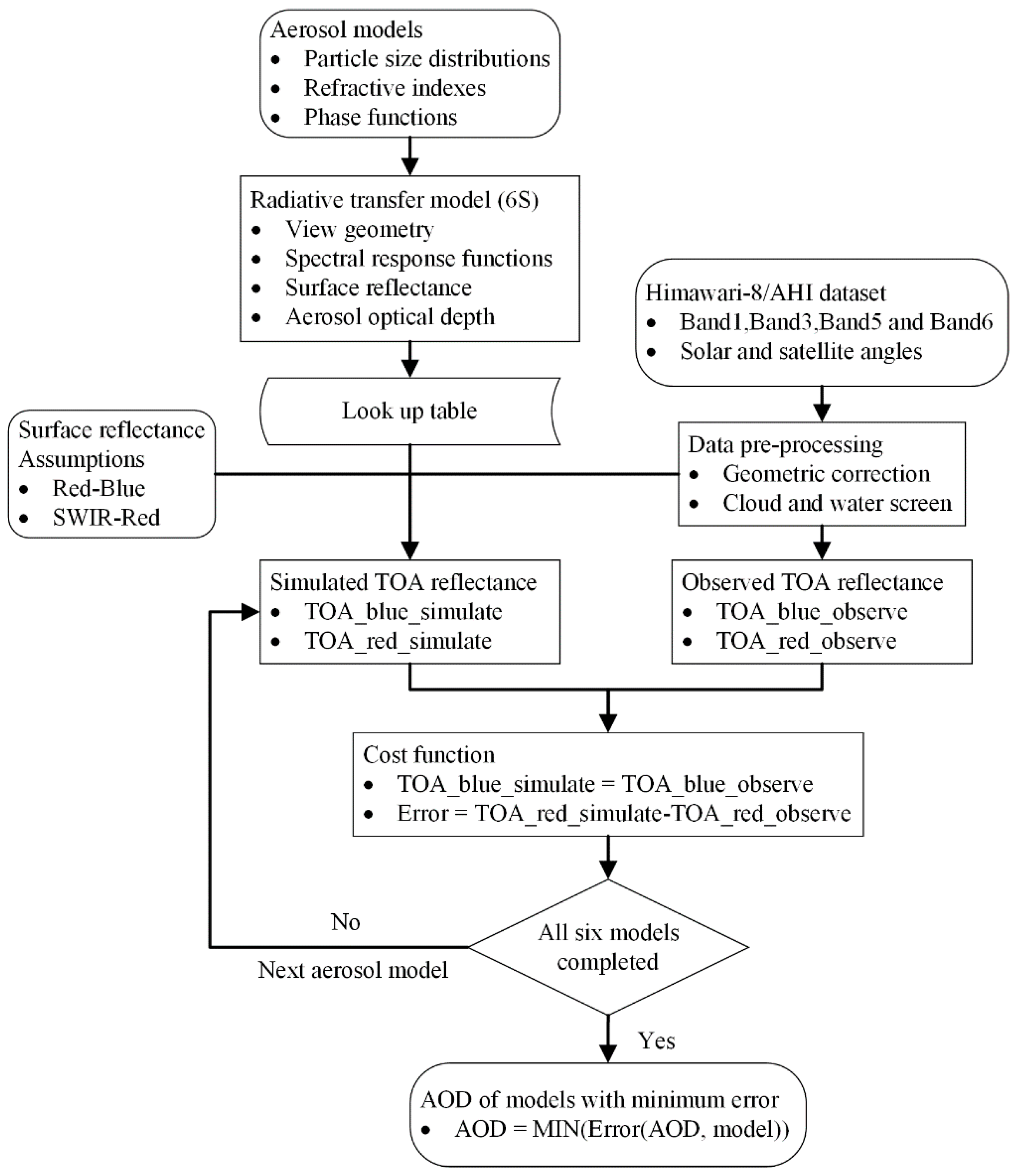
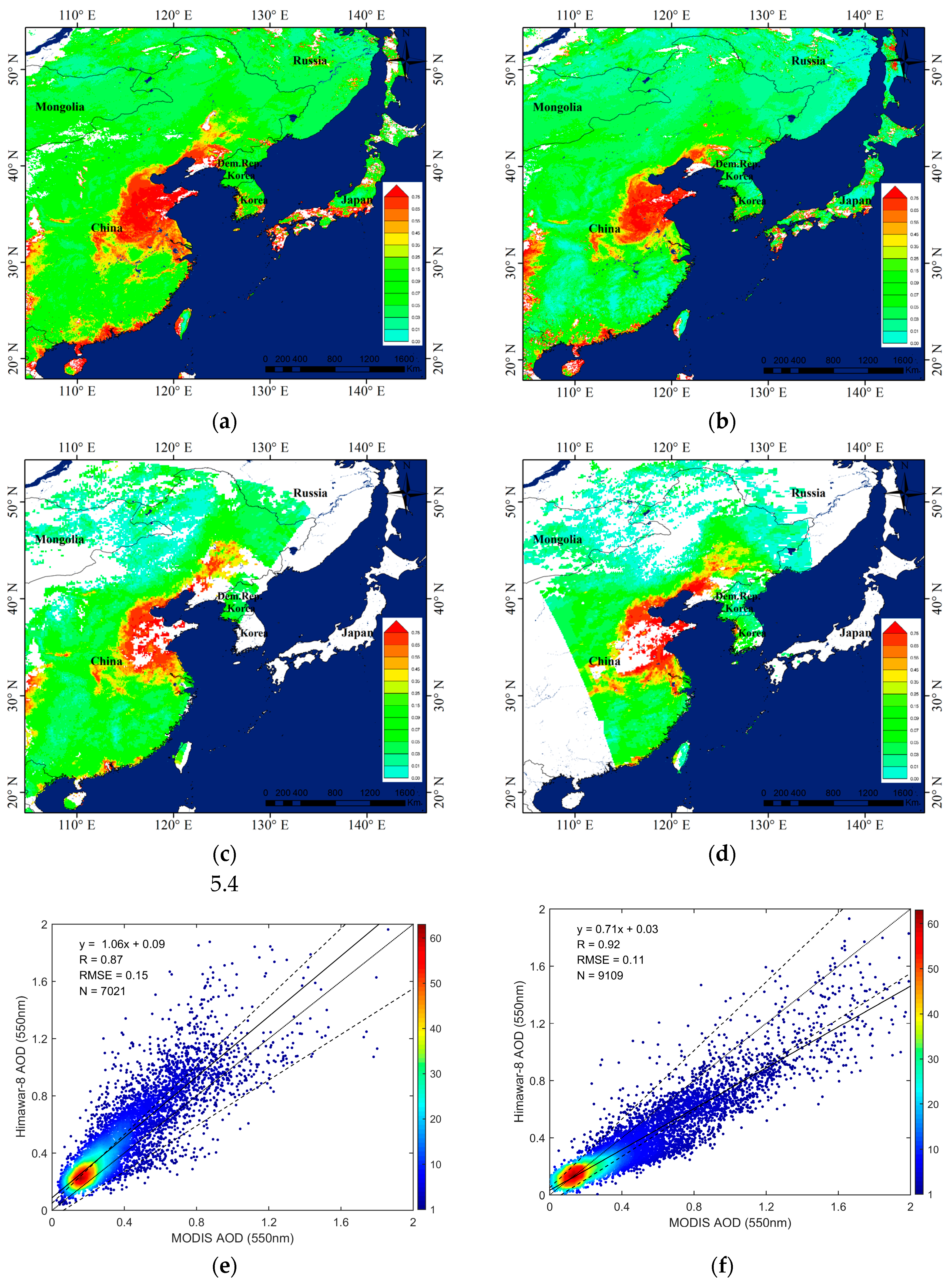
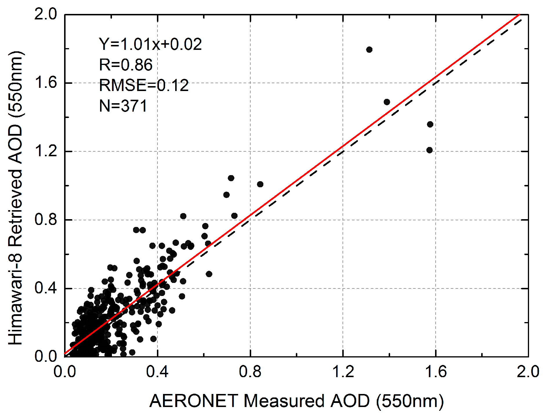
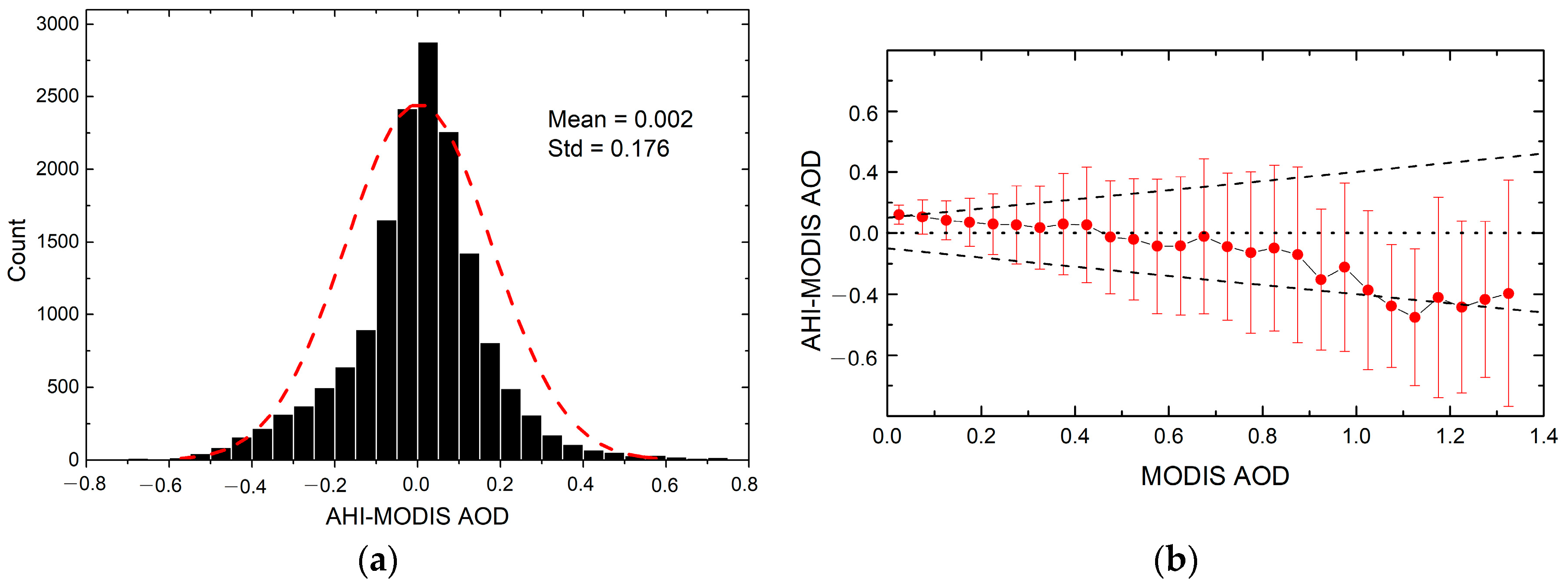
This paper presents a new algorithm to retrieve the aerosol optical depth (AOD) from a Himawari-8 Advanced Himawari Imager (AHI). Six typical aerosol models that derived from the long-term ground-based observations of East Asia are used in AOD retrieval. To accurately determine the surface reflectance, improved channel relationships between red, blue, and shortwave infrared (SWIR) are built up according to the infrared Normalized Difference Vegetation Index (NDVISWIR). Based on the new derived aerosol models and improved channel relationships, AOD over East Asian is retrieved by using the AHI data. The results are compared with Moderate Resolution Imaging Spectroradiometer (MODIS) aerosol products (MOD04 and MYD04) and yielded a correlation coefficient lager than 0.8 (R = 0.87 and 0.92, respectively). In addition, the retrieved AOD values are also validated by ground-based measurements at 12 Aerosol Robotic Network (AERONET) locations and revealed a good agreement between them (R = 0.86).
Keywords: Himawari-8/AHI; aerosol optical depth; East Asia; geostationary satellite; AERONET Himawari-8/AHI; aerosol optical depth; East Asia; geostationary satellite; AERONET
Graphical Abstract