Article

AR-Based Navigation Using RGB-D Camera and Hybrid Map
College of Information Science and Engineering, Ritsumeikan University, Shiga 525-8577, Japan
*
Author to whom correspondence should be addressed.
Sustainability 2021, 13(10), 5585; https://doi.org/10.3390/su13105585
Submission received: 31 March 2021 / Revised: 7 May 2021 / Accepted: 12 May 2021 / Published: 17 May 2021
(This article belongs to the Special Issue High Precision Positioning for Intelligent Transportation System)

Abstract

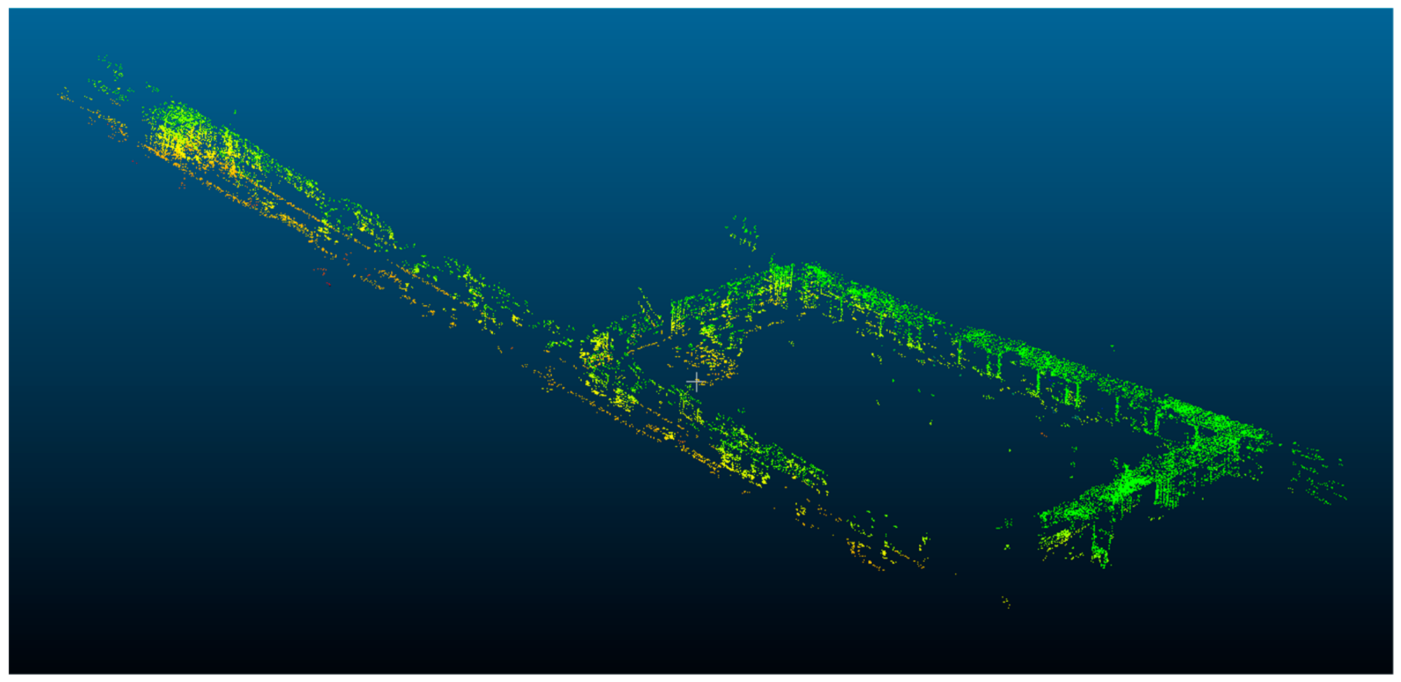
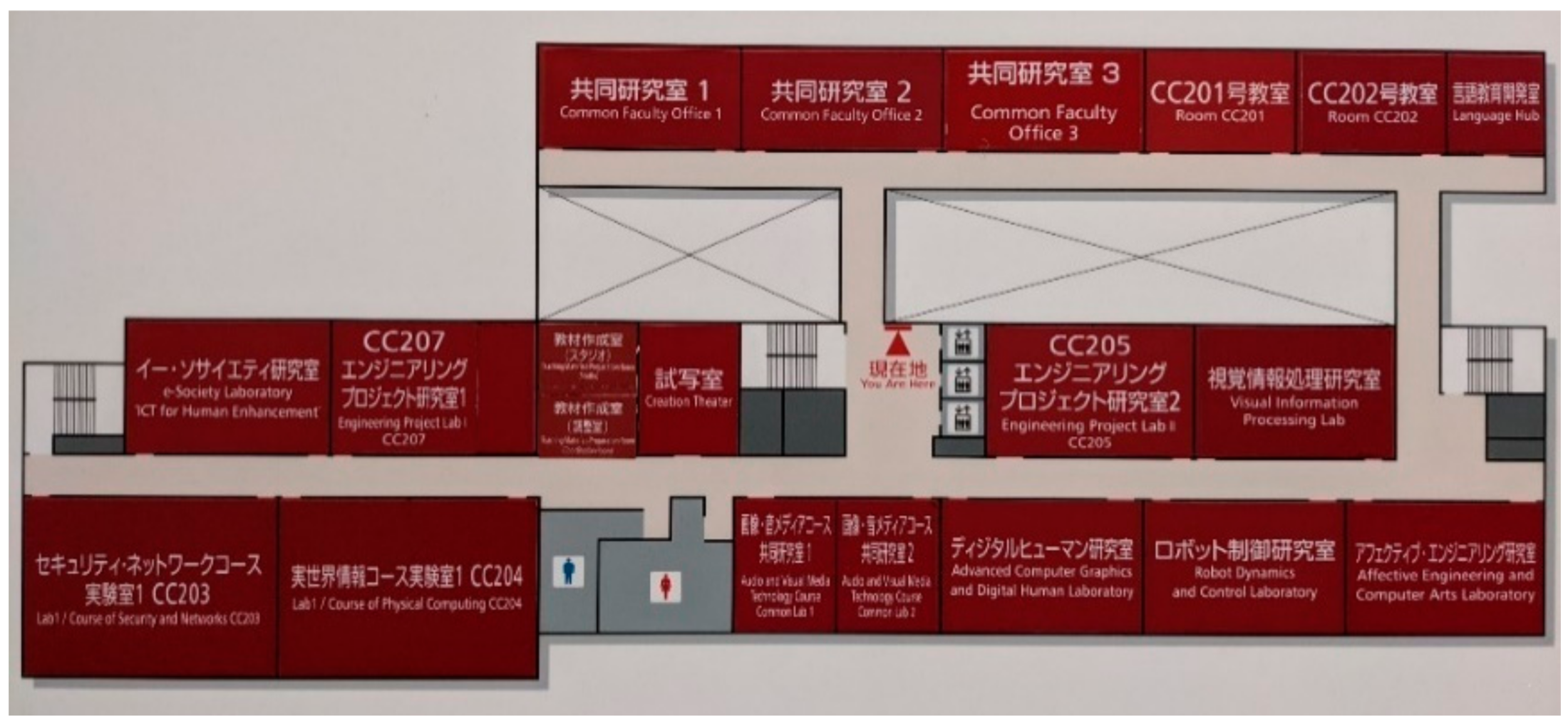
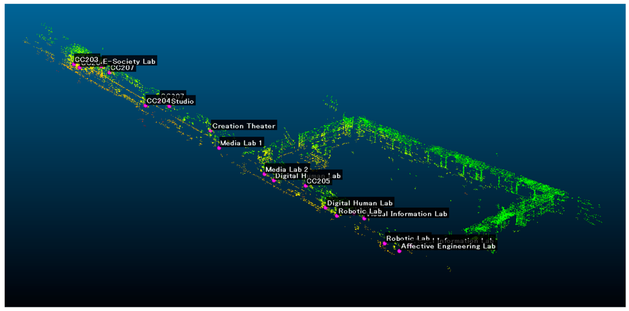
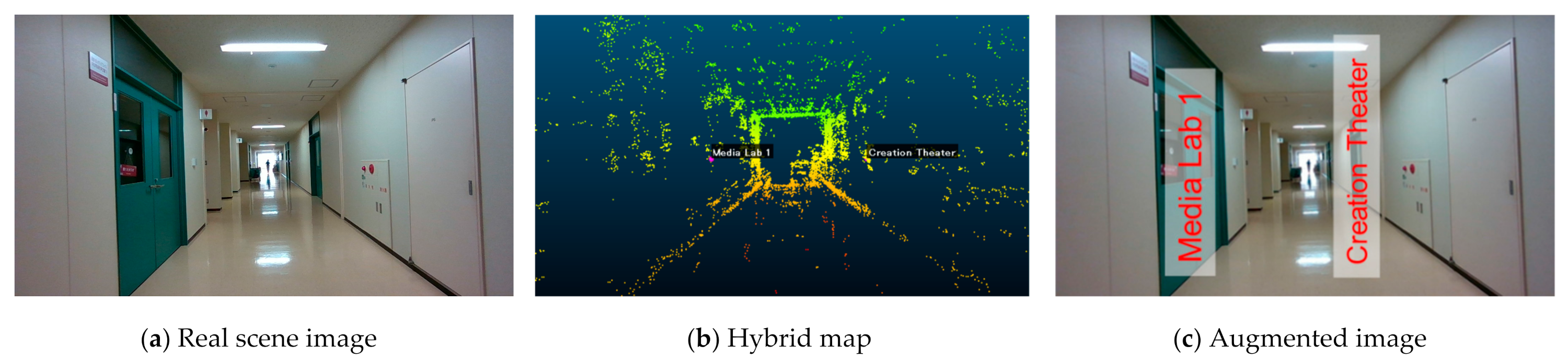
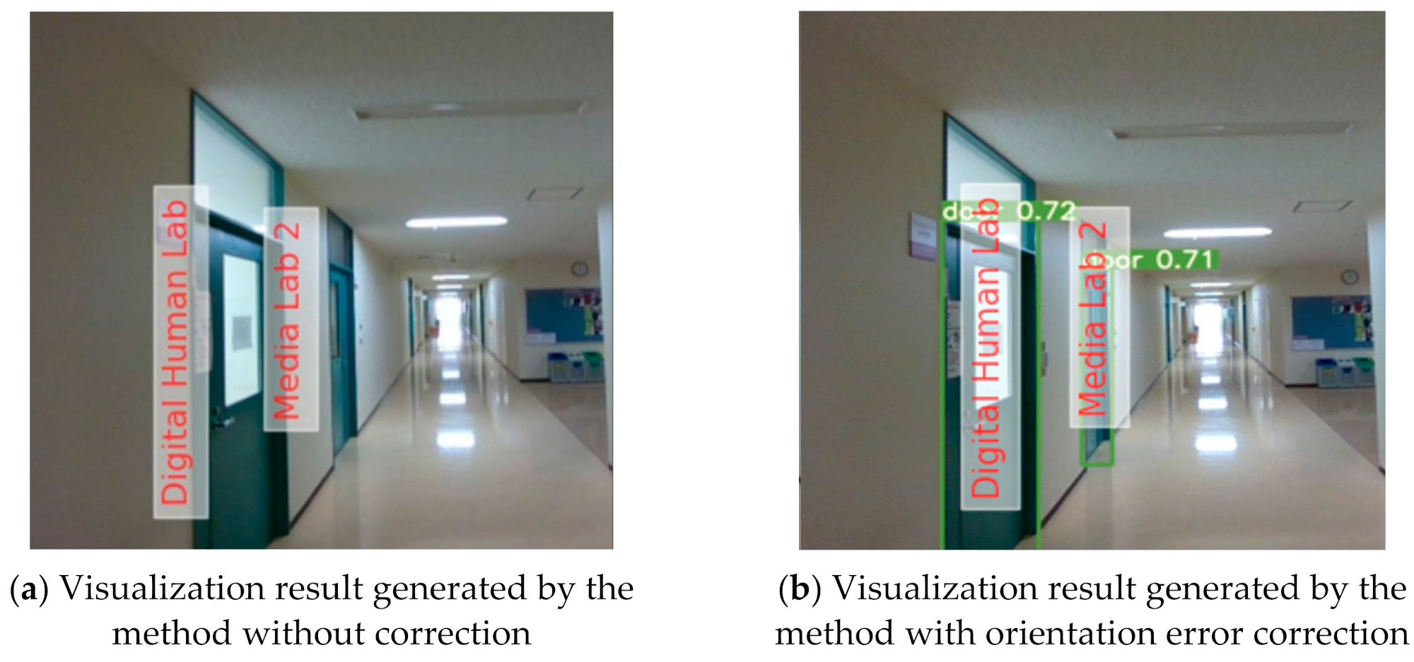
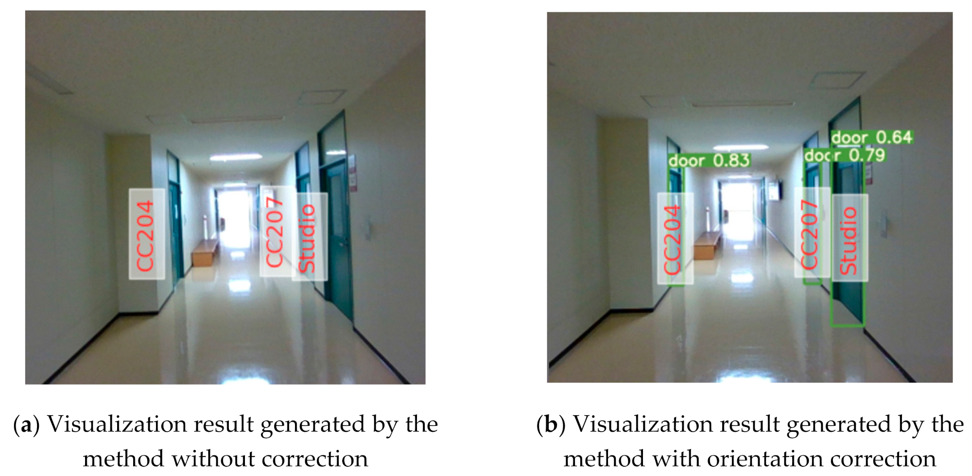
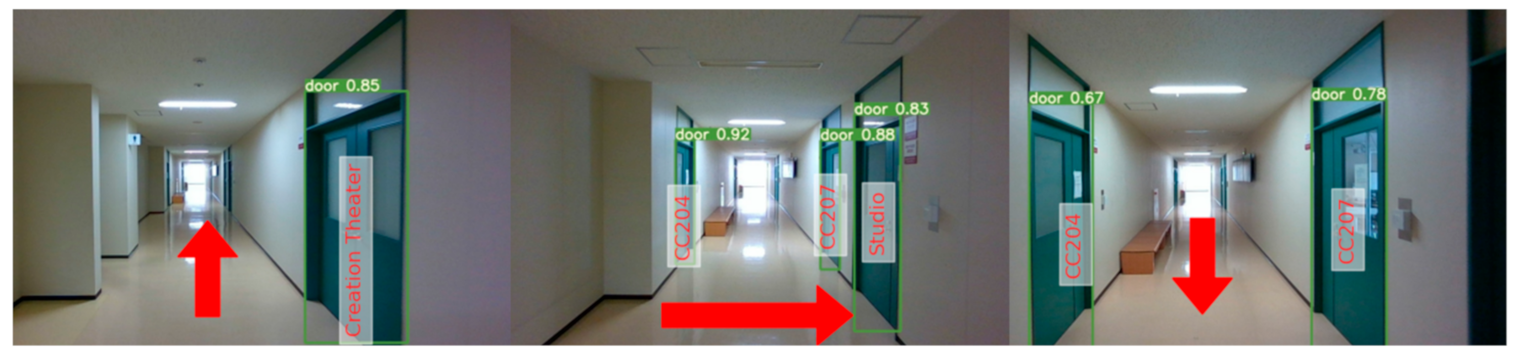
Current pedestrian navigation applications have been developed for the smartphone platform and guide users on a 2D top view map. The Augmented Reality (AR)-based navigation from the first-person view could provide a new experience for pedestrians compared to the current navigation. This research proposes a marker free system for AR-based indoor navigation. The proposed system adopts the RGB-D camera to observe the surrounding environment and builds a point cloud map using Simultaneous Localization and Mapping (SLAM) technology. After that, a hybrid map is developed by integrating the point cloud map and a floor map. Finally, positioning and navigation are performed on the proposed hybrid map. In order to visualize the augmented navigation information on the real scene seamlessly, this research proposes an orientation error correction method to improve the correctness of navigation. The experimental results indicated that the proposed system could provide first-person view navigation with satisfactory performance. In addition, compared to the baseline without any error correction, the navigation system with the orientation error correction method achieved significantly better performance. The proposed system is developed for the smart glasses and can be used as a touring tool.
Keywords: navigation; augmented reality; SLAM; map navigation; augmented reality; SLAM; map