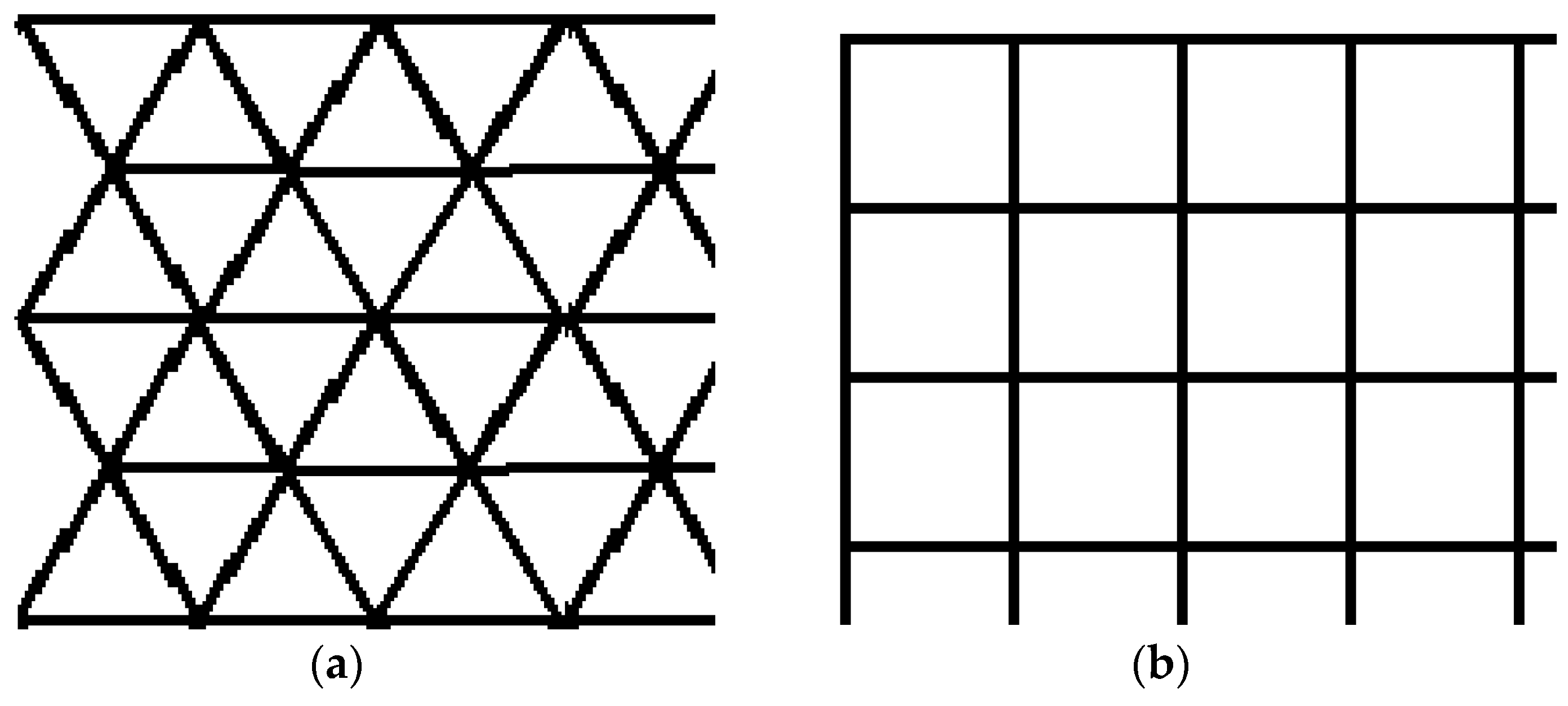
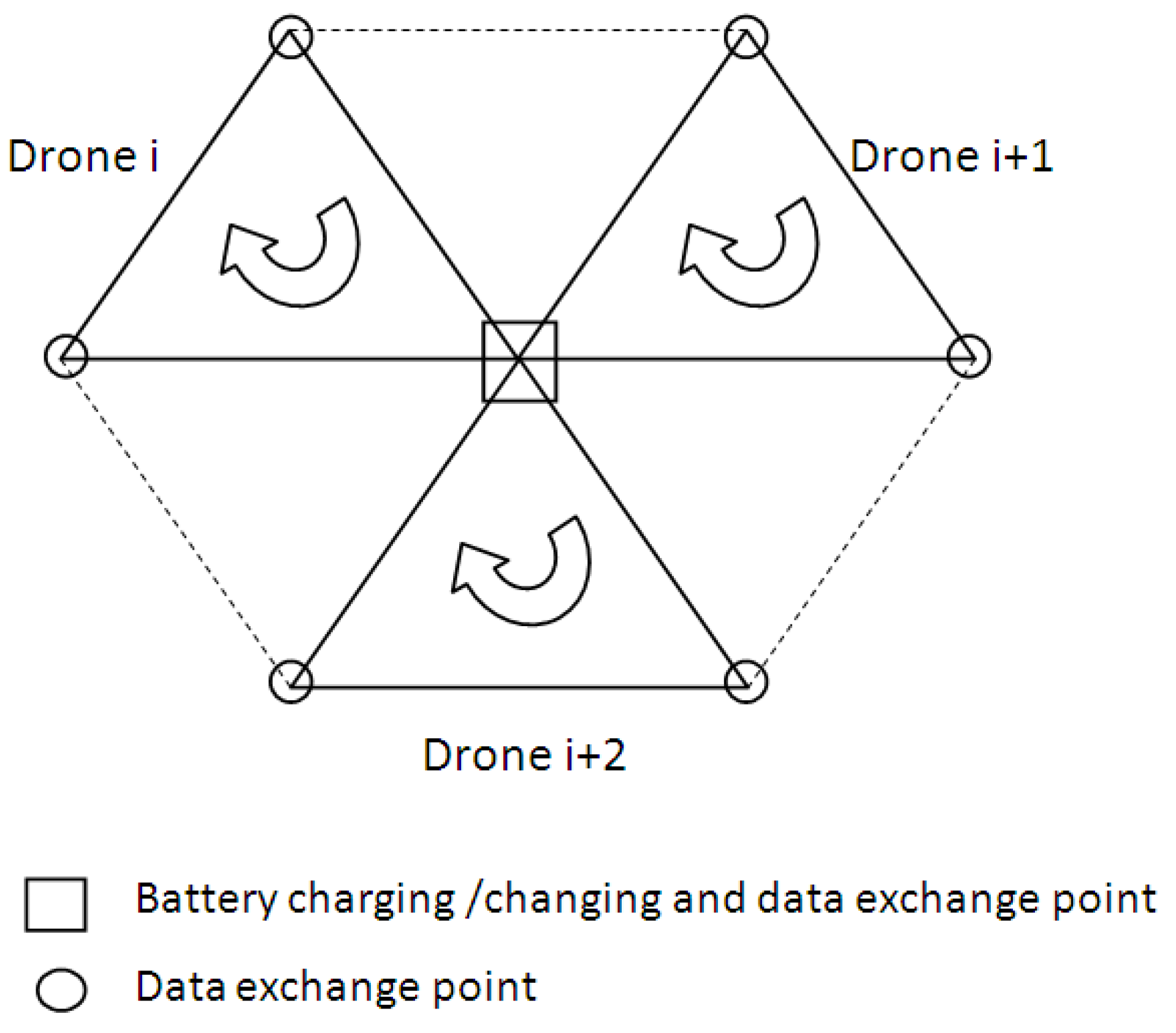
Data Delivery in a Disaster or Quarantined Area Divided into Triangles Using DTN-Based Algorithms for Unmanned Aerial Vehicles



Abstract
Share and Cite
Udroiu, R.; Deaconu, A.M.; Nanau, C.-Ş. Data Delivery in a Disaster or Quarantined Area Divided into Triangles Using DTN-Based Algorithms for Unmanned Aerial Vehicles. Sensors 2021, 21, 3572. https://doi.org/10.3390/s21113572
Udroiu R, Deaconu AM, Nanau C-Ş. Data Delivery in a Disaster or Quarantined Area Divided into Triangles Using DTN-Based Algorithms for Unmanned Aerial Vehicles. Sensors. 2021; 21(11):3572. https://doi.org/10.3390/s21113572
Chicago/Turabian StyleUdroiu, Razvan, Adrian Marius Deaconu, and Corina-Ştefania Nanau. 2021. "Data Delivery in a Disaster or Quarantined Area Divided into Triangles Using DTN-Based Algorithms for Unmanned Aerial Vehicles" Sensors 21, no. 11: 3572. https://doi.org/10.3390/s21113572
APA StyleUdroiu, R., Deaconu, A. M., & Nanau, C.-Ş. (2021). Data Delivery in a Disaster or Quarantined Area Divided into Triangles Using DTN-Based Algorithms for Unmanned Aerial Vehicles. Sensors, 21(11), 3572. https://doi.org/10.3390/s21113572