Topic Editors


Innovative Approaches in Geospatial Analysis and Modeling of Urban Environments
Topic Information
Dear Colleagues,
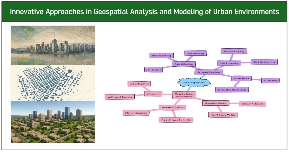
Geospatial analysis and modeling provide the foundation for understanding, interpreting, and shaping the dynamics of urban environments. With rapid urbanization, population growth, environmental pressures, and other factors, new approaches are needed to address the complex sustainability and planning challenges that are emerging. Advances in geospatial science offer unprecedented opportunities to develop innovative methods and applications that transform how urban areas are studied, managed, and experienced.
In this Topic, we invite manuscripts that address the challenges and opportunities in understanding the spatial and temporal dimensions of urban systems through the lens of traditional geospatial technologies, as well as emerging technologies such as artificial intelligence and machine learning. Submissions may include, but are not limited to, themes such as the following:
- GeoAI for Urban Analysis;
- Data-Driven Urban Geospatial Science;
- Spatial Statistics for Urban Analytics;
- Urban Dynamics and Land Use Land Cover Change;
- Advanced Urban Modeling and Simulation;
- Human–Environment Interactions;
- Participatory and Collaborative Analysis Approaches;
- Interoperability and Data and Model Integration.
We expect that contributions will converge on key urban challenges such as land-use and land-cover transformations, climate adaptation, and the impacts of rapid population growth, among others.
The topic "Innovative Approaches in Geospatial Analysis and Modeling of Urban Environments” provides an outlet to publish original research and application papers. We invite you to revisit established directions and chart new frontiers in the science and practice of geospatial analysis and modeling. We look forward to your contributions.
Dr. Shivanand Balram
Prof. Dr. Eric Vaz
Prof. Dr. Suzana Dragicevic
Topic Editors
Keywords
- big data analytics
- GeoAI
- GIScience
- spatial analysis
- spatial decision-making
- spatial modeling
- urban informatics
- urban sustainability
Participating Journals
| Journal Name | Impact Factor | CiteScore | Launched Year | First Decision (median) | APC | |
|---|---|---|---|---|---|---|
|
Environments
|
3.7 | 5.7 | 2014 | 19.2 Days | CHF 1800 | Submit |
|
Geographies
|
1.7 | 2.9 | 2021 | 19.5 Days | CHF 1200 | Submit |
|
Geomatics
|
2.8 | 5.1 | 2021 | 22.6 Days | CHF 1200 | Submit |
|
ISPRS International Journal of Geo-Information
|
2.8 | 7.2 | 2012 | 33.1 Days | CHF 1900 | Submit |
|
Land
|
3.2 | 5.9 | 2012 | 17.5 Days | CHF 2600 | Submit |
|
Urban Science
|
2.9 | 3.7 | 2017 | 21.6 Days | CHF 1800 | Submit |
![]()
Preprints.org is a multidisciplinary platform offering a preprint service designed to facilitate the early sharing of your research. It supports and empowers your research journey from the very beginning.
MDPI Topics is collaborating with Preprints.org and has established a direct connection between MDPI journals and the platform. Authors are encouraged to take advantage of this opportunity by posting their preprints at Preprints.org prior to publication:
- Share your research immediately: disseminate your ideas prior to publication and establish priority for your work.
- Safeguard your intellectual contribution: Protect your ideas with a time-stamped preprint that serves as proof of your research timeline.
- Boost visibility and impact: Increase the reach and influence of your research by making it accessible to a global audience.
- Gain early feedback: Receive valuable input and insights from peers before submitting to a journal.
- Ensure broad indexing: Web of Science (Preprint Citation Index), Google Scholar, Crossref, SHARE, PrePubMed, Scilit and Europe PMC.