Technical Note

Temperature Profiling of Waterbodies with a UAV-Integrated Sensor Subsystem


Department of Agricultural Sciences, Clemson University, Clemson, SC 29634, USA
*
Author to whom correspondence should be addressed.
Drones 2020, 4(3), 35; https://doi.org/10.3390/drones4030035
Submission received: 21 June 2020 / Revised: 18 July 2020 / Accepted: 19 July 2020 / Published: 21 July 2020
(This article belongs to the Special Issue Feature Papers of Drones)

Abstract

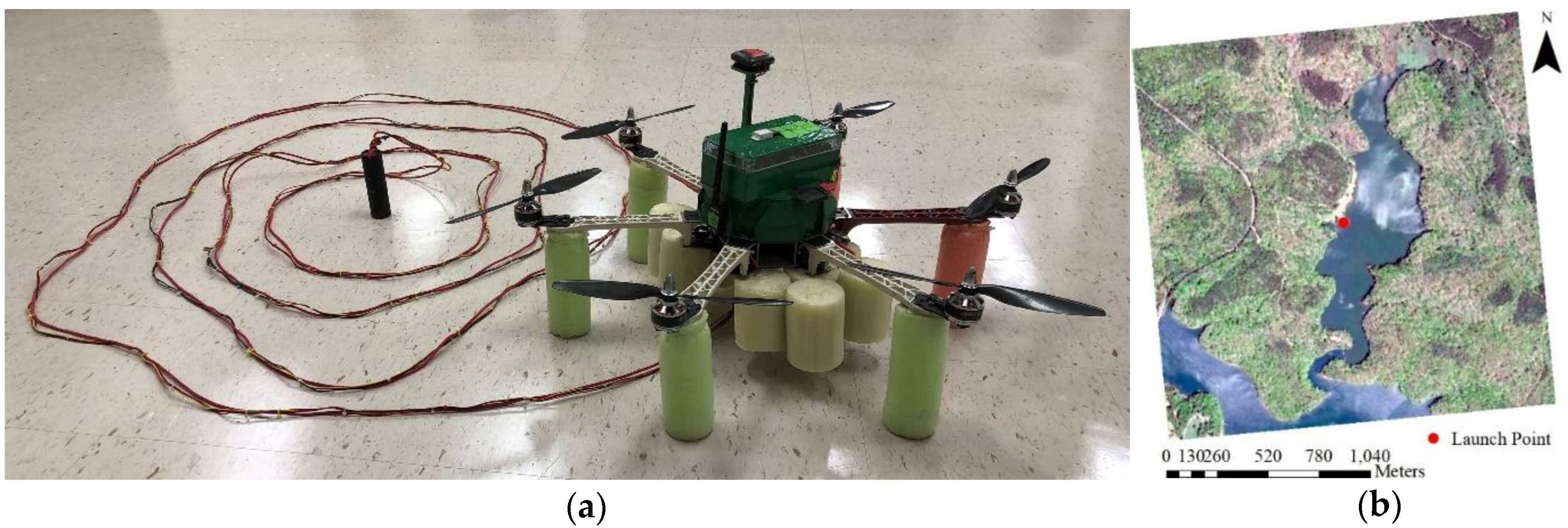
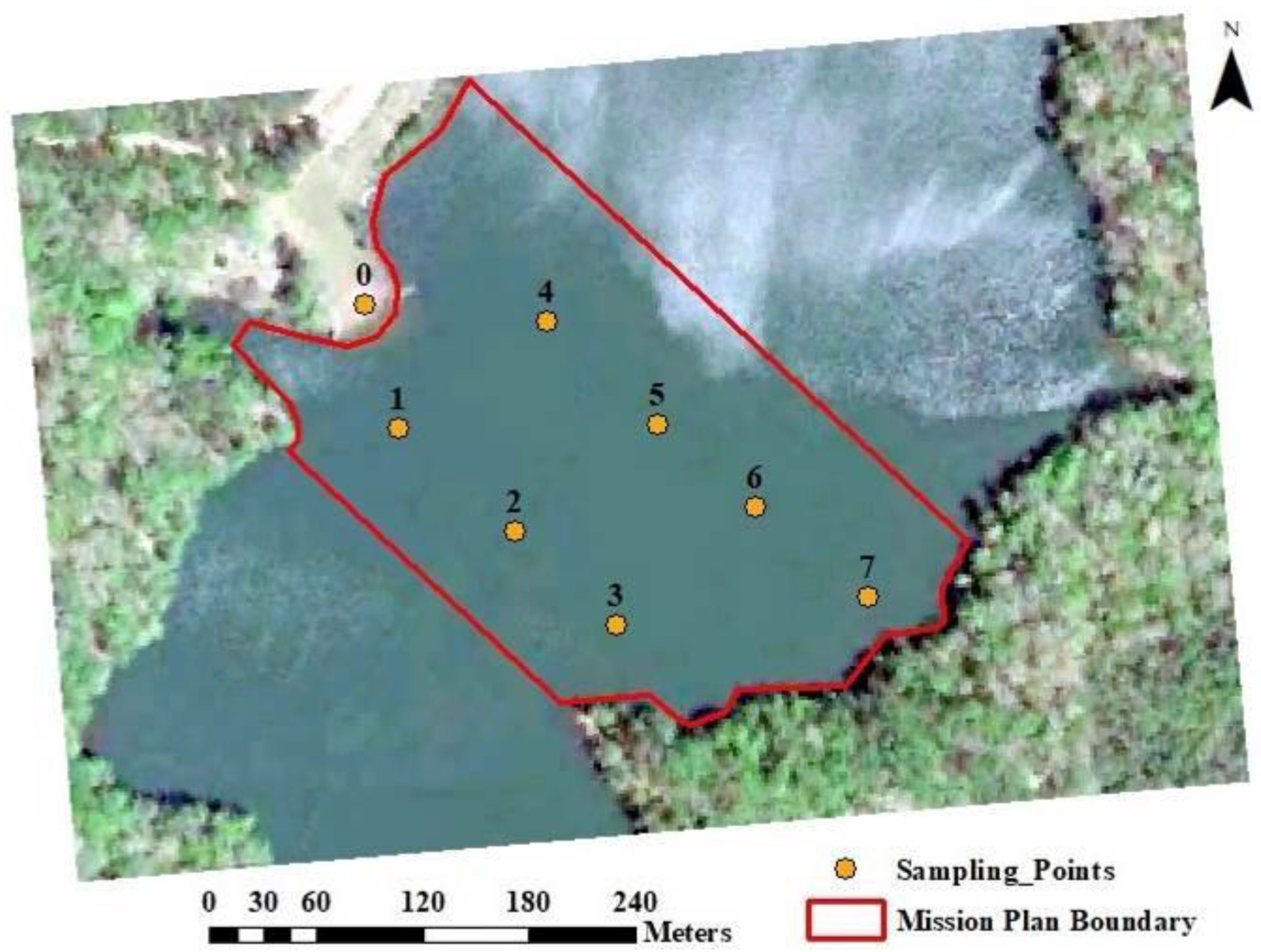
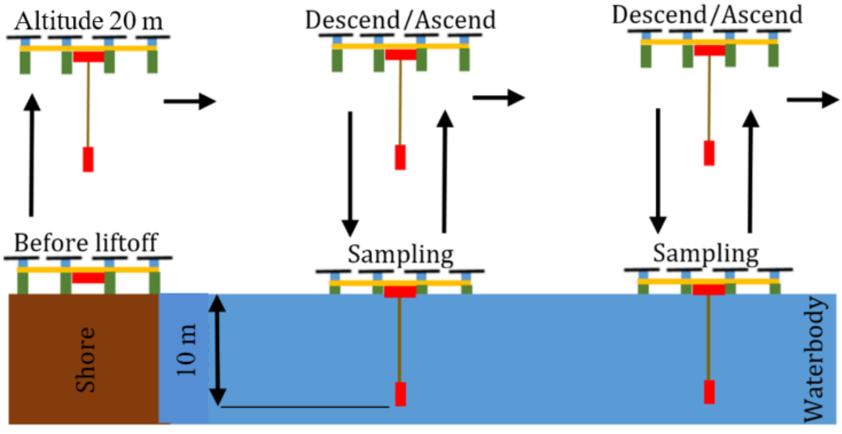
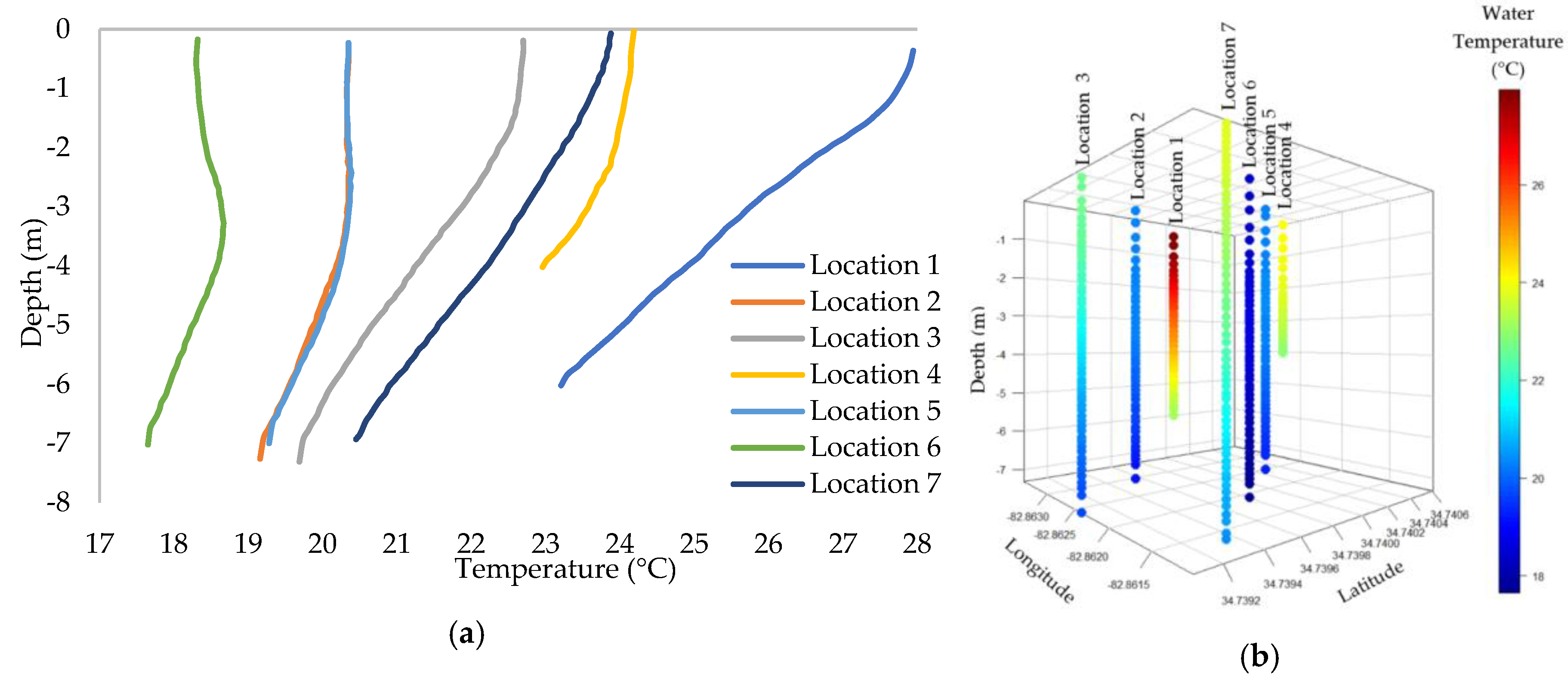
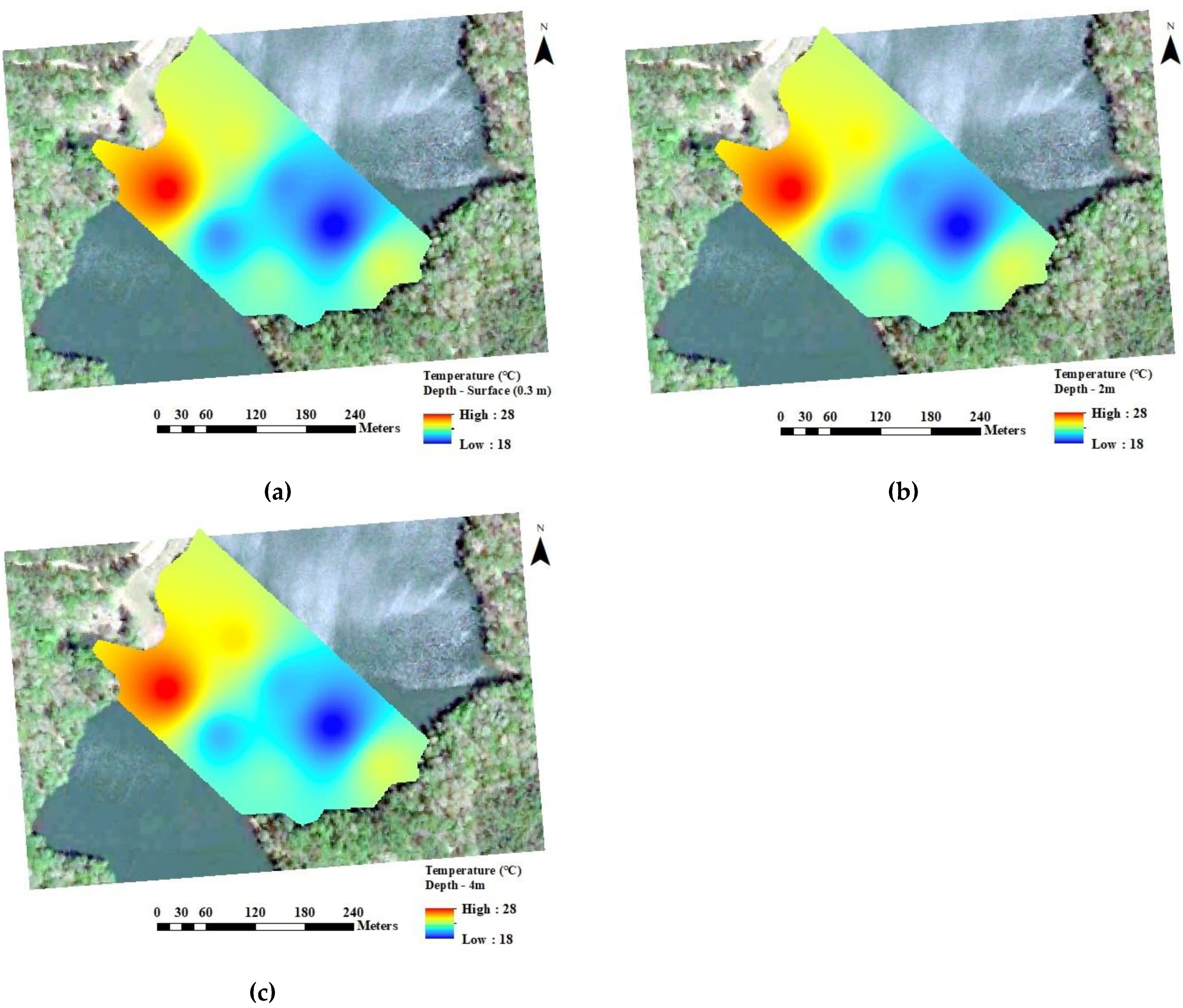
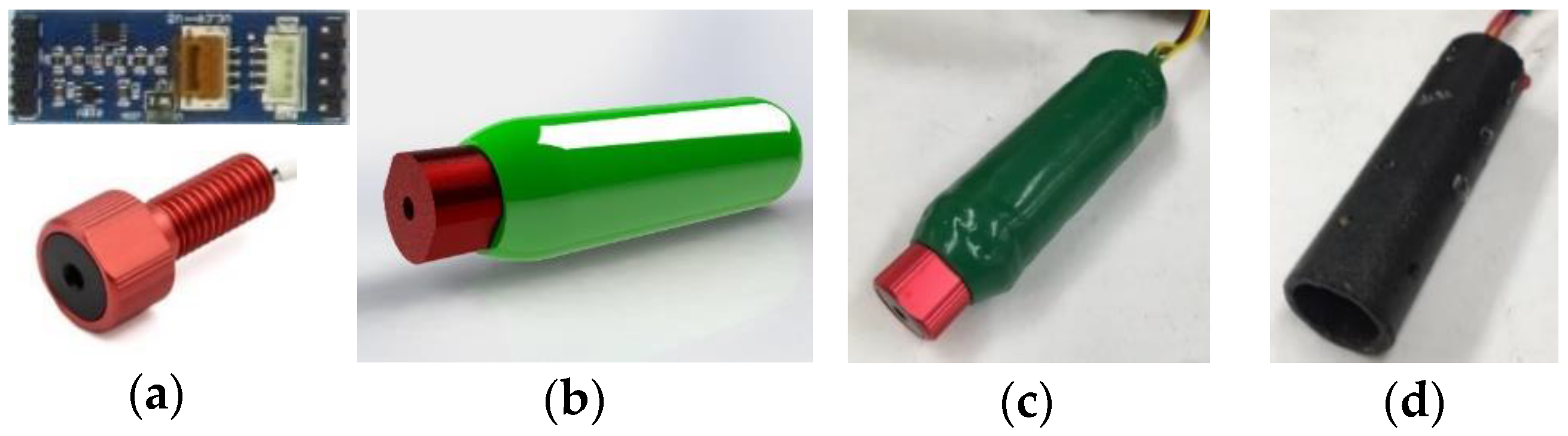
Evaluation of thermal stratification and systematic monitoring of water temperature are required for lake management. Water temperature profiling requires temperature measurements through a water column to assess the level of thermal stratification which impacts oxygen content, microbial growth, and distribution of fish. The objective of this research was to develop and assess the functions of a water temperature profiling system mounted on a multirotor unmanned aerial vehicle (UAV). The buoyancy apparatus mounted on the UAV allowed vertical takeoff and landing on the water surface for in situ measurements. The sensor node that was integrated with the UAV consisted of a microcontroller unit, a temperature sensor, and a pressure sensor. The system measured water temperature and depth from seven pre-selected locations in a lake using autonomous navigation with autopilot control. Measurements at 100 ms intervals were made while the UAV was descending at 2 m/s until it landed on water surface. Water temperature maps of three consecutive depths at each location were created from the measurements. The average surface water temperature at 0.3 m was 22.5 °C, while the average water temperature at 4 m depth was 21.5 °C. The UAV-based profiling system developed successfully performed autonomous water temperature measurements within a lake.
Keywords: autonomous; hexacopter; water quality; water stratification; water temperature autonomous; hexacopter; water quality; water stratification; water temperature