Article

Interactive Thematic Map as a Means of Documenting and Visualizing Information about Cultural Heritage Objects

by
Tymoteusz Horbiński
* and
Maciej Smaczyński
Department of Cartography and Geomatics, Adam Mickiewicz University, 61-712 Poznań, Poland
*
Author to whom correspondence should be addressed.
ISPRS Int. J. Geo-Inf. 2023, 12(7), 257; https://doi.org/10.3390/ijgi12070257
Submission received: 20 April 2023 / Revised: 14 June 2023 / Accepted: 19 June 2023 / Published: 27 June 2023

Abstract

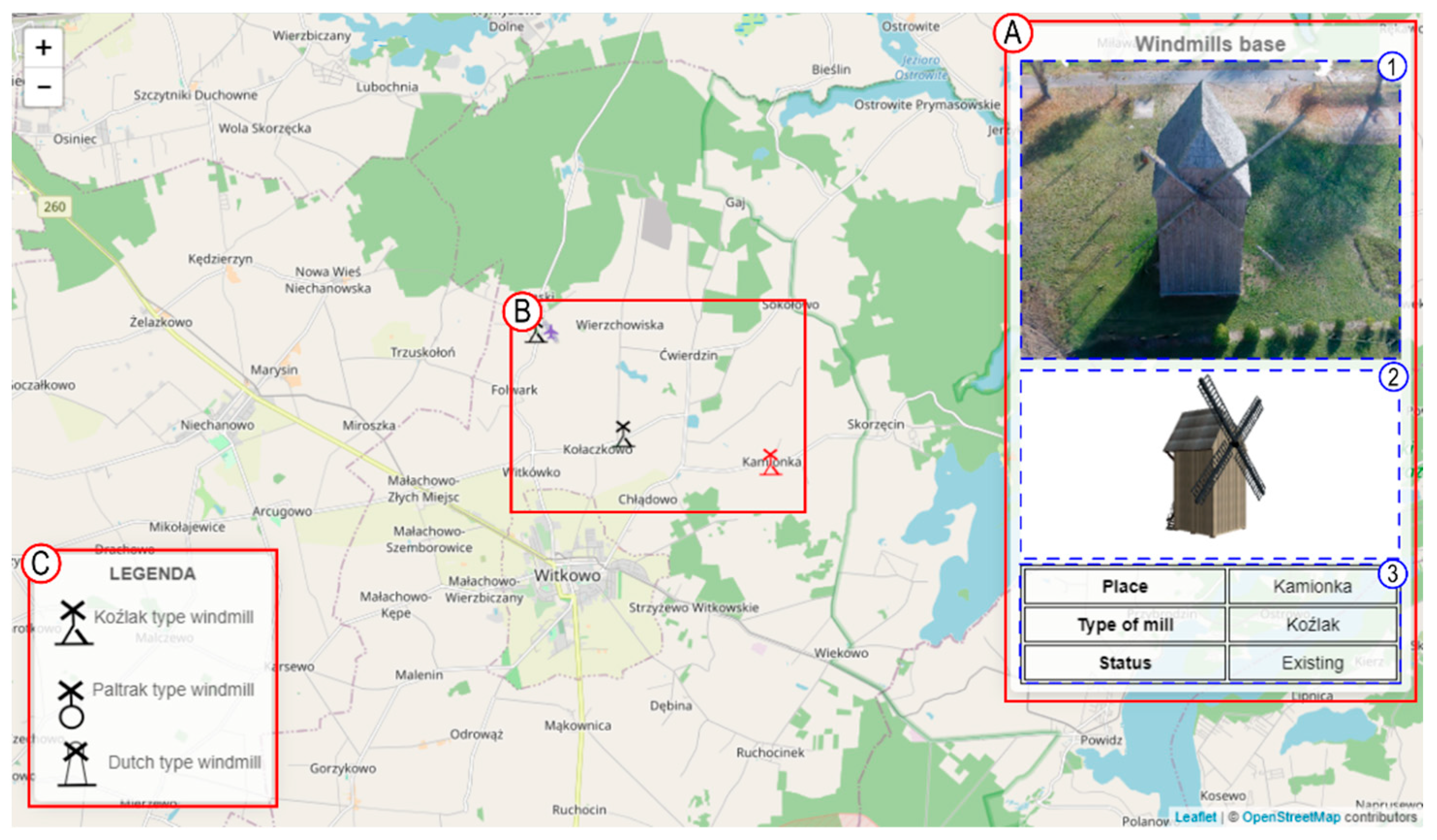
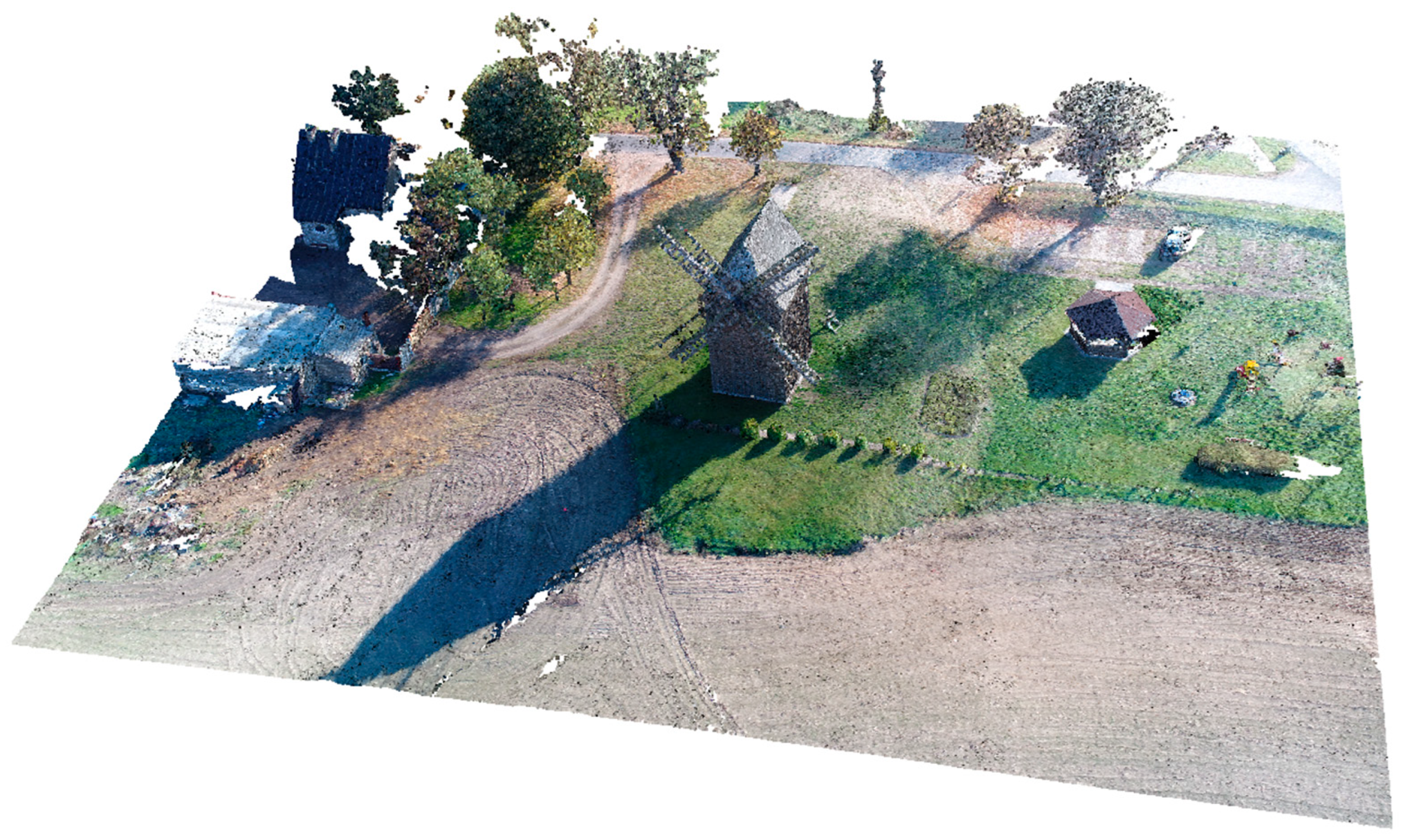
Technological progress in recent decades has made it possible to develop the process of documentation and visualization of cultural heritage objects. Despite numerous studies dealing with the documentation of cultural heritage objects, no standardized research methodology has yet been developed in this field. The interest of many specialists from different fields carrying out different work related to the documentation of cultural heritage objects has resulted in a large amount of data, which causes problems in its processing and visualization. As a rule, researchers focus on one method of data collection and, consequently, on one type of data visualization. The documentation of cultural heritage is very important. Therefore, the authors of this article have aimed to develop a methodological data collection process for the documentation and visualization of information about cultural heritage objects. This is particularly important in light of the development of new methods of measuring and inventorying cultural heritage objects, such as laser scanning or low-level aerial photogrammetry. The authors recognize the need to systematize the methodology of collecting and processing data on cultural heritage objects. In addition, it is critical to develop a methodology for visualizing the acquired data using terrestrial laser scanning (TLS) and unmanned aerial vehicle (UAV) technology. One of the most important assumptions of the article is to have universally understandable information about the object. The type of documentation and visualization of information developed in the article will be an interactive thematic map (using Leaflet.js and Three.js). Such a map will allow to collect and visualize all kinds of data, from attribute data to 3D models.
Keywords: cultural heritage; interactive thematic map; documentation process; model 3D; Leaflet.js; Three.js cultural heritage; interactive thematic map; documentation process; model 3D; Leaflet.js; Three.js