Article

An Automatic Derivation Method for Creation of Complex Map Symbols in a Topographic Map

1
Chinese Academy of Surveying and Mapping, Beijing 100036, China
2
Xi’an Institute of Prospecting and Mapping, Xi’an 710054, China
3
Wuhan Institute of Surveying and Mapping, Wuhan 430022, China
*
Author to whom correspondence should be addressed.
ISPRS Int. J. Geo-Inf. 2023, 12(3), 103; https://doi.org/10.3390/ijgi12030103
Submission received: 8 December 2022 / Revised: 23 February 2023 / Accepted: 27 February 2023 / Published: 1 March 2023

Abstract

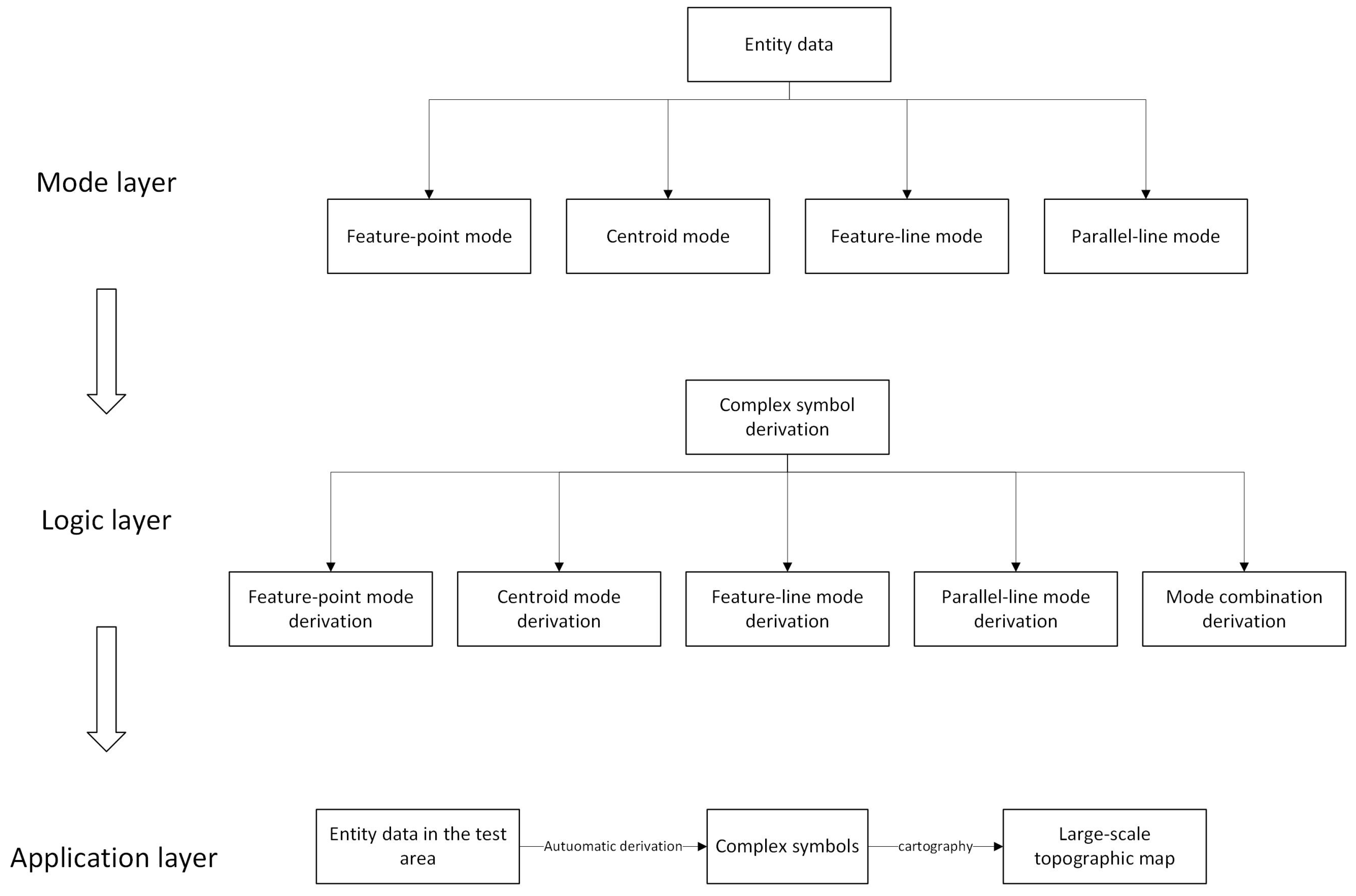
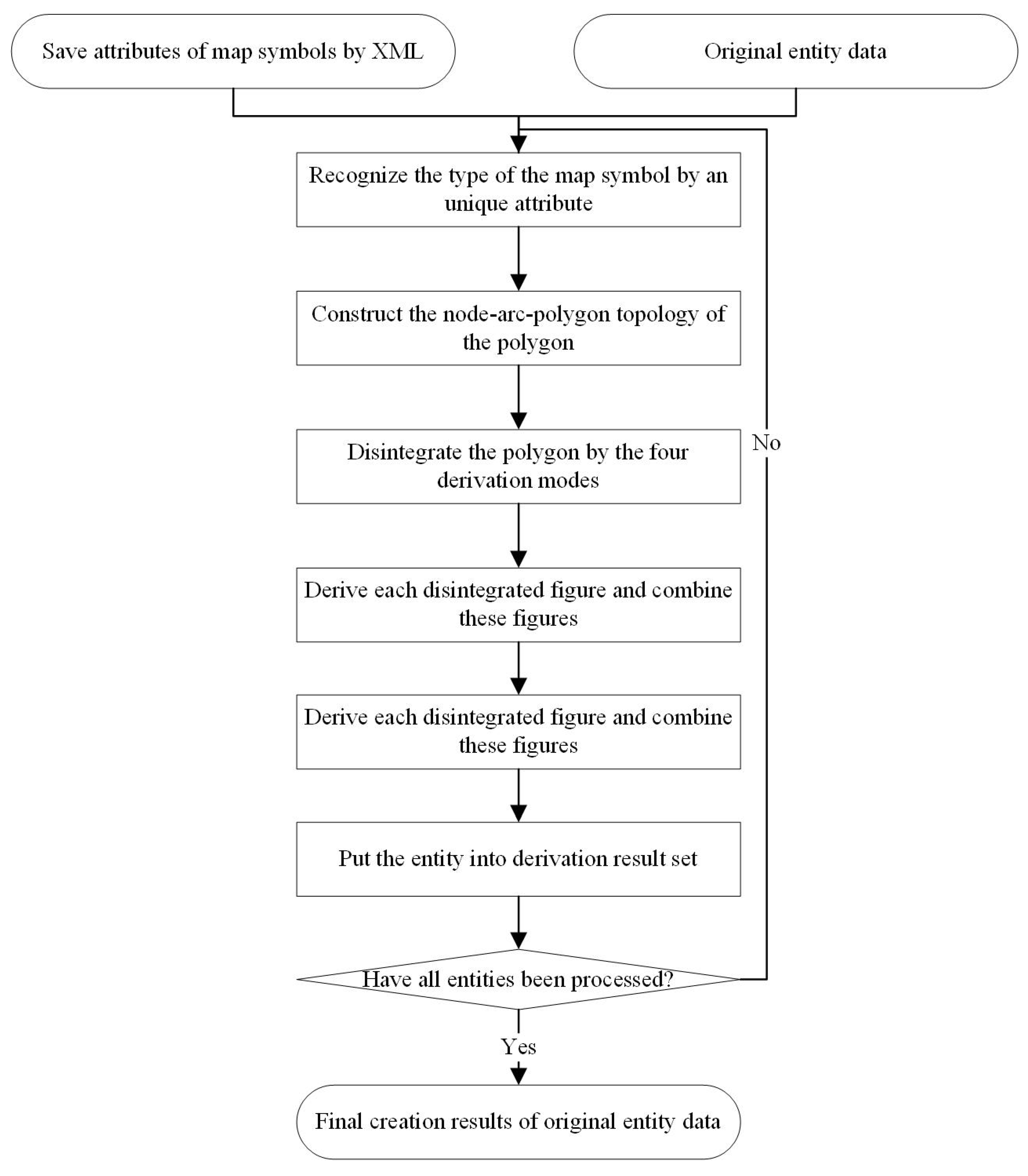
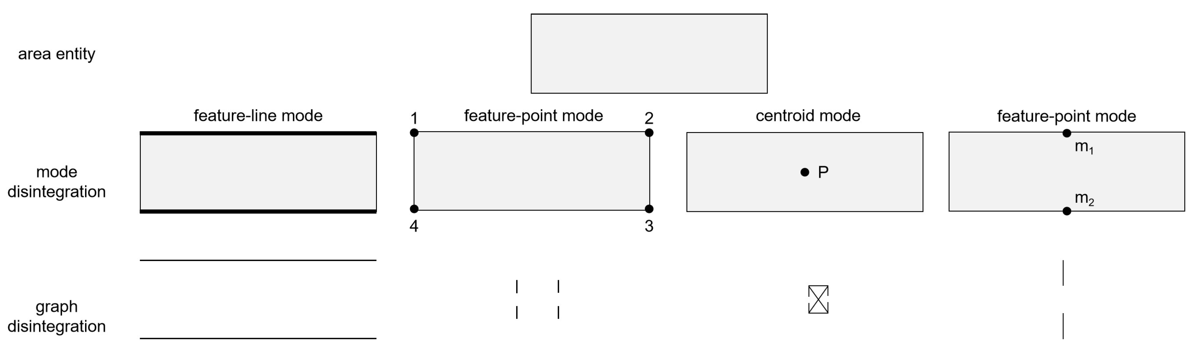
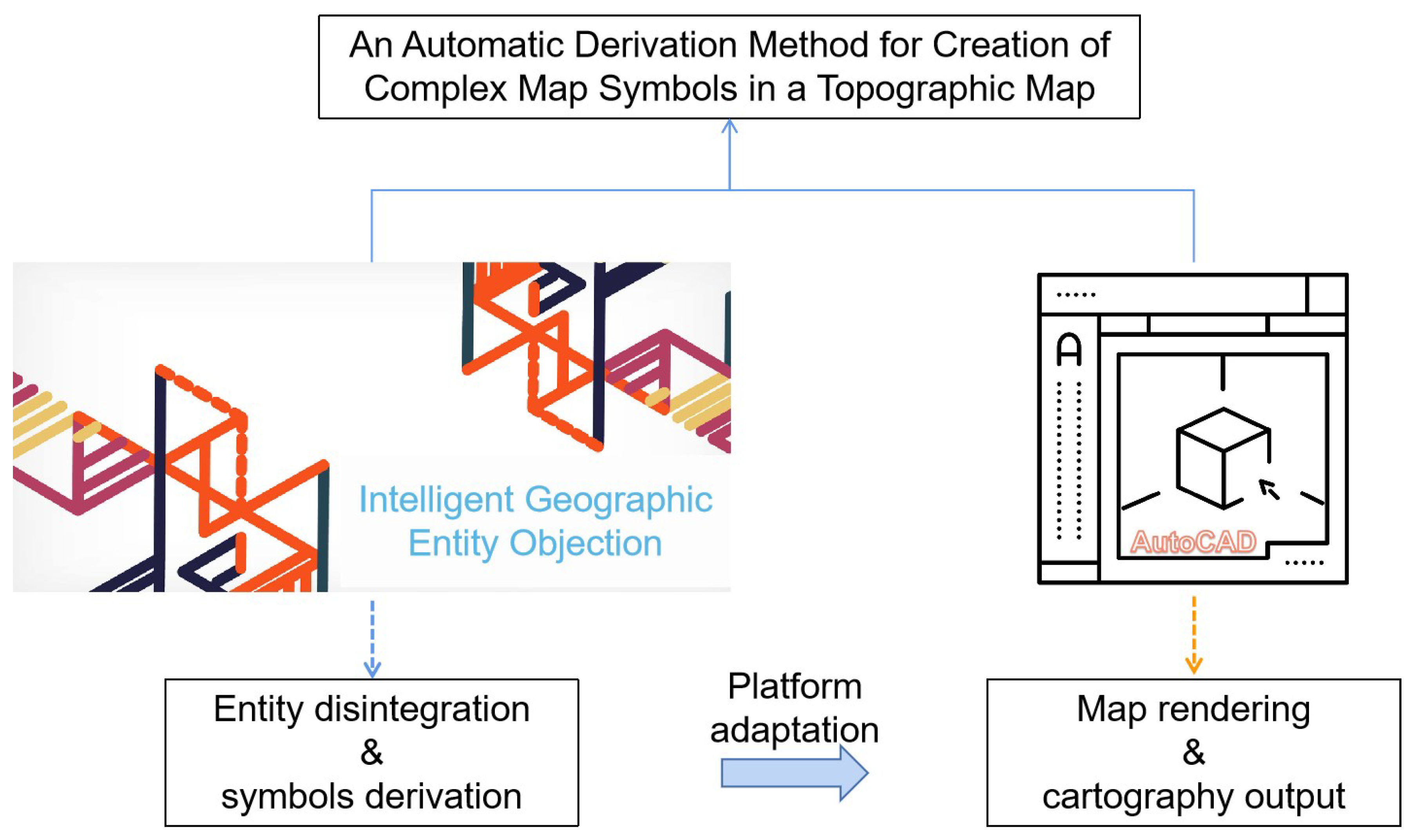
The topographic map plays a very important role in economic construction. In the process of drawing topographic maps, different symbols represent different ground objects, but the symbols representing complex ground objects are often complicated and difficult to create. Moreover, the creation process of complex map symbols can seriously affect the efficiency of topographic map production. Therefore, this paper proposes an automatic derivation method for creation of complex map symbols in a topographic map. The data used are new geographic entity data under the background of Chinese new fundamental surveying and mapping situation. Firstly, four derivation modes of complex map symbols are summarized, including feature-point mode, centroid mode, feature-line mode, and parallel-line mode; then, using the four modes singly or in combination, the complex map symbols of the topographic map are directly derived from the geographic entity data based on programming, and the topographic map cartographic result is obtained automatically. Finally, some topographic maps for Shanxi Province, China, is used for the validation of the creation of map symbols. The experimental results show that the proposed method can automatically derive the complex map symbols of the topographic map, greatly improving production efficiency and obtaining a good visualization effect. The proposed method is a new approach for a new situation and realizes the transformation and upgrading of fundamental surveying and mapping achievements.
Keywords: topographic map; complex map symbols; automatic derivation; new fundamental surveying and mapping; map cartography topographic map; complex map symbols; automatic derivation; new fundamental surveying and mapping; map cartography