
Article

Architectural Framework to Enhance Image-Based Vehicle Positioning for Advanced Functionalities
by
Iosif-Alin Beti
1,†,
Paul-Corneliu Herghelegiu
2,† and
Constantin-Florin Caruntu
1,*,†
1
Department of Automatic Control and Applied Informatics, Gheorghe Asachi Technical University of Iasi, 700050 Iasi, Romania
2
Department of Computer Science and Engineering, Gheorghe Asachi Technical University of Iasi, 700050 Iasi, Romania
*
Author to whom correspondence should be addressed.
These authors contributed equally to this work.
Information 2024, 15(6), 323; https://doi.org/10.3390/info15060323
Submission received: 24 April 2024 / Revised: 22 May 2024 / Accepted: 28 May 2024 / Published: 31 May 2024

Abstract

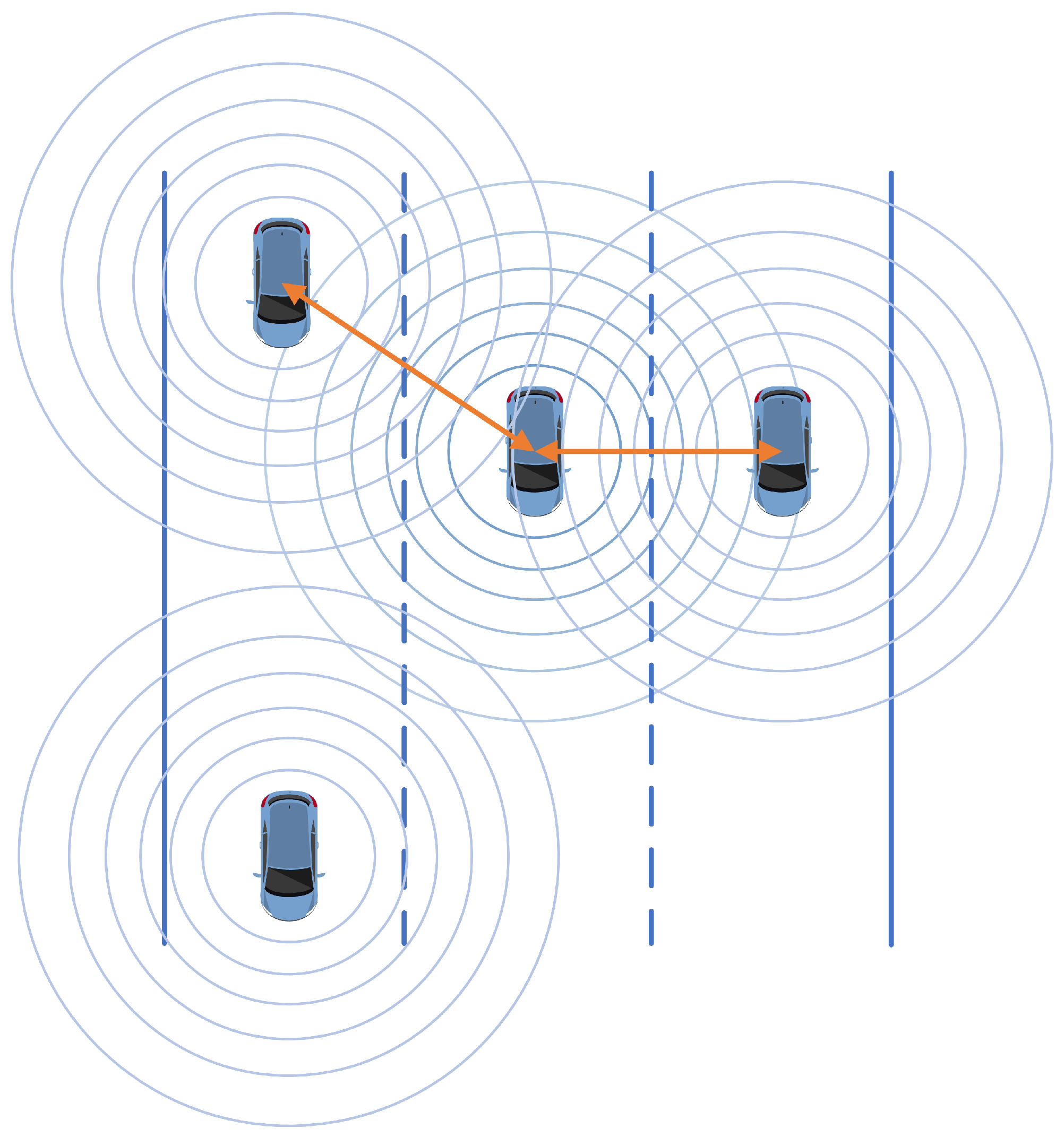
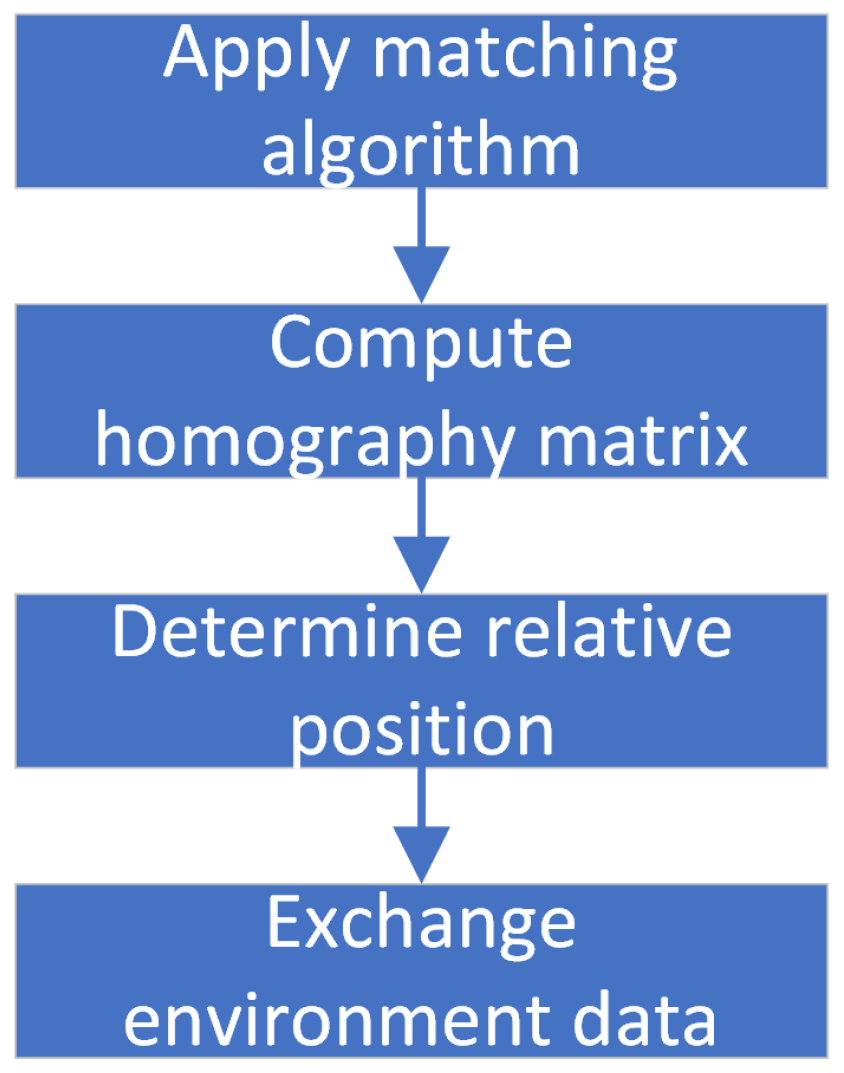
The growing number of vehicles on the roads has resulted in several challenges, including increased accident rates, fuel consumption, pollution, travel time, and driving stress. However, recent advancements in intelligent vehicle technologies, such as sensors and communication networks, have the potential to revolutionize road traffic and address these challenges. In particular, the concept of platooning for autonomous vehicles, where they travel in groups at high speeds with minimal distances between them, has been proposed to enhance the efficiency of road traffic. To achieve this, it is essential to determine the precise position of vehicles relative to each other. Global positioning system (GPS) devices have an intended positioning error that might increase due to various conditions, e.g., the number of available satellites, nearby buildings, trees, driving into tunnels, etc., making it difficult to compute the exact relative position between two vehicles. To address this challenge, this paper proposes a new architectural framework to improve positioning accuracy using images captured by onboard cameras. It presents a novel algorithm and performance results for vehicle positioning based on GPS and video data. This approach is decentralized, meaning that each vehicle has its own camera and computing unit and communicates with nearby vehicles.
Keywords: computer vision; traffic optimization; vehicle platooning; vehicle positioning; V2V communication computer vision; traffic optimization; vehicle platooning; vehicle positioning; V2V communication