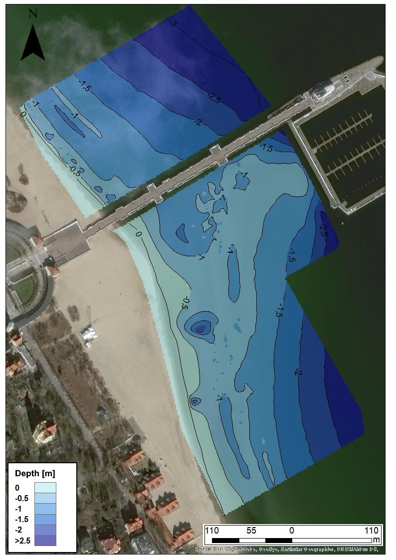
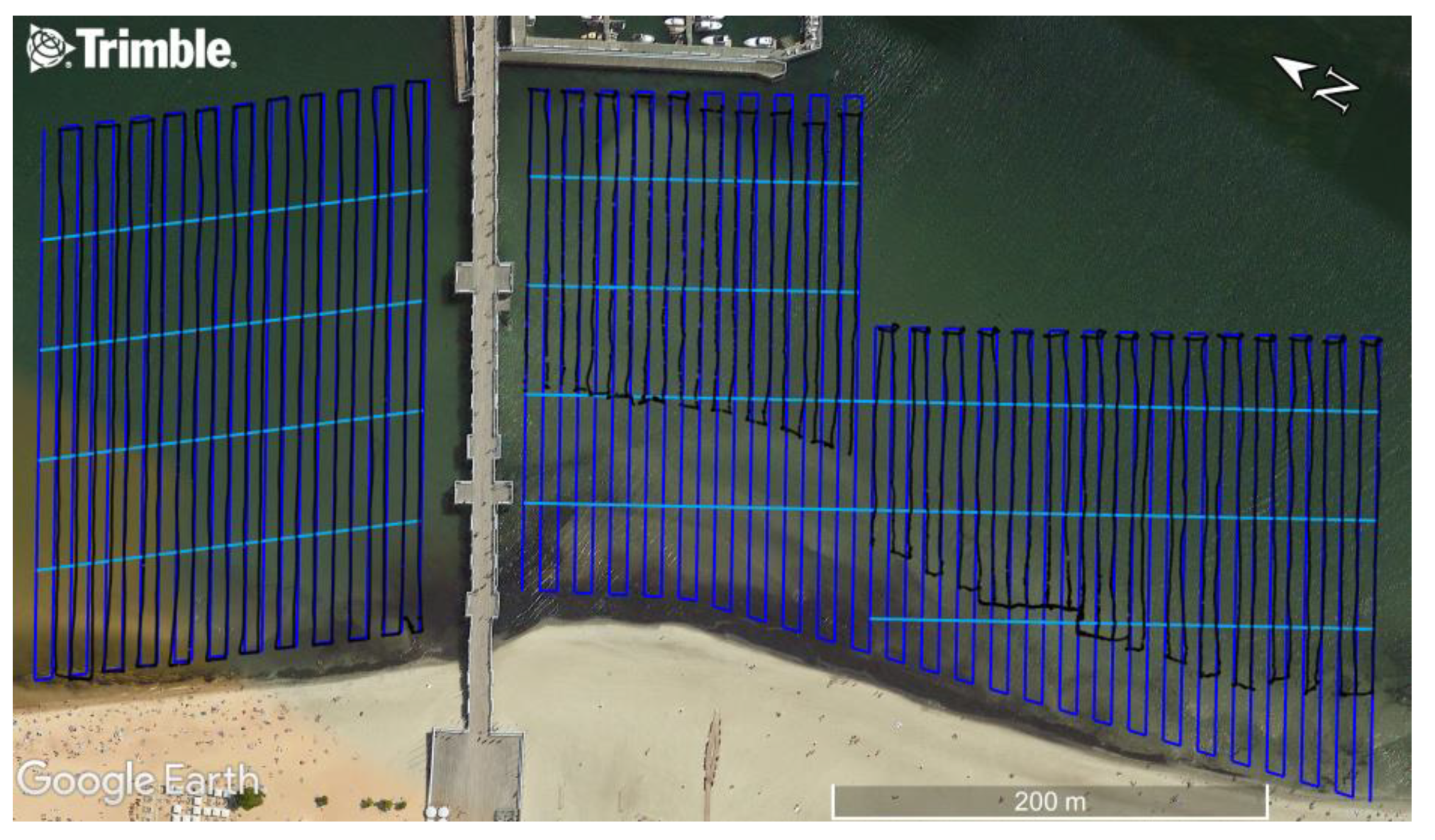
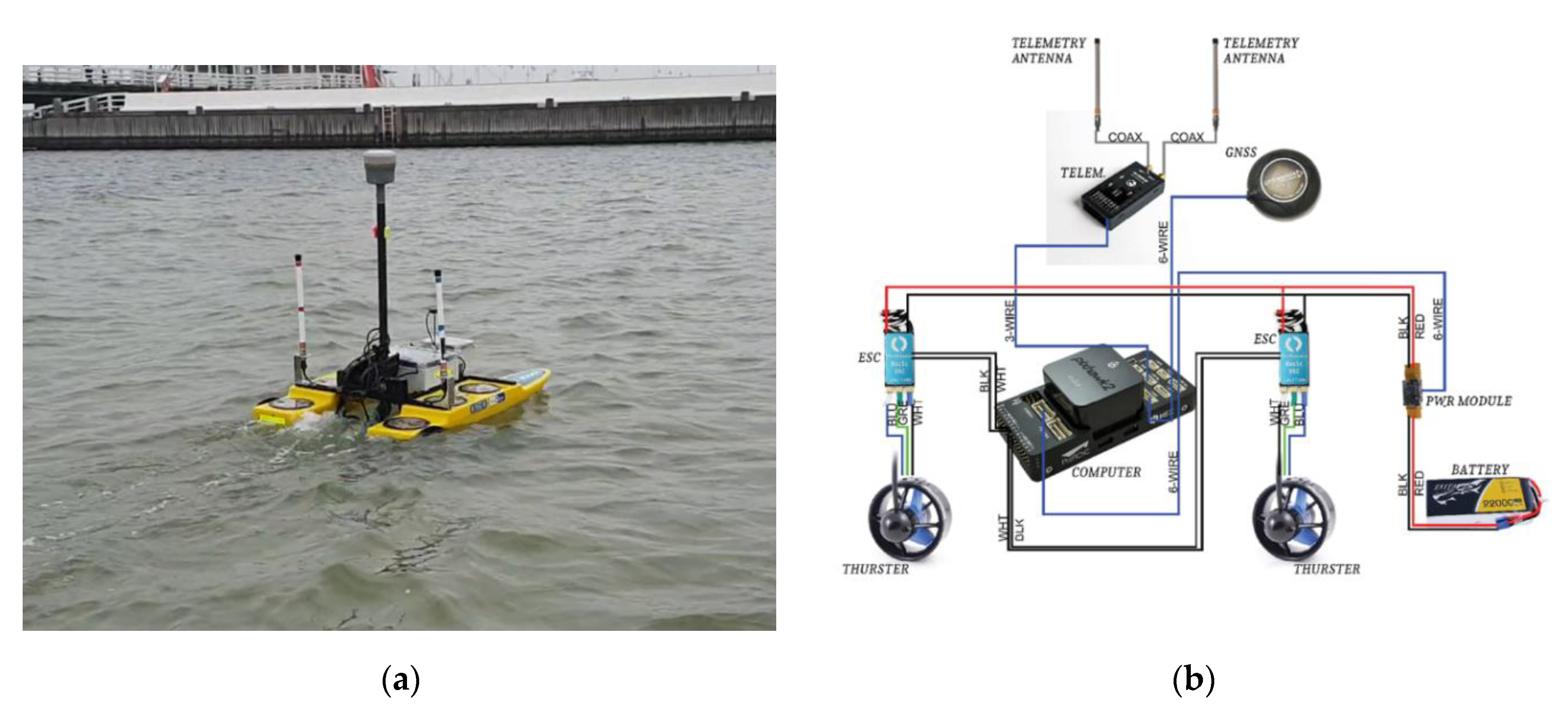
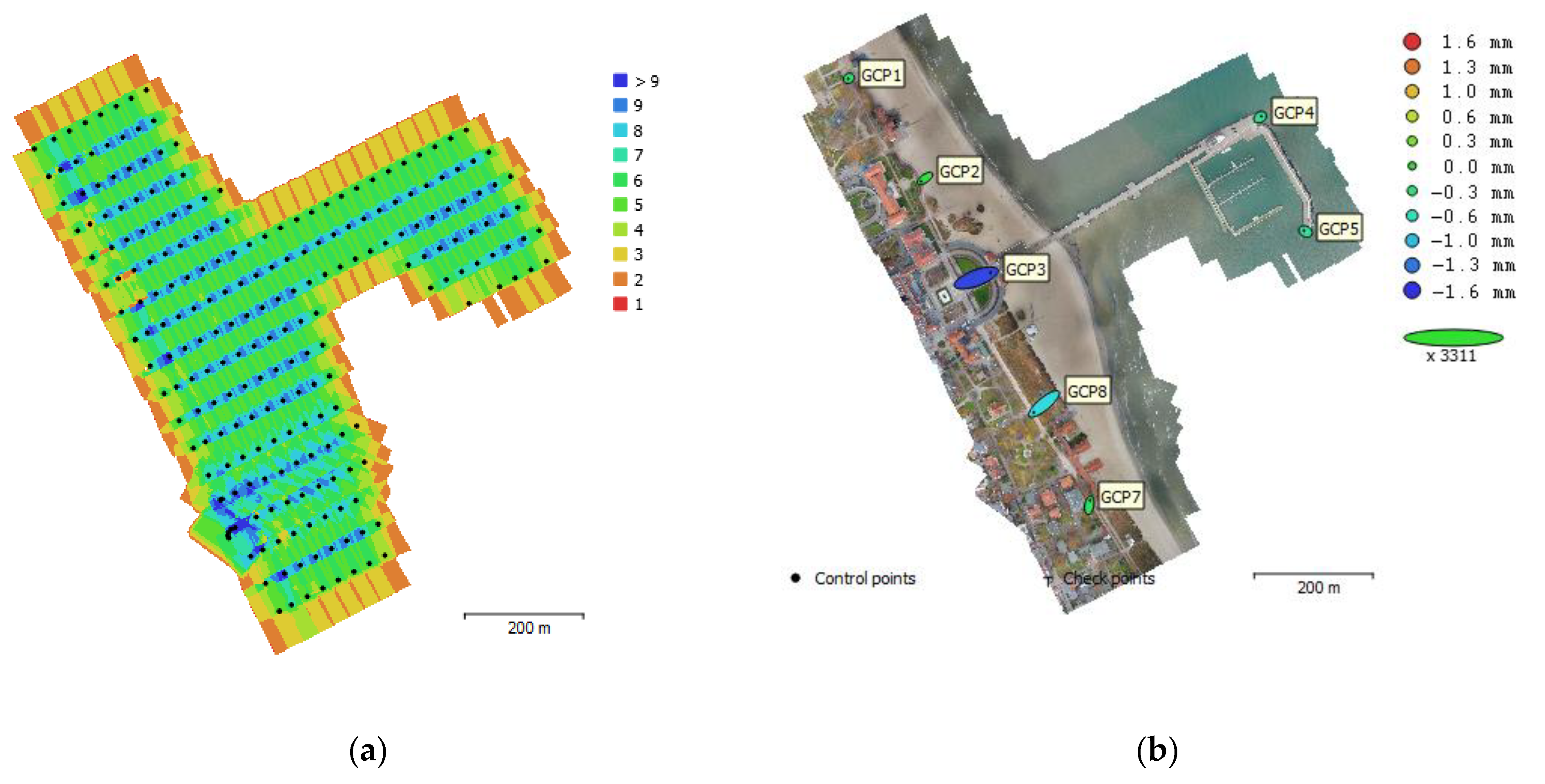
Methodology for Carrying out Measurements of the Tombolo Geomorphic Landform Using Unmanned Aerial and Surface Vehicles near Sopot Pier, Poland

 ,
, 
 , and
, and 
Abstract
Share and Cite
Specht, C.; Lewicka, O.; Specht, M.; Dąbrowski, P.; Burdziakowski, P. Methodology for Carrying out Measurements of the Tombolo Geomorphic Landform Using Unmanned Aerial and Surface Vehicles near Sopot Pier, Poland. J. Mar. Sci. Eng. 2020, 8, 384. https://doi.org/10.3390/jmse8060384
Specht C, Lewicka O, Specht M, Dąbrowski P, Burdziakowski P. Methodology for Carrying out Measurements of the Tombolo Geomorphic Landform Using Unmanned Aerial and Surface Vehicles near Sopot Pier, Poland. Journal of Marine Science and Engineering. 2020; 8(6):384. https://doi.org/10.3390/jmse8060384
Chicago/Turabian StyleSpecht, Cezary, Oktawia Lewicka, Mariusz Specht, Paweł Dąbrowski, and Paweł Burdziakowski. 2020. "Methodology for Carrying out Measurements of the Tombolo Geomorphic Landform Using Unmanned Aerial and Surface Vehicles near Sopot Pier, Poland" Journal of Marine Science and Engineering 8, no. 6: 384. https://doi.org/10.3390/jmse8060384
APA StyleSpecht, C., Lewicka, O., Specht, M., Dąbrowski, P., & Burdziakowski, P. (2020). Methodology for Carrying out Measurements of the Tombolo Geomorphic Landform Using Unmanned Aerial and Surface Vehicles near Sopot Pier, Poland. Journal of Marine Science and Engineering, 8(6), 384. https://doi.org/10.3390/jmse8060384