Article

Production and Analysis of a Landslide Susceptibility Map Covering Entire China

1
State Key Laboratory of Information Engineering in Surveying, Mapping and Remote Sensing, Wuhan University, Wuhan 430000, China
2
School of Artificial Intelligence, Hubei Open University, Wuhan 430074, China
3
School of Geographic Science and Tourism, Nanyang Normal University, Nanyang 473000, China
4
Institute of Geospatial Information, PLA Information Engineering University, Zhengzhou 450001, China
5
Hubei Geological Bureau, Wuhan 430034, China
*
Author to whom correspondence should be addressed.
Remote Sens. 2025, 17(9), 1615; https://doi.org/10.3390/rs17091615
Submission received: 18 February 2025 / Revised: 19 April 2025 / Accepted: 29 April 2025 / Published: 1 May 2025
(This article belongs to the Special Issue Advances in Surface Deformation Monitoring Using SAR Interferometry)

Abstract

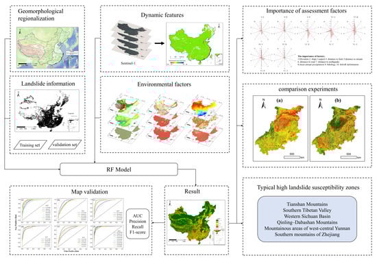

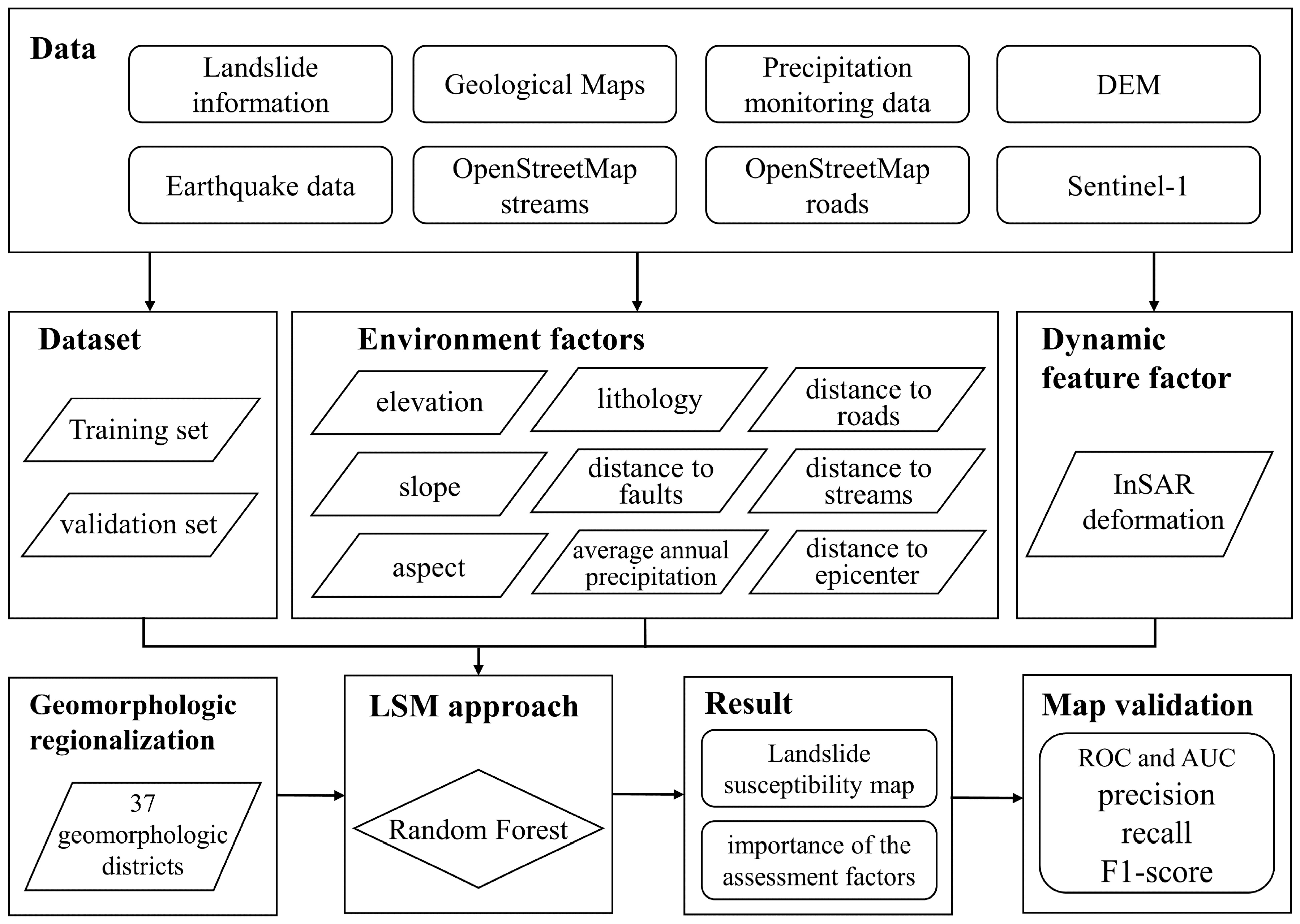
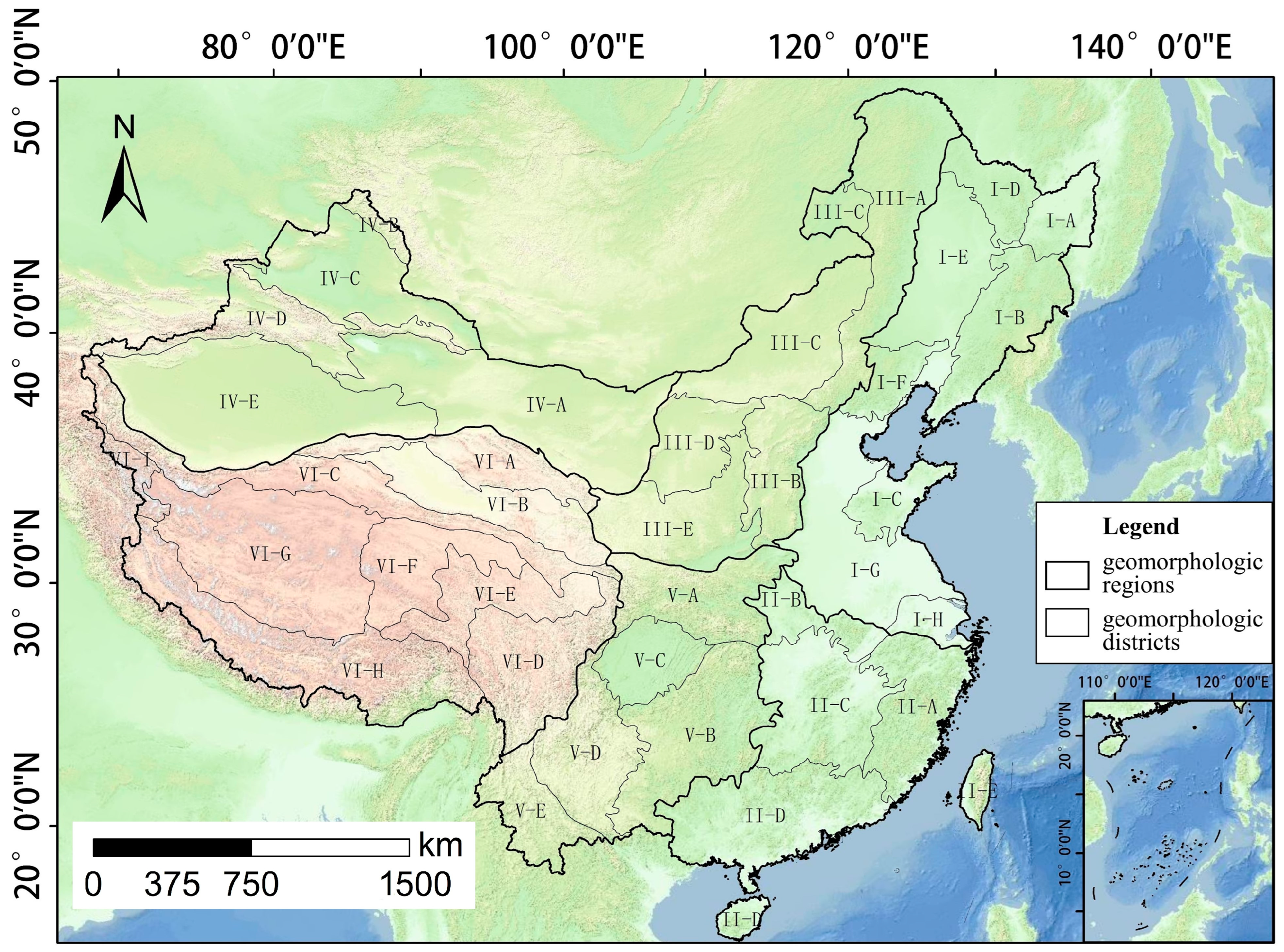
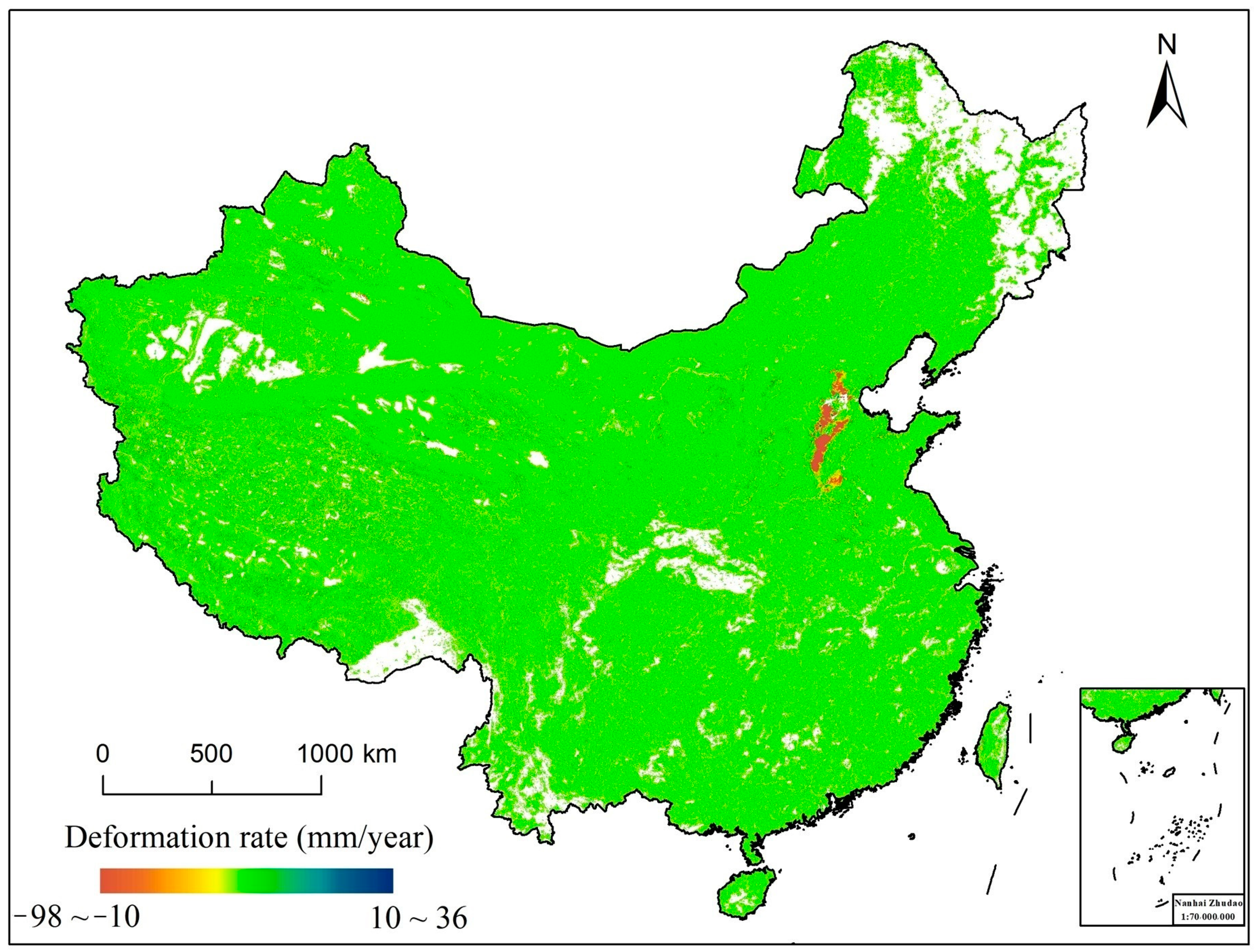
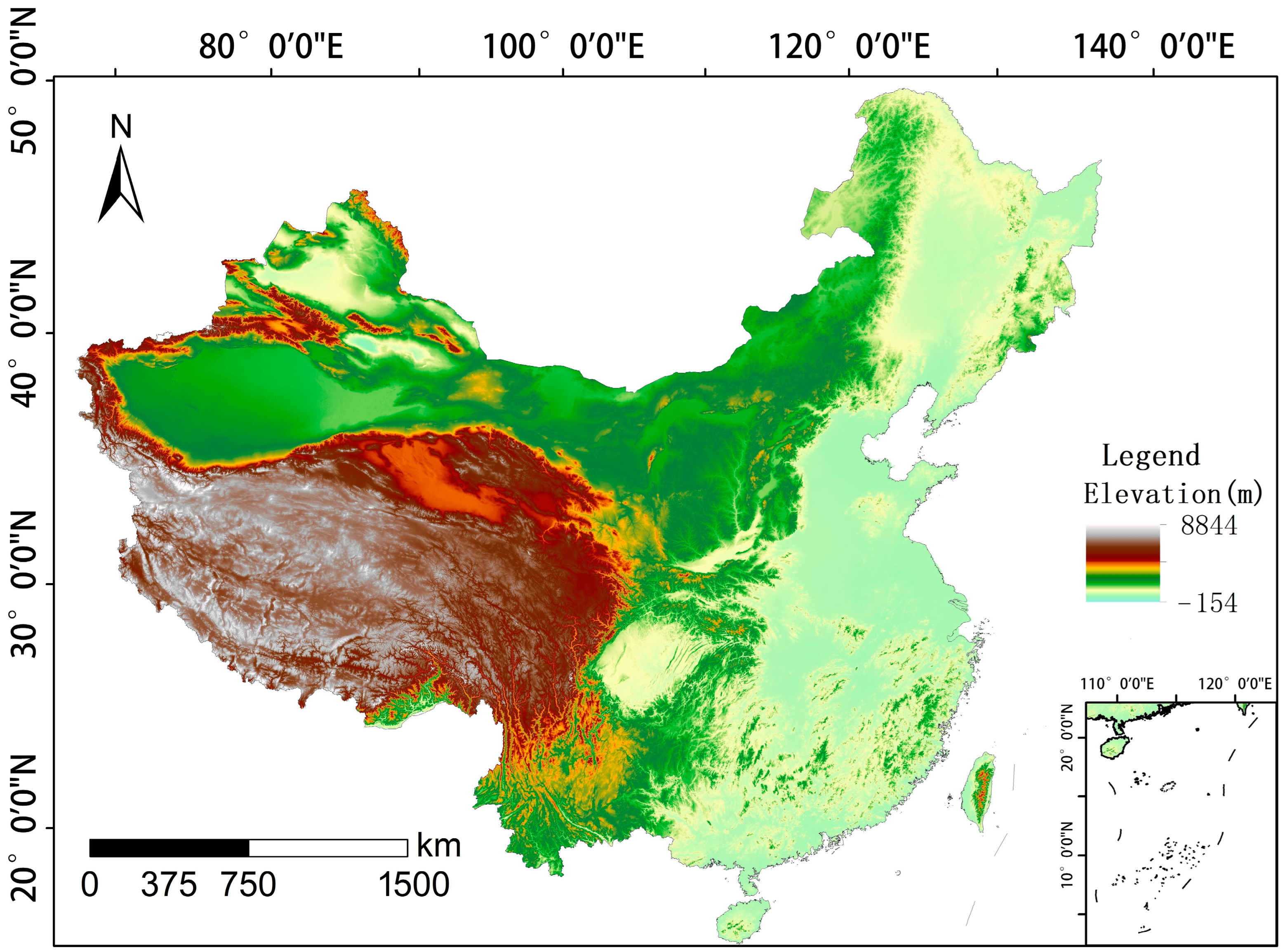
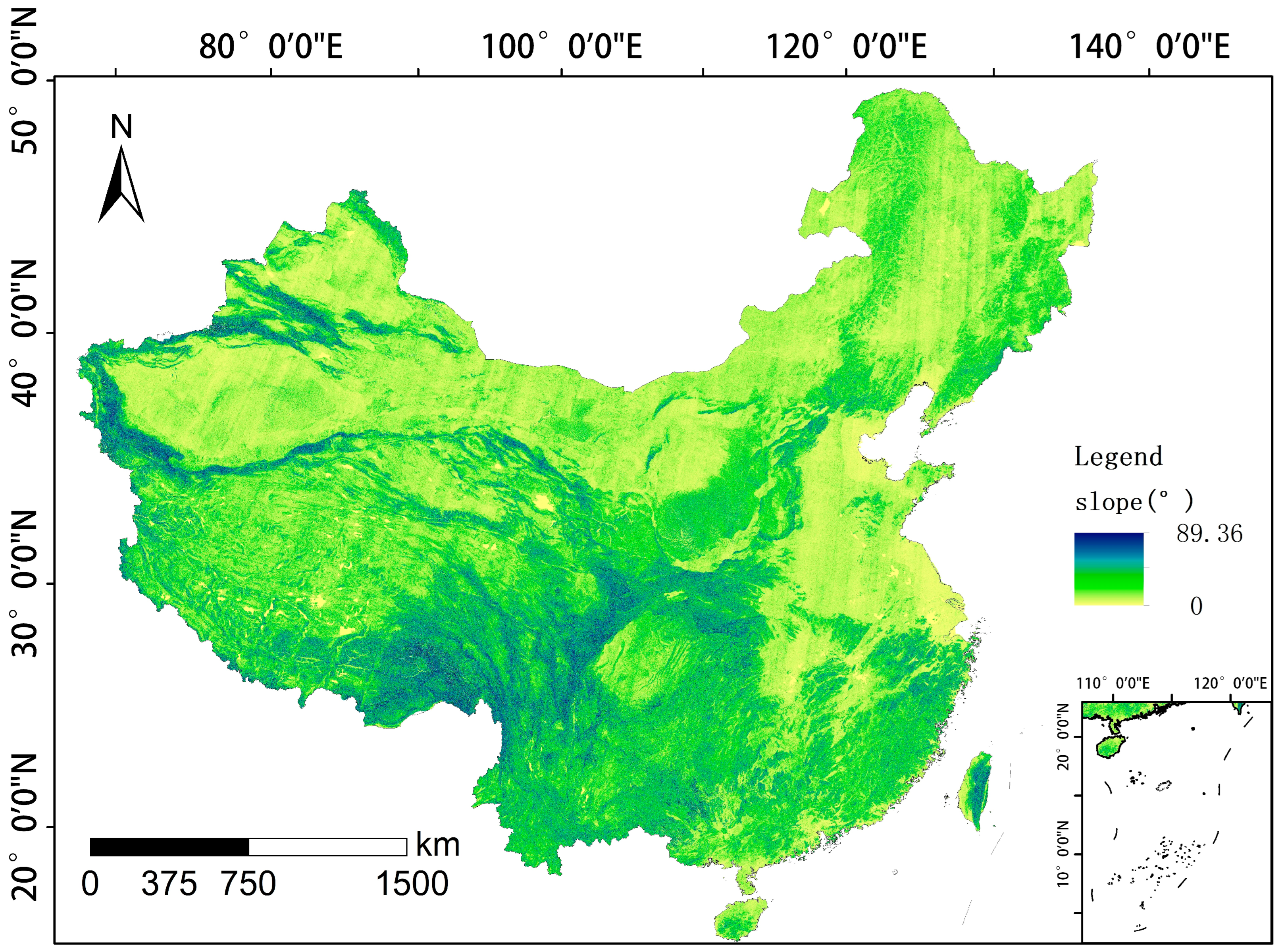
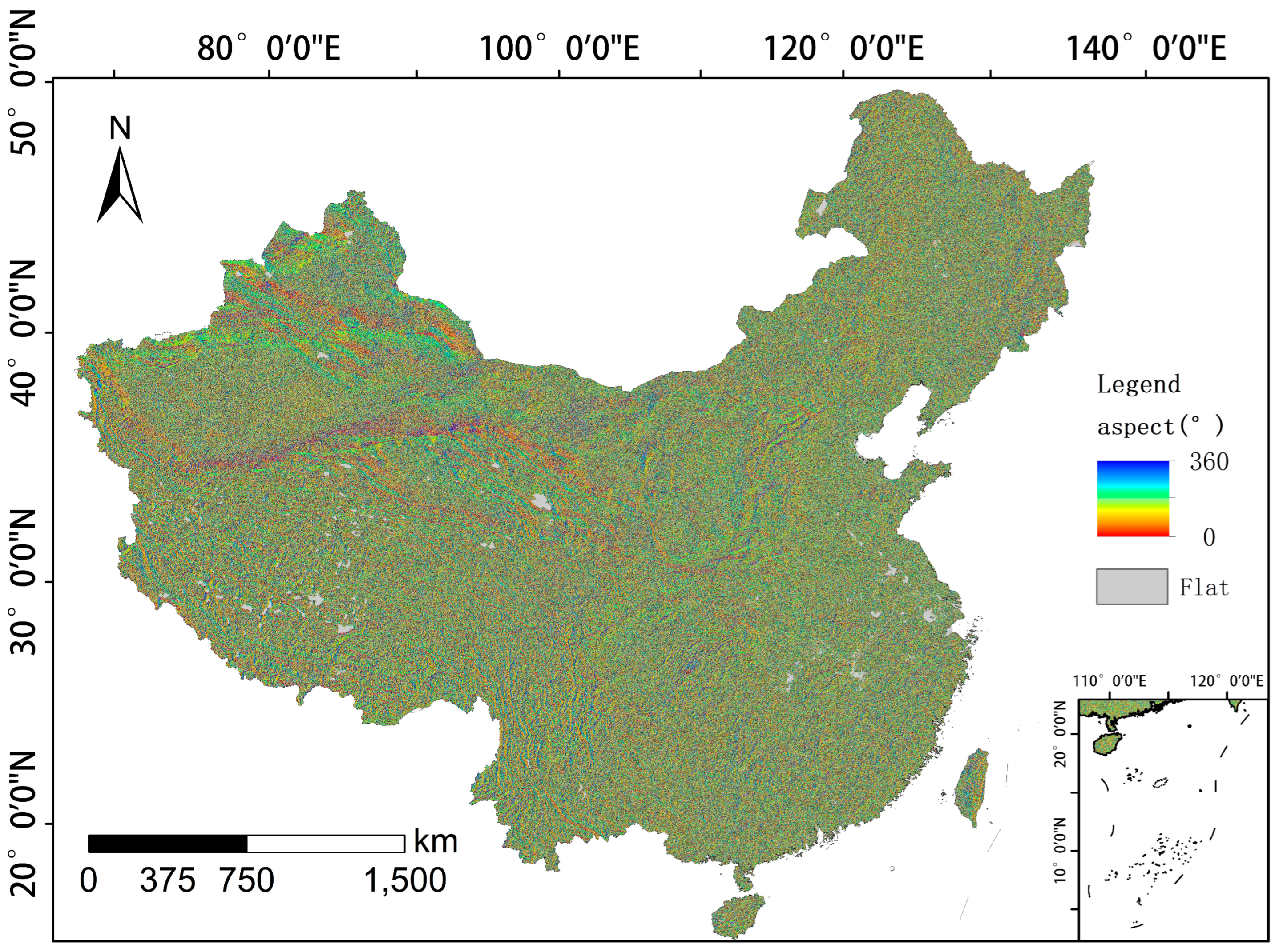
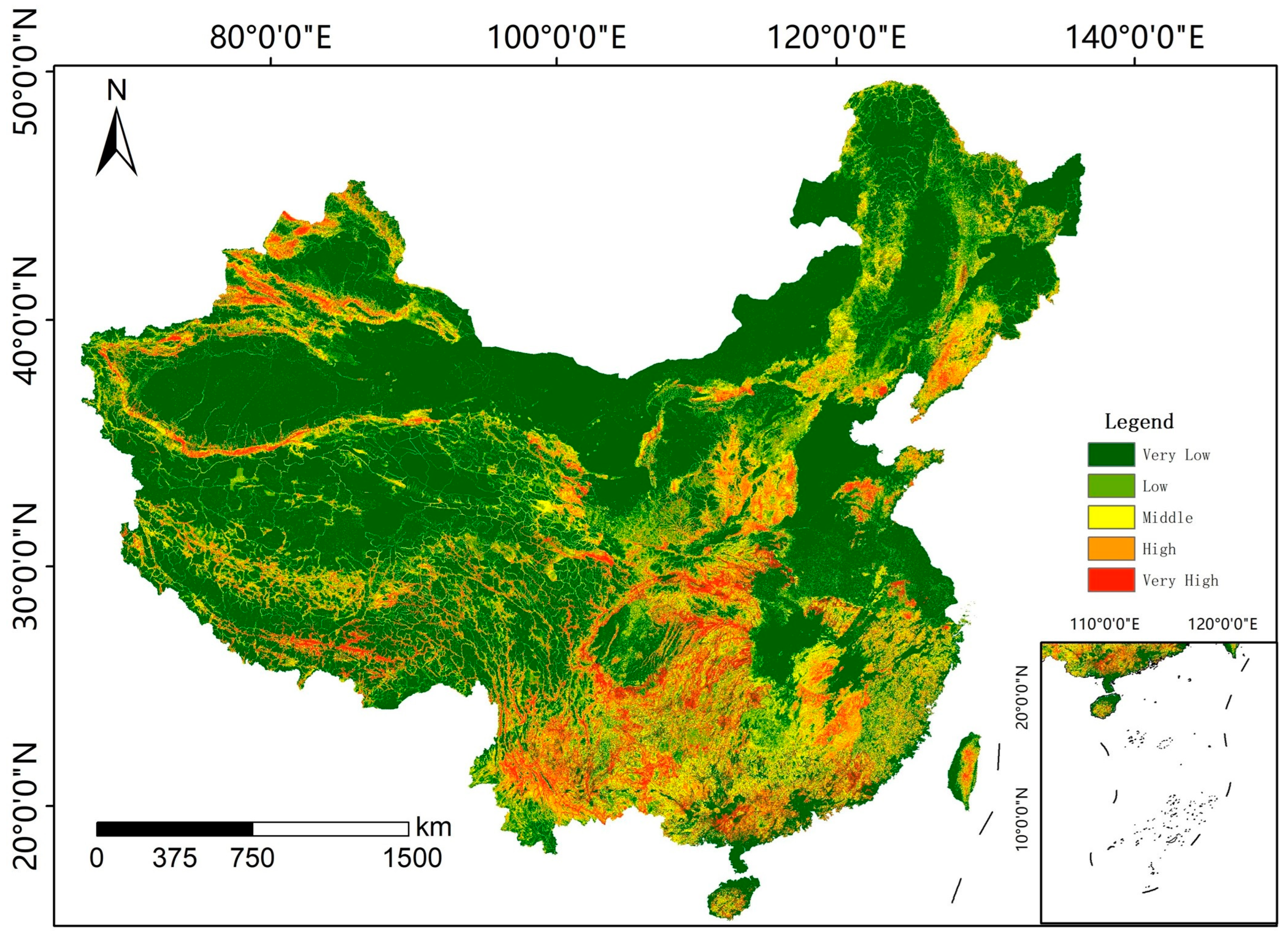
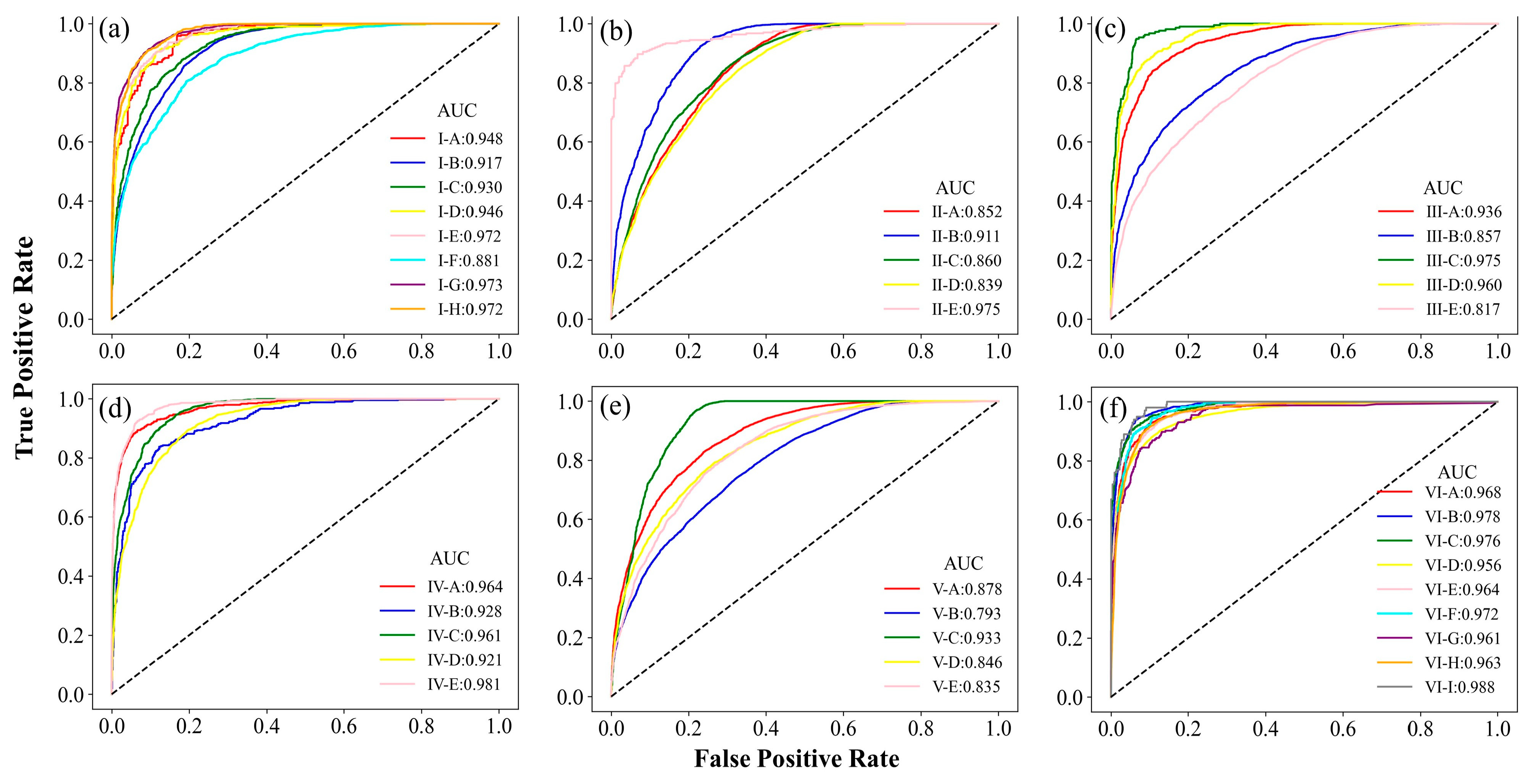
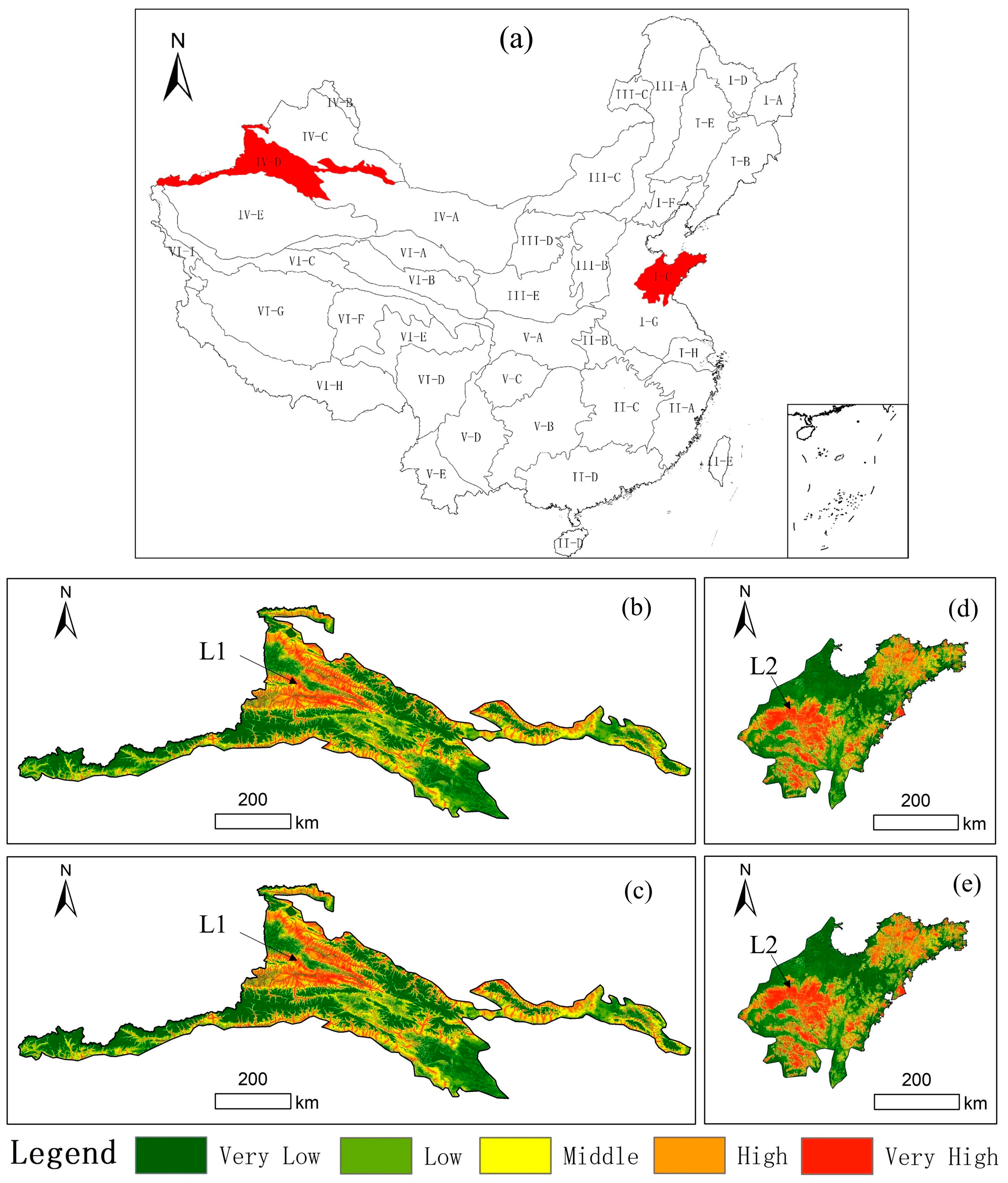
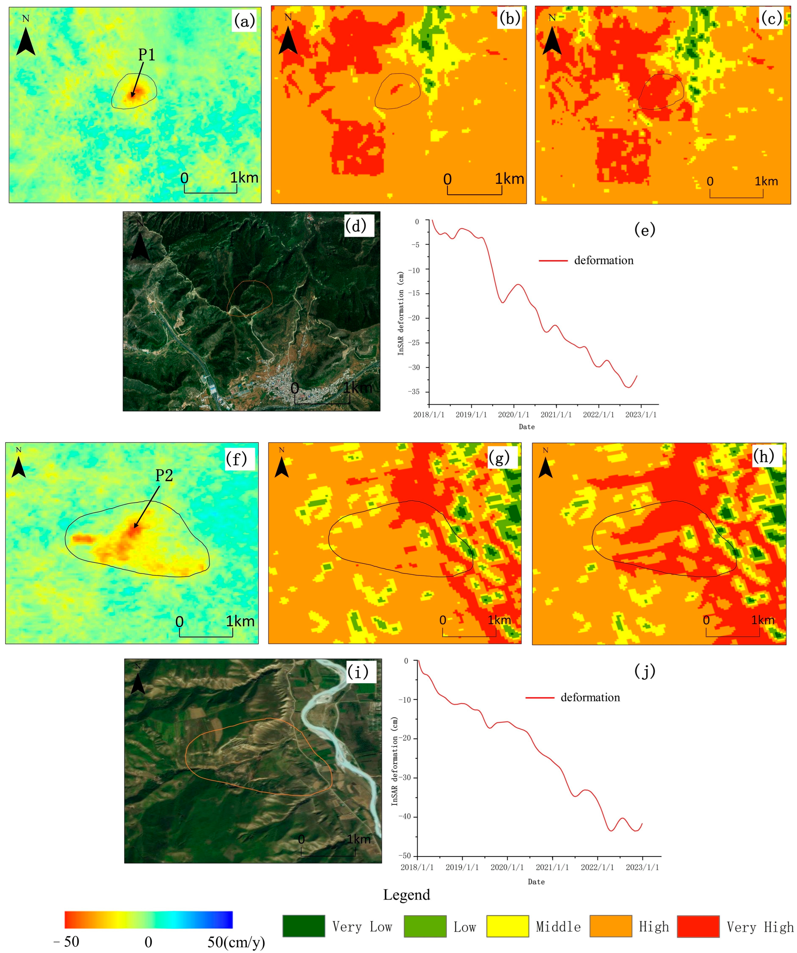
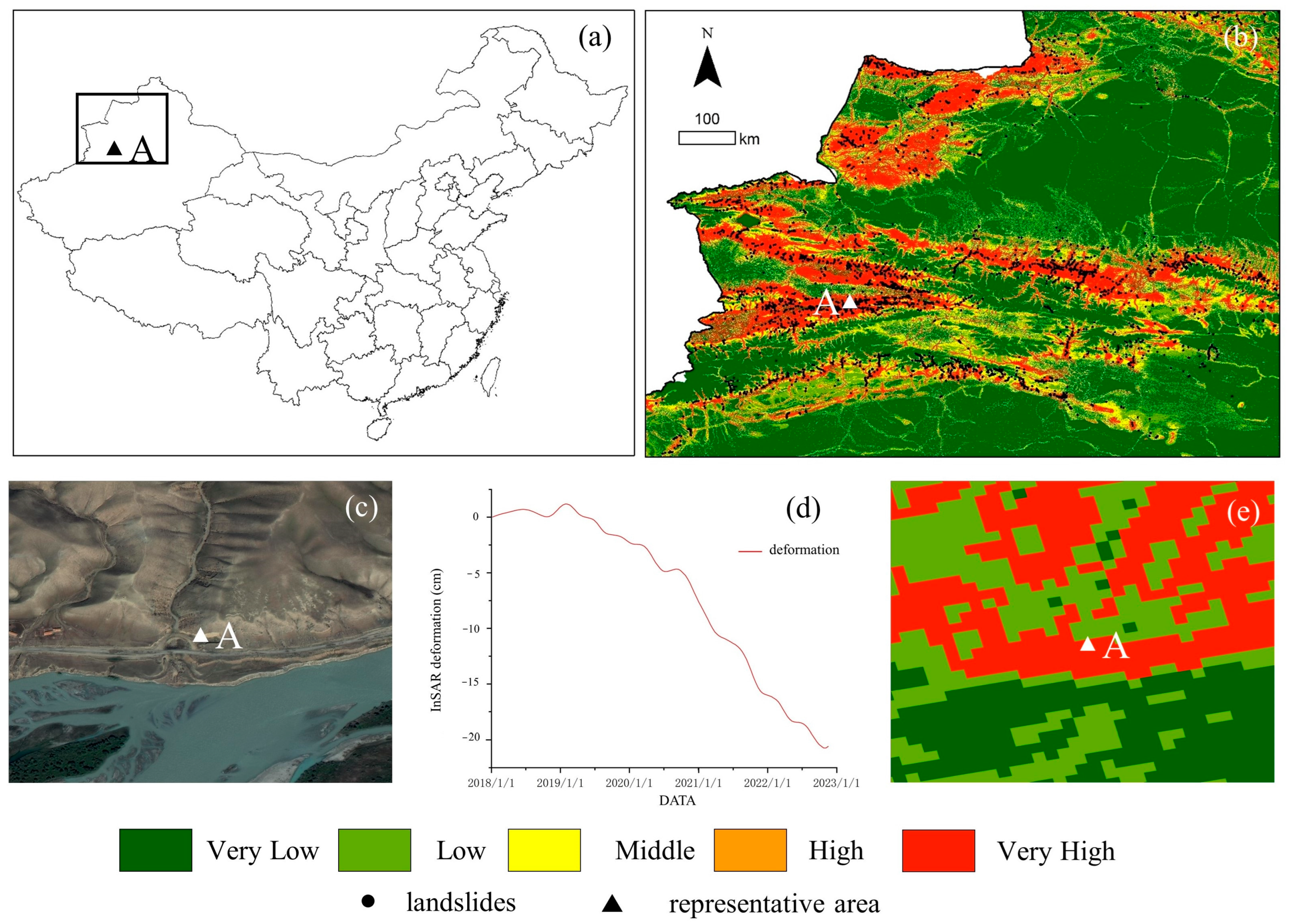
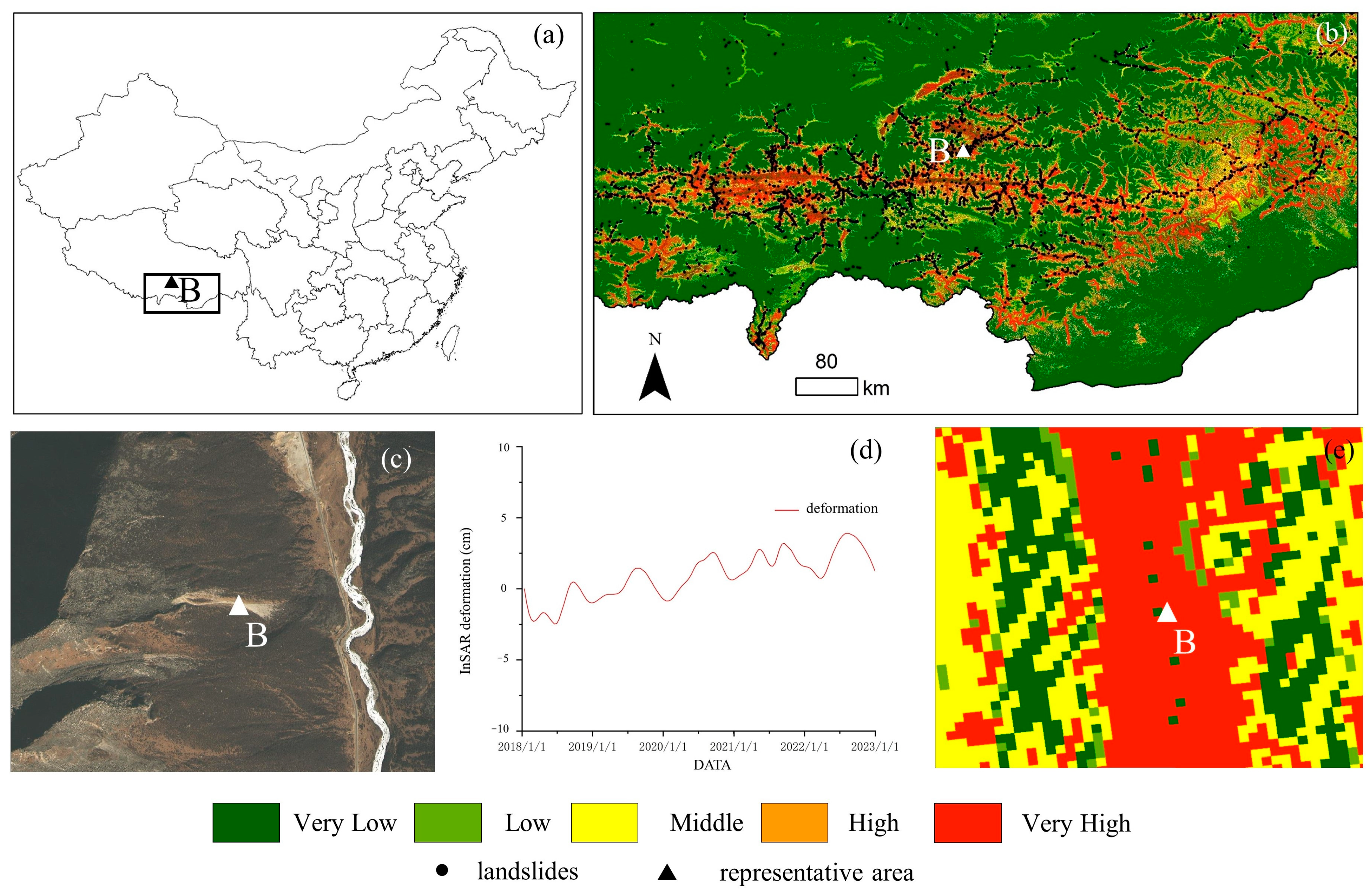
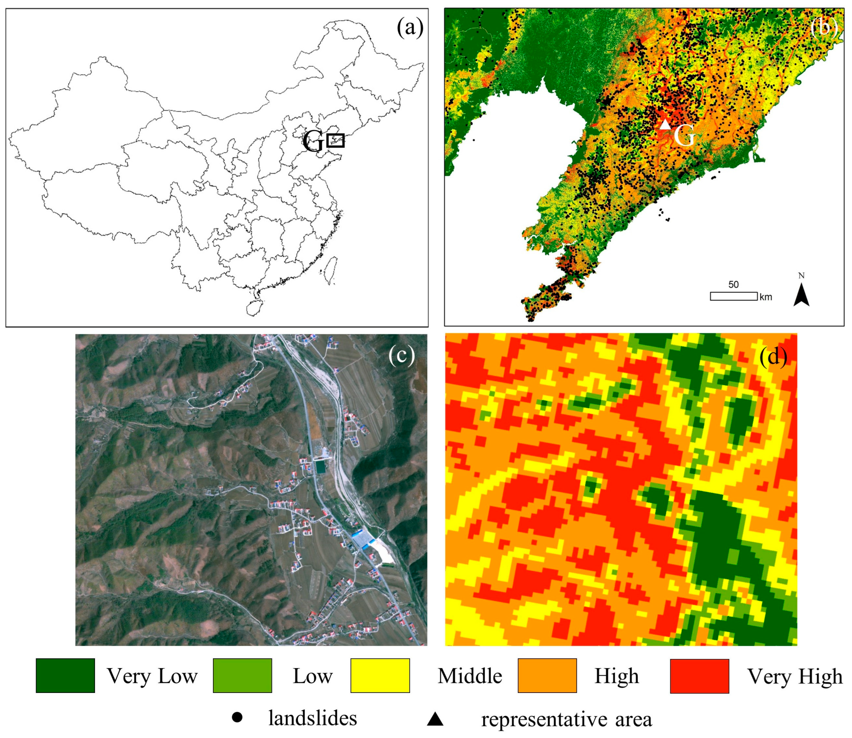
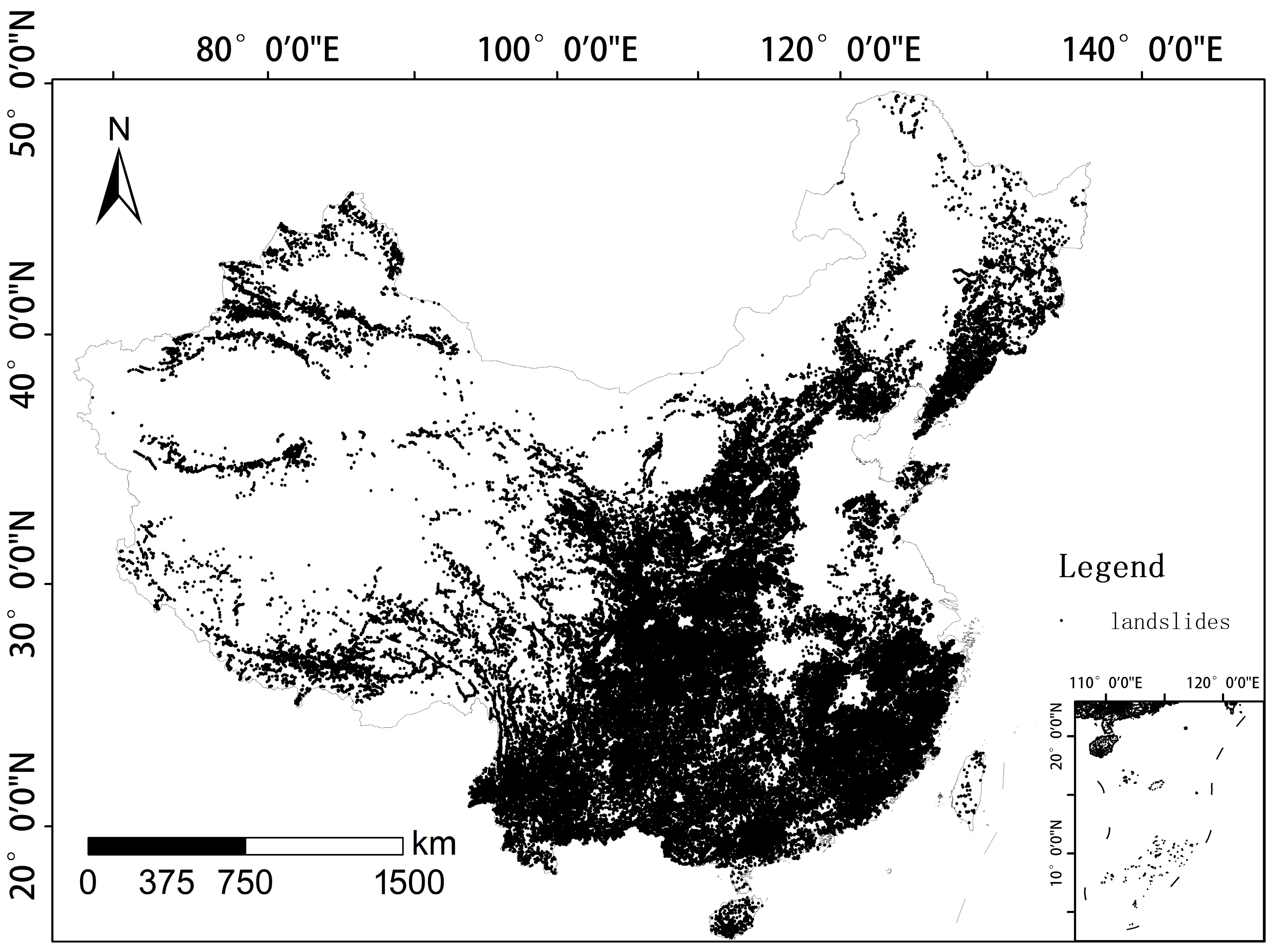
China, with its complex geology and diverse climate, is highly prone to landslides, endangering public safety and infrastructure. To address disaster prevention needs, this study comprehensively assesses national landslide susceptibility. We divided China into 37 geomorphic districts, diverging from traditional methods. By using a 2018–2022 surface deformation dataset, we introduced a rarely—considered dynamic aspect for more accurate mapping of landslide—prone areas. Nine key environmental factors were carefully considered, including terrain, geology, meteorology, hydrology, seismic activities, and engineering activities. Based on these innovative methods and data, we created a 40 m—resolution landslide susceptibility map (LSM) for the whole country. Our assessment showed high accuracy, with an AUC of 0.927, precision of 0.859, recall of 0.815, F1—score of 0.828 and Matthews correlation coefficient of 0.773. Seven high—risk regions, like the Tianshan Mountains and the southern Tibetan valleys, were analyzed. The study revealed regional differences in landslide occurrences and key influencing factors. The LSM and findings enrich landslide susceptibility theory and offer a valuable resource for engineering, disaster management, and mitigation in China, helping reduce potential landslide losses.
Keywords: landslide susceptibility; geomorphological regionalization; random forest; dynamic feature landslide susceptibility; geomorphological regionalization; random forest; dynamic feature
Graphical Abstract