TerrAInav Sim: An Open-Source Simulation of UAV Aerial Imaging from Map-Based Data


Electrical and Computer Engineering Department, University of Memphis, Memphis, TN 38152, USA
*
Author to whom correspondence should be addressed.
Remote Sens. 2025, 17(8), 1454; https://doi.org/10.3390/rs17081454
Submission received: 6 February 2025
/
Revised: 27 March 2025
/
Accepted: 7 April 2025
/
Published: 18 April 2025
Simple Summary
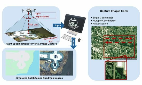
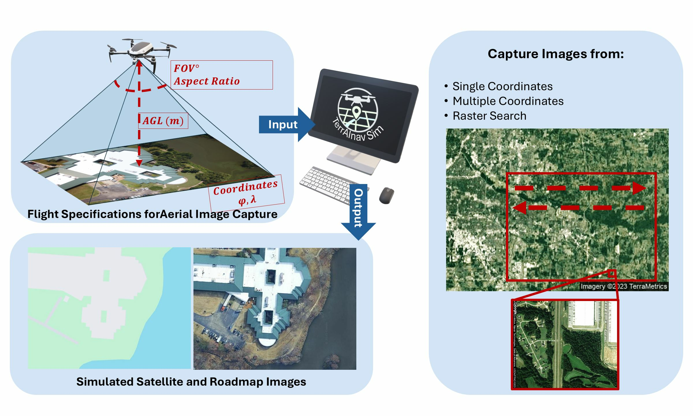
TerrAInav Sim is an open-source simulation of visible-band aerial imaging for UAVs. It is primarily designed for vision-based navigation tasks, but its capabilities extend to other applications. Specifications such as the coordinates, altitude, camera field of view, and aspect ratio can be customized.
Abstract
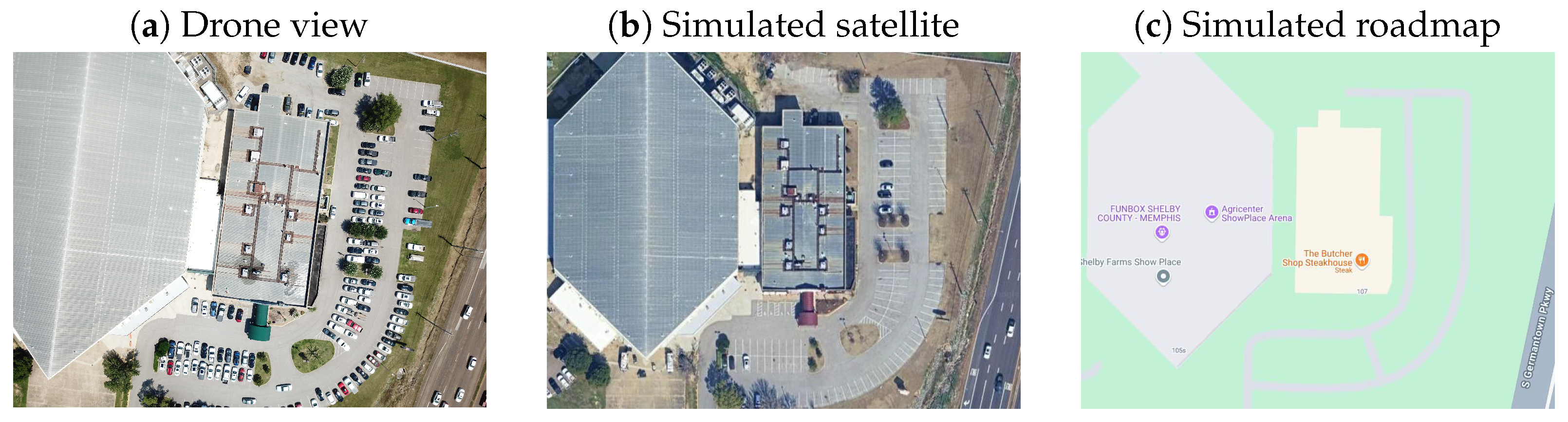
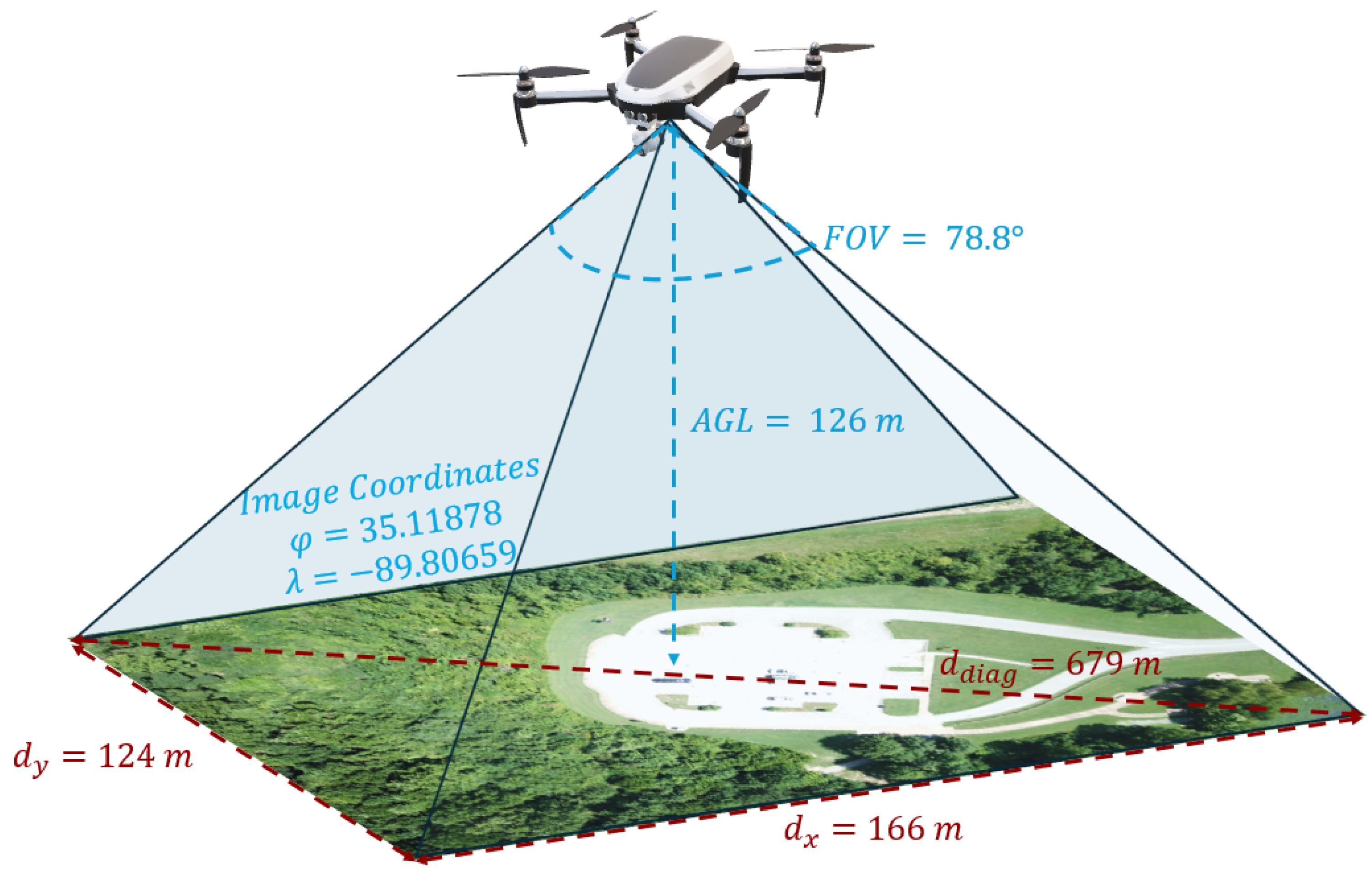
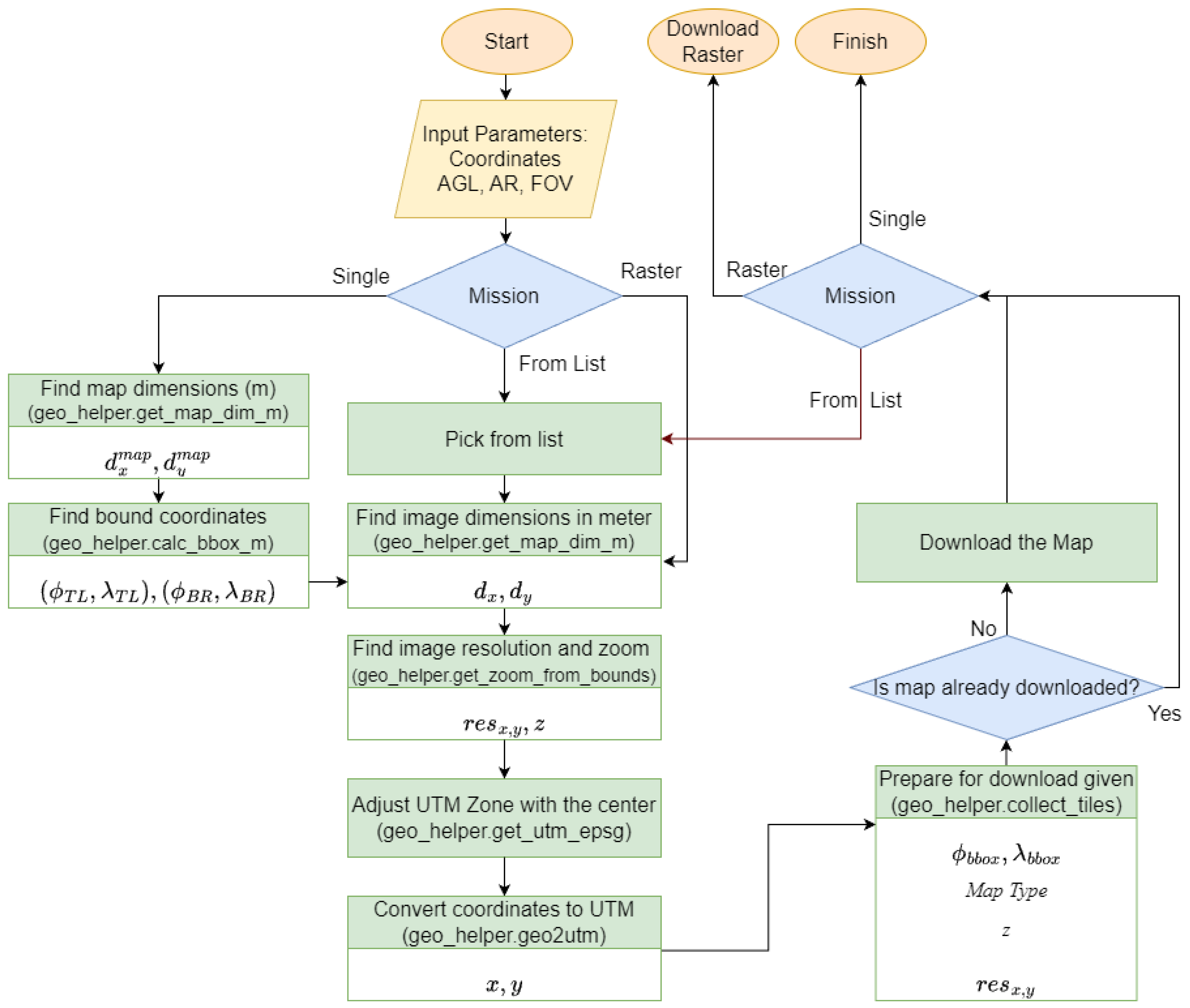
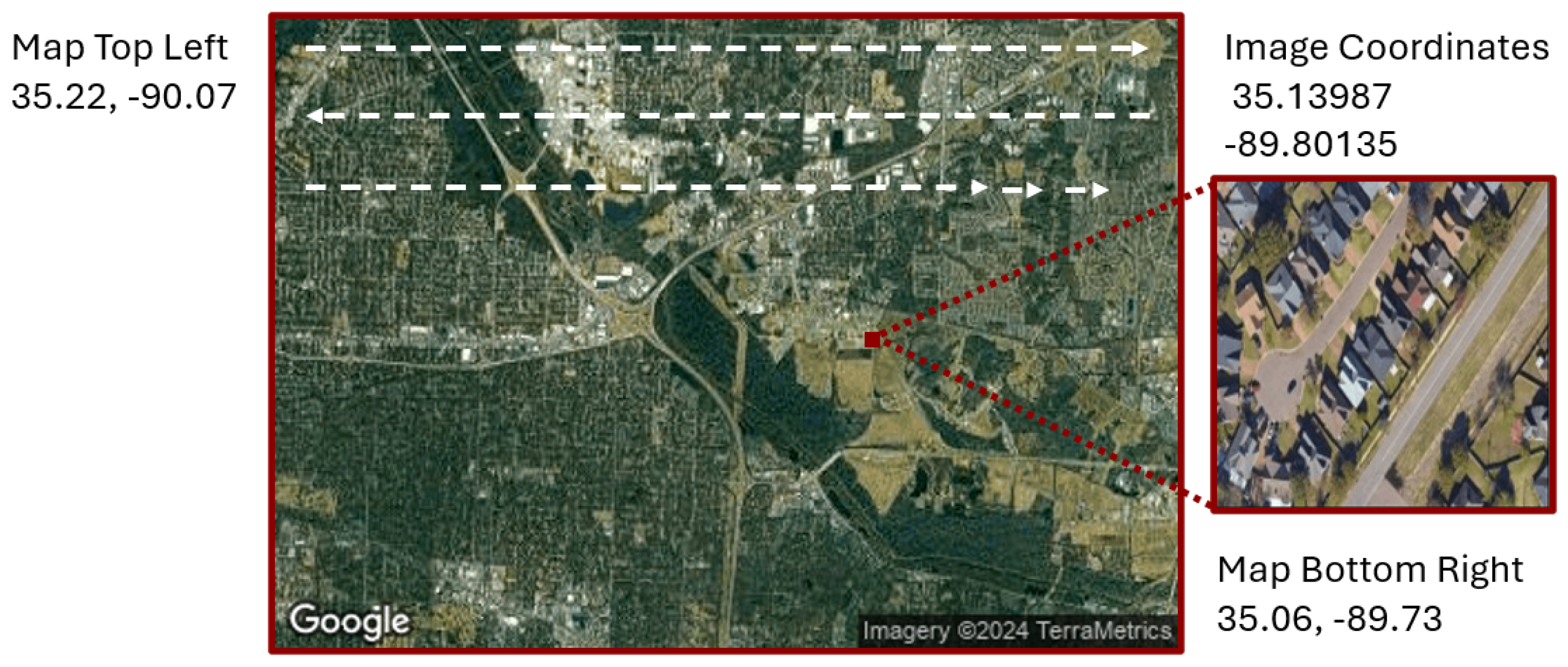
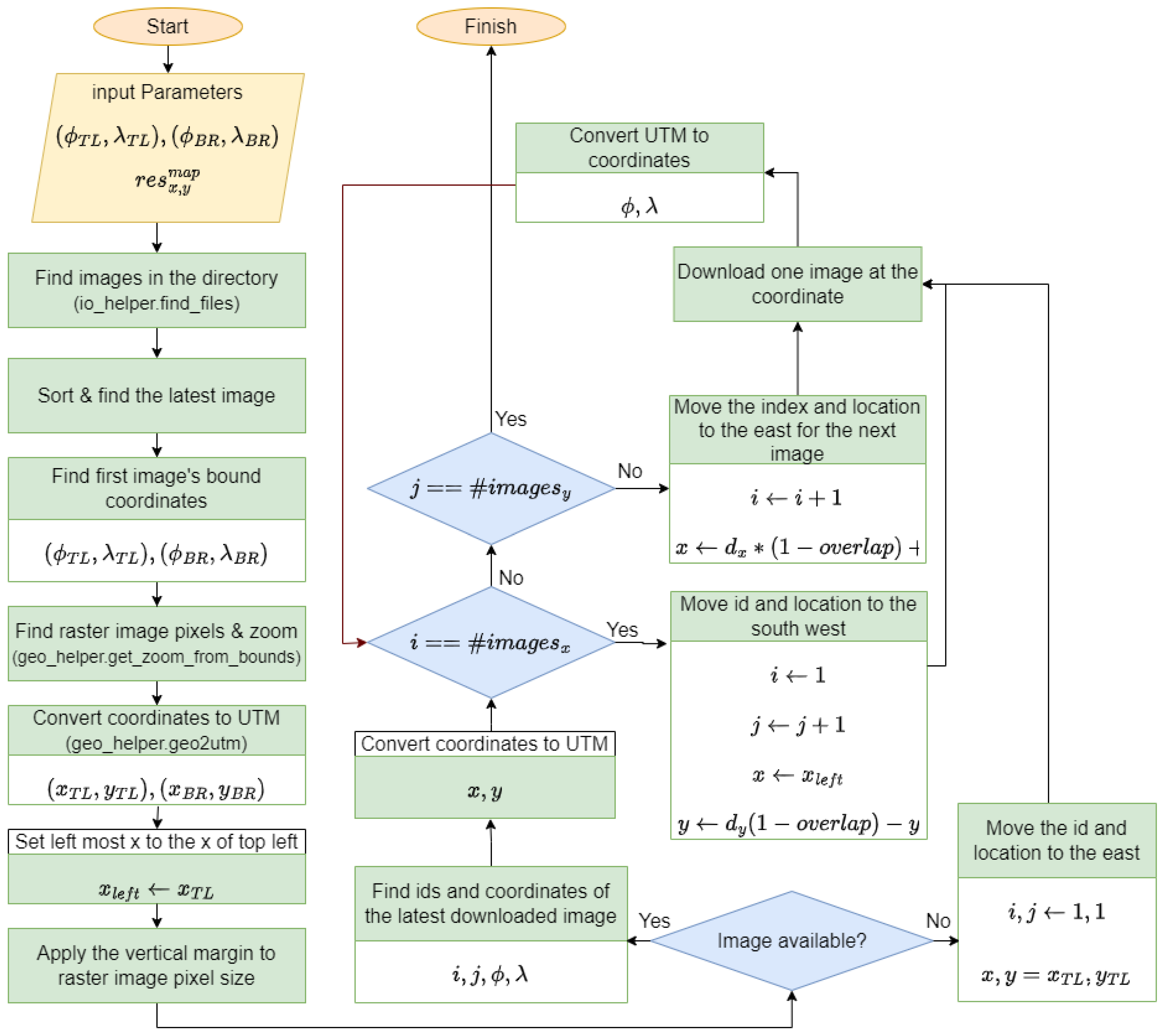
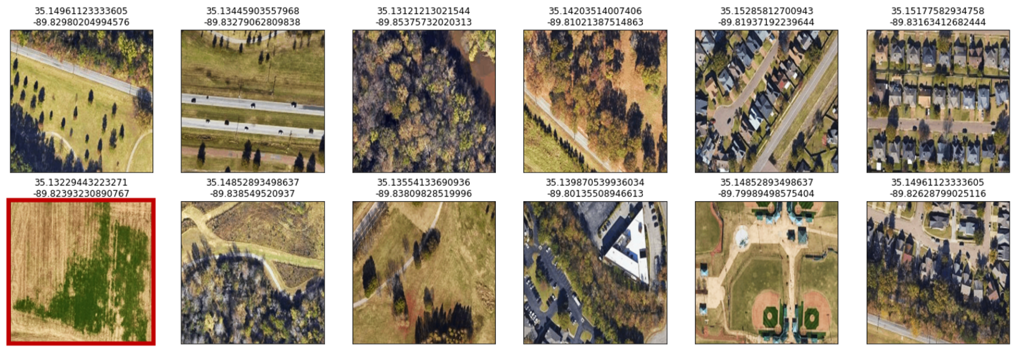
Capturing real-world aerial images for vision-based navigation (VBN) is challenging due to limited availability and conditions that make it nearly impossible to access all desired images from any location. The complexity increases when multiple locations are involved. State-of-the-art solutions, such as deploying UAVs (unmanned aerial vehicles) for aerial imaging or relying on existing research databases, come with significant limitations. TerrAInav Sim offers a compelling alternative by simulating a UAV to capture bird’s-eye view map-based images at zero yaw with real-world visible-band specifications. This open-source tool allows users to specify the bounding box (top-left and bottom-right) coordinates of any region on a map. Without the need to physically fly a drone, the virtual Python UAV performs a raster search to capture images. Users can define parameters such as the flight altitude, aspect ratio, diagonal field of view of the camera, and the overlap between consecutive images. TerrAInav Sim’s capabilities range from capturing a few low-altitude images for basic applications to generating extensive datasets of entire cities for complex tasks like deep learning. This versatility makes TerrAInav a valuable tool for not only VBN but also other applications, including environmental monitoring, construction, and city management. The open-source nature of the tool also allows for the extension of the raster search to other missions. A dataset of Memphis, TN, has been provided along with this simulator. A supplementary dataset is also provided, which includes data from a 3D world generation package for comparison.
Keywords:
vision-based navigation; UAV; satellite image; aerial imaging; simulation; dataset