Article

Enhancing Landslide Susceptibility Mapping by Integrating Neighboring Information in Slope Units: A Spatial Logistic Regression


1
School of Earth Science and Technology, Zhengzhou University, Zhengzhou 450001, China
2
National Institute of Natural Hazards, Ministry of Emergency Management of China, Beijing 100085, China
3
Key Laboratory of Compound and Chained Natural Hazards Dynamics, Ministry of Emergency Management of China, Beijing 100085, China
4
Key Laboratory of Active Tectonics and Volcano, Institute of Geology, China Earthquake Administration, Beijing 100029, China
5
College of Economics and Management, China Agricultural University, Beijing 100083, China
*
Author to whom correspondence should be addressed.
Remote Sens. 2024, 16(23), 4475; https://doi.org/10.3390/rs16234475
Submission received: 28 October 2024 / Revised: 21 November 2024 / Accepted: 26 November 2024 / Published: 28 November 2024
(This article belongs to the Special Issue Application of Remote Sensing Approaches in Geohazard Risk)

Abstract

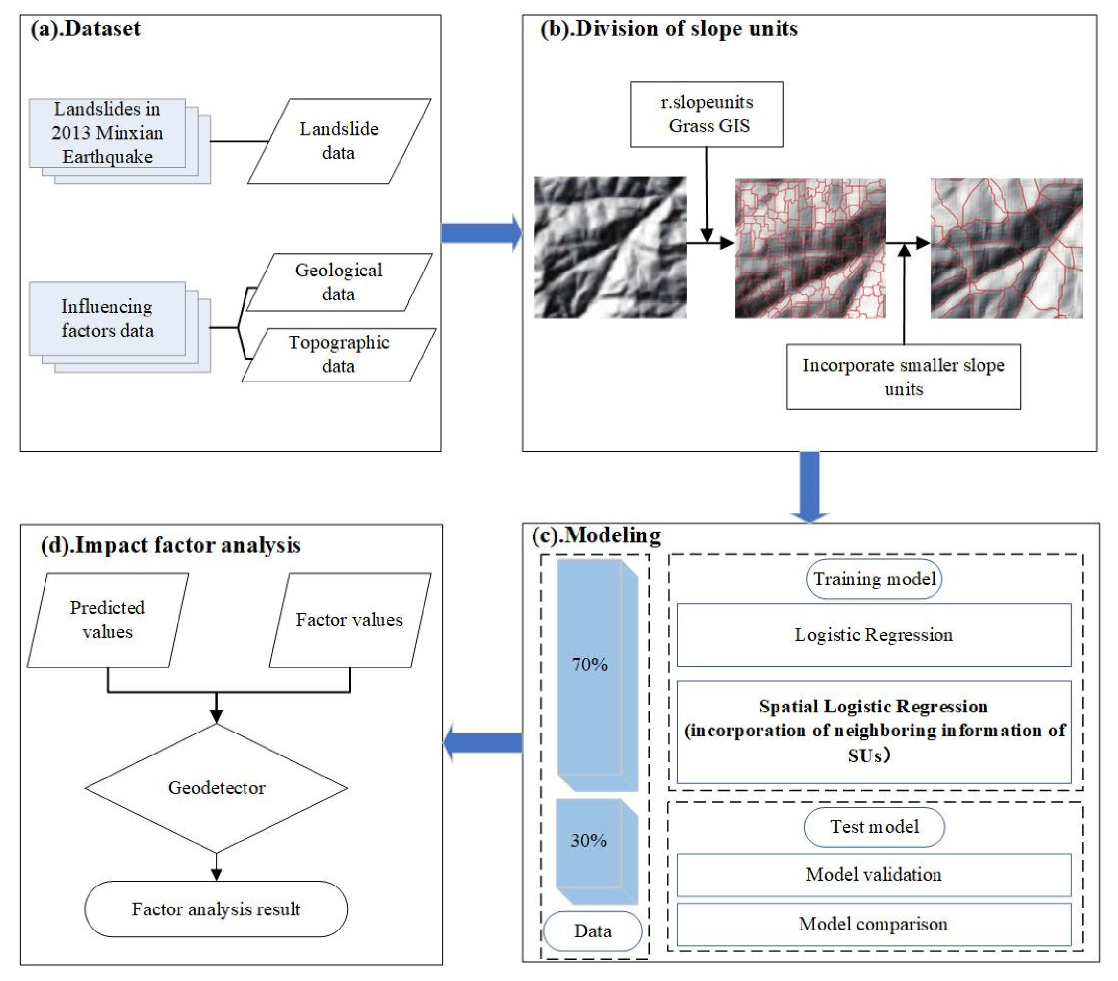
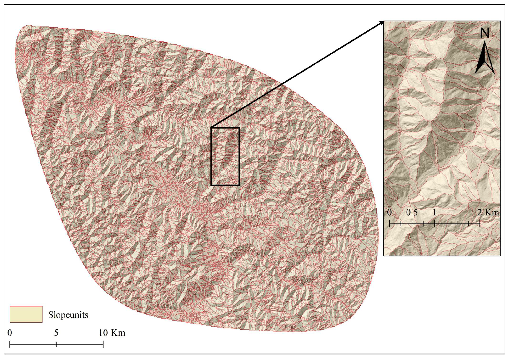
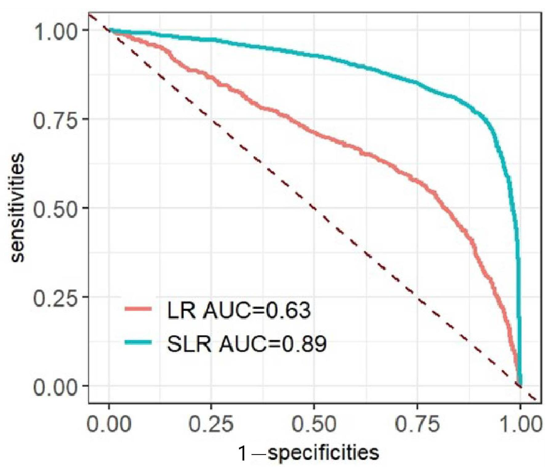
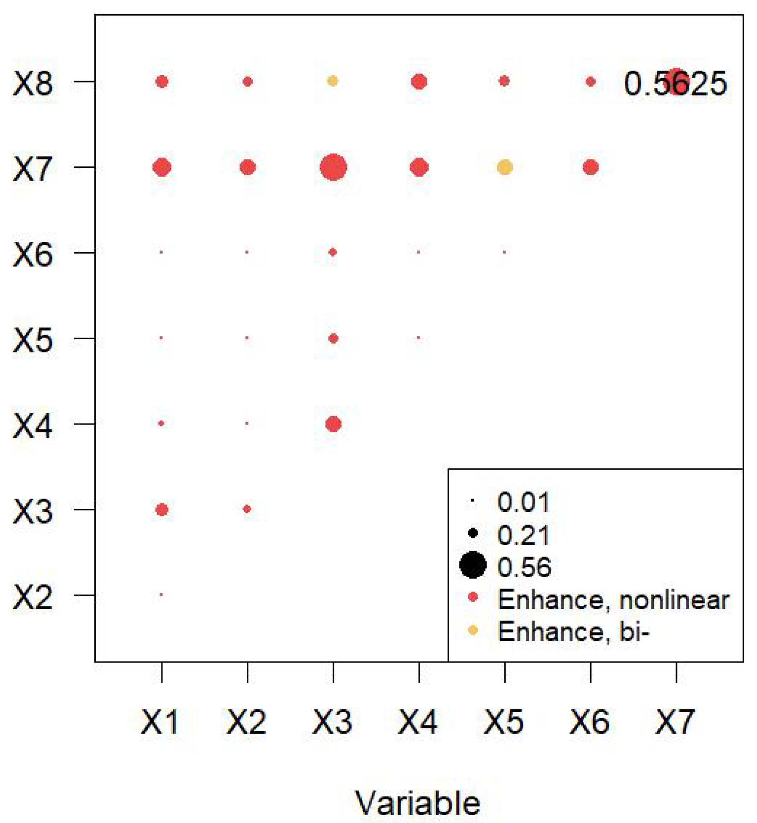
Landslide susceptibility mapping (LSM) is a vital tool for proactive disaster mitigation. Although numerous studies utilize slope units (SUs) for LSM, the limited integration of adjacency information, including spatial autocorrelation, often reduces predictive accuracy. In this study, GRASS GIS was utilized to generate slope units, and a spatial logistic regression (SLR) model was developed to incorporate the adjacency information of the slope units to predict the landslide susceptibility. Then, the spatial stratification heterogeneity patterns of landslide susceptibility were analyzed using GeoDetector. The results showed that the SLR model achieved an area under the curve (AUC) of 0.89, a notable improvement of 0.26 compared to the traditional logistic regression (LR) model that does not incorporate adjacency information. This indicates that incorporating adjacency information effectively enhances LSM accuracy by mitigating spatial autocorrelation. Furthermore, lithology, PGV, and distance to the epicenter were identified as the primary factors contributing to the formation of the spatial stratification heterogeneity of landslide susceptibility. Among these, the interaction between lithology and PGV exhibits the strongest nonlinear enhancement. By integrating both mapping units and their adjacency information, this study provides a novel approach to improving the predictive accuracy of LSM. Moreover, by analyzing the driving factors of spatial stratification heterogeneity in landslide susceptibility maps, the study advances the practical utility of LSM for disaster management and mitigation.
Keywords: slope units; landslide susceptibility mapping; spatial logistic regression model; spatial stratification heterogeneity; GeoDetector slope units; landslide susceptibility mapping; spatial logistic regression model; spatial stratification heterogeneity; GeoDetector