Article

Sea Tide Influence on Ice Flow of David Drygalski’s Ice Tongue Inferred from Geodetic GNSS Observations and SAR Offset Tracking Analysis


1
Department of Civil, Chemical, Environmental and Materials Engineering, University of Bologna, Viale Risorgimento 2, 40136 Bologna, Italy
2
Istituto Nazionale di Geofisica e Vulcanologia (INGV)—Viale Carlo Berti Pichat, 6/2, 40127 Bologna, Italy
3
Department of History and Cultures, University of Bologna, Via Guerrazzi 20, 40124 Bologna, Italy
*
Author to whom correspondence should be addressed.
Remote Sens. 2023, 15(8), 2037; https://doi.org/10.3390/rs15082037
Submission received: 20 February 2023 / Revised: 5 April 2023 / Accepted: 10 April 2023 / Published: 12 April 2023
(This article belongs to the Special Issue Antarctic Remote Sensing Applications)

Abstract

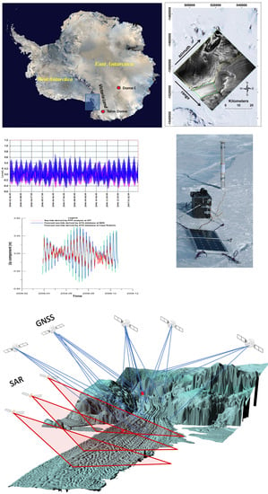
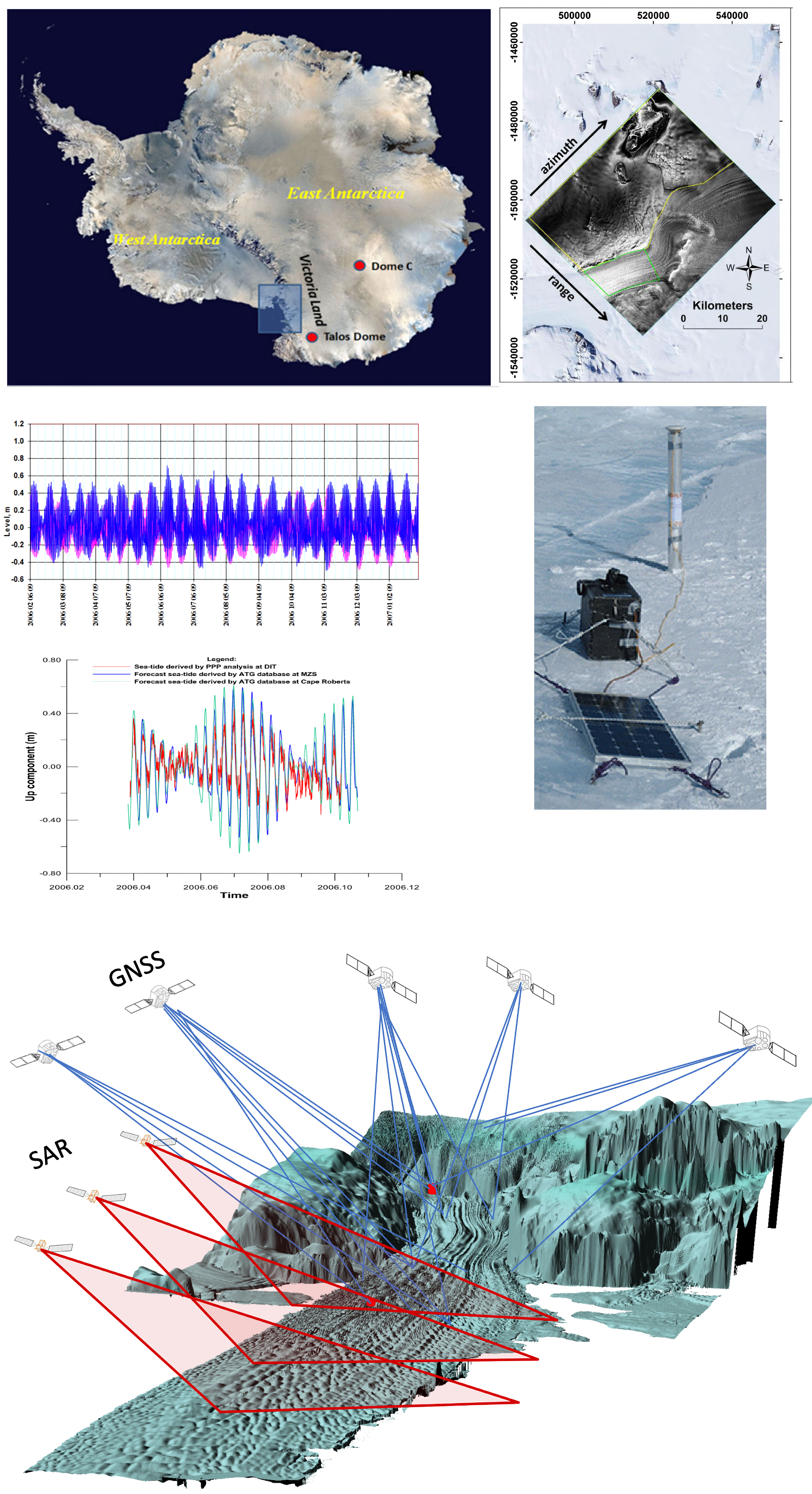
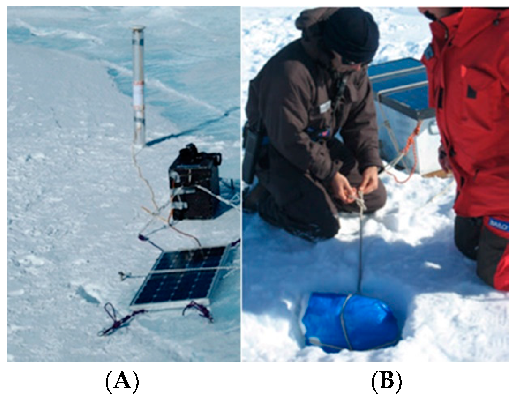
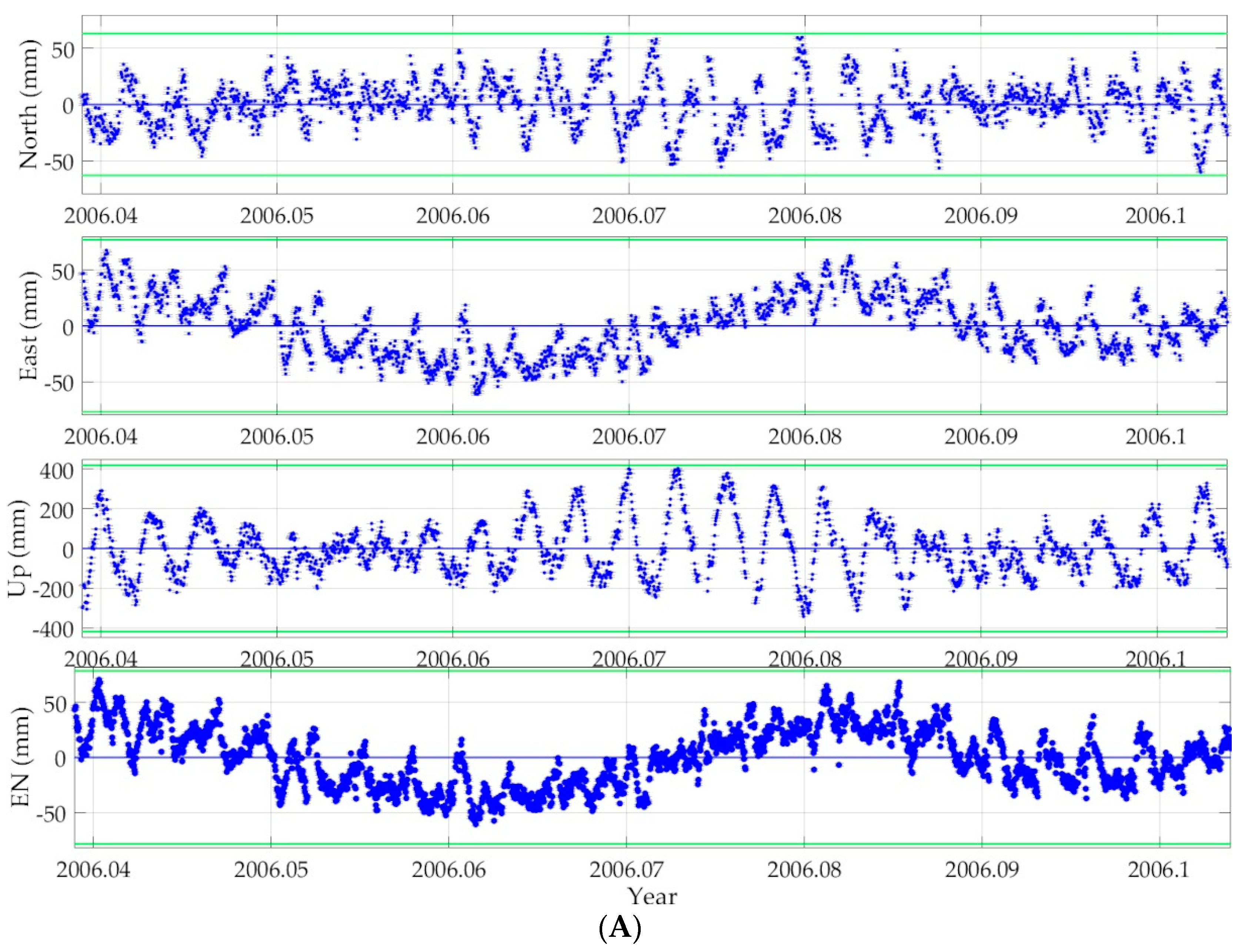
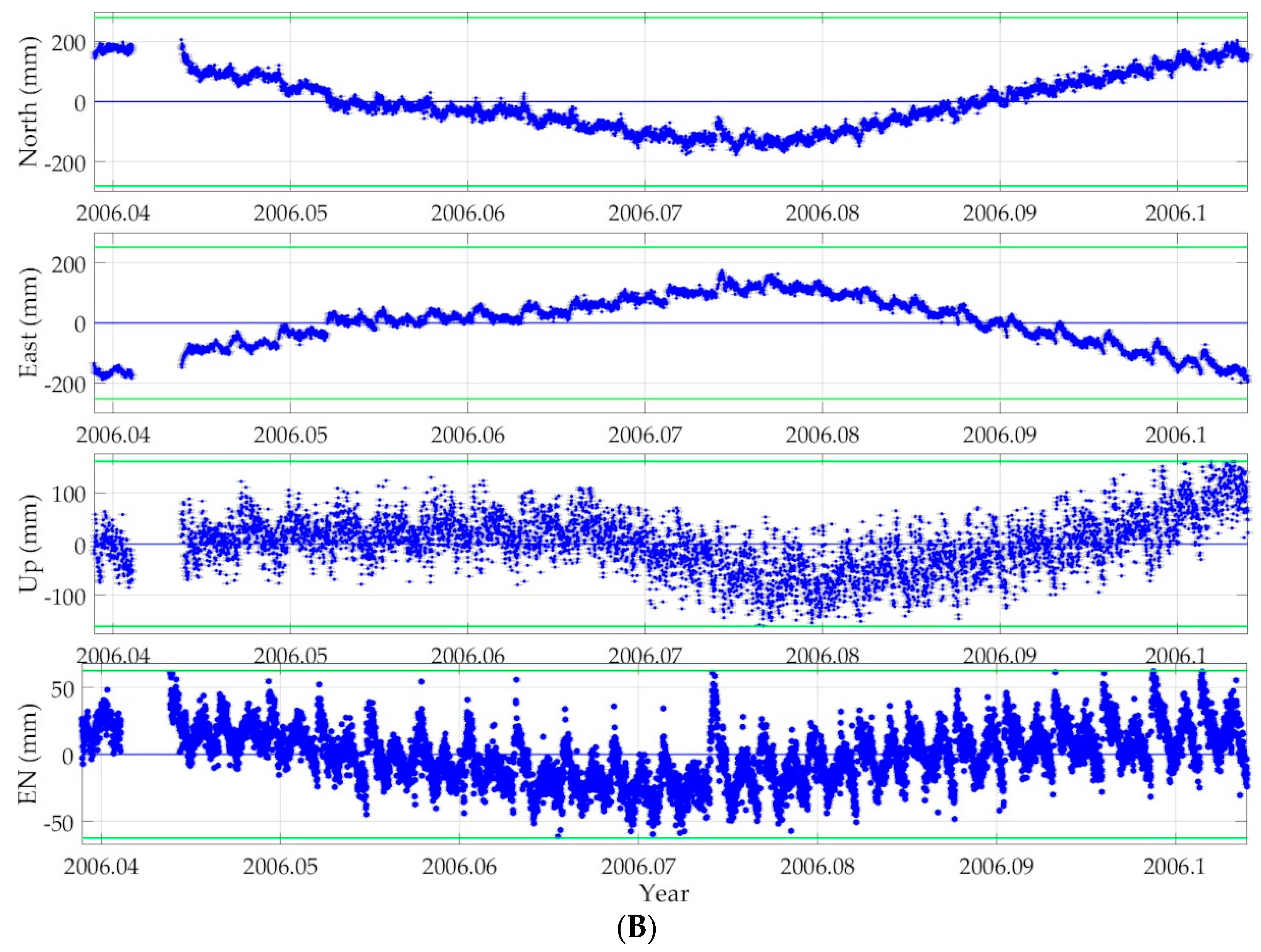
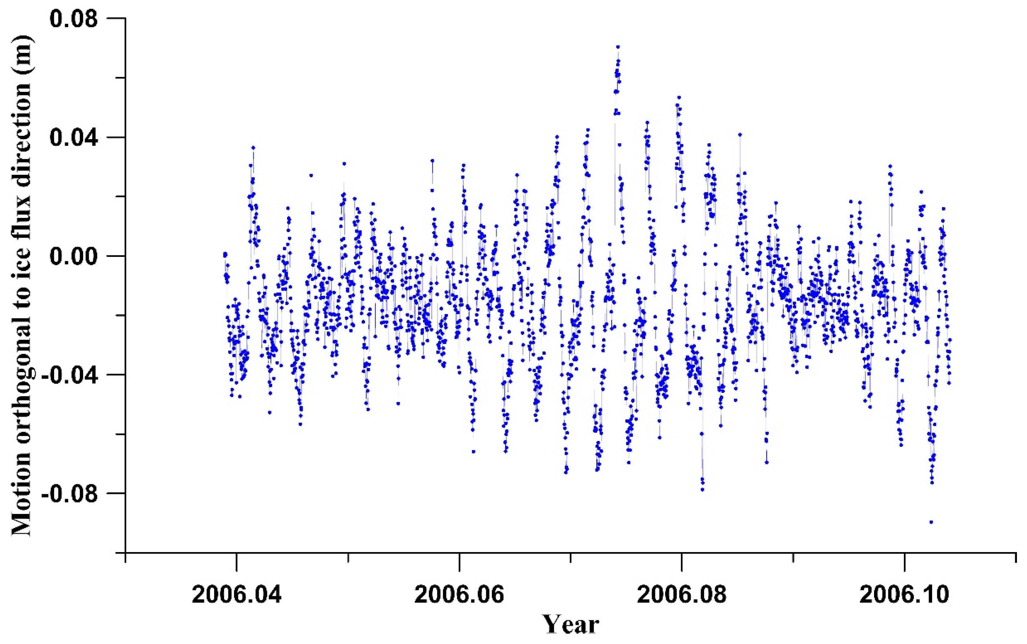
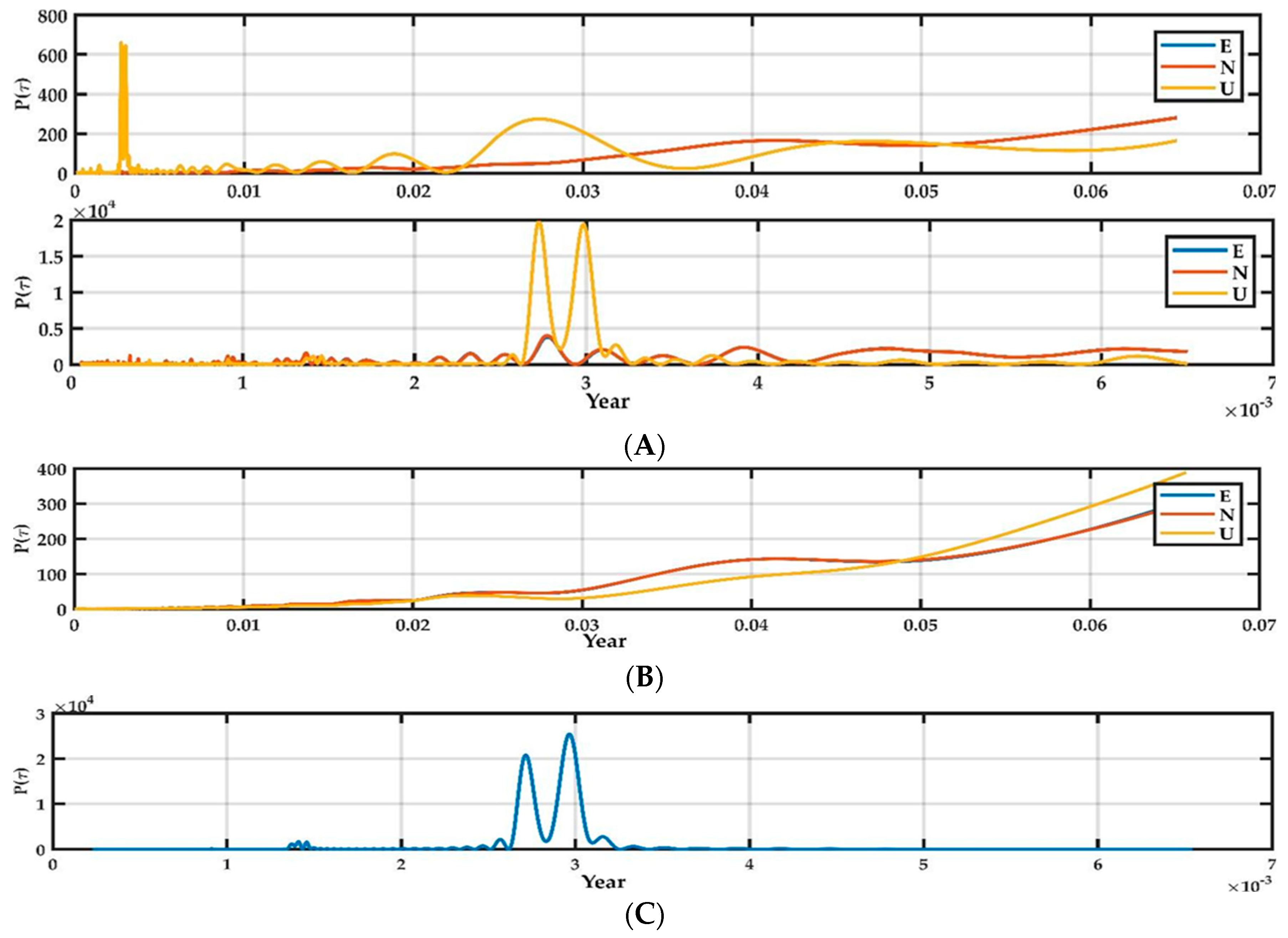
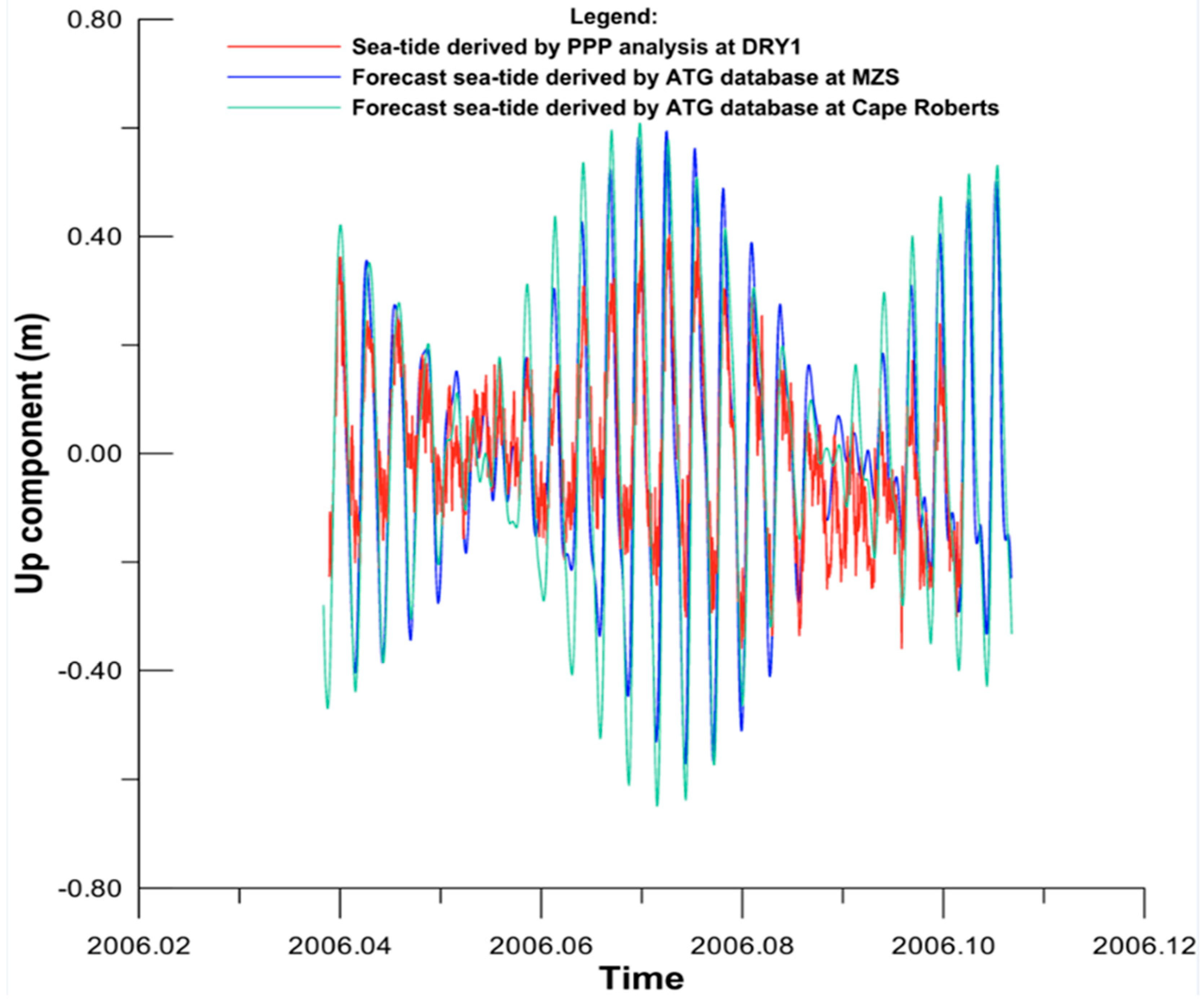
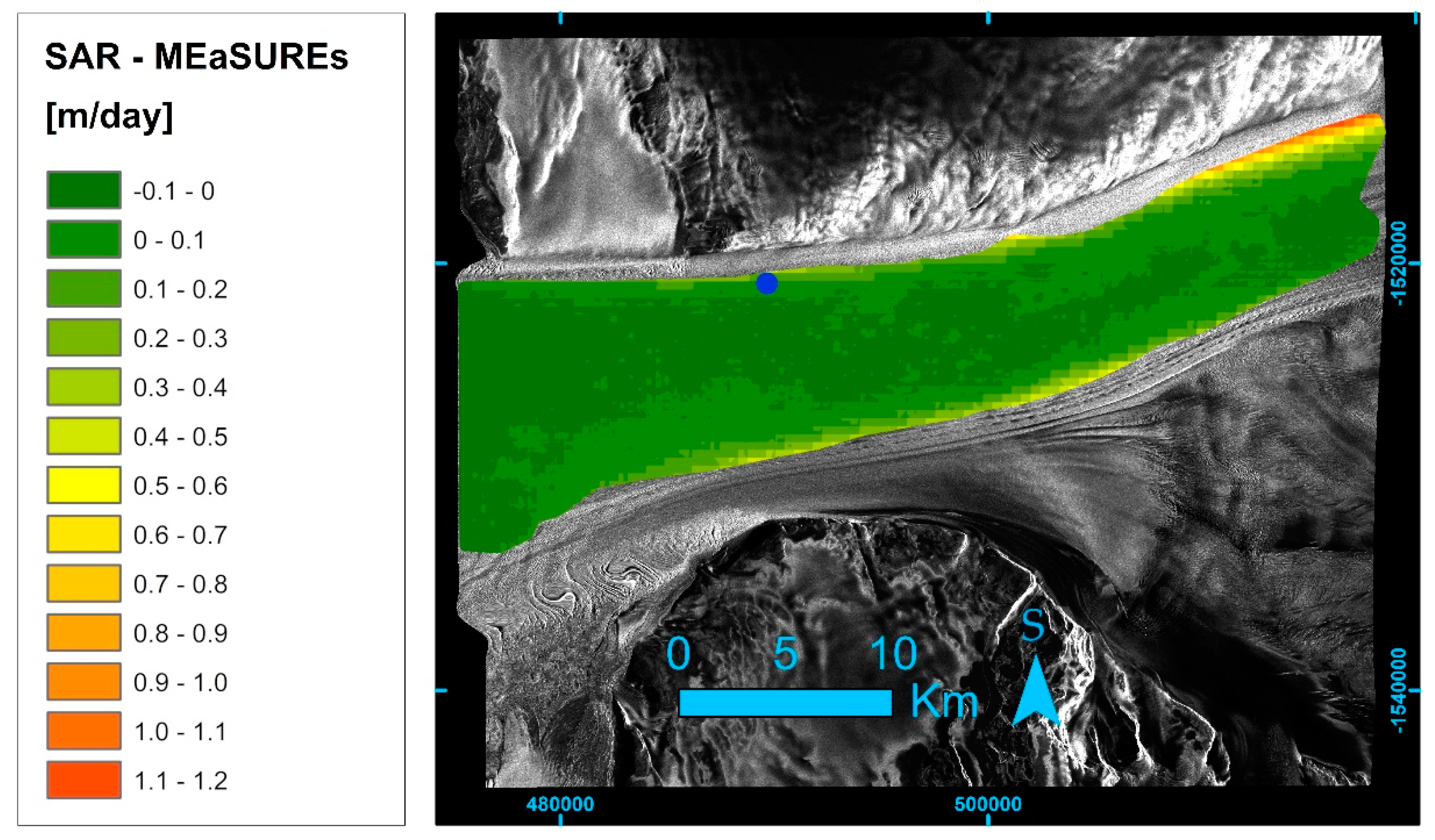
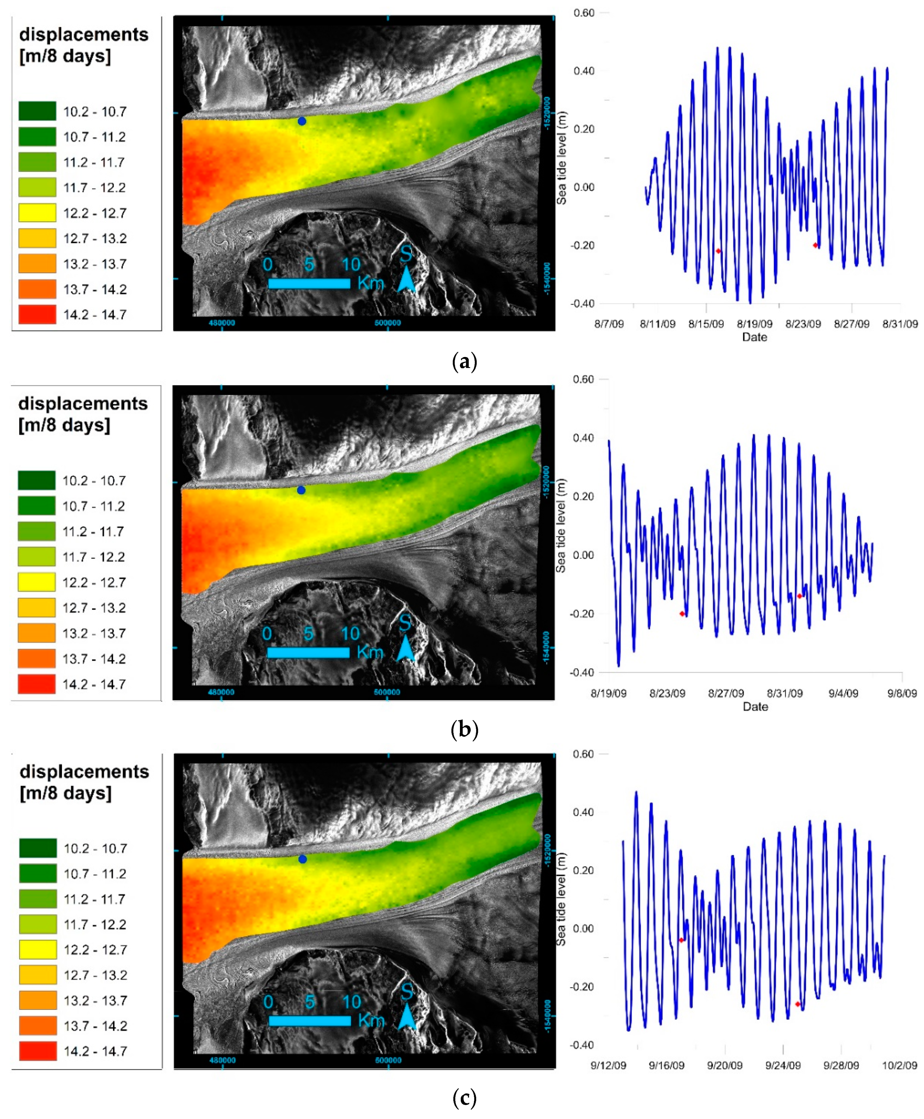
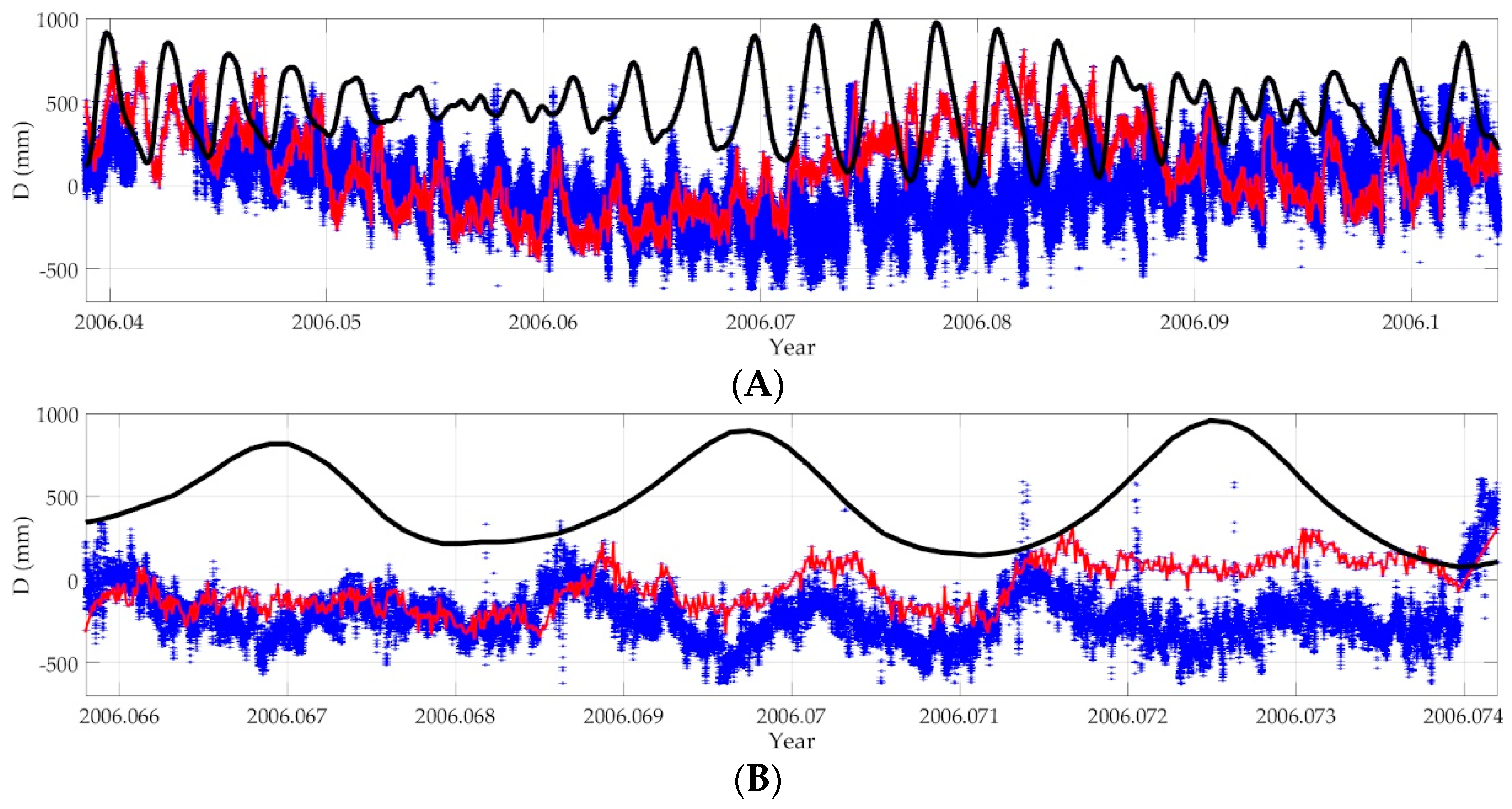
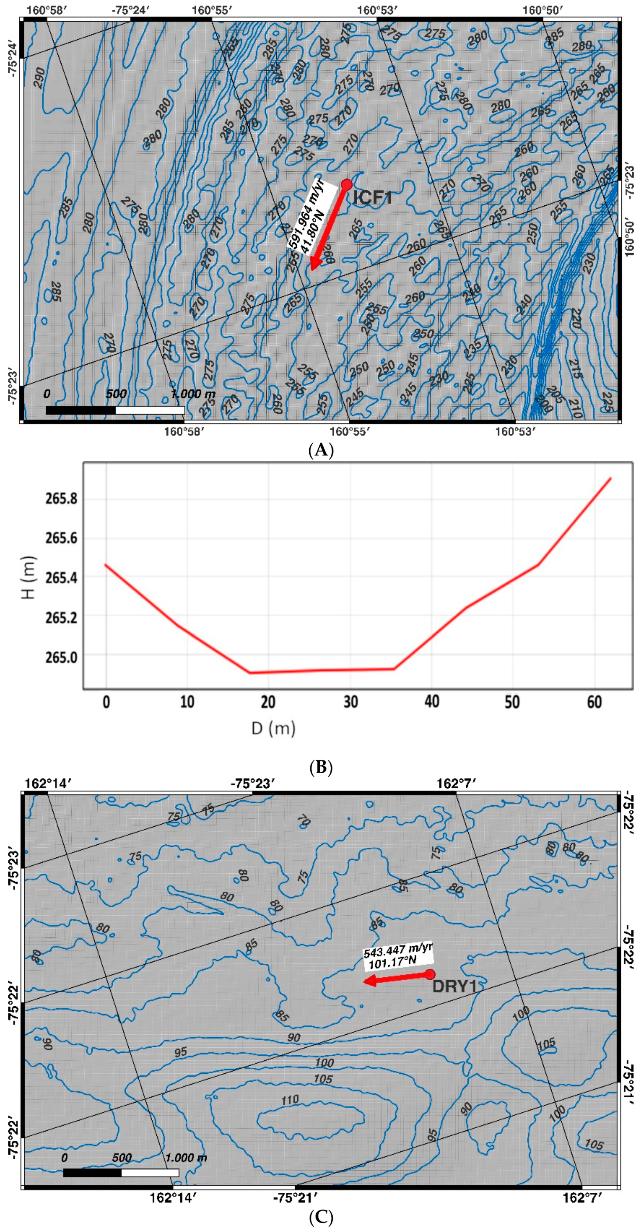
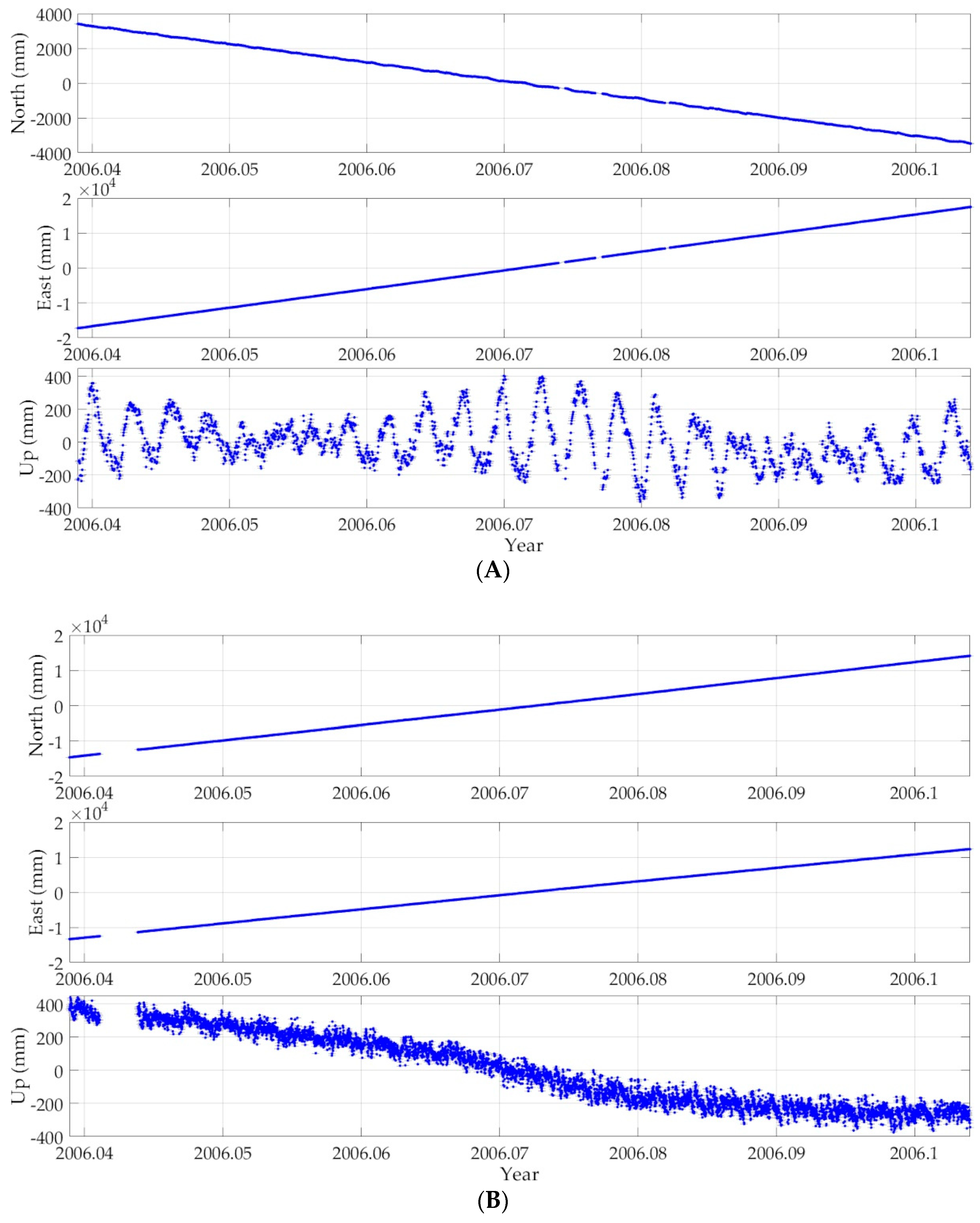
David Glacier and Drygalski Ice Tongue are massive glaciers in Victoria Land, Antarctica. The ice from the East Antarctic Ice Sheet is drained through the former, and then discharged into the western Ross Sea through the latter. David Drygalski is the largest outlet glacier in Northern Victoria Land, floating kilometers out to sea. The floating and grounded part of the David Glacier are the main focus of this article. During the XXI Italian Antarctic Expedition (2005–2006), within the framework of the National Antarctic Research Programme (PNRA), two GNSS stations were installed at different points: the first close to the grounding line of David Glacier, and the second approximately 40 km downstream of the first one. Simultaneous data logging was performed by both GNSS stations for 24 days. In the latest data processing, the kinematic PPP technique was adopted to evaluate the dominant diurnal components and the very small semi-diurnal variations in ice motion induced by the ocean tide and the mean ice flow rates of both GNSS stations. Comparison of the GNSS time series with predicted ocean tide calculated from harmonic coefficients of the nearest tide gauge stations, installed at Cape Roberts and Mario Zucchelli Station, highlight different local response of the glacier to ocean tide, with a minor amplitude of vertical motion at a point partially anchored at the bedrock close to the grounding line. During low tide, the velocity of the ice flow reaches its daily maximum, in accordance with the direction of seawater outflow from the fjord into the ocean, while the greatest daily tidal excursion generates an increase in the horizontal ice flow velocity. With the aim to extend the analysis in spatial terms, five COSMO-SkyMED Stripmap scenes were processed. The comparison of the co-registered offset tracking rates, obtained from SAR images, with the GNSS estimation shows good agreement.
Keywords: Antarctic glaciology; kinematic precise point positioning; GNSS time series; ice dynamics; synthetic aperture radar; COSMO-SkyMed Antarctic glaciology; kinematic precise point positioning; GNSS time series; ice dynamics; synthetic aperture radar; COSMO-SkyMed
Graphical Abstract