Article

Satellite Multi-Sensor Data Analysis of Unusually Strong Polar Lows over the Chukchi and Beaufort Seas in October 2017


Far Eastern Branch, V.I. Il’ichev Pacific Oceanological Institute, Russian Academy of Sciences, 43, Baltiyskaya, 690041 Vladivostok, Russia
*
Author to whom correspondence should be addressed.
Remote Sens. 2023, 15(1), 120; https://doi.org/10.3390/rs15010120
Submission received: 25 October 2022 / Revised: 16 December 2022 / Accepted: 19 December 2022 / Published: 26 December 2022
(This article belongs to the Special Issue Remote Sensing of Changing Arctic Sea Ice)

Abstract

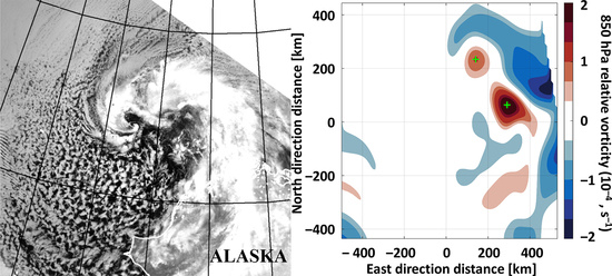
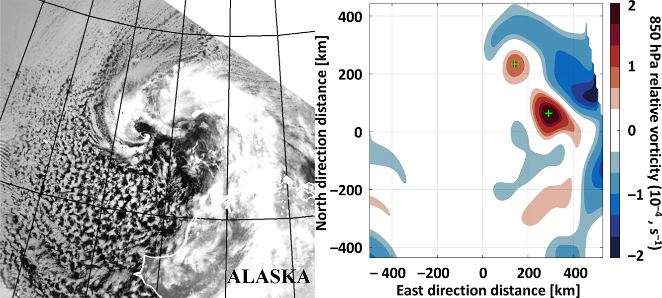
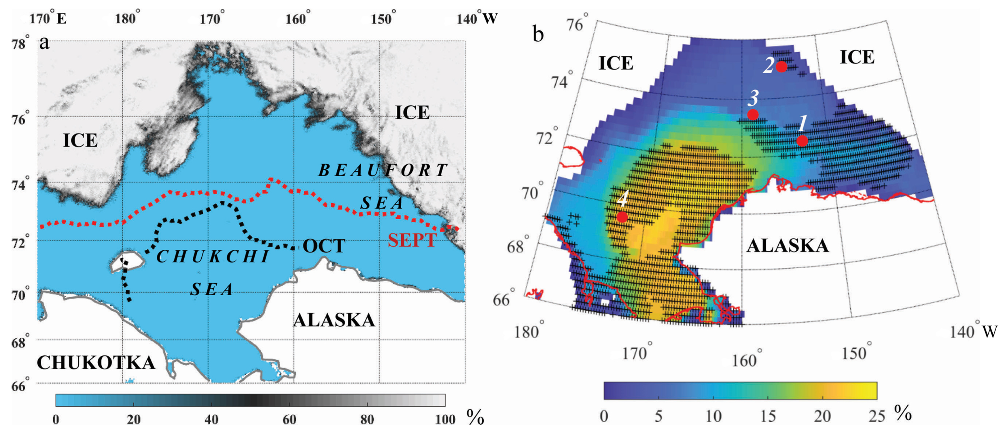
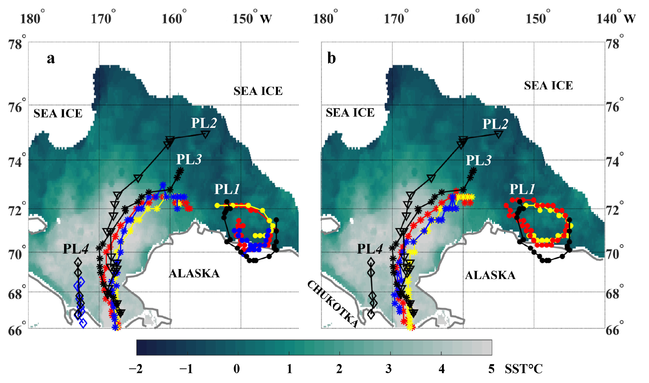
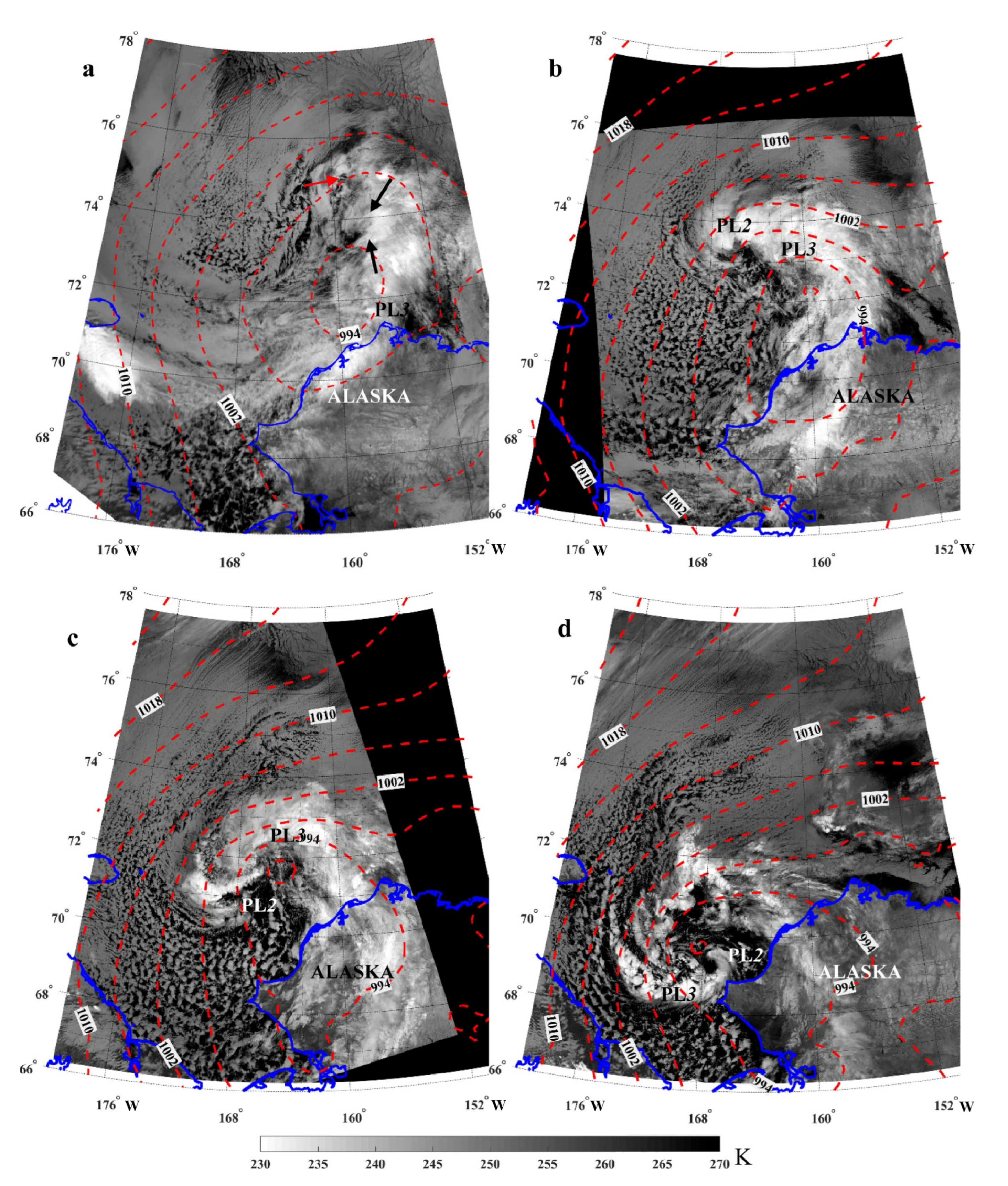
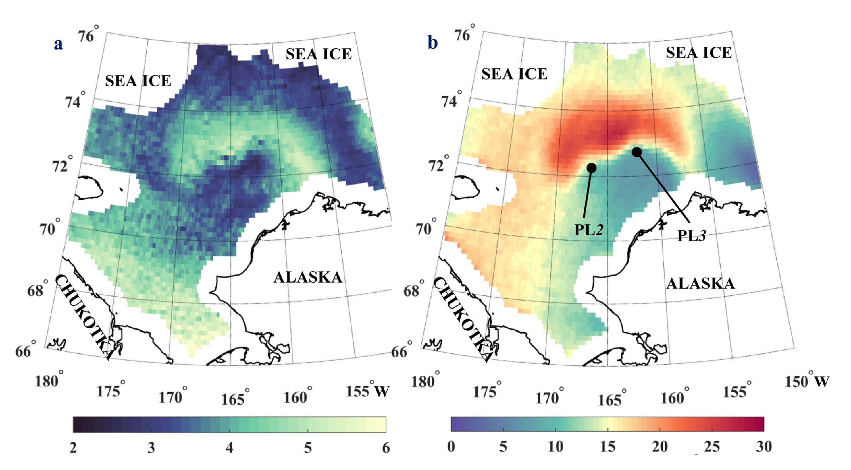
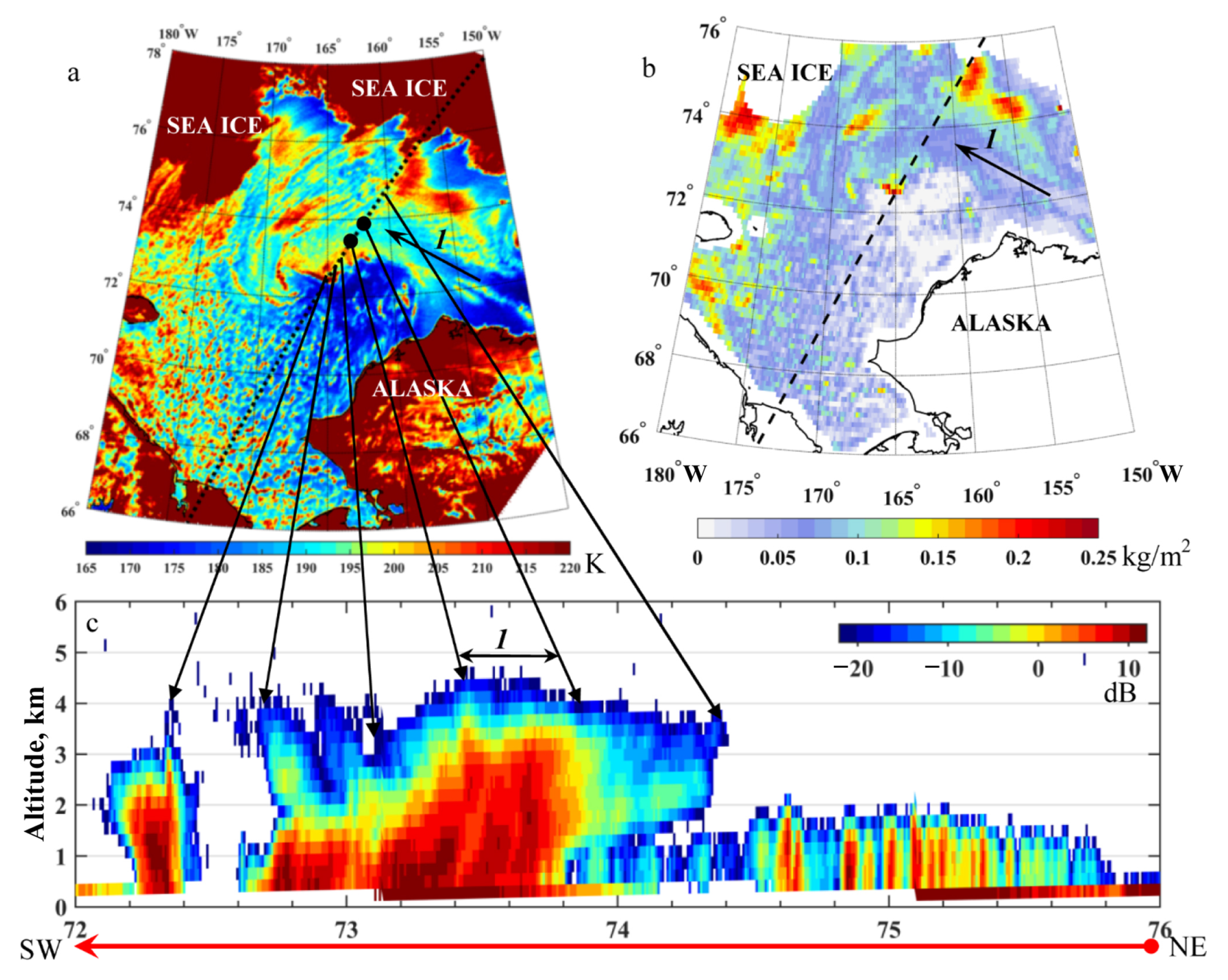
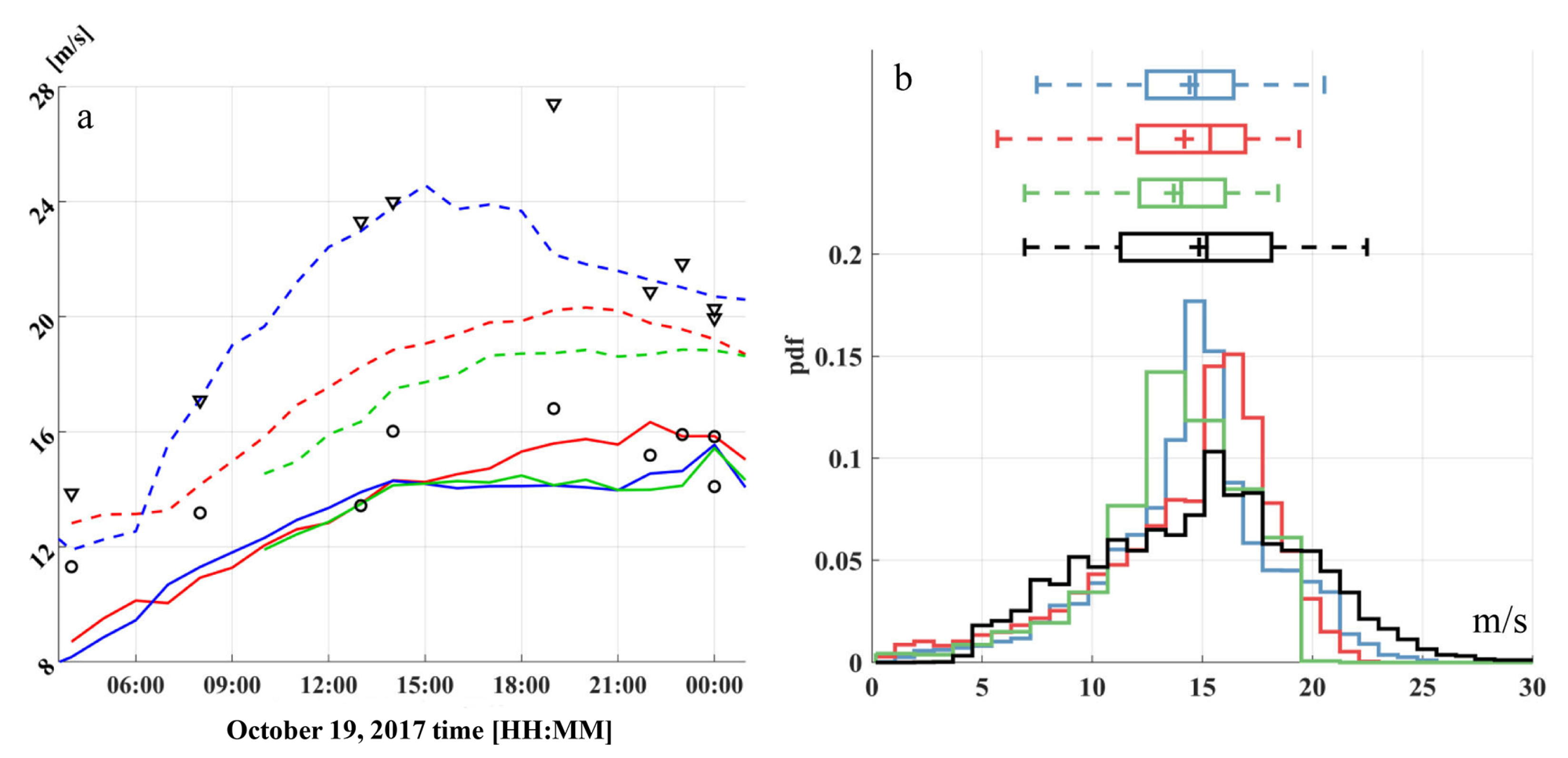
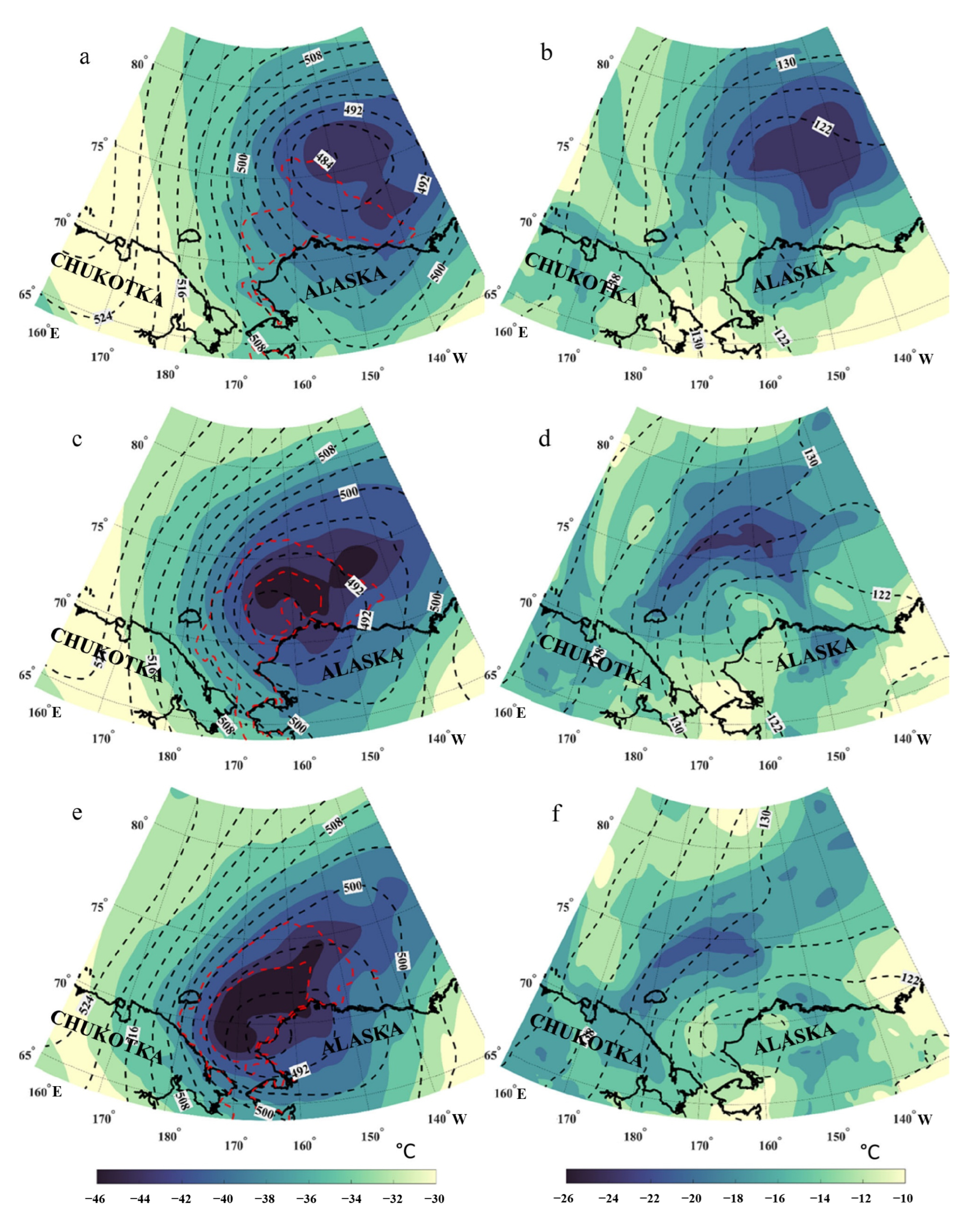
Polar lows (PLs) are intense mesoscale weather systems that often cause severe storm winds in the Nordic Seas but were considered as being exceedingly rare in the Pacific Arctic region before sea ice decline. Here, we explore four PLs observed on 18–22 October 2017 in the Chukchi and Beaufort Seas—an area with an exceptionally sparse observation network. The study is based on the combined use of the satellite microwave measurements, as well as infrared imagery, the ERA5, MERRA-2 and NCEP-CFSv2 reanalysis data sets. An unusually strong PLs pair developed near the marginal ice zone during a marine-cold air outbreak in anomalously low sea ice extent conditions. PLs pair moved southward as a mesocyclonic system called the “merry-go-round”, under the upper-level tropospheric vortex with a cold core. Multi-sensor satellite measurements show that, in the mature stage, a PL pair had near-surface wind speeds (W) close to hurricane force—over 30 m/s. Comparison analysis of W distributions within the strongest PL showed that all reanalysis data sets reasonably reproduce the PL median wind speed but underestimate its extreme values by 15–23%. The reanalysis data sets detected only two PLs with horizontal scales of over 220 km. Tracks of identified PLs for all data sets are in good agreement with the ones obtained from satellite images capturing the main features of the mesoscale weather system propagation. For the track of the strongest PL event, ERA5 exhibited the most accordance with satellite observations with a tracking error of 50–60 km.
Keywords: multi-sensor satellite observations; polar lows; high winds; Arctic; the Chukchi Sea; reanalysis data sets multi-sensor satellite observations; polar lows; high winds; Arctic; the Chukchi Sea; reanalysis data sets
Graphical Abstract