Article

Detection of Direct Sun Glare on Drivers from Point Clouds
by
Silvia María González-Collazo
*,
Pablo del Río-Barral
,
Jesús Balado
and
Elena González
GeoTECH Group, CINTECX, Universidade de Vigo, 36310 Vigo, Spain
*
Author to whom correspondence should be addressed.
Remote Sens. 2022, 14(6), 1456; https://doi.org/10.3390/rs14061456
Submission received: 14 February 2022 / Revised: 15 March 2022 / Accepted: 16 March 2022 / Published: 18 March 2022

Abstract

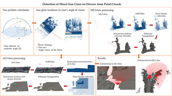
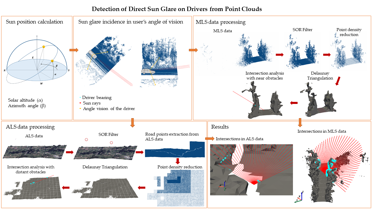
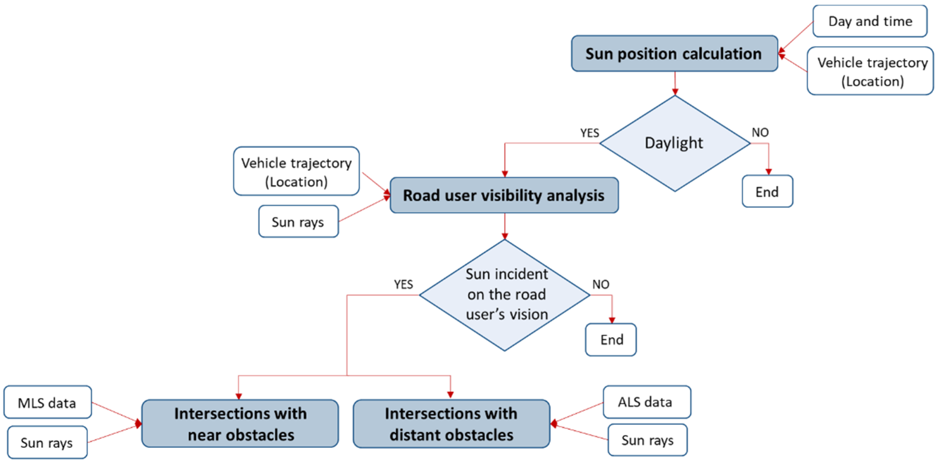
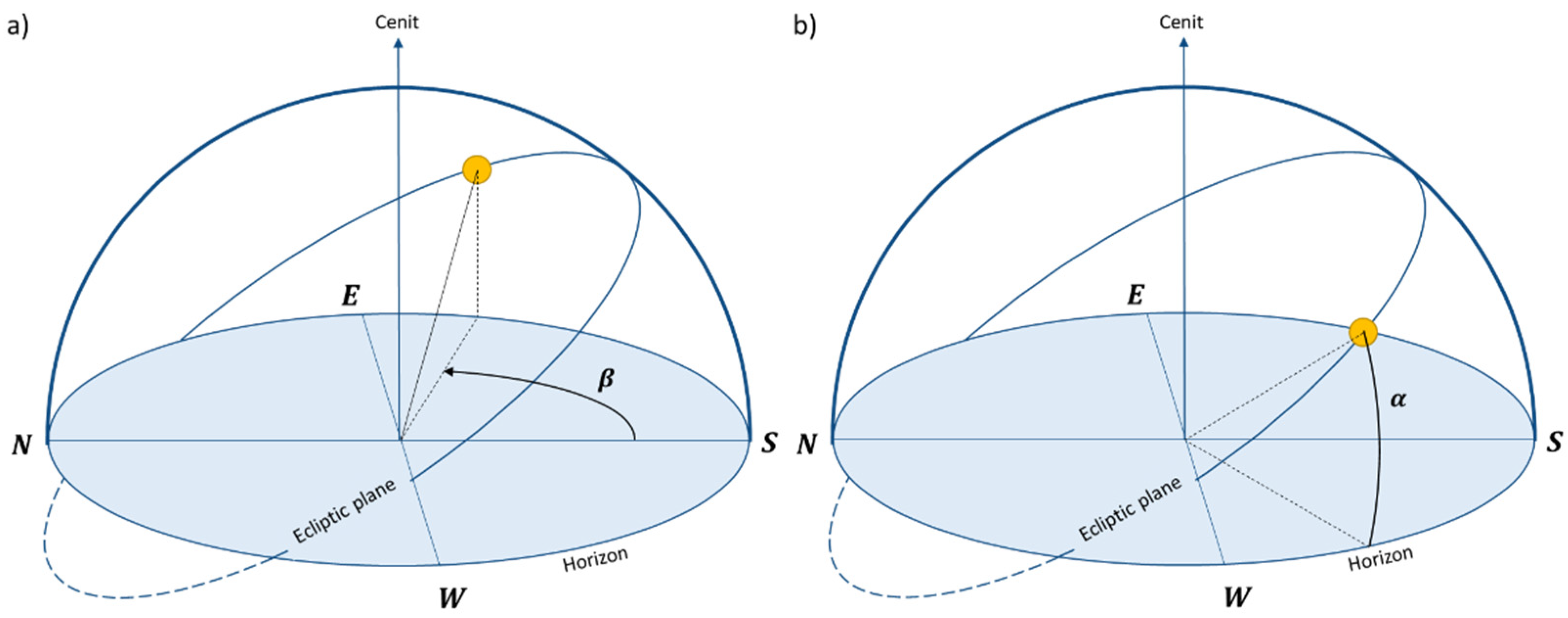
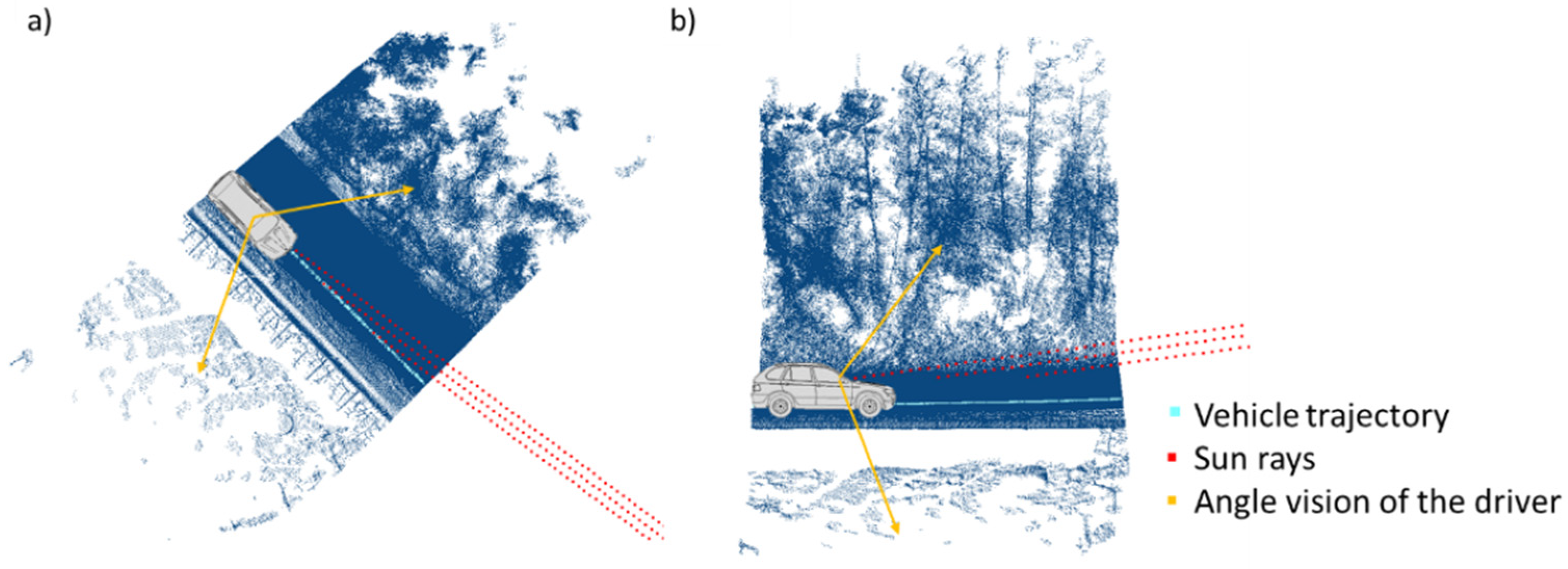
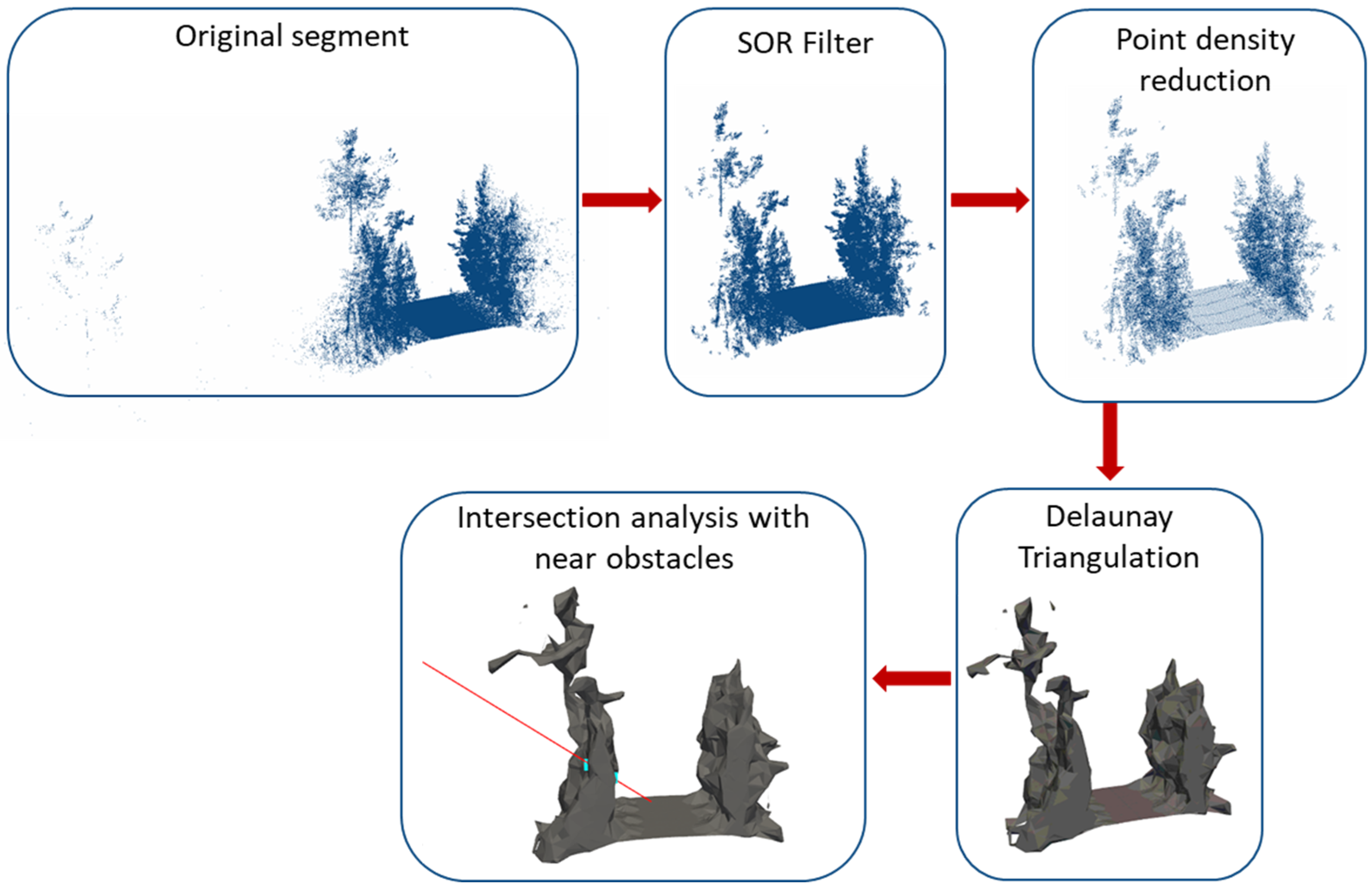
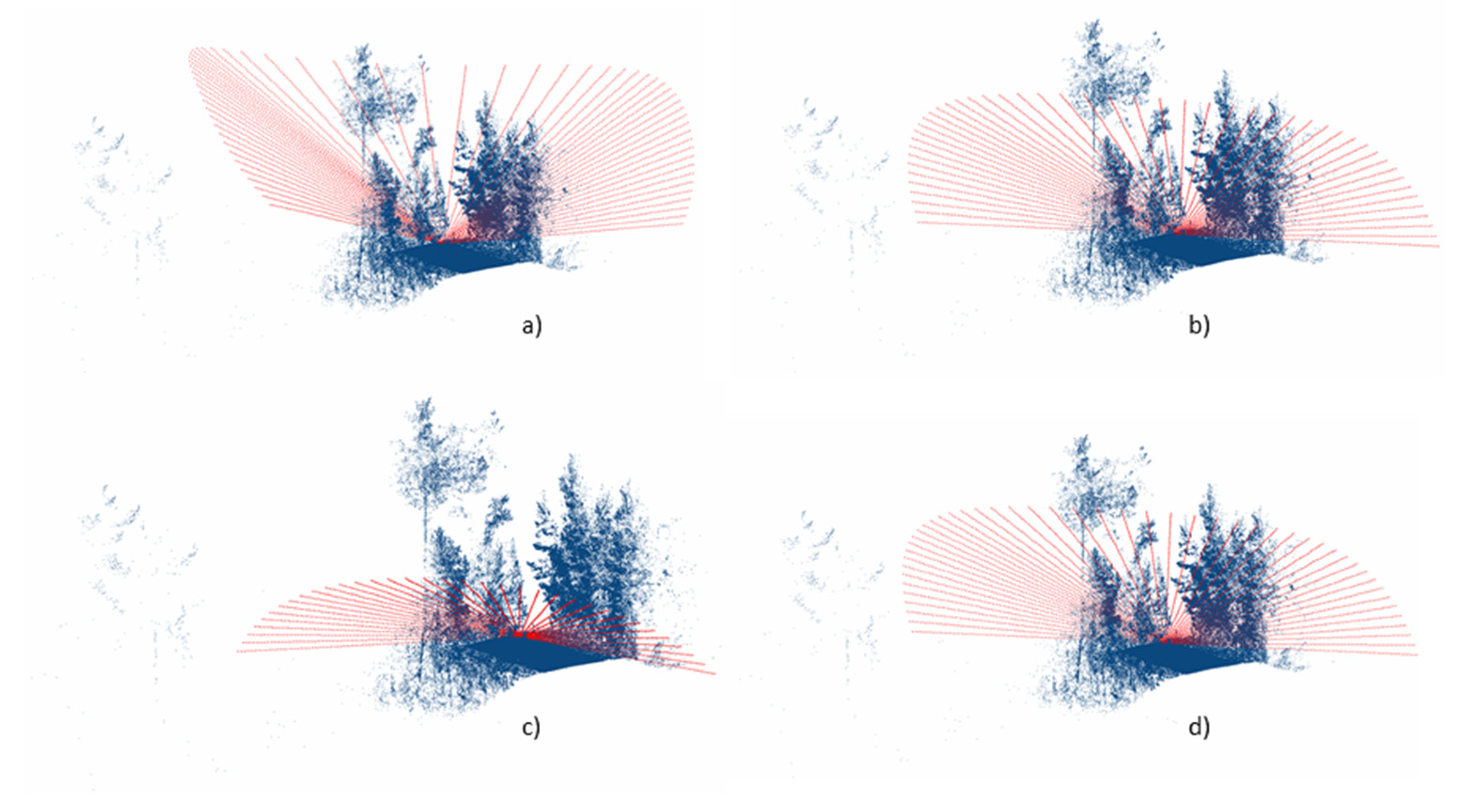
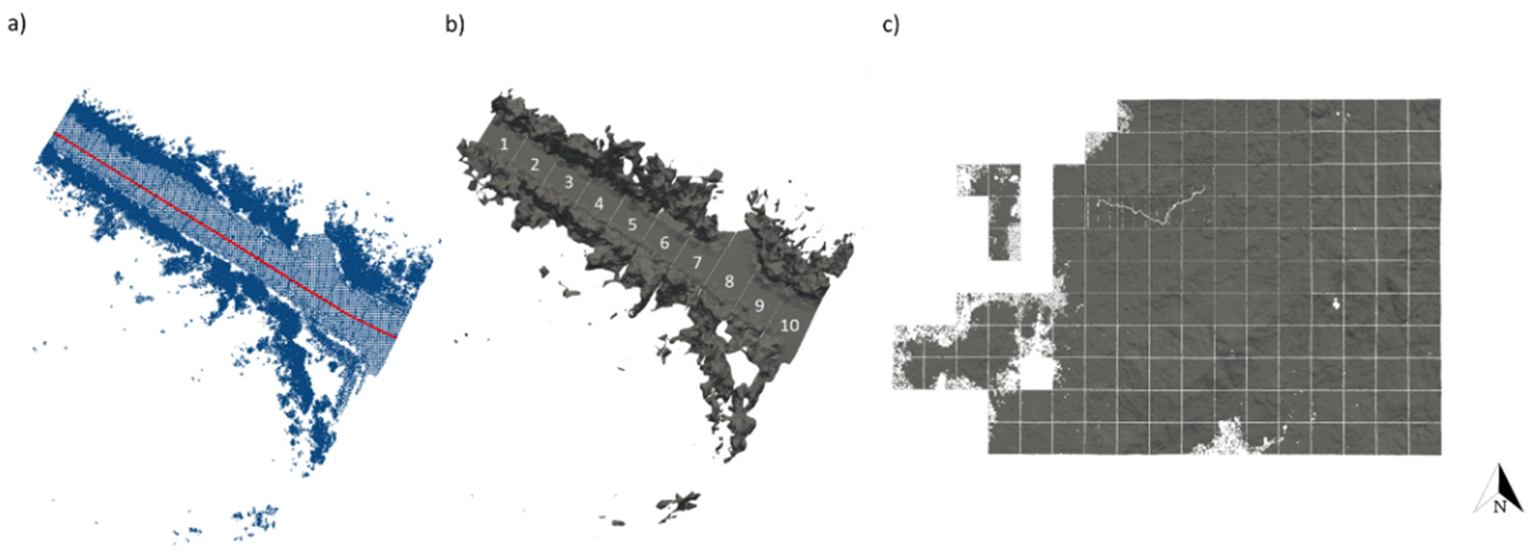
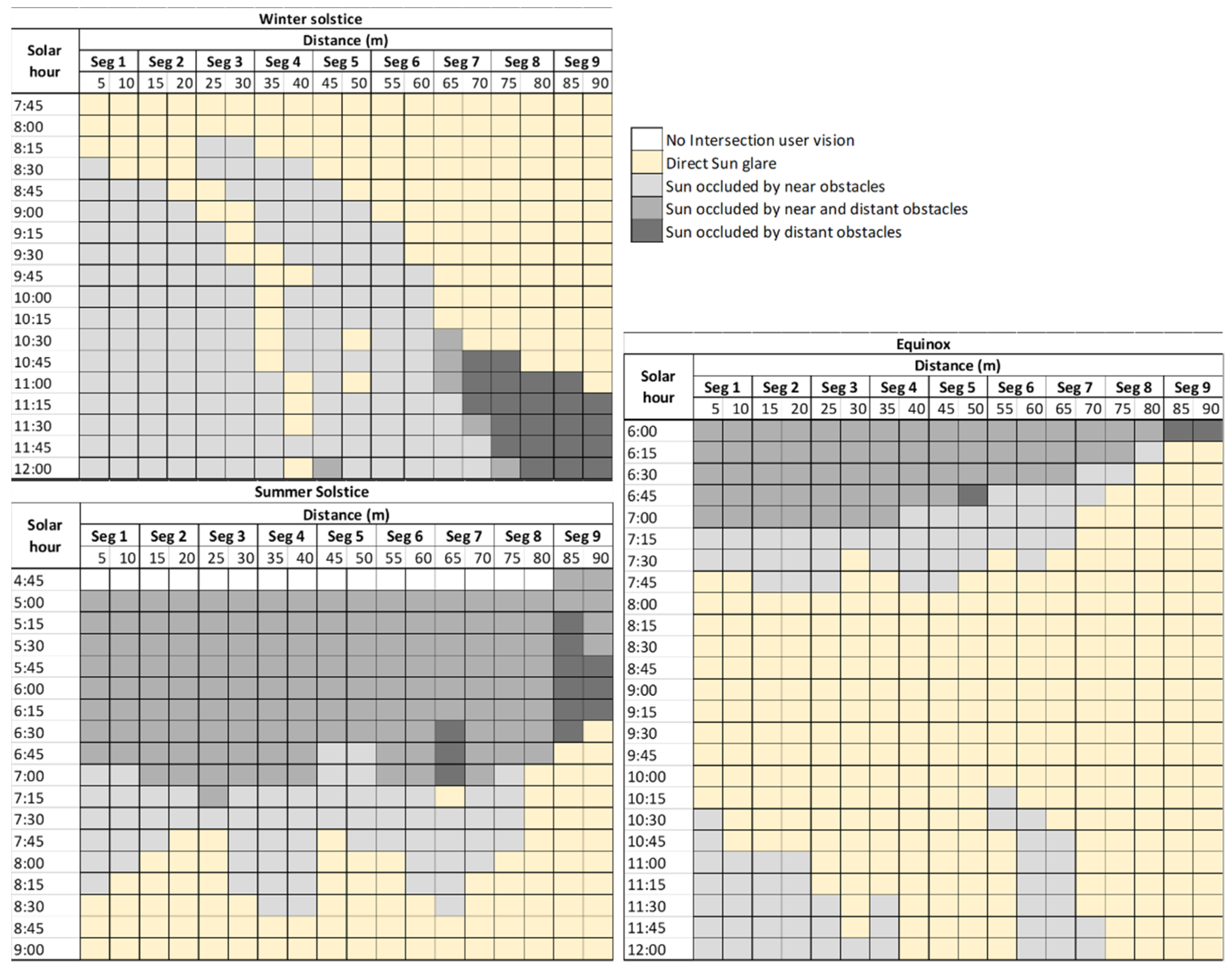
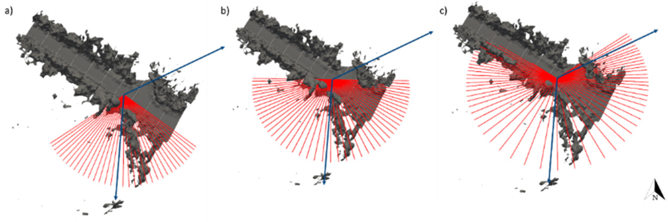
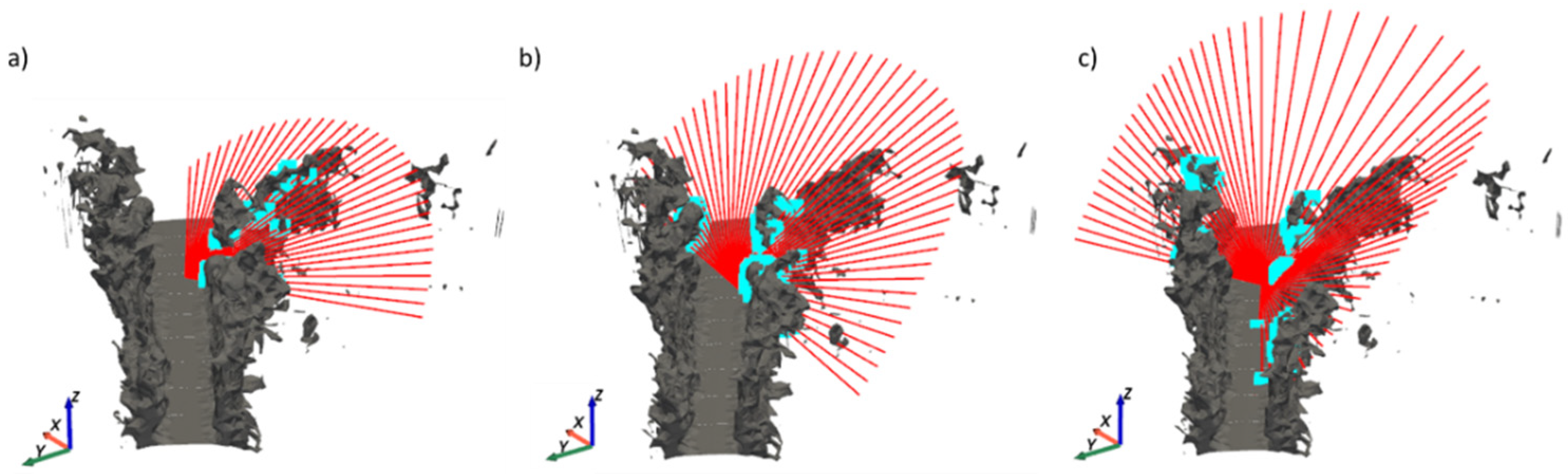
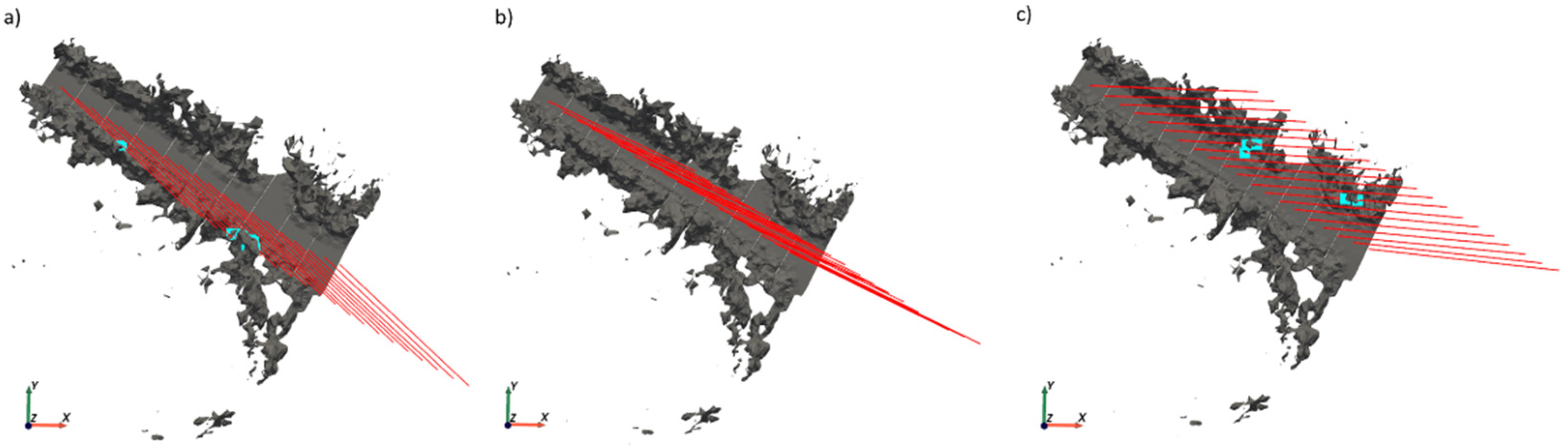
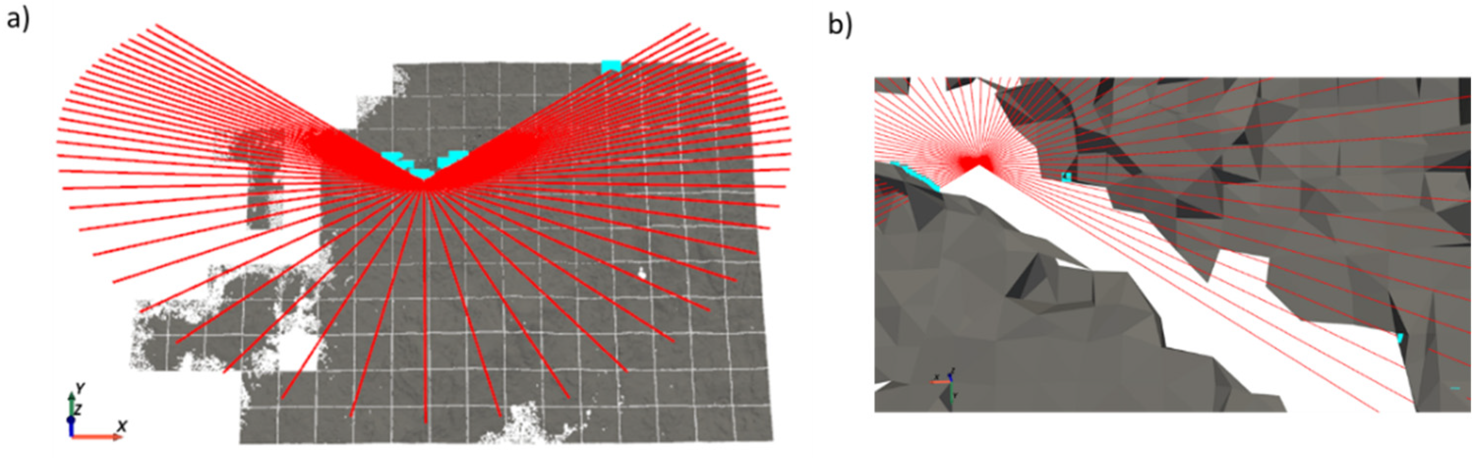
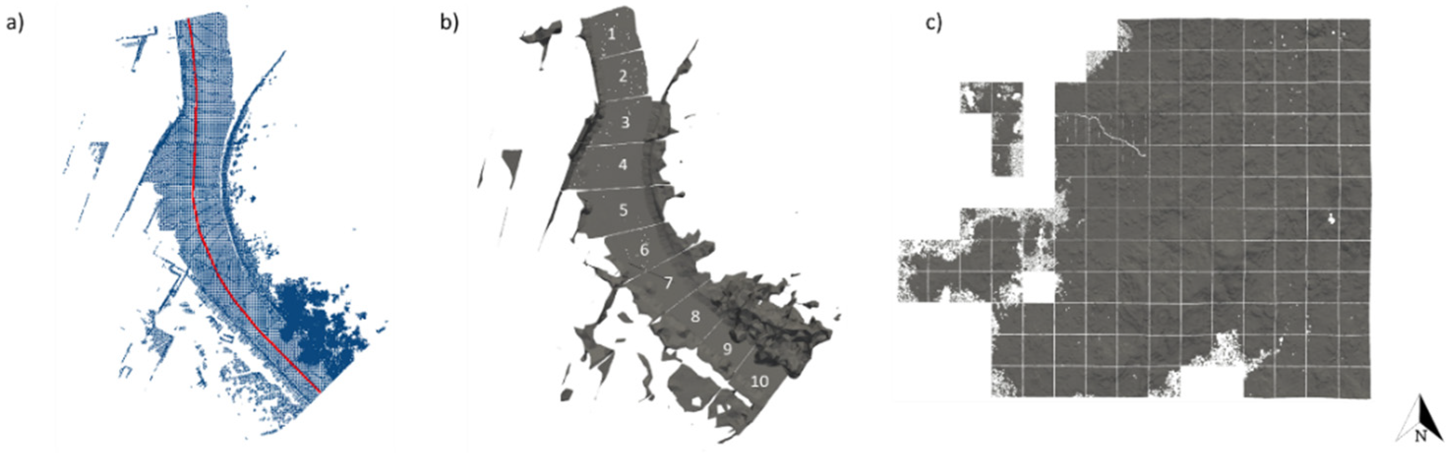
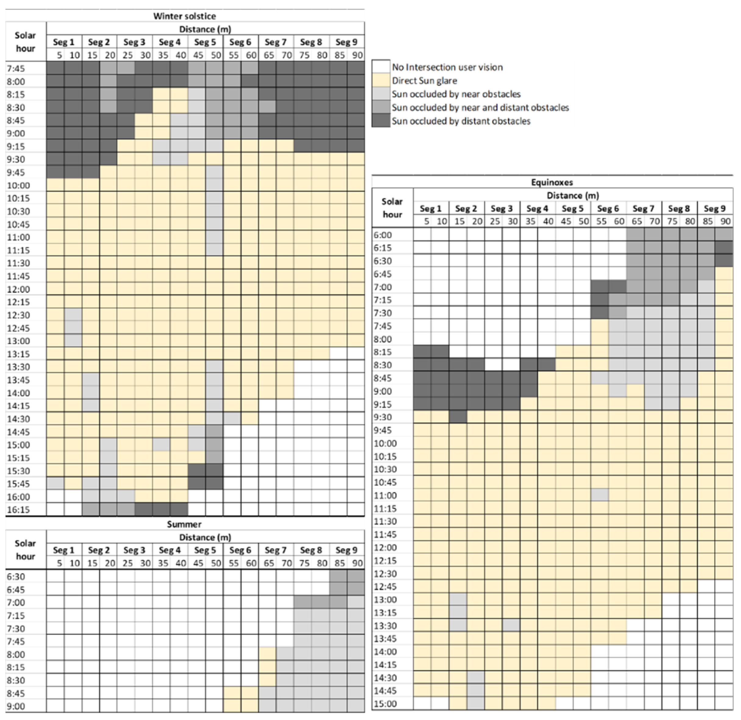
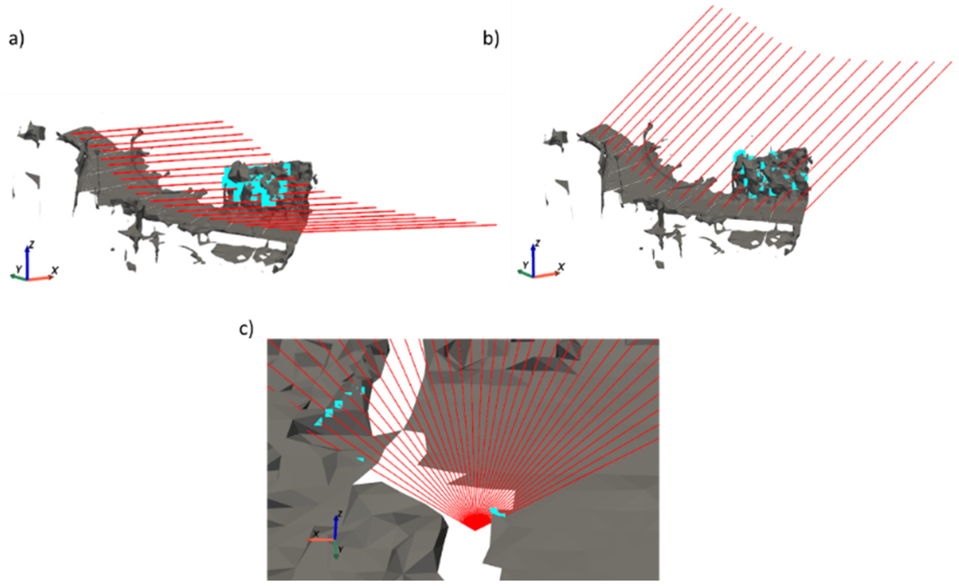
Sunlight conditions can reduce drivers’ visibility, which is a safety concern on road networks. This research introduces a method to study sun glare incidence in road environments. Sun glare areas during daylight hours are automatically detected from mobile laser scanning (MLS) and aerial laser scanning (ALS) point clouds. The method comprises the following steps. First, the Sun’s position (solar altitude and azimuth) referring to a location is calculated. Second, the incidence of sun glare with the user’s angle of vision is analyzed based on human vision. Third, sun ray intersections with near obstacles (vegetation, building, etc.) are calculated utilizing MLS point clouds. Finally, intersections with distant obstacles (mountains) are calculated utilizing ALS point clouds. MLS and ALS data are processed in order to combine both data types, remove outliers, and optimize computational time for intersection searches (point density reduction and Delaunay triangulation). The method was tested on two real case studies, covering roads with different bearings, slopes, and surroundings. The combination of MLS and ALS data, together with the solar geometry, identify areas of risk for the visibility of drivers. Consequently, the proposed method can be utilized to reduce sun glare, implementing warnings in navigation systems.
Keywords: visibility; solar incidence; road geometry; safety; shadow; road environment visibility; solar incidence; road geometry; safety; shadow; road environment
Graphical Abstract