Article

Spatial Validation of Spectral Unmixing Results: A Case Study of Venice City
by
Rosa Maria Cavalli
Research Institute for Geo-Hydrological Protection (IRPI), National Research Council (CNR), 06128 Perugia, Italy
Remote Sens. 2022, 14(20), 5165; https://doi.org/10.3390/rs14205165
Submission received: 8 September 2022 / Revised: 4 October 2022 / Accepted: 11 October 2022 / Published: 15 October 2022
(This article belongs to the Special Issue Optical Remote Sensing Applications in Urban Areas II)

Abstract

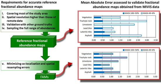
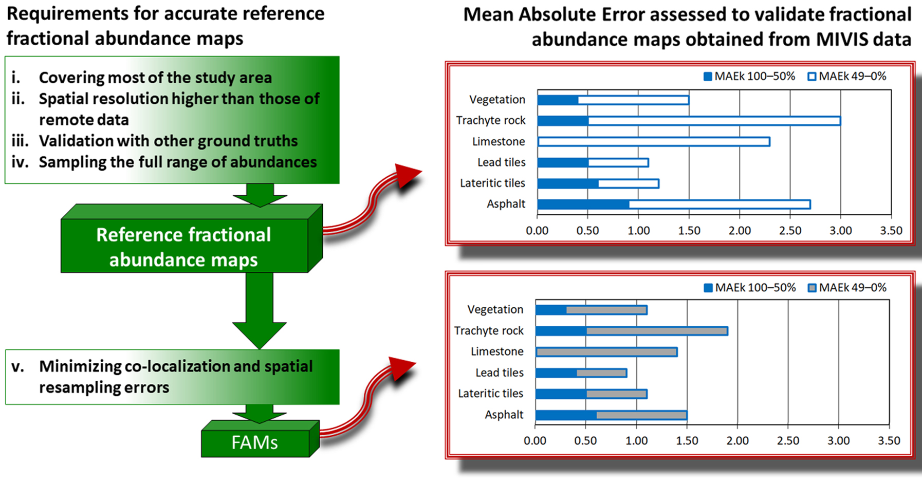
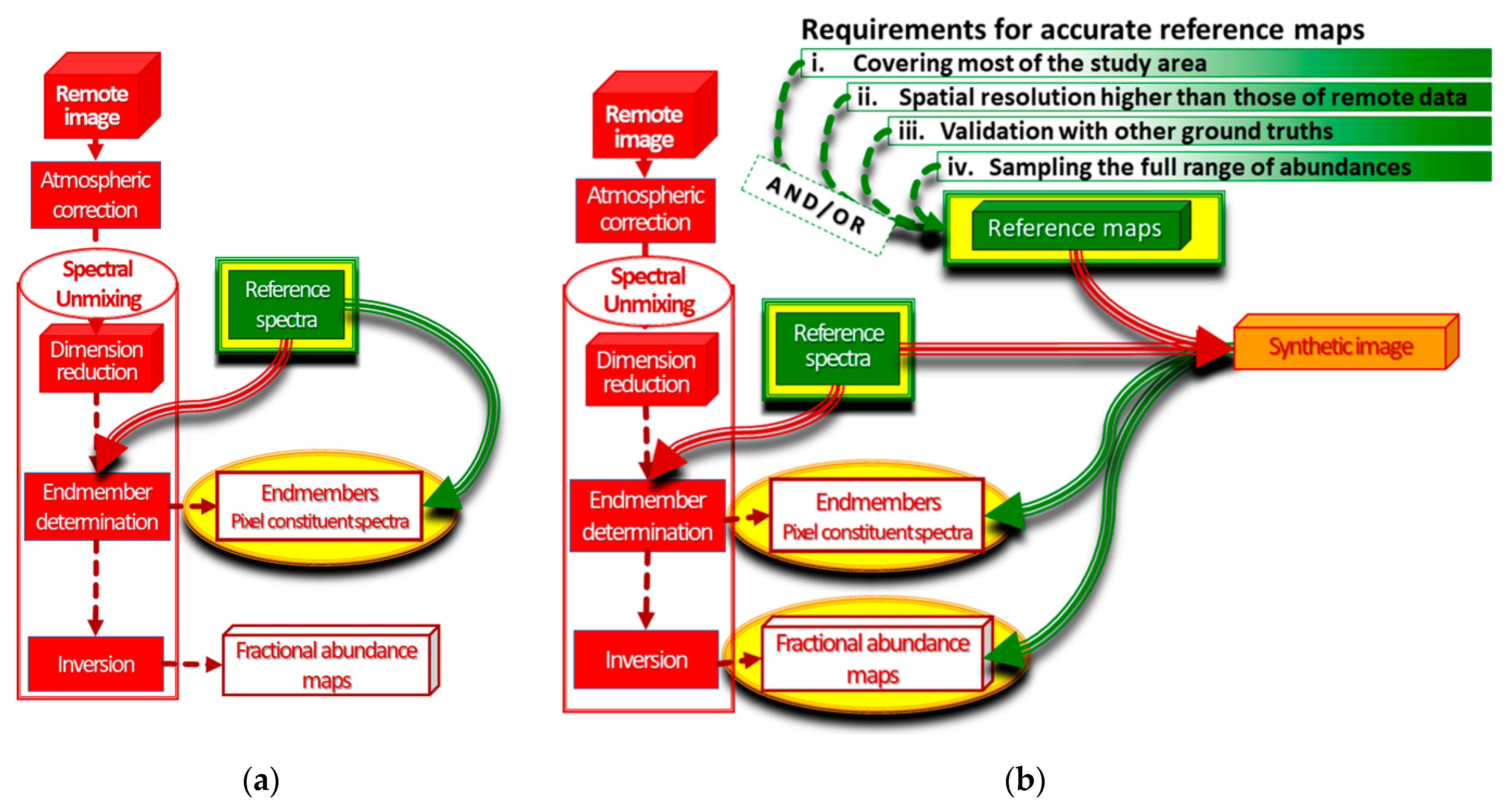
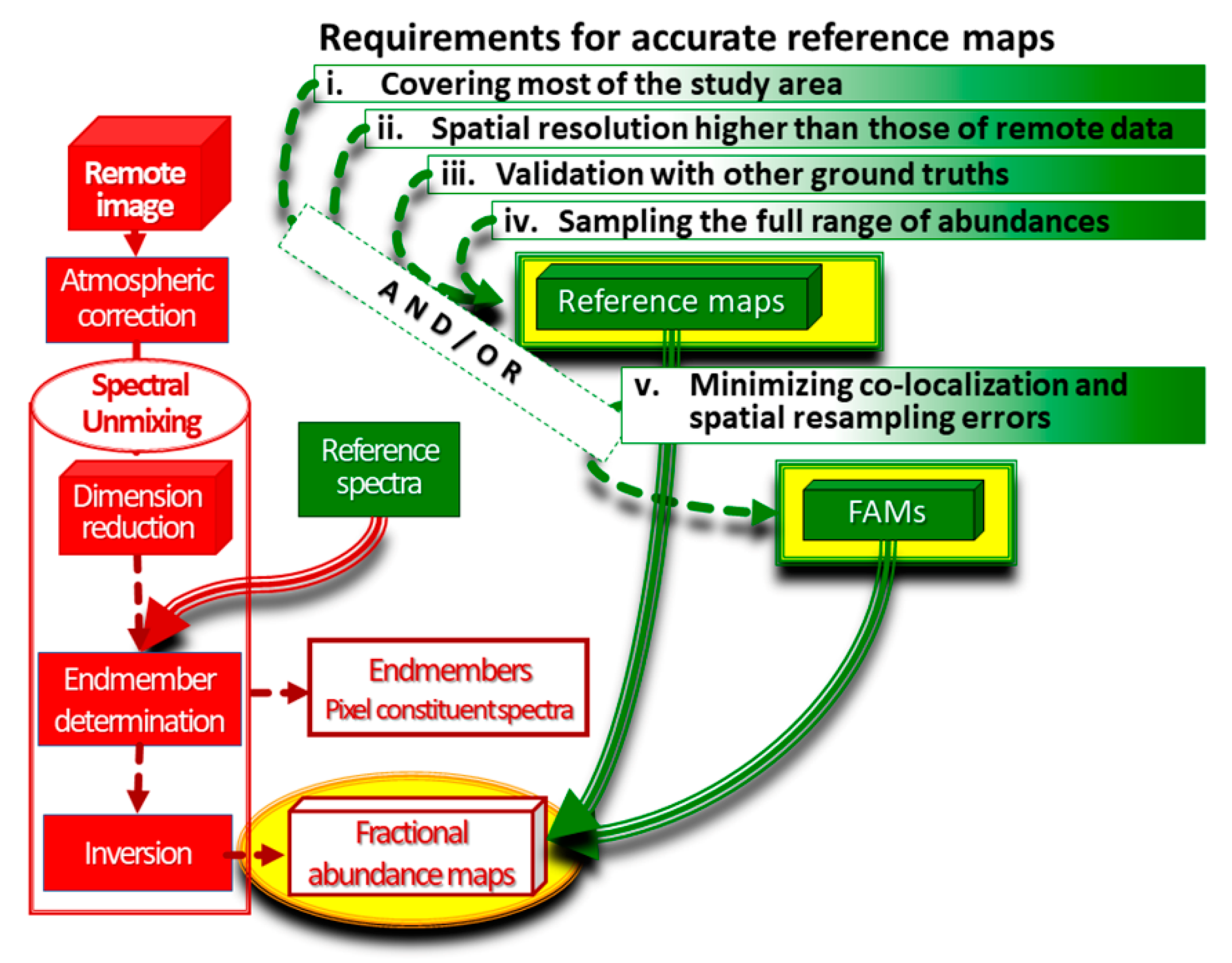
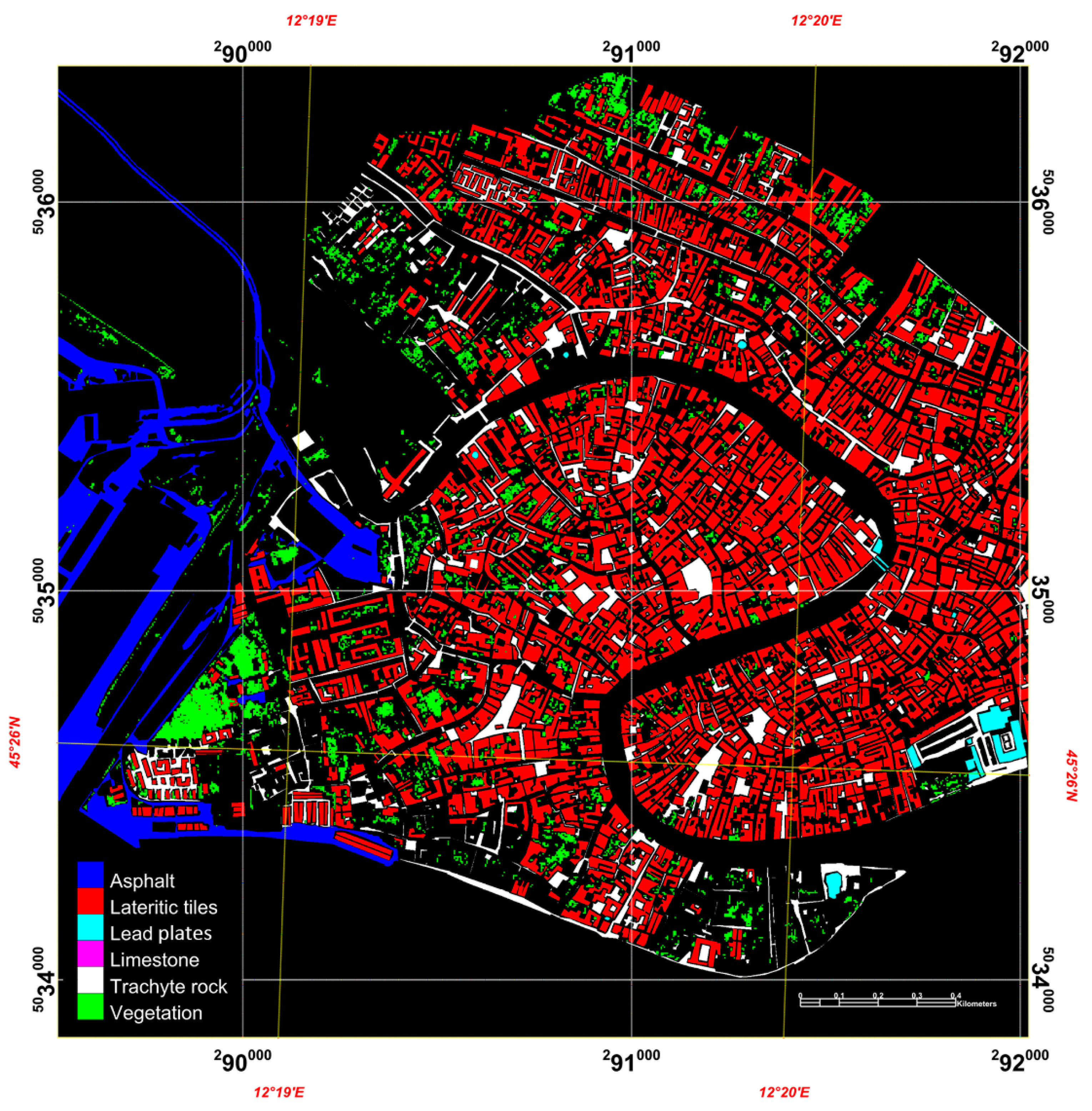
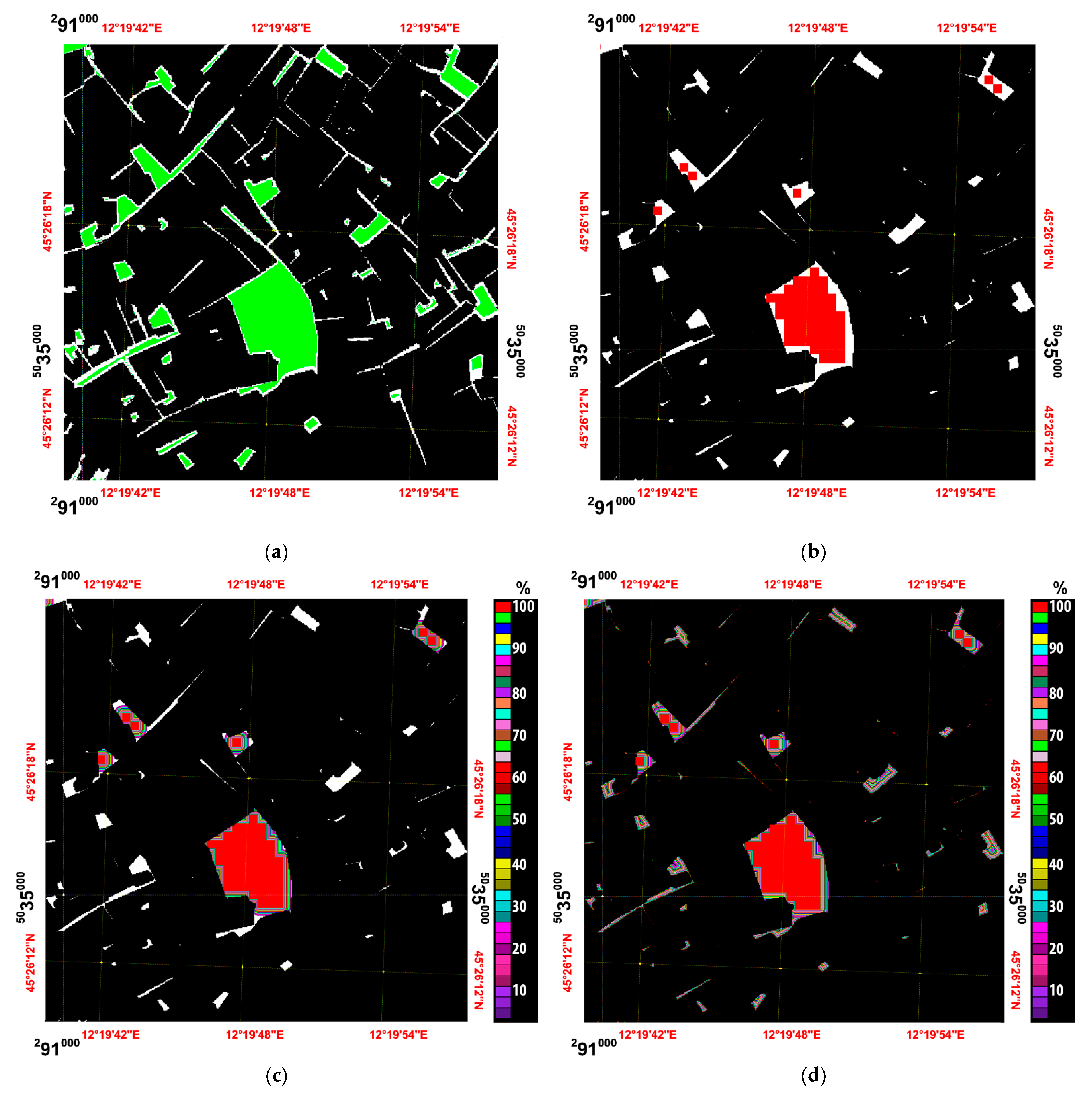
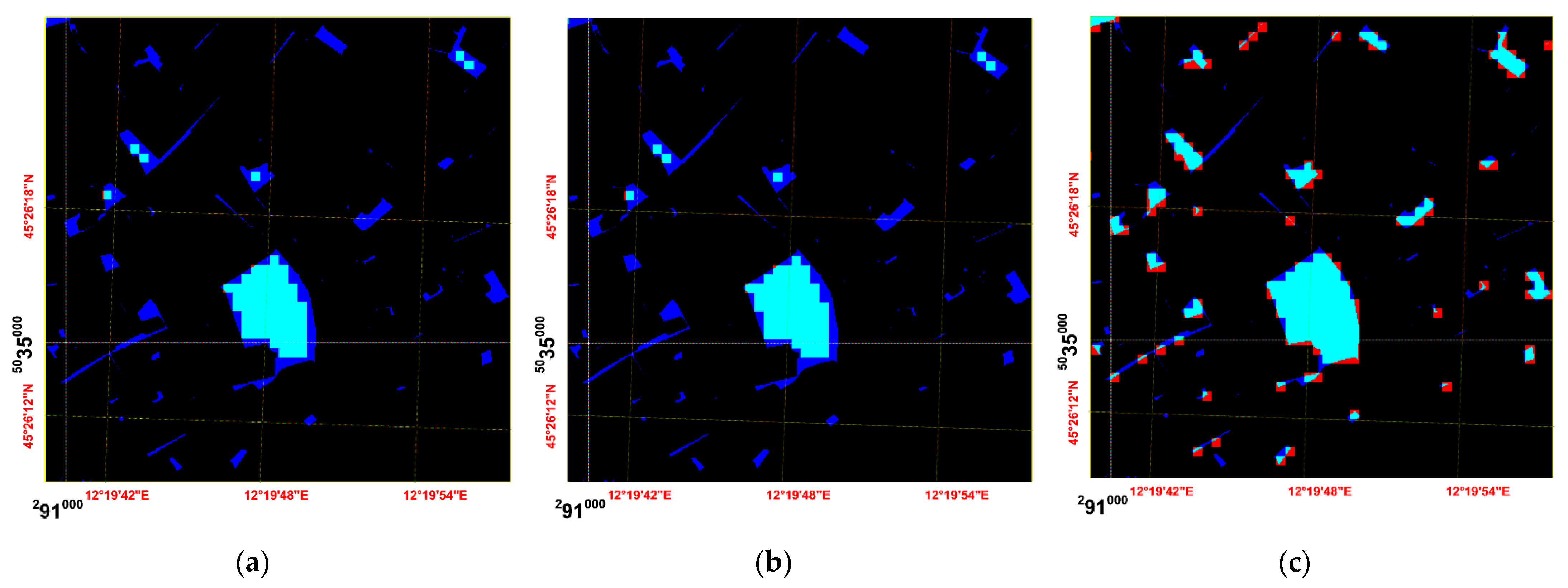
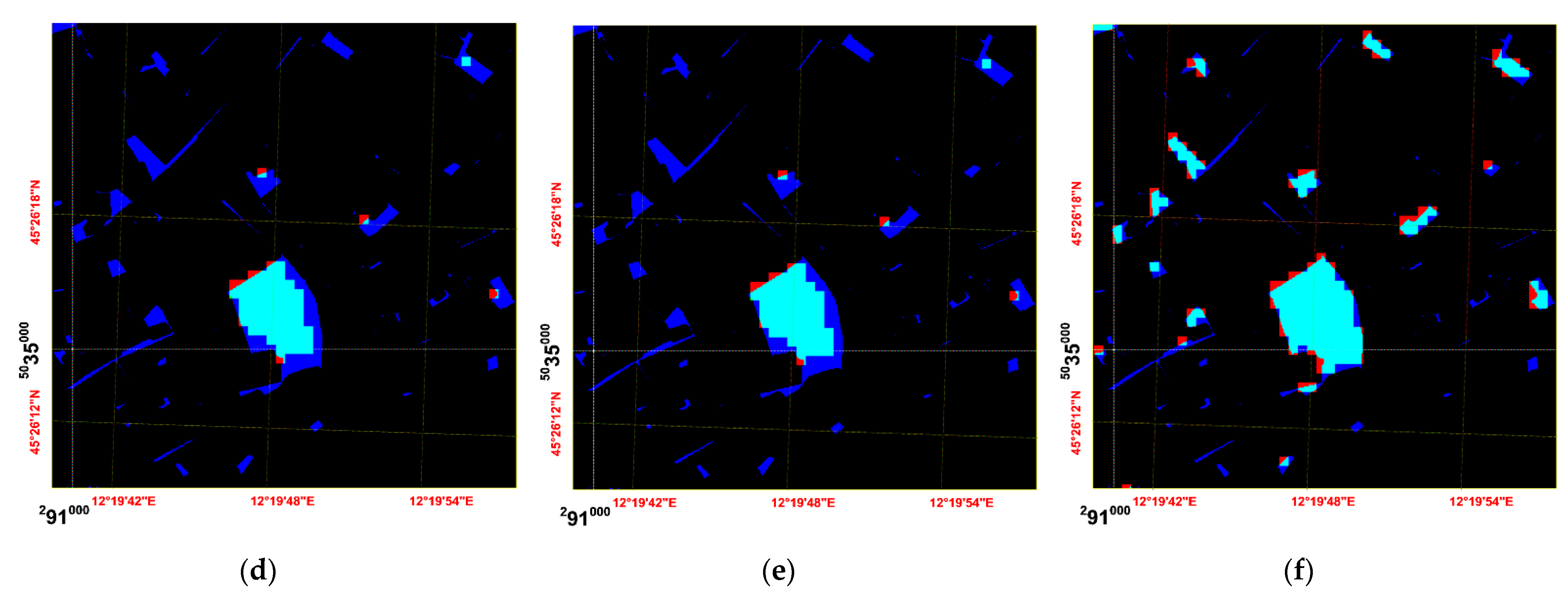
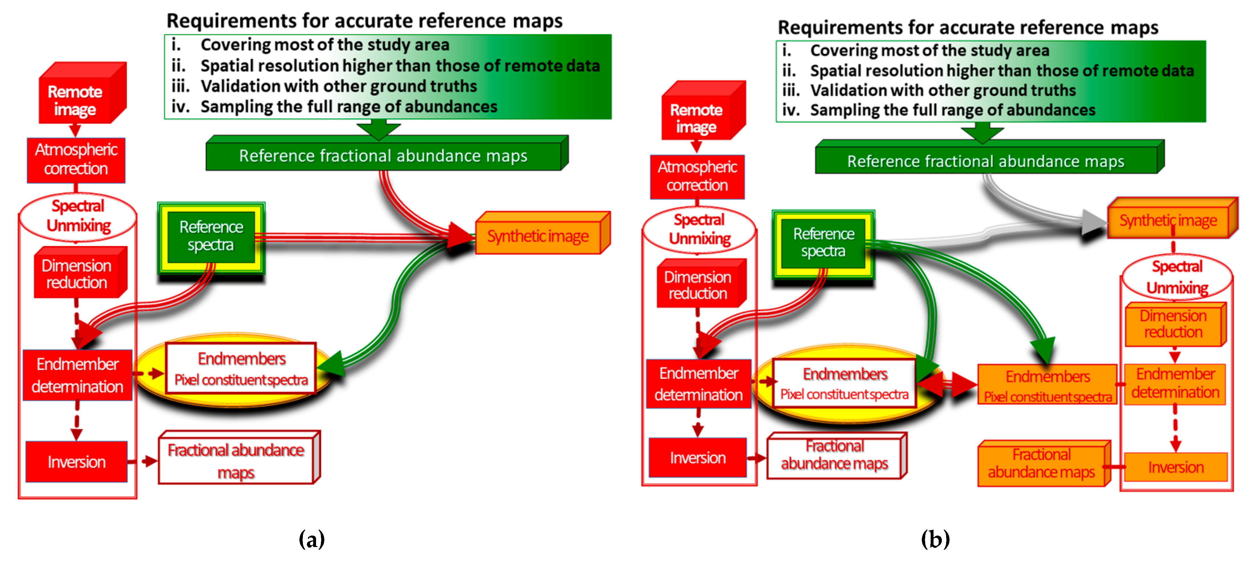
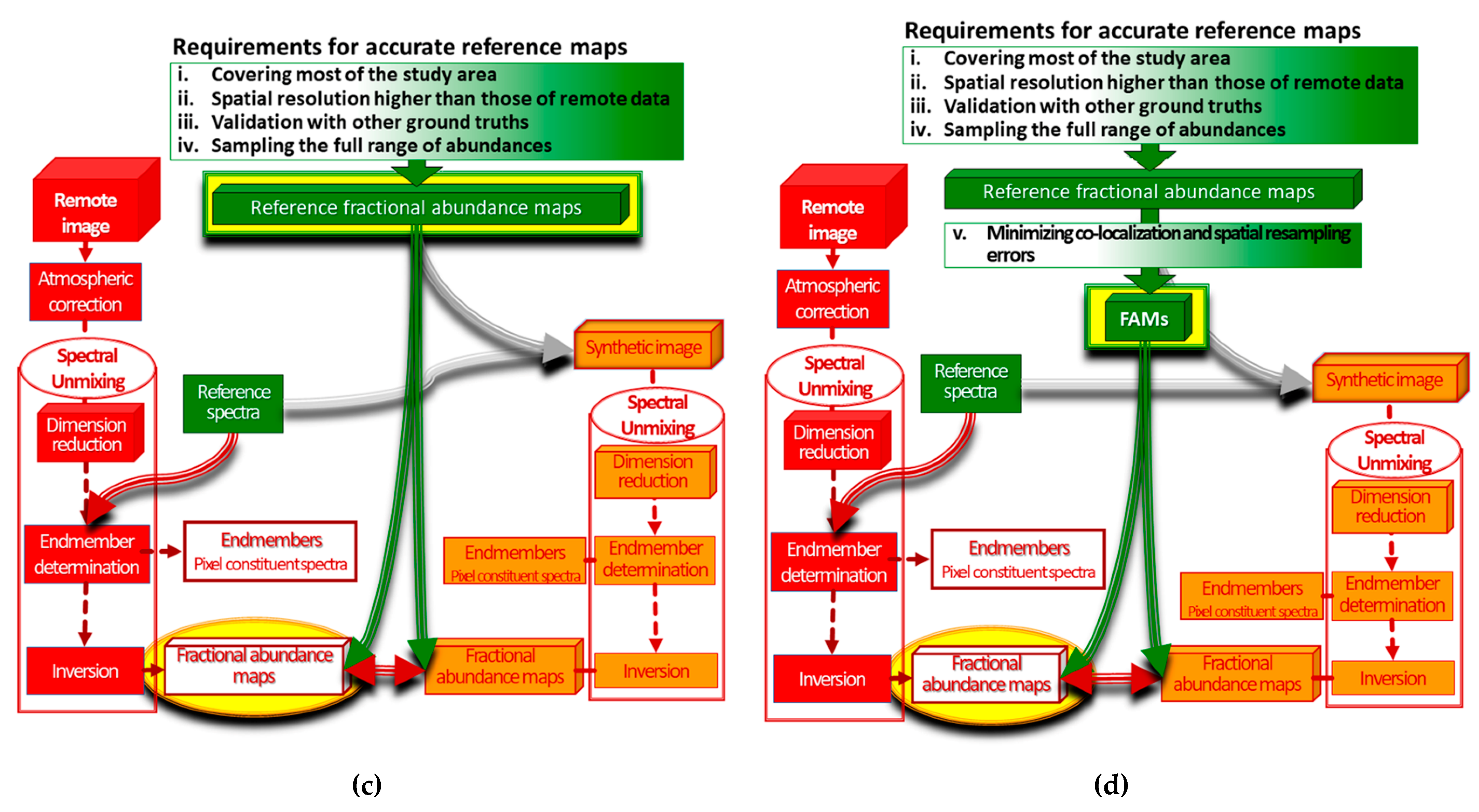
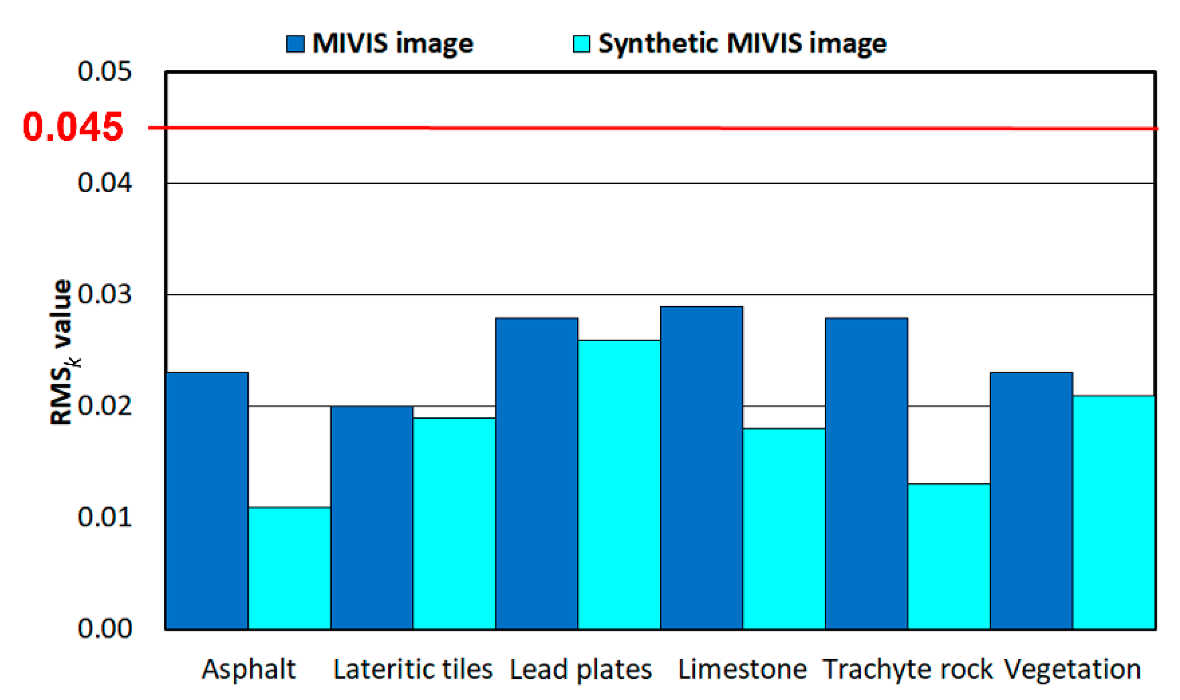
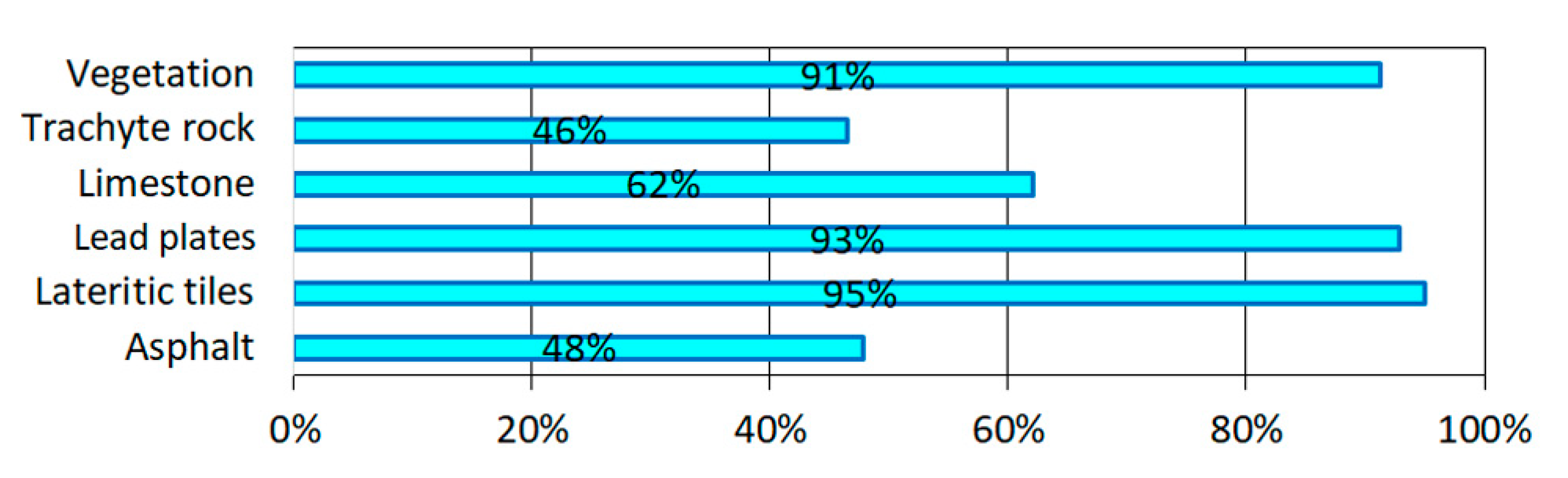
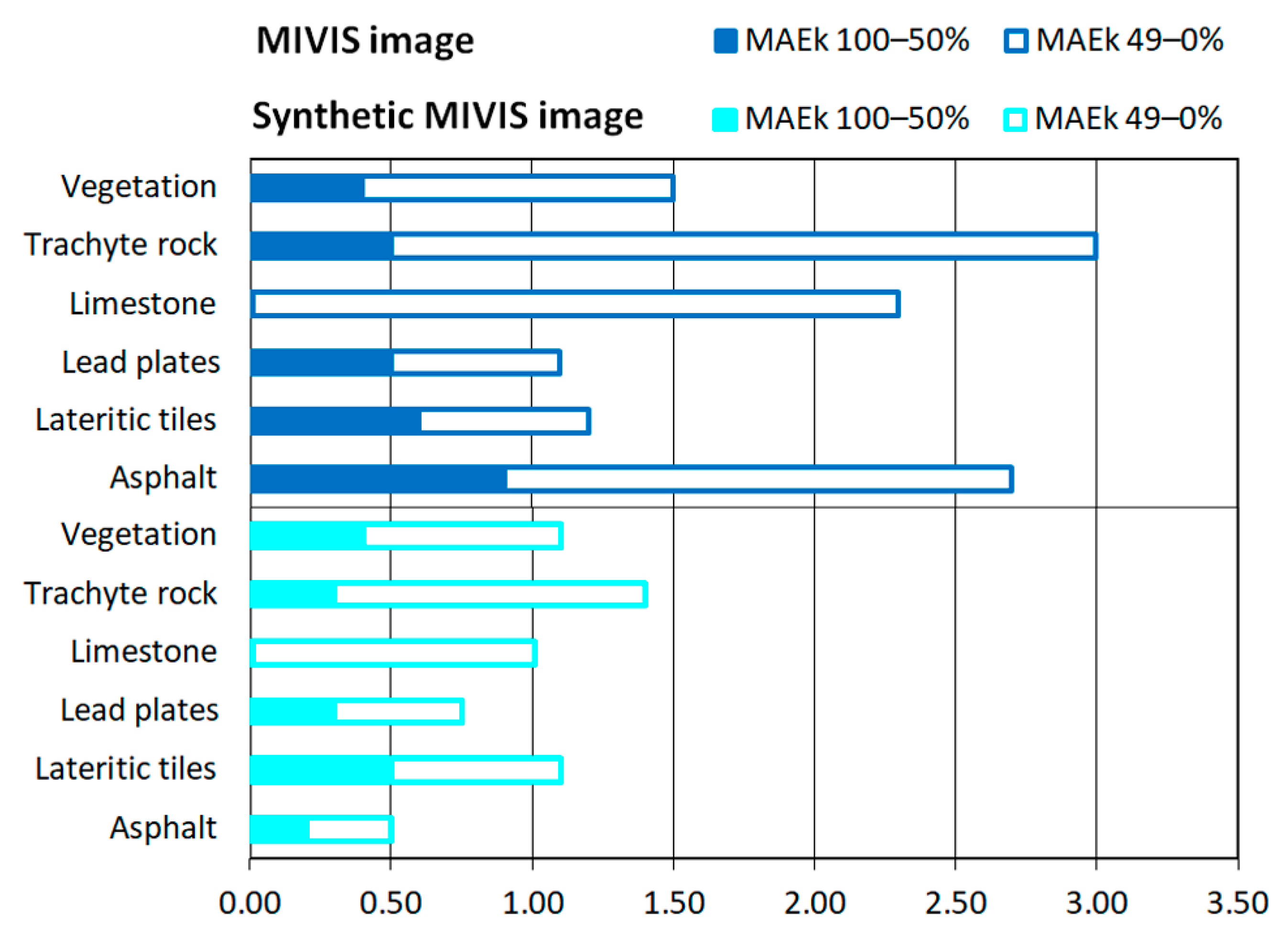
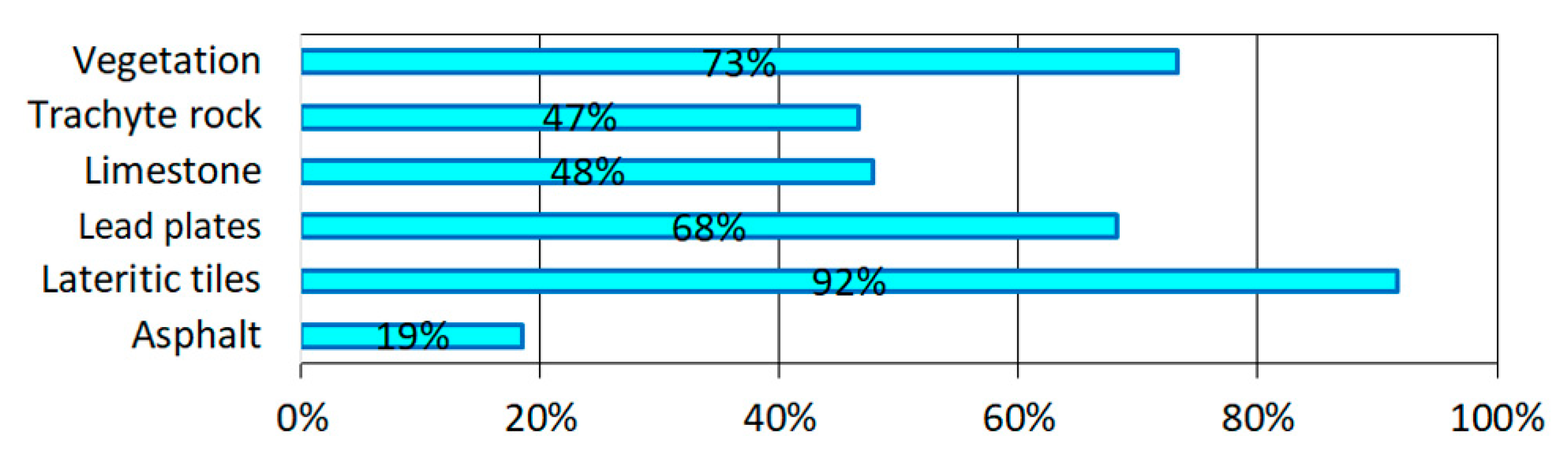
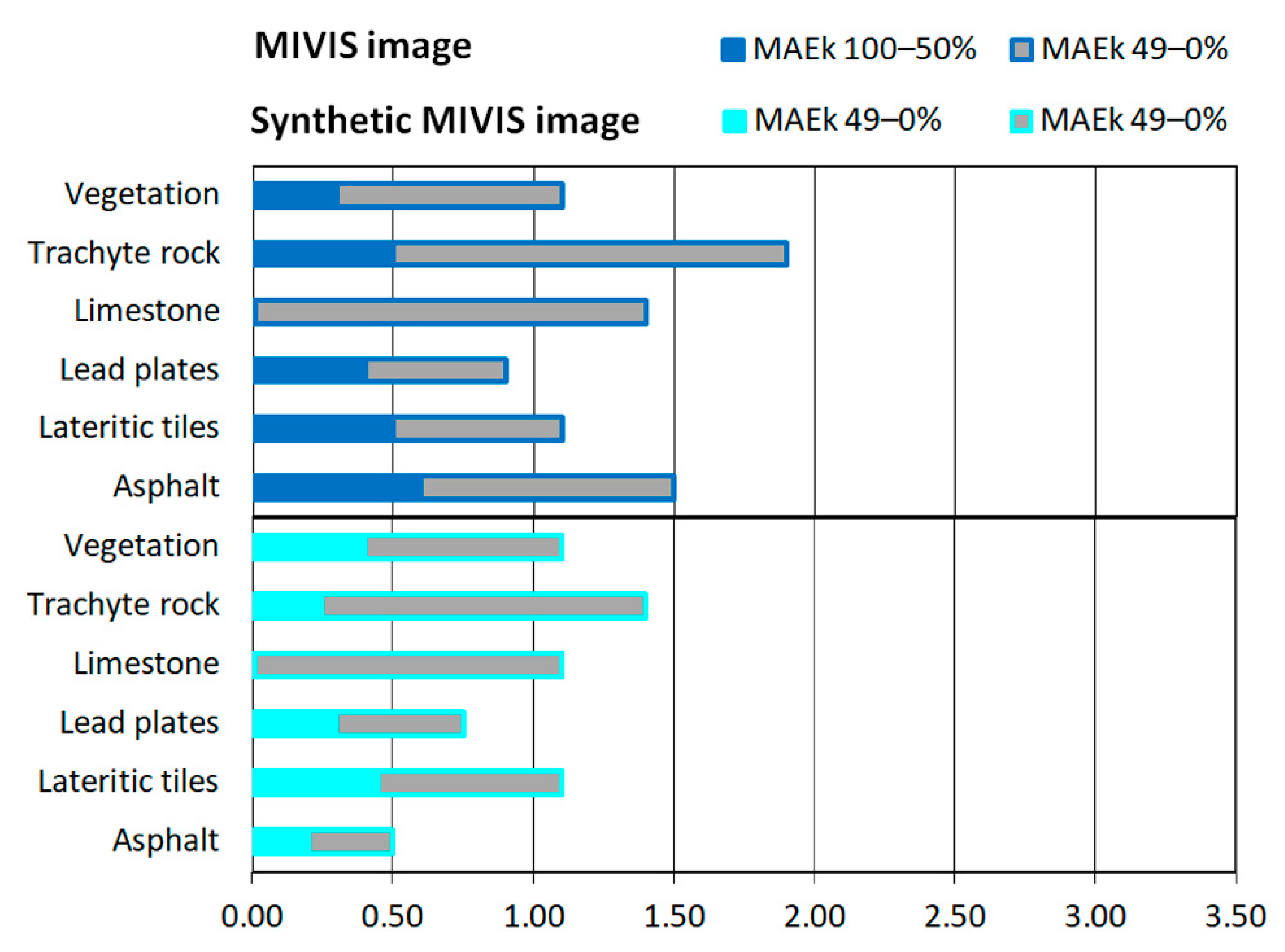
Since remote sensing images offer unique access to the distribution of land cover on earth, many countries are investing in this technique to monitor urban sprawl. For this purpose, the most widely used methodology is spectral unmixing which, after identifying the spectra of the mixed-pixel constituents, determines their fractional abundances in the pixel. However, the literature highlights shortcomings in spatial validation due to the lack of detailed ground truth knowledge and proposes five key requirements for accurate reference fractional abundance maps: they should cover most of the area, their spatial resolution should be higher than that of the results, they should be validated using other ground truth data, the full range of abundances should be validated, and errors in co-localization and spatial resampling should be minimized. However, most proposed reference maps met two or three requirements and none met all five. In situ and remote data acquired in Venice were exploited to meet all five requirements. Moreover, to obtain more information about the validation procedure, not only reference spectra, synthetic image, and fractional abundance models (FAMs) that met all the requirements, but also other data, that no previous work exploited, were employed: reference fractional abundance maps that met four out of five requirements, and fractional abundance maps retrieved from the synthetic image. Briefly summarizing the main results obtained from MIVIS data, the average of spectral accuracies in root mean square error was equal to 0.025; using FAMs, the average of spatial accuracies in mean absolute error (MAEk-Totals) was equal to 1.32 and more than 78% of these values were related to sensor characteristics; using reference fractional abundance maps, the average MAEk-Totals value increased to 1.97 because errors in co-localization and spatial-resampling affected about 29% of these values. In conclusion, meeting all requirements and the exploitation of different reference data increase the spatial accuracy, upgrade the validation procedure, and improve the knowledge of accuracy.
Keywords: spectral unmixing; linear mixture model; spatial and spectral accuracy; synthetic image; fractional abundance models; multiple endmember spectral mixture analysis (MESMA); urban sprawl spectral unmixing; linear mixture model; spatial and spectral accuracy; synthetic image; fractional abundance models; multiple endmember spectral mixture analysis (MESMA); urban sprawl
Graphical Abstract