Article

Characterizing the Distribution Pattern and a Physically Based Susceptibility Assessment of Shallow Landslides Triggered by the 2019 Heavy Rainfall Event in Longchuan County, Guangdong Province, China


1
Institute of Geology, China Earthquake Administration, Beijing 100029, China
2
Key Laboratory of Seismic and Volcanic Hazards, Institute of Geology, China Earthquake Administration, Beijing 100029, China
3
National Institute of Natural Hazards, Ministry of Emergency Management of China, Beijing 100085, China
4
Key Laboratory of Compound and Chained Natural Hazards Dynamics, Ministry of Emergency Management of China, Beijing 100085, China
*
Author to whom correspondence should be addressed.
Remote Sens. 2022, 14(17), 4257; https://doi.org/10.3390/rs14174257
Submission received: 29 July 2022 / Revised: 22 August 2022 / Accepted: 24 August 2022 / Published: 29 August 2022
(This article belongs to the Special Issue Remote Sensing for Natural Hazards Assessment and Control)

Abstract

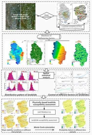
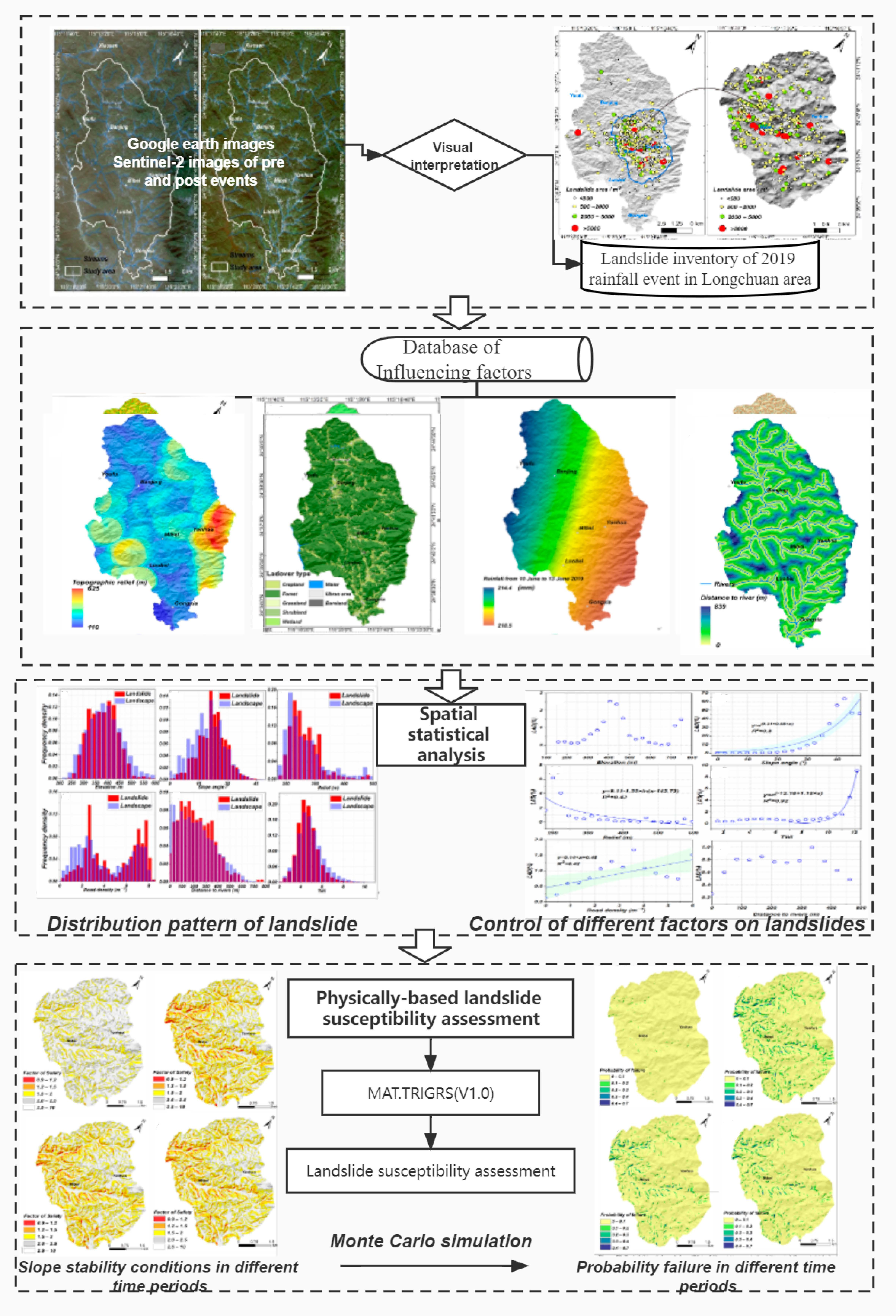
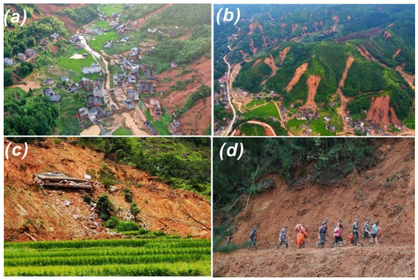
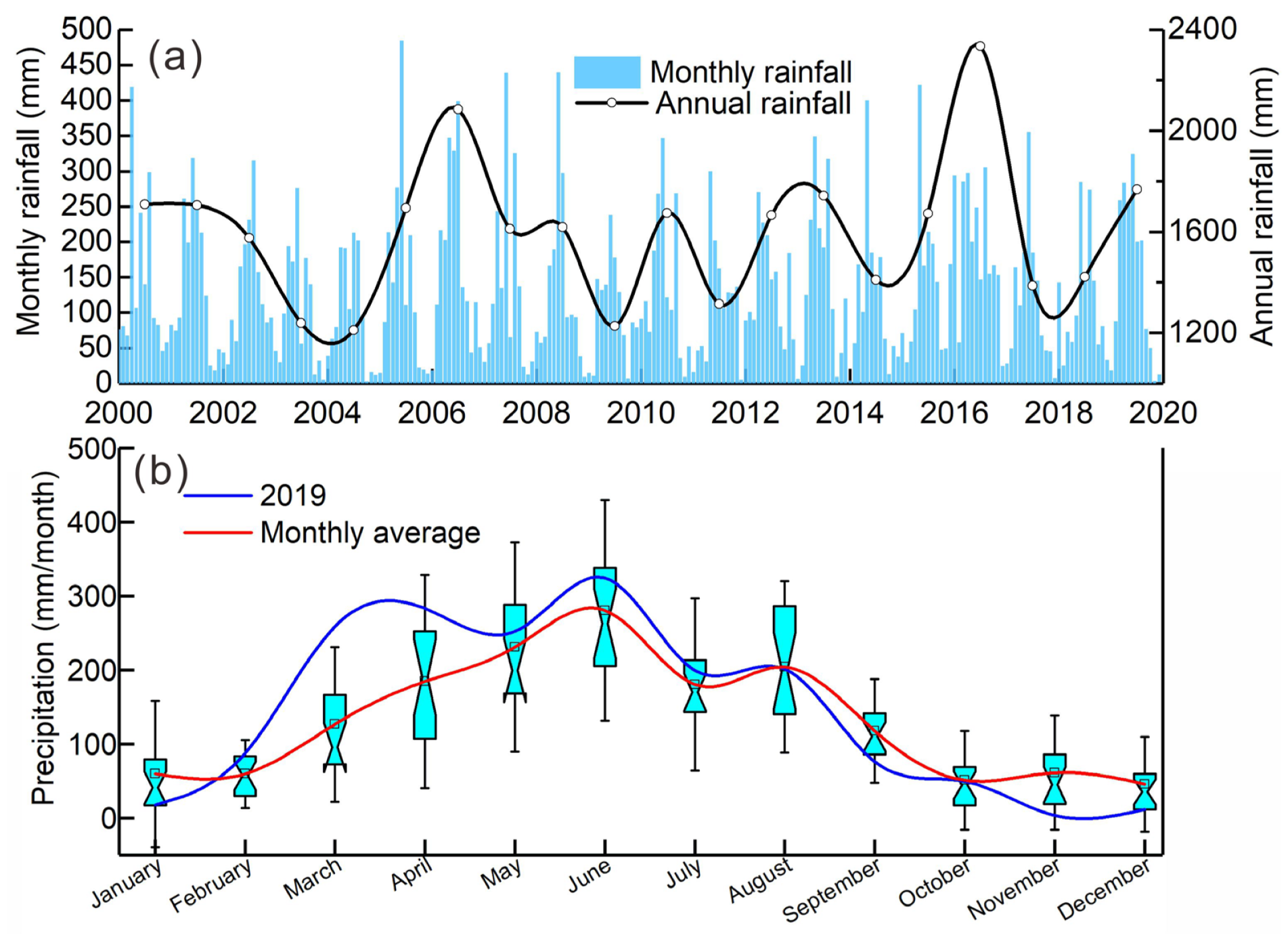
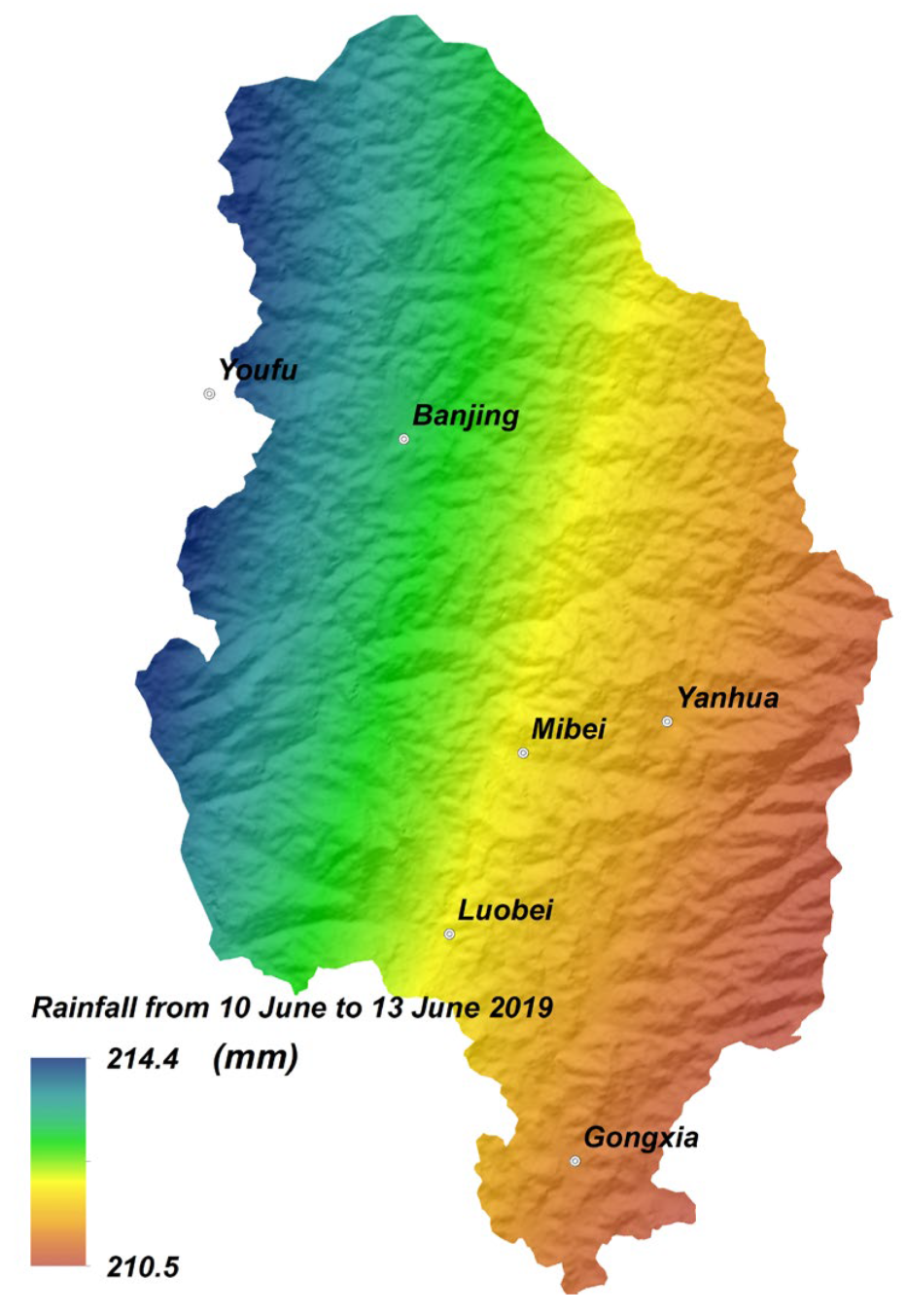
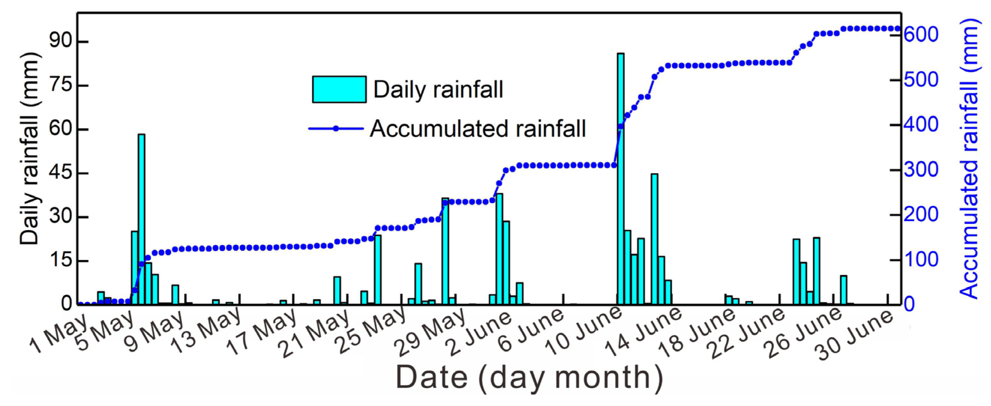
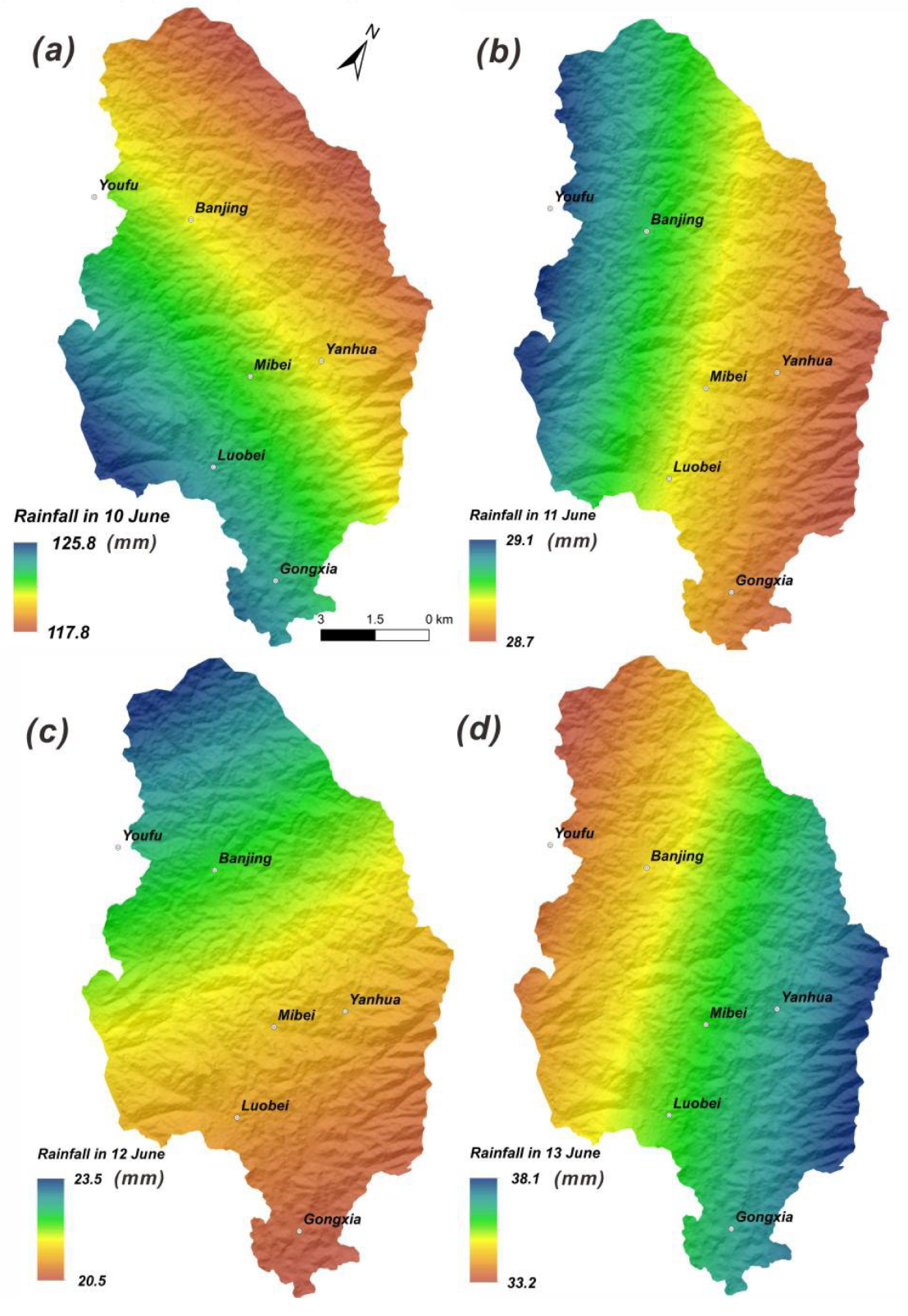
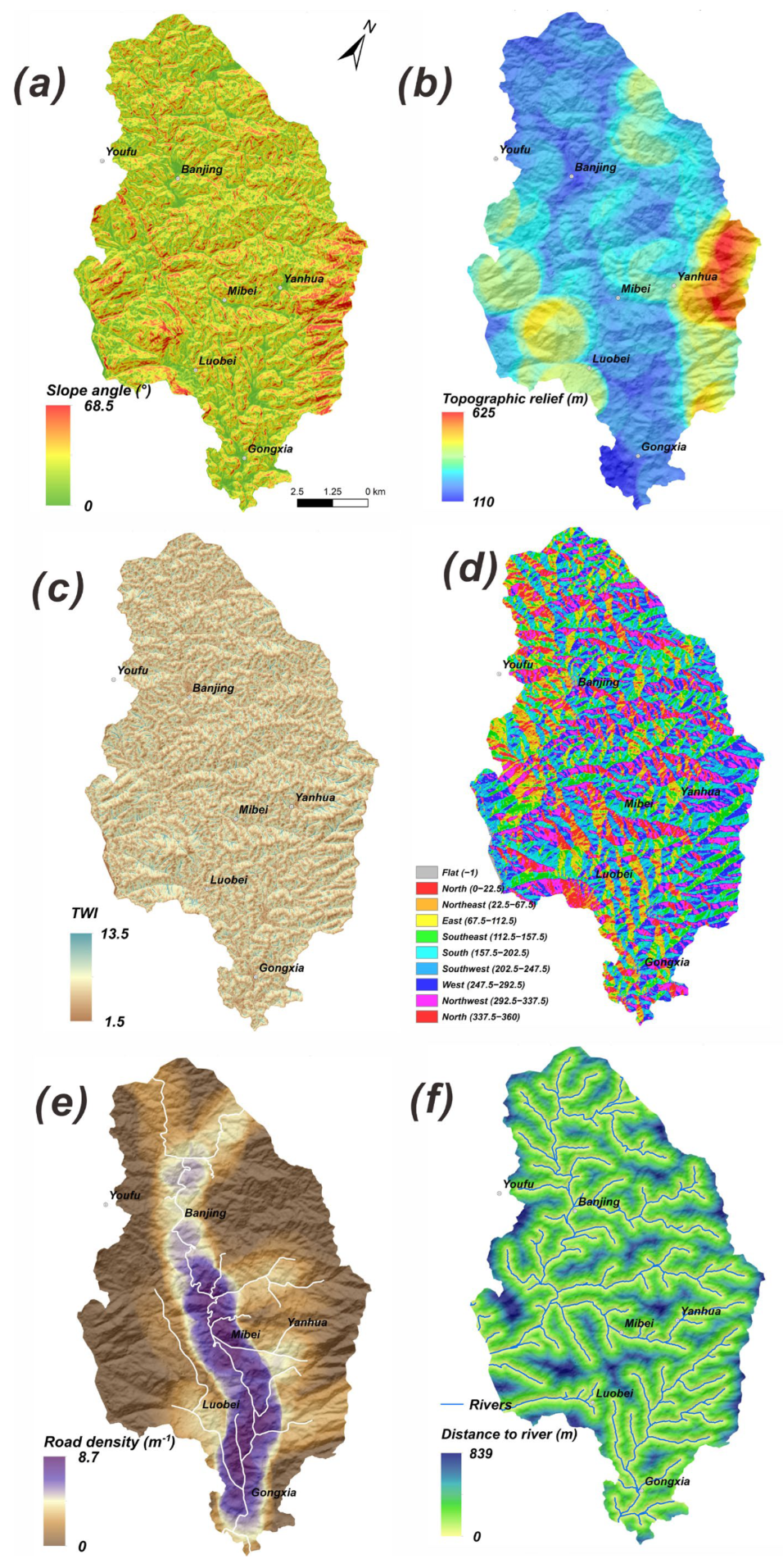
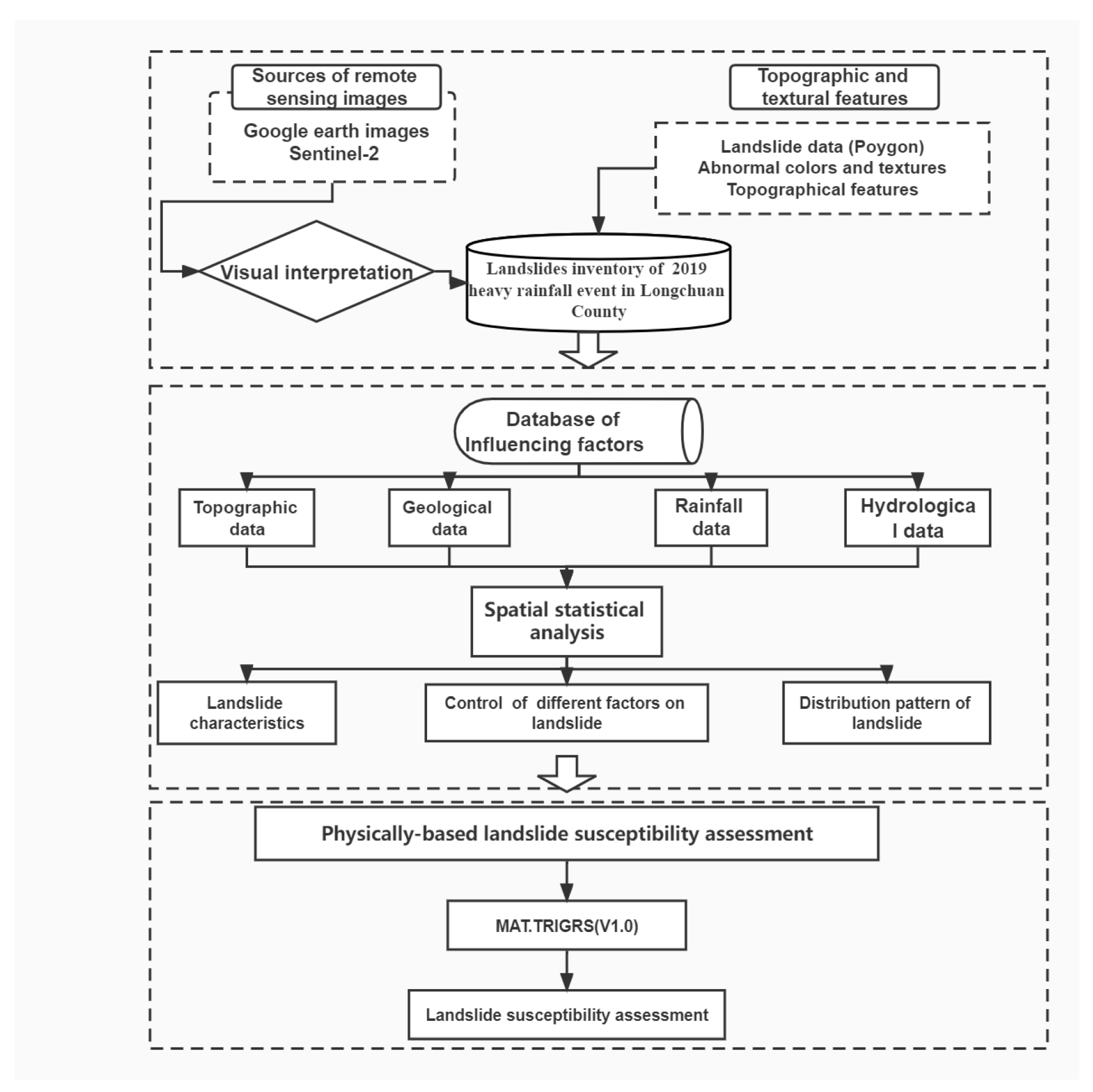
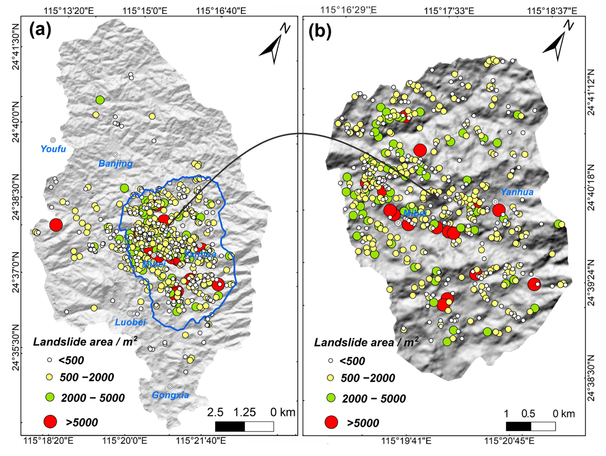
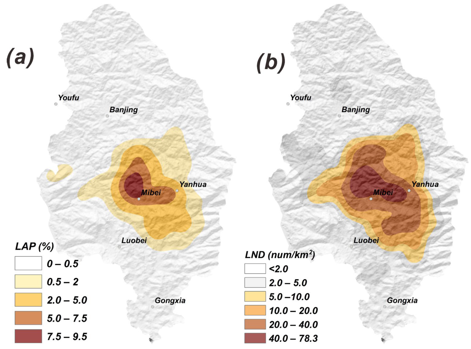
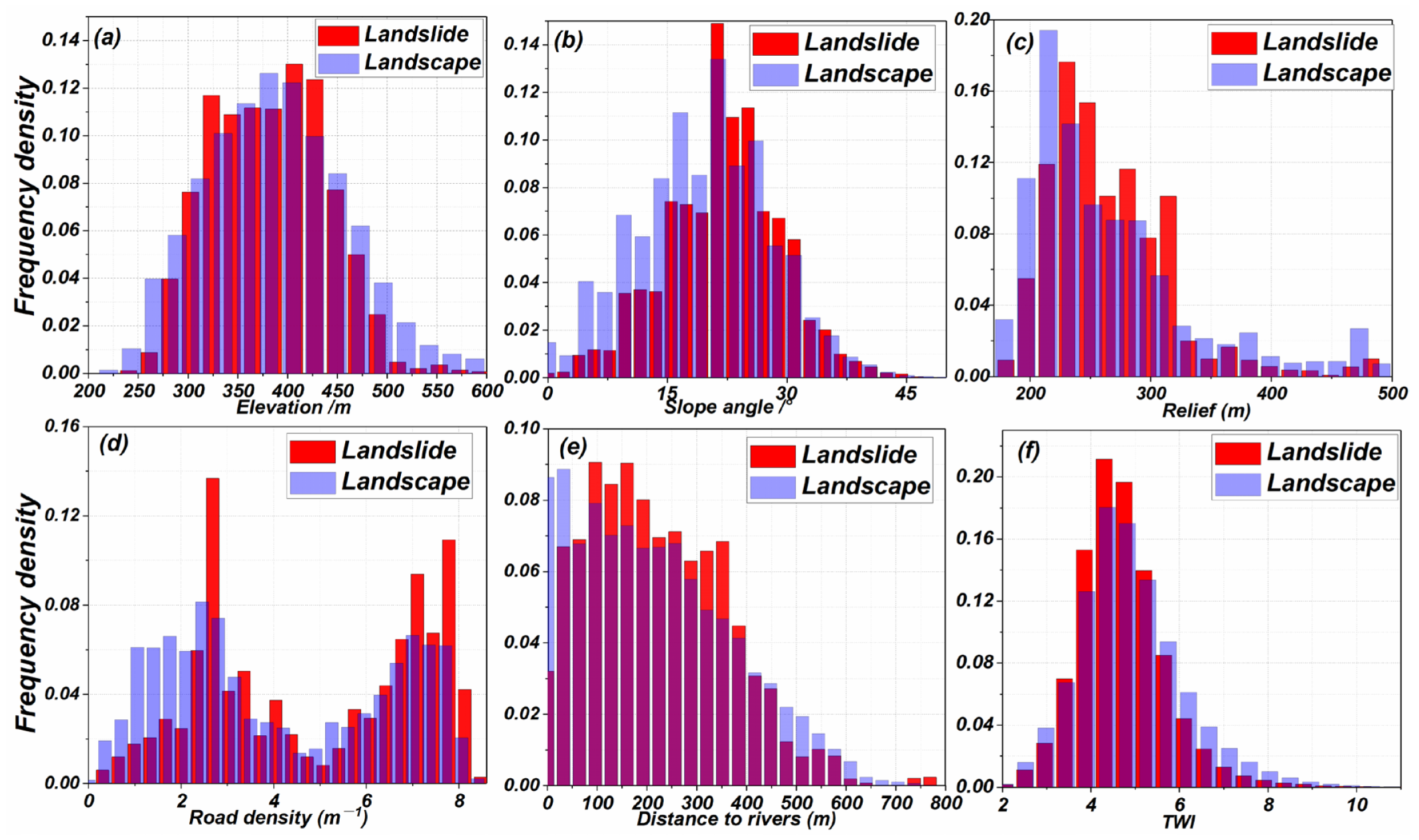
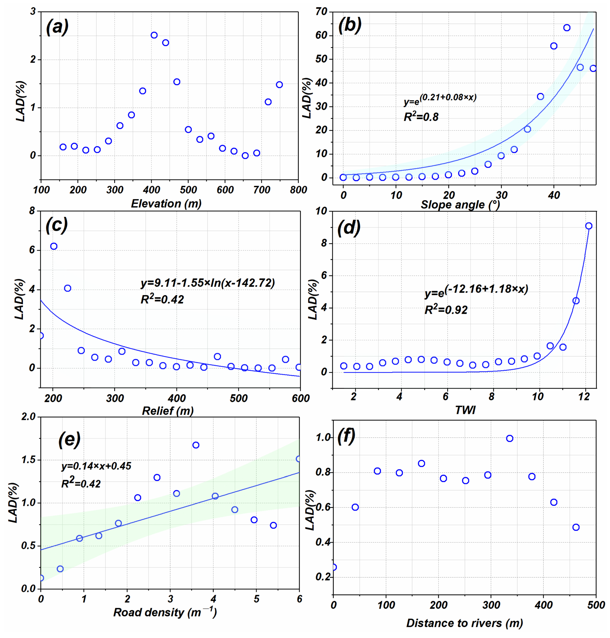
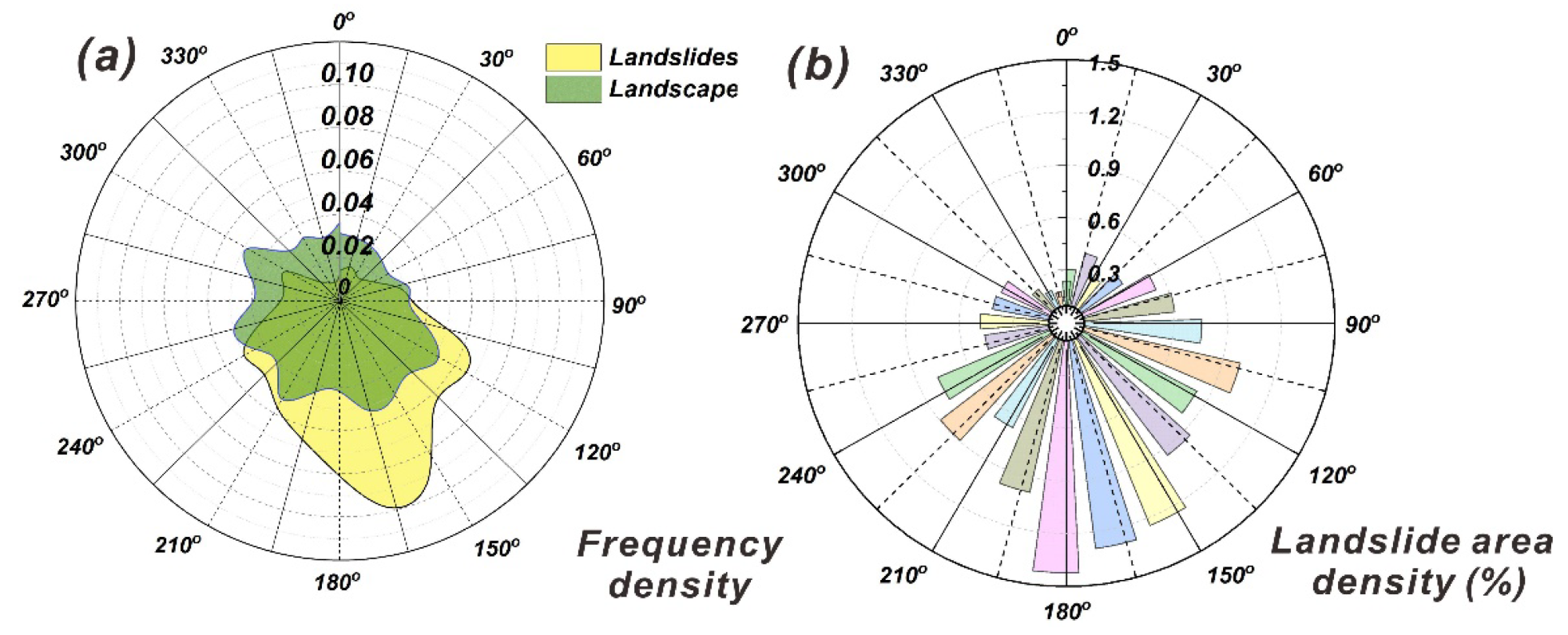
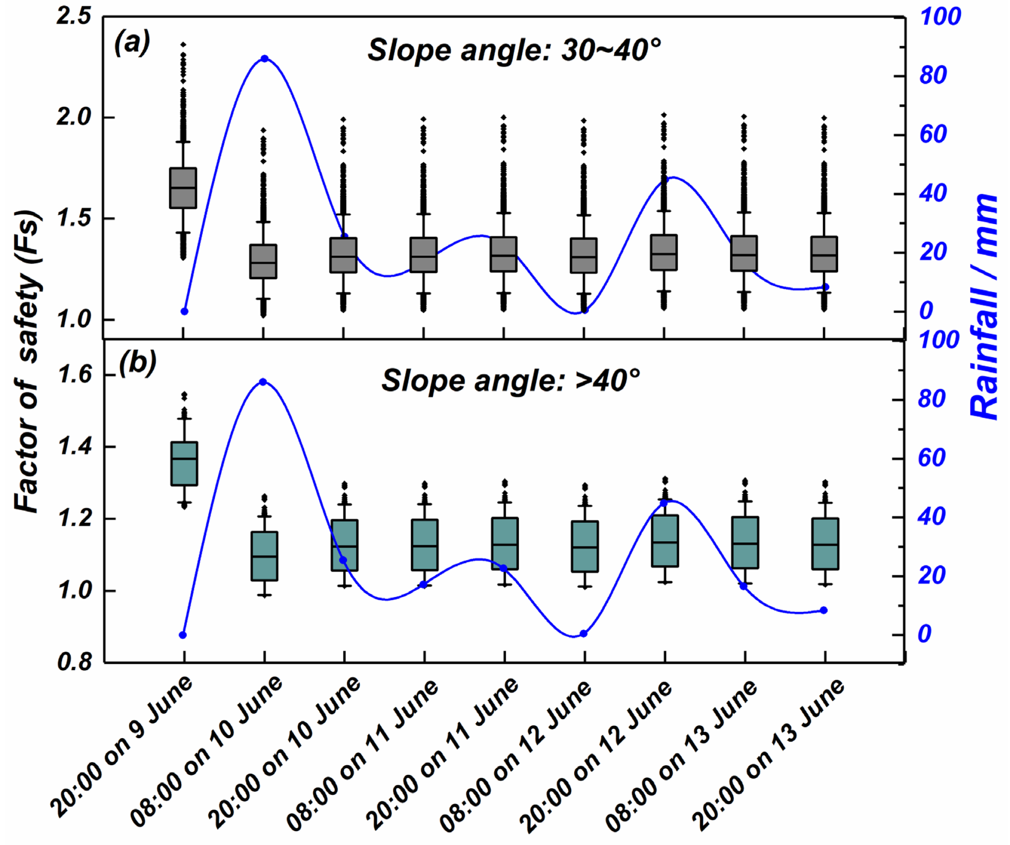
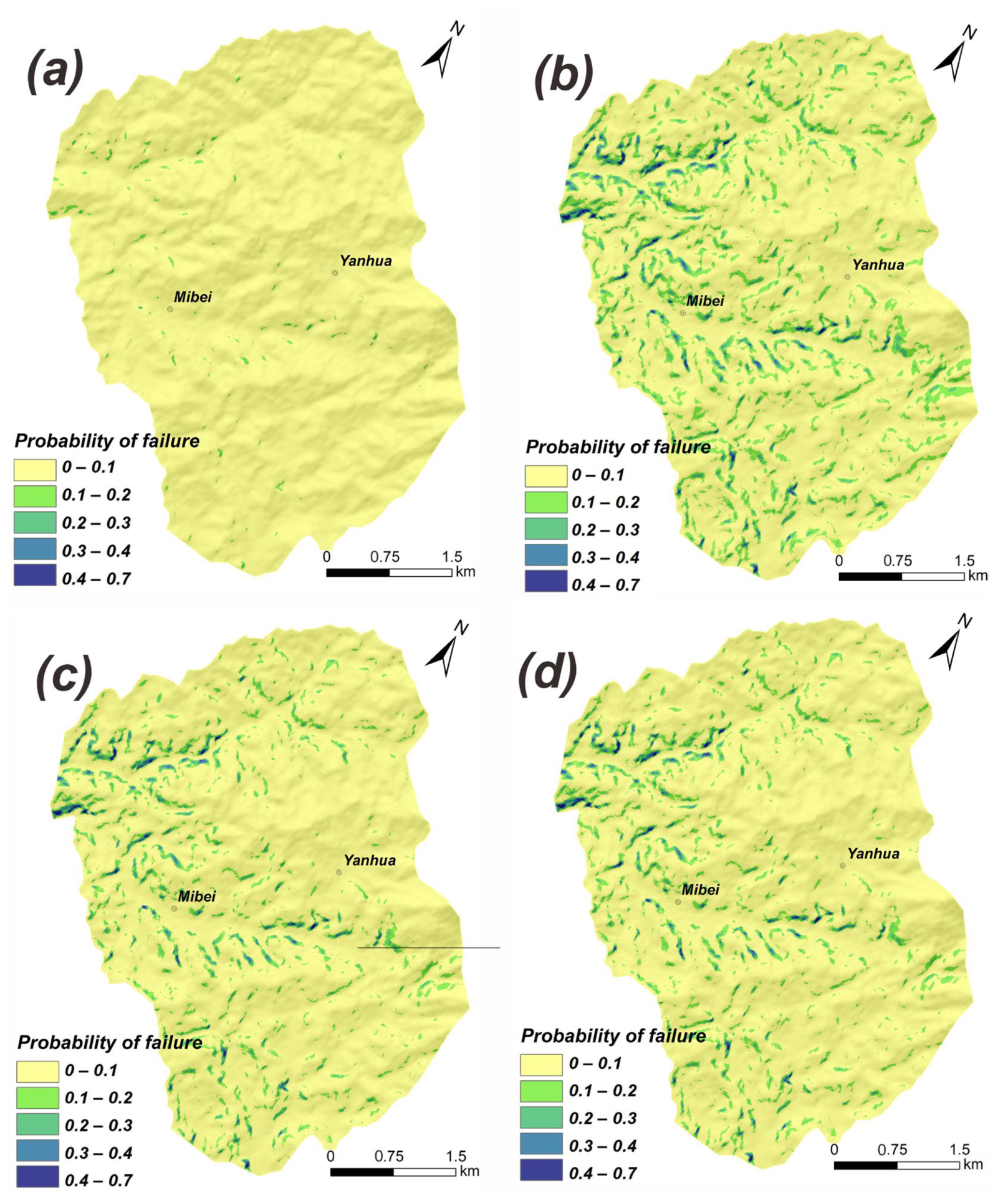
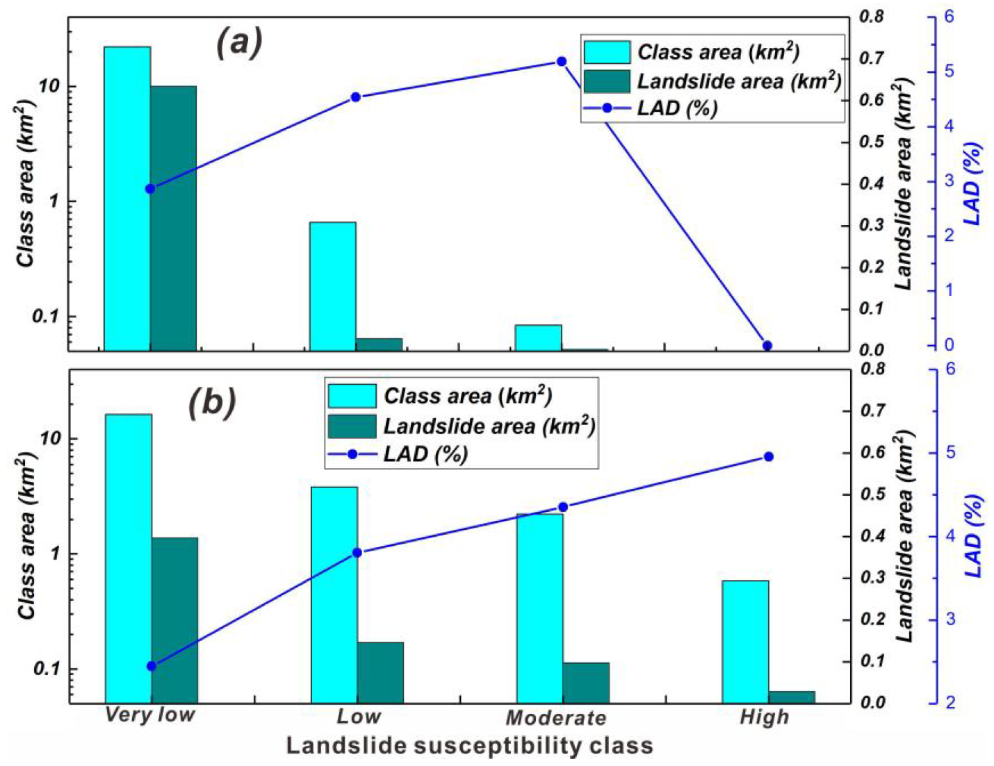
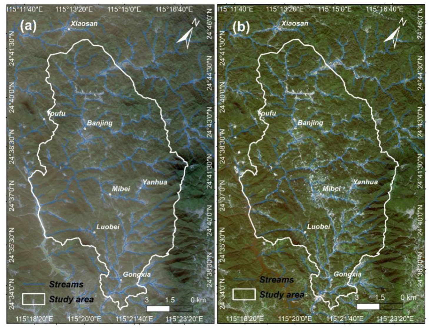
Rainfall-induced landslides pose a significant threat to the lives and property of residents in the southeast mountainous and hilly area; hence, characterizing the distribution pattern and effective susceptibility mapping for rainfall-induced landslides are regarded as important and necessary measures to remediate the damage and loss resulting from landslides. From 10 June 2019 to 13 June 2019, continuous heavy rainfall occurred in Longchuan County, Guangdong Province; this event triggered extensive landslide disasters in the villages of Longchuan County. Based on high-resolution satellite images, a landslide inventory of the affected area was compiled, comprising a total of 667 rainfall-induced landslides over an area of 108 km2. These landslides consisted of a large number of shallow landslides with a few flowslides, rockfalls, and debris flows, and the majority of them occurred in Mibei and Yanhua villages. The inventory was used to analyze the distribution pattern of the landslides and their relationship with topographical, geological, and hydrological factors. The results showed that landslide abundance was closely related to slope angle, TWI, and road density. The landslide area density (LAD) increased with the increase in the above three influencing factors and was described by an exponential or linear relationship. In addition, southeast and south aspect hillslopes were more prone to collapse than the northwest­–north aspect ones because of the influence of the summer southeast monsoon. A new open-source tool named MAT.TRIGRS(V1.0) was adopted to establish the landslide susceptibility map in landslide abundance areas and to back-analyze the response of the rainfall process to the change in landslide stability. The prediction results were roughly consistent with the actual landslide distribution, and most areas with high susceptibility were located on both sides of the river valley; that is, the areas with relatively steep slopes. The slope stability changes in different periods revealed that the onset of heavy rain on 10 June 2019 was the main triggering factor of these group‑occurring landslides, and the subsequent rainfall with low intensity had little impact on slope stability.
Keywords: heavy rainfall; shallow landslides; TRIGRS model; spatial distribution; susceptibility assessment; Longchuan County; Guangdong Province heavy rainfall; shallow landslides; TRIGRS model; spatial distribution; susceptibility assessment; Longchuan County; Guangdong Province
Graphical Abstract