Article

Modelling Dynamic Hydrological Connectivity in the Zoigê Area (China) Based on Multi-Temporal Surface Water Observation
1
Shaanxi Key Laboratory of Earth Surface System and Environmental Carrying Capacity, Northwest University, Xi’an 710127, China
2
College of Natural Resources and Environment, Northwest A&F University, Xianyang 712100, China
3
Institute of Earth Surface System and Hazards, Northwest University, Xi’an 710127, China
4
College of Urban and Environmental Sciences, Northwest University, Xi’an 710127, China
5
College of Earth and Environmental Sciences, Lanzhou University, Lanzhou 730000, China
*
Author to whom correspondence should be addressed.
Remote Sens. 2022, 14(1), 145; https://doi.org/10.3390/rs14010145
Submission received: 19 November 2021 / Revised: 21 December 2021 / Accepted: 27 December 2021 / Published: 29 December 2021
(This article belongs to the Special Issue Remote Sensing for Climate Extremes and Water Resources)

Abstract

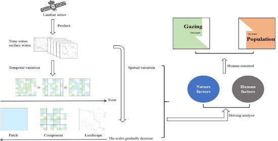
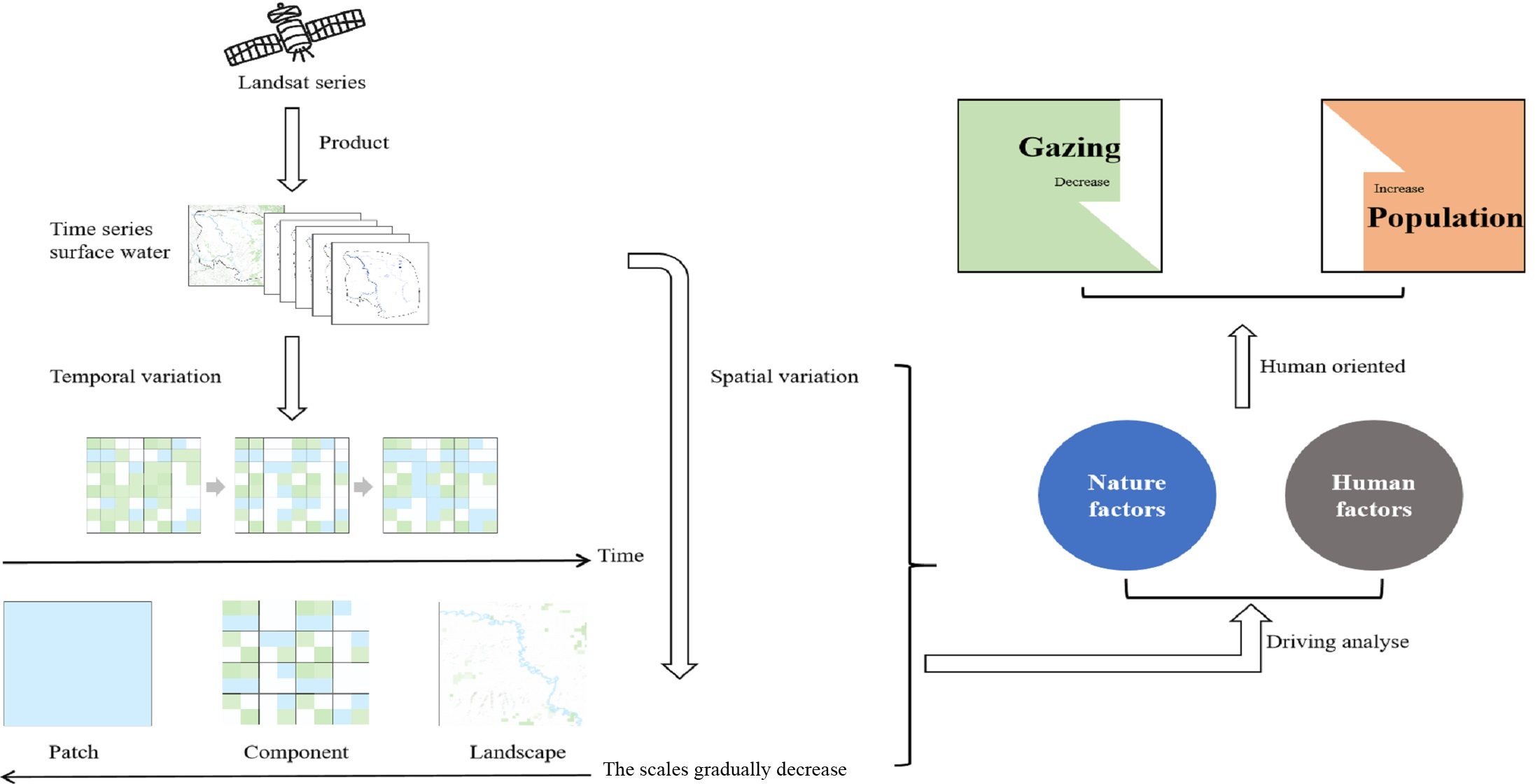
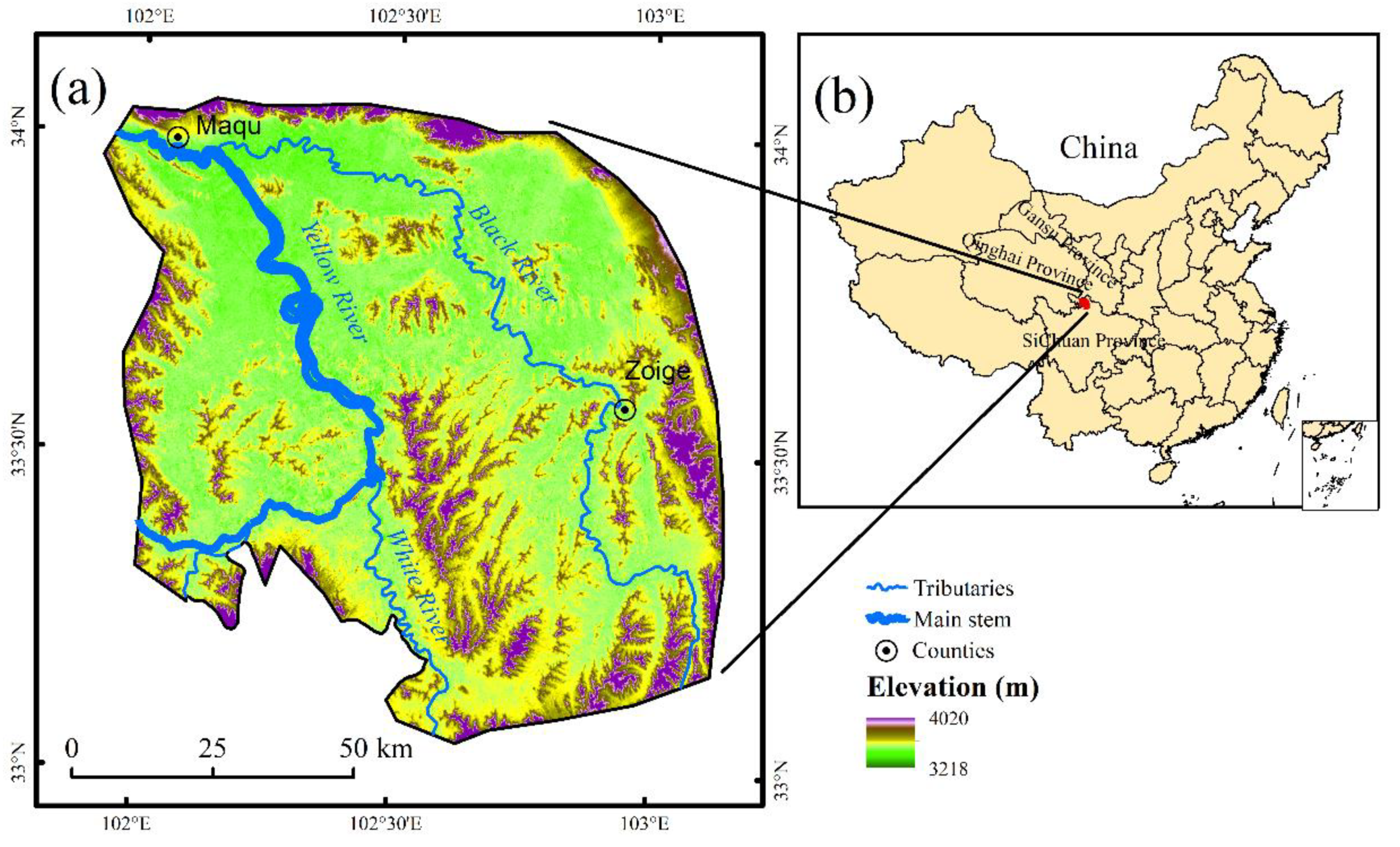
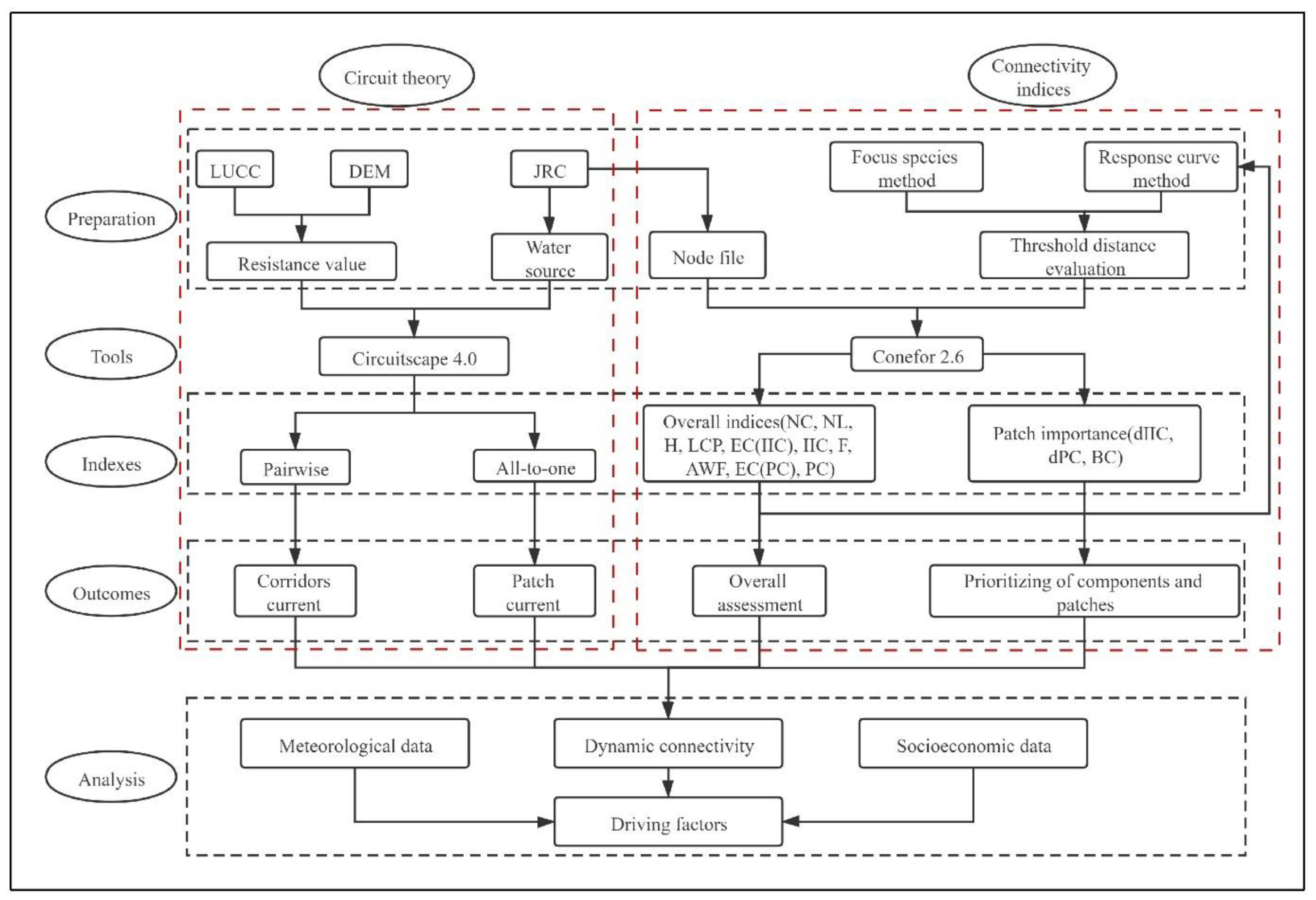
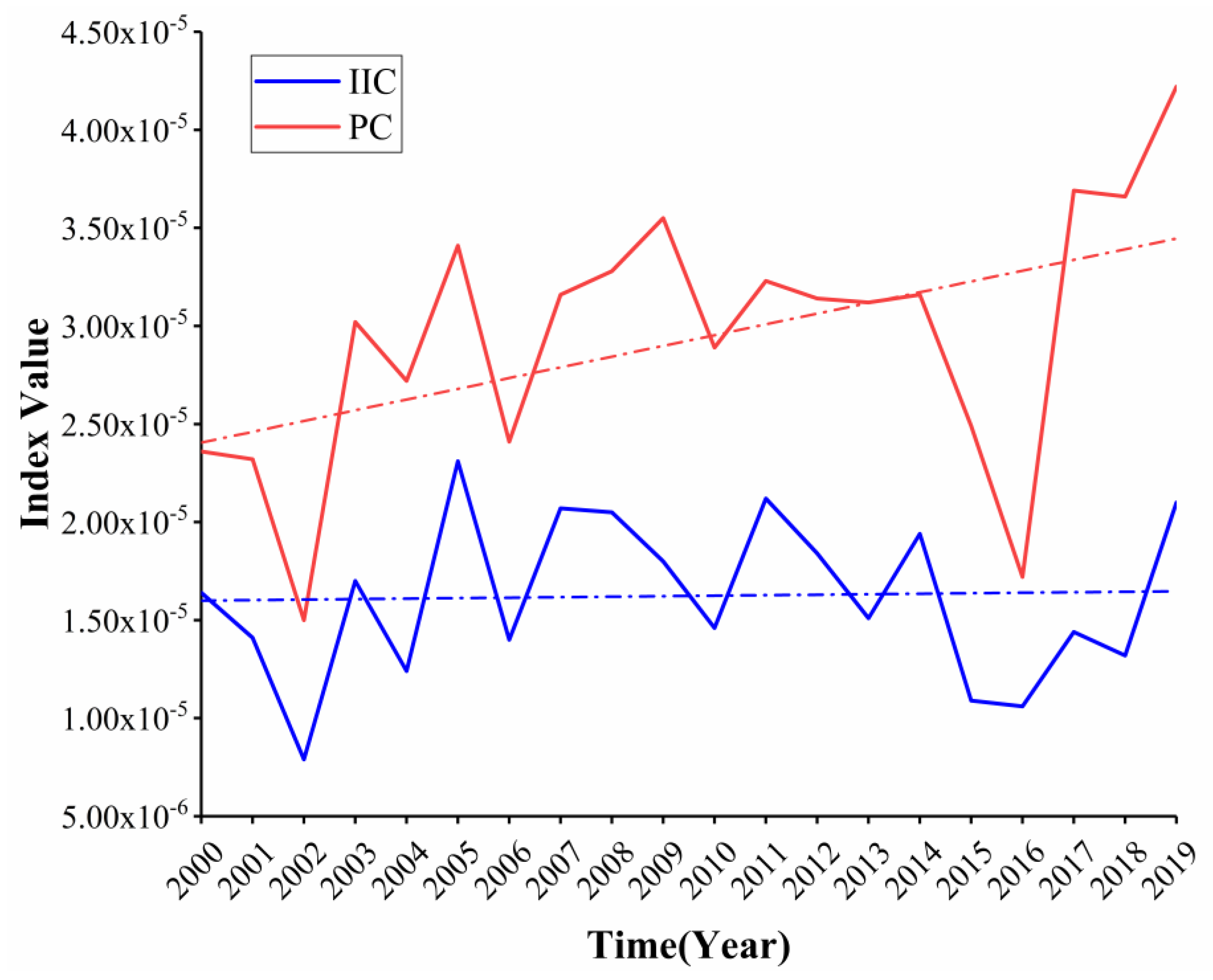
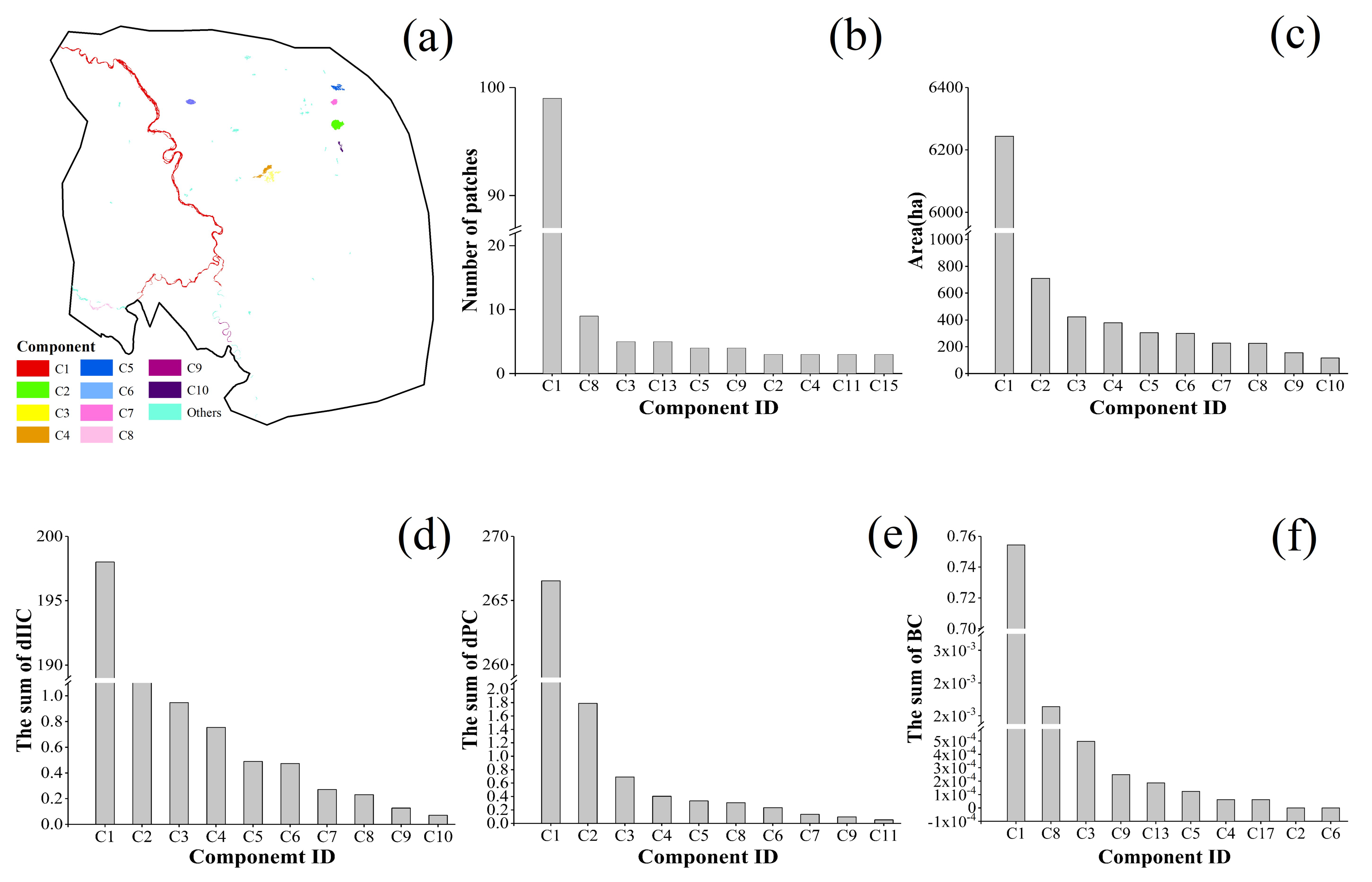
The sustainability of wetlands is threatened by the past and present land use practices. Hydrological connectivity is one of the most important aspects to consider for wetland rehabilitation planning purposes. Circuit theory and connectivity indices can be used to model and assess hydrological connectivity. The aim of this study was to assess spatiotemporal variation in the hydrological connectivity of the Zoigê area from 2000–2019 using both methods. The study area contains a Ramsar wetland of international importance, namely the Sichuan Ruoergai Wetland National Nature Reserve. We used a global surface water observation product as the major input for both methods, and then analyzed the temporal and spatial characteristics, in terms of important components and patches. We found that the overall connectivity has increased slightly in the last 20 years, while the probability of connection between patches of surface water has increased significantly. Important components and patches represent steppingstone habitat for the dispersal of organisms in the landscape. The main determinants of hydrological connectivity are mostly human oriented, predominantly a decrease in large livestock population size and population increase.
Keywords: circuit theory; landscape connectivity indices; ramsar wetland of international importance; remote sensing; Ruoergai wetland; Yellow River circuit theory; landscape connectivity indices; ramsar wetland of international importance; remote sensing; Ruoergai wetland; Yellow River
Graphical Abstract