Article

An Analysis of Bare Soil Occurrence in Arable Croplands for Remote Sensing Topsoil Applications


1
Department of Agriculture Forestry and Nature (DAFNE), University of Tuscia, 01100 Viterbo, Italy
2
Institute of Methodologies for Environmental Analysis, National Research Council of Italy, C.da Santa Loja, Tito Scalo, 85050 Potenza, Italy
3
Key Laboratory of Digital Earth Science, Aerospace Information Research Institute, Chinese Academy of Sciences, Beijing 100094, China
*
Author to whom correspondence should be addressed.
Remote Sens. 2021, 13(3), 474; https://doi.org/10.3390/rs13030474
Submission received: 14 December 2020 / Revised: 20 January 2021 / Accepted: 26 January 2021 / Published: 29 January 2021

Abstract

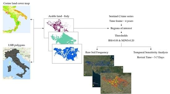
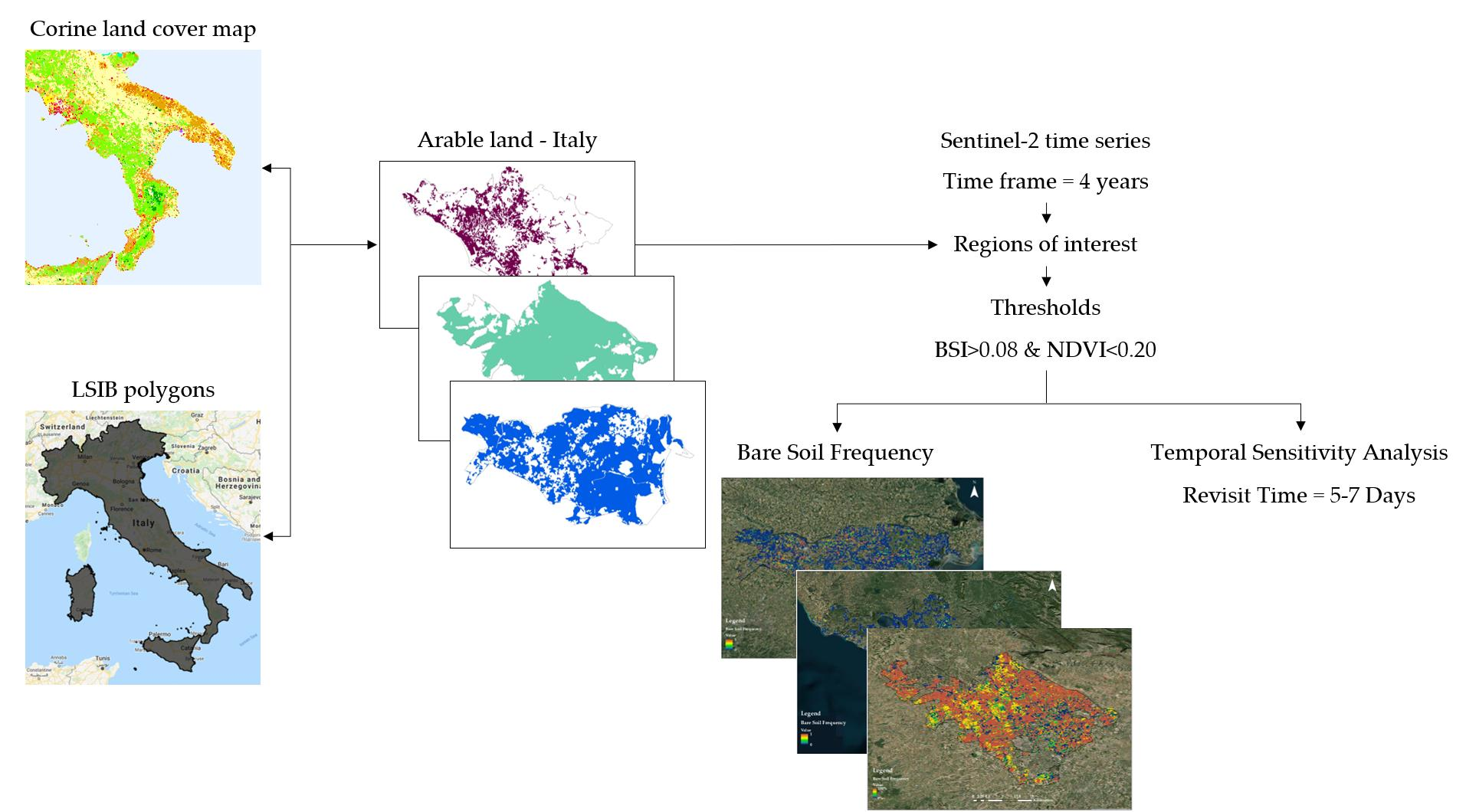
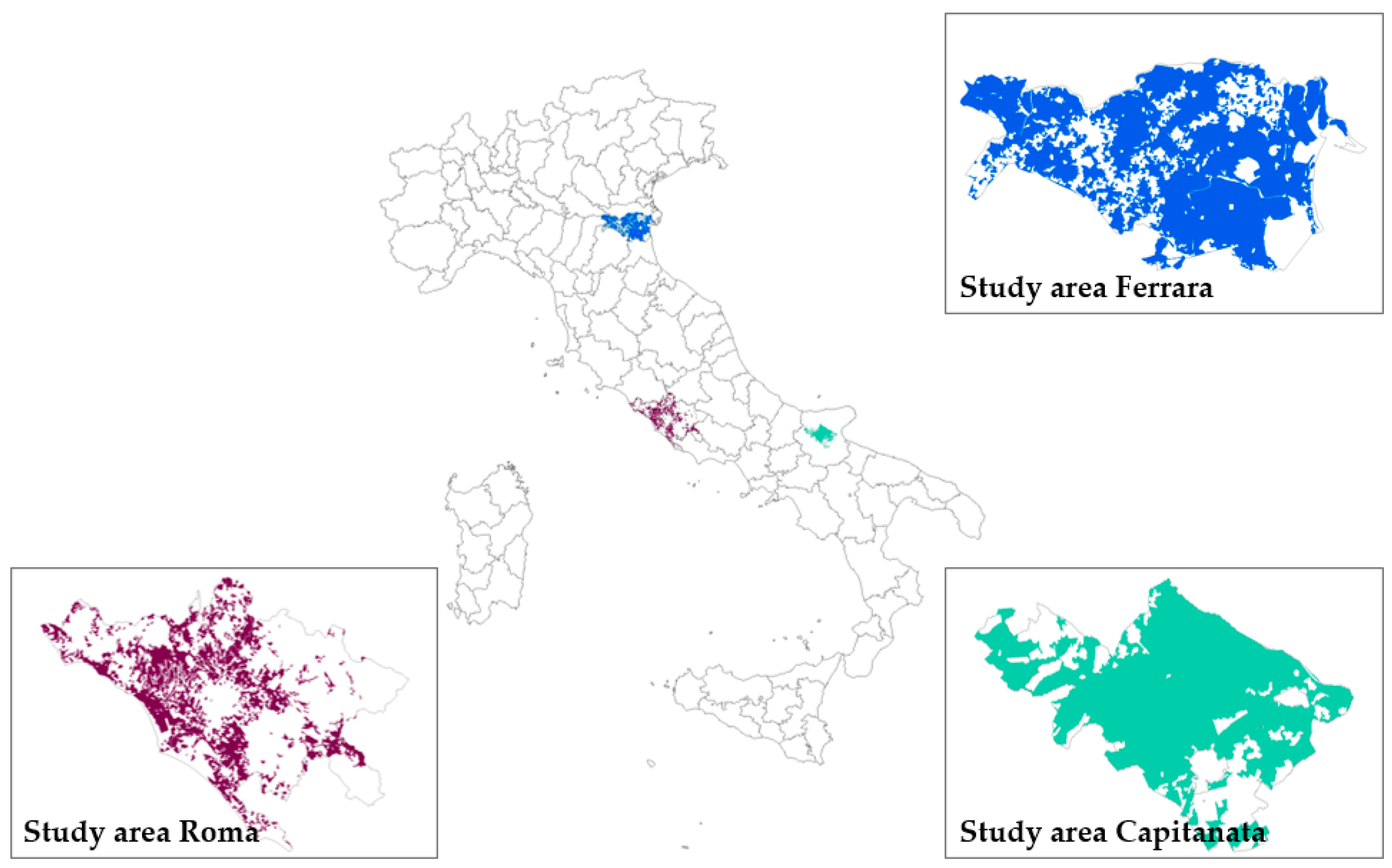
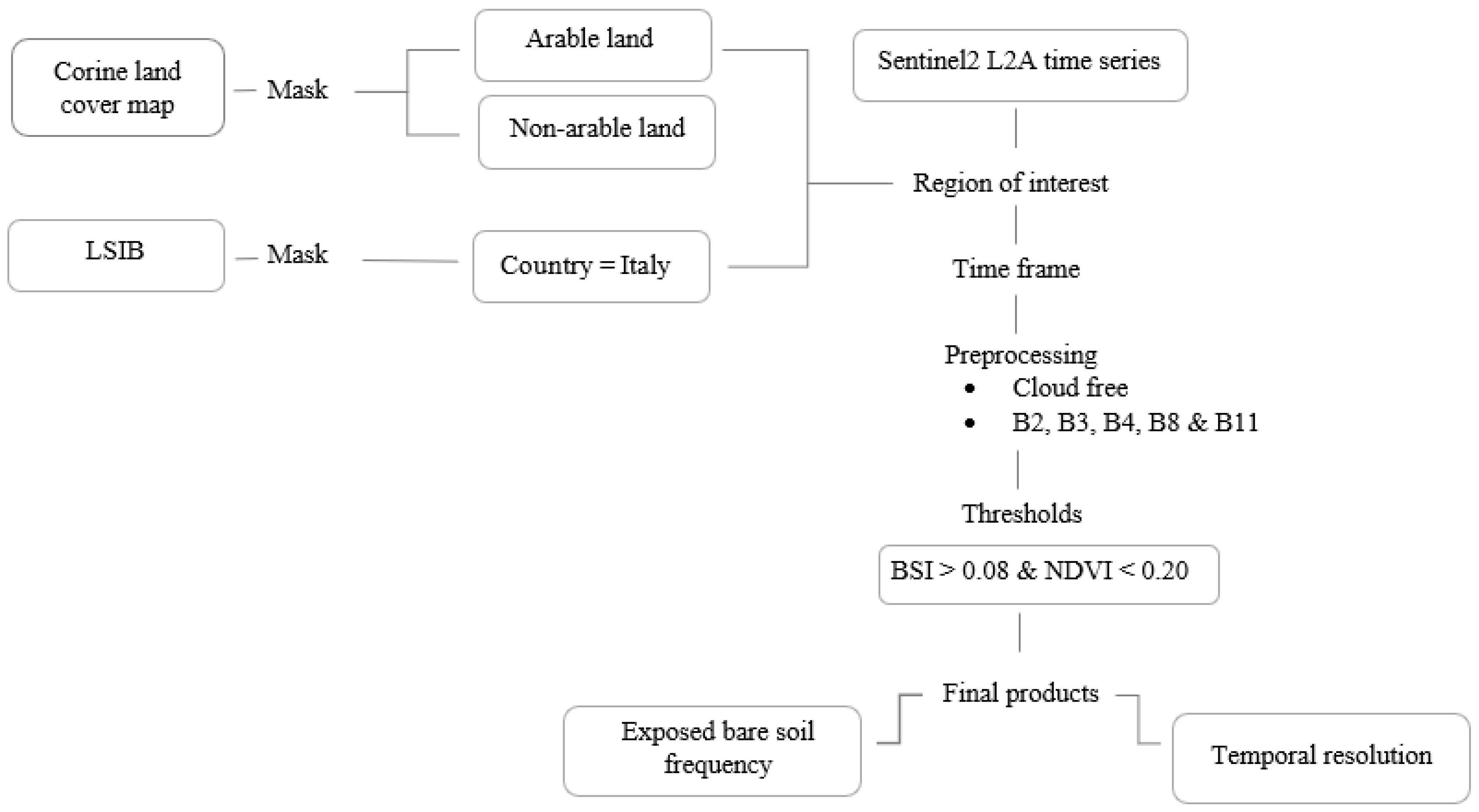
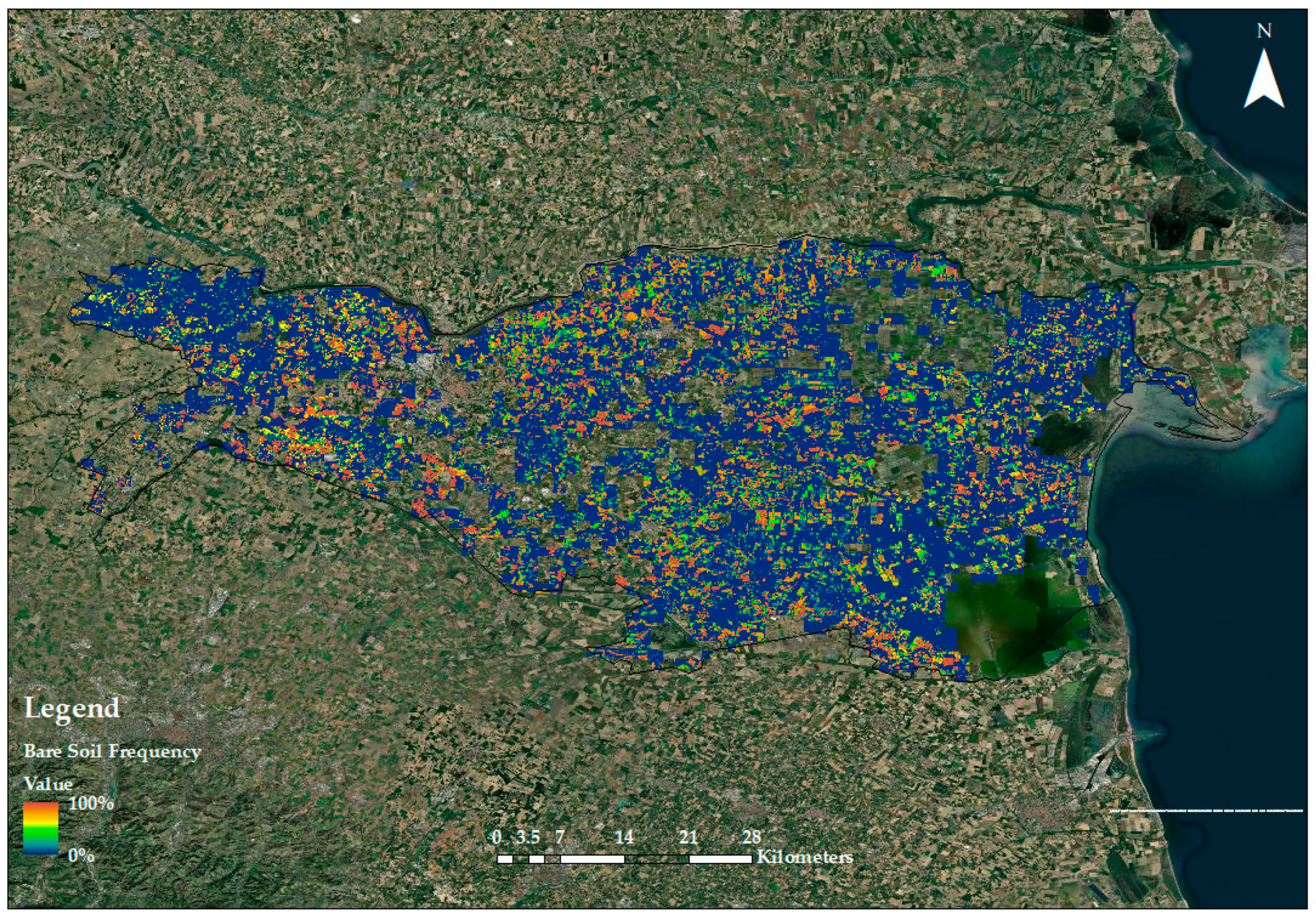
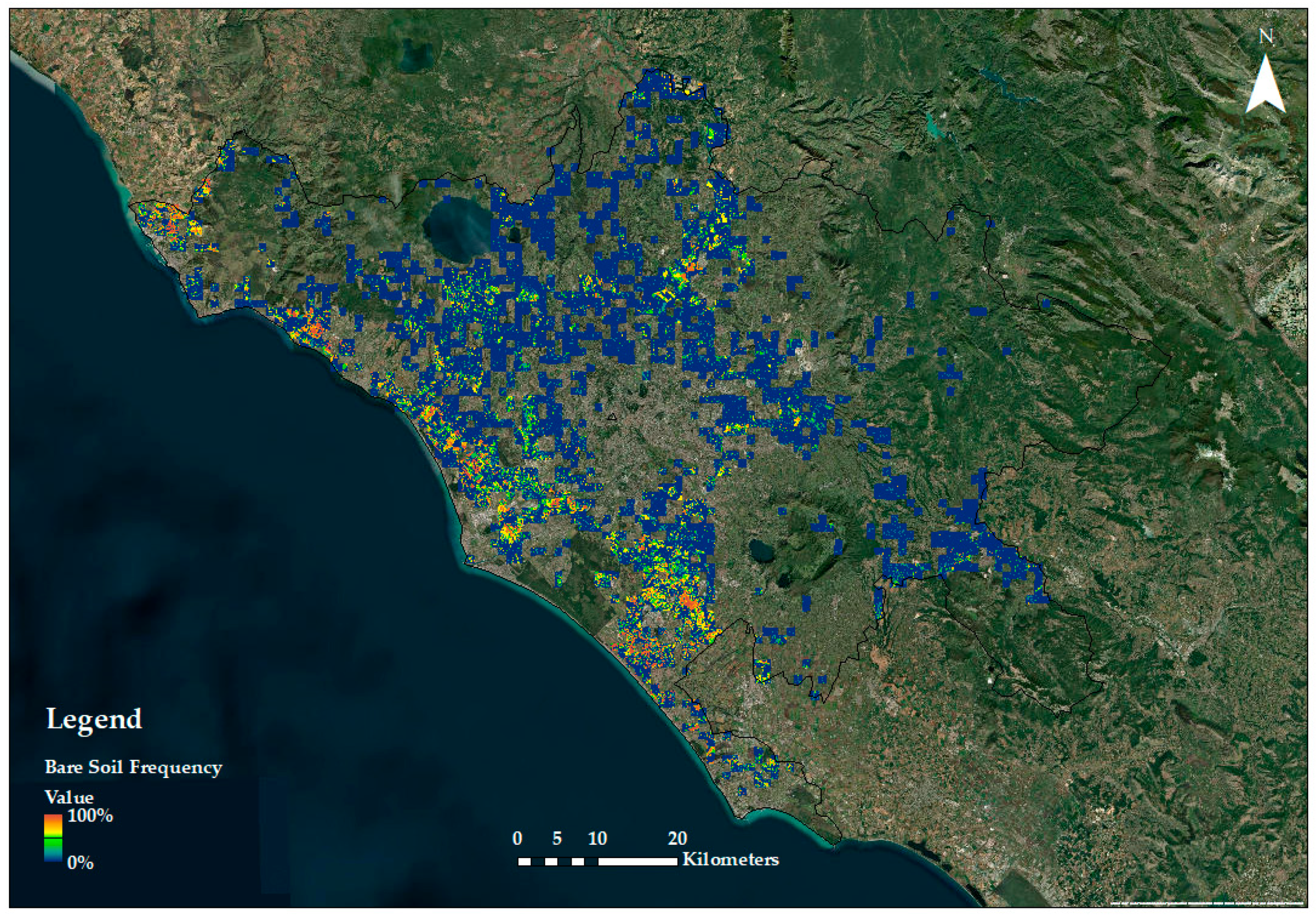
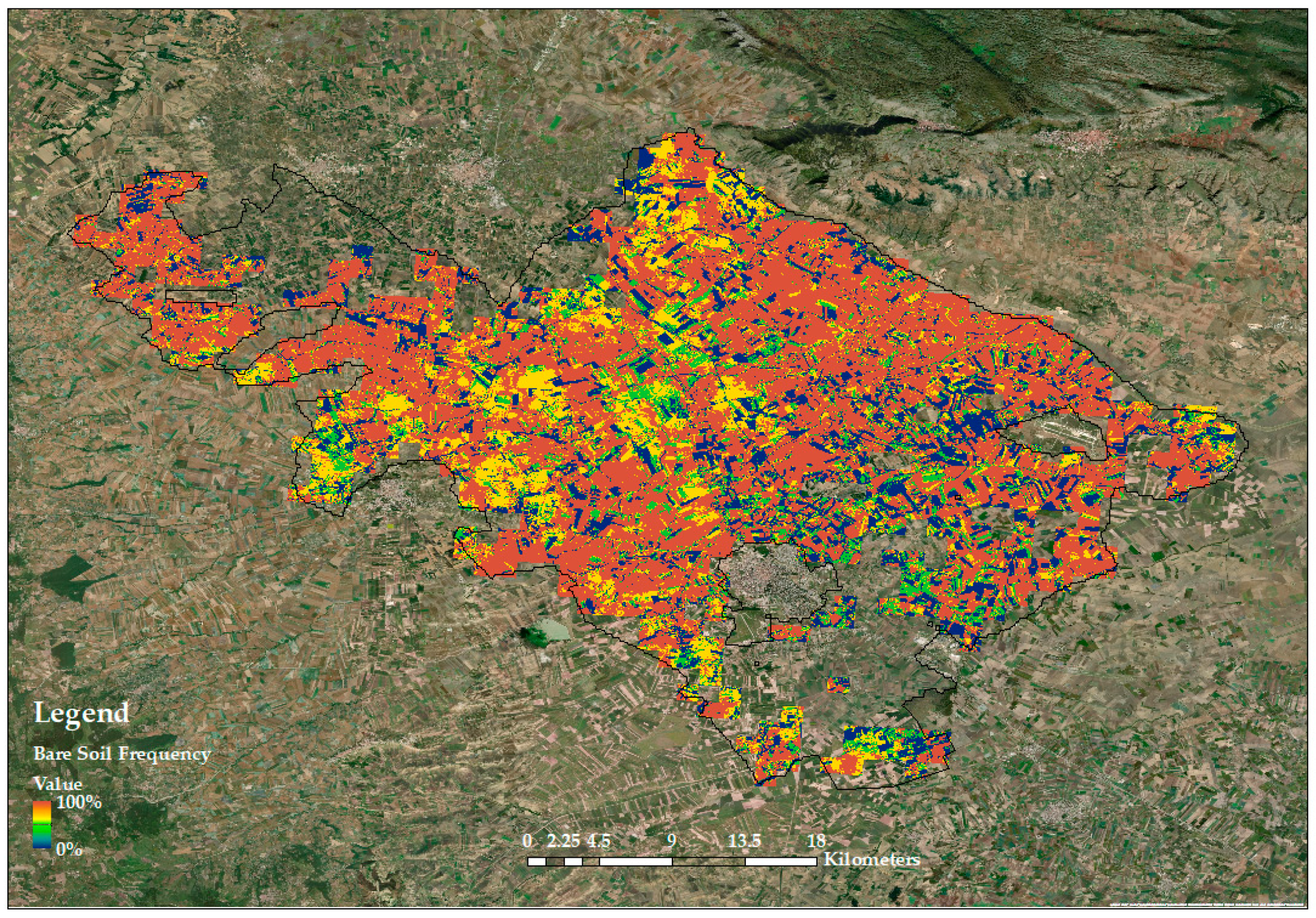
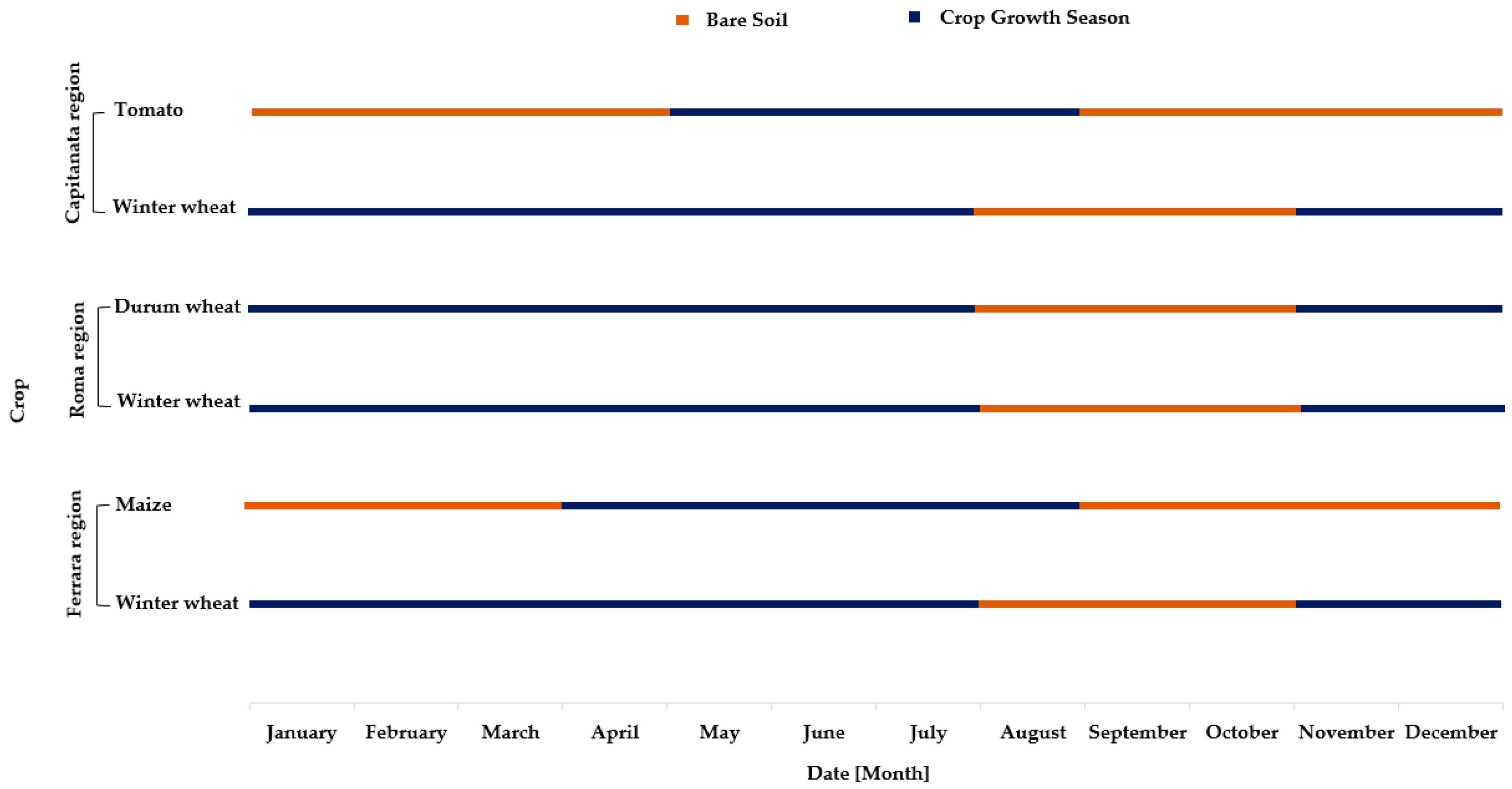
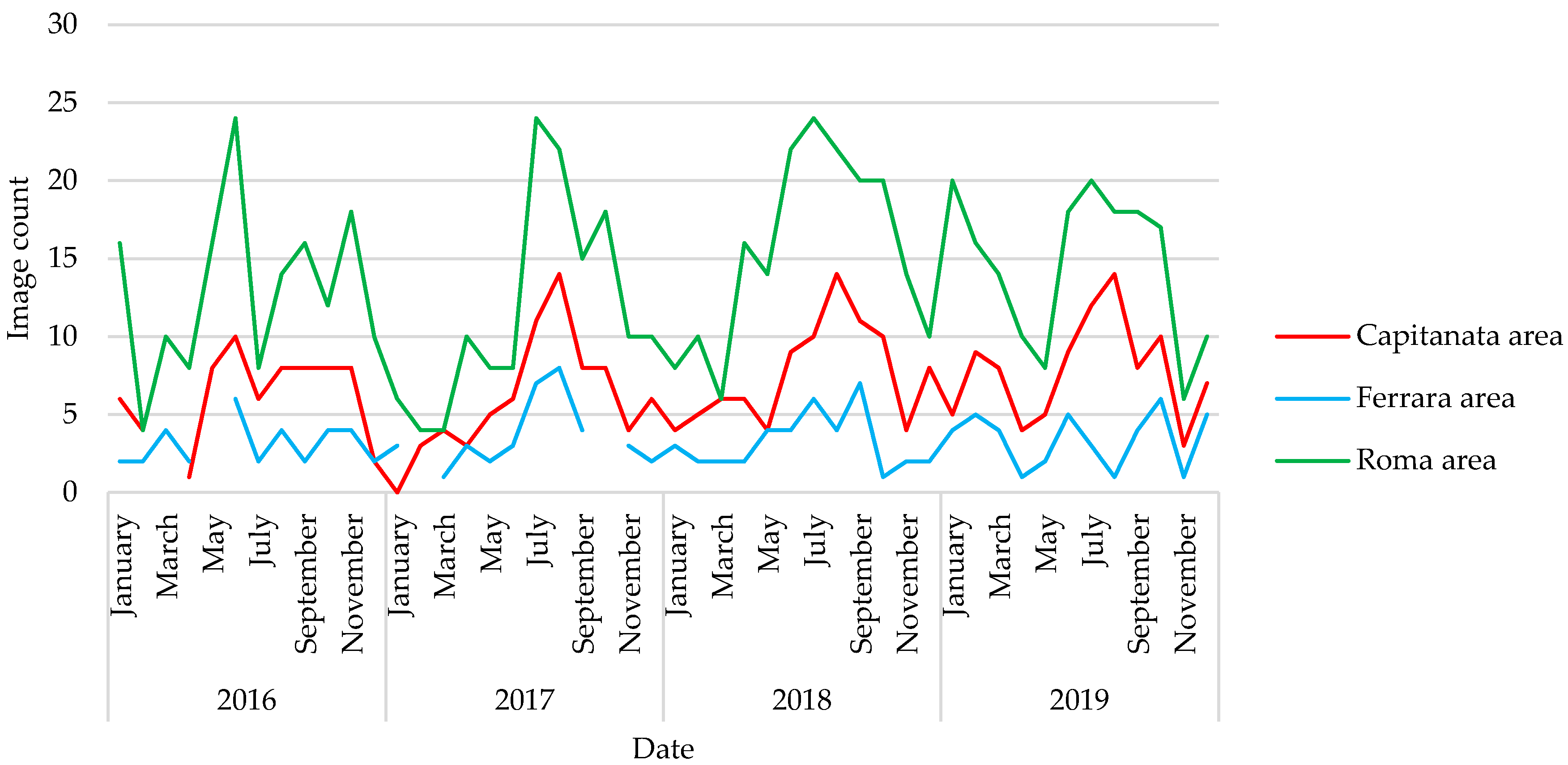
A better comprehension of soil properties and processes permits a progress in agricultural management effectiveness, together with a diminution of environmental damage and more beneficial use of resources. This research investigated the usage of multispectral (Sentinel-2 MSI) satellite data at the farm/regional level, for the identification of agronomic bare soil presence, utilizing bands of the spectral range from visible to shortwave infrared. The research purpose was to assess the frequency of cloud-free bare soil time-series images available during the year in typical agricultural areas, needed for the development of digital soil mapping (DSM) approaches for agricultural applications, using hyperspectral satellite missions such as current PRISMA and the planned EnMAP or CHIME. The research exploited the Google Earth Engine platform, by processing all available cloud-free Sentinel-2 images throughout a time span of four years. Two main results were obtained: (i) bare soil frequency, indicating where and when a pixel (or an agricultural field) was detected as bare surface in three representative agricultural areas of Italy, and (ii) a temporal sensitivity analysis, providing the acquisition frequency of useful bare soil images applicable for the retrieval of soil variables of interest. It was shown that, in order to provide for an effective agricultural soil monitoring capability, a revisit frequency in the range of five to seven days is required, which is less than the planned specifications e.g., of PRISMA or CHIME hyperspectral missions, but could be addressed by combining data from the two sensors.
Keywords: soil monitoring; Sentinel-2; bare soil frequency; temporal sensitivity analysis soil monitoring; Sentinel-2; bare soil frequency; temporal sensitivity analysis
Graphical Abstract