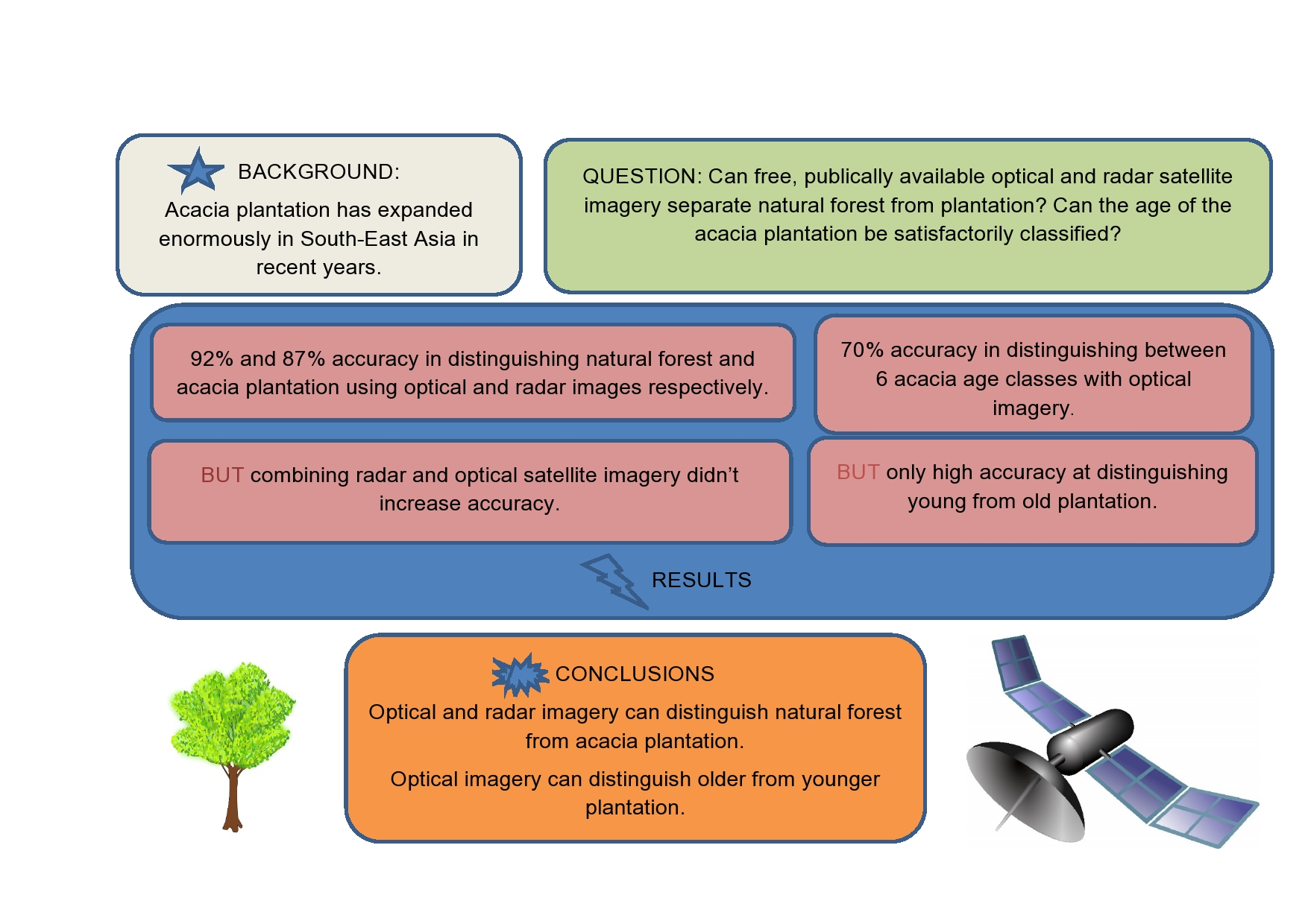
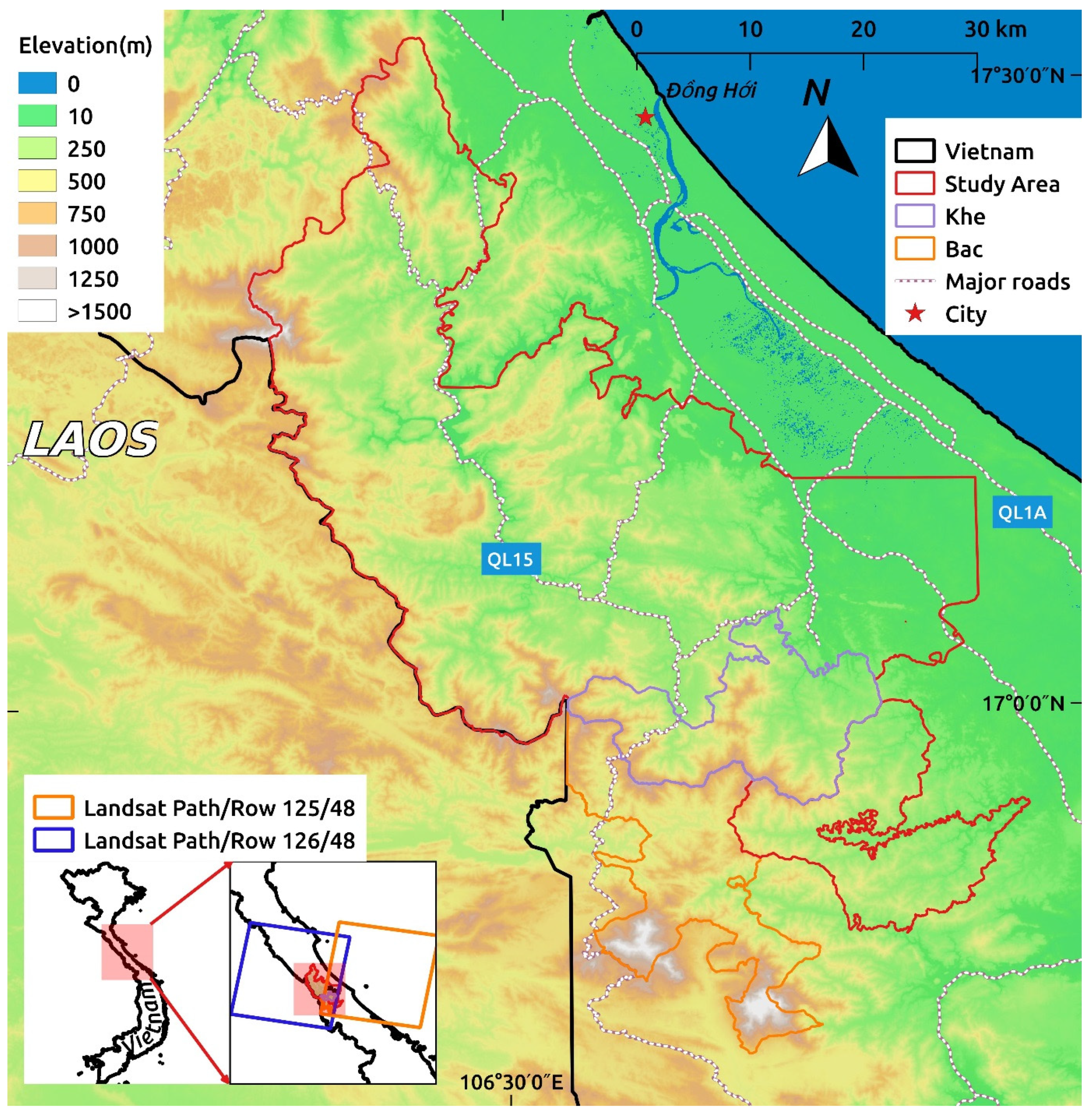
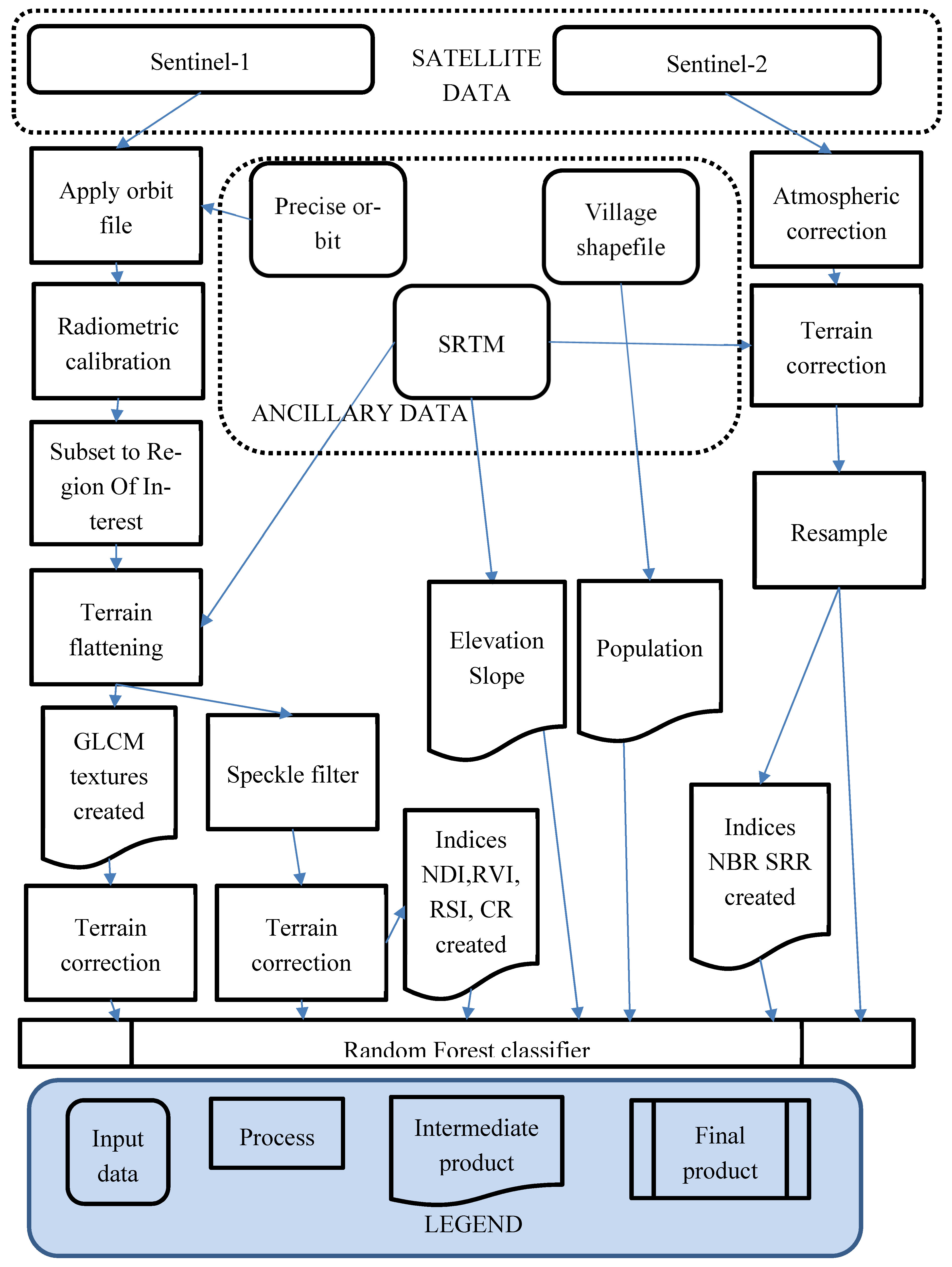
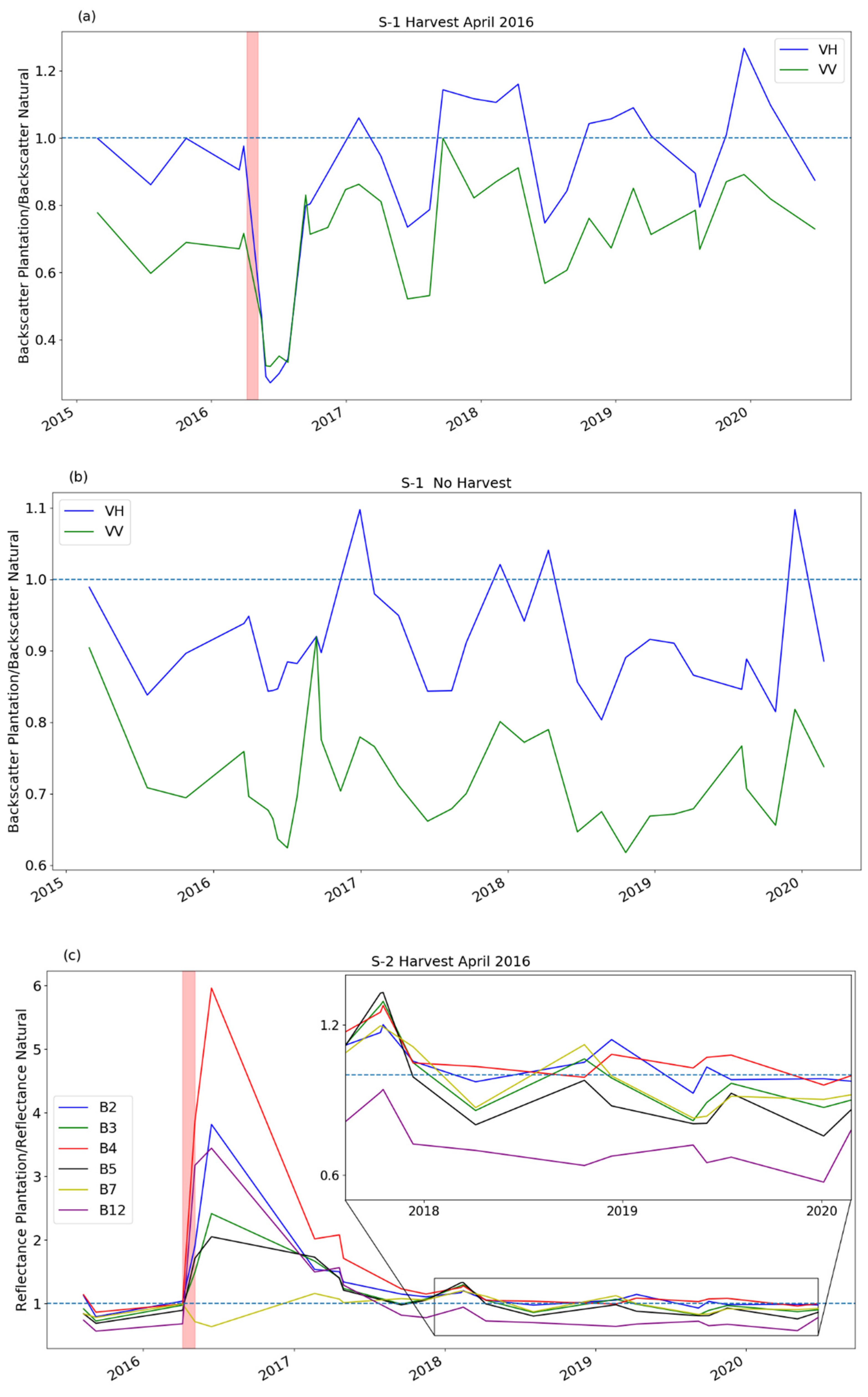
Synergistic Use of Sentinel-1 and Sentinel-2 to Map Natural Forest and Acacia Plantation and Stand Ages in North-Central Vietnam

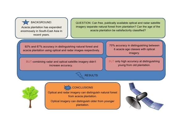
Abstract
Share and Cite
Spracklen, B.; Spracklen, D.V. Synergistic Use of Sentinel-1 and Sentinel-2 to Map Natural Forest and Acacia Plantation and Stand Ages in North-Central Vietnam. Remote Sens. 2021, 13, 185. https://doi.org/10.3390/rs13020185
Spracklen B, Spracklen DV. Synergistic Use of Sentinel-1 and Sentinel-2 to Map Natural Forest and Acacia Plantation and Stand Ages in North-Central Vietnam. Remote Sensing. 2021; 13(2):185. https://doi.org/10.3390/rs13020185
Chicago/Turabian StyleSpracklen, Ben, and Dominick V. Spracklen. 2021. "Synergistic Use of Sentinel-1 and Sentinel-2 to Map Natural Forest and Acacia Plantation and Stand Ages in North-Central Vietnam" Remote Sensing 13, no. 2: 185. https://doi.org/10.3390/rs13020185
APA StyleSpracklen, B., & Spracklen, D. V. (2021). Synergistic Use of Sentinel-1 and Sentinel-2 to Map Natural Forest and Acacia Plantation and Stand Ages in North-Central Vietnam. Remote Sensing, 13(2), 185. https://doi.org/10.3390/rs13020185