Article

Fog Measurements with IR Whole Sky Imager and Doppler Lidar, Combined with In Situ Instruments
1
Environmental Physics Department, Israel Institute for Biological Research (IIBR), Ness Ziona 7410001, Israel
2
Life Science Research Israel (LSRI), Ness Ziona 7410001, Israel
*
Author to whom correspondence should be addressed.
Remote Sens. 2021, 13(16), 3320; https://doi.org/10.3390/rs13163320
Submission received: 20 July 2021 / Revised: 18 August 2021 / Accepted: 20 August 2021 / Published: 22 August 2021
(This article belongs to the Section Atmospheric Remote Sensing)

Abstract

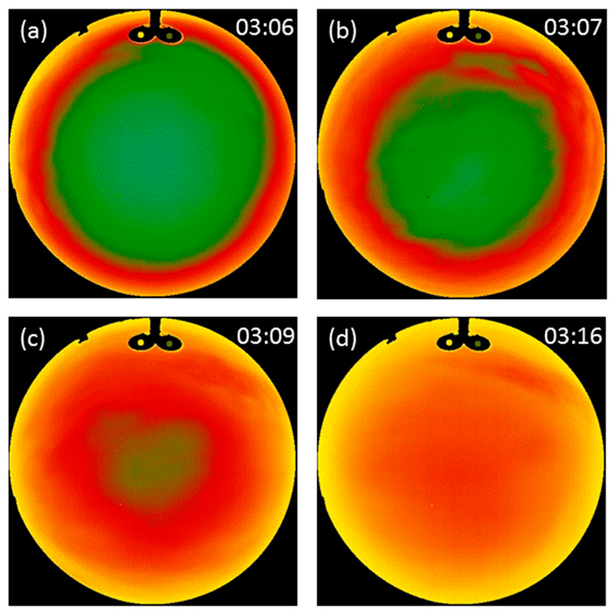
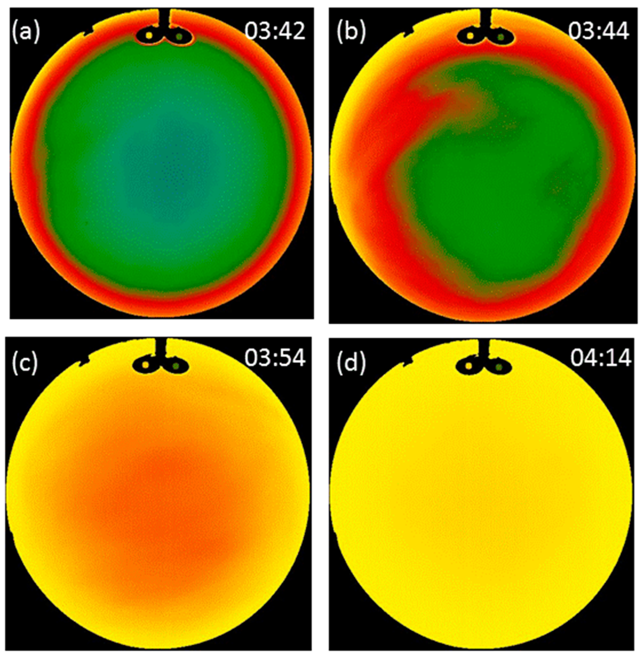
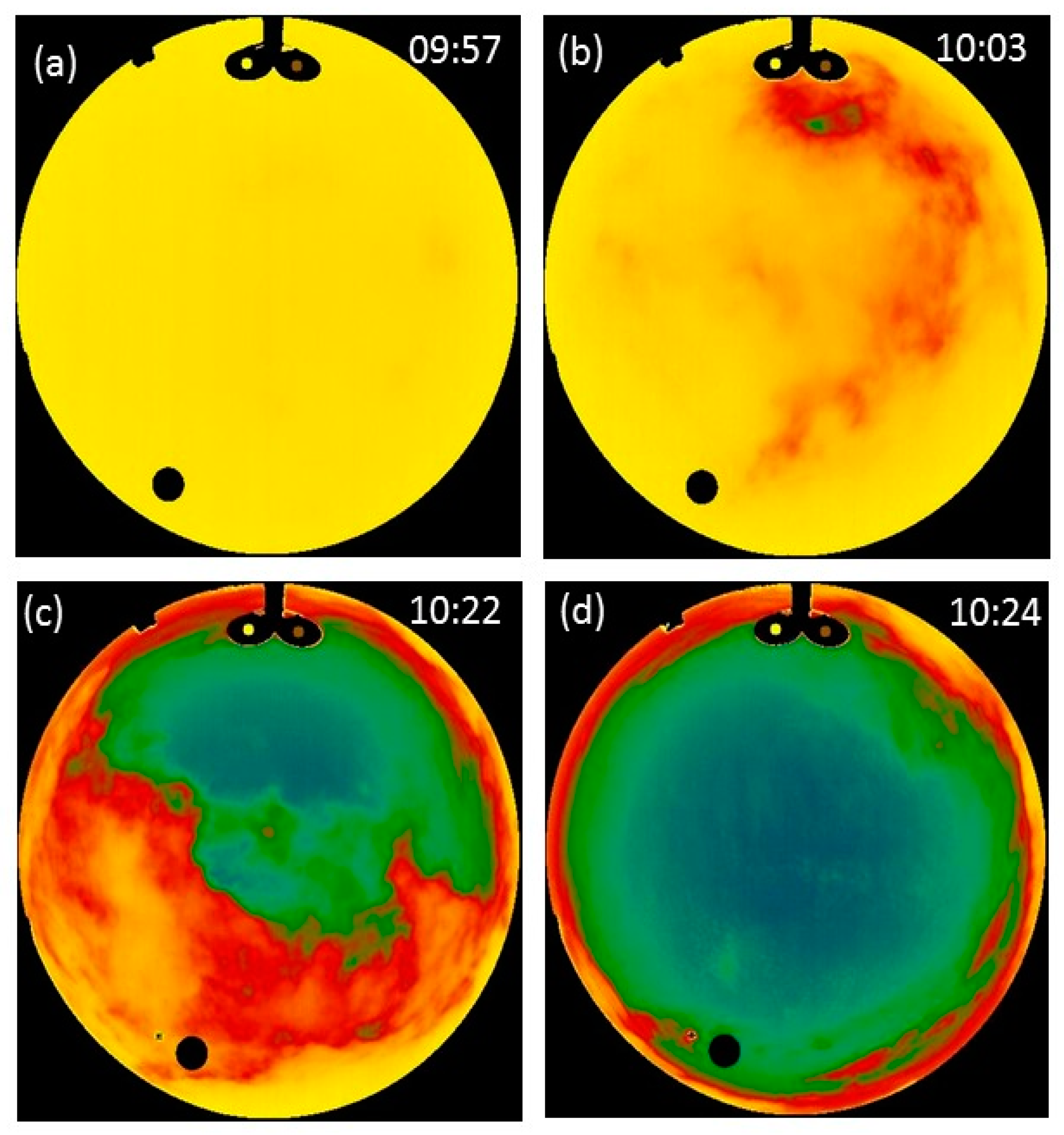
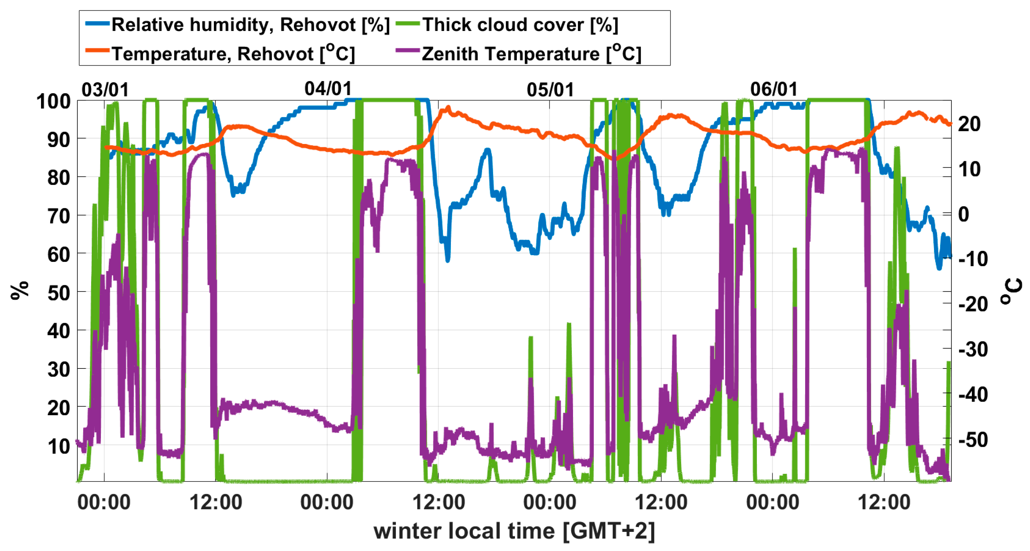
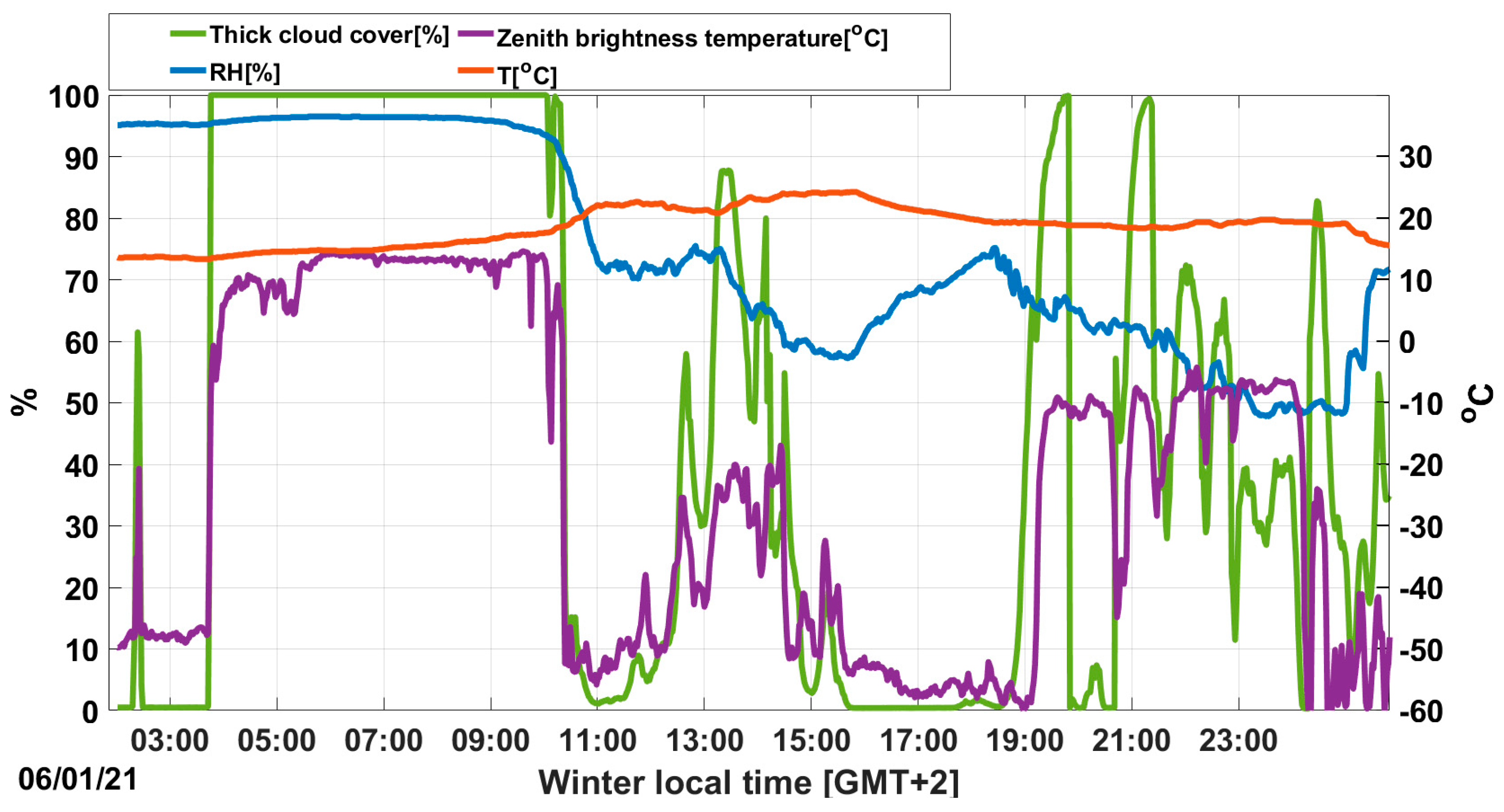
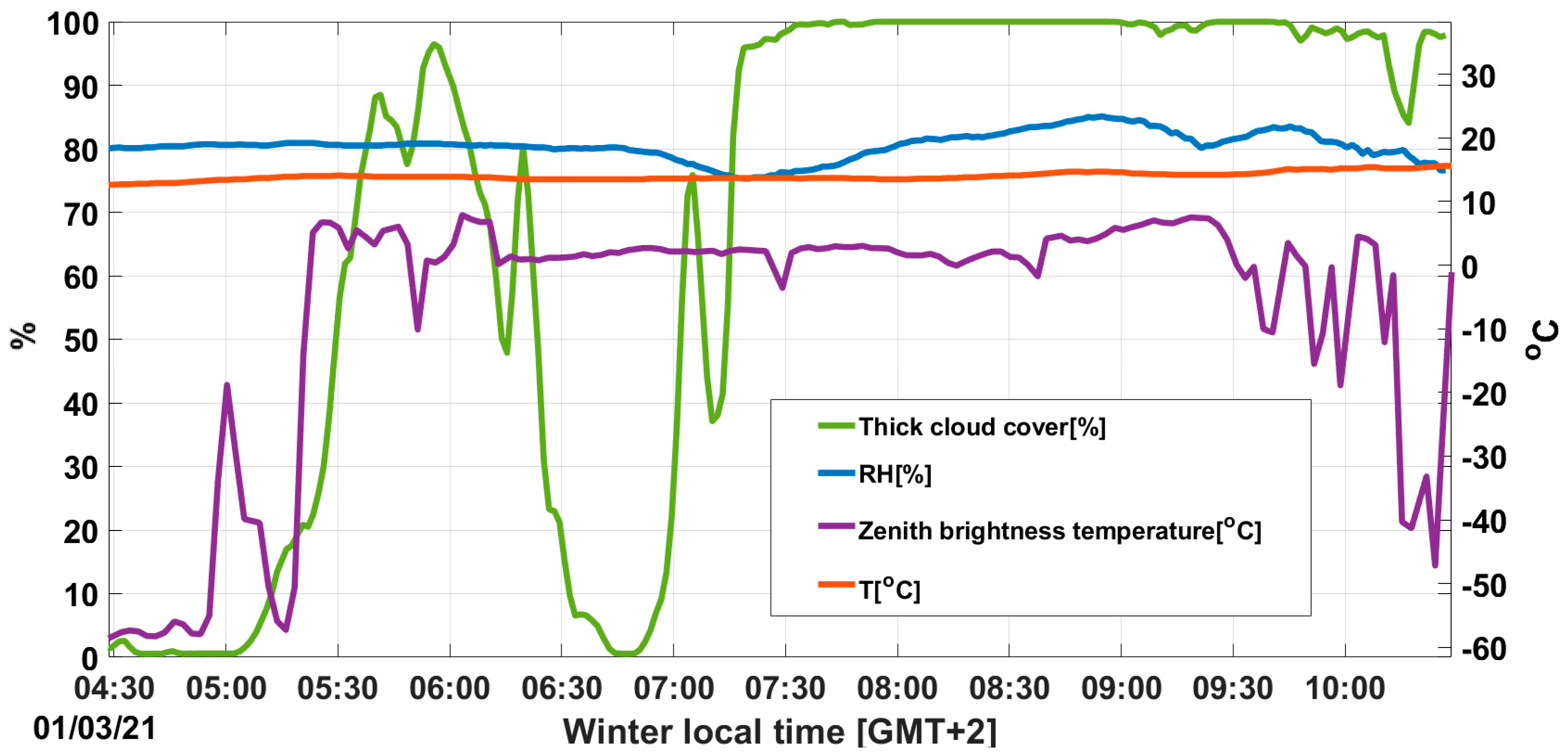
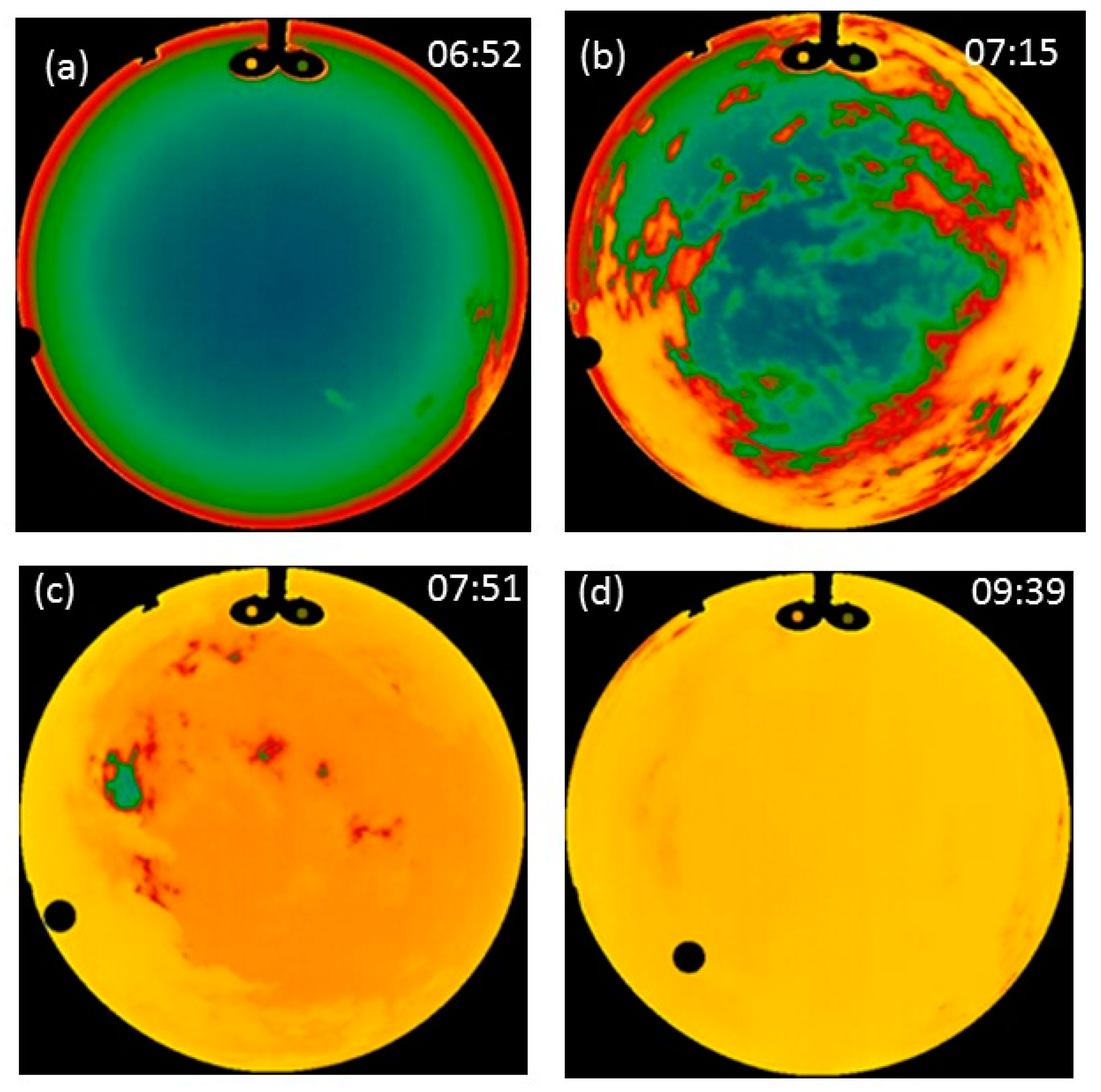
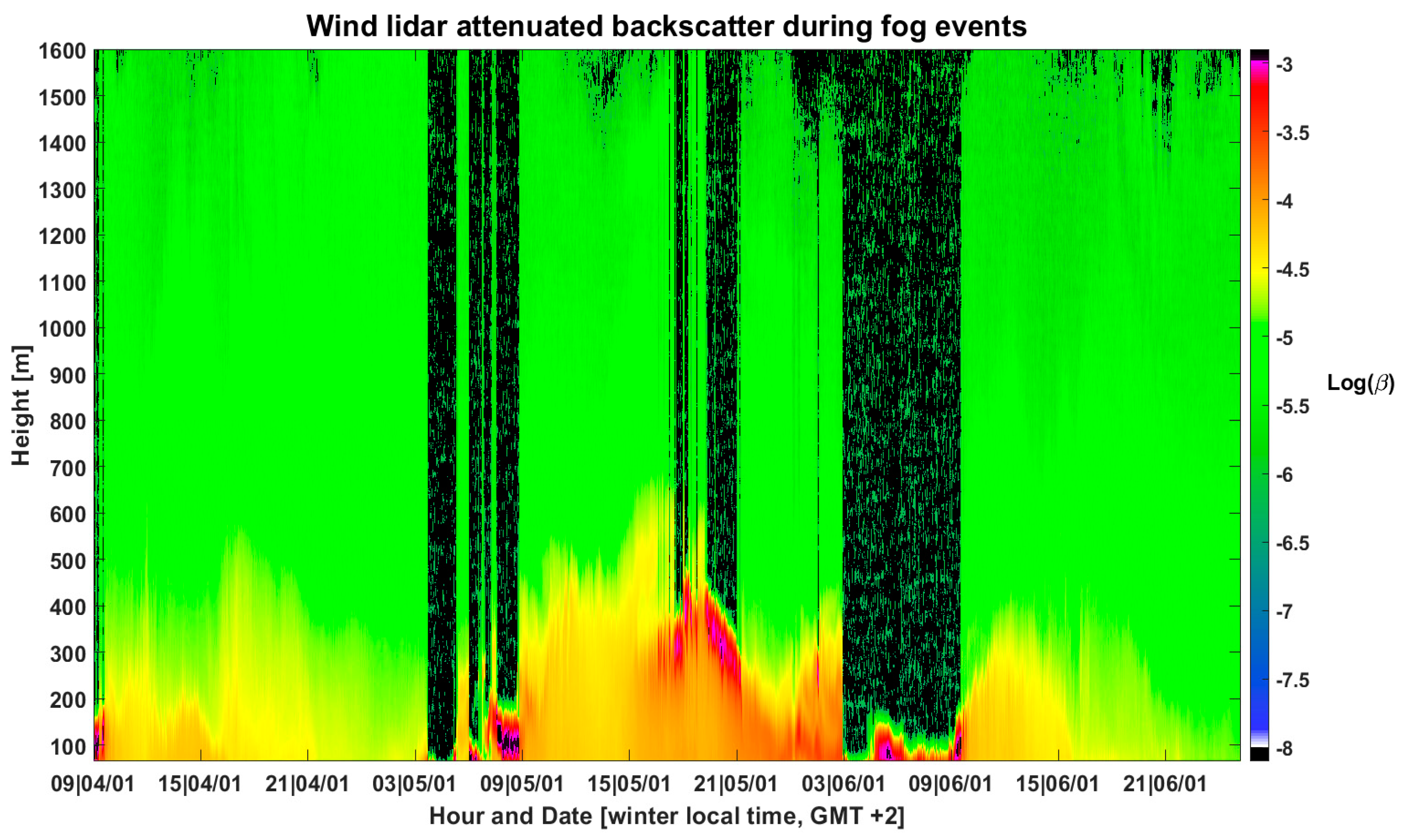
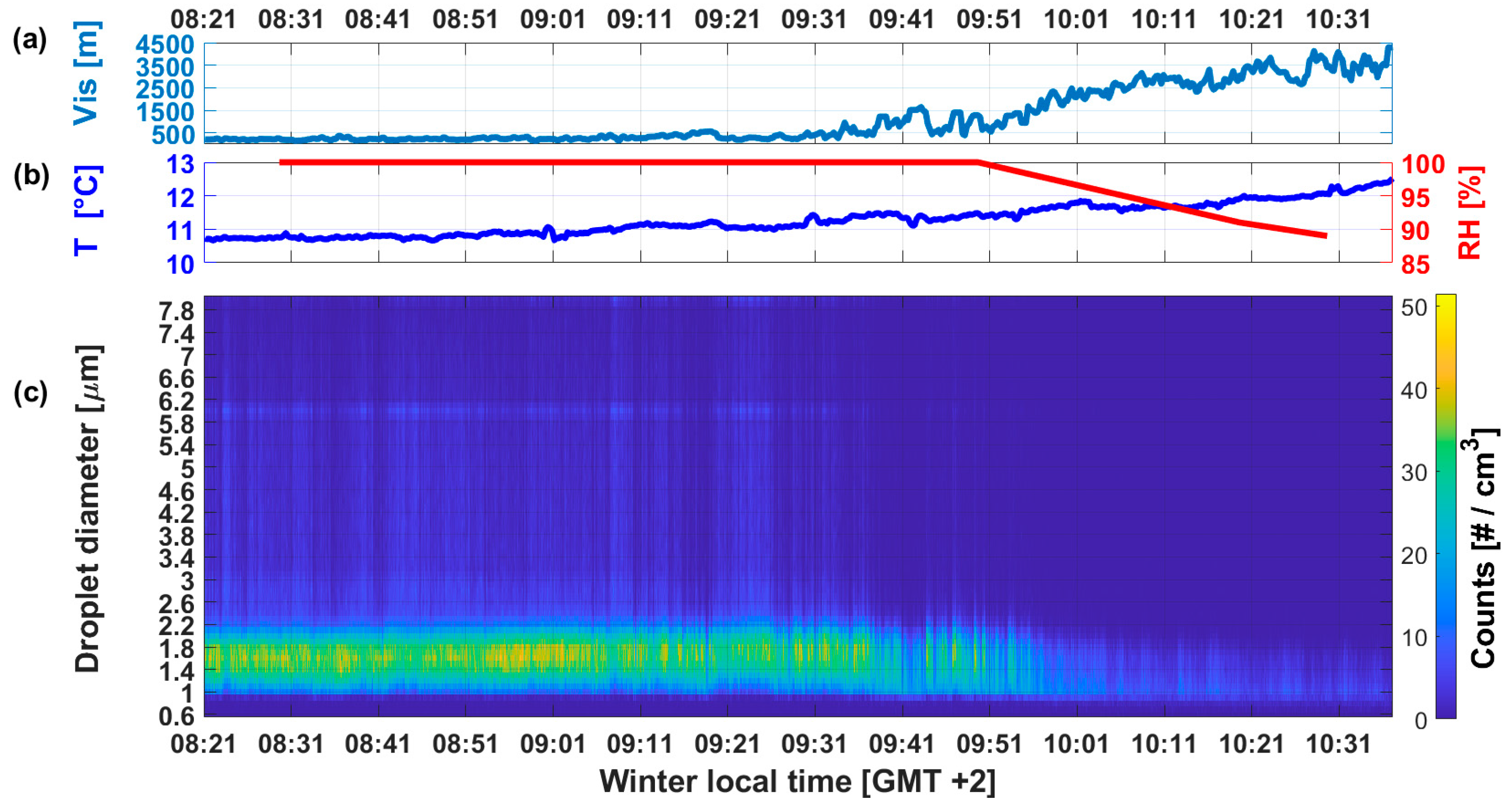
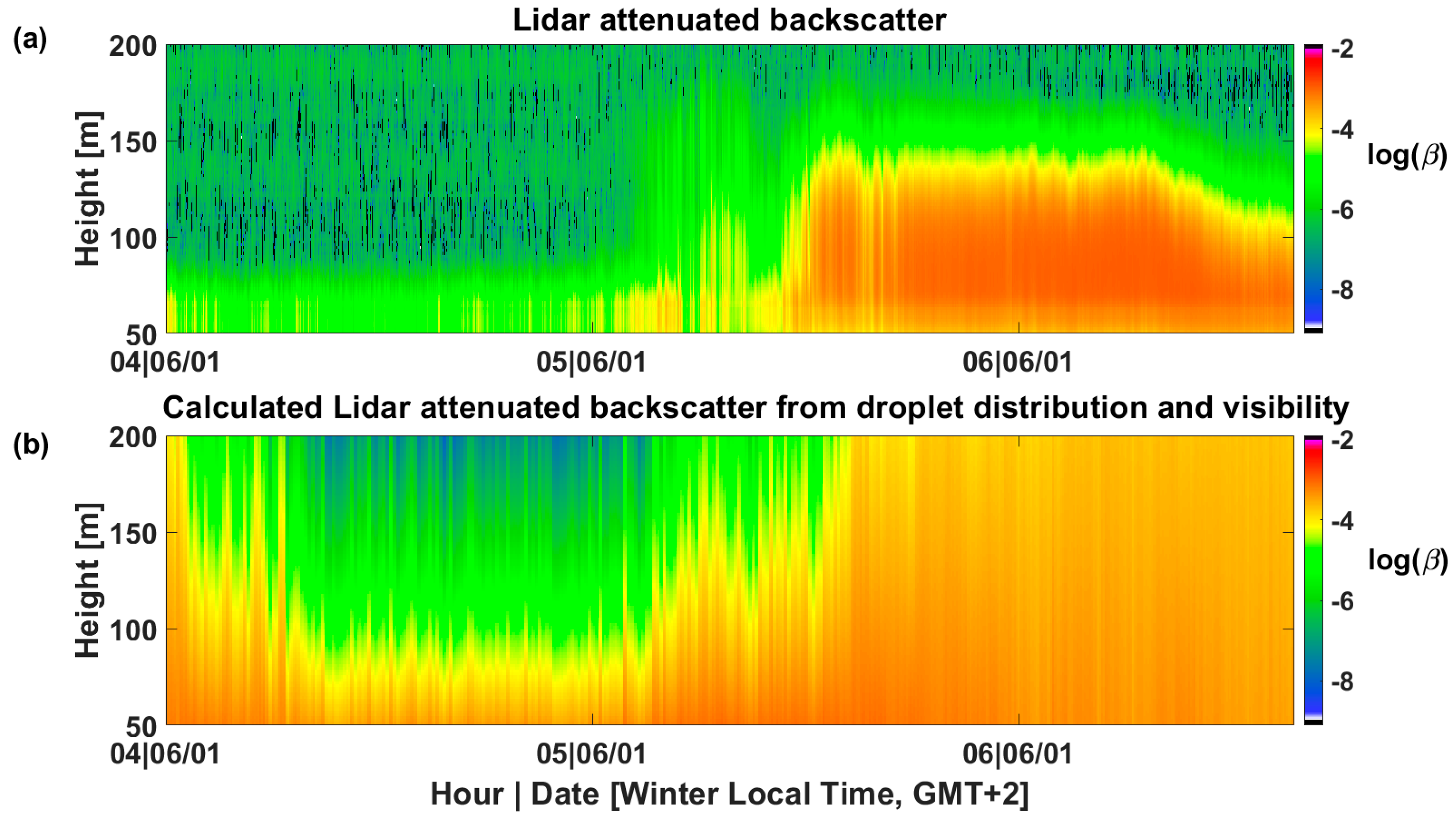
This study describes comprehensive measurements performed for four consecutive nights during a regional-scale radiation fog event in Israel’s central and southern areas in January 2021. Our data included both in situ measurements of droplets size distribution, visibility range, and meteorological parameters and remote sensing with a thermal IR Whole Sky Imager and a Doppler Lidar. This work is the first extensive field campaign aimed to characterize fog properties in Israel and is a pioneer endeavor that encompasses simultaneous remote sensing measurements and analysis of a fog event with a thermal IR Whole Sky Imager. Radiation fog, as monitored by the sensor’s field of view, reveals three distinctive properties that make it possible to identify it. First, it exhibits an azimuthal symmetrical shape during the buildup phase. Second, the zenith brightness temperature is very close to the ground-level air temperature. Lastly, the rate of increase in cloud cover up to a completely overcast sky is very fast. Additionally, we validated the use of a Doppler Lidar as a tool for monitoring fog by proving that the measured backscatter-attenuation vertical profile agrees with the calculation of the Lidar equation fed with data measured by in situ instruments. It is shown that fog can be monitored by those two, off-the-shelf-stand-off-sensing technologies that were not originally designed for fog purposes. It enables the monitoring of fog properties such as type, evolution with time and vertical depth, and opens the path for future works of studying the different types of fog events.
Keywords: radiation fog; thermal IR whole sky imager; wind doppler lidar; in situ measurements radiation fog; thermal IR whole sky imager; wind doppler lidar; in situ measurements