Article

Towards Effective BIM/GIS Data Integration for Smart City by Integrating Computer Graphics Technique


School of Design and the Built Environment, Curtin University, Bentley 6102, Western Australia, Australia
*
Author to whom correspondence should be addressed.
Remote Sens. 2021, 13(10), 1889; https://doi.org/10.3390/rs13101889
Submission received: 12 April 2021 / Revised: 6 May 2021 / Accepted: 11 May 2021 / Published: 12 May 2021
(This article belongs to the Special Issue Geographic Data Analysis and Modeling in Remote Sensing)

Abstract

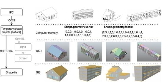
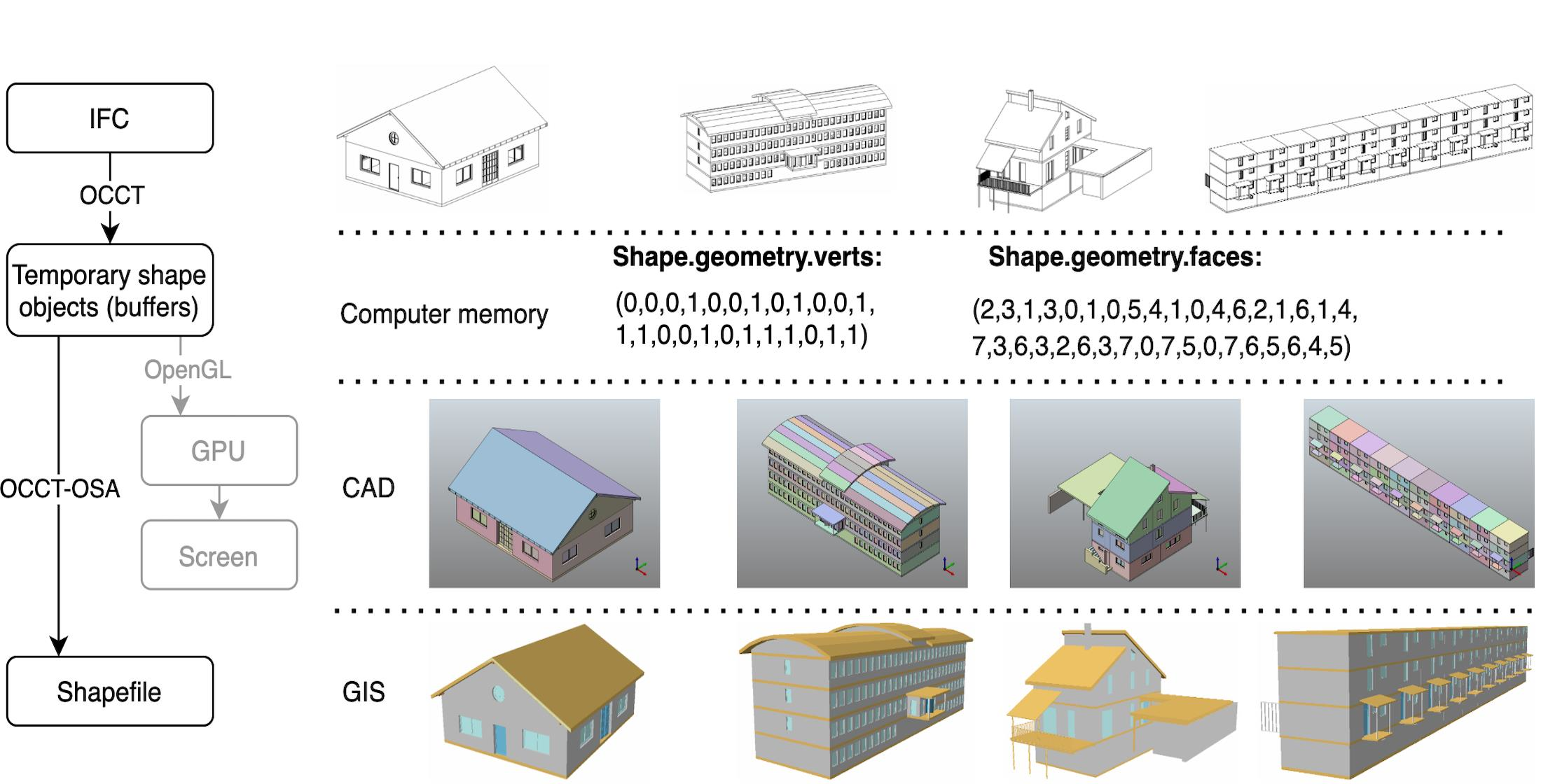
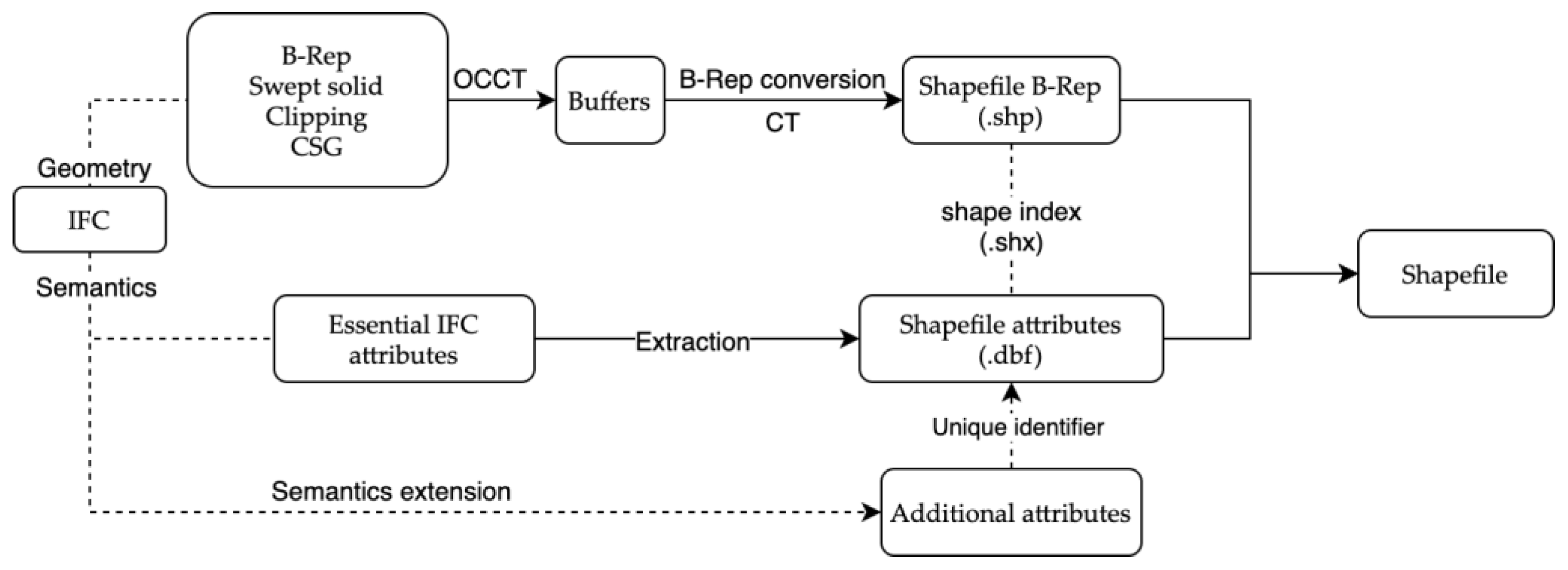
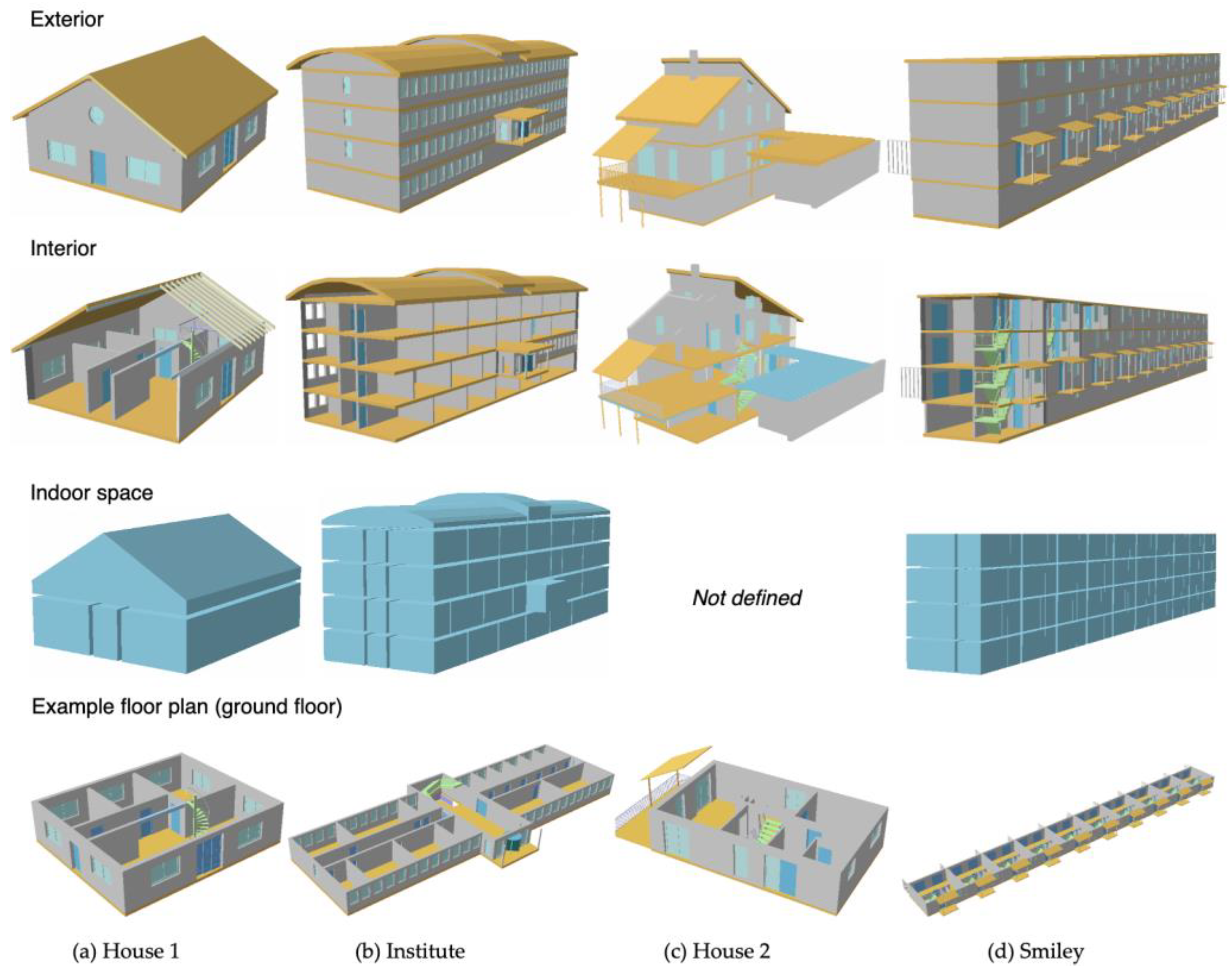
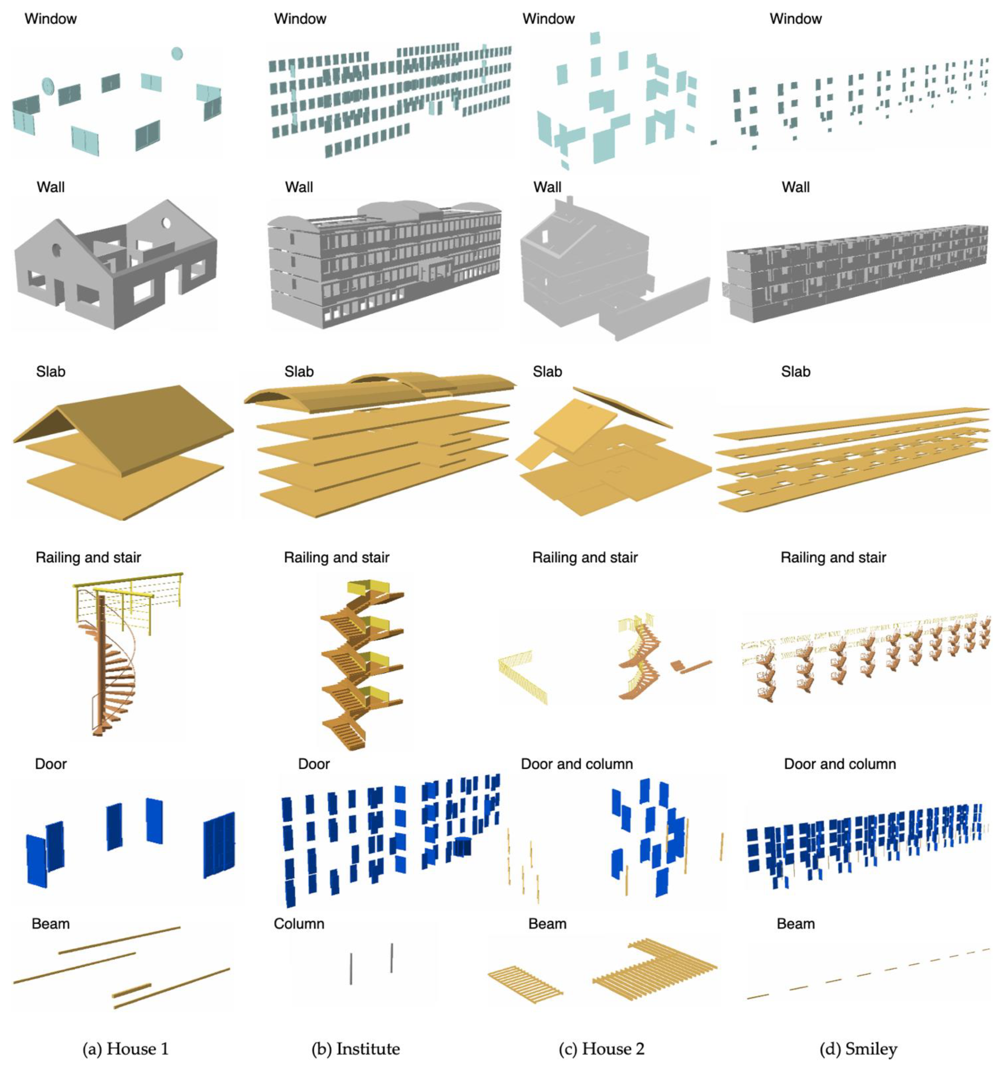
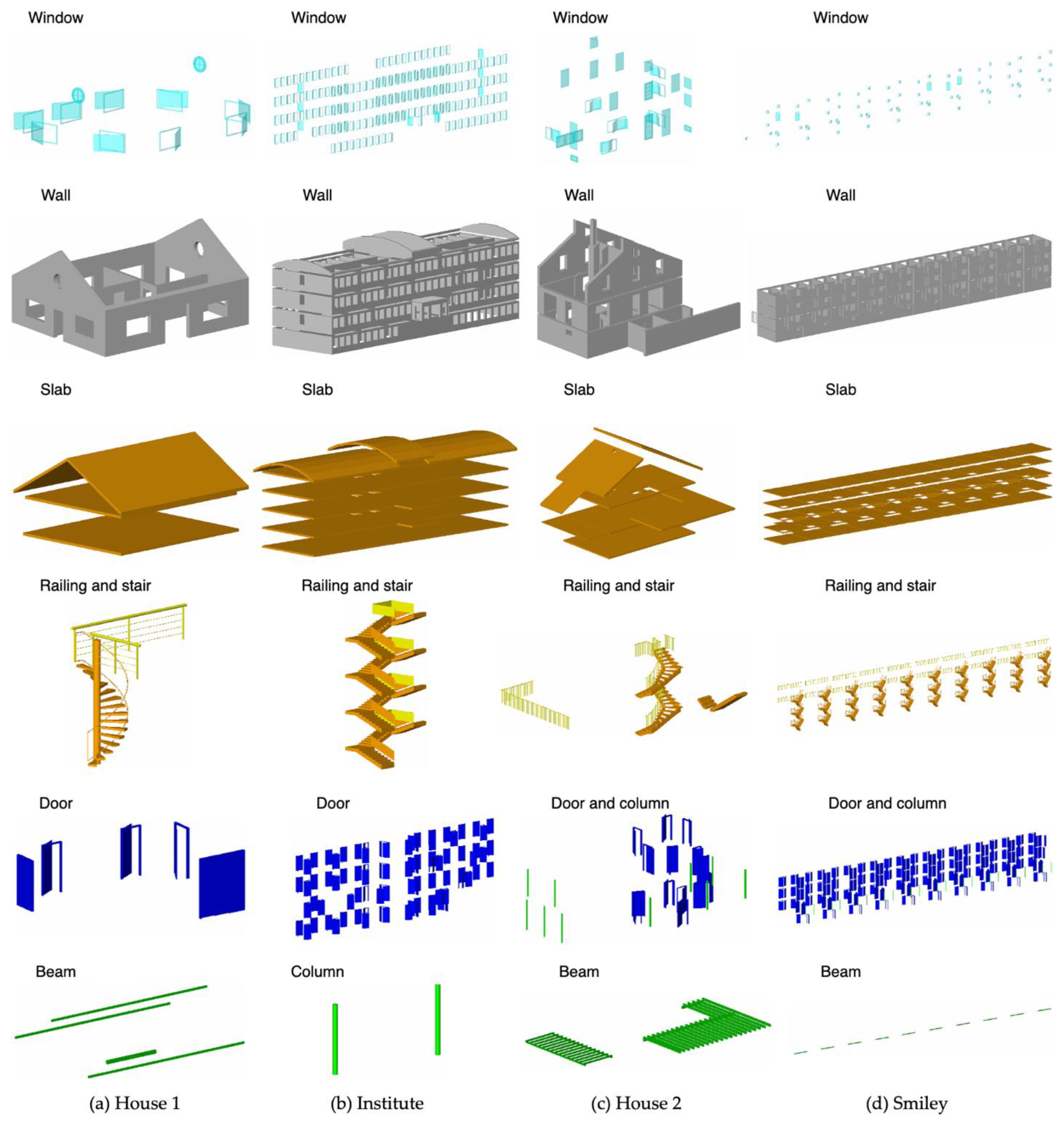
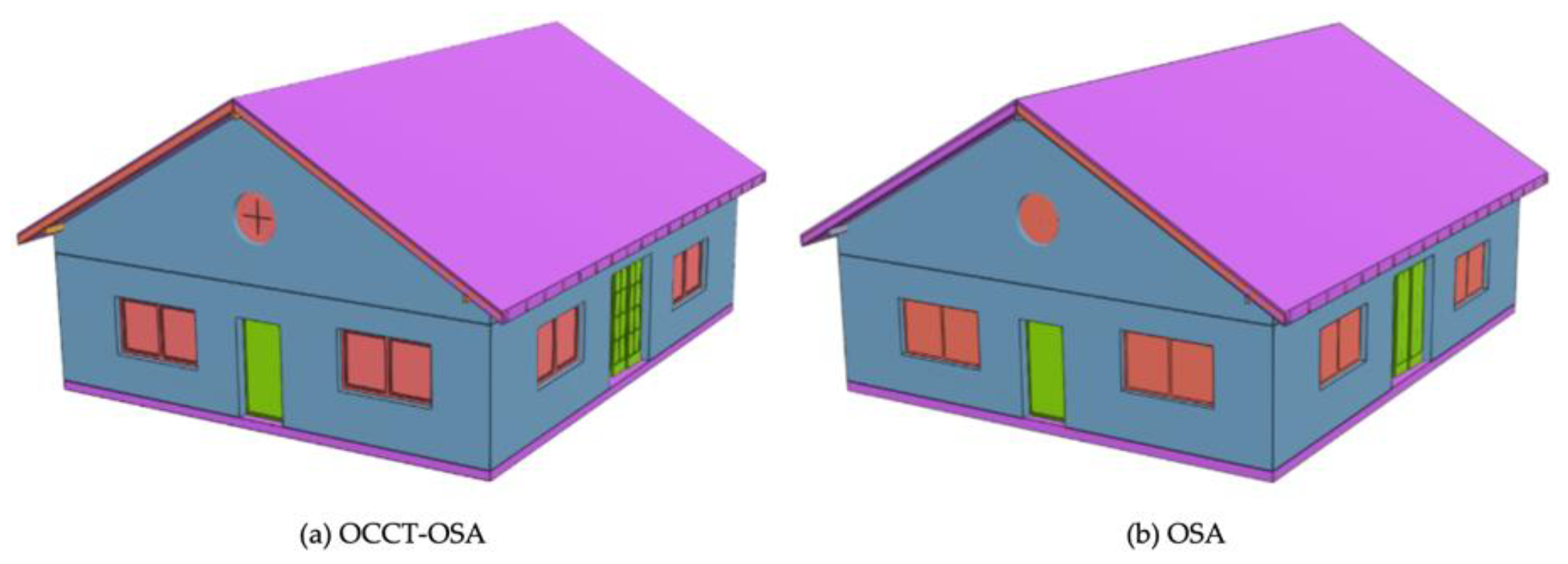
The development of a smart city and digital twin requires the integration of Building Information Modeling (BIM) and Geographic Information Systems (GIS), where BIM models are to be integrated into GIS for visualization and/or analysis. However, the intrinsic differences between BIM and GIS have led to enormous problems in BIM-to-GIS data conversion, and the use of City Geography Markup Language (CityGML) has further escalated this issue. This study aims to facilitate the use of BIM models in GIS by proposing using the shapefile format, and a creative approach for converting Industry Foundation Classes (IFC) to shapefile was developed by integrating a computer graphics technique. Thirteen building models were used to validate the proposed method. The result shows that: (1) the IFC-to-shapefile conversion is easier and more flexible to realize than the IFC-to-CityGML conversion, and (2) the computer graphics technique can improve the efficiency and reliability of BIM-to-GIS data conversion. This study can facilitate the use of BIM information in GIS and benefit studies working on digital twins and smart cities where building models are to be processed and integrated in GIS, or any other studies that need to manipulate IFC geometry in depth.
Keywords: Building Information Modeling (BIM); Geographic Information System (GIS); Industry Foundation Classes (IFC); 3D model; smart city; digital twin Building Information Modeling (BIM); Geographic Information System (GIS); Industry Foundation Classes (IFC); 3D model; smart city; digital twin
Graphical Abstract