Article

Urban Land Cover Classification of High-Resolution Aerial Imagery Using a Relation-Enhanced Multiscale Convolutional Network


1
College of Surveying and Geo-informatics, Tongji University, Shanghai 200092, China
2
Department of Compute Science, Tongji University, Shanghai 201804, China
3
Shanghai Surveying and Mapping Institute, Shanghai 200063, China
*
Author to whom correspondence should be addressed.
Remote Sens. 2020, 12(2), 311; https://doi.org/10.3390/rs12020311
Submission received: 17 December 2019 / Revised: 13 January 2020 / Accepted: 16 January 2020 / Published: 17 January 2020

Abstract

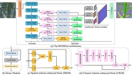
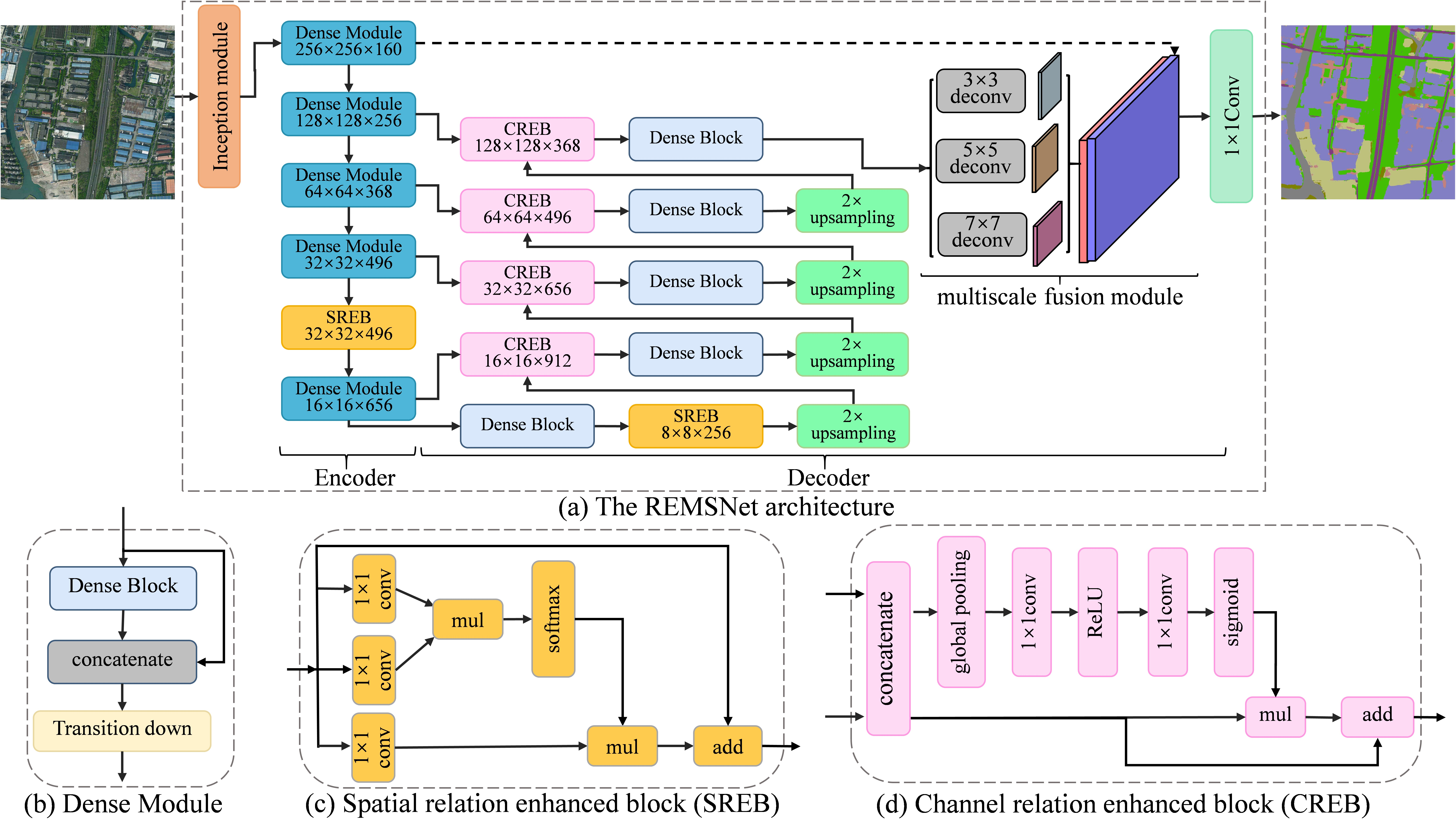
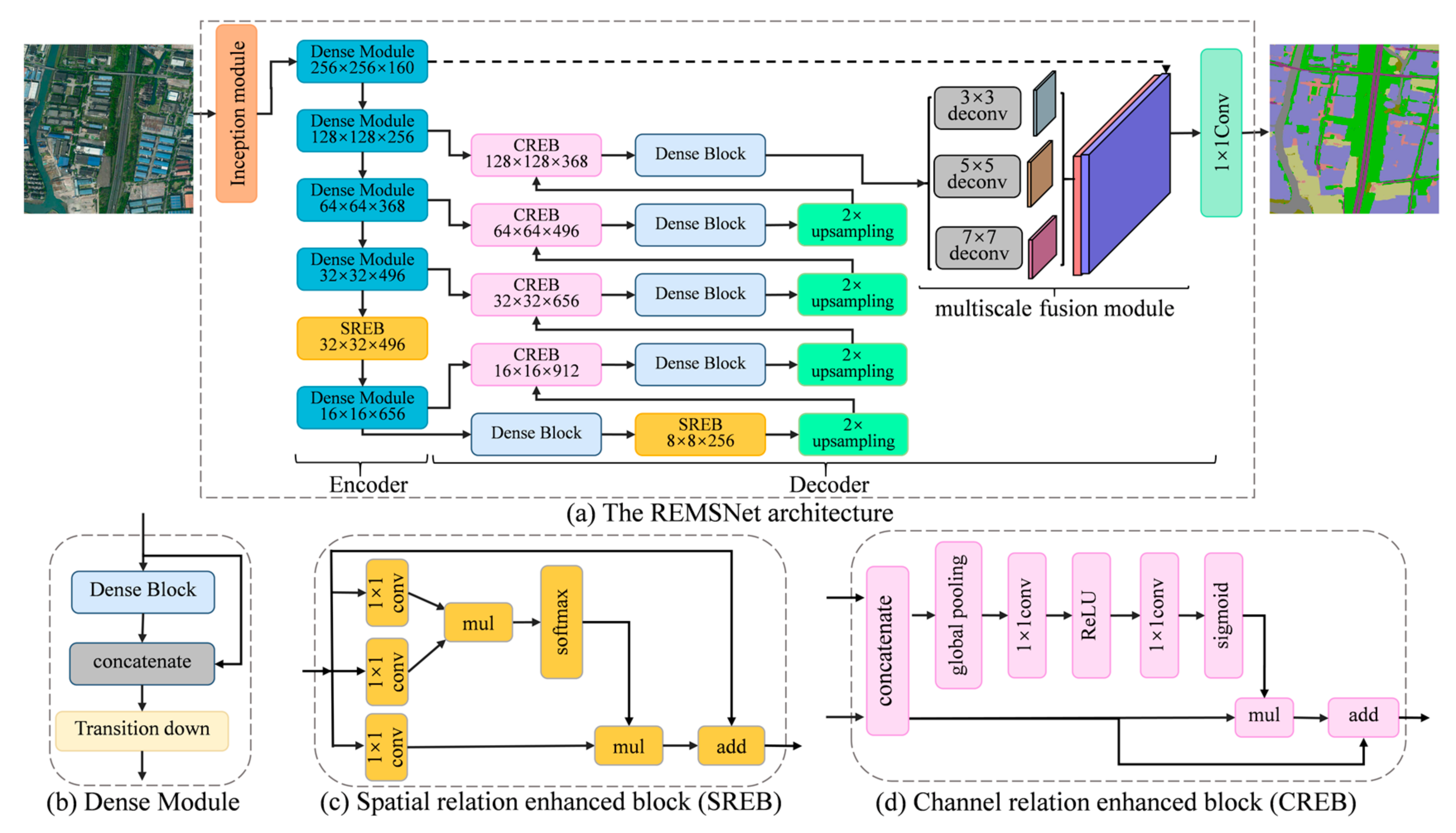
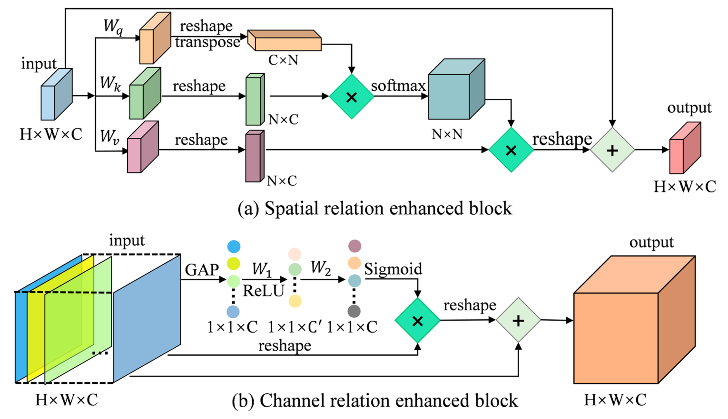
Urban land cover classification for high-resolution images is a fundamental yet challenging task in remote sensing image analysis. Recently, deep learning techniques have achieved outstanding performance in high-resolution image classification, especially the methods based on deep convolutional neural networks (DCNNs). However, the traditional CNNs using convolution operations with local receptive fields are not sufficient to model global contextual relations between objects. In addition, multiscale objects and the relatively small sample size in remote sensing have also limited classification accuracy. In this paper, a relation-enhanced multiscale convolutional network (REMSNet) method is proposed to overcome these weaknesses. A dense connectivity pattern and parallel multi-kernel convolution are combined to build a lightweight and varied receptive field sizes model. Then, the spatial relation-enhanced block and the channel relation-enhanced block are introduced into the network. They can adaptively learn global contextual relations between any two positions or feature maps to enhance feature representations. Moreover, we design a parallel multi-kernel deconvolution module and spatial path to further aggregate different scales information. The proposed network is used for urban land cover classification against two datasets: the ISPRS 2D semantic labelling contest of Vaihingen and an area of Shanghai of about 143 km2. The results demonstrate that the proposed method can effectively capture long-range dependencies and improve the accuracy of land cover classification. Our model obtains an overall accuracy (OA) of 90.46% and a mean intersection-over-union (mIoU) of 0.8073 for Vaihingen and an OA of 88.55% and a mIoU of 0.7394 for Shanghai.
Keywords: urban land cover classification; high-resolution aerial imagery; global contextual information; multiscale fusion urban land cover classification; high-resolution aerial imagery; global contextual information; multiscale fusion
Graphical Abstract