Article

Mapping Spatial Variations of Structure and Function Parameters for Forest Condition Assessment of the Changbai Mountain National Nature Reserve


1
Key Laboratory of Wetland Ecology and Environment, Northeast Institute of Geography and Agroecology, Chinese Academy of Sciences, Changchun 130102, China
2
University of Chinese Academy of Sciences, Beijing 100049, China
3
Department of Natural Resources Science, University of Rhode Island, Kingston, RI 02881, USA
4
National Earth System Science Data Center, Beijing 100101, China
*
Authors to whom correspondence should be addressed.
Remote Sens. 2019, 11(24), 3004; https://doi.org/10.3390/rs11243004
Submission received: 19 October 2019 / Revised: 21 November 2019 / Accepted: 9 December 2019 / Published: 13 December 2019
(This article belongs to the Special Issue Remote Sensing Applications in Monitoring of Protected Areas)

Abstract

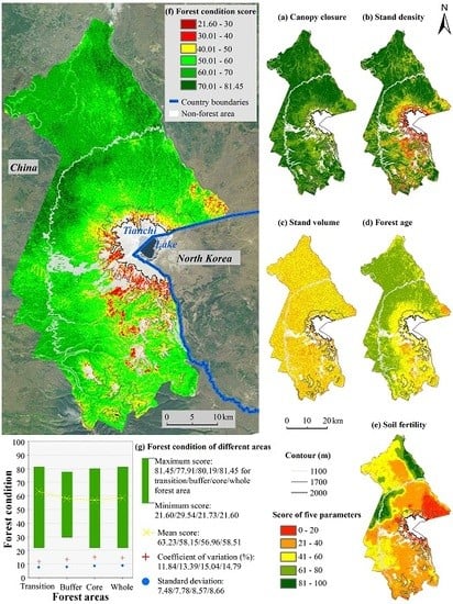
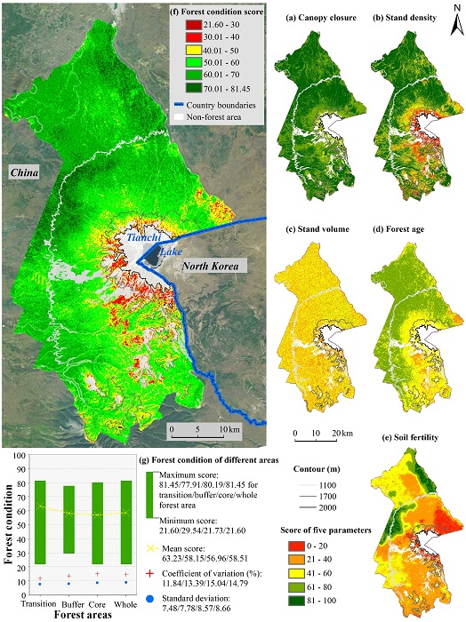
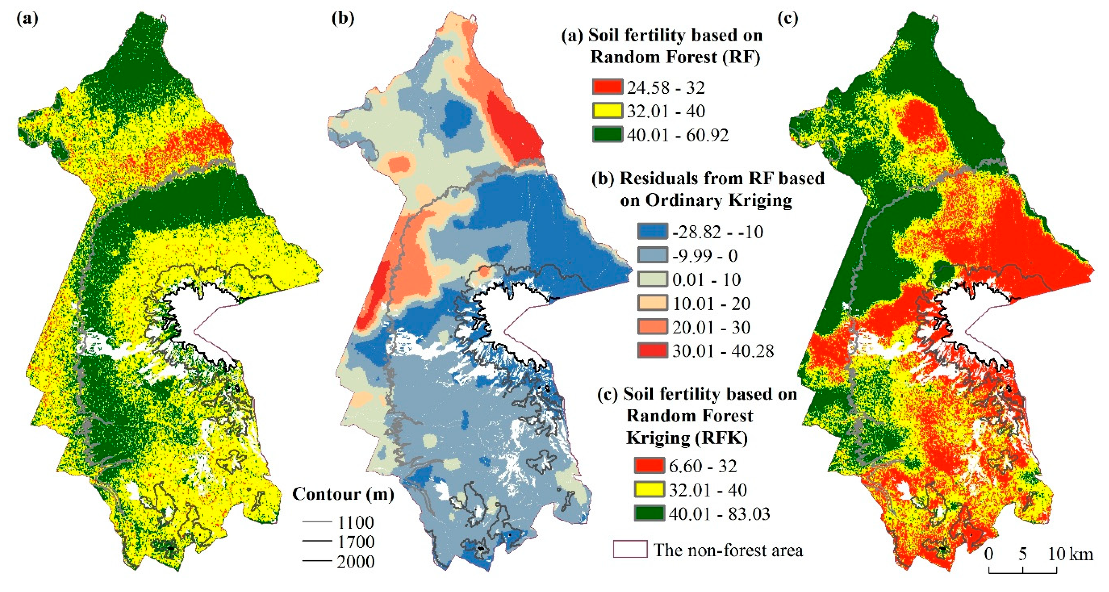
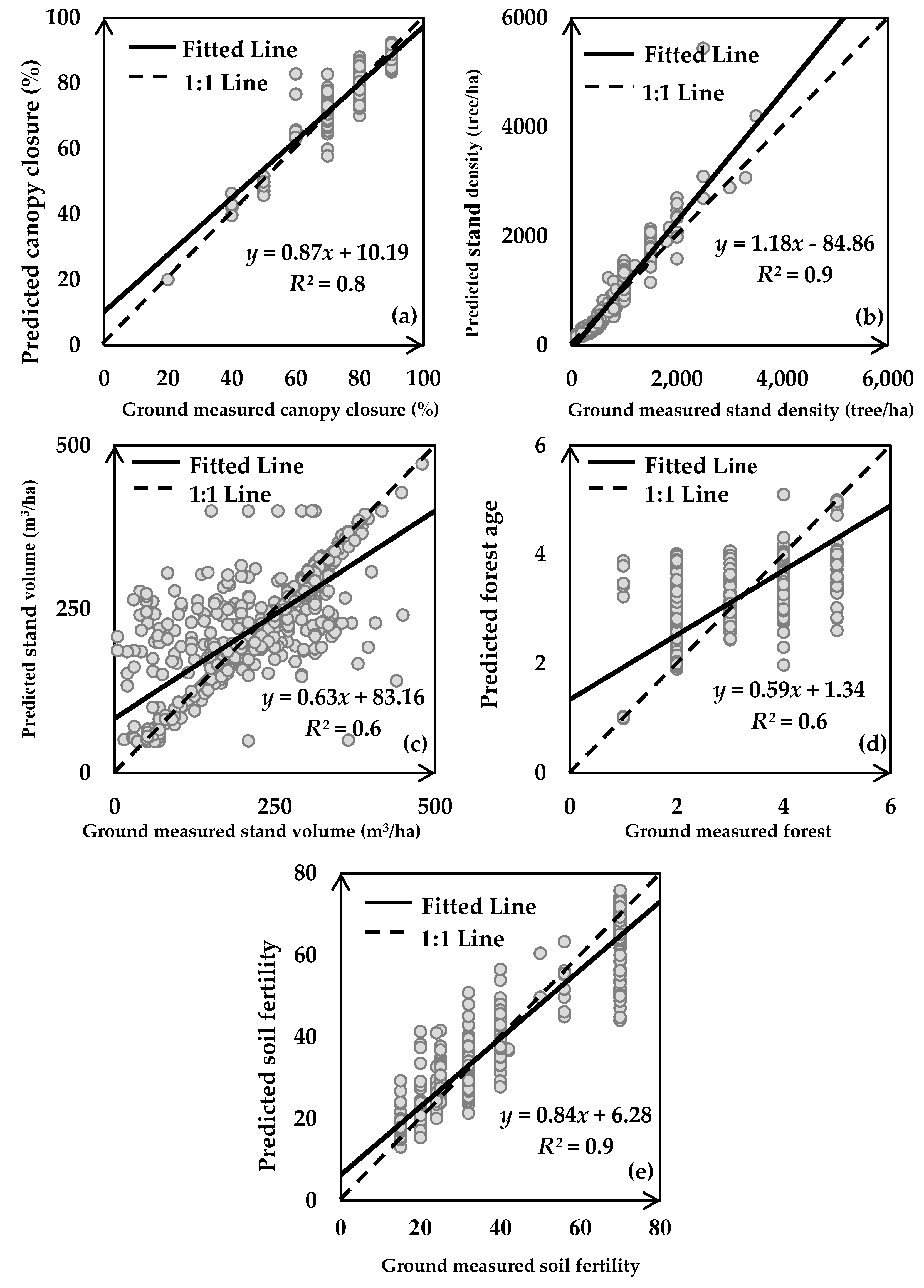
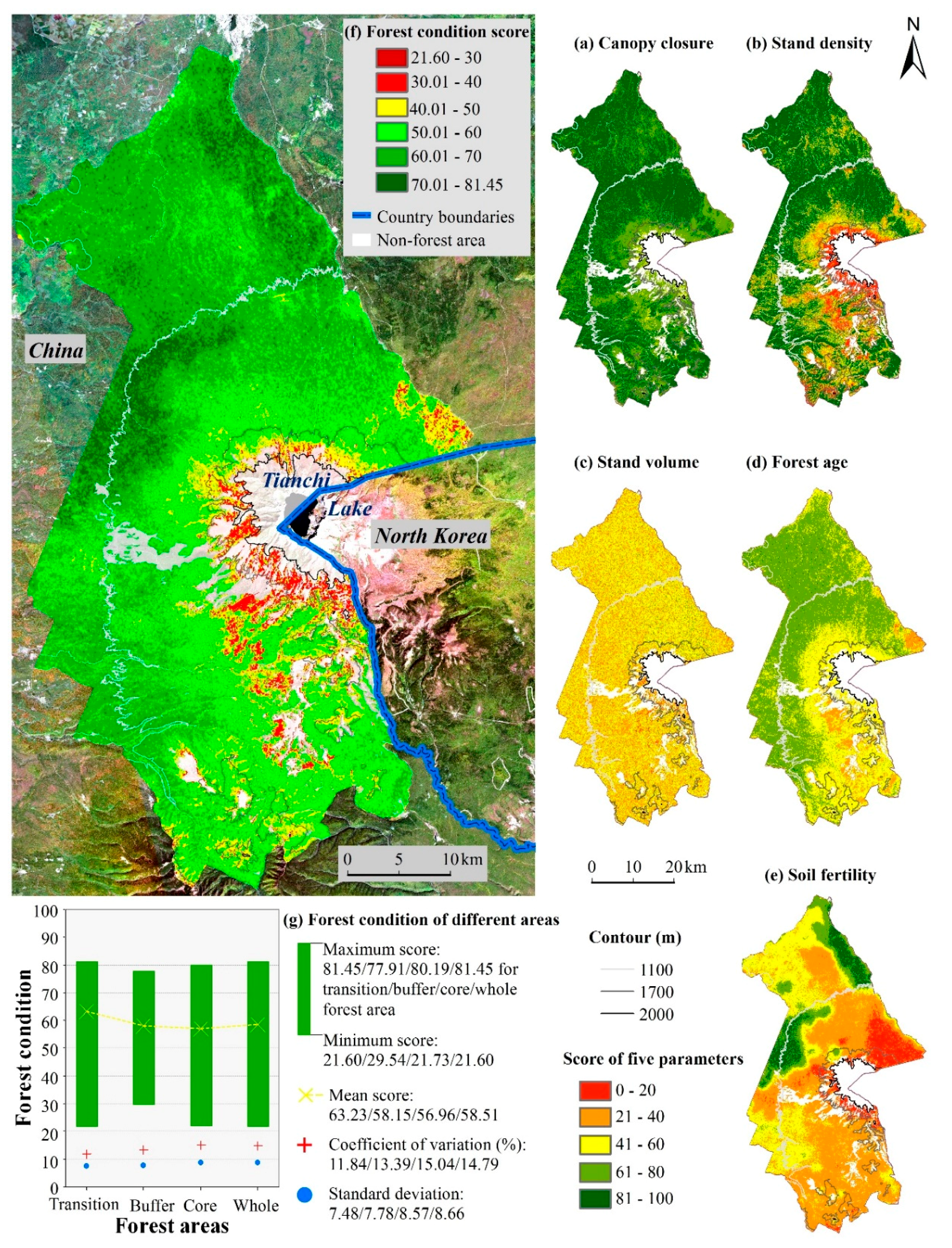
Forest condition is the baseline information for ecological evaluation and management. The National Forest Inventory of China contains structural parameters, such as canopy closure, stand density and forest age, and functional parameters, such as stand volume and soil fertility. Conventionally forest conditions are assessed through parameters collected from field observations, which could be costly and spatially limited. It is crucial to develop modeling approaches in mapping forest assessment parameters from satellite remote sensing. This study mapped structure and function parameters for forest condition assessment in the Changbai Mountain National Nature Reserve (CMNNR). The mapping algorithms, including statistical regression, random forests, and random forest kriging, were employed with predictors from Advanced Land Observing Satellite (ALOS)-2, Sentinel-1, Sentinel-2 satellite sensors, digital surface model of ALOS, and 1803 field sampled forest plots. Combined predicted parameters and weights from principal component analysis, forest conditions were assessed. The models explained spatial dynamics and characteristics of forest parameters based on an independent validation with all r values above 0.75. The root mean square error (RMSE) values of canopy closure, stand density, stand volume, forest age and soil fertility were 4.6%, 33.8%, 29.4%, 20.5%, and 14.3%, respectively. The mean assessment score suggested that forest conditions in the CMNNR are mainly resulted from spatial variations of function parameters such as stand volume and soil fertility. This study provides a methodology on forest condition assessment at regional scales, as well as the up-to-date information for the forest ecosystem in the CMNNR.
Keywords: forest parameter mapping; forest condition assessment; sentinel series; ALOS series; changbai mountain national nature reserve forest parameter mapping; forest condition assessment; sentinel series; ALOS series; changbai mountain national nature reserve
Graphical Abstract