Letter

Mapping Mining Areas in the Brazilian Amazon Using MSI/Sentinel-2 Imagery (2017)


by
Felipe De Lucia Lobo
1,2,*,
Pedro Walfir M. Souza-Filho
1,3,
Evlyn Márcia Leão de Moraes Novo
2,
Felipe Menino Carlos
4 and
Claudio Clemente Faria Barbosa
4
1
Instituto Tecnológico Vale, Rua Boaventura da Silva, 955, Belém, PA 66055-090, Brazil
2
Remote Sensing Division, National Institute for Space Research (INPE), Av. dos Astronautas 1758, São José dos Campos, SP 12227-010, Brazil
3
Geosciences Institute, Universidade Federal do Pará, Rua Augusto Correa 1, Belém, PA 66075-110, Brazil
4
Image Processing Division, National Institute for Space Research (INPE), Av. dos Astronautas 1758, São José dos Campos, SP 12227-010, Brazil
*
Author to whom correspondence should be addressed.
Remote Sens. 2018, 10(8), 1178; https://doi.org/10.3390/rs10081178
Submission received: 27 June 2018 / Revised: 13 July 2018 / Accepted: 20 July 2018 / Published: 25 July 2018
(This article belongs to the Collection Google Earth Engine Applications)

Abstract

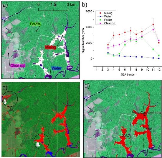
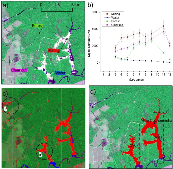
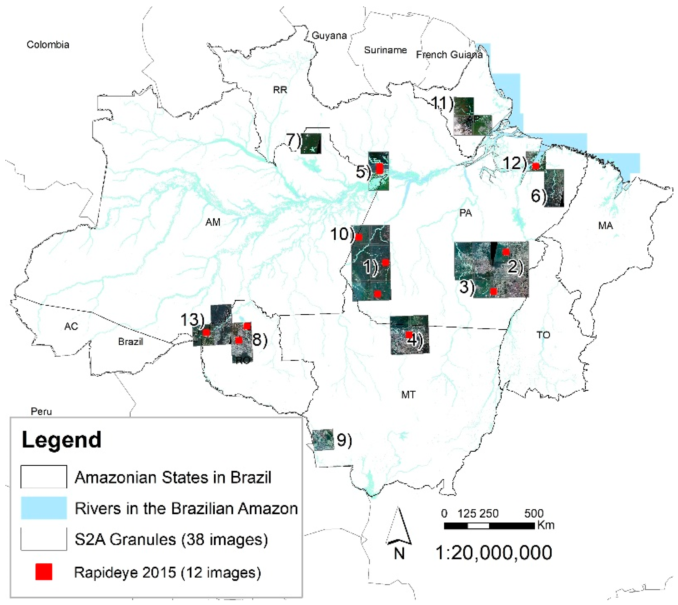
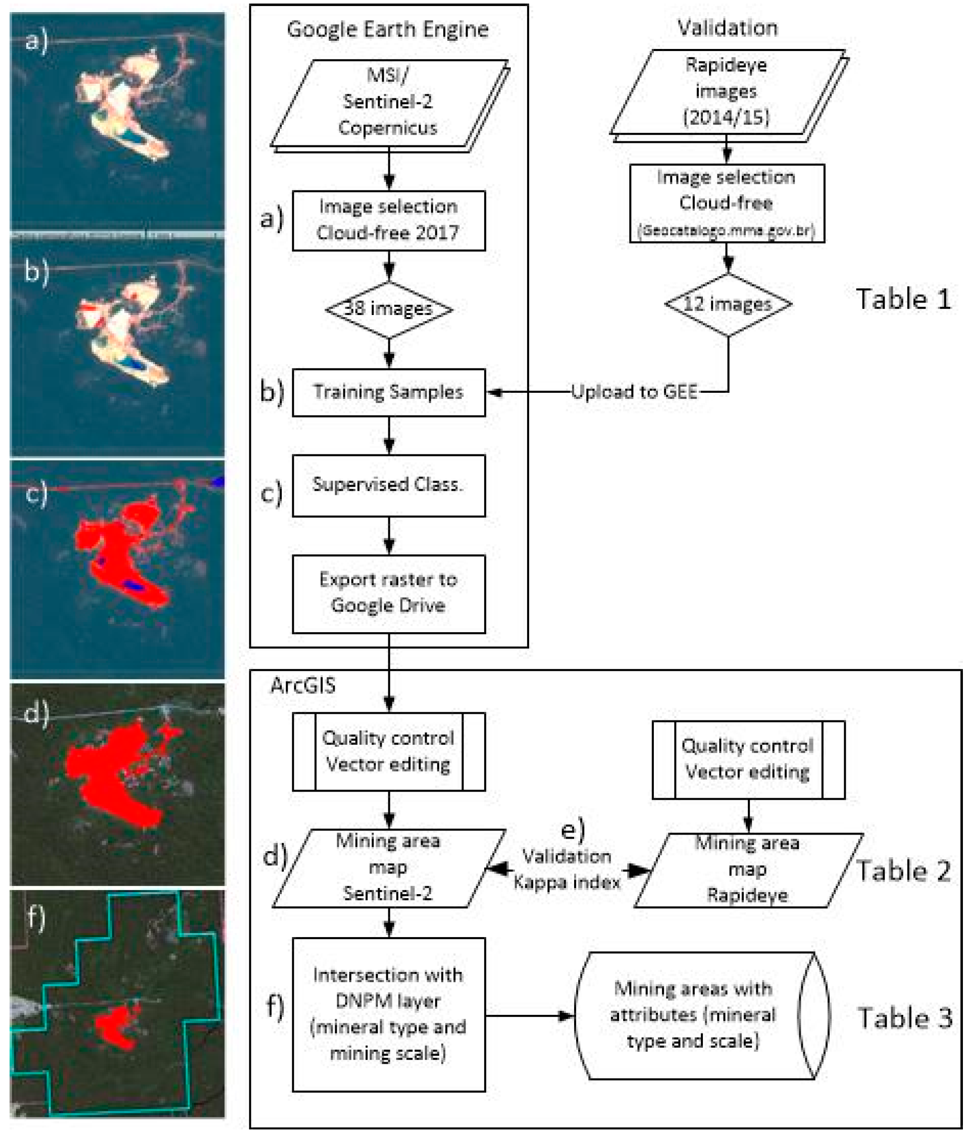
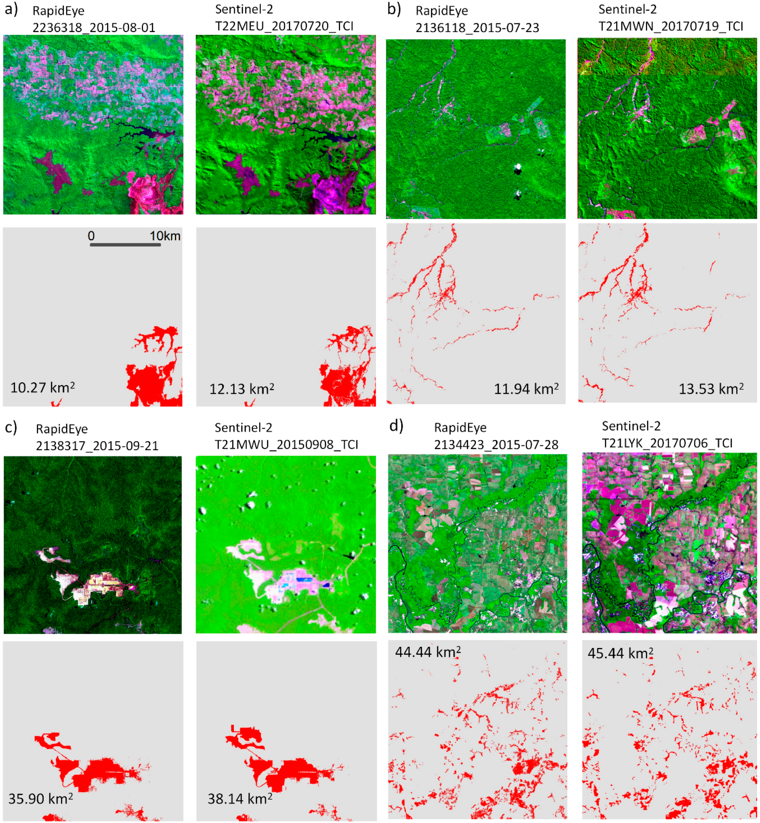
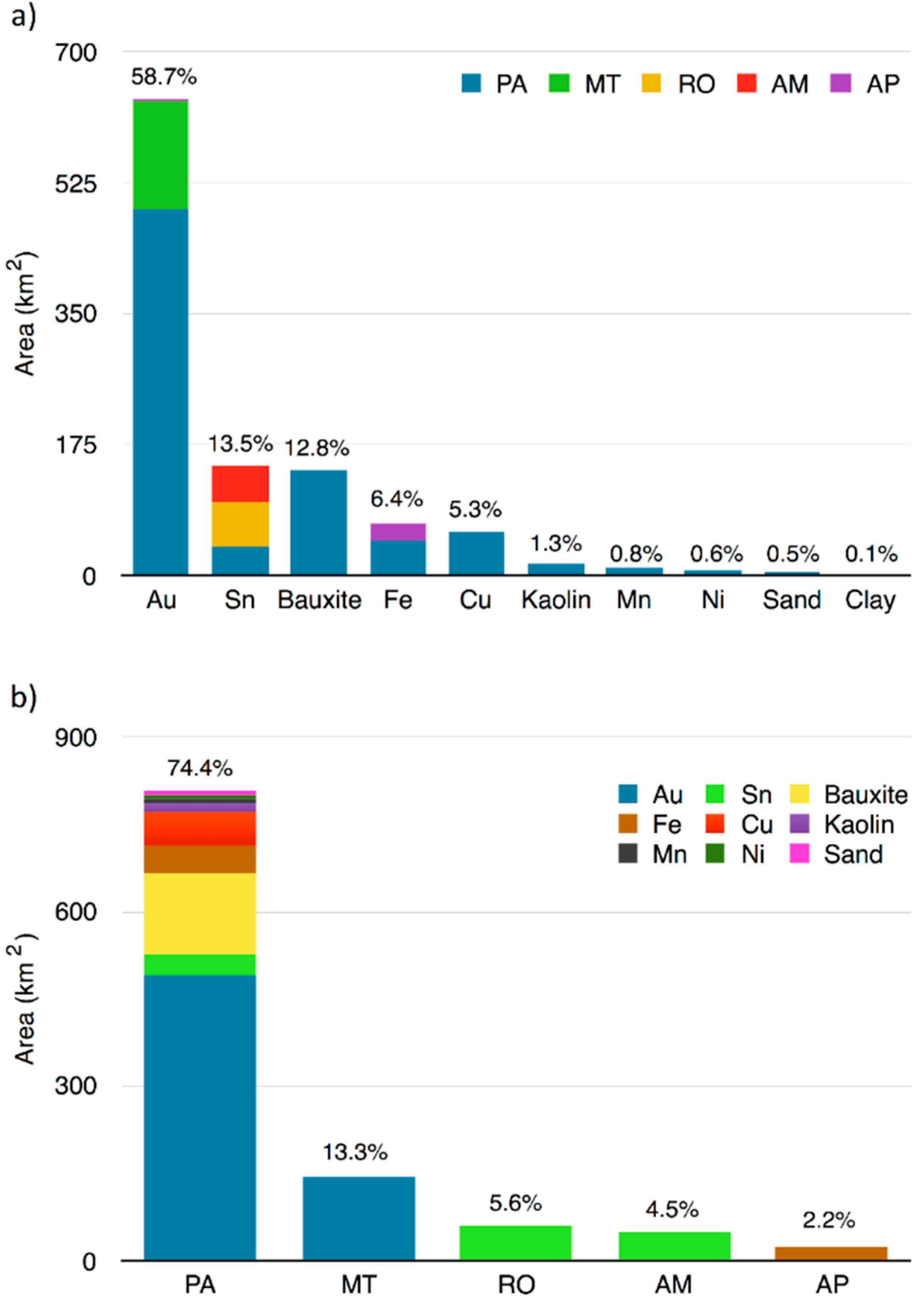
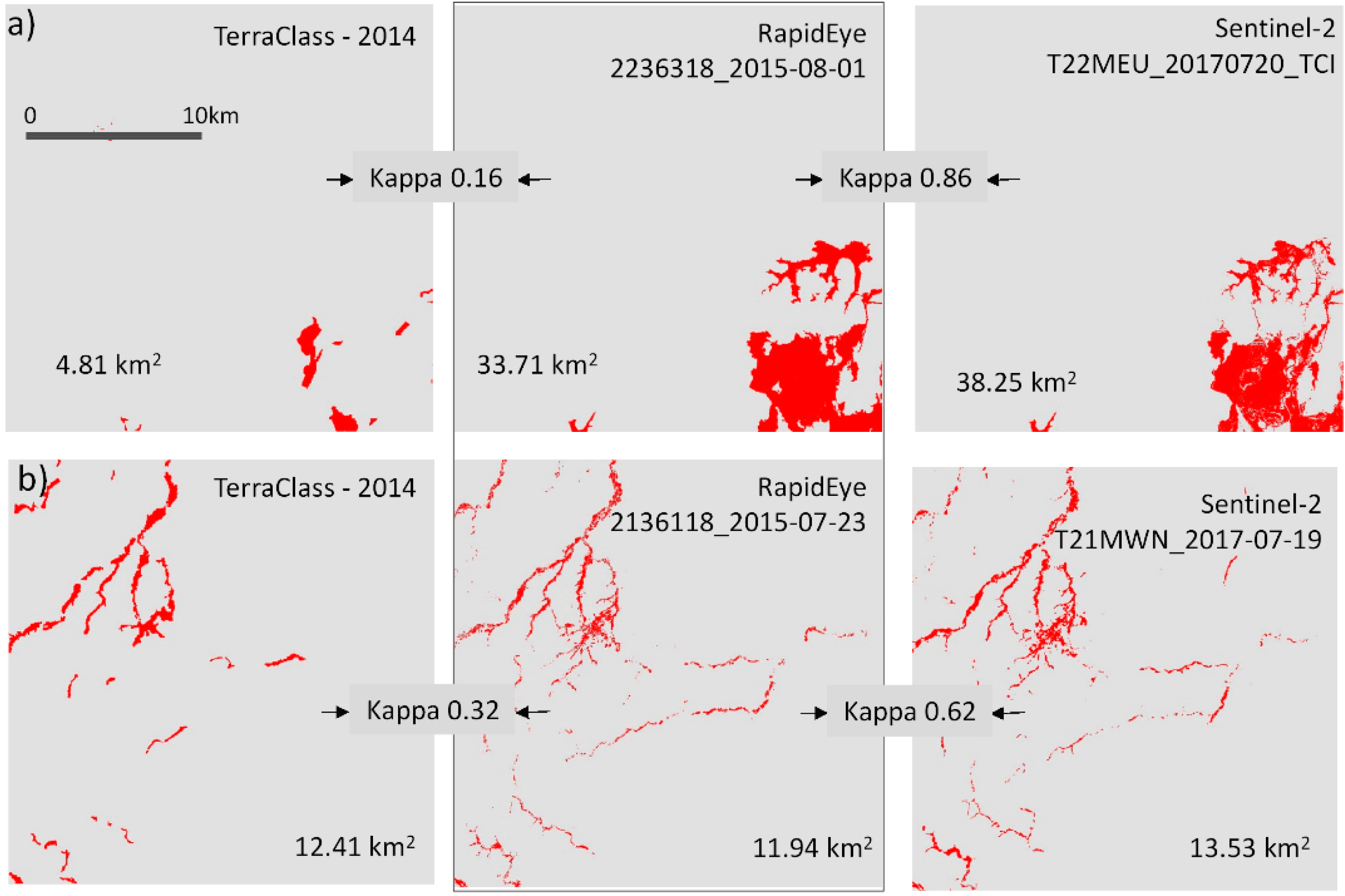
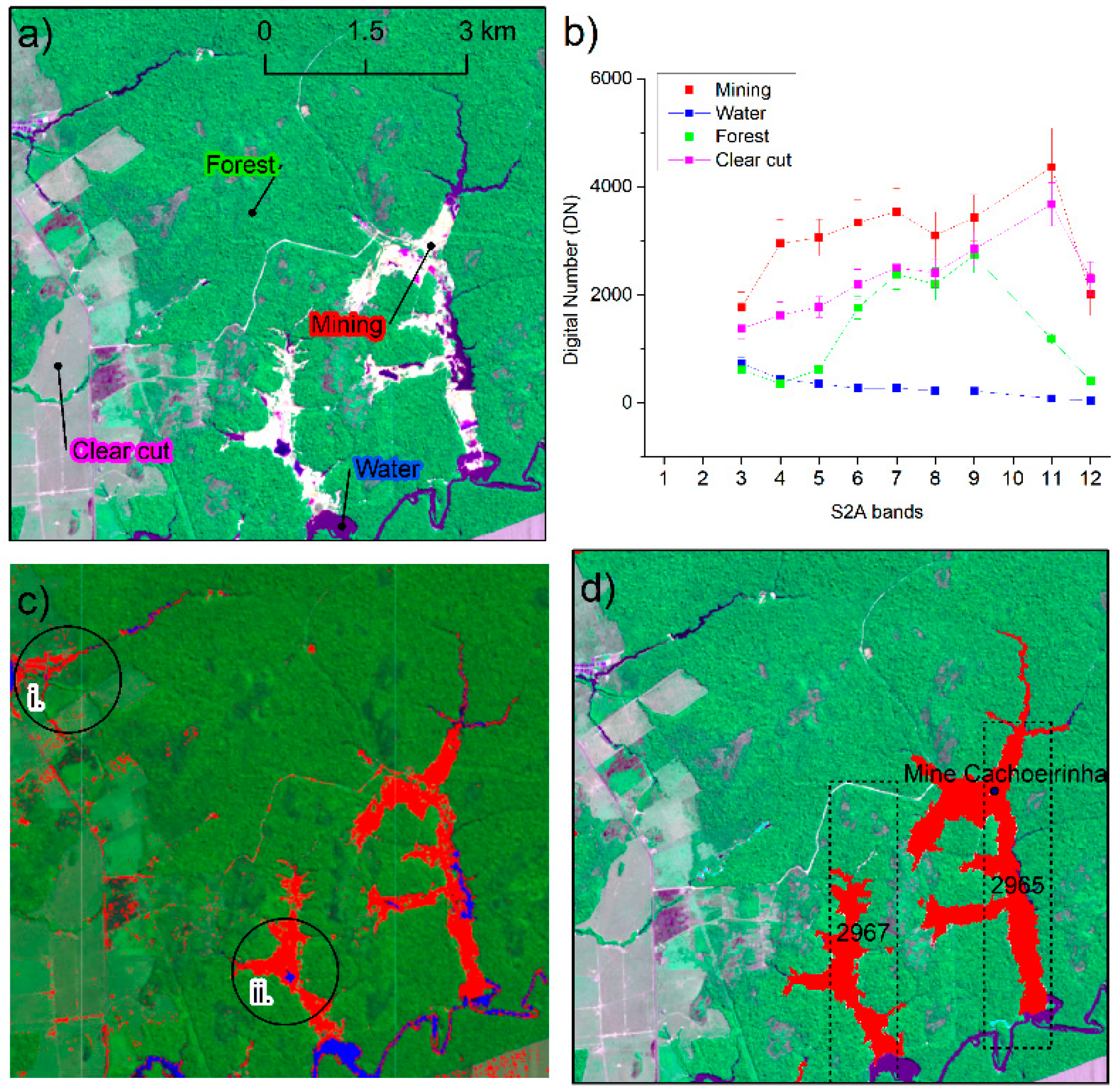
Although mining plays an important role for the economy of the Amazon, little is known about its attributes such as area, type, scale, and current status as well as socio/environmental impacts. Therefore, we first propose a low time-consuming and high detection accuracy method for mapping the current mining areas within 13 regions of the Brazilian Amazon using Sentinel-2 images. Then, integrating the maps in a GIS (Geography Information System) environment, mining attributes for each region were further assessed with the aid of the DNPM (National Department for Mineral Production) database. Detection of the mining area was conducted in five main steps. (a) MSI (MultiSpectral Instrument)/Sentinel-2A (S2A) image selection; (b) definition of land-use classes and training samples; (c) supervised classification; (d) vector editing for quality control; and (e) validation with high-resolution RapidEye images (Kappa = 0.70). Mining areas derived from validated S2A classification totals 1084.7 km2 in the regions analyzed. Small-scale mining comprises up to 64% of total mining area detected comprises mostly gold (617.8 km2), followed by tin mining (73.0 km2). The remaining 36% is comprised by industrial mining such as iron (47.8), copper (55.5) and manganese (8.9 km2) in Carajás, bauxite in Trombetas (78.4) and Rio Capim (48.5 km2). Given recent events of mining impacts, the large extension of mining areas detected raises a concern regarding its socio-environmental impacts for the Amazonian ecosystems and for local communities.
Keywords: small-scale mining; industrial mining; google engine; image classification; land-use cover change small-scale mining; industrial mining; google engine; image classification; land-use cover change
Graphical Abstract