Article

Prediction of Drought on Pentad Scale Using Remote Sensing Data and MJO Index through Random Forest over East Asia


1
School of Urban and Environmental Engineering, Ulsan National Institute of Science and Technology (UNIST), Ulsan 44919, Korea
2
Satellite Application Division, Korea Aerospace Institute (KARI), Daejeon 34133, Korea
*
Author to whom correspondence should be addressed.
Remote Sens. 2018, 10(11), 1811; https://doi.org/10.3390/rs10111811
Submission received: 31 August 2018 / Revised: 4 November 2018 / Accepted: 13 November 2018 / Published: 15 November 2018
(This article belongs to the Special Issue Remote Sensing of Drought Monitoring)

Abstract

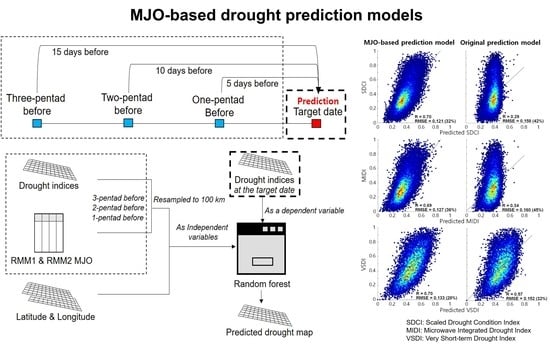
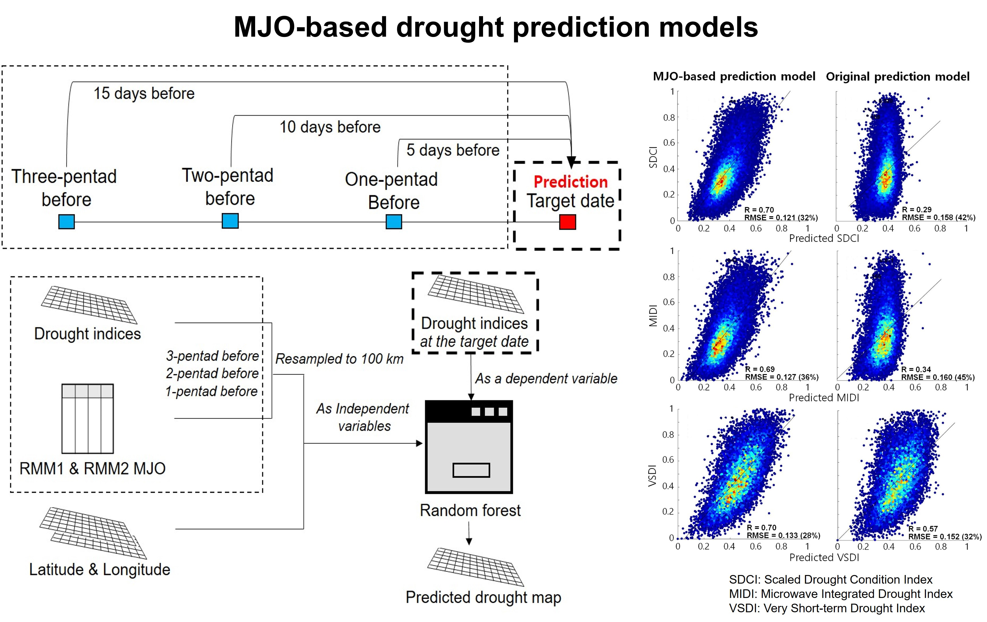
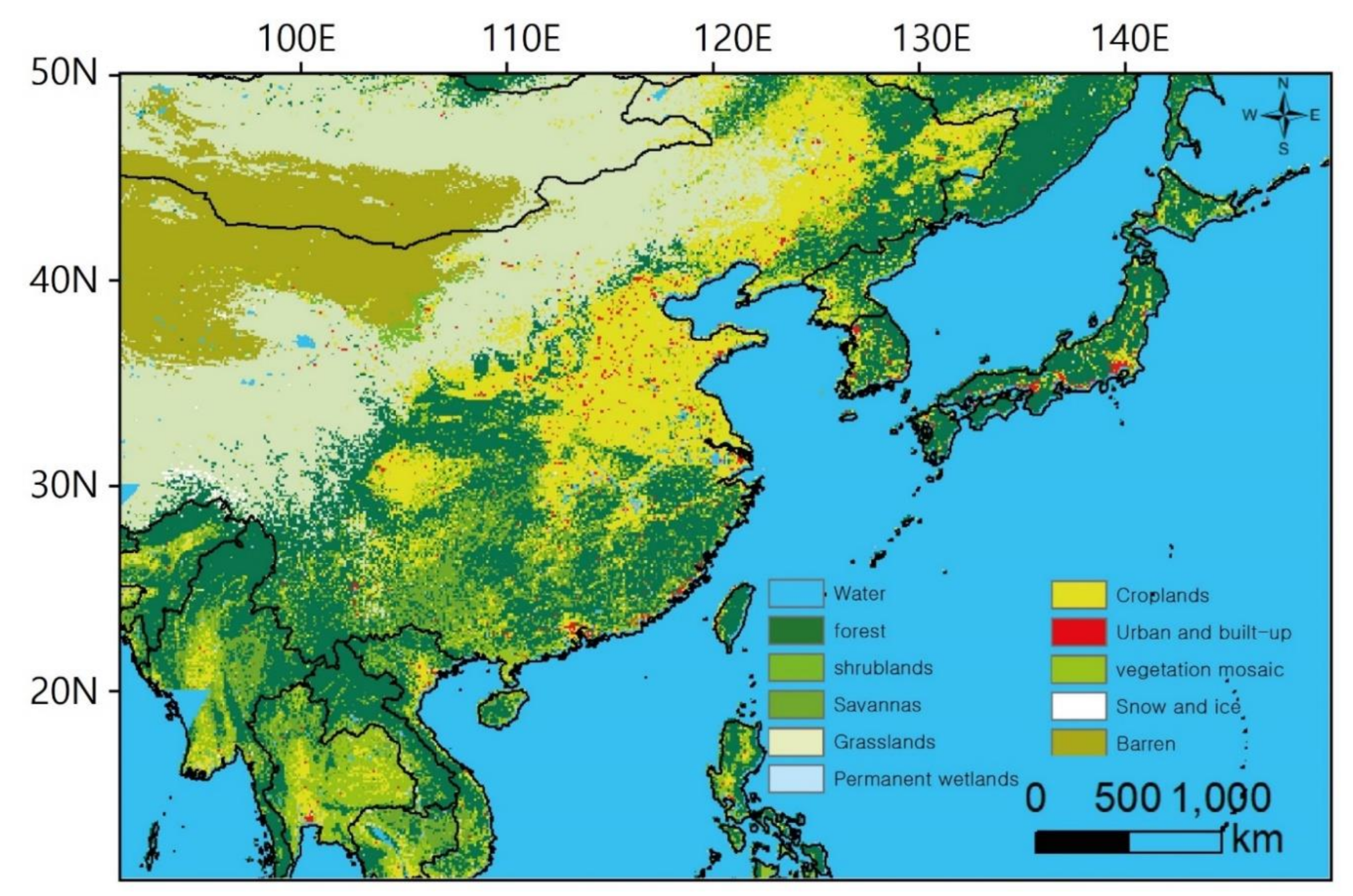
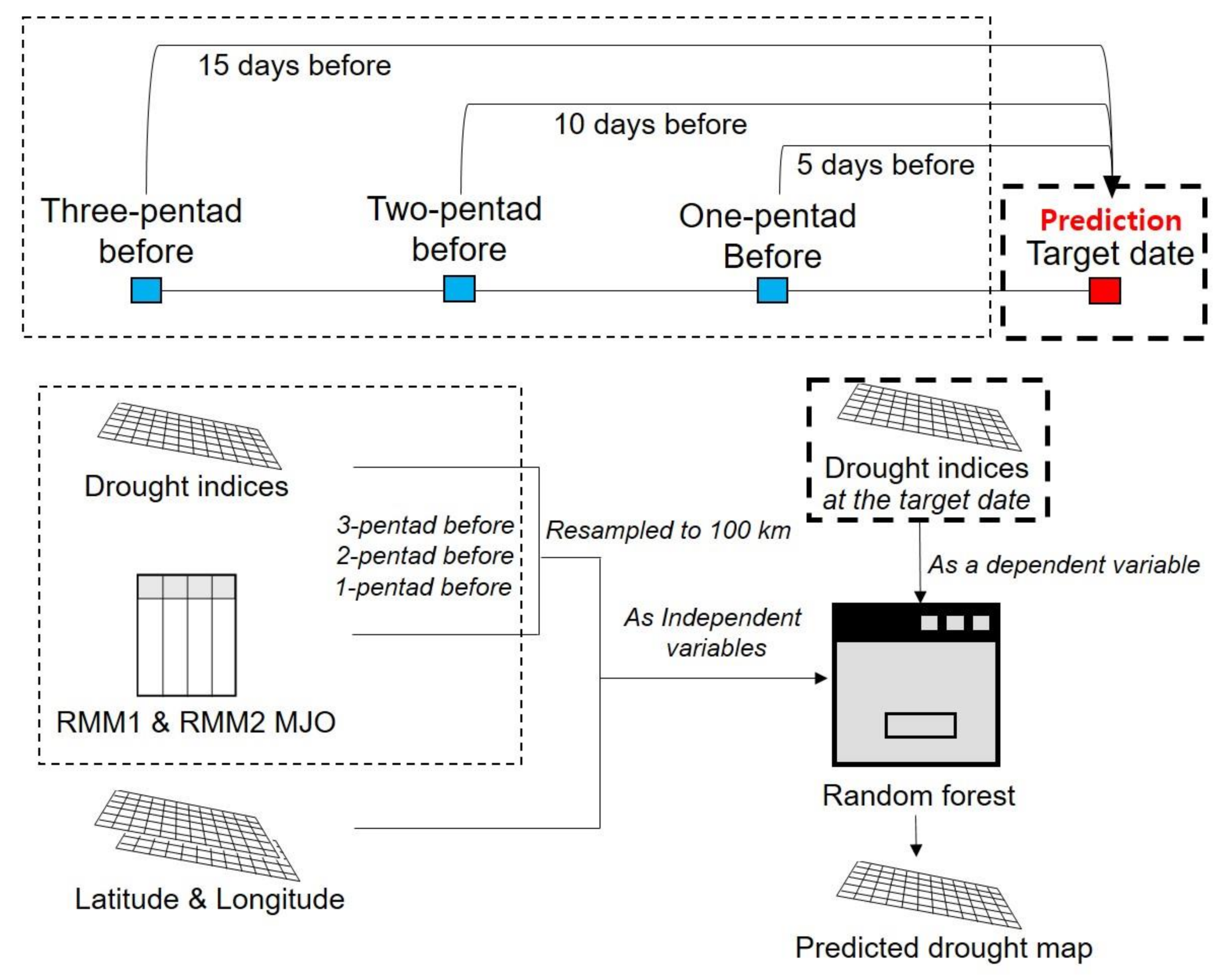
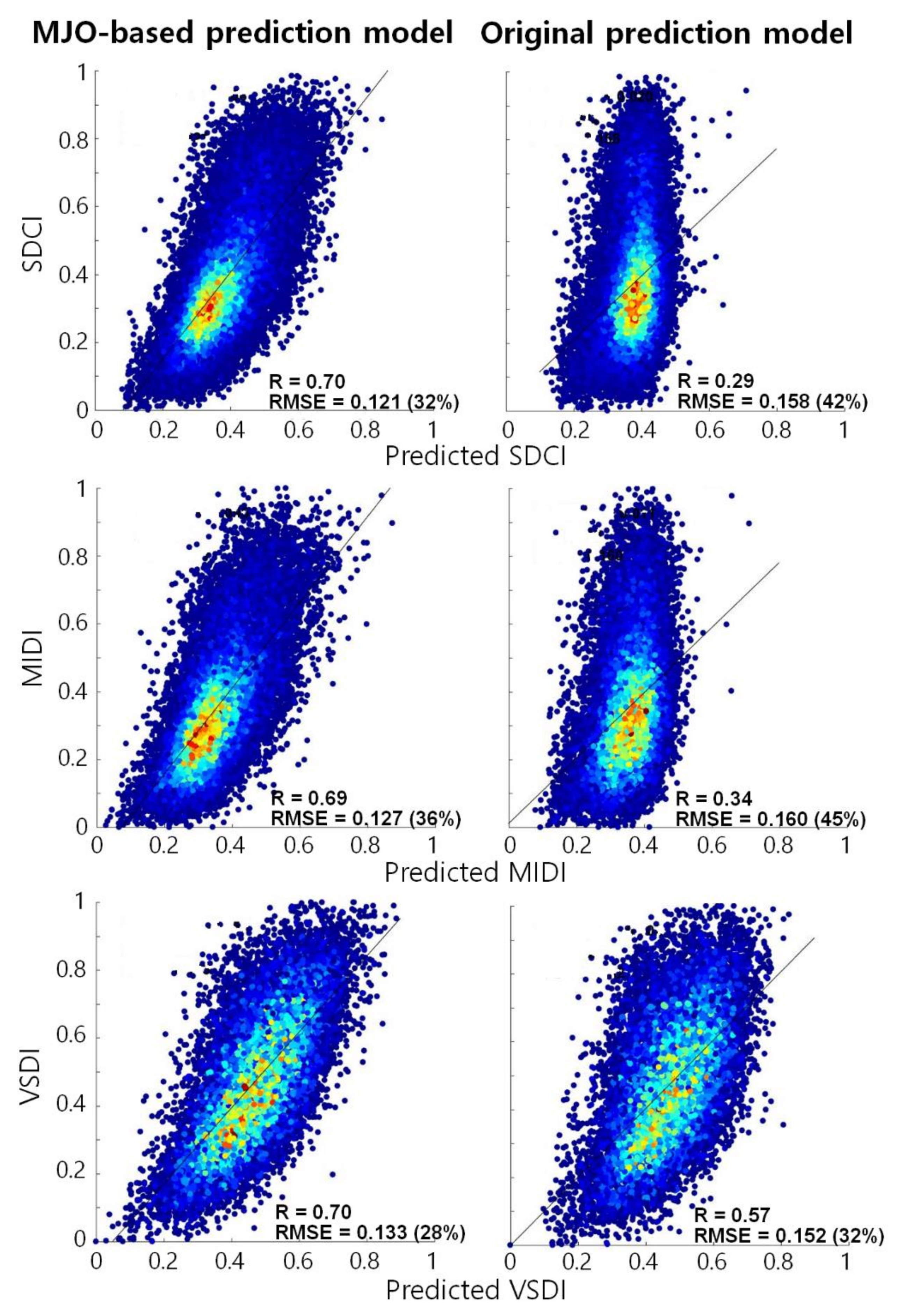
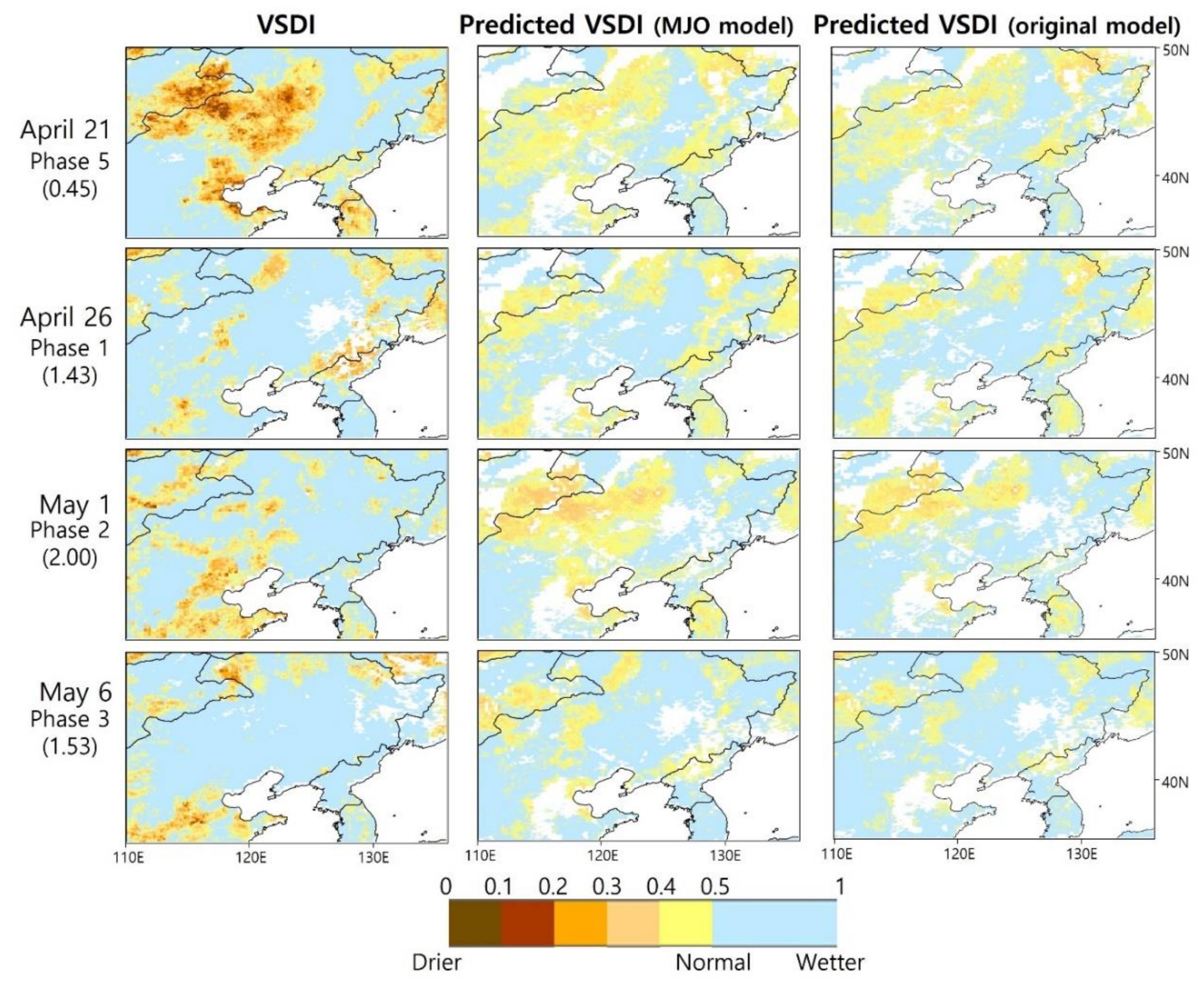
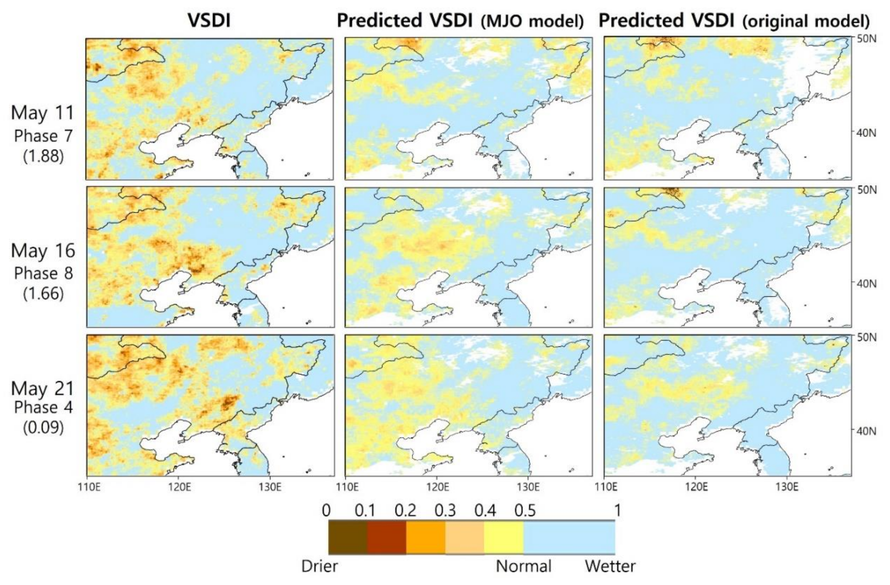
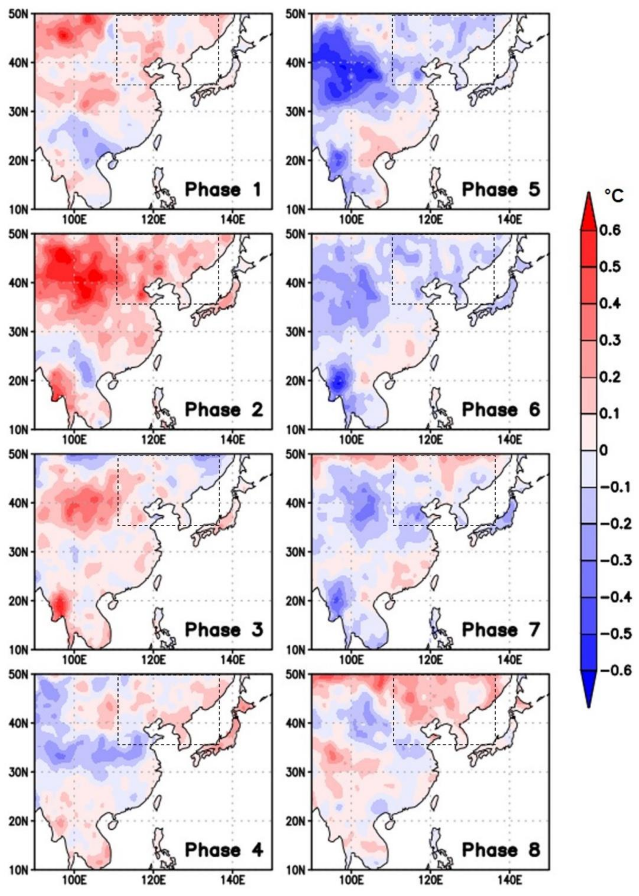
Rapidly developing droughts, including flash droughts, have frequently occurred throughout East Asia in recent years, causing significant damage to agricultural ecosystems. Although many drought monitoring and warning systems have been developed in recent decades, the short-term prediction of droughts (within 10 days) is still challenging. This study has developed drought prediction models for a short-period of time (one pentad) using remote-sensing data and climate variability indices over East Asia (20°–50°N, 90°–150°E) through random forest machine learning. Satellite-based drought indices were calculated using the European Space Agency (ESA) Climate Change Initiative (CCI) soil moisture, Tropical Rainfall Measuring Mission (TRMM) precipitation, Moderate Resolution Imaging Spectroradiometer (MODIS) land surface temperature (LST), and normalized difference vegetation index (NDVI). The real-time multivariate (RMM) Madden–Julian oscillation (MJO) indices were used because the MJO is a short timescale climate variability and has important implications for droughts in East Asia. The validation results show that those drought prediction models with the MJO variables (r ~ 0.7 on average) outperformed the original models without the MJO variables (r ~ 0.4 on average). The predicted drought index maps showed similar spatial distribution to actual drought index maps. In particular, the MJO-based models captured sudden changes in drought conditions well, from normal/wet to dry or dry to normal/wet. Since the developed models can produce drought prediction maps at high resolution (5 km) for a very short timescale (one pentad), they are expected to provide decision makers with more accurate information on rapidly changing drought conditions.
Keywords: drought prediction; MJO; random forest; East Asia drought prediction; MJO; random forest; East Asia
Graphical Abstract