Article

Calculation Method of Material Accumulation Rate at the Front of Trunk Glaciers Based on Satellite Monitoring

1
PowerChina Northwest Engineering Corporation Limited, Xi’an 710065, China
2
Institute of Mountain Hazards and Environment, Chinese Academy of Sciences, Chengdu 610213, China
3
State Key Laboratory of Hydroscience and Engineering, Tsinghua University, Beijing 100190, China
*
Author to whom correspondence should be addressed.
Sustainability 2024, 16(1), 284; https://doi.org/10.3390/su16010284
Submission received: 30 October 2023 / Revised: 24 November 2023 / Accepted: 29 November 2023 / Published: 28 December 2023

Abstract

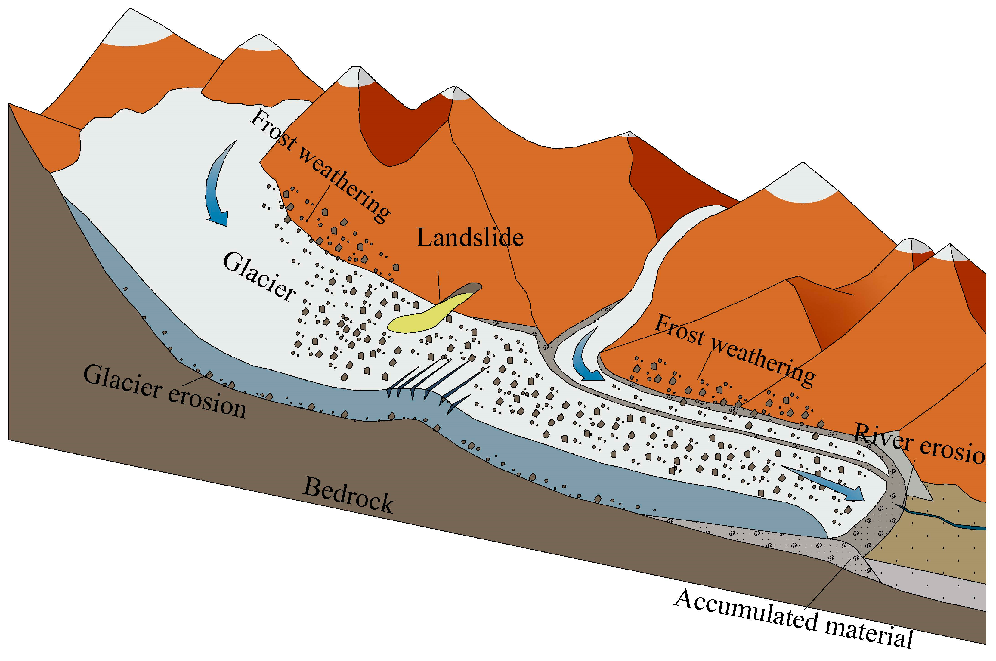
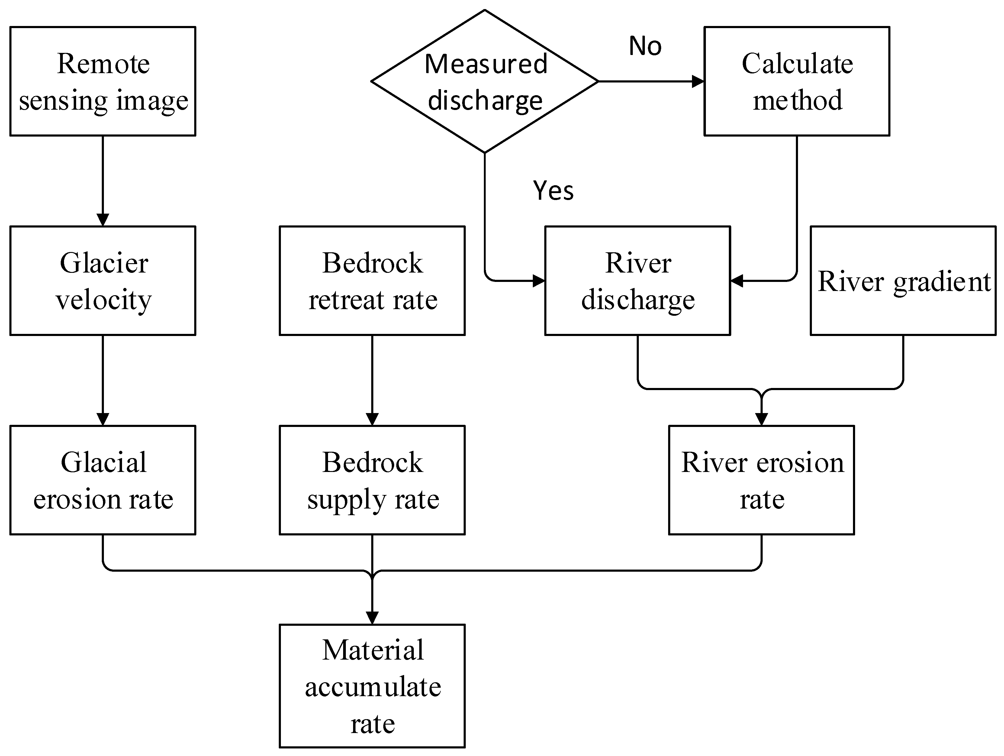
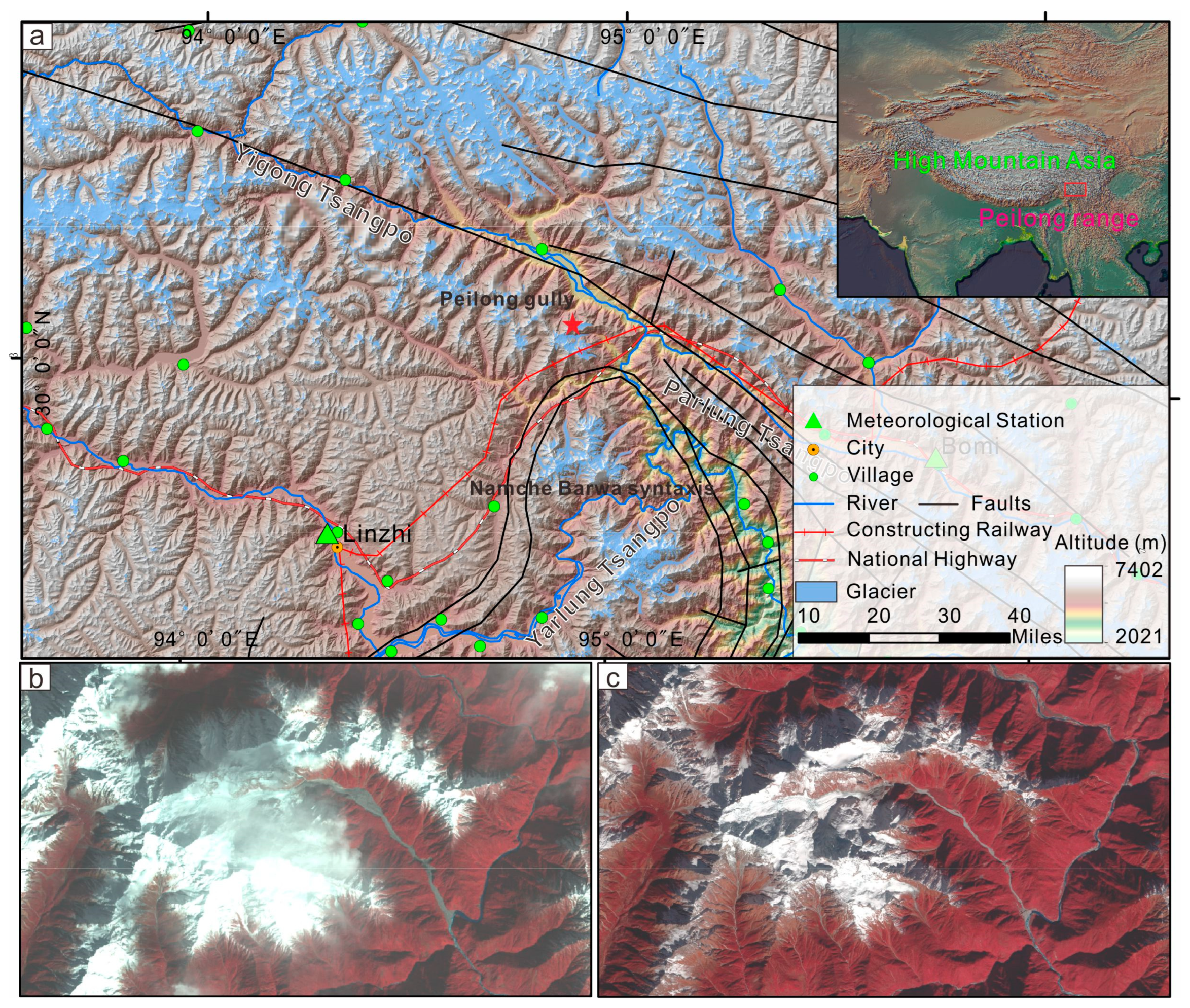
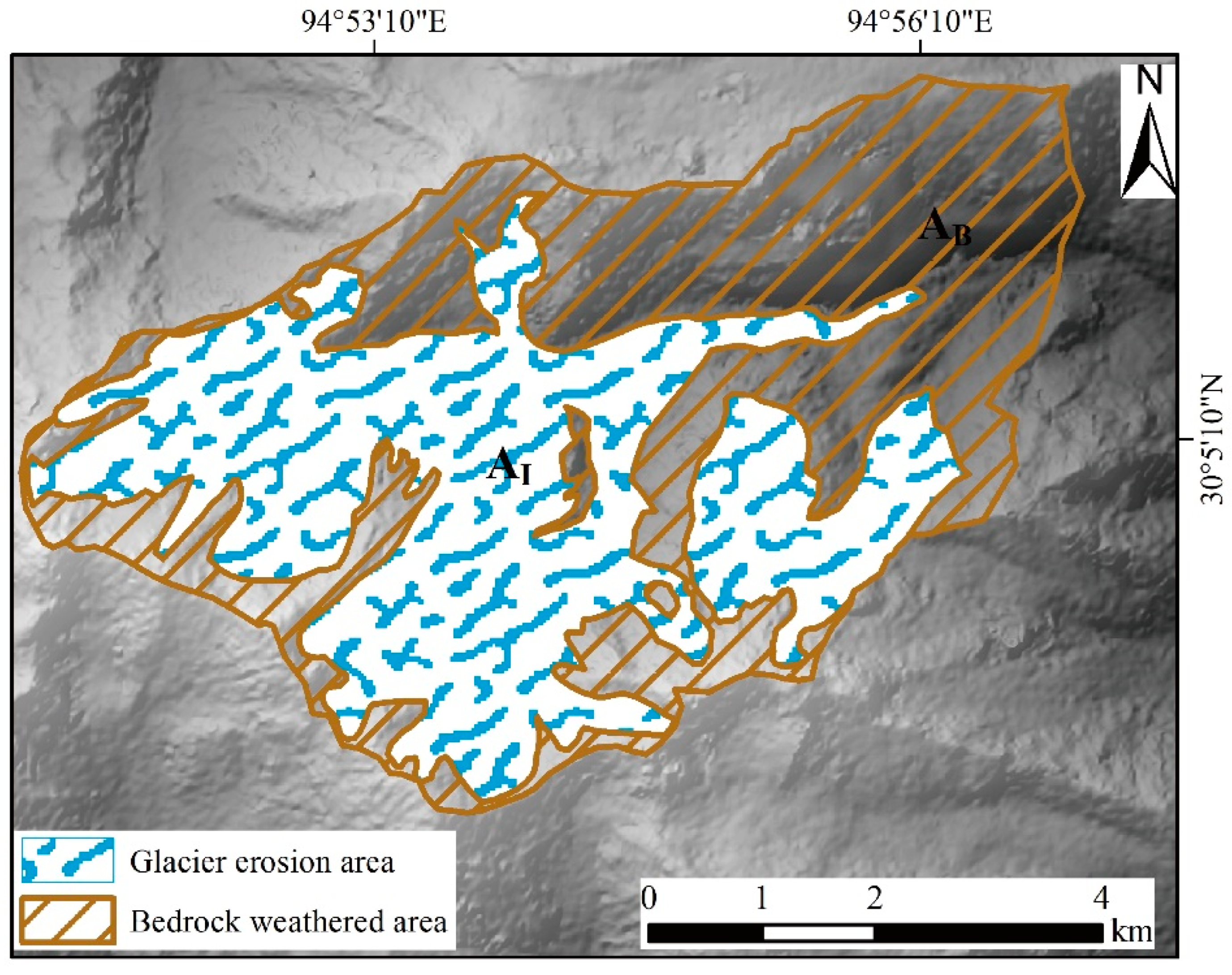
Glaciers continue to erode and transport material, forming an accumulation area at the front of the glacier. The trunk glacier, which has many tributary glaciers upstream and converges on the main channel, deposits vast amounts of material in the main channel. It blocks the main channel, forming barrier lakes, and eventually turns into mountain disasters, such as debris flows or outburst floods. Therefore, the accumulation rate of the material is a major parameter in such disasters and can determine the frequency of disasters. The material usually comes from bedrock erosion by glaciers, weathering of bedrock walls, and upstream landslides, and the material loss depends on river erosion. Based on this, we set up a method to calculate the material accumulation rate in the glacier front based on satellite images. Then, the Peilong catchment was taken as an example to validate the proposed method. The results indicate that climatic fluctuations may increase landslides, resulting in more actual accumulation than the calculated value according to the average rate of bedrock retreat. The material provided by the retreat of bedrock accounts for 92% of the total volume. Our method provides a practical reference for the mid- and long-term prediction of glacial catastrophic mass movement, as global warming seriously threatens glacier instability and downstream communities.
Keywords: material accumulation rate; glacier erosion; bedrock regression; river erosion; satellite monitoring material accumulation rate; glacier erosion; bedrock regression; river erosion; satellite monitoring