Article

Spatial Assessment of Urban Climate Change Vulnerability during Different Urbanization Phases

1
Department of Environmental Science and Engineering, Fudan University, Shanghai 200433, China
2
Big Data Institute for Carbon Emission and Environmental Pollution, Fudan University, Shanghai 200433, China
3
Shanghai Institute of Eco-Chongming (SIEC), Shanghai 200062, China
4
School of Geography and Tourism, Anhui Normal University, Wuhu 241000, China
*
Authors to whom correspondence should be addressed.
Sustainability 2019, 11(8), 2406; https://doi.org/10.3390/su11082406
Submission received: 7 March 2019 / Revised: 11 April 2019 / Accepted: 12 April 2019 / Published: 23 April 2019
(This article belongs to the Section Sustainability in Geographic Science)

Abstract

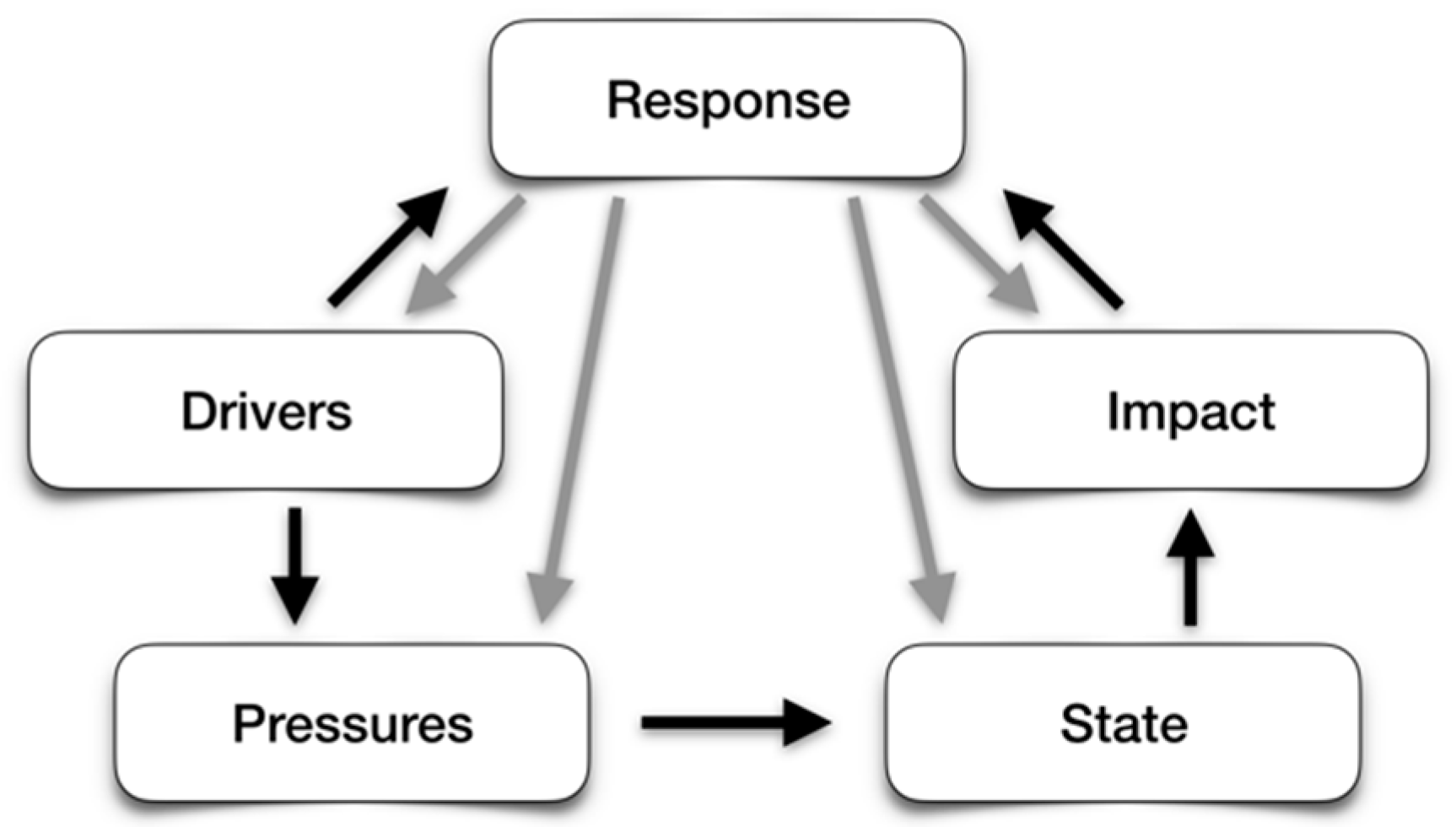
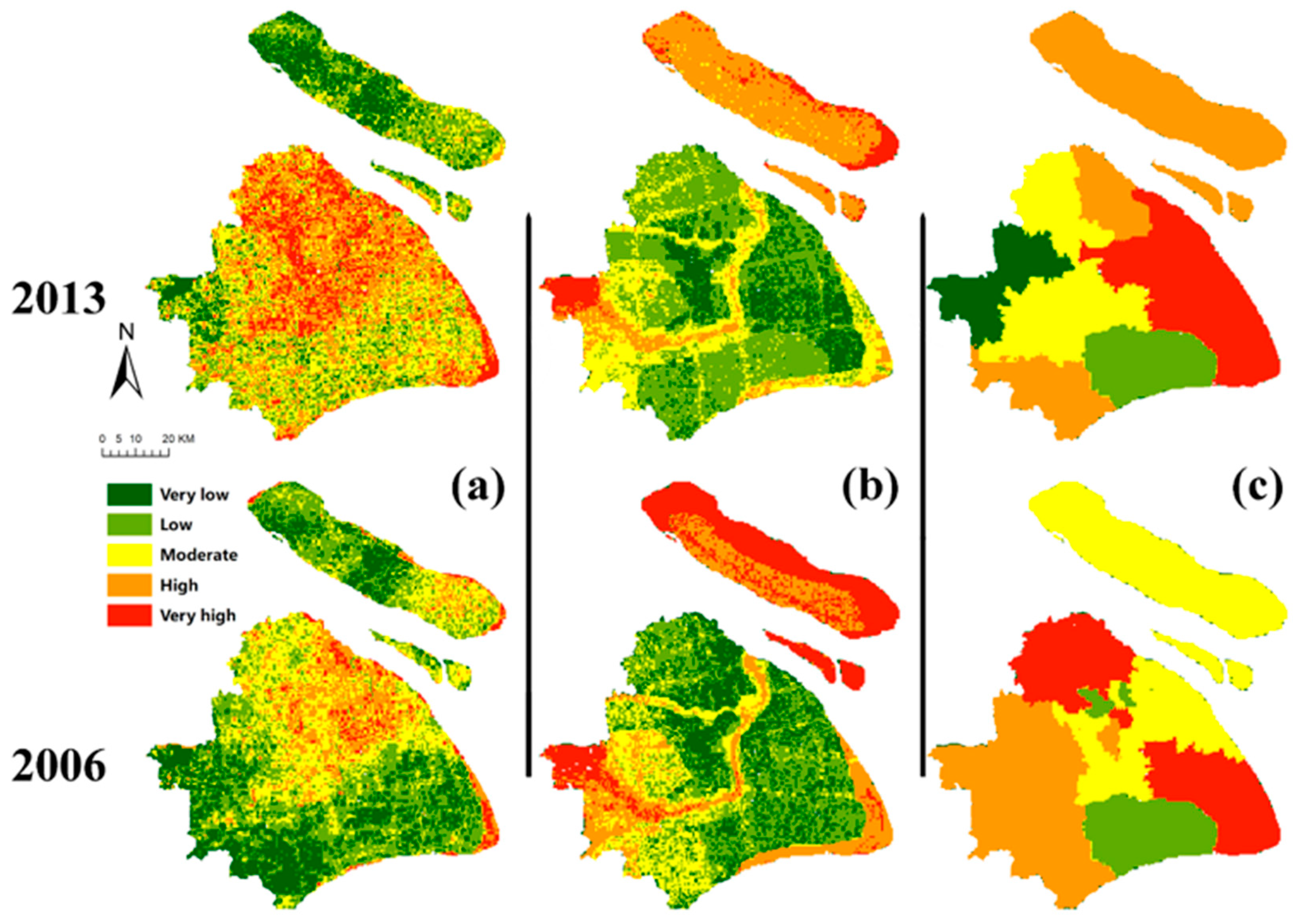
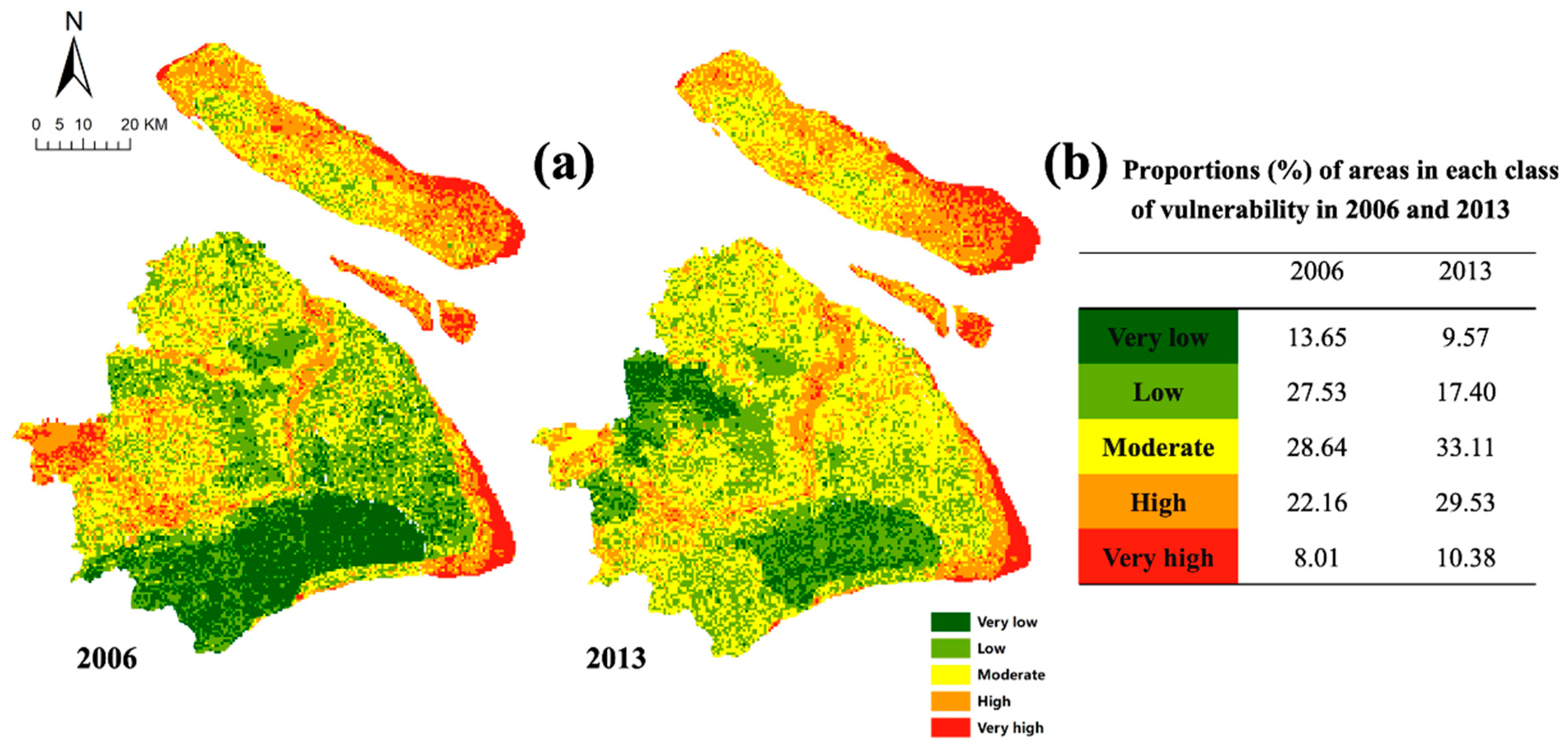
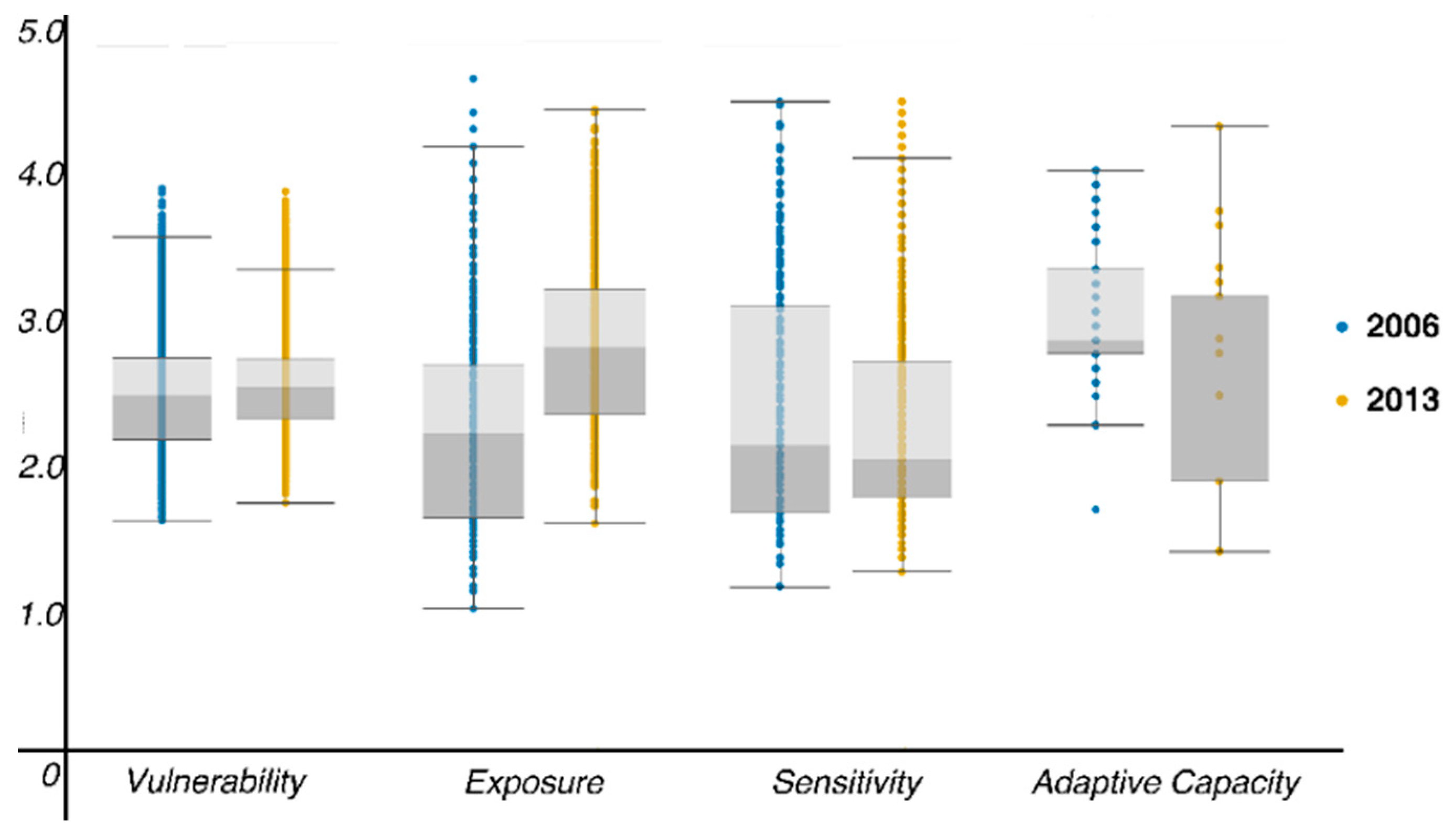
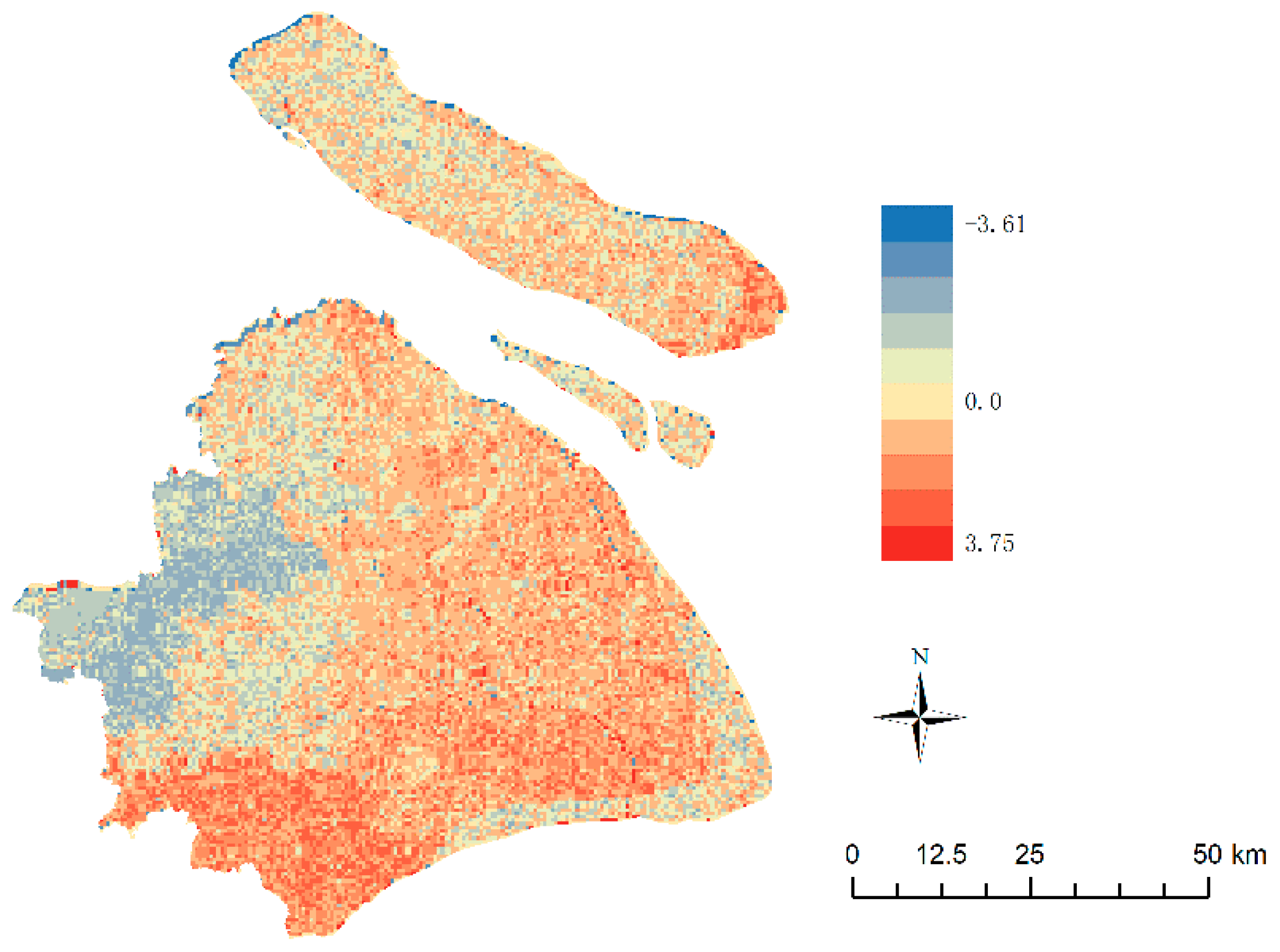
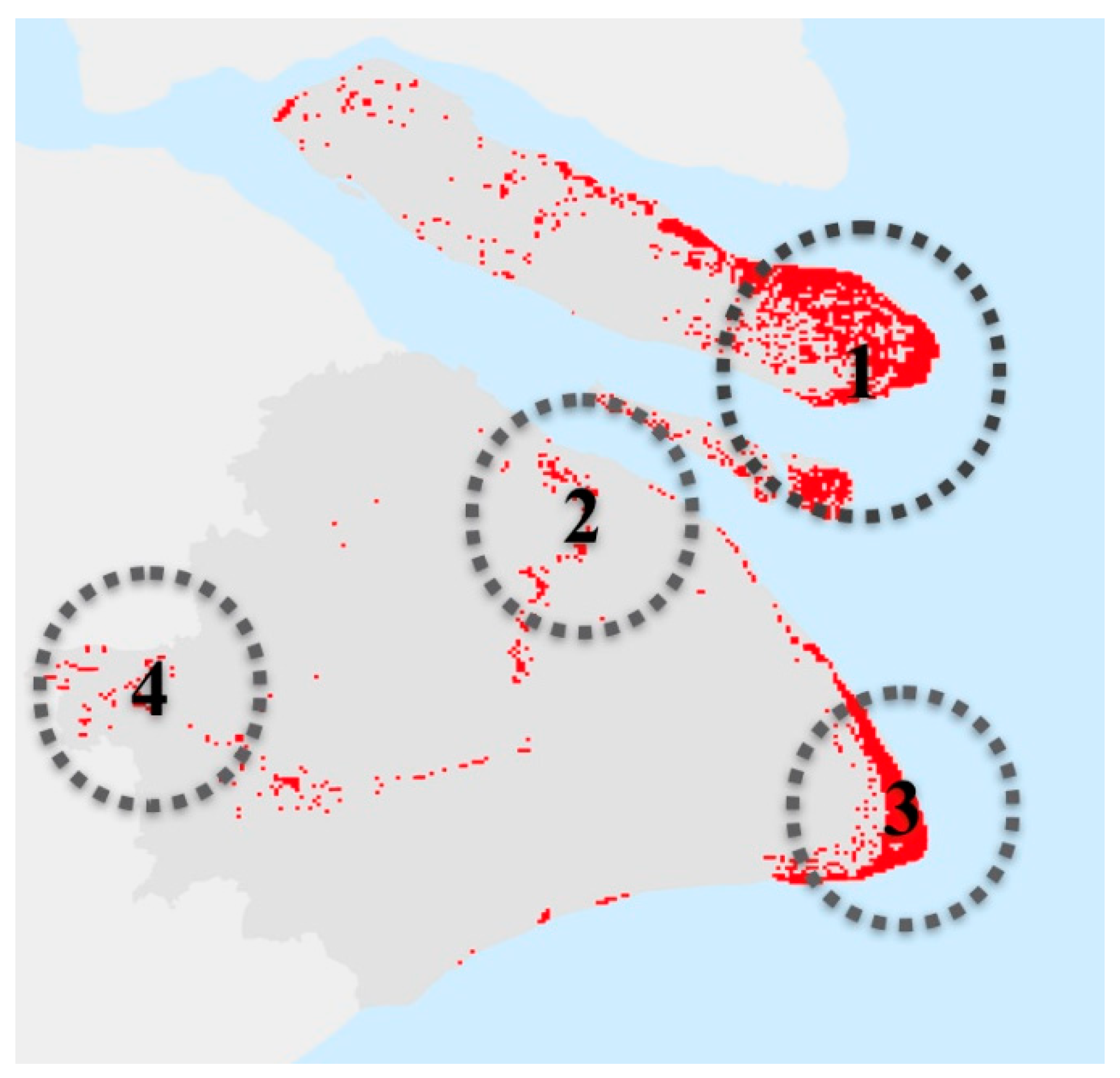
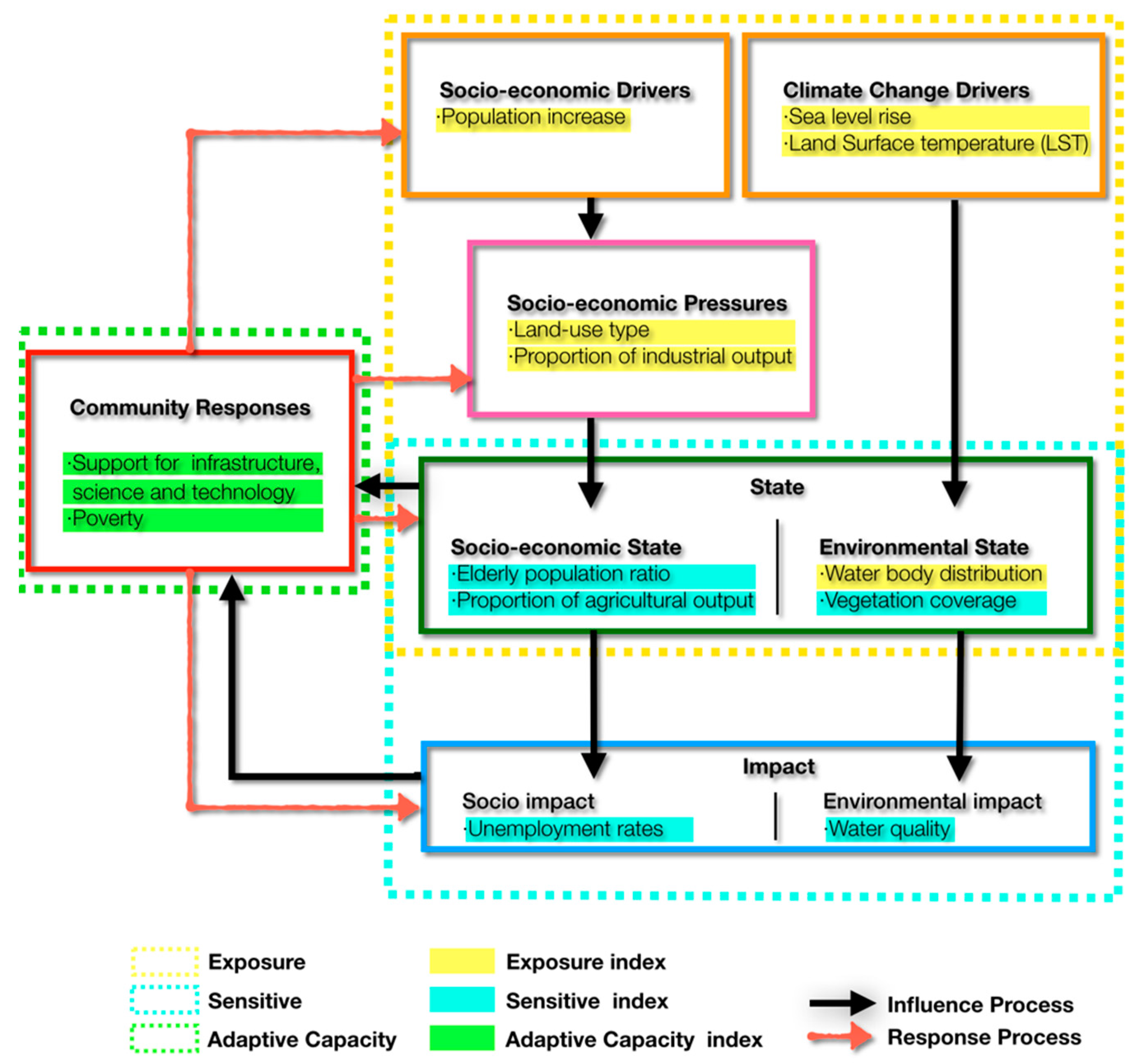
In urban areas, concentrated populations and societal changes intensify the influence of climate change. However, few studies have focused on vulnerability to climate-related risks on the scale of a single urban area. Against this backdrop, we reconstructed a spatial vulnerability framework based on the drivers-pressures-state-impact-response (DPSIR) model to reflect the complex interactions between urbanization and climate change and to integrate the natural and socio-economic factors of urban areas into this framework. Furthermore, to explore the relationship between rapid urbanization and climate change, we studied data from two years that represented different stages of urbanization. The results showed that the index framework was able to reconcile these two concepts to reflect the complex interactions between urbanization and climate change. The assessment results indicate that the overall degree of climate change vulnerability exhibits a generally increasing and dispersing trend after rapid urbanization. The increasing trend is influenced by an increase in low-vulnerability areas, and the dispersing trend is influenced by anthropogenic activities caused by rapid urbanization. The changes are reflected in the following observations: 1. The suburbs are affected by their own natural environmental characteristics and rapid urbanization; the vulnerability level has risen in most areas but has declined in certain inland areas. 2. High-vulnerability regions show minor changes during this stage due to the lasting impact of climate change. Finally, the main environmental problems faced by high-vulnerability areas are discussed based on existing research.
Keywords: climate change; vulnerability; model DPSIR; urbanization; Shanghai climate change; vulnerability; model DPSIR; urbanization; Shanghai