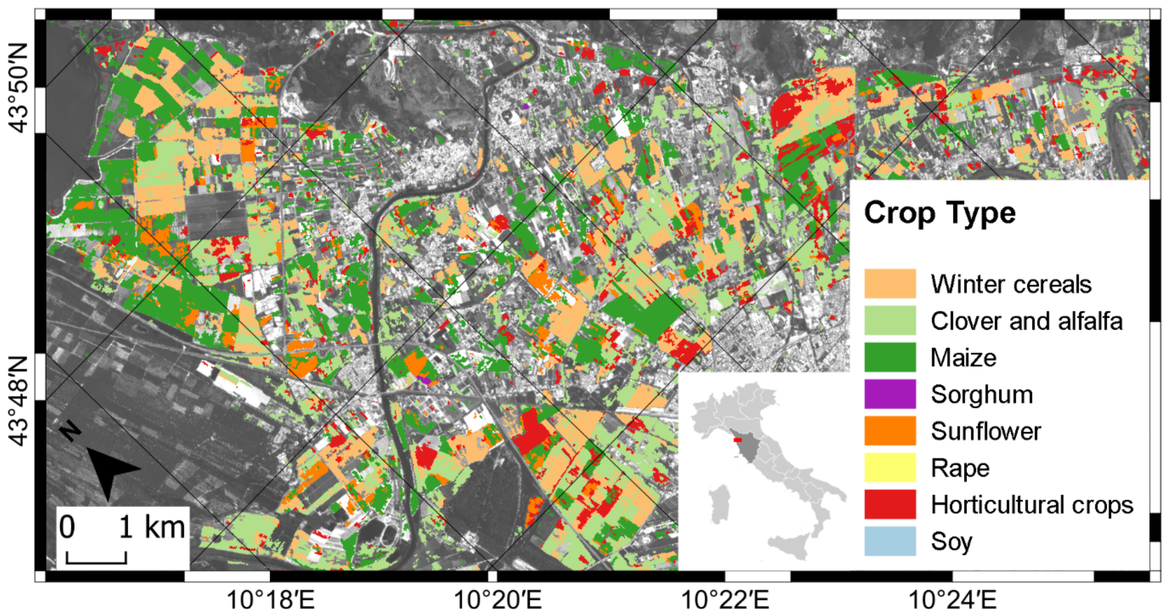

Cropland Mapping Using Earth Observation Derived Phenological Metrics †



Abstract
Share and Cite
Filipponi, F.; Smiraglia, D.; Mandrone, S.; Tornato, A. Cropland Mapping Using Earth Observation Derived Phenological Metrics. Biol. Life Sci. Forum 2021, 3, 58. https://doi.org/10.3390/IECAG2021-09732
Filipponi F, Smiraglia D, Mandrone S, Tornato A. Cropland Mapping Using Earth Observation Derived Phenological Metrics. Biology and Life Sciences Forum. 2021; 3(1):58. https://doi.org/10.3390/IECAG2021-09732
Chicago/Turabian StyleFilipponi, Federico, Daniela Smiraglia, Stefania Mandrone, and Antonella Tornato. 2021. "Cropland Mapping Using Earth Observation Derived Phenological Metrics" Biology and Life Sciences Forum 3, no. 1: 58. https://doi.org/10.3390/IECAG2021-09732
APA StyleFilipponi, F., Smiraglia, D., Mandrone, S., & Tornato, A. (2021). Cropland Mapping Using Earth Observation Derived Phenological Metrics. Biology and Life Sciences Forum, 3(1), 58. https://doi.org/10.3390/IECAG2021-09732